FLAT 7
8 HAMPSTEAD HILL GARDENS, LONDON, GREATER LONDON NW3 2PL
£3,900 pcm
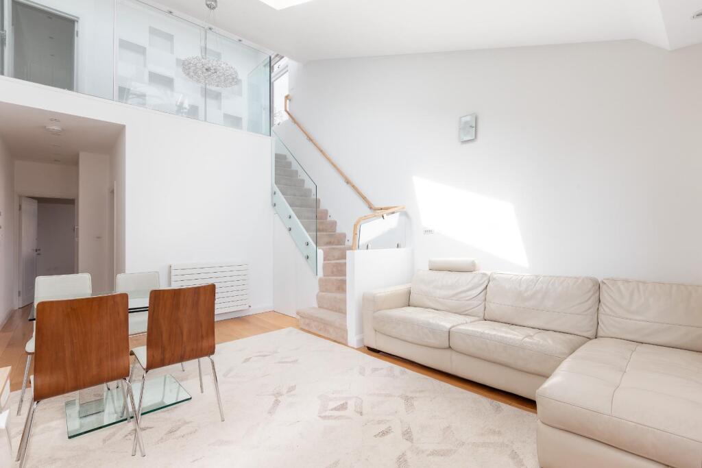
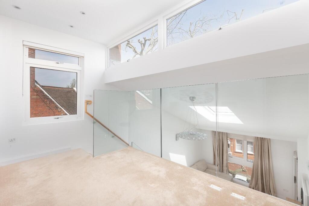
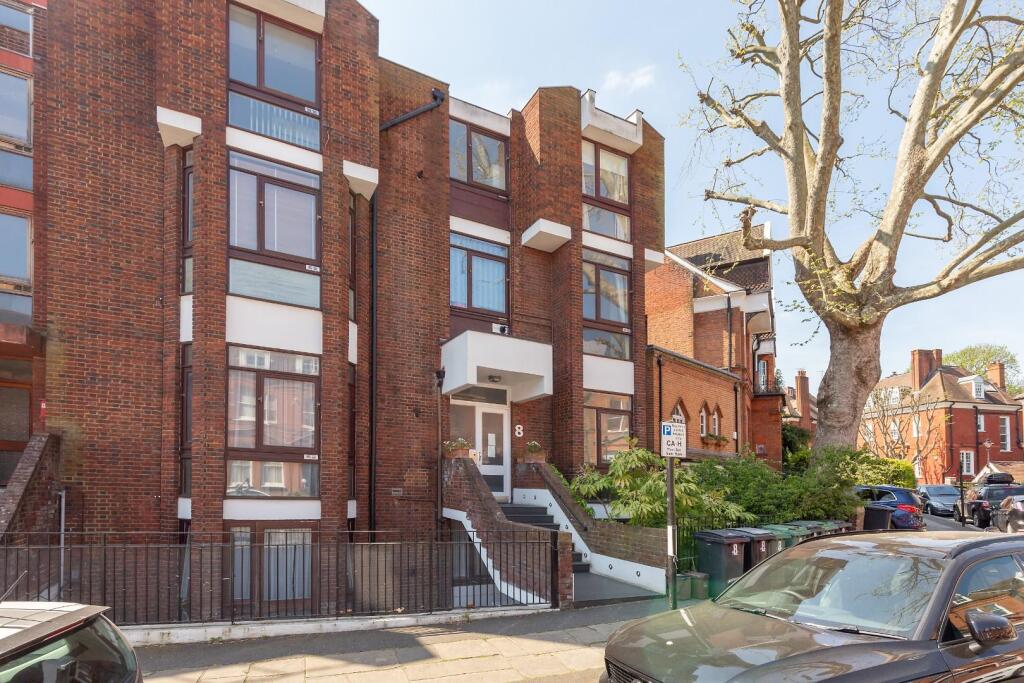
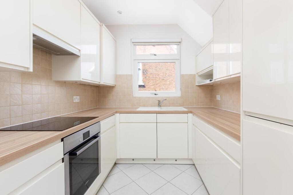
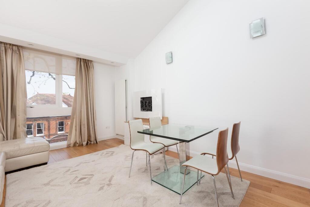
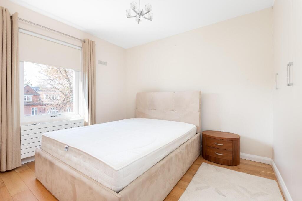
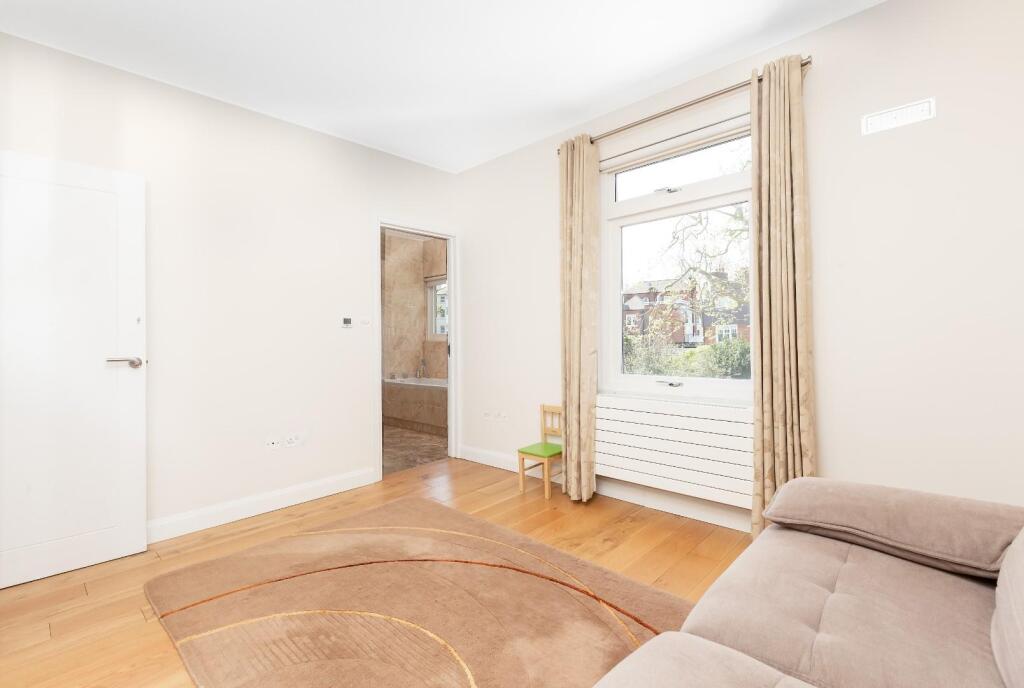
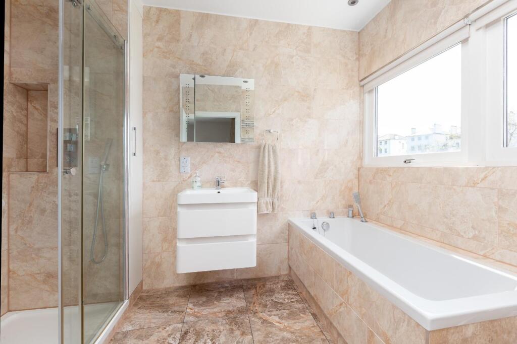
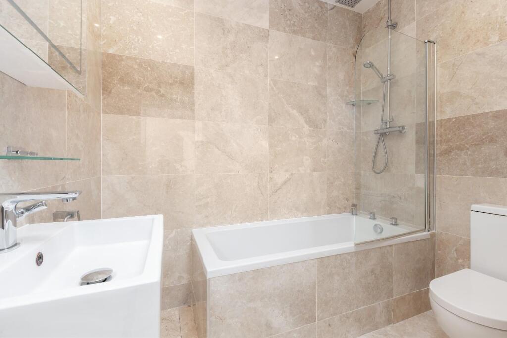
Photo 1 Photo 2 Photo 3 Photo 4 Photo 5 Photo 6 Photo 7 Photo 8 Photo 9
/ 9
Property details
Floor area
93 m²
Council tax band
F
Year built
England and Wales: 1976-1982
Deprivation
Decile 10 (31,645 of 33,755)
Street crime
660 incidents within 1 mile (Apr 2026)
Key features
- Contemporary 3 bedroom duplex apartment
- Modern block with lift
- Reception plus mezzanine study
- Kitchen with all appliances
- Master bedroom with en suite
- Fitted wardrobes to all bedrooms
- Family bathroom
- Moments to Hampstead Heath
- Close to Hampstead and Belsize Parks amenities
- EPC Rating C, Council Tax: Camden band F
Additional details
- Electricity
- Mains supply
- Water
- Mains supply
- Sewerage
- Mains supply
- Heating
- Gas central
- Parking
- Permit
Description
Listed by
Belsize Park
Parkheath
Reference: 169073876
EPC Rating & Upgrade Cost
Fetching EPC data… Refresh this page in a moment.
Flood risk
Zone: 1
Risk: Low
Job (default Low)
Floorplans
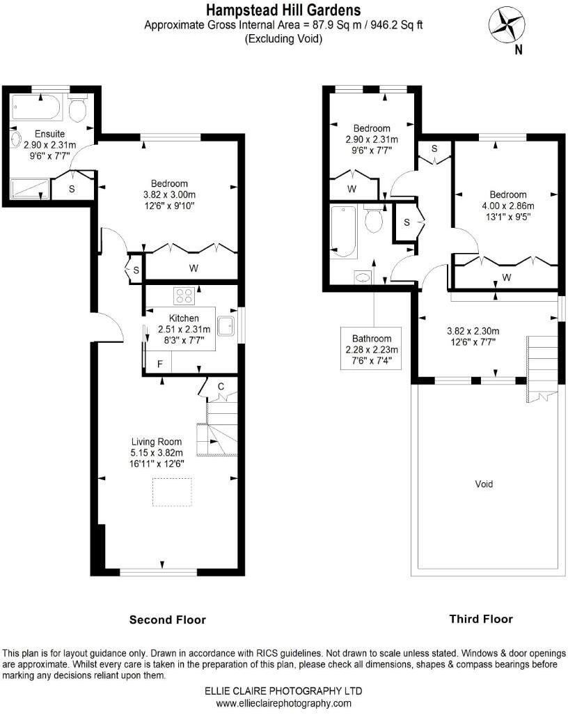
Floorplan 1
EPC Graphs
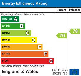
EE Rating
Company ownership
Registered legal owner is a company.
Company: 8 HAMPSTEAD HILL GARDENS FREEHOLD LIMITED (6640309)
Rental Range
Estimated market rent for Camden. Low = conservative, Realistic = average, Optimistic = best case.
Based on Local Authority from postcode lookup → Camden.
LHA (30th percentile) floor for Inner North London: £2,154/mo (Apr 2025 – Mar 2026)
Location
Nearby
Nearest stations, universities and amenities (distance from property).
| Type | Name | Distance |
|---|---|---|
| Bus stop | Rosslyn Hill | 0.1 miles |
| Bus stop | Royal Free Hospital | 0.1 miles |
| Shop | Property Divas | 0.1 miles |
| Shop | The Sweet Pea | 0.1 miles |
| Train station | Hampstead Heath | 0.2 miles |
| Train station | Belsize Park | 0.4 miles |
| University | Central Belsize Square | 0.5 miles |
| University | LBS Behaviour Lab | 2.1 miles |
| Hospital | The Portland Hospital | 2.5 miles |
| Hospital | Sleep & Health Clinic | 2.5 miles |
Street-level crime
| Category | Count |
|---|---|
| Anti-social behaviour | 181 |
| Violence and sexual offences | 141 |
| Theft from the person | 55 |
| Vehicle crime | 55 |
| Other theft | 54 |
| Shoplifting | 51 |
| Public order | 40 |
| Burglary | 28 |
| Criminal damage and arson | 18 |
| Robbery | 16 |
| Drugs | 14 |
| Bicycle theft | 4 |
| Possession of weapons | 3 |
| Total incidents | 660 |
Within 1 mile during Apr 2026. Source: data.police.uk (England & Wales).
Schools nearby
Nearest open schools with Ofsted ratings (England). Closed schools are not shown. Data from Get Information about Schools and Ofsted.
| Name | Type | Distance | Ofsted |
|---|---|---|---|
| Hampstead Hill School | Other | 0.1 miles | Outstanding — 14 Mar 2018 |
| Maria Montessori School | Other | 0.2 miles | Good — 21 Sep 2022 |
| The Academy School | Other | 0.2 miles | Outstanding — 18 Jan 2024 |
| Royal Free Hospital Children's School | Other | 0.2 miles | Outstanding — 12 Nov 2019 |
| Rosary Catholic Primary School | Primary | 0.2 miles | Good — 12 Jun 2012 |
Rental Comparables
Rental listings exist nearby, but none matched the 3-bedroom count for this property.