Church Broughton Derbyshire
DE65 5AL
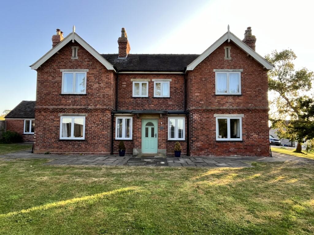
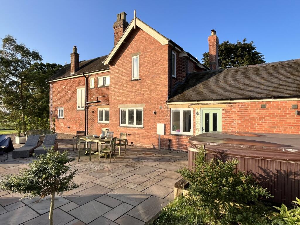
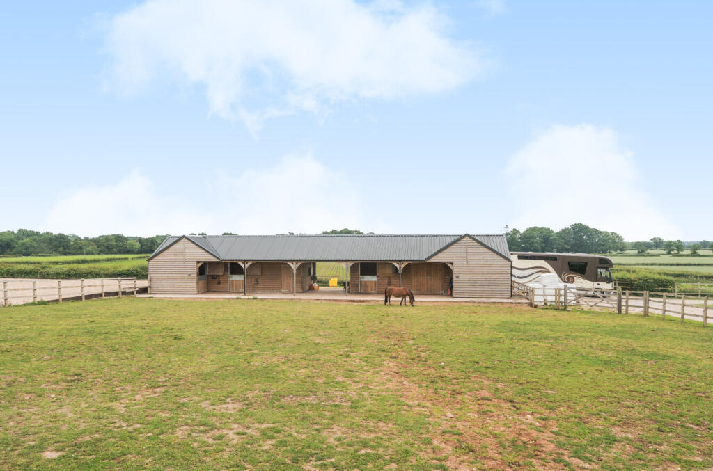
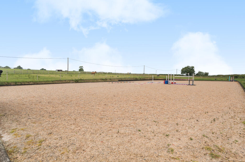
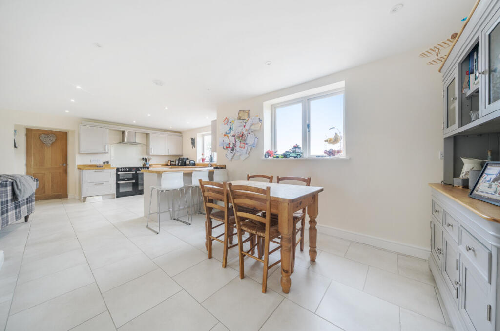
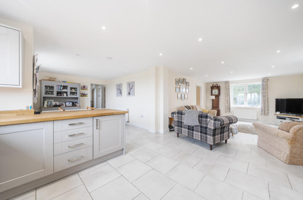
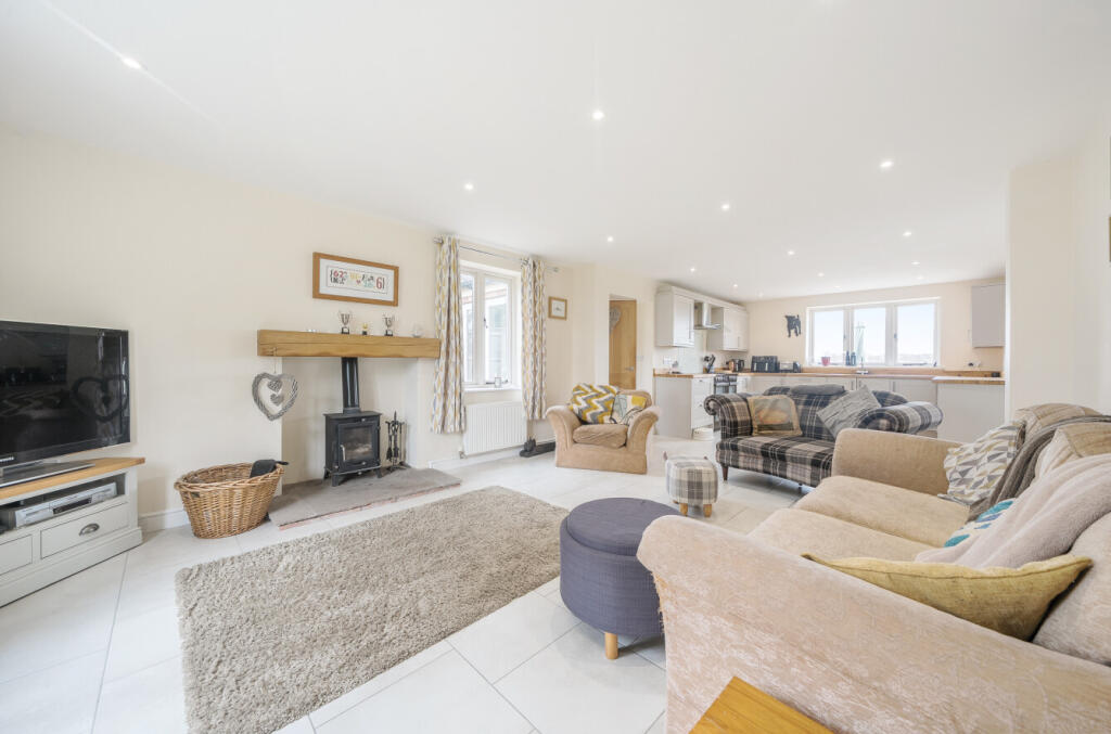
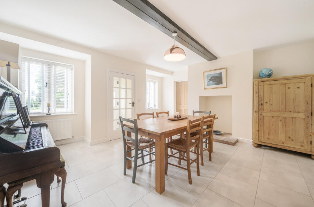
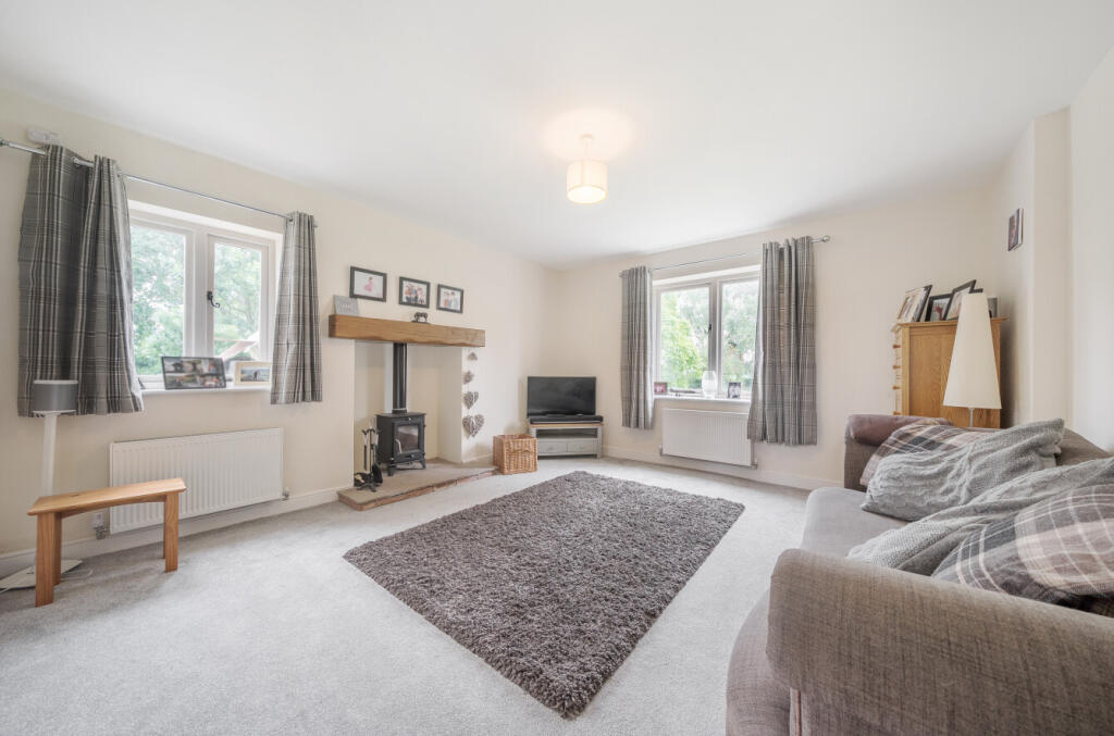
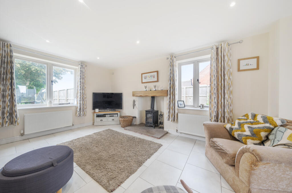
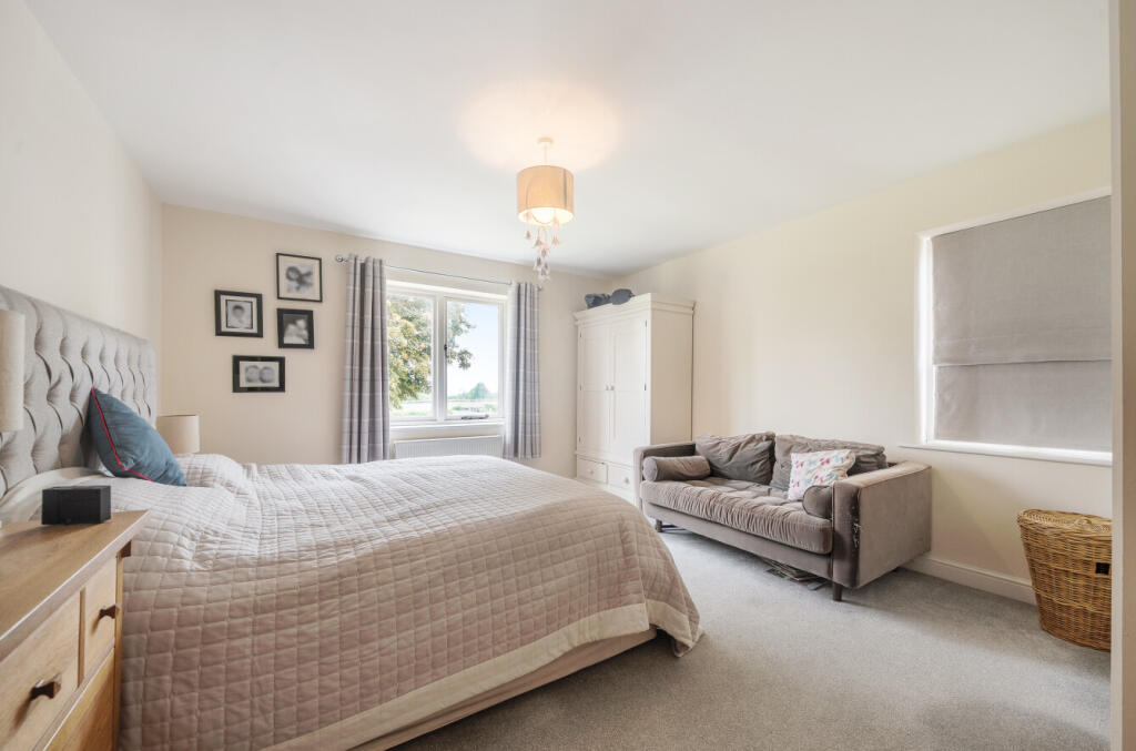
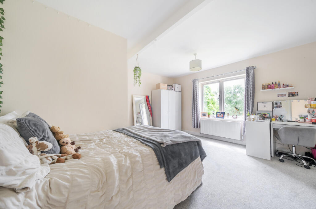
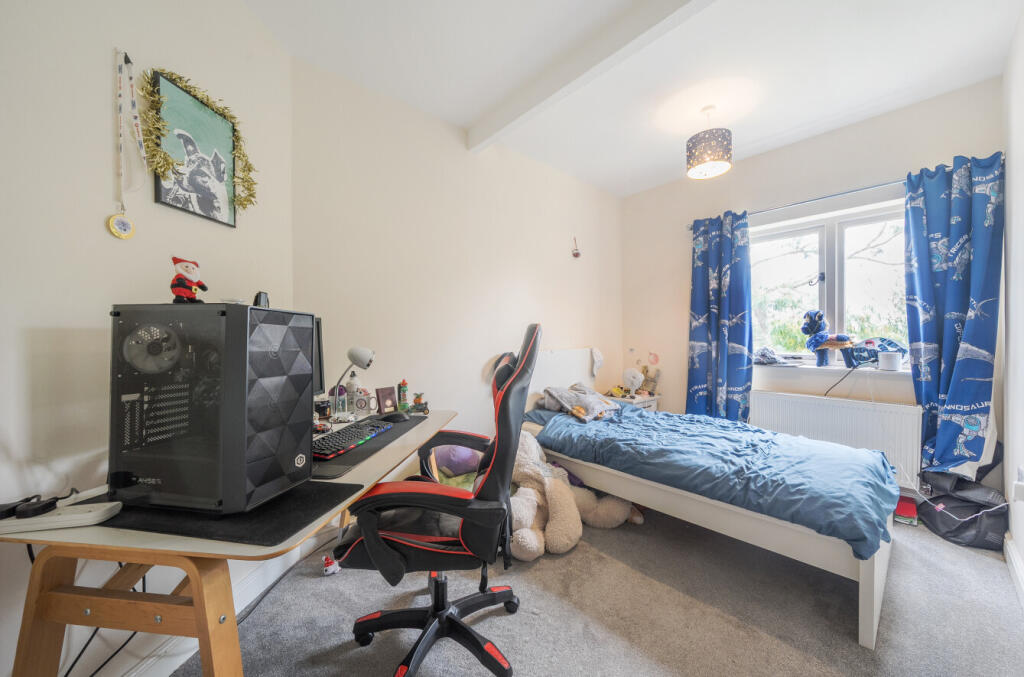
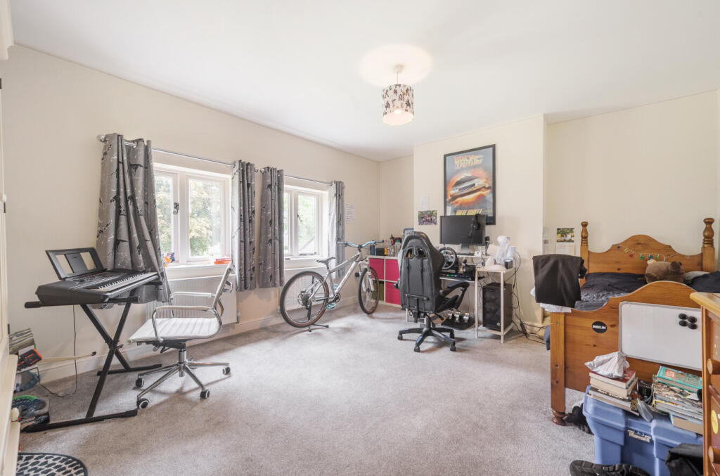
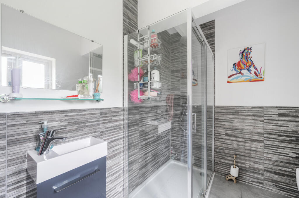
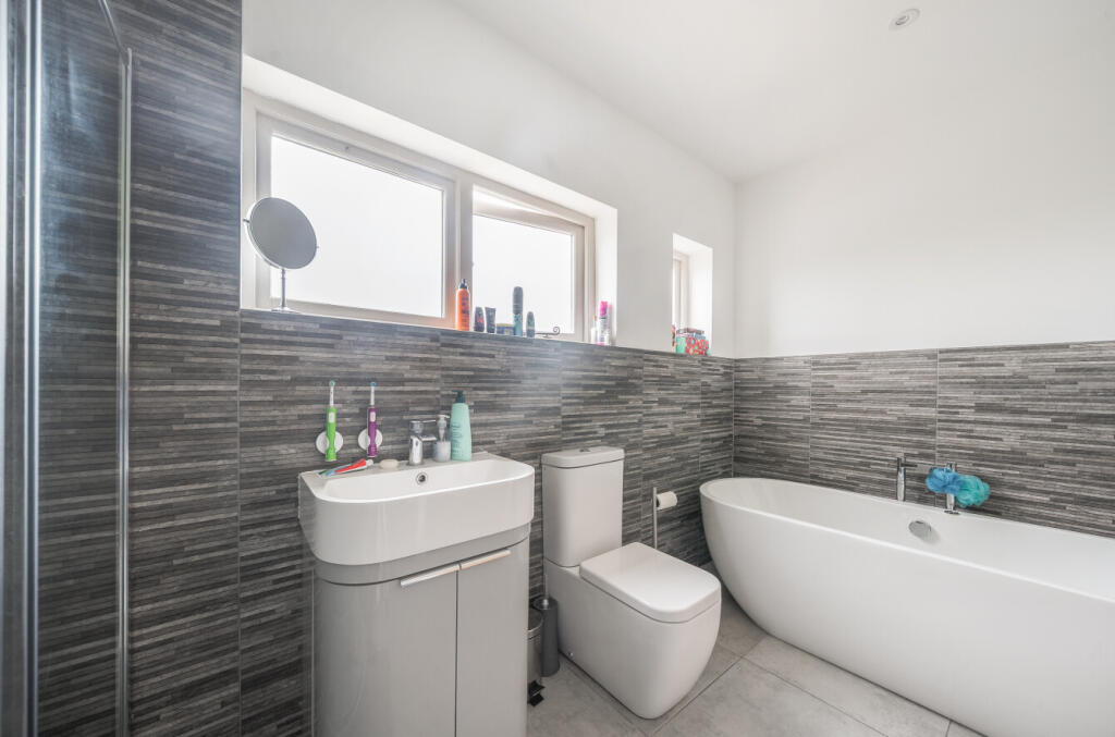
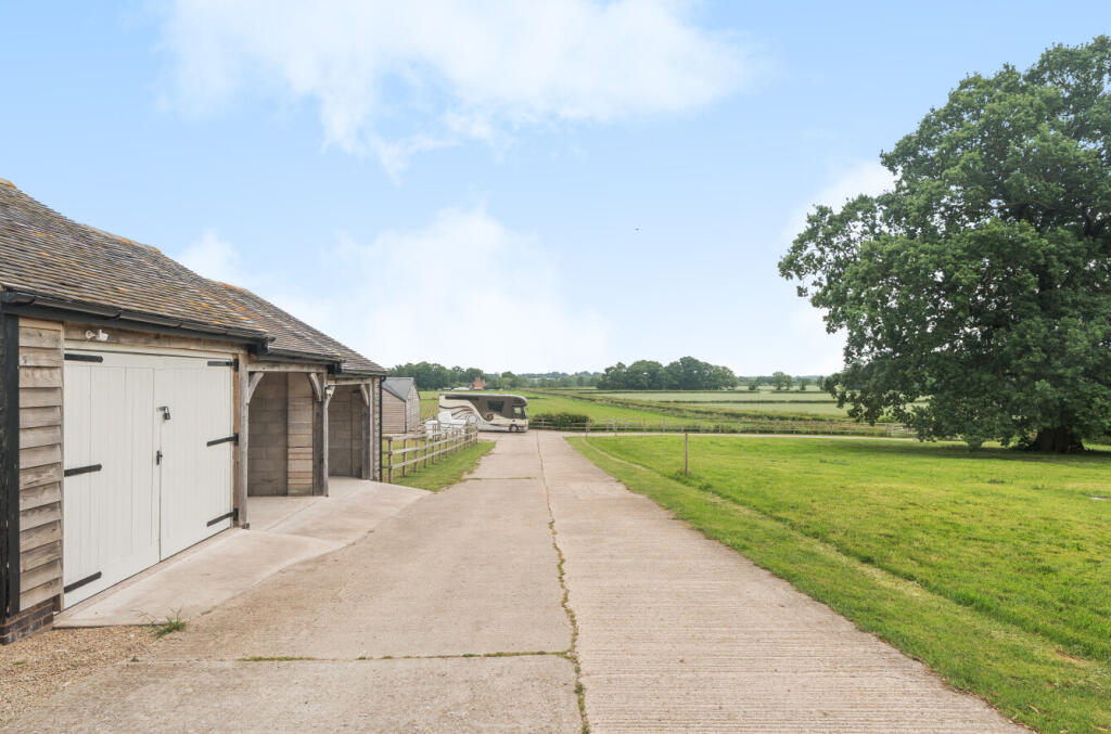
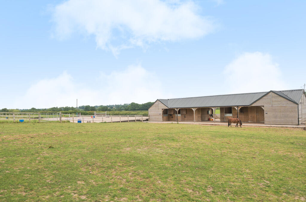
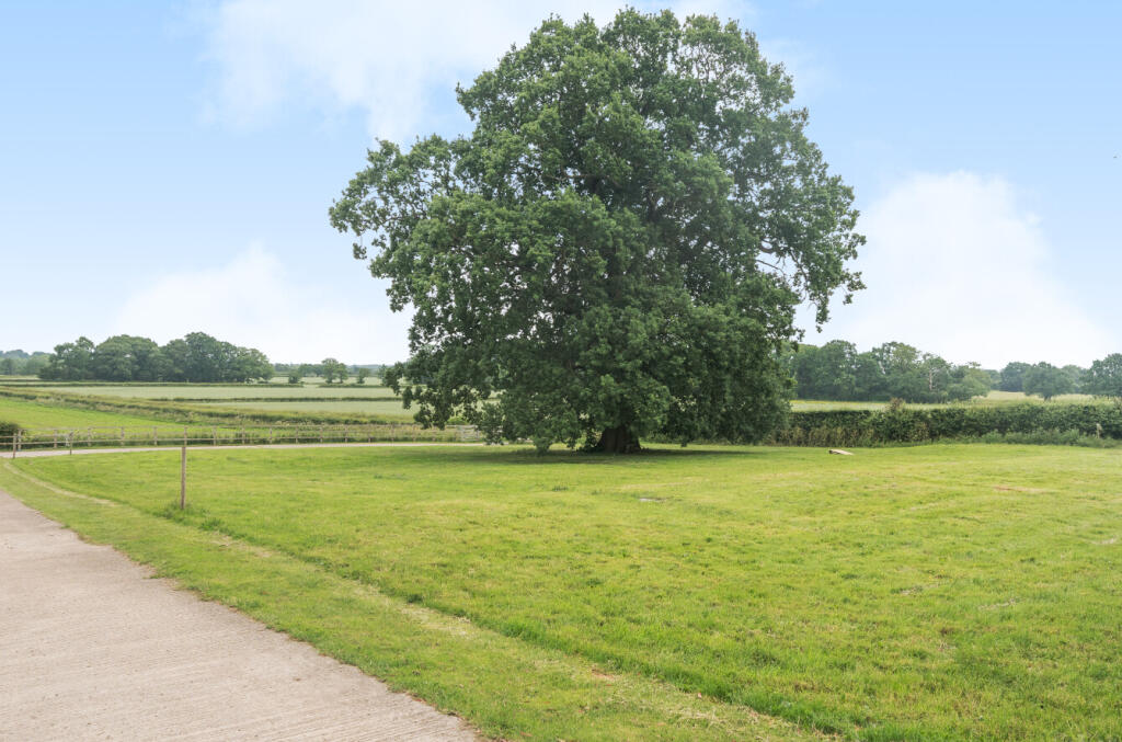
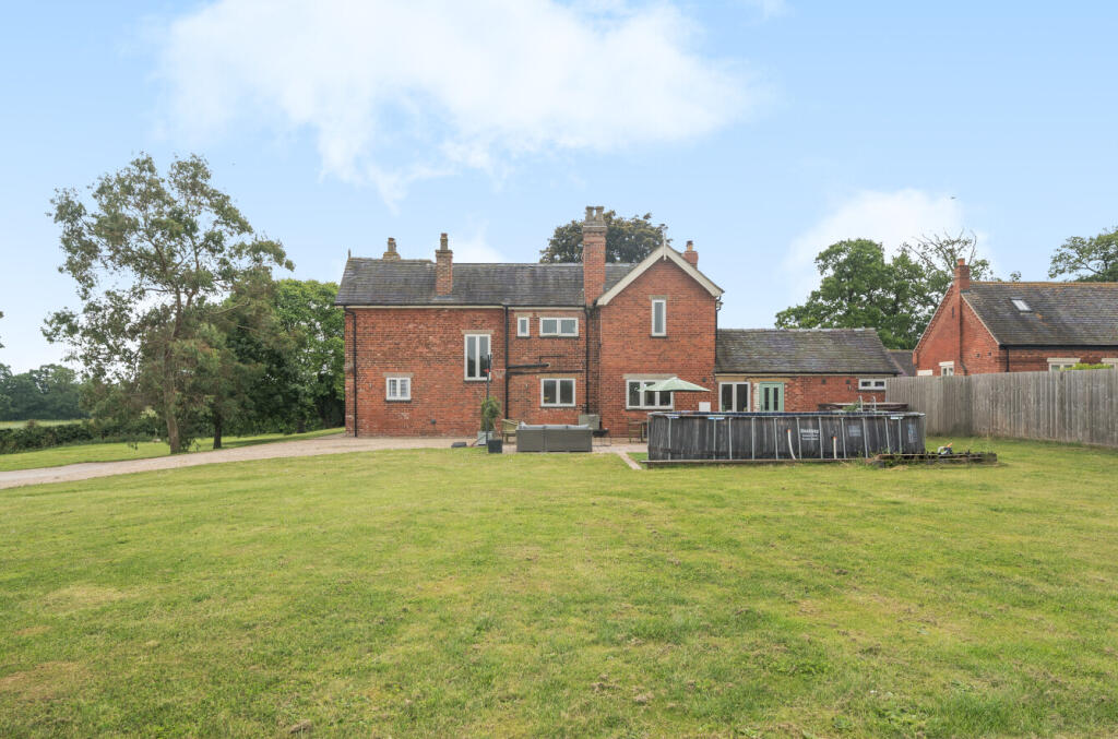
Photo 1 Photo 2 Photo 3 Photo 4 Photo 5 Photo 6 Photo 7 Photo 8 Photo 9 Photo 10 Photo 11 Photo 12 Photo 13 Photo 14 Photo 15 Photo 16 Photo 17 Photo 18 Photo 19 Photo 20 Photo 21 Photo 22
/ 22
Property details
Tenure
FREEHOLD
Local average
£455,376 (+206.3%)
Deprivation
Decile 5 (15,605 of 33,755)
Street crime
2 incidents within 1 mile (Apr 2026)
Key features
- Detached House
- Oil Fired Central Heating
- Double Glazing
- Equestrian Facilities
- Manège
- Off Road Parking
- Stable Yard
- Garage
- Carport
- Property Ref: AR8375
Additional details
- Parking
- Yes
- Garden
- Yes
Description
Spacious, Detached Farmhouse with Five Bedrooms
Ideal for Private Equestrian Use
Set In Just Over 5 Acres of Gardens and Paddock Grazing
Equestrian Facilities Comprising Four Stables, Tack Room, Feed Room, Hay Store, Wash Box and Manège
Attractive Formal Gardens
Ample Vehicle Parking, Including Space for a Horsebox
Sought After Location with Panoramic Views
This lifestyle property would be ideal for an equestrian family, having fantastic equestrian facilities including stabling, tack room, feed room, hay store, wash box, grazing paddocks and manège. There are large formal garden to three sides, a garage and ample parking for multiple vehicles, including space for a large horse box, caravan, trailer etc.
Church Broughton is a very popular area surrounded by delightful Derbyshire countryside. It has the benefit of a village inn and a noted primary school. The highly attractive market town of Ashbourne lies to the north of the village and is known as the gateway to the famous Peak District National Park. The A50 dual carriageway, located south of the village, provides swift onward connection to Stoke on Trent and the M6 motorway to the west and the M1 motorway and other East Midland centres including East Midlands International Airport to the east.
Listed by
Covering England, Wales and Scotland
Rural Scene
Reference: 163770782
EPC ratings on this postcode
We don't have a matched EPC for this property yet. Below are efficiency scores and details for other addresses on this postcode.
| Address | Current | Potential | Floor area | Age band | Type |
|---|---|---|---|---|---|
| 2 Lodge Hill Cottages, Lodge Hill, Church Broughton, DERBY | 36 | 92 | 102 m² | England and Wales: 1930-1949 | Detached |
| 2 Lodge Hill Cottages, Lodge Hill, Church Broughton, DERBY | 44 | 100 | 92 m² | England and Wales: 1950-1966 | Detached |
| 2 Lodge Hill Cottages, Lodge Hill, Church Broughton, DERBY | 34 | 75 | 99 m² | England and Wales: 1930-1949 | Detached |
| BARLEYCORN BARN, LODGE HILL FARM, UNNAMED ROAD LEADING FROM LONGFORD LANE TO BARTON HALL, DERBY | 71 | 92 | 167 m² | — | Terraced |
| Barton Lodge, Lodge Hill, Church Broughton, DERBY | 60 | 87 | 220 m² | England and Wales: 1900-1929 | Detached |
| BLACKTHORN BARN, LODGE HILL FARM, UNNAMED ROAD LEADING FROM LONGFORD LANE TO BARTON HALL, DERBY | 70 | 88 | 210 m² | — | Terraced |
| HAY LOFT BARN, LODGE HILL FARM, CHURCH BROUGHTON, DERBY | 70 | 104 | 84 m² | — | Detached |
| HONEYSUCKLE BARN, LODGE HILL FARM, UNNAMED ROAD LEADING FROM LONGFORD LANE TO BARTON HALL, DERBY | 72 | 91 | 198 m² | — | Terraced |
| Lodge Hill Farm, Lodge Hill, Church Broughton, DERBY | 57 | 69 | 209 m² | England and Wales: 1983-1990 | Detached |
| Lodge Hill Farm, Lodge Hill, Church Broughton, DERBY | 40 | 76 | 245 m² | England and Wales: 1930-1949 | Detached |
| Lodge Hill Farm, Lodge Hill, Church Broughton, DERBY | 24 | 76 | 249 m² | England and Wales: before 1900 | Detached |
| LONG ACRE BARN, LODGE HILL FARM, UNNAMED ROAD LEADING FROM LONGFORD LANE TO BARTON HALL, DERBY | 72 | 92 | 176 m² | — | Terraced |
| The Cow Shed, Lodge Hill Farm, Lodge Hill, DERBY | 63 | 68 | 451 m² | — | Detached |
| WHEATSHEAF BARN, LODGE HILL FARM, CHURCH BROUGHTON, DERBY | 71 | 94 | 153 m² | — | Terraced |
Flood risk
Zone: 1
Risk: Low
Job (default Low)
Floorplans
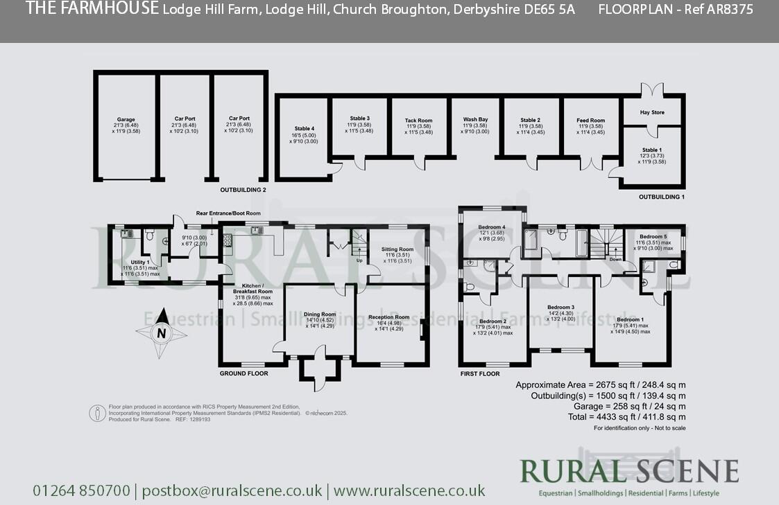
Floorplan 1
EPC Graphs
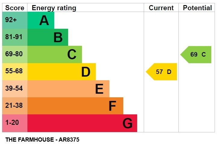
EPC 1
Price history
| Event | Date | Price | % change |
|---|---|---|---|
| Listed for sale | — | £1,395,000 | — |
Source: HM Land Registry Price Paid Data. Crown copyright.
Sold Comparables
Same street and nearby sales within 0.25 miles (last 5 years). Data from Land Registry Price Paid.
| Address | Price | Date | Type |
|---|---|---|---|
| LODGE HILL FARM BLACKTHORN BARN LODGE HILL, CHURCH BROUGHTON, DERBY, SOUTH DERBYSHIRE, DERBYSHIRE, DE65 5AL | £650,000 | 30/06/2021 | Detached |
| LODGE HILL FARM THE FARM HOUSE LODGE HILL, CHURCH BROUGHTON, DERBY, SOUTH DERBYSHIRE, DERBYSHIRE, DE65 5AL | £940,000 | 30/06/2021 | Detached |
Area average: £795,000 (2 sales)
Capital growth trend
Land Registry outcode average: last 12 months vs 5y and 10y ago (from sold prices).
House Price Index (HM Land Registry — official index, not sold-price averages): South Derbyshire. Series: Detached. As of March 2026.
Rental Range
Estimated market rent for South Derbyshire. Low = conservative, Realistic = average, Optimistic = best case.
Based on Local Authority from postcode lookup → South Derbyshire.
LHA (30th percentile) floor for Derby: £932/mo (Apr 2025 – Mar 2026)
Location
Address
Sutton Road
Nearby
Nearest stations, universities and amenities (distance from property).
| Type | Name | Distance |
|---|---|---|
| Shop | Newlands Farm Shop & Tea Room | 1.6 miles |
| Bus stop | Dove Valley Business Park | 1.9 miles |
| Bus stop | Watery Lane | 2.0 miles |
| Shop | Unknown | 2.4 miles |
| Train station | Tutbury and Hatton | 2.9 miles |
| Train station | Willington | 6.1 miles |
| Hospital | Saint Oswald's Hospital | 7.8 miles |
| University | University of Derby | 7.9 miles |
| Hospital | Florence Nightingale Community Hospital | 8.9 miles |
Street-level crime
| Category | Count |
|---|---|
| Other crime | 1 |
| Violence and sexual offences | 1 |
| Total incidents | 2 |
Within 1 mile during Apr 2026. Source: data.police.uk (England & Wales).
Schools nearby
Nearest open schools with Ofsted ratings (England). Closed schools are not shown. Data from Get Information about Schools and Ofsted.
| Name | Type | Distance | Ofsted |
|---|---|---|---|
| Church Broughton CofE Primary School | Primary | 0.7 miles | Good — 26 Feb 2016 |
| Longford CofE Primary School | Primary | 2.1 miles | Good — 8 Dec 2011 |
| Heath Fields Primary School | Primary | 2.7 miles | Good — 28 Sep 2023 |
| Hilton Spencer Academy | Primary | 3.1 miles | Good — 22 Jul 2014 |
| Long Lane Church of England Primary School | Primary | 3.2 miles | Requires improvement — 17 Sep 2023 |
Rental Comparables
Loading rental comparables for this postcode. Refresh in a few minutes.
Rent-driven metrics
Based on Area rent estimate.
- Rent ratio — Monthly rent ÷ purchase price (1% rule). 1%+ = strong, 0.8–1% = okay, <0.8% = weak for cashflow.
- Max investor price — Rent ÷ 0.8%; the price at which rent would be 0.8% of price (Stoke-style target).
- Target investor price — Rent ÷ 1%; the price at which rent would be 1% of price (strong cashflow band).
- Gross yield — Annual rent as % of purchase price (no costs).
Enter House Number
Enter the house number to help us retrieve more accurate pricing history and property data.
Please log in to submit or correct the house number for this listing.
Log in to continue