278 ORME ROAD
NEWCASTLE, NEWCASTLE, STAFFORDSHIRE ST5 2PB
£1,150 pcm
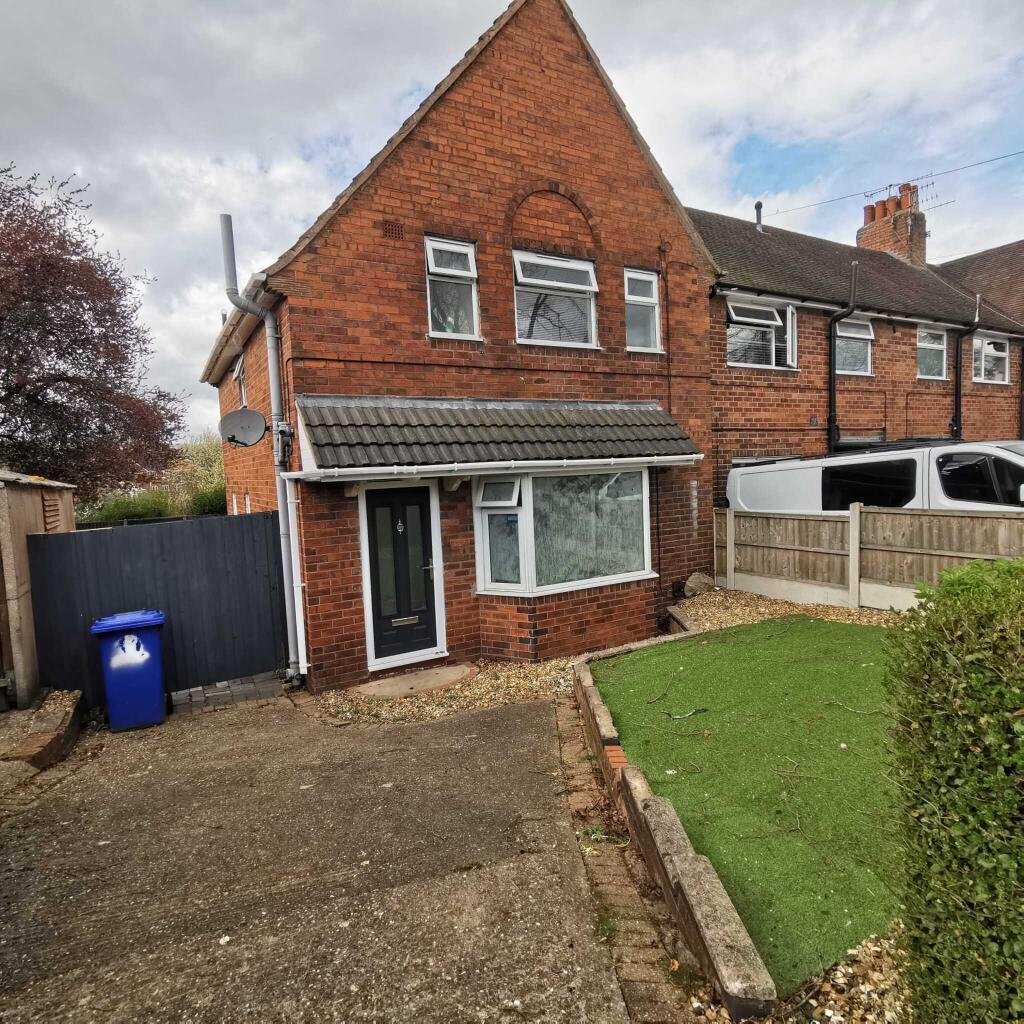
Photo 1
/ 1
Property details
Floor area
71 m²
Deprivation
Decile 4 (11,963 of 33,755)
Street crime
269 incidents within 1 mile (Apr 2026)
Key features
- Three Bedrooms
- One Reception Room
- Fitted Kitchen
- Ground Floor Bathroom
- First Floor Bathroom
- Garage
- Off Street Parking
- Excellent Location
- Close to all Amenities
- Must View
Additional details
- Parking
- Yes
- Garden
- Yes
Description
For further information regarding the lettings process, deposit and fees please go to
Midland Housing is a member of the Client Money Protection Scheme (003930) and also a member of the redress scheme, The Property Ombudsman (07138)
PLEASE NOTE: YOU CAN NOW CHAT ONLINE VIA OUR OWN MIDLANDHOUSING WEBSITE
CALL NOW FOR IMMEDIATE ACCOMPANIED VIEWINGS*
"*ONLINE CHAT SERVICE AVAILABLE ON OUR WEBSITE BETWEEN 10AM TO 5PM
OUR DEDICATED CUSTOMER SERVICE TEAM CAN HELP AND GUIDE YOU**
Listed by
Birmingham
Midland Housing
Reference: 173782115
EPC Rating & Upgrade Cost
Fetching EPC data… Refresh this page in a moment.
Flood risk
Zone: 1
Risk: Low
Job (default Low)
Rental Range
Estimated market rent for Newcastle-under-Lyme. Low = conservative, Realistic = average, Optimistic = best case.
Based on Local Authority from postcode lookup → Newcastle-under-Lyme.
LHA (30th percentile) floor for Staffordshire North: £593/mo (Apr 2025 – Mar 2026)
Location
Nearby
Nearest stations, universities and amenities (distance from property).
| Type | Name | Distance |
|---|---|---|
| Bus stop | The Pool Dam PH | 0.1 miles |
| Bus stop | Wain Avenue | 0.1 miles |
| Shop | Keel Road Stores | 0.1 miles |
| Shop | Tesco Express | 0.4 miles |
| University | Keele University | 1.2 miles |
| Hospital | Royal Stoke University Hospital | 1.4 miles |
| Hospital | Hartshill Medical Centre | 1.4 miles |
| Train station | Silverdale | 1.9 miles |
| Train station | Apedale Road | 2.1 miles |
| University | University of Staffordshire Stoke Campus | 2.6 miles |
Street-level crime
| Category | Count |
|---|---|
| Violence and sexual offences | 73 |
| Anti-social behaviour | 55 |
| Shoplifting | 30 |
| Public order | 26 |
| Other theft | 20 |
| Criminal damage and arson | 15 |
| Drugs | 11 |
| Burglary | 10 |
| Vehicle crime | 10 |
| Other crime | 9 |
| Possession of weapons | 4 |
| Robbery | 4 |
| Bicycle theft | 1 |
| Theft from the person | 1 |
| Total incidents | 269 |
Within 1 mile during Apr 2026. Source: data.police.uk (England & Wales).
Schools nearby
Nearest open schools with Ofsted ratings (England). Closed schools are not shown. Data from Get Information about Schools and Ofsted.
| Name | Type | Distance | Ofsted |
|---|---|---|---|
| Edenhurst Preparatory School | Other | 0.4 miles | — (No rating) |
| Newcastle Academy | Secondary | 0.4 miles | Good — 13 Dec 2023 |
| St Giles' and St George's Church of England Academy | Primary | 0.4 miles | Good — 21 May 2023 |
| Newcastle and Stafford Colleges Group | Other | 0.5 miles | — (No rating) |
| Westlands Primary School | Primary | 0.5 miles | Good — 27 Nov 2023 |
Rental Comparables
Residential lets from OpenRent and Rightmove for the area (same bedroom count). Use to validate rent estimates. Student lets are excluded.
Average rent: £947/mo (36 listings)