Ashlands Road
Hartshill, Stoke-On-Trent, Staffordshire, ST4, ST4 6QR
£1,295 pcm
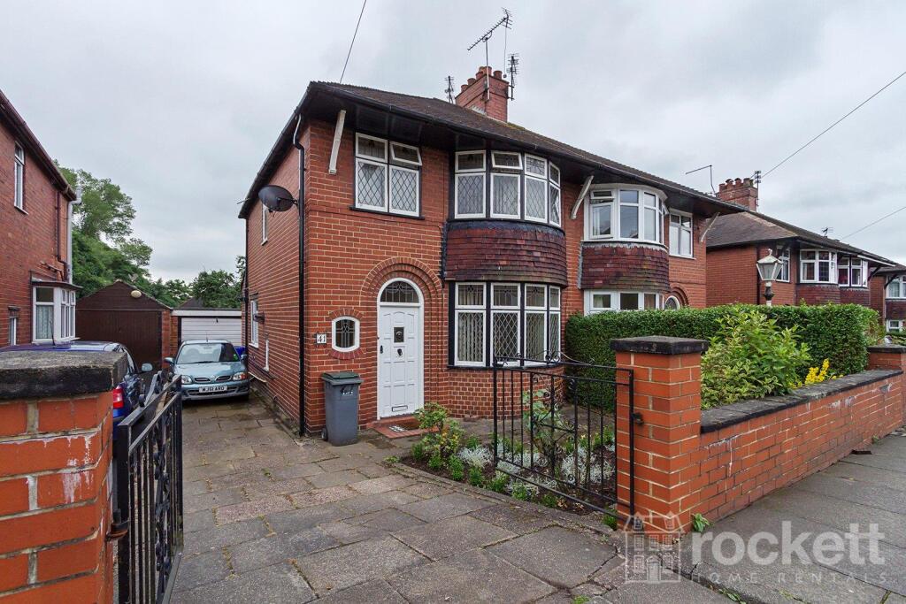
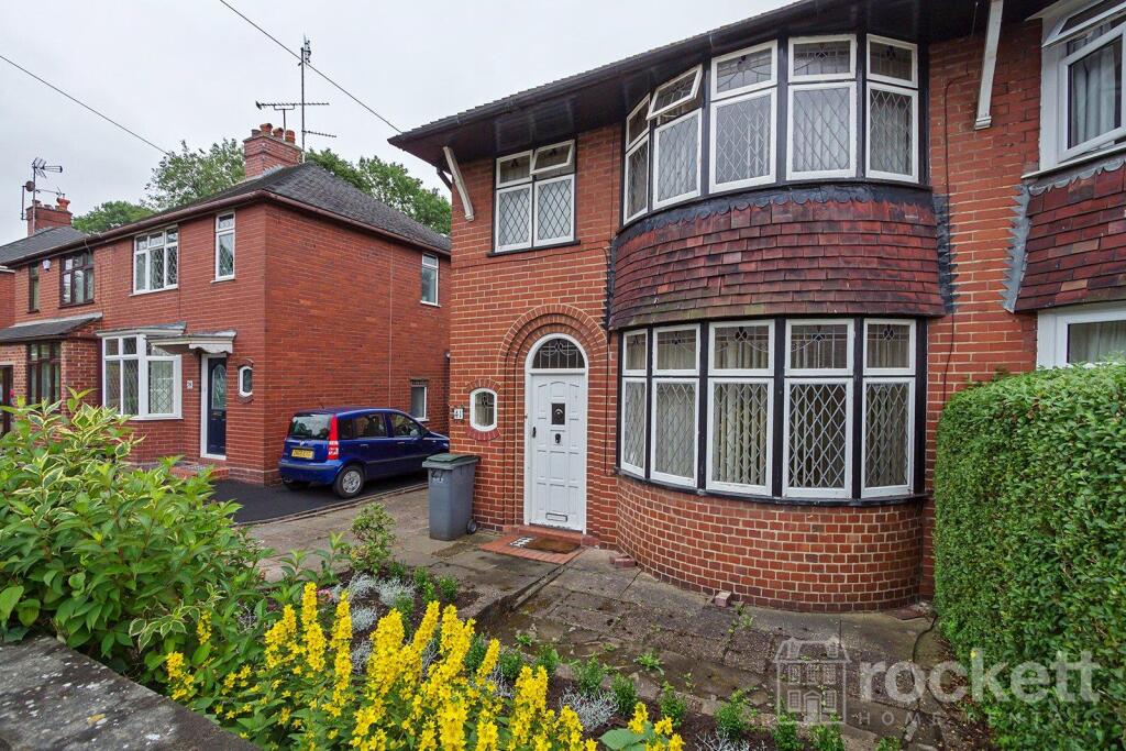
Property details
Council tax band
C
Deprivation
Decile 6 (19,140 of 33,755)
Street crime
397 incidents within 1 mile (Apr 2026)
Additional details
- Parking
- Yes
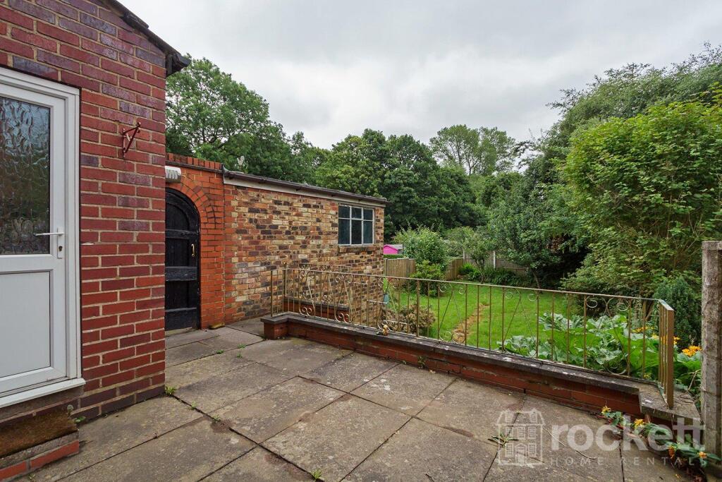
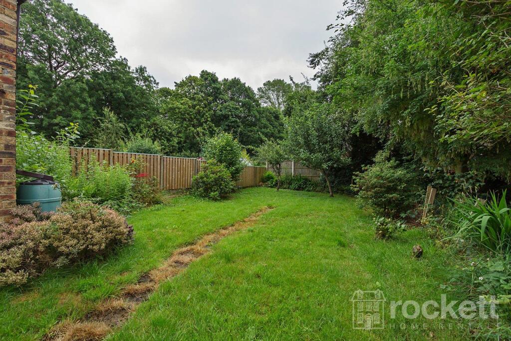
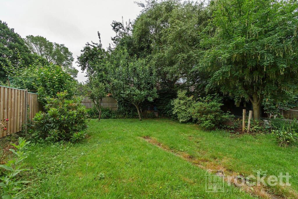
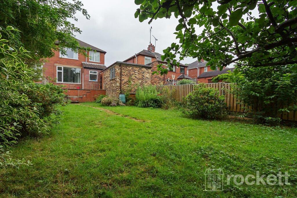
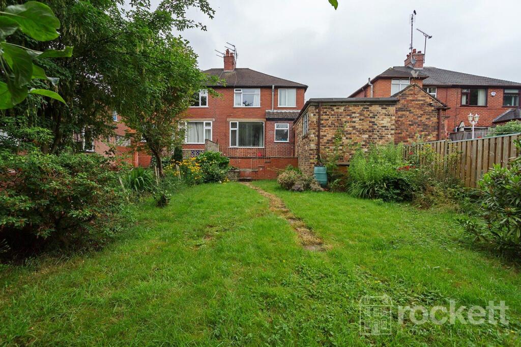
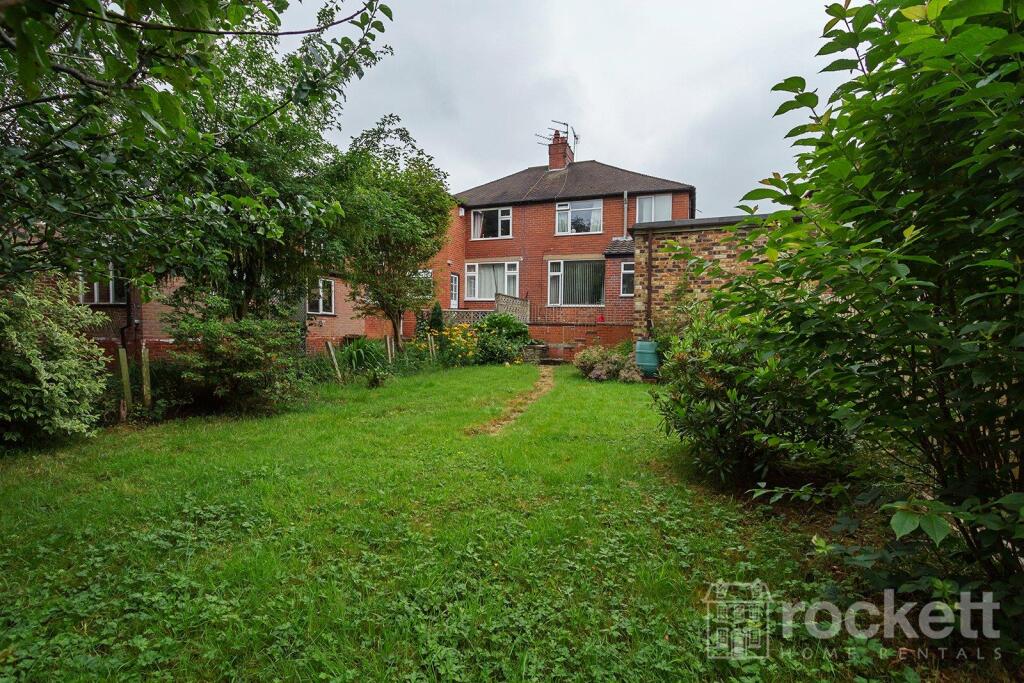
- Garden
- Yes
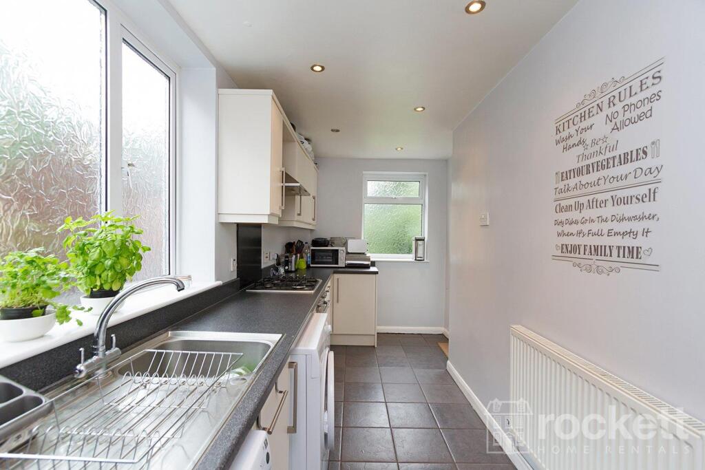
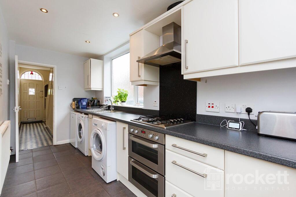
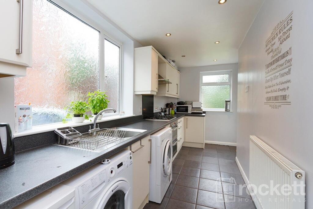
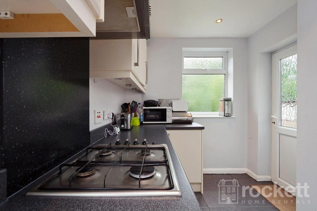
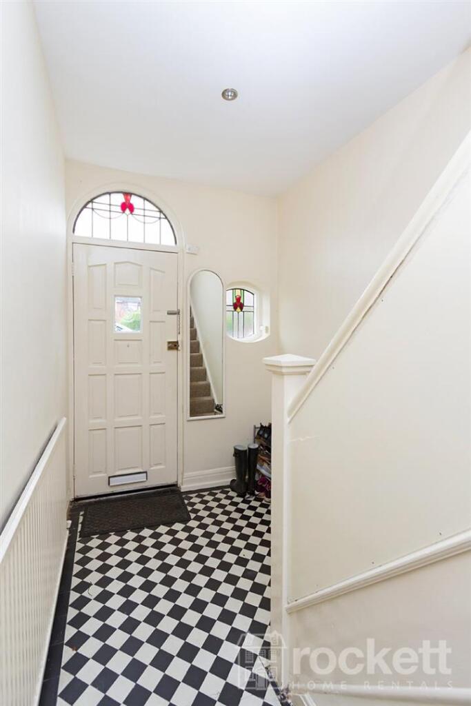
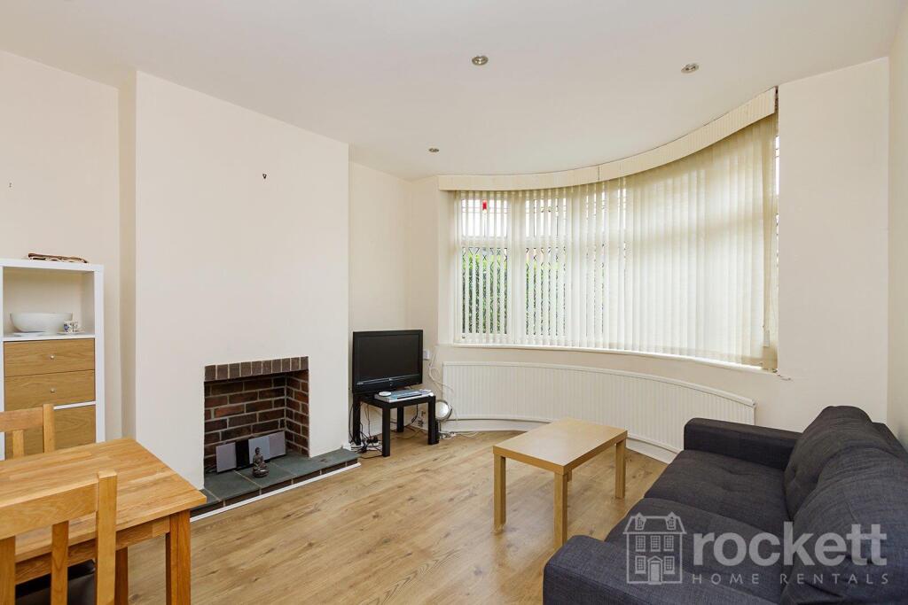
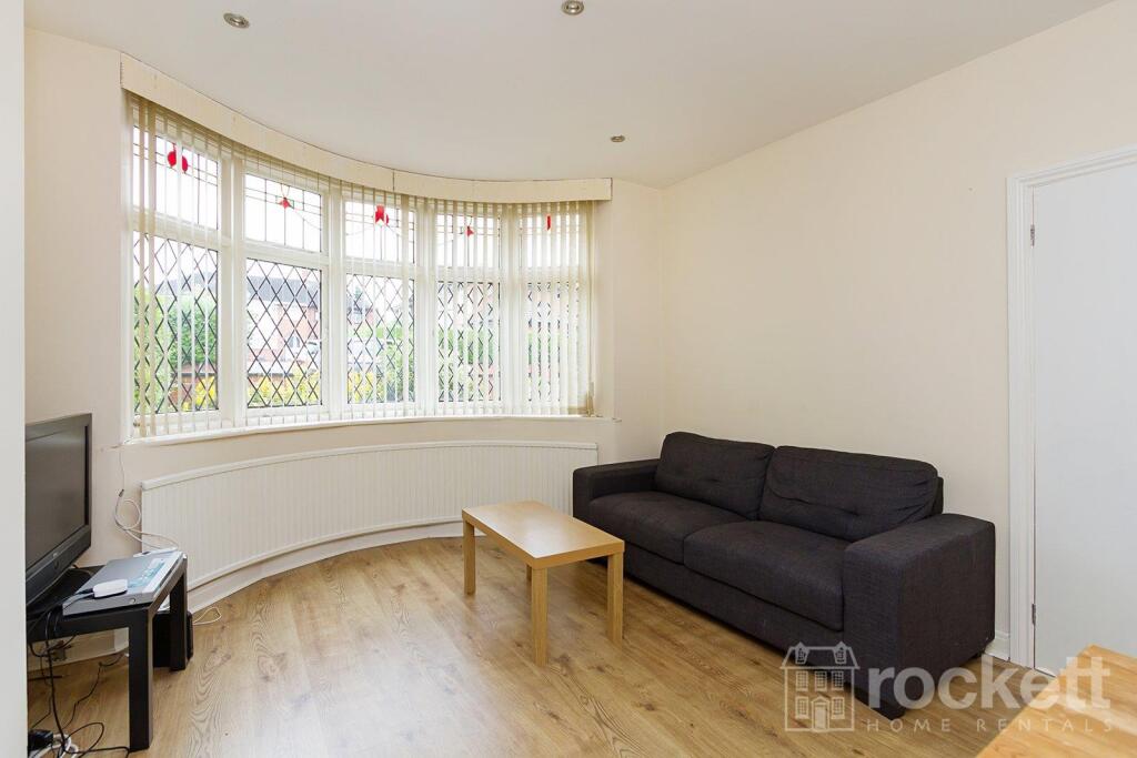
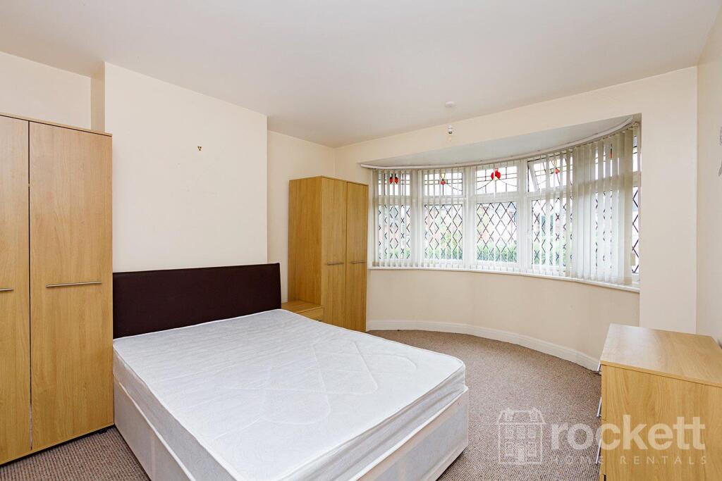
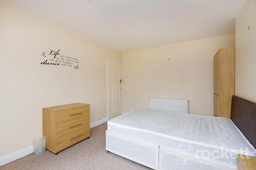
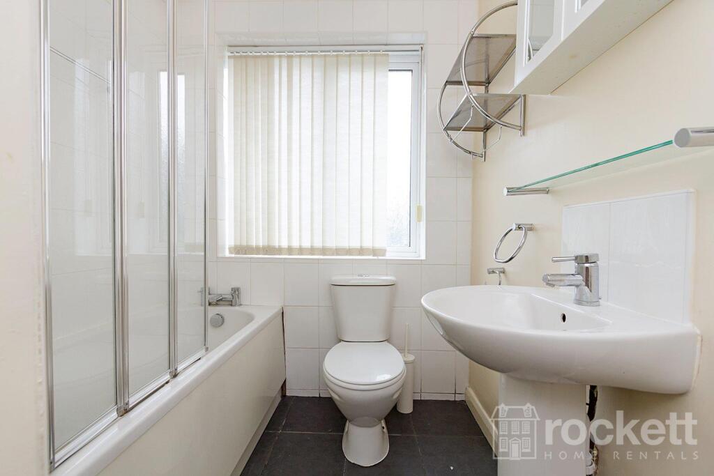
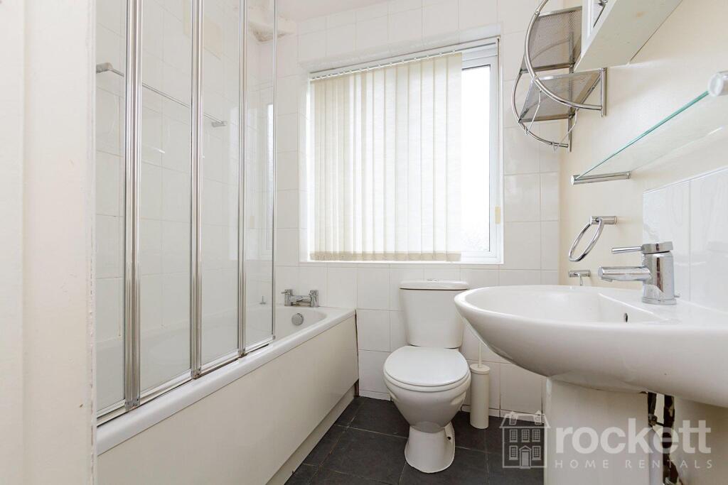
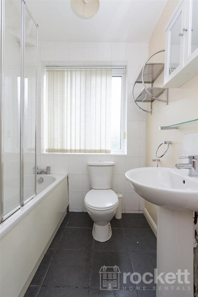
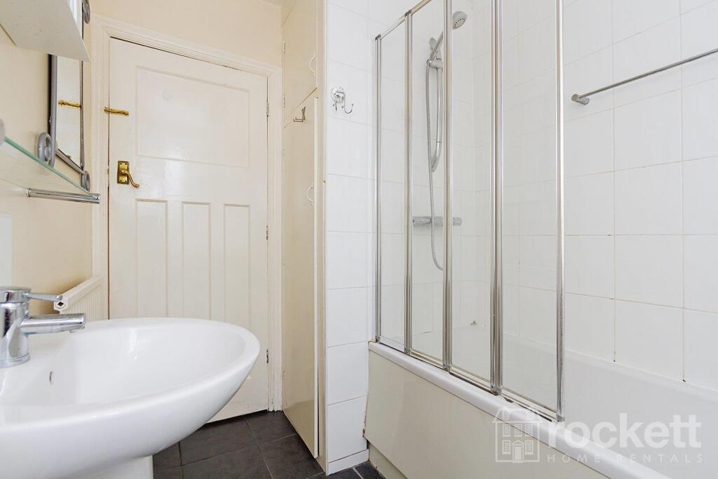
Description
This property is managed by the landlord.
We have created a brochure for you full of lots of information on the property:
Listed by
Wolstanton
Rockett Home Rentals Ltd
Reference: 88756224
EPC ratings on this postcode
We don't have a matched EPC for this property yet. Below are efficiency scores and details for other addresses on this postcode.
| Address | Current | Potential | Floor area | Age band | Type |
|---|---|---|---|---|---|
| 31, Ashlands Road, STOKE-ON-TRENT | 38 | 80 | 129 m² | England and Wales: 1950-1966 | Detached |
| 35 Ashlands Road, STOKE-ON-TRENT | 72 | 84 | 91 m² | England and Wales: 1930-1949 | Detached |
| 37 Ashlands Road, STOKE-ON-TRENT | 65 | 83 | 80 m² | England and Wales: 1930-1949 | Detached |
| 39 Ashlands Road, STOKE-ON-TRENT | 81 | 84 | 85 m² | England and Wales: 1930-1949 | Detached |
| 39 Ashlands Road, STOKE-ON-TRENT | 68 | 81 | 104 m² | England and Wales: 1930-1949 | Detached |
| 41 Ashlands Road, STOKE-ON-TRENT | 69 | 84 | 90 m² | England and Wales: 1930-1949 | Detached |
| 43, Ashlands Road, STOKE-ON-TRENT | 60 | 84 | 99 m² | England and Wales: 1930-1949 | Detached |
| 61, Ashlands Road, STOKE-ON-TRENT | 67 | 84 | 72 m² | England and Wales: 1950-1966 | Detached |
| 63, Ashlands Road, STOKE-ON-TRENT | 53 | 85 | 71 m² | England and Wales: 1930-1949 | Detached |
| 63, Ashlands Road, STOKE-ON-TRENT | 46 | 85 | 73 m² | England and Wales: 1930-1949 | Detached |
| 65, Ashlands Road, STOKE-ON-TRENT | 57 | 85 | 70 m² | England and Wales: 1930-1949 | Detached |
| 75, Ashlands Road, STOKE-ON-TRENT | 60 | 80 | 104 m² | England and Wales: 1950-1966 | Detached |
| 77, Ashlands Road, STOKE-ON-TRENT | 65 | 80 | 86 m² | England and Wales: 1930-1949 | Detached |
| 79 Ashlands Road, STOKE-ON-TRENT | 70 | 84 | 109 m² | England and Wales: 1930-1949 | Detached |
| 79, Ashlands Road, STOKE-ON-TRENT | 73 | 84 | 100 m² | England and Wales: 1930-1949 | Detached |
Flood risk
Zone: 1
Risk: Low
Job (default Low)
EPC Graphs
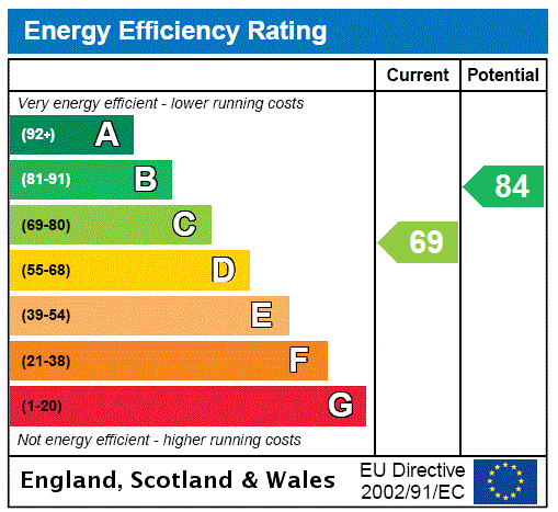
EPC Rating Graph
Rental Range
Estimated market rent for Stoke-on-Trent. Low = conservative, Realistic = average, Optimistic = best case.
Based on Local Authority from postcode lookup → Stoke-on-Trent.
LHA (30th percentile) floor for Staffordshire North: £593/mo (Apr 2025 – Mar 2026)
Location
Address
Ashlands Road
Nearby
Nearest stations, universities and amenities (distance from property).
| Type | Name | Distance |
|---|---|---|
| Bus stop | Hilton Road, Hospital Gates | 0.2 miles |
| Shop | Co-op Food | 0.2 miles |
| Bus stop | Hartshill Road, opposite Nelson Road | 0.2 miles |
| Hospital | Royal Stoke University Hospital | 0.3 miles |
| Shop | Quality Super Store | 0.3 miles |
| Train station | Stoke-on-Trent | 1.2 miles |
| Hospital | North Staffordshire Nuffield Hospital | 1.4 miles |
| Train station | Longport | 2.5 miles |
| University | Keele University | 2.6 miles |
| University | Buxton & Leek College | 10.4 miles |
Street-level crime
| Category | Count |
|---|---|
| Violence and sexual offences | 118 |
| Anti-social behaviour | 73 |
| Shoplifting | 43 |
| Public order | 42 |
| Criminal damage and arson | 31 |
| Drugs | 21 |
| Other theft | 18 |
| Burglary | 16 |
| Other crime | 10 |
| Possession of weapons | 8 |
| Vehicle crime | 8 |
| Robbery | 4 |
| Theft from the person | 4 |
| Bicycle theft | 1 |
| Total incidents | 397 |
Within 1 mile during Apr 2026. Source: data.police.uk (England & Wales).
Schools nearby
Nearest open schools with Ofsted ratings (England). Closed schools are not shown. Data from Get Information about Schools and Ofsted.
| Name | Type | Distance | Ofsted |
|---|---|---|---|
| Harpfield Primary Academy | Primary | 0.4 miles | Good — 10 Feb 2015 |
| St John's CofE (A) Primary School | Primary | 0.5 miles | Requires improvement — 14 Jun 2023 |
| Thistley Hough Academy | Secondary | 0.5 miles | Good — 26 Apr 2017 |
| Newcastle-under-Lyme School | Other | 0.5 miles | — (No rating) |
| The Willows Primary School | Primary | 0.5 miles | Good — 14 Dec 2010 |
Rental Comparables
Residential lets from OpenRent and Rightmove for the area (same bedroom count). Use to validate rent estimates. Student lets are excluded.
Average rent: £1,066/mo (18 listings)
Enter House Number
Enter the house number to help us retrieve more accurate pricing history and property data.
Please log in to submit or correct the house number for this listing.
Log in to continue