9 SANDRINGHAM ROAD
THORNTON HEATH, GREATER LONDON CR7 7AX
£1,300 pcm
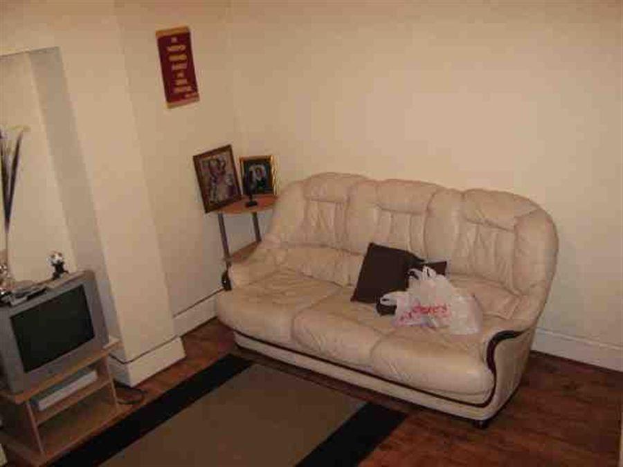
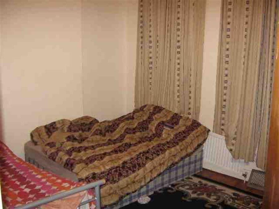
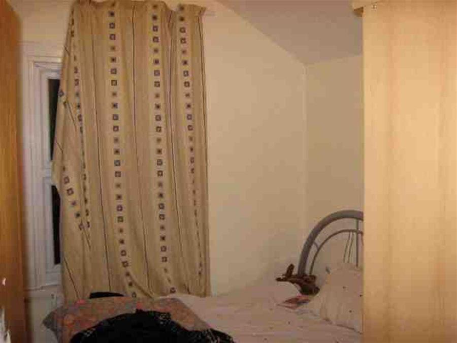
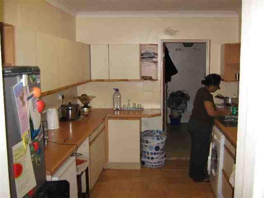

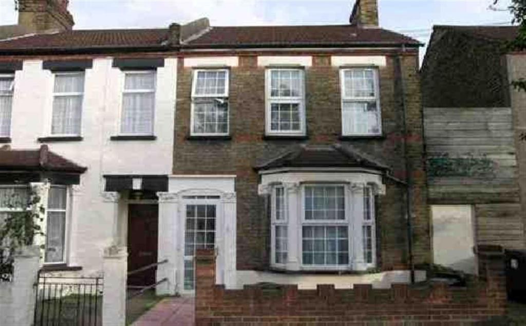
Photo 1 Photo 2 Photo 3 Photo 4 Photo 5 Photo 6
/ 6
Property details
Floor area
139 m²
EPC rating
D
Year built
England and Wales: 1900-1929
Deprivation
Decile 2 (6,461 of 33,755)
Street crime
923 incidents within 1 mile (Apr 2026)
Key features
- Fully double glazed
- Four bedrooms
- Viewing highly recommended
- Ideal family home
- Rear garden
- Gas central heating
- Close to local amenities
- Recently refurbished
Additional details
- Garden
- Yes
Description
Dimensions
Bedroom 1:
Bedroom 2:
Bedroom 3:
Bedroom 4:
Bedroom 5:
Bedroom 6:
Reception 1:
Kitchen:
double
1
double
1
double
1
standard
good
Listed by
Catford
Cornerstone
Reference: 20521270
EPC Rating & Upgrade Cost
Current rating: D
Potential rating: C
Inspection date: 25/11/2023
Expiry date: 24/11/2033
Current heating cost: £2,162/year
Potential heating cost: £1,567/year
Est. upgrade cost to C: £14,960
Recommendations
- 50 mm internal or external wall insulation (£4,000 - £14,000)
- Floor insulation (suspended floor) (£800 - £1,200)
- Low energy lighting for all fixed outlets (£60)
- Upgrade heating controls (£350 - £450)
- Solar photovoltaic panels, 2.5 kWp (£3,500 - £5,500)
Flood risk
Zone: 1
Risk: Low
Job (default Low)
Rental Range
Estimated market rent for Croydon. Low = conservative, Realistic = average, Optimistic = best case.
Based on Local Authority from postcode lookup → Croydon.
LHA (30th percentile) floor for Peterborough: £1,047/mo (Apr 2025 – Mar 2026)
Location
Nearby
Nearest stations, universities and amenities (distance from property).
| Type | Name | Distance |
|---|---|---|
| Shop | Aanjan Off Licence | 0.1 miles |
| Shop | Mayuran Mini Market | 0.2 miles |
| Bus stop | Pawsons Road | 0.2 miles |
| Train station | Selhurst | 0.4 miles |
| Train station | Thornton Heath | 0.4 miles |
| Hospital | Gynaecology Department | 0.5 miles |
| Hospital | Diabetic Department | 0.6 miles |
| University | Horton Halls Reception | 4.6 miles |
| University | University of Wales Trinity Saint David London Campus | 6.0 miles |
Street-level crime
| Category | Count |
|---|---|
| Violence and sexual offences | 296 |
| Anti-social behaviour | 200 |
| Vehicle crime | 92 |
| Other theft | 50 |
| Criminal damage and arson | 49 |
| Drugs | 47 |
| Public order | 43 |
| Shoplifting | 38 |
| Burglary | 32 |
| Robbery | 24 |
| Theft from the person | 23 |
| Other crime | 13 |
| Possession of weapons | 11 |
| Bicycle theft | 5 |
| Total incidents | 923 |
Within 1 mile during Apr 2026. Source: data.police.uk (England & Wales).
Schools nearby
Nearest open schools with Ofsted ratings (England). Closed schools are not shown. Data from Get Information about Schools and Ofsted.
| Name | Type | Distance | Ofsted |
|---|---|---|---|
| Ecclesbourne Primary School | Primary | 0.2 miles | Good — 2 Jul 2023 |
| Bensham Manor School | Other | 0.2 miles | Outstanding — 3 Jul 2024 |
| Thornton Heath Nursery School | Nursery | 0.3 miles | Good — 27 Nov 2023 |
| BRIT School for Performing Arts and Technology | Other | 0.3 miles | — (Inspected (no overall grade)) |
| Aya College (Educational Provision) | Other | 0.3 miles | Requires improvement — 29 Jun 2022 |
Rental Comparables
Rental comparables are temporarily unavailable while listing-site fetches are paused. Try again later.