3 ASH GROVE
LONDON, LONDON, GREATER LONDON SE20 7RD
£1,300 pcm
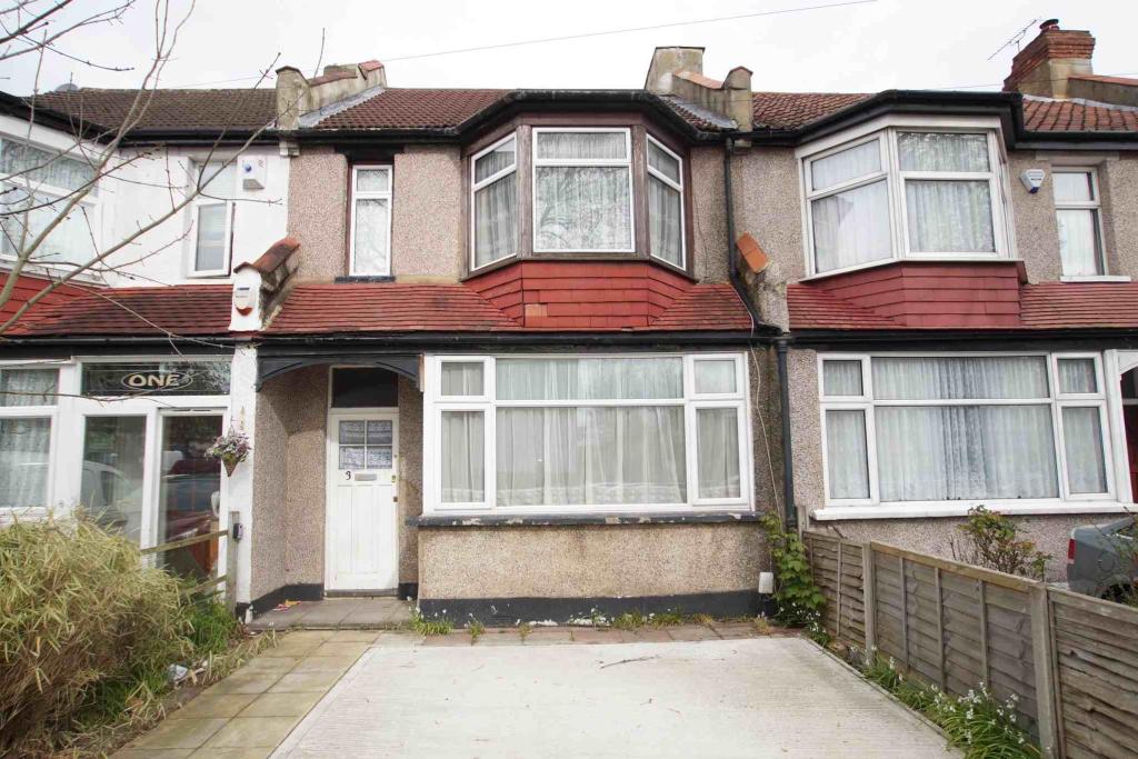
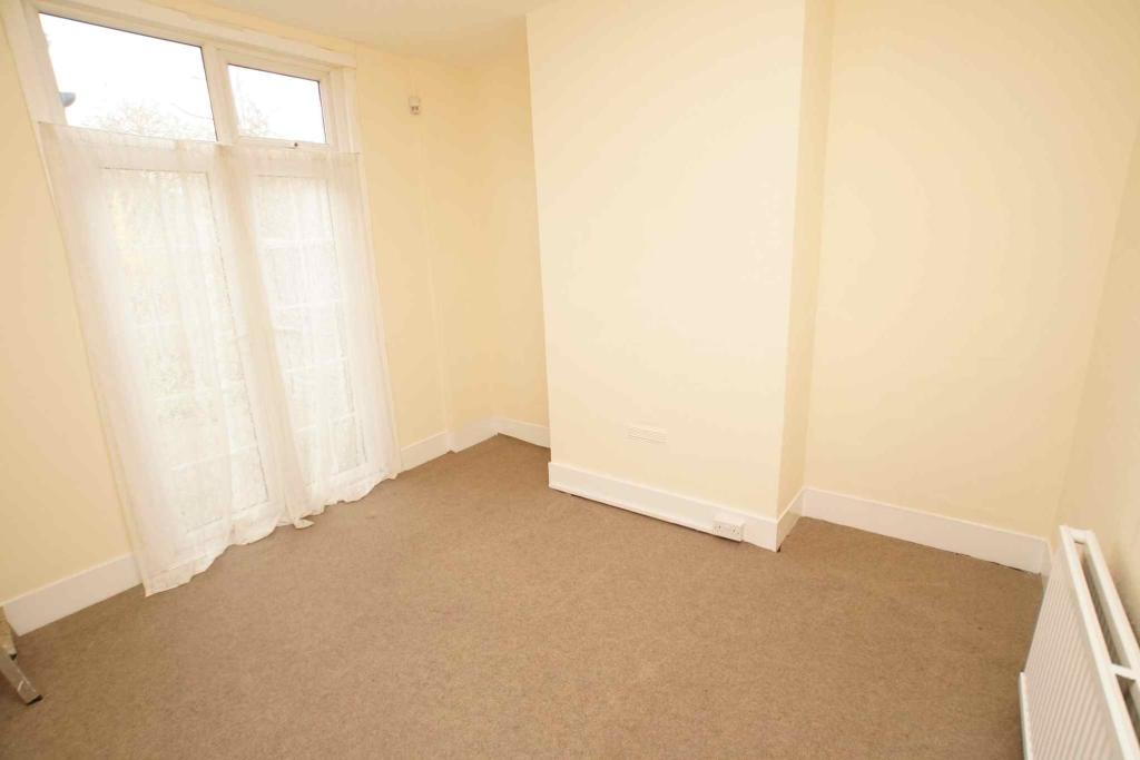
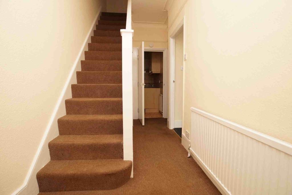
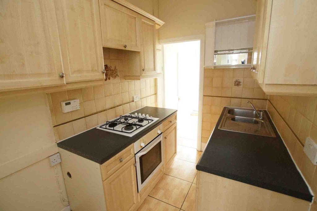
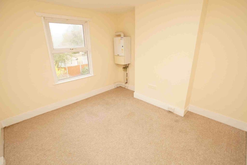
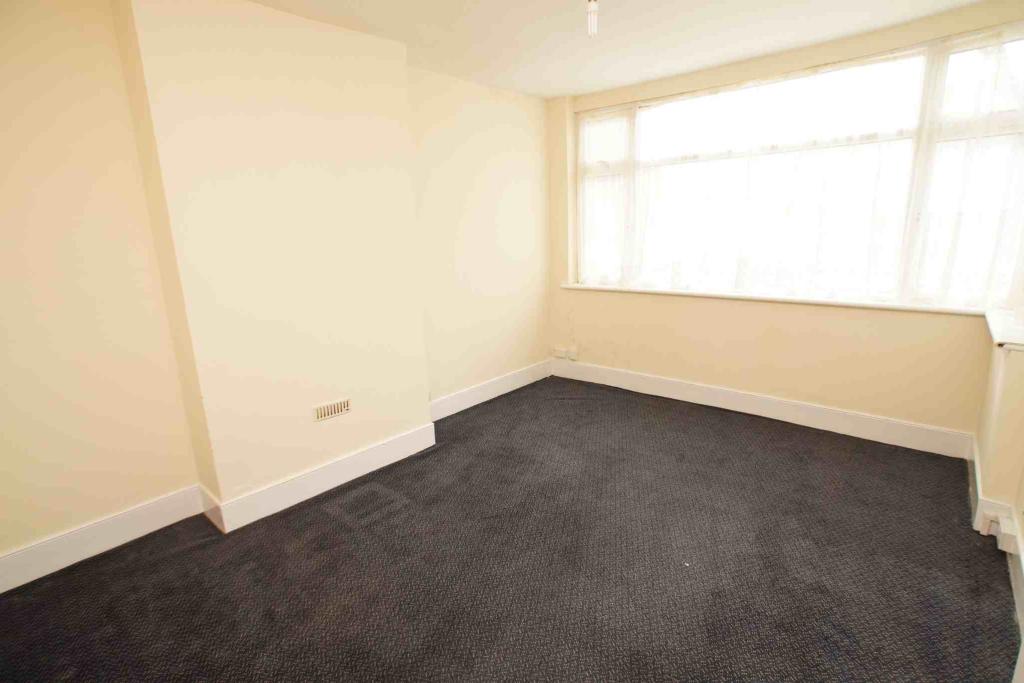
Photo 1 Photo 2 Photo 3 Photo 4 Photo 5 Photo 6
/ 6
Property details
Floor area
129 m²
Year built
England and Wales: 1900-1929
Deprivation
Decile 5 (15,477 of 33,755)
Street crime
474 incidents within 1 mile (Apr 2026)
Key features
- Three bedroom house
- Mid terrace 1930s
- Off street parking for 2 cars
- Attractive rear garden
- Two reception rooms
- Double glazed & gas central heating
- Good order
- Offered UNFURNISHED
- Available NOW
- EPC rating is c, fees apply
Additional details
- Parking
- Yes
- Garden
- Yes
Description
Listed by
London - Lettings
Property World
Reference: 53735824
EPC Rating & Upgrade Cost
Fetching EPC data… Refresh this page in a moment.
Flood risk
Zone: 1
Risk: Low
Job (default Low)
Rental Range
Estimated market rent for Bromley. Low = conservative, Realistic = average, Optimistic = best case.
Based on Local Authority from postcode lookup → Bromley.
LHA (30th percentile) floor for Cambridge: £1,122/mo (Apr 2025 – Mar 2026)
Location
Nearby
Nearest stations, universities and amenities (distance from property).
| Type | Name | Distance |
|---|---|---|
| Bus stop | Ash Grove | 0.0 miles |
| Shop | The Co-operative Food | 0.1 miles |
| Shop | Co-operative | 0.1 miles |
| Train station | Birkbeck | 0.2 miles |
| Train station | Anerley | 0.6 miles |
| Hospital | Sloane Hospital | 2.3 miles |
| Hospital | British Home & Hospital for Incurables | 2.4 miles |
| University | University of Wales Trinity Saint David London Campus | 5.5 miles |
| University | Horton Halls Reception | 5.6 miles |
Street-level crime
| Category | Count |
|---|---|
| Anti-social behaviour | 118 |
| Violence and sexual offences | 112 |
| Vehicle crime | 65 |
| Shoplifting | 36 |
| Criminal damage and arson | 31 |
| Other theft | 29 |
| Public order | 23 |
| Drugs | 18 |
| Burglary | 12 |
| Theft from the person | 11 |
| Robbery | 7 |
| Other crime | 5 |
| Bicycle theft | 4 |
| Possession of weapons | 3 |
| Total incidents | 474 |
Within 1 mile during Apr 2026. Source: data.police.uk (England & Wales).
Schools nearby
Nearest open schools with Ofsted ratings (England). Closed schools are not shown. Data from Get Information about Schools and Ofsted.
| Name | Type | Distance | Ofsted |
|---|---|---|---|
| Stewart Fleming Primary School | Primary | 0.2 miles | Outstanding — 7 Sep 2016 |
| St Anthony's Catholic Primary School | Primary | 0.2 miles | Good — 18 Apr 2016 |
| Churchfields Primary School | Primary | 0.5 miles | Good — 21 Nov 2023 |
| Harris Primary Academy Kent House | Primary | 0.5 miles | Outstanding — 7 Jun 2016 |
| St John's Church of England Primary School | Primary | 0.6 miles | — (Inspected (no overall grade)) |
Rental Comparables
Rental listings exist nearby, but none matched the 3-bedroom count for this property.