Holton Lodge
STATION ROAD, GRIMSBY, HOLTON LE CLAY, LINCOLNSHIRE DN36 5HR
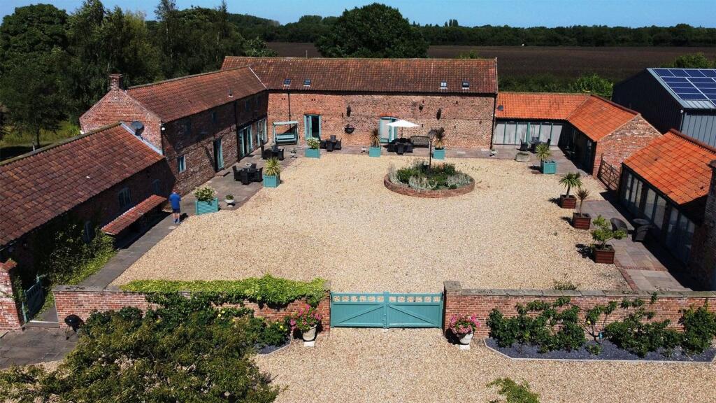
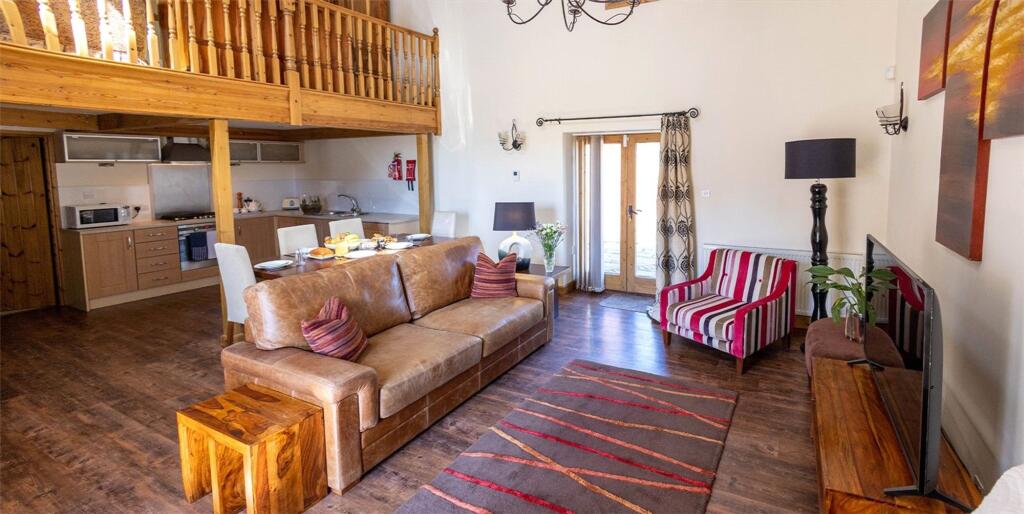
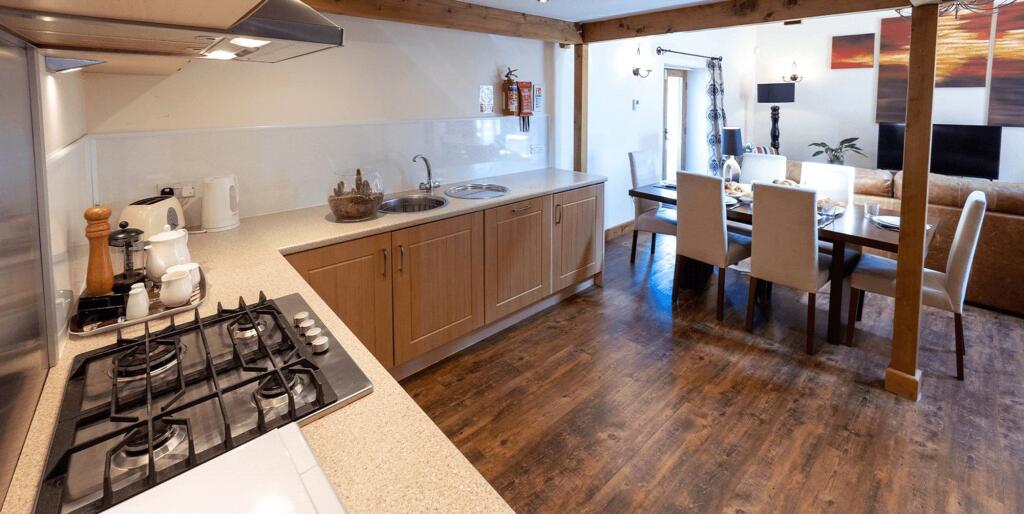
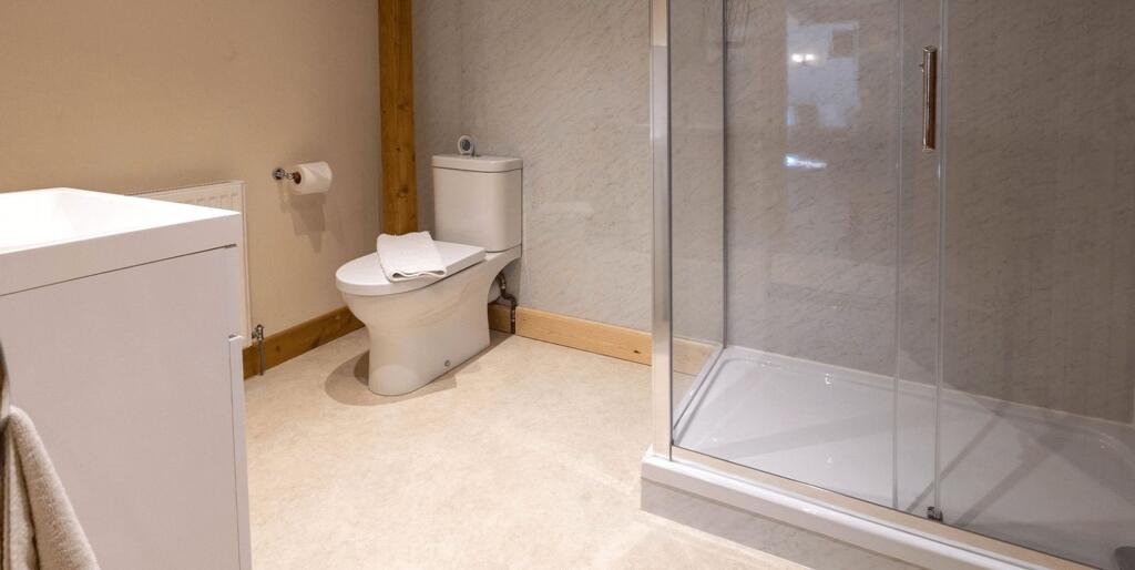
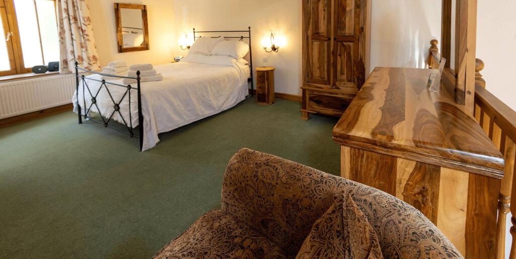
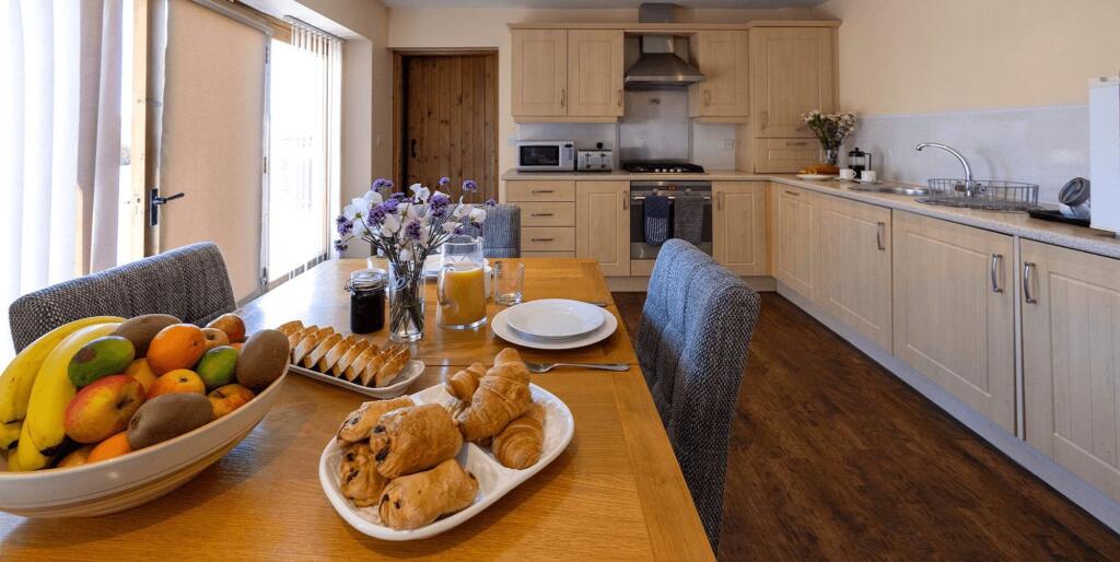
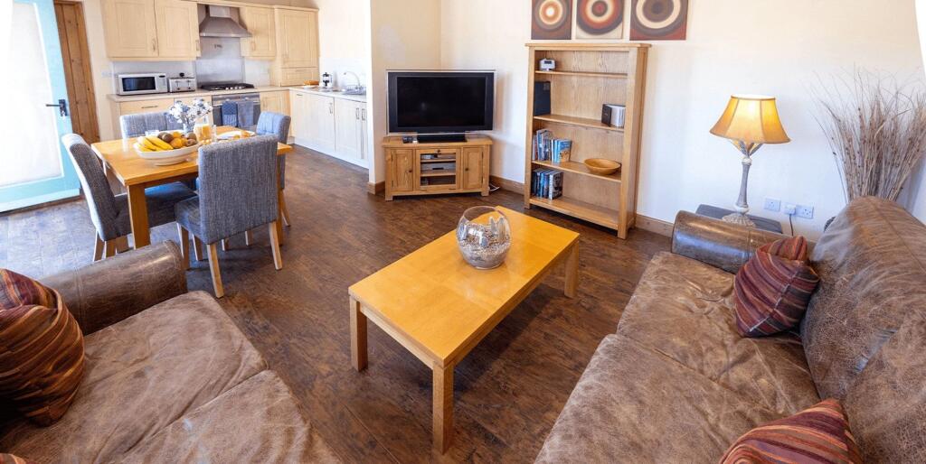
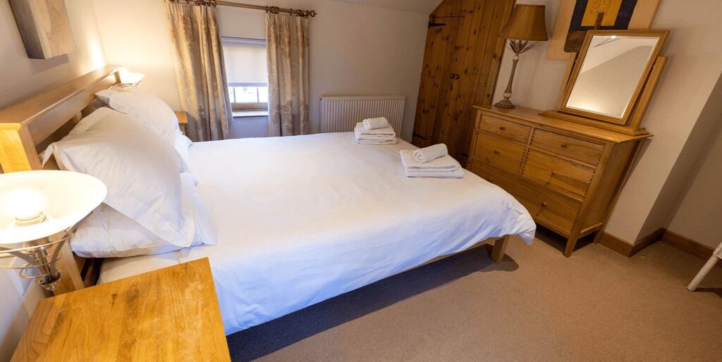
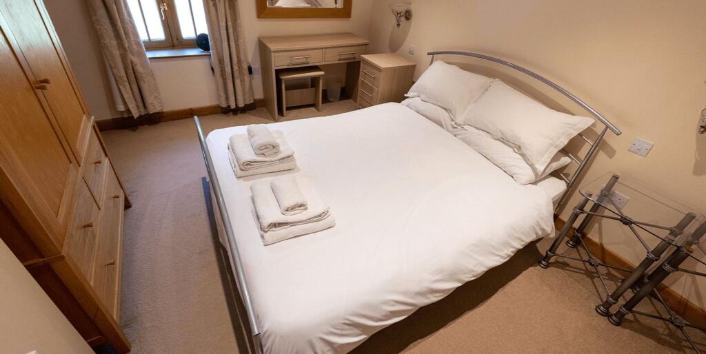
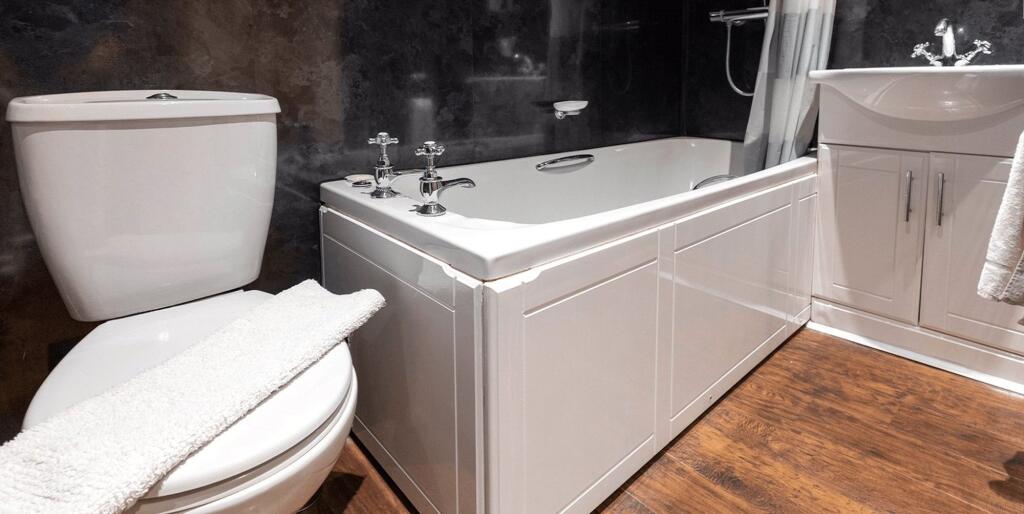
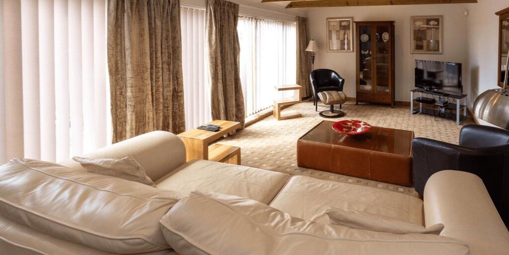
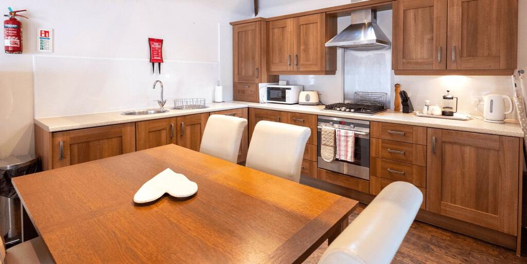
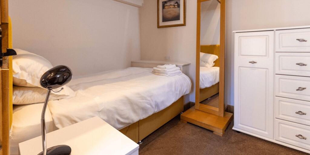
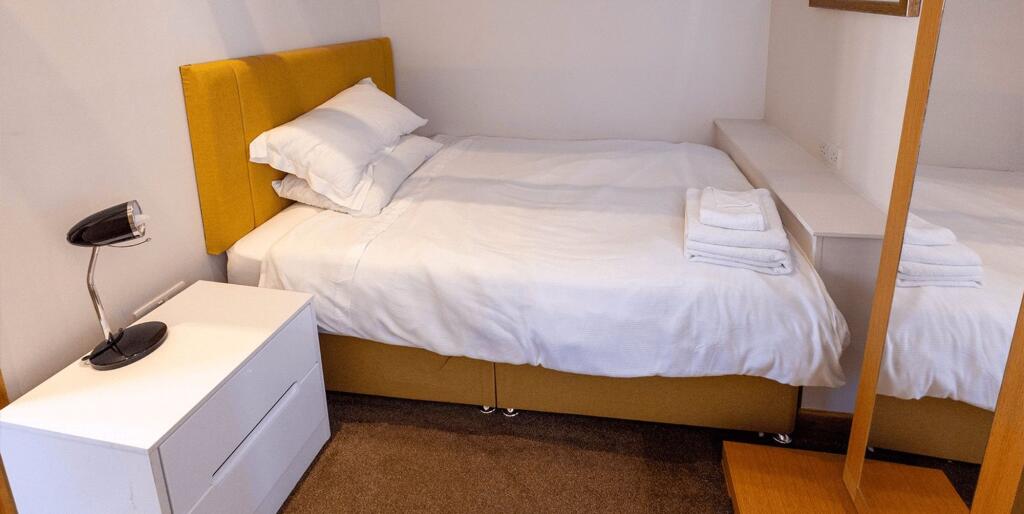
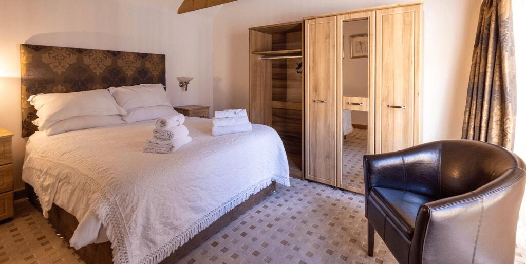
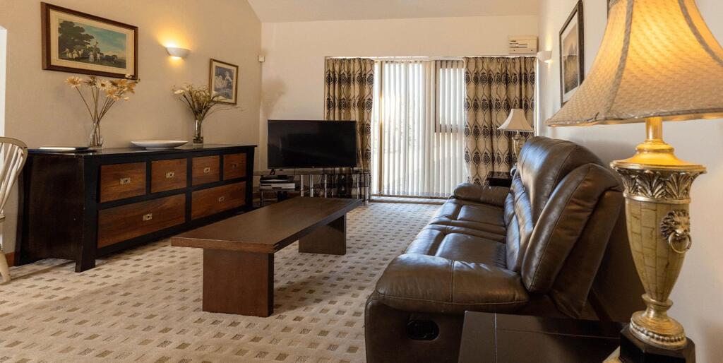
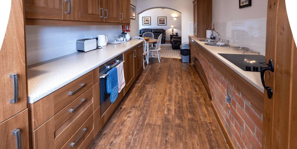
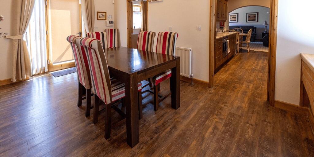
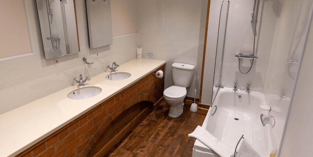
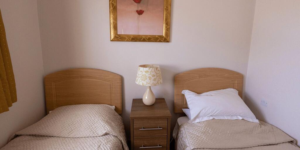
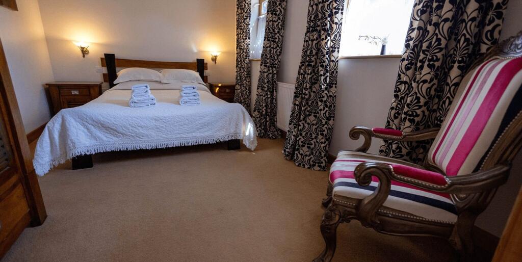
Main Photo Barn/Granary Living Barn/Granary Kitchen Barn/Granary Shower Barn/Granary Bedroom Hayloft Kitchen Hayloft Living Hayloft Bedroom 1 Hayloft Bedroom 2 Hayloft Bathroom The Lodge Livingroom The Lodge Kitchen The Lodge Bedroom 1 The Lodge Bedroom 2 The Lodge Bedroom 3 The Stables Living The Stables Kitchen The Stables Dining The Stables Bathroom The Stables Bed 1 The Stables Bed 2
/ 21
Property details
Floor area
387 m²
Deprivation
Decile 6 (19,034 of 33,755)
Street crime
7 incidents within 1 mile (Aug 2026)
Additional details
- Parking
- Yes
- Listed property
- No
- Restrictions
- No
- Required access
- No
- Rights of way
- No
- Flooded in last 5 years
- No
- Flood defences
- No
Description
Listed by
Grimsby
JACKSON, GREEN AND PRESTON ESTATE AGENTS AND PROPERTY MANAGEMENT LIMITED
Reference: 93289731
EPC ratings on this postcode
We don't have a matched EPC for this property yet. Below are efficiency scores and details for other addresses on this postcode.
| Address | Current | Potential | Floor area | Age band | Type |
|---|---|---|---|---|---|
| Holton Lodge, Station Road, Holton-le-Clay, GRIMSBY | 61 | 79 | 387 m² | England and Wales: before 1900 | Detached |
Flood risk
Zone: 1
Risk: Low
Job (default Low)
Registered land (INSPIRE)
This location falls inside an HM Land Registry INSPIRE registered freehold polygon.
Plot: ~45,997 m² (11.37 acres)
Source: HM Land Registry INSPIRE Index Polygons.
Rental Range
Estimated market rent for East Lindsey. Low = conservative, Realistic = average, Optimistic = best case.
Based on Local Authority from postcode lookup → East Lindsey.
LHA (30th percentile) floor for Grimsby: £394/mo (Apr 2025 – Mar 2026)
Location
Nearby
Nearest stations, universities and amenities (distance from property).
| Type | Name | Distance |
|---|---|---|
| Bus stop | Surgery | 0.4 miles |
| Shop | Lincolnshire Co-op | 0.8 miles |
| Shop | Morrisons Daily | 0.9 miles |
| Train station | North Thoresby | 2.0 miles |
| Train station | Ludborough | 3.6 miles |
| Hospital | St Hughs | 4.0 miles |
| Hospital | Harrison House | 4.0 miles |
| University | University Centre (University of Hull) | 4.3 miles |
| University | University Centre Grimsby | 4.3 miles |
Street-level crime
| Category | Count |
|---|---|
| Violence and sexual offences | 3 |
| Anti-social behaviour | 2 |
| Criminal damage and arson | 1 |
| Other theft | 1 |
| Total incidents | 7 |
Within 1 mile during Aug 2026. Source: data.police.uk (England & Wales).
Schools nearby
Nearest open schools with Ofsted ratings (England). Closed schools are not shown. Data from Get Information about Schools and Ofsted.
| Name | Type | Distance | Ofsted |
|---|---|---|---|
| Holton-le-Clay Junior School | Primary | 0.8 miles | Good — 30 Jun 2024 |
| Holton Le Clay Infant School | Primary | 0.9 miles | Good — 9 Jun 2024 |
| Tetney Primary School | Primary | 1.7 miles | Good — 27 Nov 2018 |
| North Thoresby Primary Academy | Primary | 1.9 miles | Good — 18 Dec 2012 |
| Enfield Academy of New Waltham | Primary | 2.0 miles | Good — 19 Jun 2014 |
Rental Comparables
Residential lets from OpenRent and Rightmove for the area (same bedroom count). Use to validate rent estimates. Student lets are excluded.
| Title | Rent | Beds | Distance | As seen on |
|---|---|---|---|---|
| Station Road, Holton-Le-Clay, DN36 | £1,500/mo | 1 | 0 miles | Rightmove |
Average rent: £1,500/mo (1 listing)
Enter House Number
Enter the house number to help us retrieve more accurate pricing history and property data.
Please log in to submit or correct the house number for this listing.
Log in to continue