Brooklands
LAMPETER, BETTWS, CEREDIGION SA48 8NX
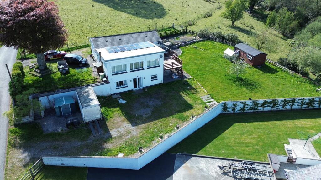
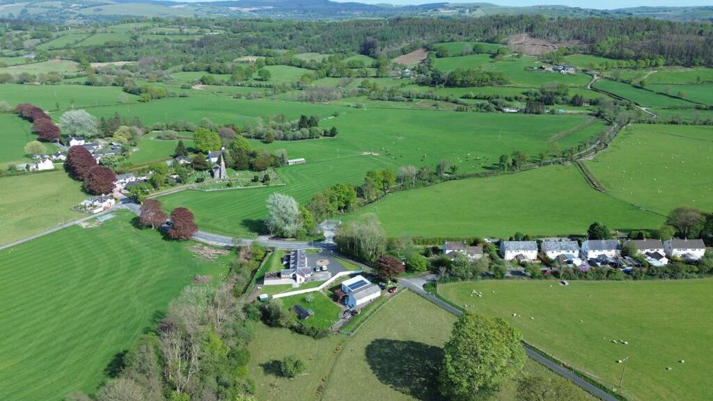
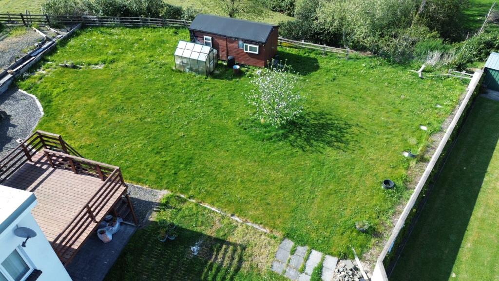
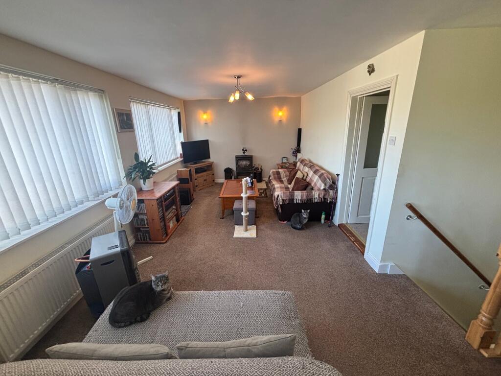
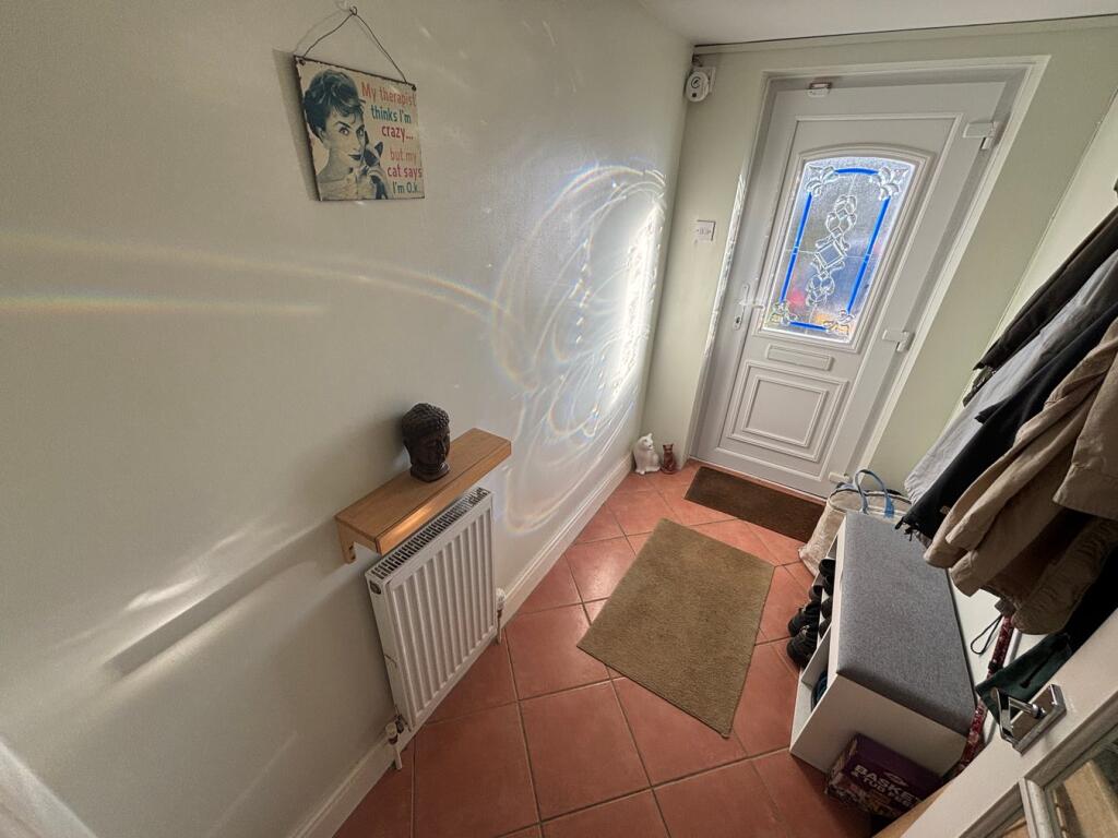
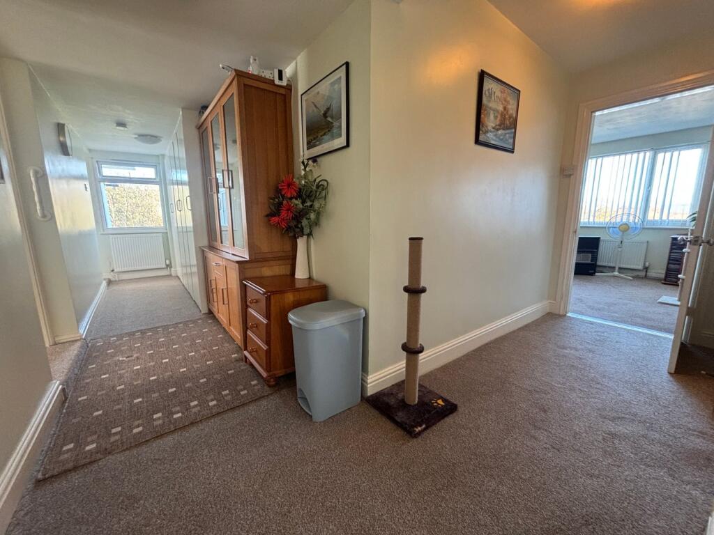
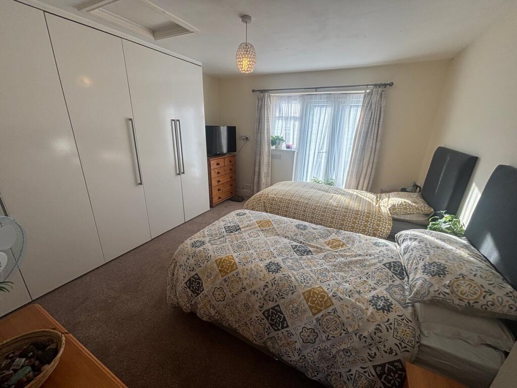
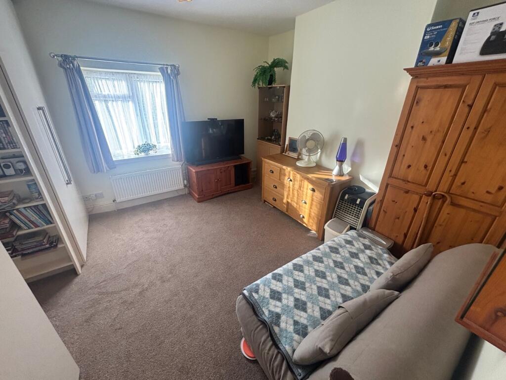
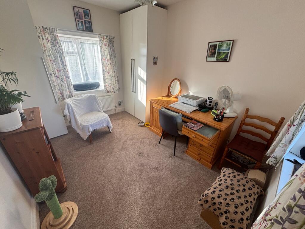
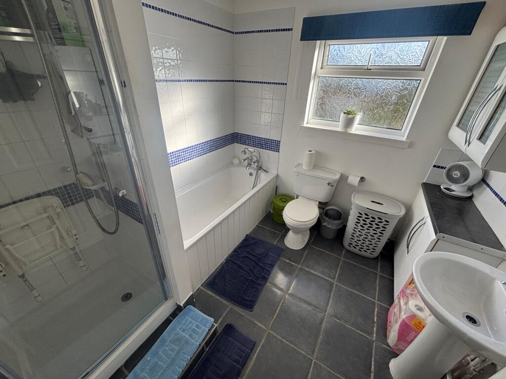
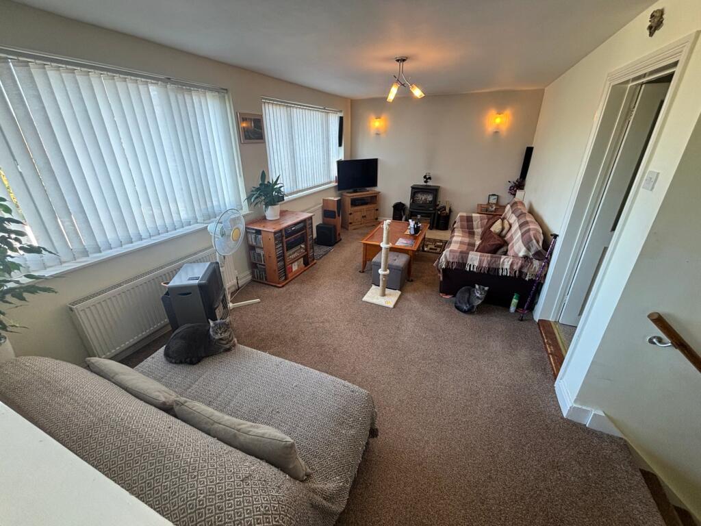
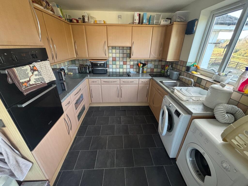
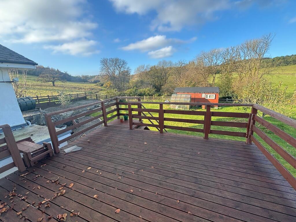
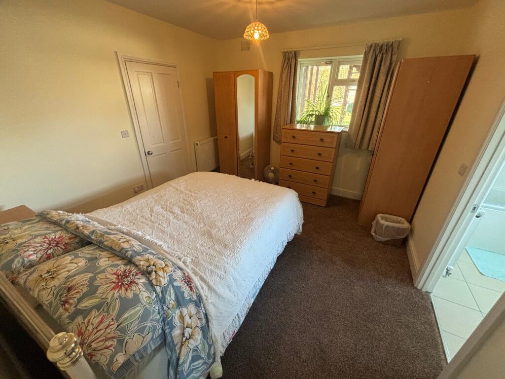
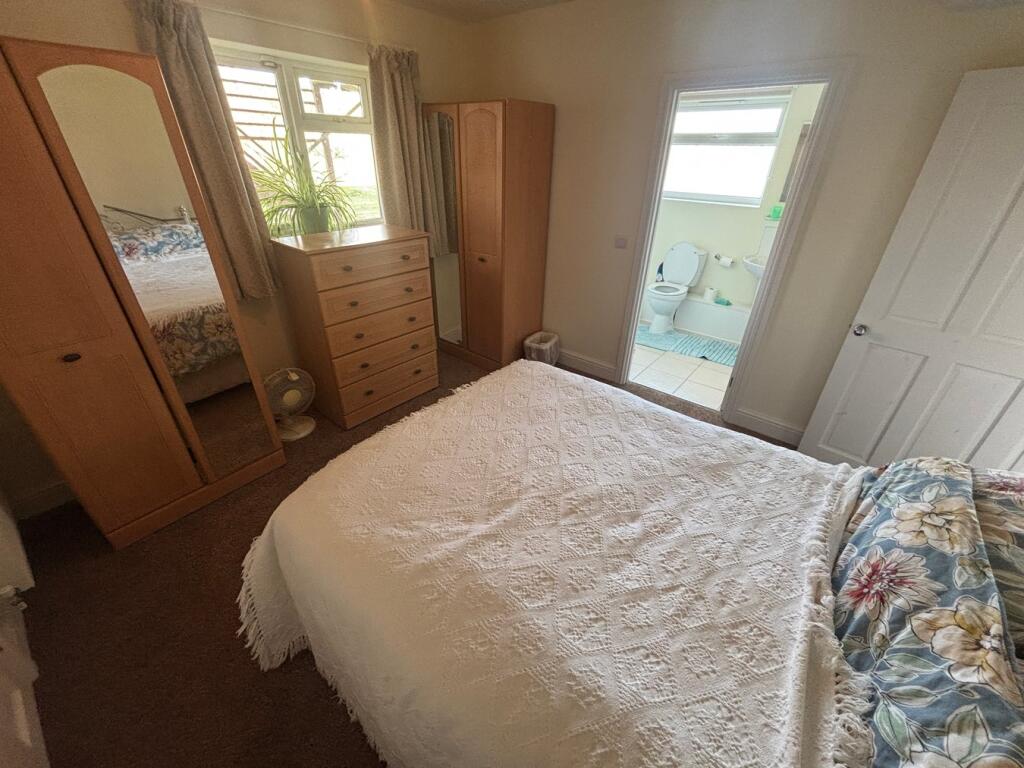
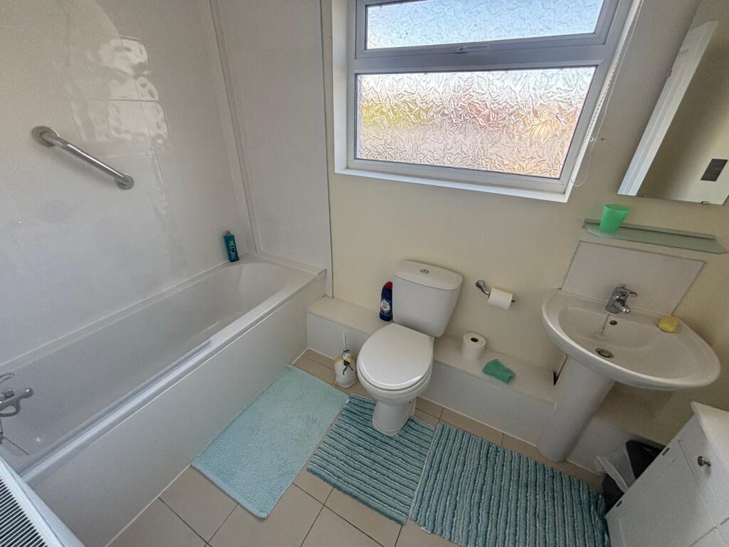
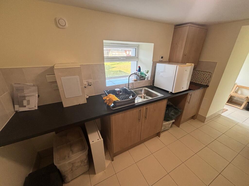
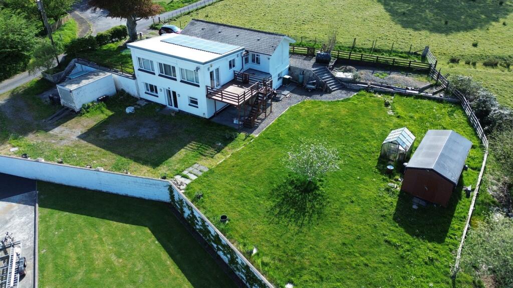
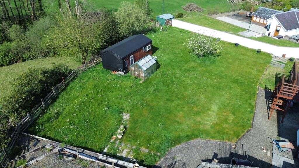
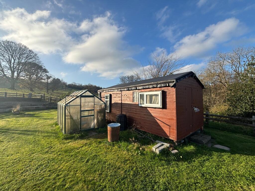
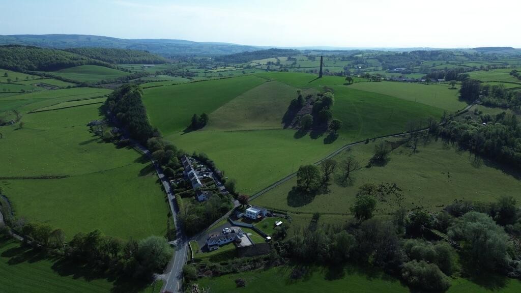
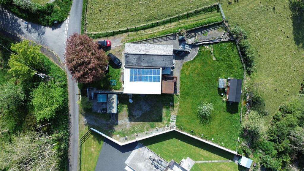
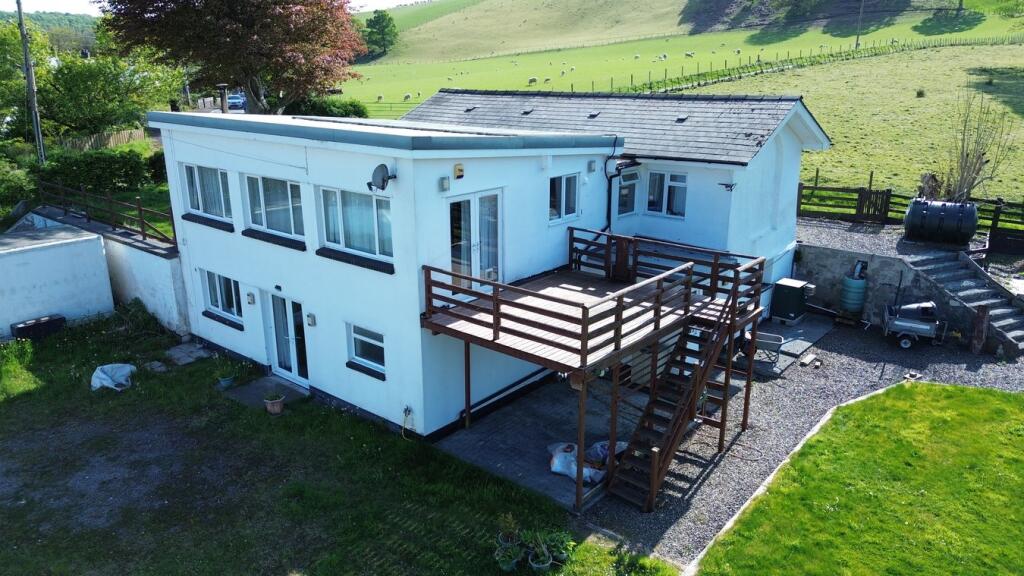
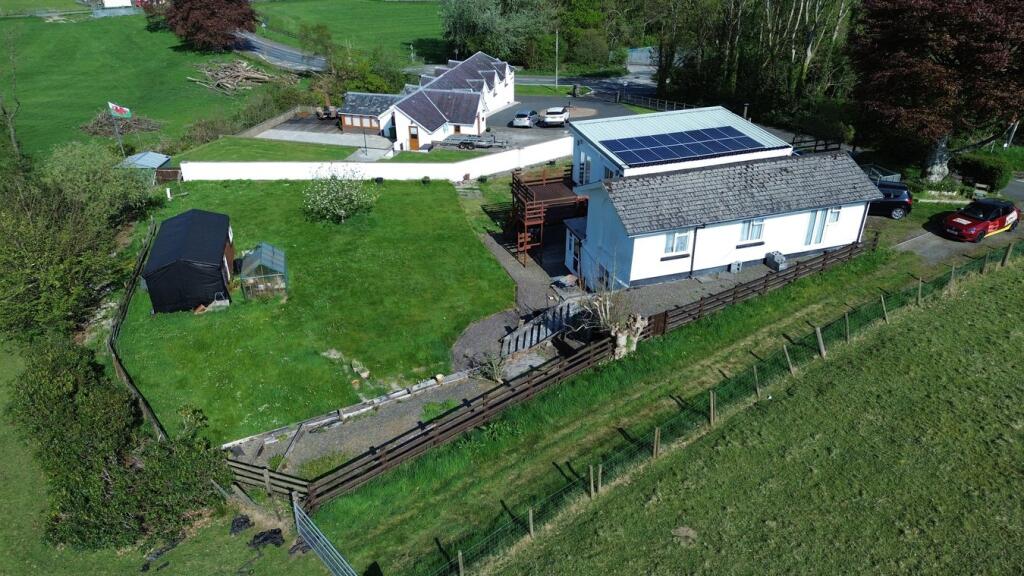
Photo 1 Photo 2 Photo 3 Photo 4 Photo 5 Photo 6 Photo 7 Photo 8 Photo 9 Photo 10 Photo 11 Photo 12 Photo 13 Photo 14 Photo 15 Photo 16 Photo 17 Photo 18 Photo 19 Photo 20 Photo 21 Photo 22 Photo 23 Photo 24 Photo 25 Photo 26 Photo 27
/ 27
Property details
Tenure
FREEHOLD
Floor area
211 m²
Council tax band
D
Last sold
£258,500 Mar 2026
Local average
£302,100 (-9%)
Street crime
0 incidents within 1 mile (Mar 2026)
Key features
- BETTWS BLEDRWS
- Contemporary detached country property
- One large Family home or potential annexe
- 4/5 bed accommodation
- Extensive level lawned garden
- Ample off road parking areas
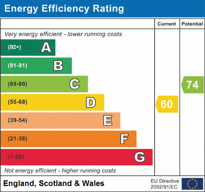
- E.P.C. Rating - D
Additional details
- Electricity
- Mains supply
- Broadband
- FTTC (fibre to the cabinet)
- Water
- Mains supply
- Sewerage
- Private supply
- Heating
- Oil
- Parking
- Private
- Garden
- Yes
- Listed property
- No
- Restrictions
- No
- Required access
- No
- Rights of way
- No
- Flooded in last 5 years
- Yes
- Flood defences
- Yes
- Source of flood
- Other
Description
* Breath taking views over the surrounding Dulais Valley * Extensive level garden laid to lawn - Being private and not overlooked * Ample off road parking areas
* 2 miles from the University Town of Lampeter and a 20 minute drive to the Cardigan Bay Coast * A country property with a great opportunity * A potential home with an income or large Family home * Contact us today to view
We are informed by the current Vendors that the property benefits from mains water, mains electricity, private drainage, oil fired central heating (external boiler), UPVC double glazing, privately owned solar panels, telephone subject to B.T. transfer regulations, Broadband subject to confirmation by your Provider.
Mobile Signal
4G data and voice
Construction Type**
Traditional
Listed by
Lampeter
Morgan & Davies
Reference: 161552465
EPC ratings on this postcode
We don't have a matched EPC for this property yet. Below are efficiency scores and details for other addresses on this postcode.
| Address | Current | Potential | Floor area | Age band | Type |
|---|---|---|---|---|---|
| 4, Broderi, Bettws, LAMPETER | 18 | 75 | 87 m² | England and Wales: 1950-1966 | Detached |
| 9, Broderi, Bettws, LAMPETER | 45 | 90 | 88 m² | England and Wales: 1950-1966 | Detached |
| Brooklands, Bettws, LAMPETER | 60 | 74 | 211 m² | England and Wales: before 1900 | Detached |
| Greenfield, Bettws, LAMPETER | 44 | 84 | 71 m² | England and Wales: before 1900 | Detached |
| Neuaddwen, Bettws, LAMPETER | 59 | 92 | 63 m² | England and Wales: before 1900 | Detached |
| New Hall, Bettws, LAMPETER | 62 | 79 | 102 m² | England and Wales: 1991-1995 | Detached |
| The Cottage, Bettws, LAMPETER | 1 | 113 | 63 m² | England and Wales: before 1900 | Detached |
Flood risk
Zone: 1
Risk: Low
Job (default Low)
EPC Graphs
EPC 1
Price history
29% since 2012
| Event | Date | Price | % change |
|---|---|---|---|
| Sold | 04/03/2026 (3 months ago) | £258,500 | +29.3% |
| Sold | 12/11/2012 (13 years ago) | £199,950 | — |
Source: HM Land Registry Price Paid Data. Crown copyright.
Sold Comparables
Same street and nearby sales within 0.25 miles (last 5 years). Data from Land Registry Price Paid.
| Address | Price | Date | Type |
|---|---|---|---|
| CHURCH COTTAGE, BETTWS, LAMPETER, CEREDIGION, SA48 8NX | £151,000 | 16/11/2022 | Detached |
| THE COTTAGE, BETTWS, LAMPETER, CEREDIGION, SA48 8NX | £250,000 | 26/09/2022 | Detached |
| CHURCH COTTAGE, BETTWS, LAMPETER, CEREDIGION, SA48 8NX | £90,000 | 05/09/2022 | Detached |
Area average: £163,667 (3 sales)
Capital growth trend
Land Registry outcode average: last 12 months vs 5y and 10y ago (from sold prices).
House Price Index (HM Land Registry — official index, not sold-price averages): Ceredigion. Series: Detached. As of March 2026.
Rental Range
Estimated market rent for Ceredigion. Low = conservative, Realistic = average, Optimistic = best case.
Based on Local Authority from postcode lookup → Ceredigion.
Location
Address
Llangybi, Betws Bledrws, Ceredigion, Wales, SA48 8PD, United Kingdom
Nearby
Nearest stations, universities and amenities (distance from property).
| Type | Name | Distance |
|---|---|---|
| Bus stop | Unknown | 0.1 miles |
| Shop | Cambrian Auto | 2.0 miles |
| Shop | Unknown | 2.1 miles |
| University | University of Wales, Trinity Saint David | 2.5 miles |
| Hospital | Lampeter Medical Practice | 2.6 miles |
| Hospital | Tregaron Hospital | 6.9 miles |
Street-level crime
| Category | Count |
|---|---|
| Total incidents | 0 |
Within 1 mile during Mar 2026. Source: data.police.uk (England & Wales).
Schools nearby
Nearest open schools with Ofsted ratings (England). Closed schools are not shown. Data from Get Information about Schools and Ofsted.
| Name | Type | Distance | Ofsted |
|---|---|---|---|
| Ysgol Y Dderi | Other | 0.8 miles | — (No rating) |
| Ysgol Carreg Hirfaen | Other | 3.1 miles | — (No rating) |
Rental Comparables
Loading rental comparables for this postcode. Refresh in a few minutes.
Rent-driven metrics
Based on Area rent estimate.
- Rent ratio — Monthly rent ÷ purchase price (1% rule). 1%+ = strong, 0.8–1% = okay, <0.8% = weak for cashflow.
- Max investor price — Rent ÷ 0.8%; the price at which rent would be 0.8% of price (Stoke-style target).
- Target investor price — Rent ÷ 1%; the price at which rent would be 1% of price (strong cashflow band).
- Gross yield — Annual rent as % of purchase price (no costs).
Enter House Number
Enter the house number to help us retrieve more accurate pricing history and property data.
Please log in to submit or correct the house number for this listing.
Log in to continue