44
PORTMAN TOWERS, GEORGE STREET, LONDON, LONDON, GREATER LONDON W1H 7HN
£4,485 pcm
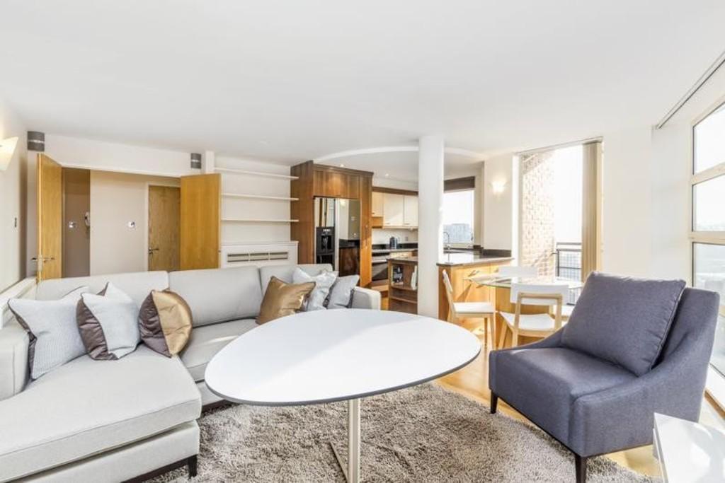
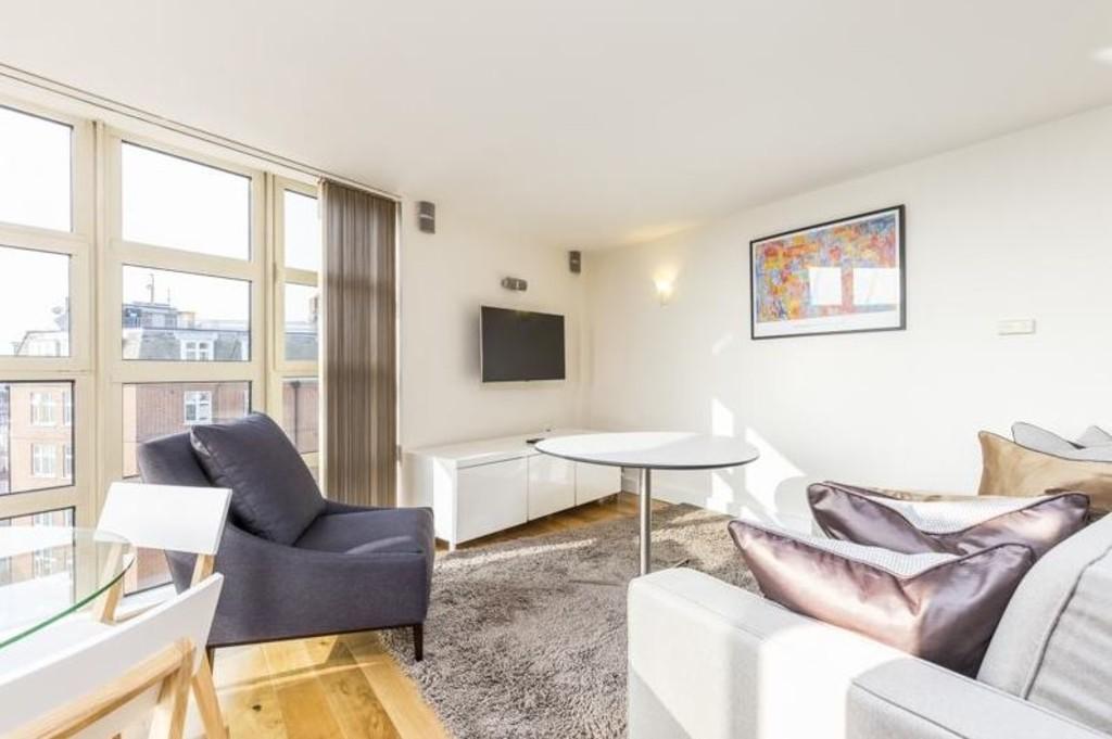
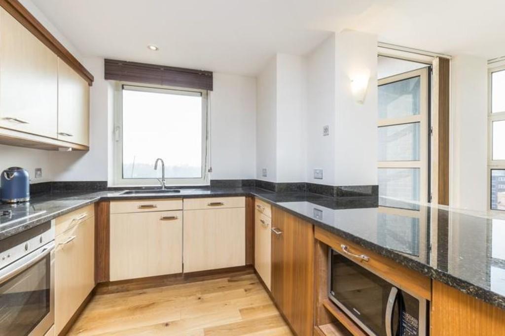
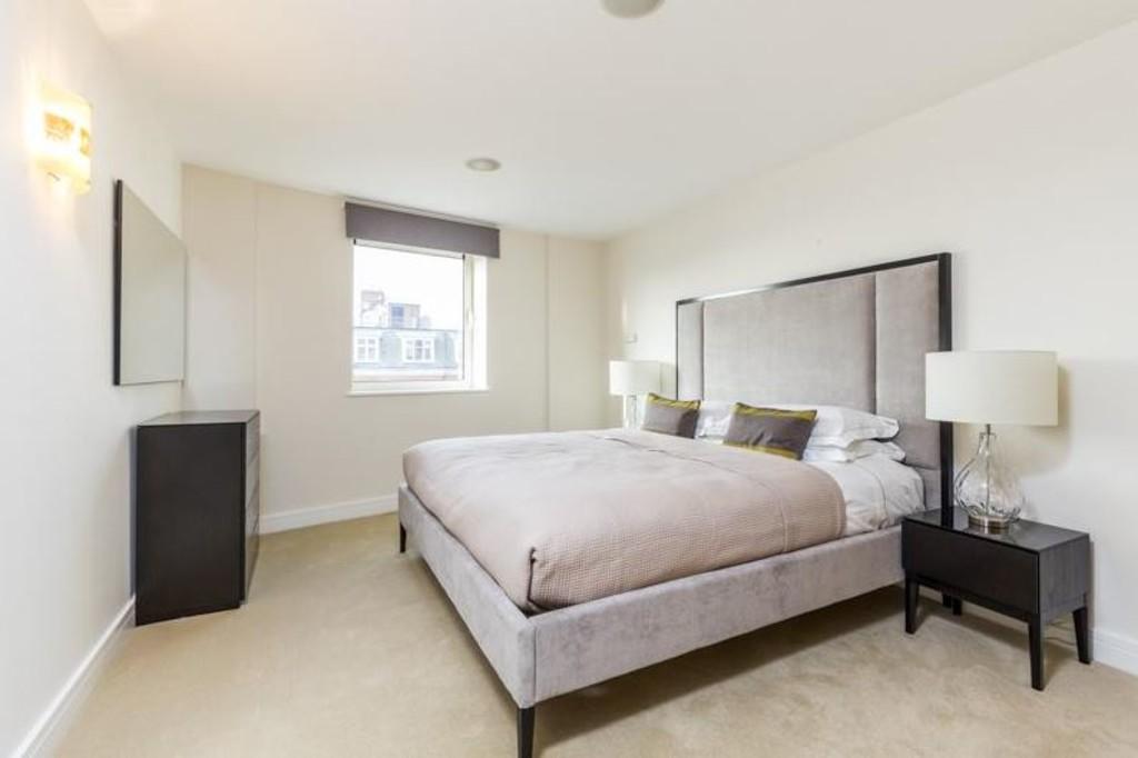
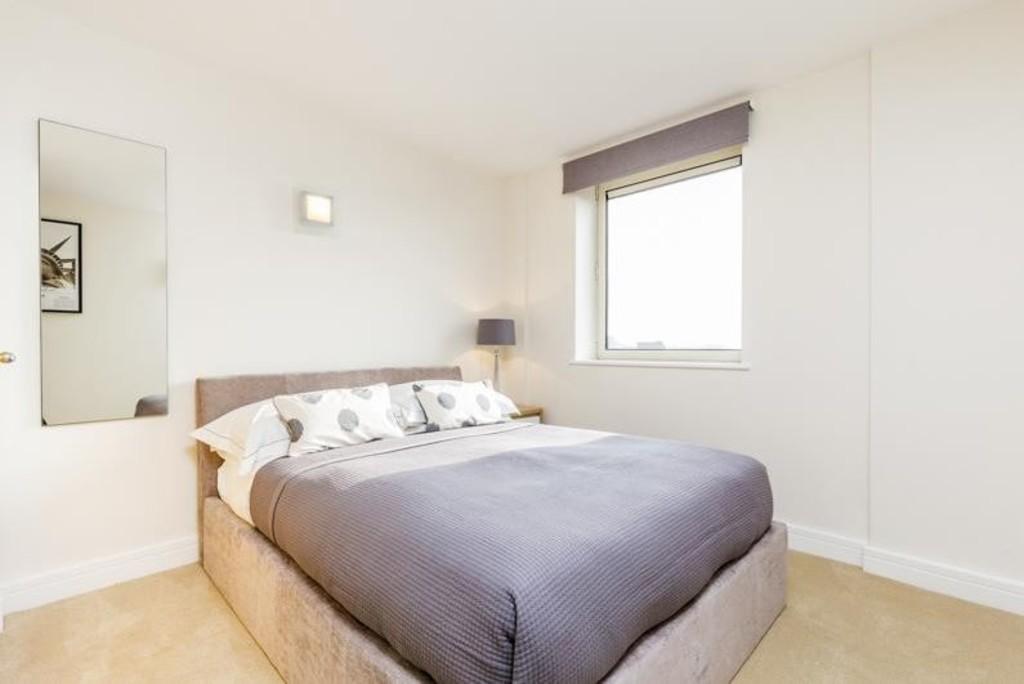
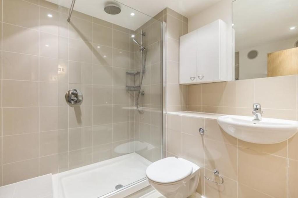
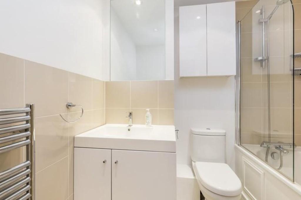
Photo 1 Photo 2 Photo 3 Photo 4 Photo 5 Photo 6 Photo 7
/ 7
Property details
Deprivation
Decile 7 (20,579 of 33,755)
Street crime
2936 incidents within 1 mile (Apr 2026)
Key features
- Stylish Interior
- Moments Away from Marylebone Station
- Bright Reception Room
- Lift Access
- Balcony Access
- Spacious Living Room and Dining Area
- Two Large Double Bedrooms
- Modern Development
- Portered Building
- Moments Away from Baker Street Station
Description
Located just minutes from Oxford Street shopping - home to the prestigious Selfridges, and just a short walk to various tube stations allowing easy access around London. Marble Arch - 6 minute walk (Central line) Marylebone - 9 minute walk (Rail services and Bakerloo line) Baker Street - 9 minute walk (Bakerloo, Circle, Hammersmith & City, Jubilee and Metropolitan line) Bond Street - 10 minute walk (Central and Jubilee line).
Listed by
London
Newington London Estates
Reference: 68889645
EPC Rating & Upgrade Cost
Fetching EPC data… Refresh this page in a moment.
Flood risk
Zone: 1
Risk: Low
Job (default Low)
Rental Range
Estimated market rent for Westminster. Low = conservative, Realistic = average, Optimistic = best case.
Based on Local Authority from postcode lookup → Westminster.
LHA (30th percentile) floor for Central London: £1,789/mo (Apr 2025 – Mar 2026)
Location
Address
Montagu Street
Nearby
Nearest stations, universities and amenities (distance from property).
| Type | Name | Distance |
|---|---|---|
| Bus stop | George Street | 0.0 miles |
| Shop | Back in Action | 0.1 miles |
| Shop | Nigel Rayment | 0.1 miles |
| Bus stop | Portman Square | 0.1 miles |
| Train station | Marble Arch | 0.2 miles |
| Train station | Baker Street | 0.4 miles |
| University | LBS Behaviour Lab | 0.6 miles |
| Hospital | The Portland Hospital | 0.7 miles |
| Hospital | National Hospital for Neurology and Neurosurgery at Cleveland Street | 0.9 miles |
| University | Department of Geography | 1.1 miles |
Street-level crime
| Category | Count |
|---|---|
| Theft from the person | 627 |
| Other theft | 502 |
| Shoplifting | 405 |
| Anti-social behaviour | 363 |
| Violence and sexual offences | 341 |
| Drugs | 208 |
| Burglary | 96 |
| Public order | 95 |
| Robbery | 91 |
| Vehicle crime | 77 |
| Criminal damage and arson | 56 |
| Bicycle theft | 37 |
| Other crime | 19 |
| Possession of weapons | 19 |
| Total incidents | 2936 |
Within 1 mile during Apr 2026. Source: data.police.uk (England & Wales).
Schools nearby
Nearest open schools with Ofsted ratings (England). Closed schools are not shown. Data from Get Information about Schools and Ofsted.
| Name | Type | Distance | Ofsted |
|---|---|---|---|
| Wetherby Preparatory School | Other | 0.1 miles | — (No rating) |
| Halcyon London International School | Other | 0.2 miles | Outstanding — 27 May 2020 |
| Sylvia Young Theatre School | Other | 0.2 miles | — (No rating) |
| ICS London | Other | 0.3 miles | — (No rating) |
| St Vincent's Catholic Primary School | Primary | 0.3 miles | Outstanding — 4 Feb 2024 |
Rental Comparables
Residential lets from OpenRent and Rightmove for the area (same bedroom count). Use to validate rent estimates. Student lets are excluded.
| Title | Rent | Beds | Distance | As seen on |
|---|---|---|---|---|
| 2 Bed Flat, Pool Meadow Close, B91 | £1,300/mo | 2 | 91.59 miles | OpenRent |
| 2 Bed Flat, Hampton Lane, B91 | £1,300/mo | 2 | 92.38 miles | OpenRent |
| 2 Bed Flat, Hampton Lane, B91 | £1,199/mo | 2 | 92.4 miles | OpenRent |
| 2 Bed Flat, Copper Beeches, B91 | £1,450/mo | 2 | 92.58 miles | OpenRent |
| 2 Bed Penthouse, Whitefriars, B91 | £1,500/mo | 2 | 92.63 miles | OpenRent |
| 2 Bed Flat, Union Road, B91 | £1,450/mo | 2 | 92.7 miles | OpenRent |
Average rent: £1,367/mo (6 listings)