100 ROSEHILL
WILLENHALL, WEST MIDLANDS WV13 2AU
£550 pcm
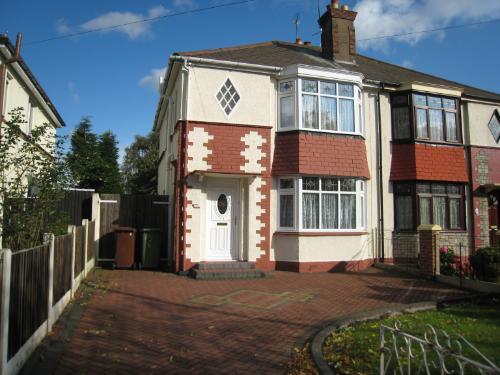
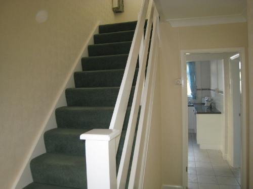
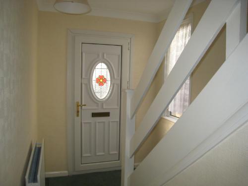
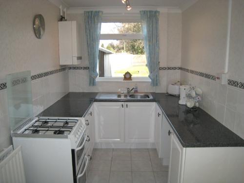
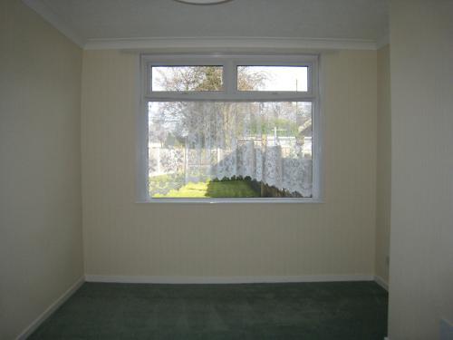
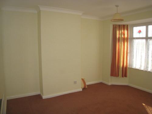
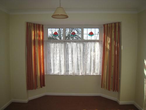
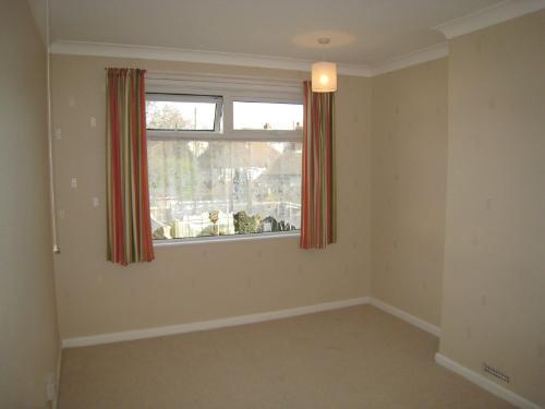

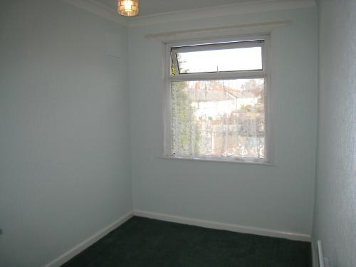
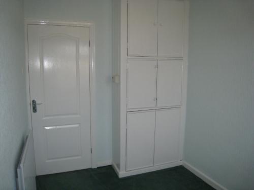

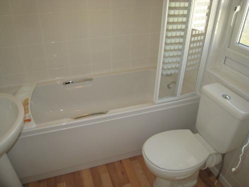
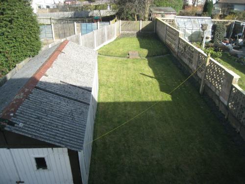
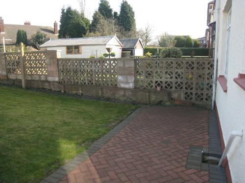
Photo 1 Photo 2 Photo 3 Photo 4 Photo 5 Photo 6 Photo 7 Photo 8 Photo 9 Photo 10 Photo 11 Photo 12 Photo 13 Photo 14 Photo 15 Photo 16 Photo 17 Photo 18 Photo 19
/ 19
Property details
Deprivation
Decile 2 (4,007 of 33,755)
Street crime
341 incidents within 1 mile (Apr 2026)
Key features
- Garden
- Parking
Additional details
- Parking
- Yes
- Garden
- Yes
Description
Listed by
Wolverhampton
Lawsons
Reference: 25089347
EPC Rating & Upgrade Cost
Fetching EPC data… Refresh this page in a moment.
Flood risk
Zone: 2
Risk: In flood risk area
Environment Agency Flood Risk Areas (APSFR)
FENSA Certificates
This property has 1 FENSA certificate(s) on record, indicating window/door installations by FENSA-approved installers.
FENSA Certificate #2036310
Property Details
Street: 100 Rosehill
Town: Willenhall
Postcode: WV13 2AU
Installation Details
Items: 3 windows and 1 door
Certificate Issued: 14/09/2004
Work Completed: 29/06/2004
This certificate data was retrieved from FENSA's database
What is FENSA? FENSA (Fenestration Self-Assessment Scheme) is a government-authorised scheme that monitors building regulation compliance for replacement windows and doors. Certificates indicate that work was completed by FENSA-approved installers.
Rental Range
Estimated market rent for Walsall. Low = conservative, Realistic = average, Optimistic = best case.
Based on Local Authority from postcode lookup → Walsall.
LHA (30th percentile) floor for Black Country: £748/mo (Apr 2025 – Mar 2026)
Location
Nearby
Nearest stations, universities and amenities (distance from property).
| Type | Name | Distance |
|---|---|---|
| Bus stop | Rose Hill / Tyler Rd | 0.0 miles |
| Train station | Willenhall | 0.2 miles |
| Shop | Scrivens | 0.3 miles |
| Shop | Superdrug | 0.4 miles |
| Train station | Darlaston | 1.4 miles |
| University | University of Wolverhampton Wulfruna Campus | 3.1 miles |
| University | University of Wolverhampton | 3.2 miles |
| Hospital | Bilston Street Surgery | 3.8 miles |
| Hospital | krishna pemmaraju | 5.0 miles |
Street-level crime
| Category | Count |
|---|---|
| Violence and sexual offences | 138 |
| Shoplifting | 51 |
| Vehicle crime | 32 |
| Criminal damage and arson | 29 |
| Other theft | 21 |
| Anti-social behaviour | 18 |
| Burglary | 16 |
| Public order | 9 |
| Other crime | 8 |
| Drugs | 7 |
| Possession of weapons | 5 |
| Robbery | 5 |
| Bicycle theft | 1 |
| Theft from the person | 1 |
| Total incidents | 341 |
Within 1 mile during Apr 2026. Source: data.police.uk (England & Wales).
Schools nearby
Nearest open schools with Ofsted ratings (England). Closed schools are not shown. Data from Get Information about Schools and Ofsted.
| Name | Type | Distance | Ofsted |
|---|---|---|---|
| WV2 Education | Other | 0.3 miles | Requires improvement — 16 Dec 2021 |
| St Thomas More Catholic School, Willenhall | Secondary | 0.4 miles | Good — 24 Nov 2022 |
| St Giles Church of England Primary School | Primary | 0.4 miles | Good — 28 Mar 2014 |
| Shepwell Short Stay School (PRU-Medical) | Other | 0.6 miles | Good — 17 Dec 2014 |
| Woods Bank Academy | Primary | 0.7 miles | Good — 18 Sep 2024 |
Rental Comparables
Residential lets from OpenRent and Rightmove for the area (same bedroom count). Use to validate rent estimates. Student lets are excluded.
| Title | Rent | Beds | Distance | As seen on |
|---|---|---|---|---|
| 3 Bed Semi-Detached House, New Croft Drive, WV13 | £1,400/mo | 3 | 0.85 miles | OpenRent |
Average rent: £1,400/mo (1 listing)