11 HILLCREST ROAD
DERBY, CITY OF DERBY DE21 6FJ

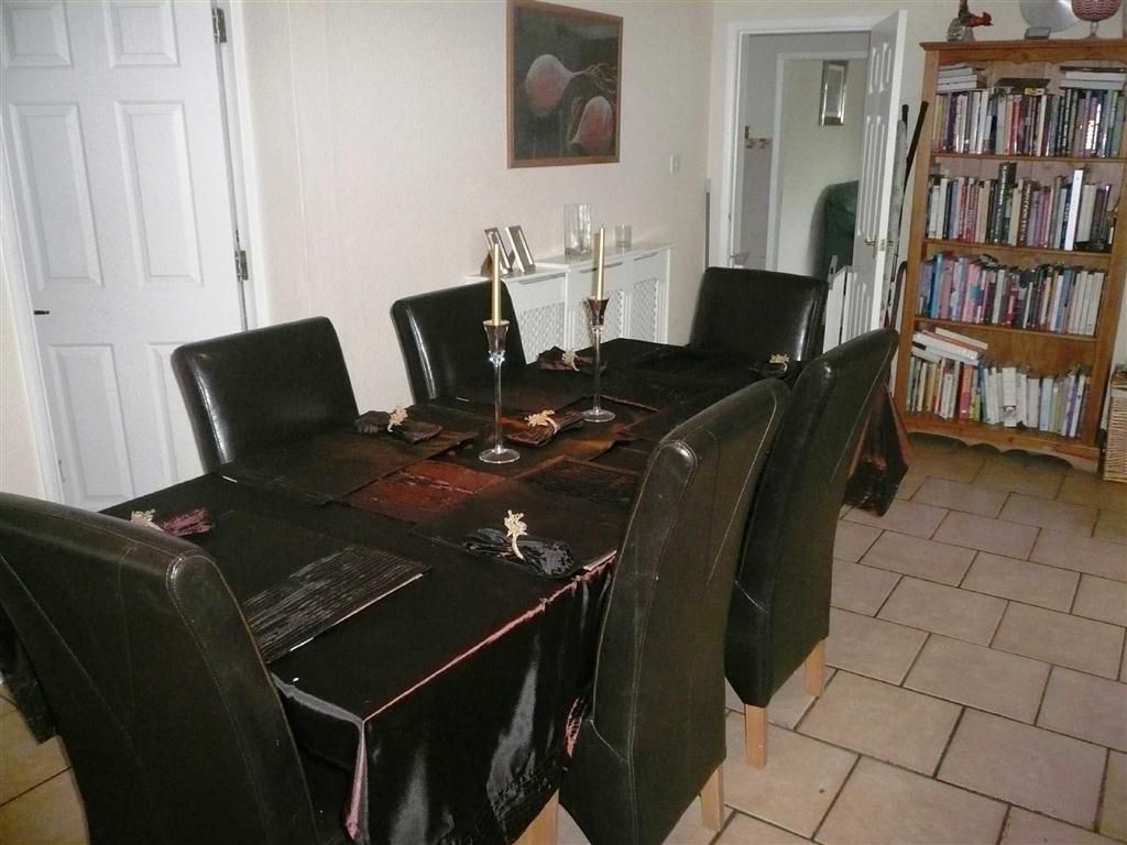
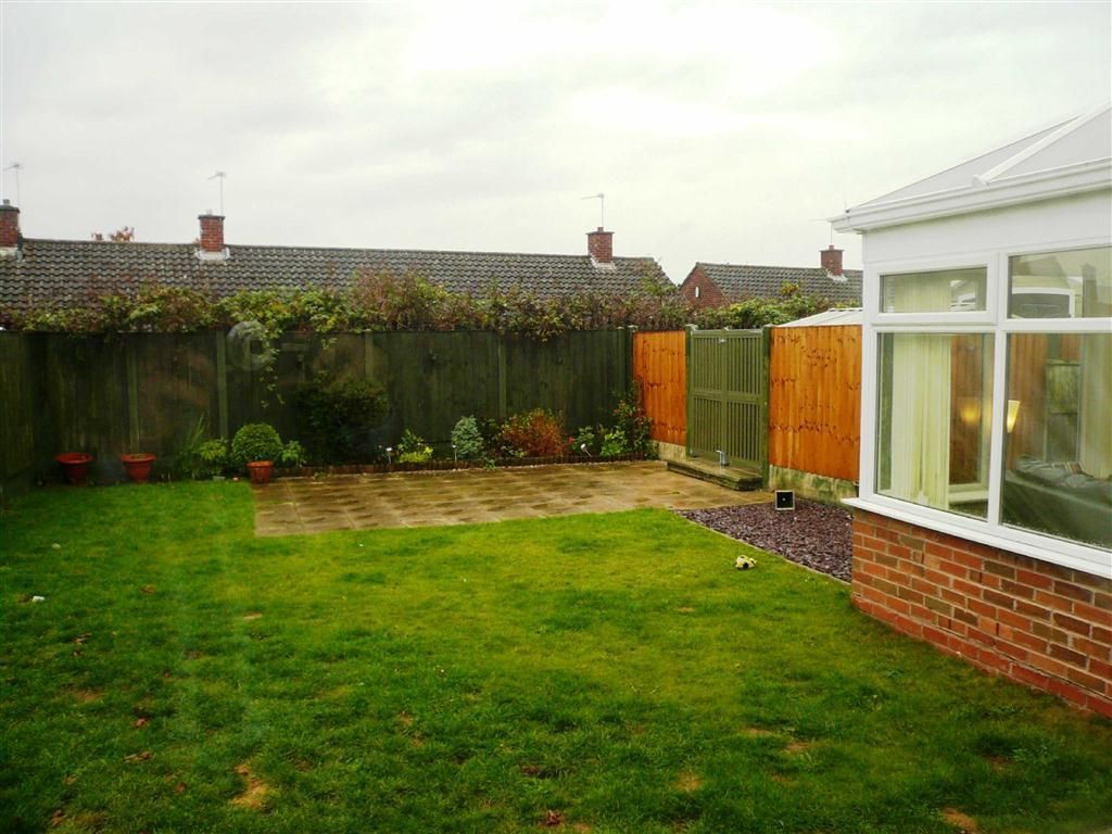

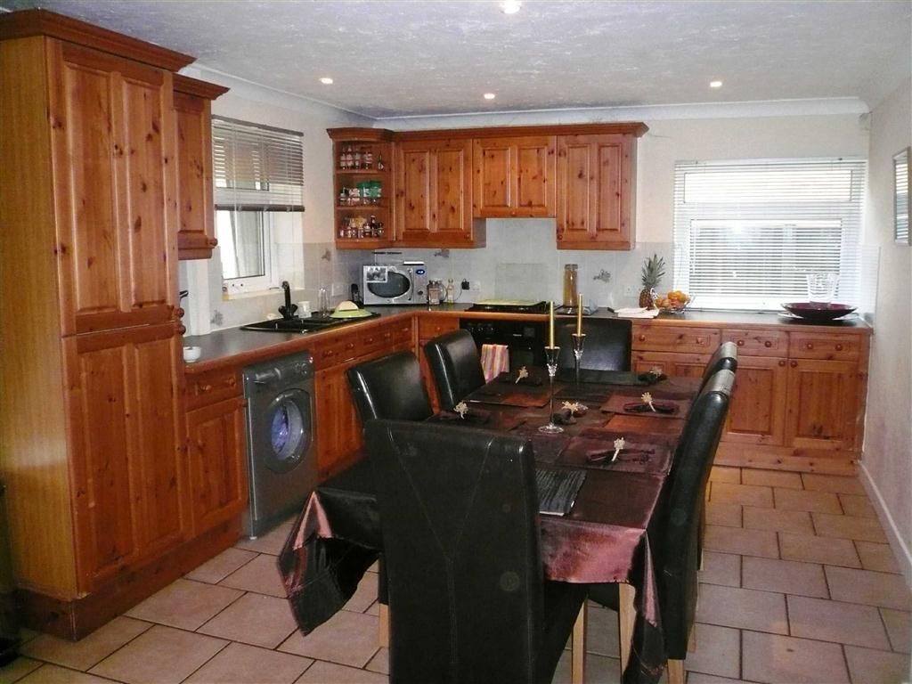
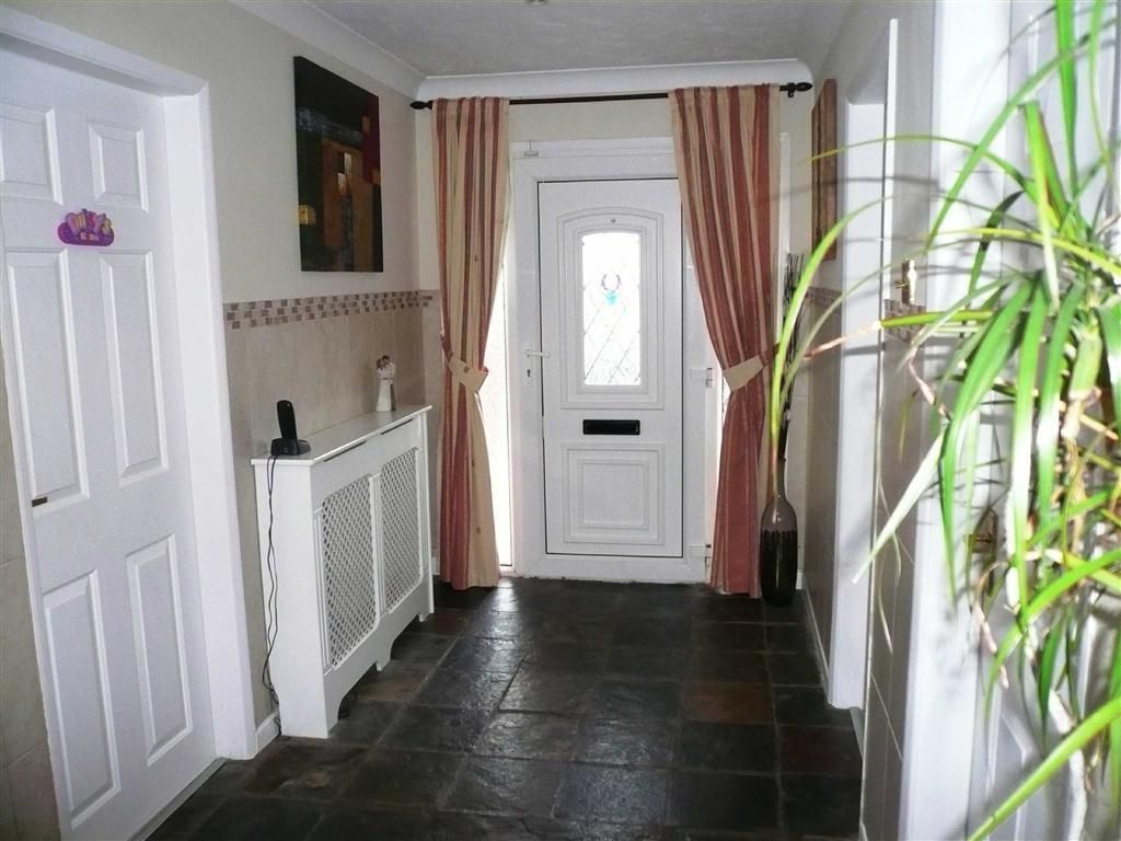
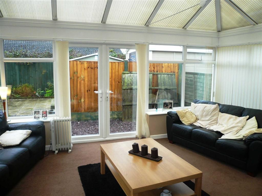
Photo 1 Photo 2 Photo 3 Photo 4 Photo 5 Photo 6 Photo 7
/ 7
Property details
Last sold
£122,000 Jun 2012
Local average
£330,851 (-62.2%)
Deprivation
Decile 4 (13,244 of 33,755)
Street crime
364 incidents within 1 mile (Apr 2026)
Additional details
- Parking
- Yes
- Garden
- Yes
Description
You may download, store and use the material for your own personal use and research. You may not republish, retransmit, redistribute or otherwise make the material available to any party or make the same available on any website, online service or bulletin board of your own or of any other party or make the same available in hard copy or in any other media without the website owner's express prior written consent. The website owner's copyright must remain on all reproductions of material taken from this website.
Listed by
Derby
Connells
Reference: 35681744
Flood risk
Zone: 1
Risk: Low
Job (default Low)
Floorplans
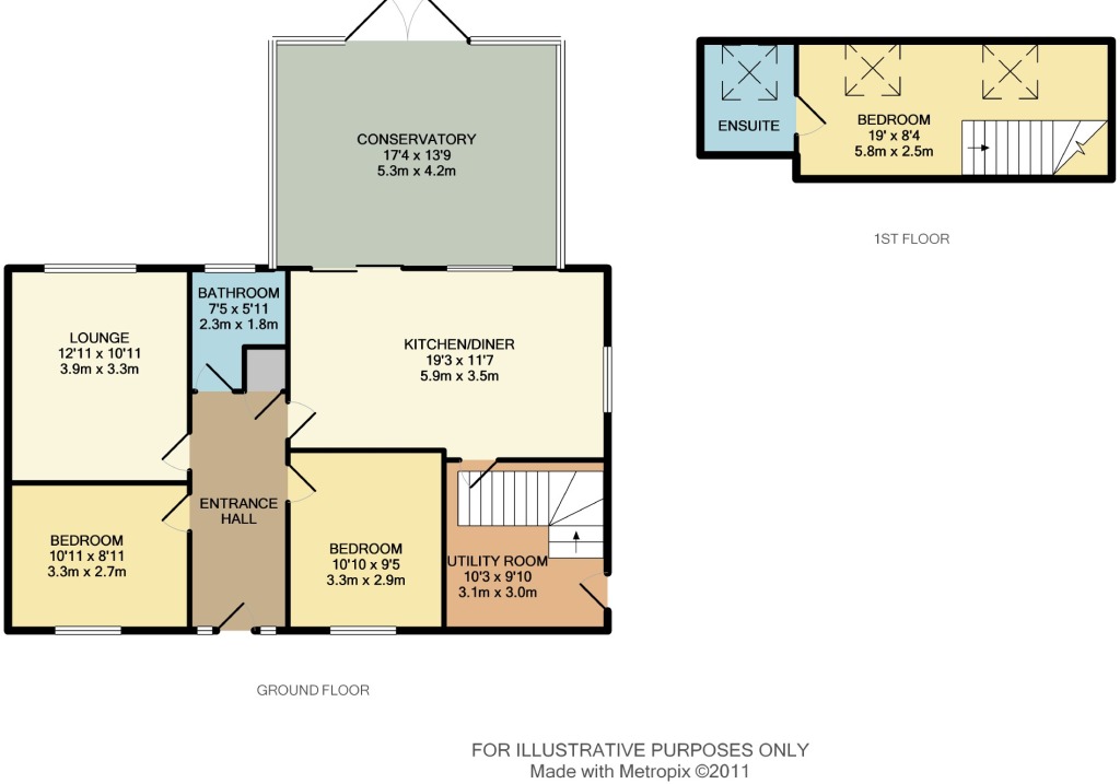
Floorplan 1
Price history
230% since 2000
| Event | Date | Price | % change |
|---|---|---|---|
| Sold | 22/06/2012 (13 years ago) | £122,000 | +229.7% |
| Sold | 19/05/2000 (26 years ago) | £37,000 | — |
Source: HM Land Registry Price Paid Data. Crown copyright.
Sold Comparables
Same street and nearby sales within 0.25 miles (last 5 years). Data from Land Registry Price Paid.
| Address | Price | Date | Type |
|---|---|---|---|
| Same street 37 HILLCREST ROAD, DERBY, CITY OF DERBY, DE21 6FJ | £160,000 | 15/12/2023 | Semi-detached |
| 15 WILTSHIRE ROAD, DERBY, CITY OF DERBY, DE21 6EY | £167,950 | 09/11/2023 | Detached |
| 15 WILTSHIRE ROAD, DERBY, CITY OF DERBY, DE21 6EY | £115,000 | 28/08/2023 | Detached |
| Same street 45 HILLCREST ROAD, DERBY, CITY OF DERBY, DE21 6FJ | £216,000 | 15/02/2023 | Semi-detached |
| 46 HILLCREST ROAD, DERBY, CITY OF DERBY, DE21 6FH | £174,000 | 21/01/2022 | Detached |
| 2A ROE FARM LANE, DERBY, CITY OF DERBY, DE21 6ET | £120,000 | 08/12/2021 | Detached |
| Same street 21 HILLCREST ROAD, DERBY, CITY OF DERBY, DE21 6FJ | £167,500 | 19/11/2021 | Detached |
| Same street 43 HILLCREST ROAD, DERBY, CITY OF DERBY, DE21 6FJ | £169,950 | 13/08/2021 | Detached |
| 93 WILTSHIRE ROAD, DERBY, CITY OF DERBY, DE21 6FB | £187,500 | 30/07/2021 | Detached |
| 12 HILLCREST ROAD, DERBY, CITY OF DERBY, DE21 6FH | £165,000 | 17/06/2021 | Detached |
Street average: £178,363 (4 sales)
Area average: £154,908 (6 sales)
Capital growth trend
Land Registry outcode average: last 12 months vs 5y and 10y ago (from sold prices).
House Price Index (HM Land Registry — official index, not sold-price averages): City of Derby. Series: Detached. As of March 2026.
Rental Range
Estimated market rent for Derby. Low = conservative, Realistic = average, Optimistic = best case.
Based on Local Authority from postcode lookup → Derby.
LHA (30th percentile) floor for Derby: £698/mo (Apr 2025 – Mar 2026)
Location
Nearby
Nearest stations, universities and amenities (distance from property).
| Type | Name | Distance |
|---|---|---|
| Shop | Coral | 0.1 miles |
| Shop | Haircraft Two | 0.1 miles |
| Bus stop | Blue Boy | 0.1 miles |
| Train station | Derby | 1.0 miles |
| University | Institute for Innovation in Sustainable Engineering (University of Derby) | 1.3 miles |
| University | Lonsdale House | 1.3 miles |
| Hospital | Florence Nightingale Community Hospital | 1.3 miles |
| Hospital | Cygnet Hospital Derby | 1.6 miles |
| Train station | Spondon | 2.1 miles |
Street-level crime
| Category | Count |
|---|---|
| Violence and sexual offences | 138 |
| Public order | 49 |
| Criminal damage and arson | 37 |
| Anti-social behaviour | 32 |
| Drugs | 23 |
| Other theft | 19 |
| Shoplifting | 19 |
| Vehicle crime | 17 |
| Burglary | 9 |
| Other crime | 6 |
| Possession of weapons | 6 |
| Bicycle theft | 5 |
| Robbery | 3 |
| Theft from the person | 1 |
| Total incidents | 364 |
Within 1 mile during Apr 2026. Source: data.police.uk (England & Wales).
Schools nearby
Nearest open schools with Ofsted ratings (England). Closed schools are not shown. Data from Get Information about Schools and Ofsted.
| Name | Type | Distance | Ofsted |
|---|---|---|---|
| Derwent Primary School | Primary | 0.3 miles | Good — 11 Oct 2021 |
| Roe Farm Primary School | Primary | 0.5 miles | Good — 9 Jul 2024 |
| Beaufort Community Primary School | Primary | 0.6 miles | Requires improvement — 10 Dec 2023 |
| St Alban's Catholic Voluntary Academy | Primary | 0.6 miles | Good — 11 Oct 2013 |
| St Giles' Spencer Academy | Other | 0.7 miles | Outstanding — 11 Jan 2017 |
Rental Comparables
Rental listings exist nearby, but none matched the 3-bedroom count for this property.
Rent-driven metrics
Based on Area rent estimate.
- Rent ratio — Monthly rent ÷ purchase price (1% rule). 1%+ = strong, 0.8–1% = okay, <0.8% = weak for cashflow.
- Max investor price — Rent ÷ 0.8%; the price at which rent would be 0.8% of price (Stoke-style target).
- Target investor price — Rent ÷ 1%; the price at which rent would be 1% of price (strong cashflow band).
- Gross yield — Annual rent as % of purchase price (no costs).