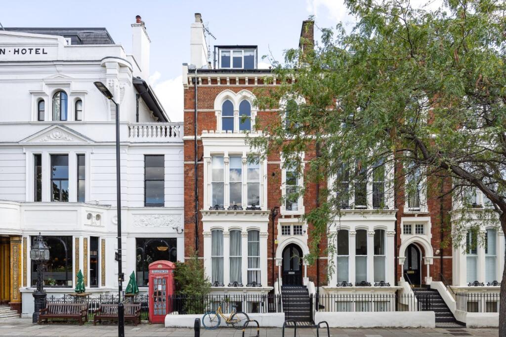
THE UPPER MAISONETTE AT
91 WARRINGTON CRESCENT, LONDON, GREATER LONDON W9 1EH
£4,983 pcm
Property details
Council tax band
TBC
Deprivation
Decile 7 (23,604 of 33,755)
Street crime
1695 incidents within 1 mile (Apr 2026)
Key features
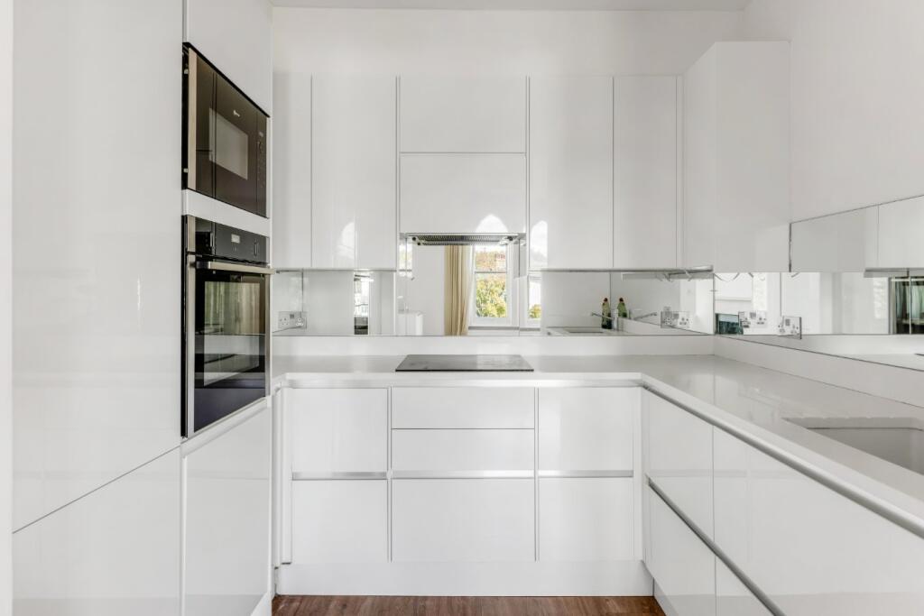
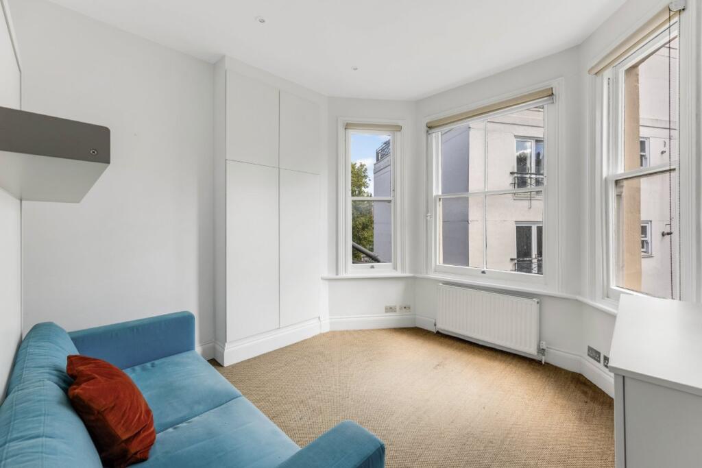
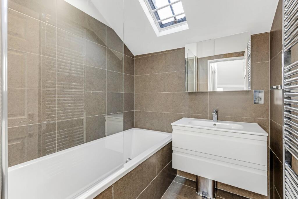
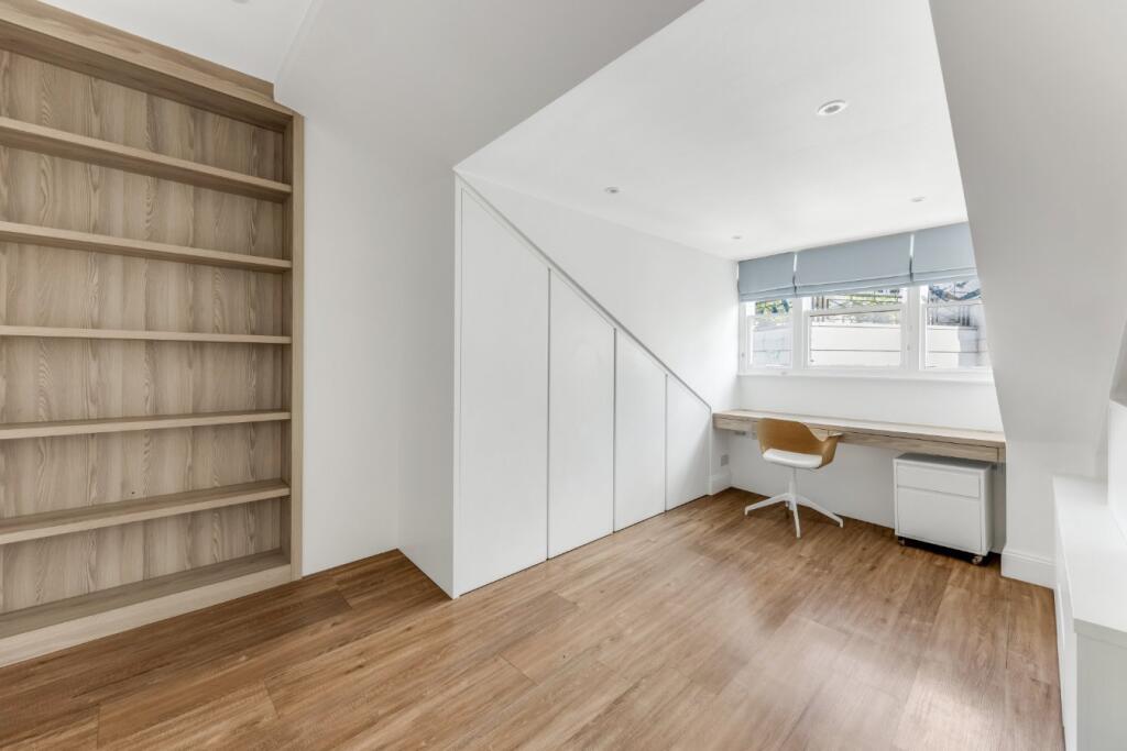
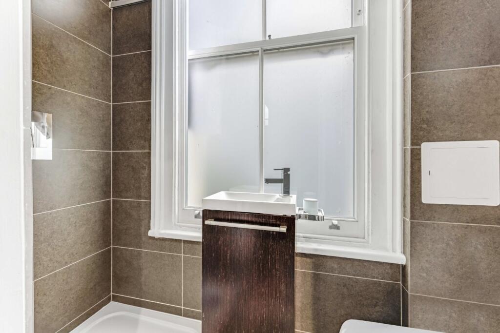
- Two Double Bedrooms, Further Bedroom/Office, Three Bathrooms, Open Plan Kitchen/Reception Room
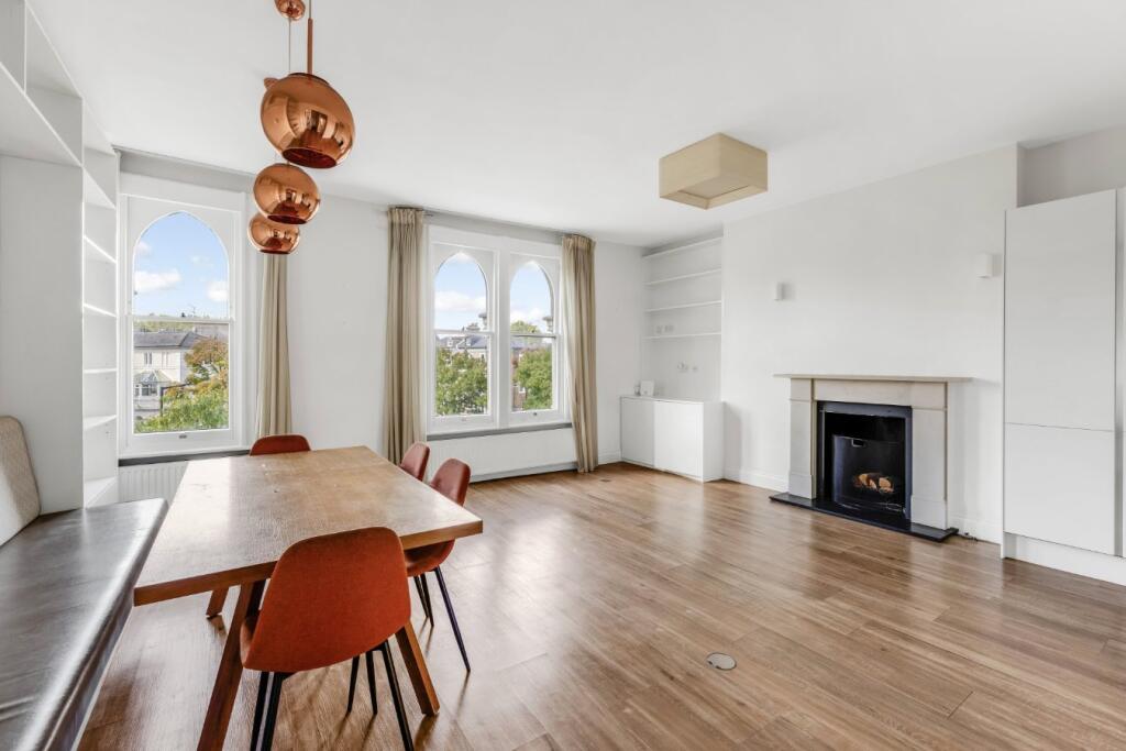
Description
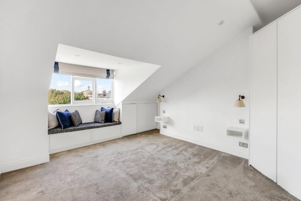
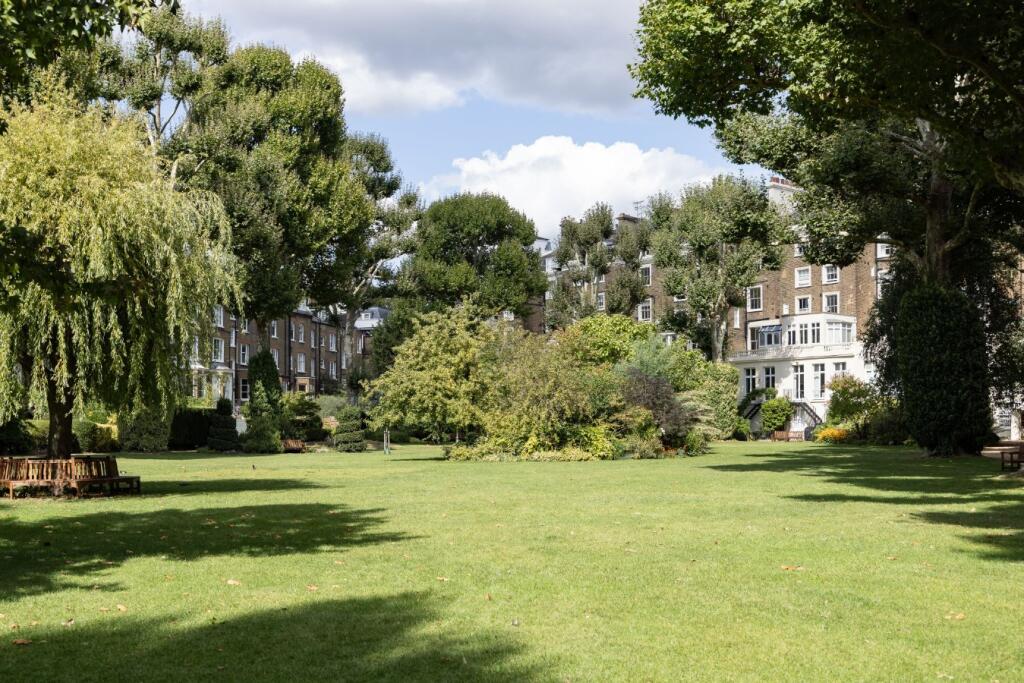
The apartment benefits from an open plan kitchen/reception room, large sash windows, an abundance of natural light and access to the Residents Only communal gardens.
Warrington Crescent is located in prime Little Venice. Moments from the cafes and restaurants of both Formosa Street and Clifton Road. Warwick Avenue Underground station (Bakerloo line) and Paddington station with its international rail links are both within a short walk.
Listed by
London
Aston Chase
Reference: 173967044
EPC Rating & Upgrade Cost
Fetching EPC data… Refresh this page in a moment.
Flood risk
Zone: 1
Risk: Low
Job (default Low)
Floorplans
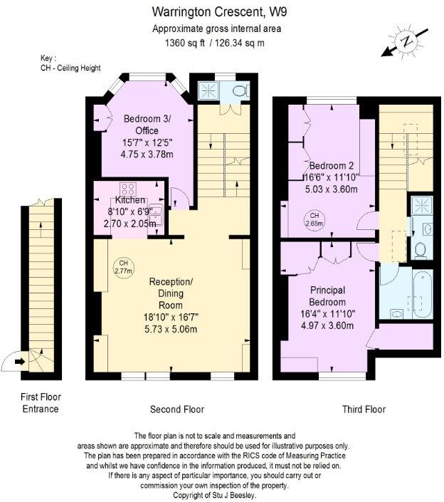
Picture No. 31
EPC Graphs
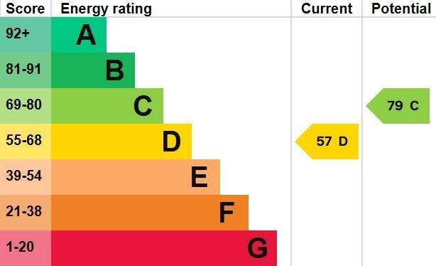
Picture No. 32
Company ownership
Registered legal owner is a company.
Rental Range
Estimated market rent for Westminster. Low = conservative, Realistic = average, Optimistic = best case.
Based on Local Authority from postcode lookup → Westminster.
LHA (30th percentile) floor for Lincoln: £673/mo (Apr 2025 – Mar 2026)
Location
Nearby
Nearest stations, universities and amenities (distance from property).
| Type | Name | Distance |
|---|---|---|
| Shop | Formosa Flowers & Chocolaterie | 0.1 miles |
| Shop | Real Drinks | 0.1 miles |
| Bus stop | Maida Vale | 0.2 miles |
| Bus stop | Hall Road | 0.2 miles |
| Train station | Warwick Avenue | 0.2 miles |
| Train station | Maida Vale | 0.3 miles |
| University | Kennet West Skills Centre | 0.8 miles |
| University | LBS Behaviour Lab | 1.0 miles |
| Hospital | The Portland Hospital | 1.7 miles |
| Hospital | Sleep & Health Clinic | 1.9 miles |
Street-level crime
| Category | Count |
|---|---|
| Anti-social behaviour | 418 |
| Violence and sexual offences | 363 |
| Shoplifting | 160 |
| Other theft | 140 |
| Theft from the person | 108 |
| Burglary | 106 |
| Public order | 91 |
| Drugs | 72 |
| Criminal damage and arson | 71 |
| Vehicle crime | 68 |
| Robbery | 39 |
| Bicycle theft | 33 |
| Possession of weapons | 17 |
| Other crime | 9 |
| Total incidents | 1695 |
Within 1 mile during Apr 2026. Source: data.police.uk (England & Wales).
Schools nearby
Nearest open schools with Ofsted ratings (England). Closed schools are not shown. Data from Get Information about Schools and Ofsted.
| Name | Type | Distance | Ofsted |
|---|---|---|---|
| St Joseph's RC Primary School | Primary | 0.1 miles | Outstanding — 14 May 2024 |
| St Saviour's CofE Primary School | Primary | 0.3 miles | Good — 14 Dec 2023 |
| Paddington Academy | Secondary | 0.4 miles | Outstanding — 8 May 2023 |
| St Mary Magdalene CofE Primary School | Primary | 0.4 miles | Good — 12 Nov 2012 |
| Ark Atwood Primary Academy | Primary | 0.4 miles | Outstanding — 9 Sep 2024 |
Rental Comparables
Rental listings exist nearby, but none matched the 3-bedroom count for this property.