FLAT 50
BRECON COURT, 30, CIVIC STREET, HOUNSLOW, GREATER LONDON TW3 4FG
£2,050 pcm
Property details
Floor area
71 m²
EPC rating
B
Street crime
877 incidents within 1 mile (Apr 2026)
Key features
- Available 13th of June 2025
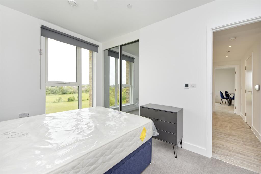
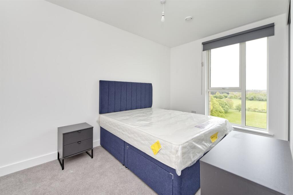
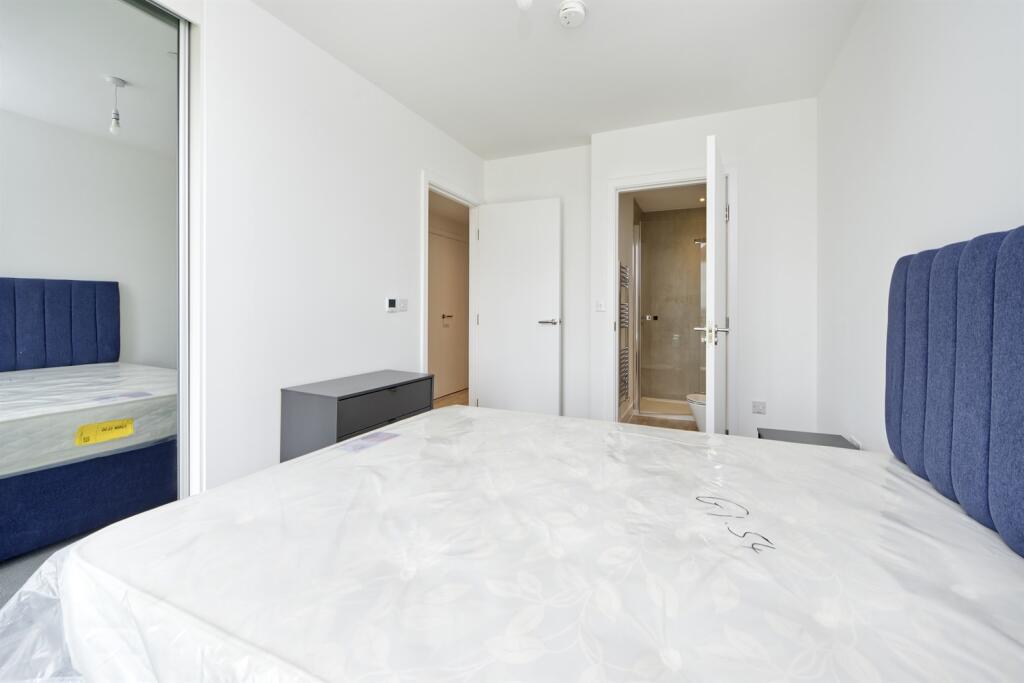
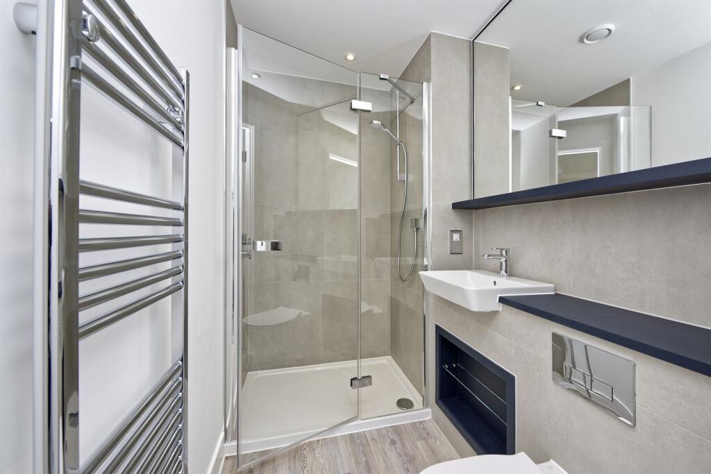
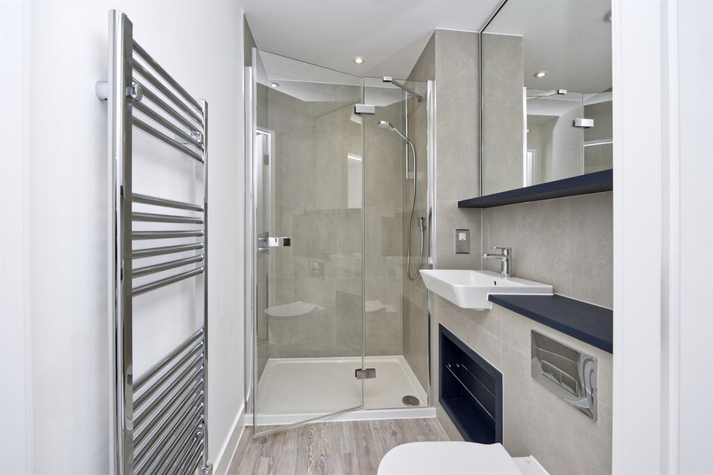
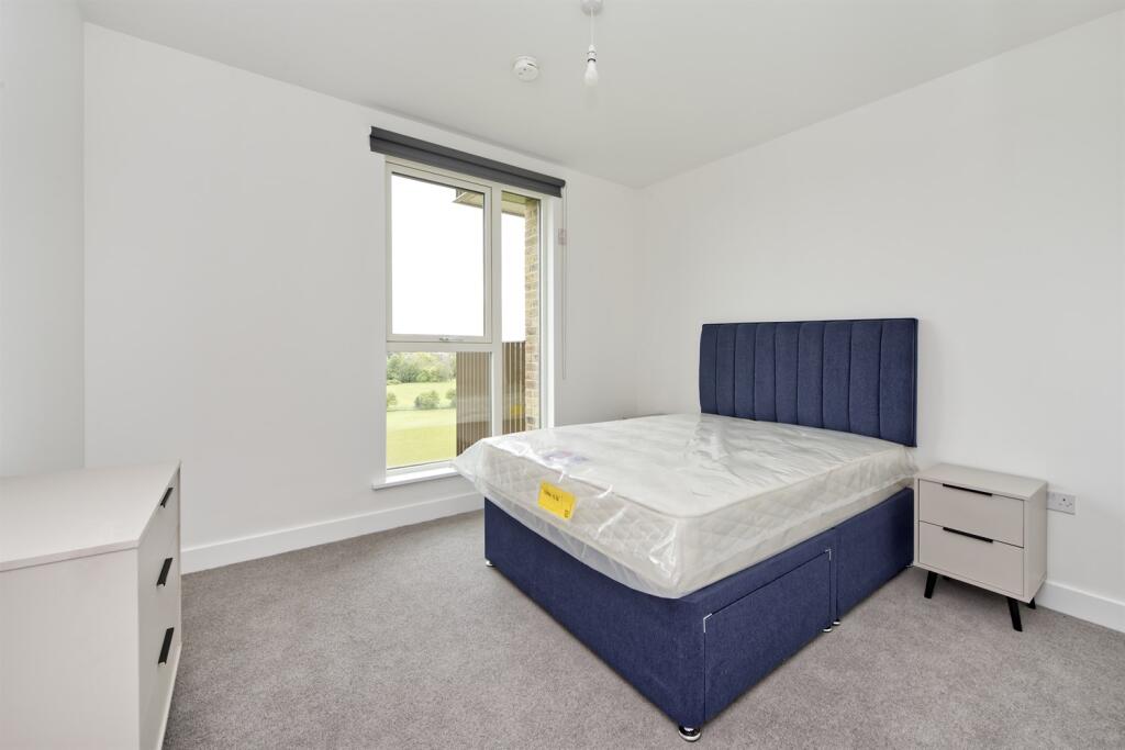
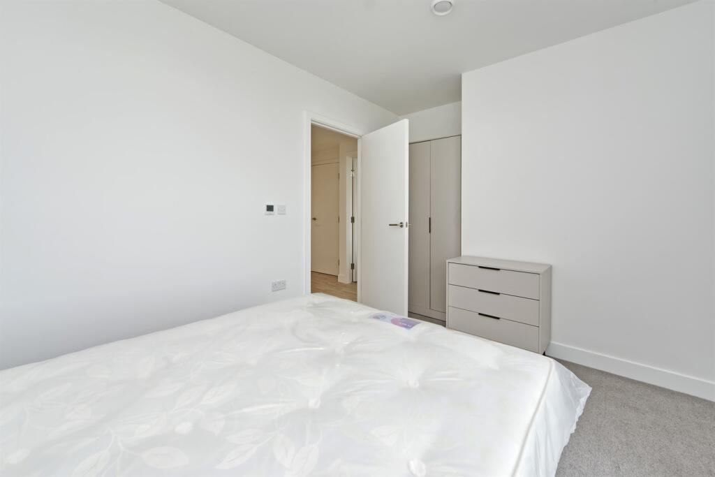
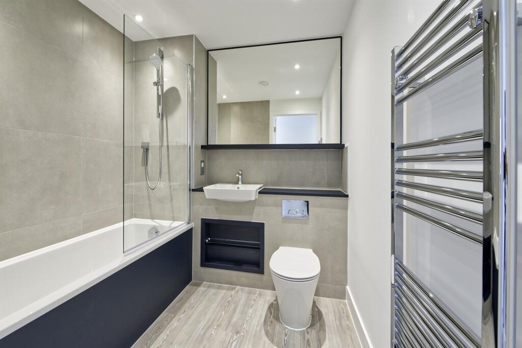
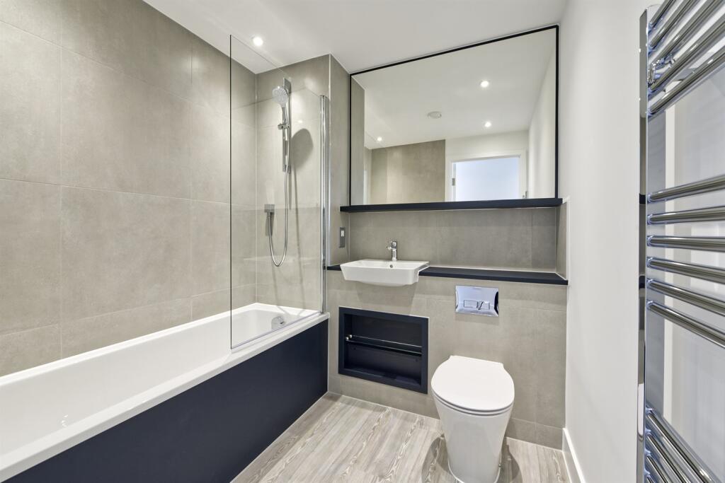
- Two Bedroom - Two Bathroom
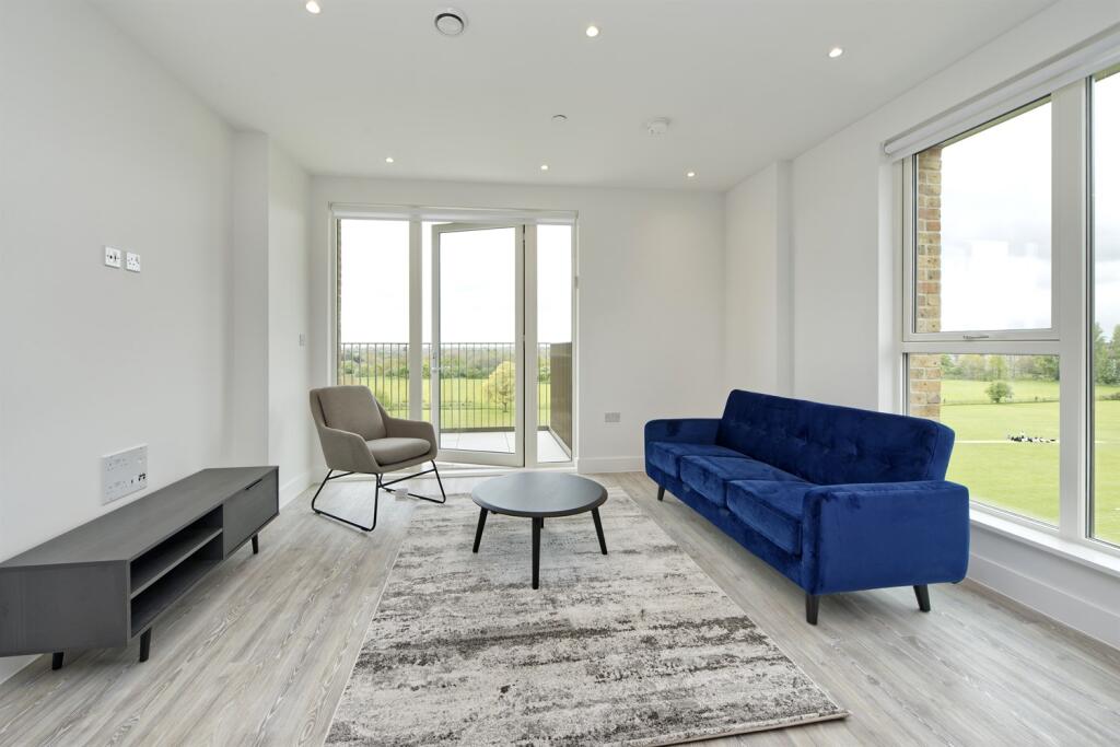
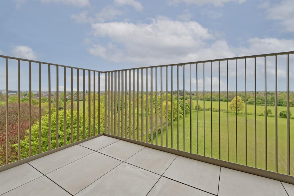
- Corner Unit - Facing Lampton Park
- Daytime Concierge
- Adjacent to Lampton Park - Tennis courts, Childrens Playground
- 0.2 miles to Hounslow Central Underground Station (Piccadilly Line)
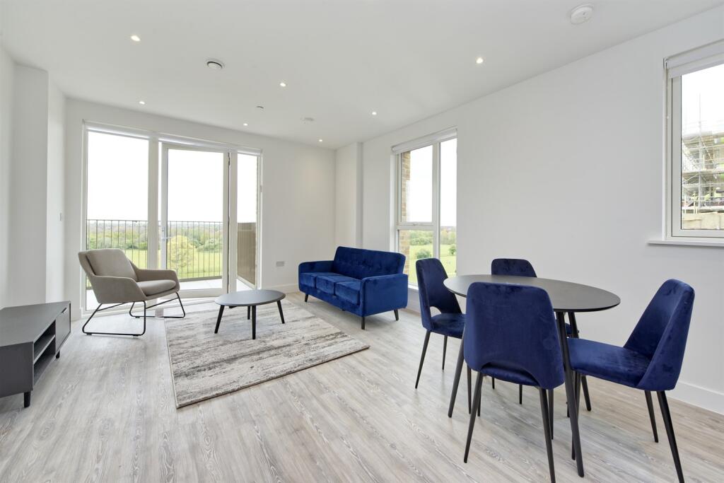
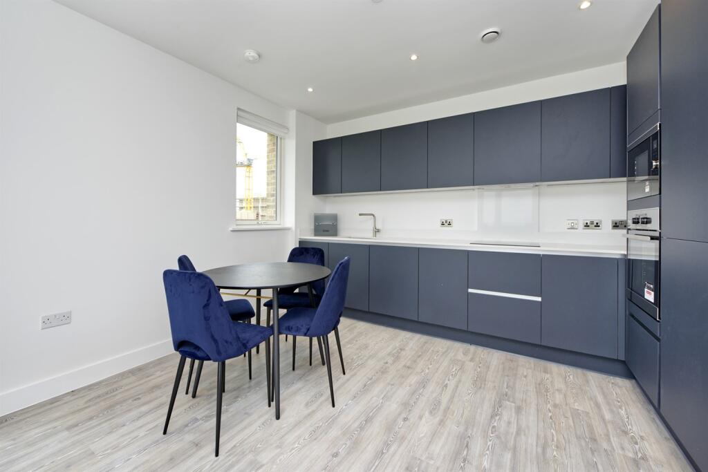
Description
The development is conveniently located a short walk from Hounslow Central underground and its excellent transport links. You are also a short walk from Hounslow high street with a whole range of restaurants, shops and cafes to suit your every need. Most impressively, the development provides direct access into the beautiful Lampton Park; a 40-acre park with sports fields, public tennis courts, a playground and a bowling green.
Listed by
London
Settio Property Experience Ltd
Reference: 160365608
EPC Rating & Upgrade Cost
Current rating: B
Potential rating: B
Inspection date: 05/09/2023
Current heating cost: £195/year
Potential heating cost: £195/year
Flood risk
Zone: 1
Risk: Low
Job (default Low)
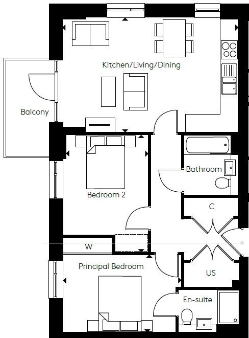
Floorplans
Other
Rental Range
Estimated market rent for London. Low = conservative, Realistic = average, Optimistic = best case.
Based on Postcode area TW → London.
LHA (30th percentile) floor for Outer West London: £1,296/mo (Apr 2025 – Mar 2026)
Location
Address
24 Civic Street
Nearby
Nearest stations, universities and amenities (distance from property).
| Type | Name | Distance |
|---|---|---|
| Bus stop | Civic Street | 0.1 miles |
| Train station | Hounslow Central | 0.3 miles |
| Shop | Repair Centre (Mobile Phone/Laptop/Ipad) | 0.4 miles |
| Shop | B&M | 0.4 miles |
| Hospital | Hounslow Medical Centre | 0.5 miles |
| Train station | Hounslow East | 0.6 miles |
| University | University of West London | 3.7 miles |
| University | University of West London - Hellenic Institute Of Maritime Studies | 3.7 miles |
| Hospital | Bridge Lane Health Centre | 8.7 miles |
Street-level crime
| Category | Count |
|---|---|
| Violence and sexual offences | 241 |
| Anti-social behaviour | 191 |
| Shoplifting | 102 |
| Public order | 55 |
| Other theft | 48 |
| Drugs | 47 |
| Vehicle crime | 45 |
| Theft from the person | 41 |
| Criminal damage and arson | 40 |
| Burglary | 36 |
| Bicycle theft | 10 |
| Other crime | 10 |
| Robbery | 9 |
| Possession of weapons | 2 |
| Total incidents | 877 |
Within 1 mile during Apr 2026. Source: data.police.uk (England & Wales).
Schools nearby
Nearest open schools with Ofsted ratings (England). Closed schools are not shown. Data from Get Information about Schools and Ofsted.
| Name | Type | Distance | Ofsted |
|---|---|---|---|
| Lampton Academy | Secondary | 0.2 miles | Outstanding — 23 Jun 2024 |
| Wellington Primary School | Primary | 0.3 miles | Good — 3 Jul 2019 |
| Alexandra Primary School | Primary | 0.4 miles | Good — 20 Sep 2017 |
| Oak Heights Independent School | Other | 0.5 miles | Good — 24 Sep 2023 |
| St Mark's Catholic School | Secondary | 0.5 miles | Outstanding — 18 Oct 2022 |
Rental Comparables
Residential lets from OpenRent and Rightmove for the area (same bedroom count). Use to validate rent estimates. Student lets are excluded.
| Title | Rent | Beds | Distance | As seen on |
|---|---|---|---|---|
| 2 Bed Flat, Upper Sutton Lane, TW5 | £2,400/mo | 2 | 0.34 miles | OpenRent |
Average rent: £2,400/mo (1 listing)