Pump Lane
Doveridge, Derbyshire, DE6, DE6 5LX
£375,000
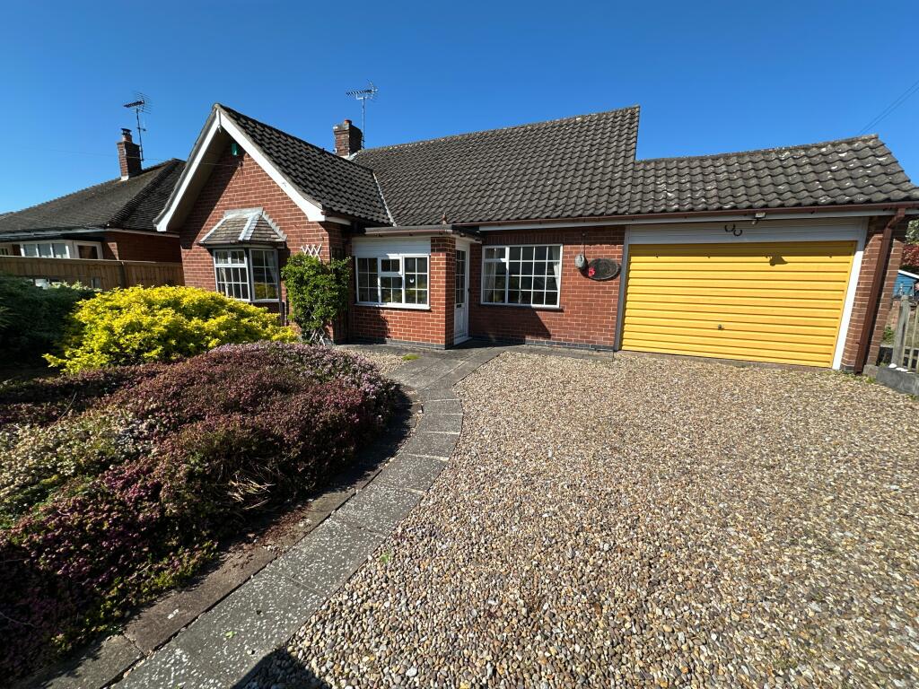
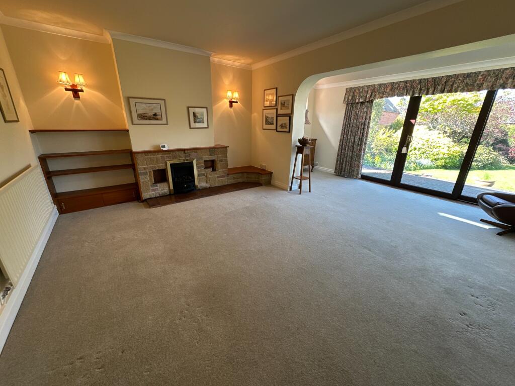
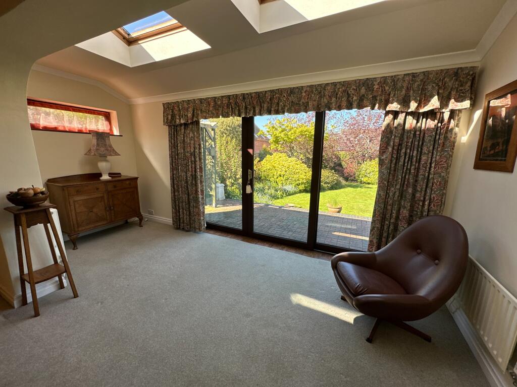
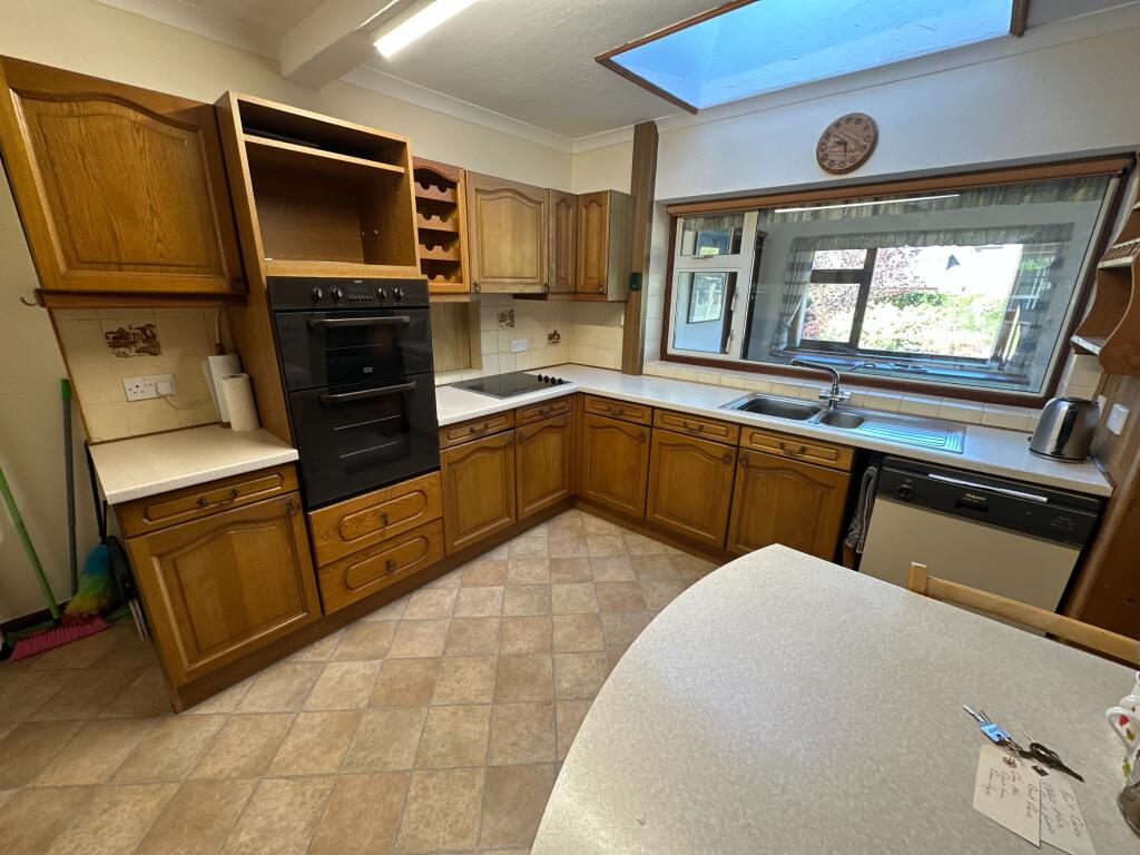
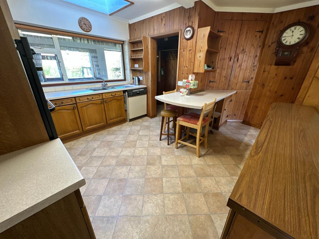
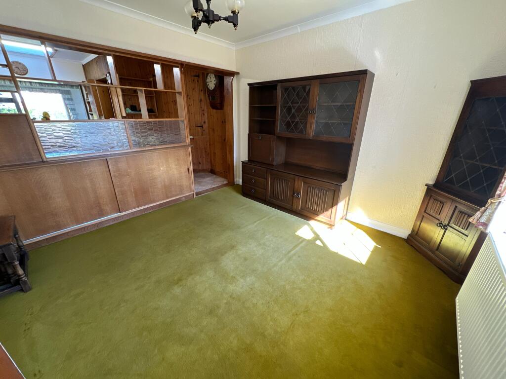
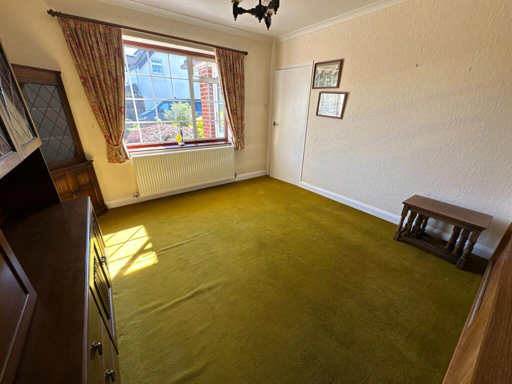
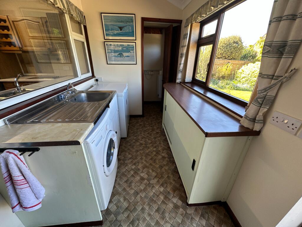
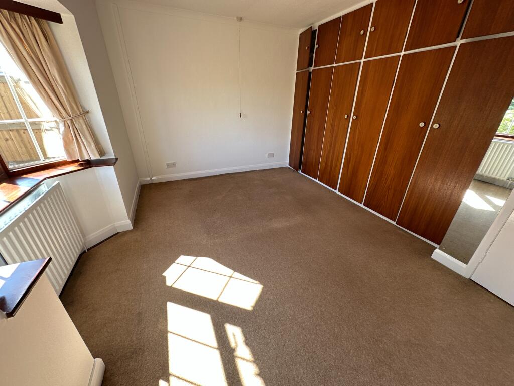
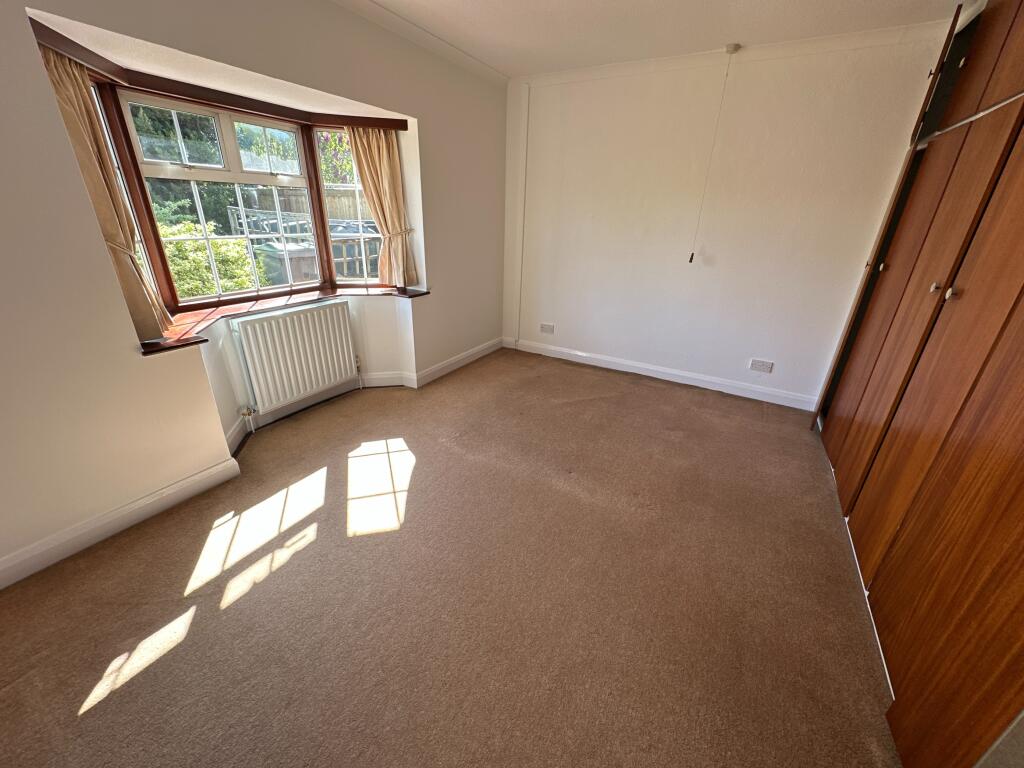
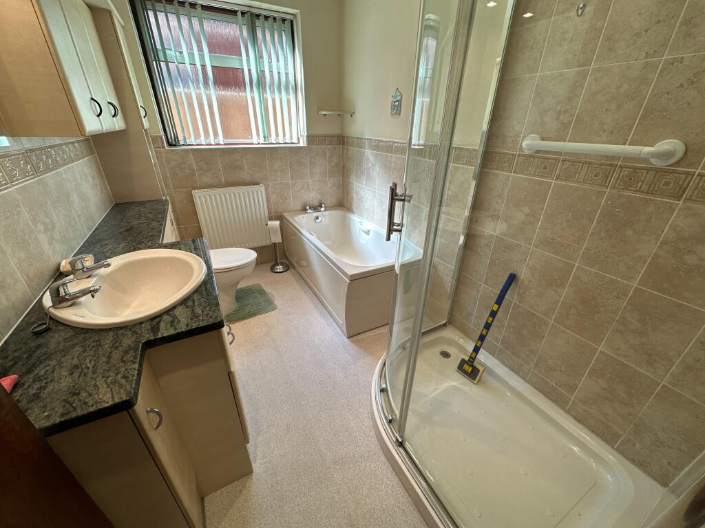
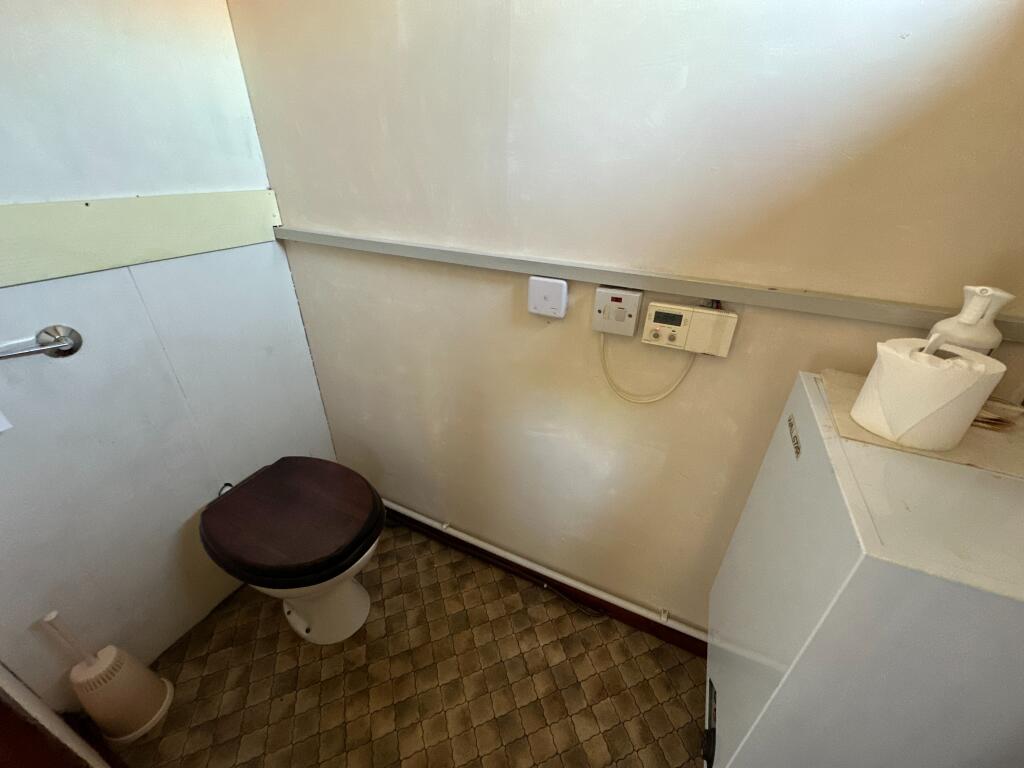
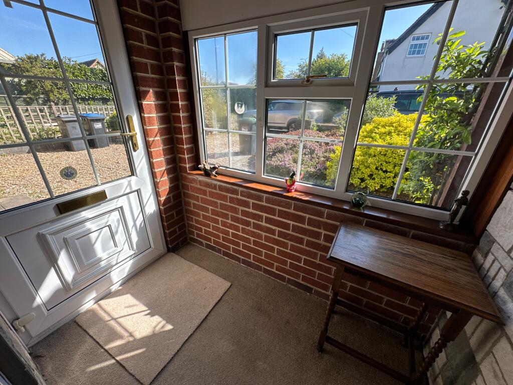
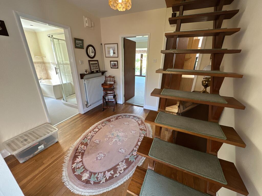
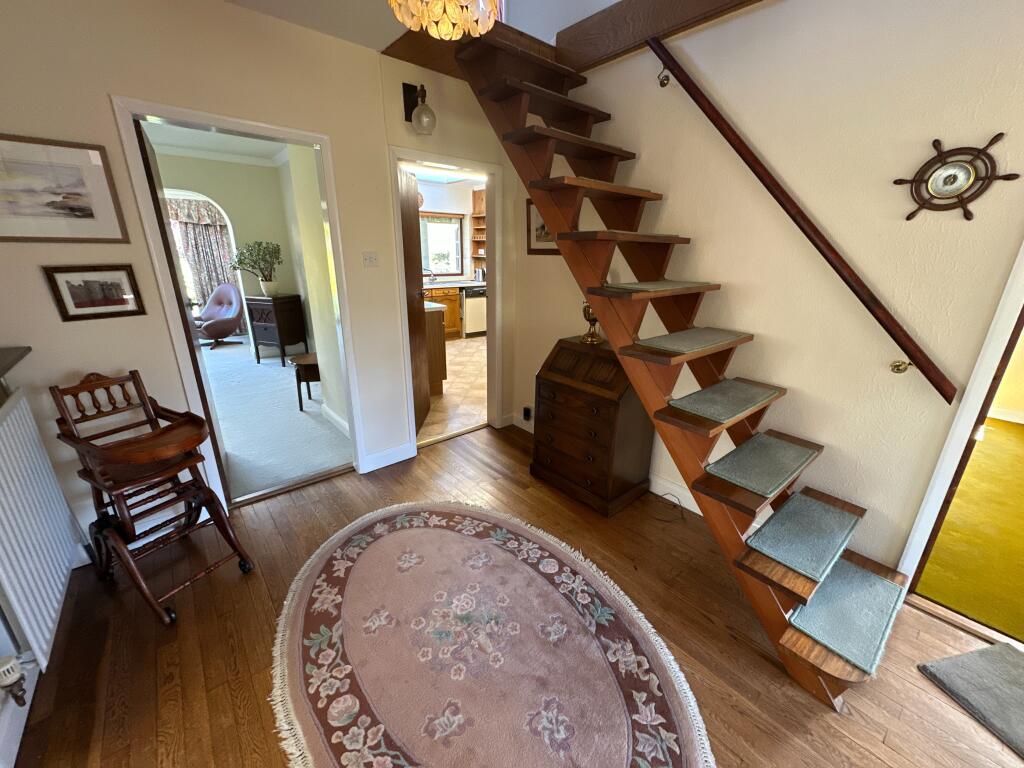
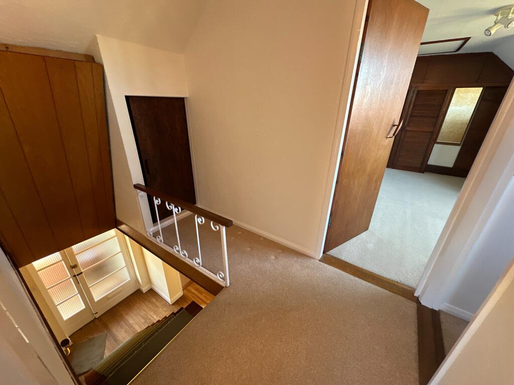
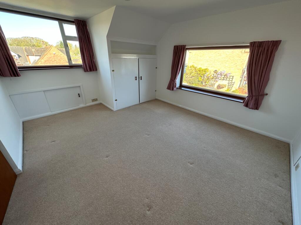
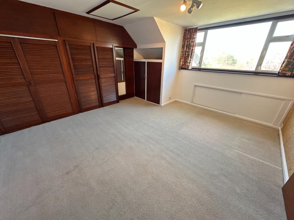
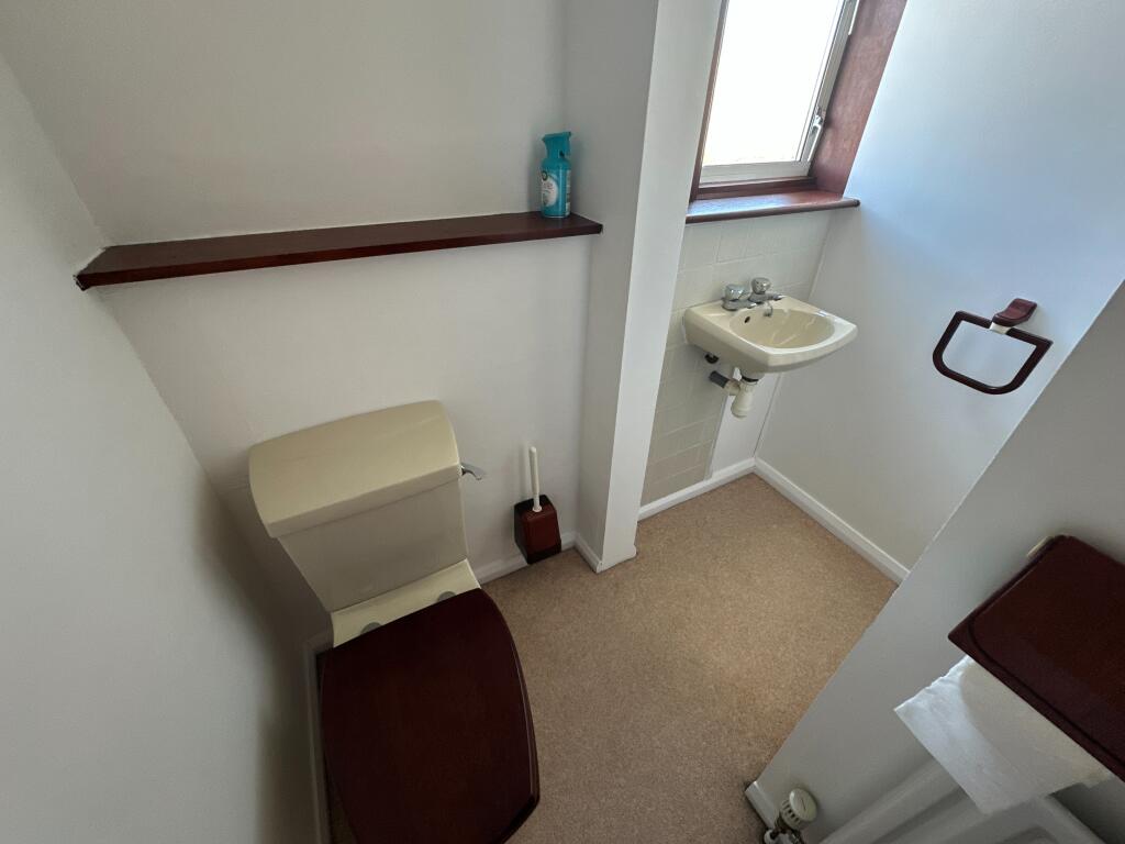
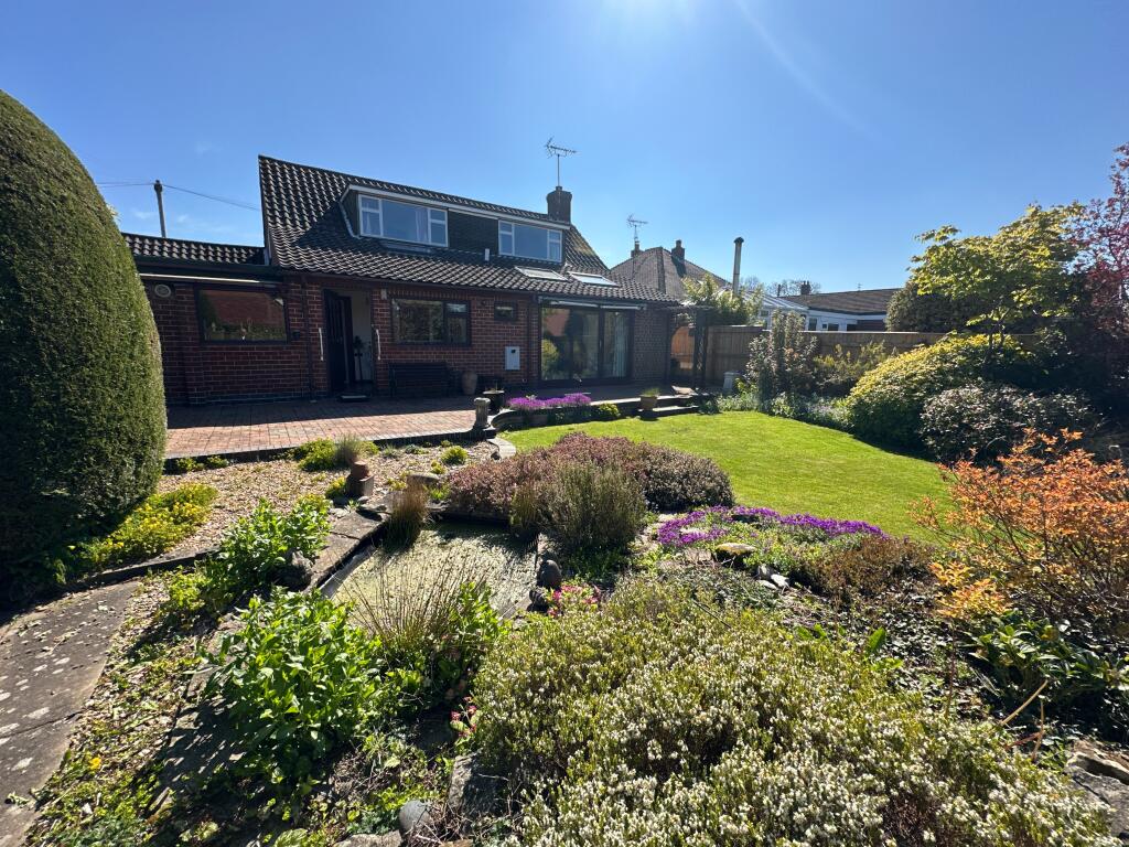
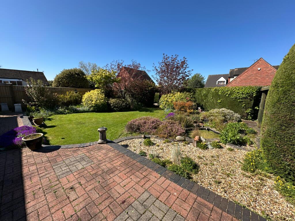
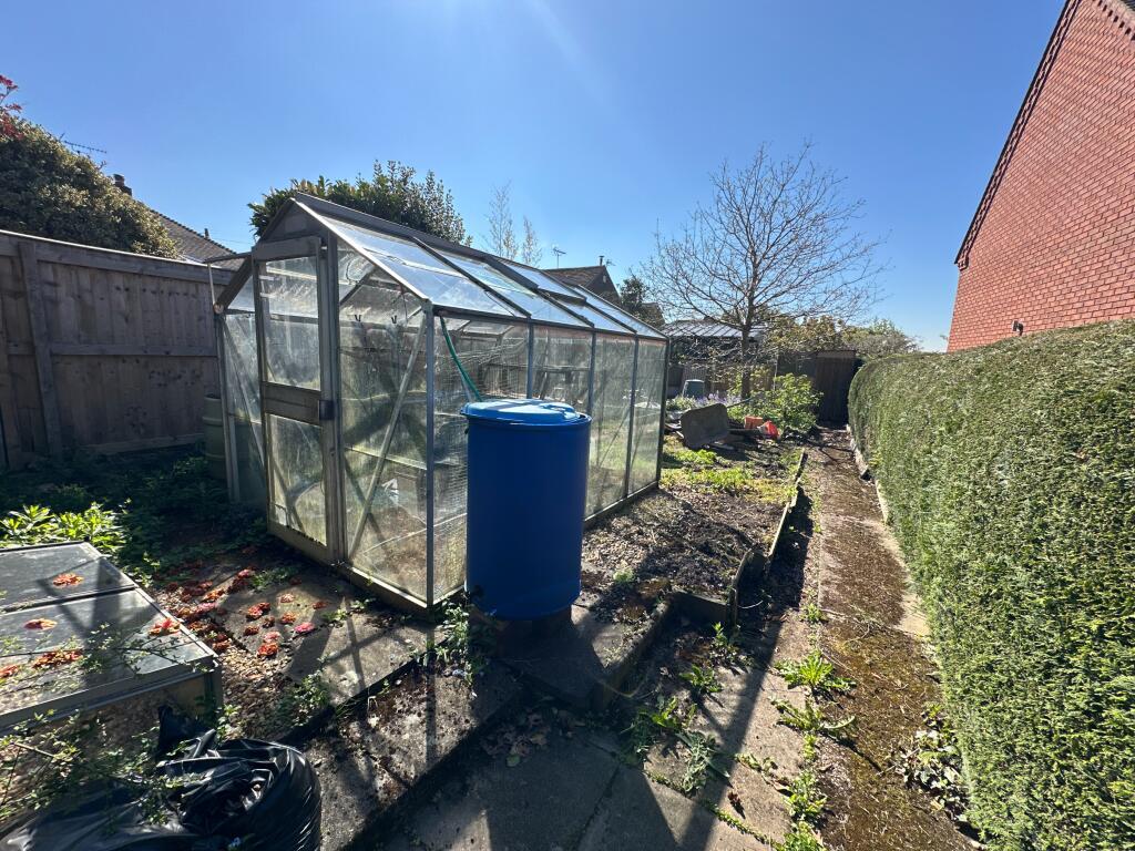
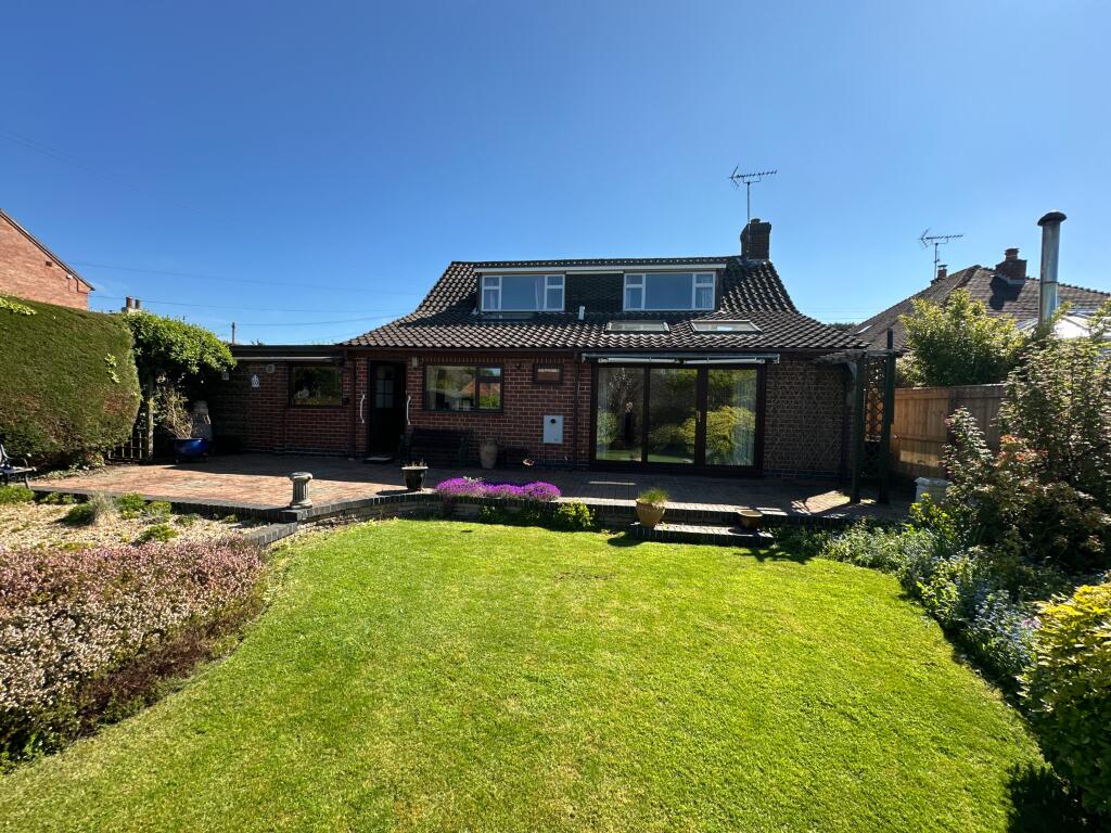
Photo 1 Photo 2 Photo 3 Photo 4 Photo 5 Photo 6 Photo 7 Photo 8 Photo 9 Photo 10 Photo 11 Photo 12 Photo 13 Photo 14 Photo 15 Photo 16 Photo 17 Photo 18 Photo 19 Photo 20 Photo 21 Photo 22 Photo 23
/ 23
Property details
Tenure
FREEHOLD
Council tax band
D
Local average
£488,884 (-23.3%)
Deprivation
Decile 7 (22,775 of 33,755)
Street crime
8 incidents within 1 mile (Apr 2026)
Key features
- Deceptively Spacious Individual Home
- Highly Regarded Village Location
- Extensive Versatile Accommodation
- Three Double Bedrooms
- Large Garage & Workshop
- Landscaped Rear Garden
- Viewing A Must To Appreciate
Additional details
- Heating
- Oil
- Parking
- Garage
- Garden
- Private garden
- Listed property
- No
Description
EPC rating: E. Tenure: Freehold,
Listed by
Burton on Trent
The Property Franchise Group
Reference: 87832389
EPC ratings on this postcode
We don't have a matched EPC for this property yet. Below are efficiency scores and details for other addresses on this postcode.
| Address | Current | Potential | Floor area | Age band | Type |
|---|---|---|---|---|---|
| Appleyard, Pump Lane, Doveridge, ASHBOURNE | 64 | 80 | 119 m² | England and Wales: 1950-1966 | Detached |
| Ashleigh, Pump Lane, Doveridge, ASHBOURNE | 59 | 82 | 101 m² | England and Wales: 1991-1995 | Detached |
| Bondscroft, Pump Lane, Doveridge, ASHBOURNE | 40 | 71 | 107 m² | England and Wales: before 1900 | Detached |
| BRANSDALE, PUMP LANE, DOVERIDGE, ASHBOURNE | 74 | 79 | 196 m² | England and Wales: 1991-1995 | Detached |
| Bransdale, Pump Lane, Doveridge, ASHBOURNE | 55 | 66 | 202 m² | England and Wales: 1991-1995 | Detached |
| Cherry Hinton, Pump Lane, Doveridge, ASHBOURNE | 38 | 73 | 147 m² | England and Wales: 1967-1975 | Detached |
| Chez-Nous, Pump Lane, Doveridge, ASHBOURNE | 48 | 70 | 141 m² | England and Wales: 1976-1982 | Detached |
| Highfields House, Pump Lane, Doveridge, ASHBOURNE | 54 | 77 | 176 m² | England and Wales: before 1900 | Detached |
| Penny Way, Pump Lane, Doveridge, ASHBOURNE | 50 | 84 | 94 m² | England and Wales: 1967-1975 | Detached |
| The Firs, Pump Lane, Doveridge, ASHBOURNE | 36 | 60 | 194 m² | England and Wales: before 1900 | Detached |
| The Firs, Pump Lane, Doveridge, ASHBOURNE | 42 | 64 | 194 m² | England and Wales: before 1900 | Detached |
| Tudor Cottage, Pump Lane, Doveridge, ASHBOURNE | 42 | 72 | 132 m² | — | Detached |
| Woodford House, Pump Lane, Doveridge, ASHBOURNE | 66 | 93 | 144 m² | England and Wales: 1996-2002 | Detached |
| Woodlands View, Pump Lane, Doveridge, ASHBOURNE | 56 | 71 | 195 m² | England and Wales: 1950-1966 | Detached |
| Woodyard, Pump Lane, Doveridge, ASHBOURNE | 71 | 81 | 184 m² | England and Wales: 1967-1975 | Detached |
Flood risk
Zone: 1
Risk: Low
Job (default Low)
Floorplans
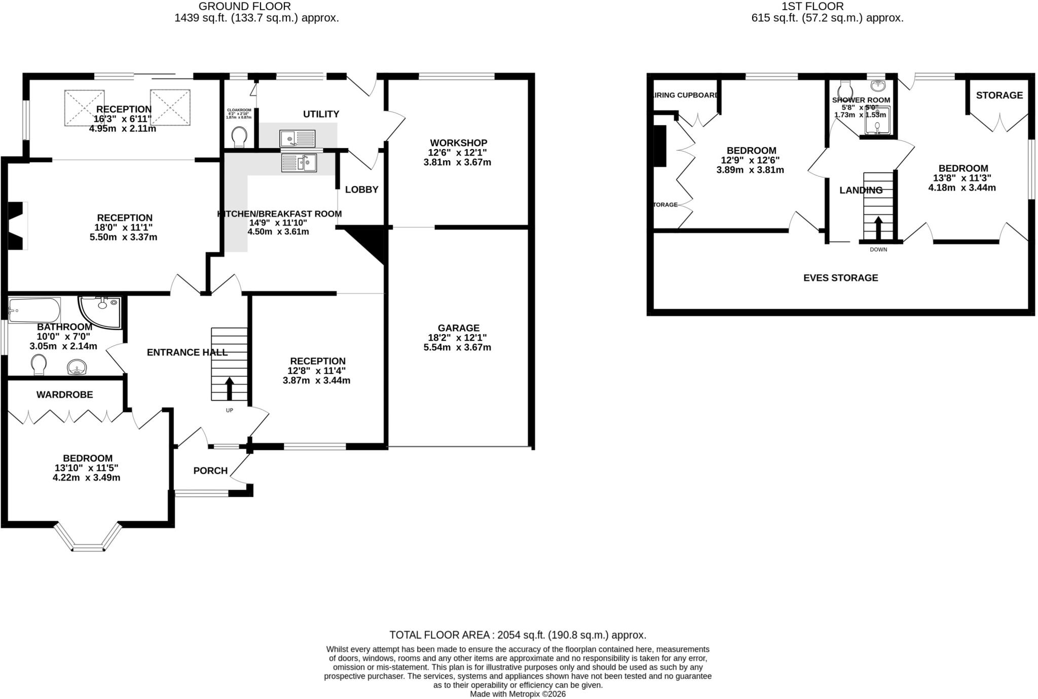
Floorplan
EPC Graphs

EPC Certificate
Price history
| Event | Date | Price | % change |
|---|---|---|---|
| Listed for sale | — | £375,000 | — |
Source: HM Land Registry Price Paid Data. Crown copyright.
Sold Comparables
Same street and nearby sales within 0.25 miles (last 5 years). Data from Land Registry Price Paid.
| Address | Price | Date | Type |
|---|---|---|---|
| 21 PARK CRESCENT, DOVERIDGE, ASHBOURNE, DERBYSHIRE DALES, DERBYSHIRE, DE6 5NE | £605,000 | 19/12/2025 | Detached |
| ASHLEA CHAPEL GREEN, DOVERIDGE, ASHBOURNE, DERBYSHIRE DALES, DERBYSHIRE, DE6 5JY | £425,000 | 21/11/2025 | Detached |
| GLEBE HOUSE LOWER STREET, DOVERIDGE, ASHBOURNE, DERBYSHIRE DALES, DERBYSHIRE, DE6 5NS | £550,000 | 15/09/2025 | Detached |
| 1 WEST DRIVE, DOVERIDGE, ASHBOURNE, DERBYSHIRE DALES, DERBYSHIRE, DE6 5NG | £240,000 | 08/12/2023 | Detached |
| 3 MAPLE CLOSE, DOVERIDGE, ASHBOURNE, DERBYSHIRE DALES, DERBYSHIRE, DE6 5LU | £425,000 | 20/10/2023 | Detached |
| 5 LIME CLOSE, DOVERIDGE, ASHBOURNE, DERBYSHIRE DALES, DERBYSHIRE, DE6 5NR | £455,000 | 04/04/2023 | Detached |
| 11 HAWTHORN CLOSE, DOVERIDGE, ASHBOURNE, DERBYSHIRE DALES, DERBYSHIRE, DE6 5ND | £320,000 | 21/12/2022 | Detached |
| 12 CAVENDISH CLOSE, DOVERIDGE, ASHBOURNE, DERBYSHIRE DALES, DERBYSHIRE, DE6 5LB | £385,000 | 13/12/2022 | Detached |
| 4 ST CUTHBERTS ROAD, DOVERIDGE, ASHBOURNE, DERBYSHIRE DALES, DERBYSHIRE, DE6 5PJ | £379,500 | 15/09/2022 | Detached |
| 10 MAPLE CLOSE, DOVERIDGE, ASHBOURNE, DERBYSHIRE DALES, DERBYSHIRE, DE6 5LU | £377,500 | 22/07/2022 | Detached |
| SLADE ORCHARD 3 PICKLEYS LANE, DOVERIDGE, ASHBOURNE, DERBYSHIRE DALES, DERBYSHIRE, DE6 5NT | £480,000 | 20/07/2022 | Detached |
| 6 LIME CLOSE, DOVERIDGE, ASHBOURNE, DERBYSHIRE DALES, DERBYSHIRE, DE6 5NR | £372,000 | 24/05/2022 | Detached |
| 2 ST CUTHBERTS ROAD, DOVERIDGE, ASHBOURNE, DERBYSHIRE DALES, DERBYSHIRE, DE6 5PJ | £459,995 | 29/04/2022 | Detached |
| 28 PARK CRESCENT, DOVERIDGE, ASHBOURNE, DERBYSHIRE DALES, DERBYSHIRE, DE6 5NE | £355,000 | 28/02/2022 | Detached |
| 4 HALL LANE, DOVERIDGE, ASHBOURNE, DERBYSHIRE DALES, DERBYSHIRE, DE6 5NQ | £400,000 | 03/02/2022 | Detached |
| 17 WEST DRIVE, DOVERIDGE, ASHBOURNE, DERBYSHIRE DALES, DERBYSHIRE, DE6 5NG | £360,000 | 21/01/2022 | Detached |
| 8 WEST DRIVE, DOVERIDGE, ASHBOURNE, DERBYSHIRE DALES, DERBYSHIRE, DE6 5NG | £370,000 | 30/11/2021 | Detached |
| 26 ST CUTHBERTS ROAD, DOVERIDGE, ASHBOURNE, DERBYSHIRE DALES, DERBYSHIRE, DE6 5PJ | £376,225 | 22/10/2021 | Detached |
| 1 EAST DRIVE, DOVERIDGE, ASHBOURNE, DERBYSHIRE DALES, DERBYSHIRE, DE6 5NJ | £355,700 | 06/09/2021 | Detached |
| SWALLOW BARN LOWER STREET, DOVERIDGE, ASHBOURNE, DERBYSHIRE DALES, DERBYSHIRE, DE6 5NS | £470,000 | 27/08/2021 | Detached |
Area average: £408,046 (20 sales)
Capital growth trend
Land Registry outcode average: last 12 months vs 5y and 10y ago (from sold prices).
House Price Index (HM Land Registry — official index, not sold-price averages): Derbyshire Dales. Series: Detached. As of March 2026.
Rental Range
Estimated market rent for Derbyshire Dales. Low = conservative, Realistic = average, Optimistic = best case.
Based on Local Authority from postcode lookup → Derbyshire Dales.
LHA (30th percentile) floor for Peaks & Dales: £693/mo (Apr 2025 – Mar 2026)
Location
Address
Pump Lane
Nearby
Nearest stations, universities and amenities (distance from property).
| Type | Name | Distance |
|---|---|---|
| Shop | Doveridge Village Shop | 0.1 miles |
| Bus stop | Marston Lane | 0.2 miles |
| Shop | Howdens Joinery | 1.3 miles |
| Train station | Uttoxeter | 1.4 miles |
| Train station | Alton Towers Car Park | 6.1 miles |
| Hospital | Saint Oswald's Hospital | 8.4 miles |
| Hospital | Cheadle Hosptal | 8.9 miles |
Street-level crime
| Category | Count |
|---|---|
| Burglary | 2 |
| Public order | 2 |
| Violence and sexual offences | 2 |
| Criminal damage and arson | 1 |
| Drugs | 1 |
| Total incidents | 8 |
Within 1 mile during Apr 2026. Source: data.police.uk (England & Wales).
Schools nearby
Nearest open schools with Ofsted ratings (England). Closed schools are not shown. Data from Get Information about Schools and Ofsted.
| Name | Type | Distance | Ofsted |
|---|---|---|---|
| Doveridge Primary School | Primary | 0.2 miles | Good — 10 Jun 2013 |
| Thomas Alleyne's High School | Secondary | 1.6 miles | Good — 21 Mar 2016 |
| St Joseph's Catholic Primary School | Primary | 2.0 miles | Outstanding — 8 Sep 2024 |
| Picknalls First School | Primary | 2.0 miles | Good — 23 Feb 2020 |
| St Mary's CofE (A) First School | Primary | 2.1 miles | Good — 13 Jul 2016 |
Rental Comparables
Loading rental comparables for this postcode. Refresh in a few minutes.
Rent-driven metrics
Based on Area rent estimate.
- Rent ratio — Monthly rent ÷ purchase price (1% rule). 1%+ = strong, 0.8–1% = okay, <0.8% = weak for cashflow.
- Max investor price — Rent ÷ 0.8%; the price at which rent would be 0.8% of price (Stoke-style target).
- Target investor price — Rent ÷ 1%; the price at which rent would be 1% of price (strong cashflow band).
- Gross yield — Annual rent as % of purchase price (no costs).
Enter House Number
Enter the house number to help us retrieve more accurate pricing history and property data.
Please log in to submit or correct the house number for this listing.
Log in to continue