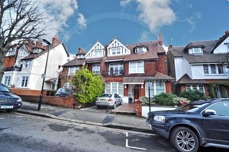
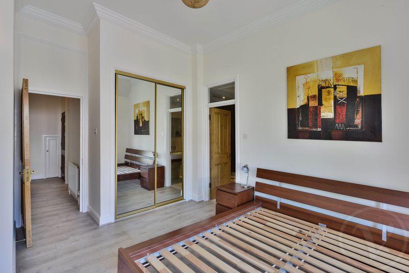
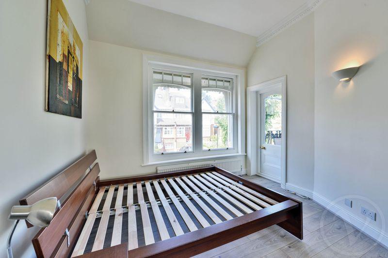
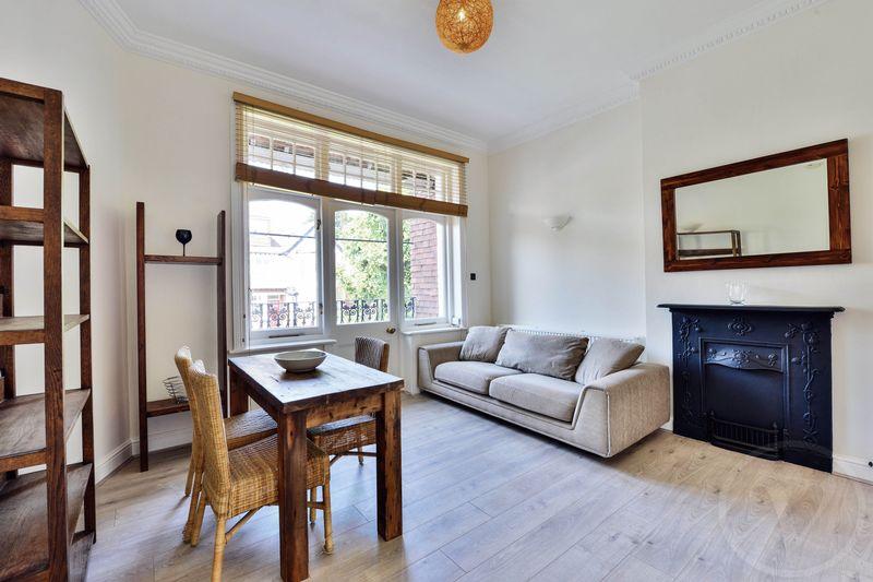
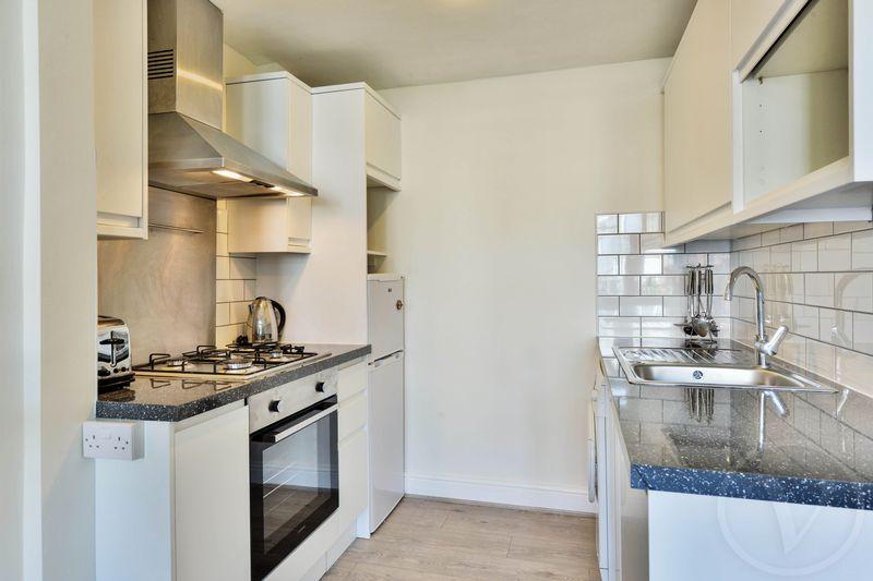
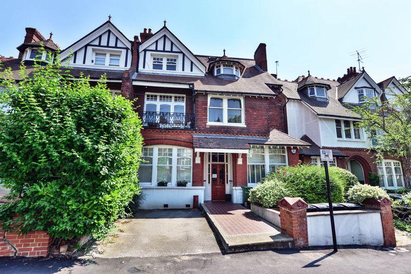
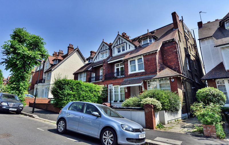
FLAT 4
52 CREDITON HILL, LONDON, GREATER LONDON NW6 1HR
£2,102 pcm

Property details
Floor area
62 m²
Year built
England and Wales: before 1900
Deprivation
Decile 8 (23,678 of 33,755)
Street crime
1013 incidents within 1 mile (Apr 2026)
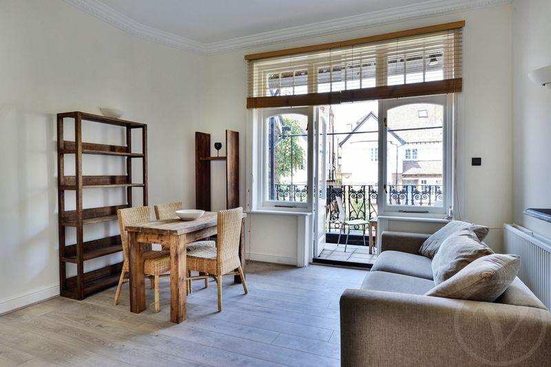
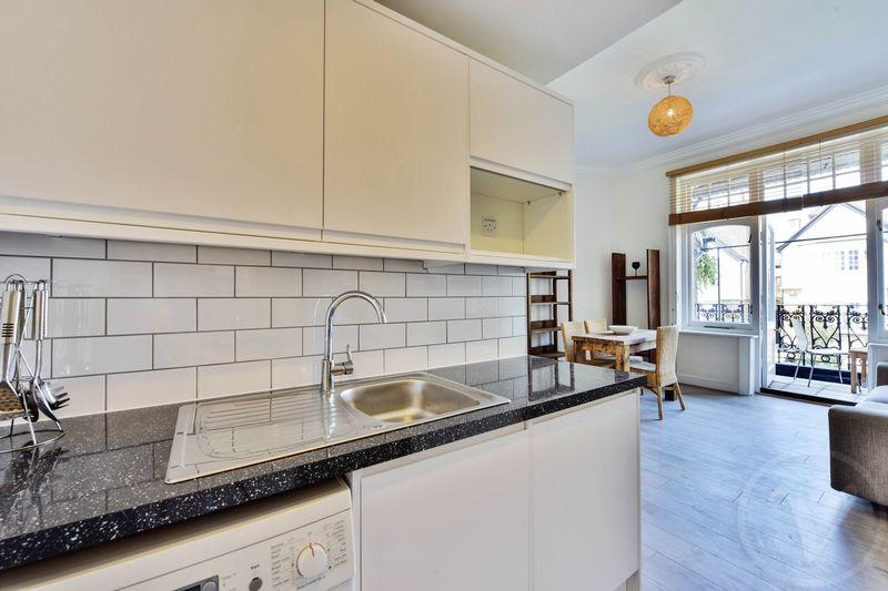
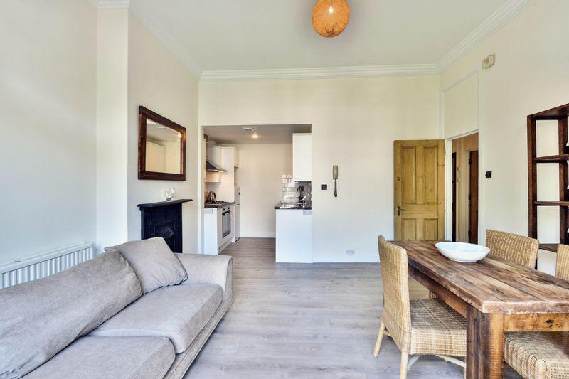
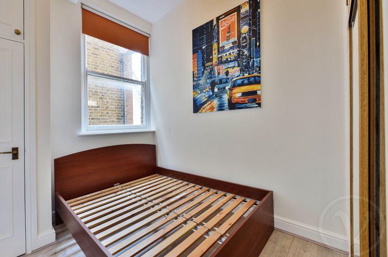
Key features
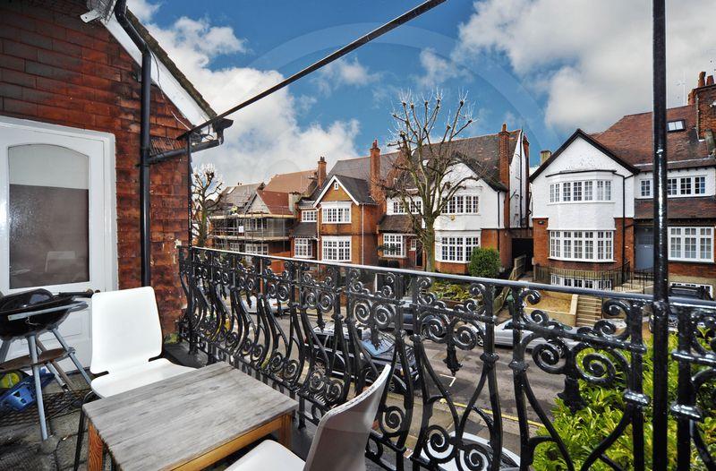
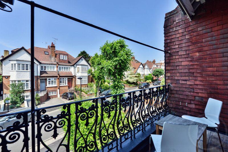
- Balcony
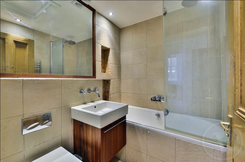
- 2 bathrooms
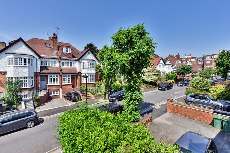
- Moments from transport and shops
- 1st floor
- Furnished or unfurnished
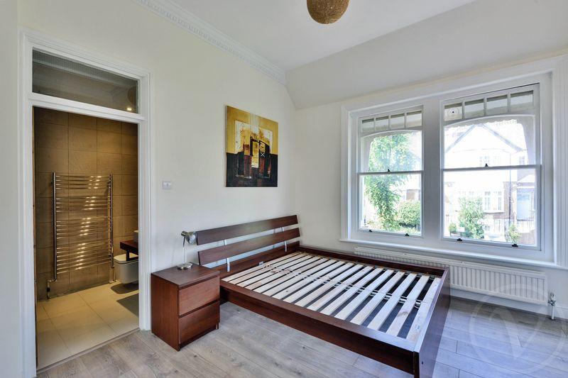
- High ceilings
- Available mid June
Description
Listed by
London
Vita Properties
Reference: 67014746
EPC Rating & Upgrade Cost
Fetching EPC data… Refresh this page in a moment.
Flood risk
Zone: 1
Risk: Low
Job (default Low)
Floorplans
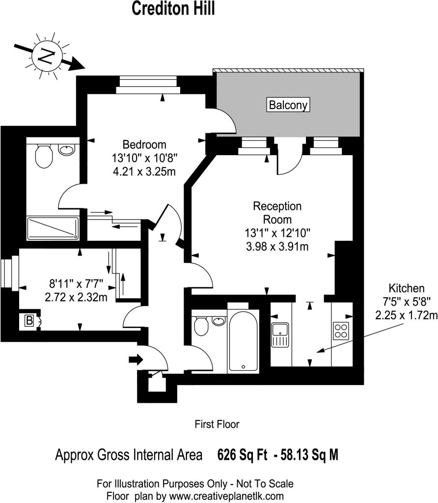
Floorplan 1
Company ownership
Registered legal owner is a company.
Company: 52 CREDITION HILL MANAGEMENT COMPANY LIMITED (04130620)
Rental Range
Estimated market rent for Camden. Low = conservative, Realistic = average, Optimistic = best case.
Based on Local Authority from postcode lookup → Camden.
LHA (30th percentile) floor for Inner North London: £1,789/mo (Apr 2025 – Mar 2026)
Location
Nearby
Nearest stations, universities and amenities (distance from property).
| Type | Name | Distance |
|---|---|---|
| Bus stop | Alvanley Gardens | 0.1 miles |
| Bus stop | West End Lane | 0.1 miles |
| Shop | All Aboard | 0.1 miles |
| Shop | GAIL's | 0.1 miles |
| Train station | Finchley Road & Frognal | 0.3 miles |
| Train station | West Hampstead Thameslink | 0.3 miles |
| University | Central Belsize Square | 0.9 miles |
| University | Kennet West Skills Centre | 1.9 miles |
| Hospital | The Portland Hospital | 2.8 miles |
| Hospital | Sleep & Health Clinic | 2.9 miles |
Street-level crime
| Category | Count |
|---|---|
| Anti-social behaviour | 224 |
| Violence and sexual offences | 210 |
| Shoplifting | 88 |
| Theft from the person | 85 |
| Other theft | 84 |
| Vehicle crime | 65 |
| Public order | 63 |
| Burglary | 53 |
| Criminal damage and arson | 53 |
| Drugs | 41 |
| Robbery | 24 |
| Bicycle theft | 8 |
| Other crime | 8 |
| Possession of weapons | 7 |
| Total incidents | 1013 |
Within 1 mile during Apr 2026. Source: data.police.uk (England & Wales).
Schools nearby
Nearest open schools with Ofsted ratings (England). Closed schools are not shown. Data from Get Information about Schools and Ofsted.
| Name | Type | Distance | Ofsted |
|---|---|---|---|
| Emmanuel Church of England Primary School | Primary | 0.2 miles | Good — 11 Feb 2019 |
| University College School | Other | 0.4 miles | — (No rating) |
| St Margaret's School | Other | 0.4 miles | — (No rating) |
| Southbank International School Hampstead | Other | 0.5 miles | — (No rating) |
| West Hampstead Primary School | Primary | 0.5 miles | Good — 10 Sep 2012 |
Rental Comparables
Residential lets from OpenRent and Rightmove for the area (same bedroom count). Use to validate rent estimates. Student lets are excluded.
| Title | Rent | Beds | Distance | As seen on |
|---|---|---|---|---|
| 2 Bed Flat, Pulse Apartments, NW6 | £3,500/mo | 2 | 0.22 miles | OpenRent |
Average rent: £3,500/mo (1 listing)