26 ST JOHNS
HINCKLEY, LEICESTERSHIRE LE10 1NX
£600 pcm
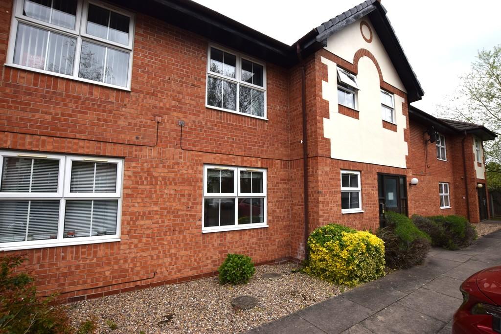
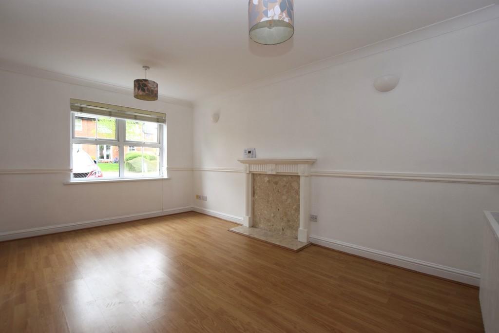
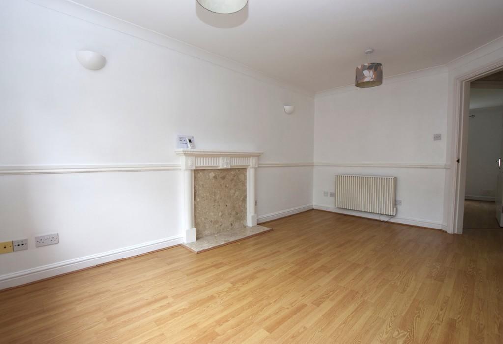
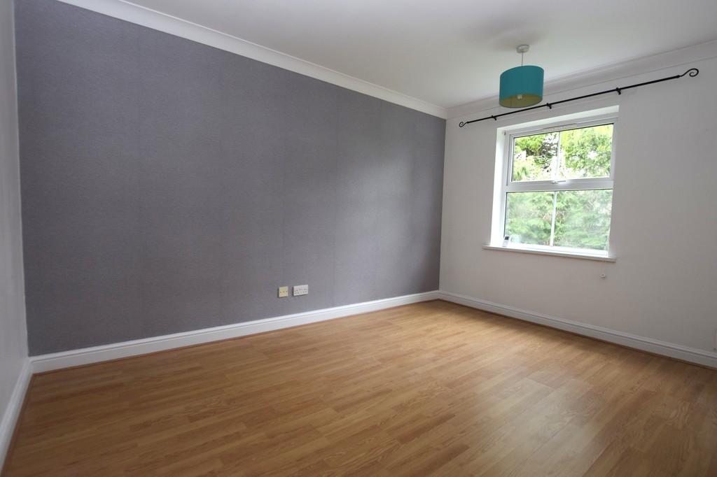
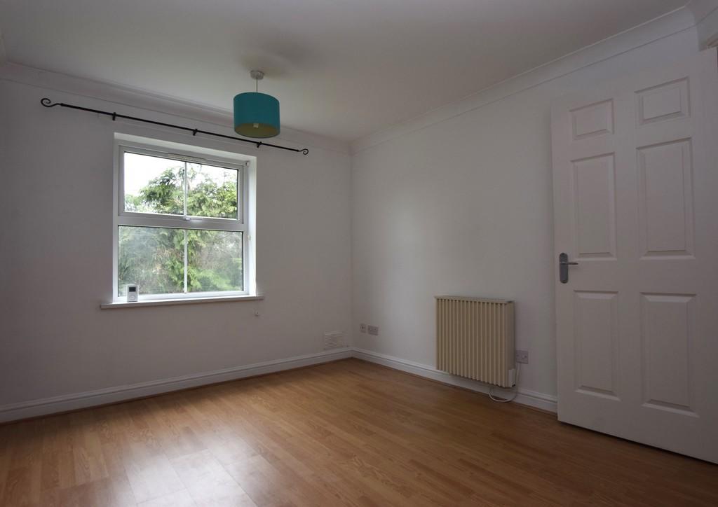
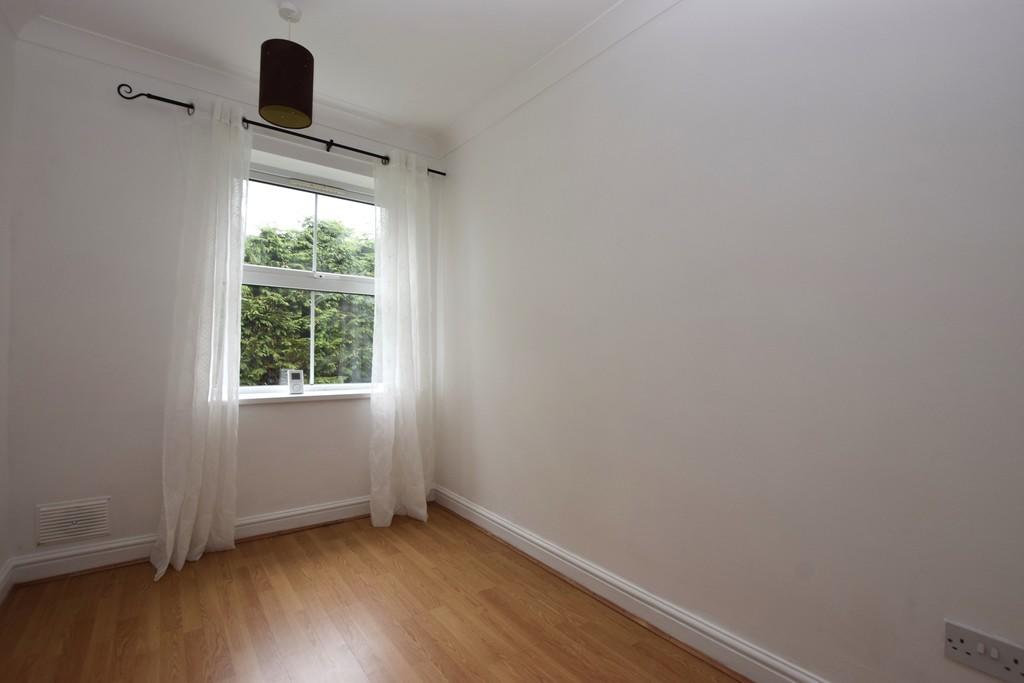
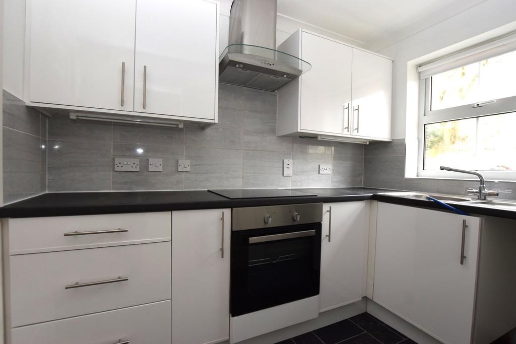
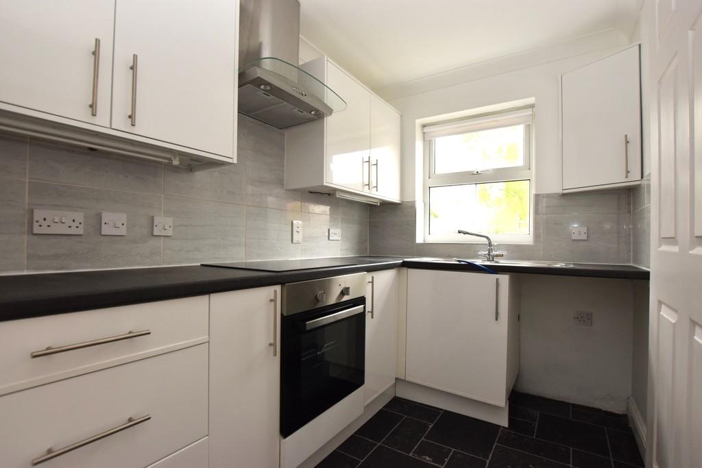
Photo 1 Photo 2 Photo 3 Photo 4 Photo 5 Photo 6 Photo 7 Photo 8
/ 8
Property details
Deprivation
Decile 4 (12,467 of 33,755)
Street crime
212 incidents within 1 mile (Mar 2026)
Key features
- GROUND FLOOR FLAT
- GATED COMPLEX
- CLOSE TO TOWN CENTRE
- LOUNGE DINER
- KITCHEN
- TWO BEDROOMS
- BATHROOM
- ALLOCATED PARKING
- ELECTRIC HEATING & DOUBLE GLAZING
- SORRY NO PETS
Additional details
- Parking
- Off street, Allocated
Description
Listed by
Hinckley & Nuneaton
The Property Franchise Group
Reference: 85057197
EPC Rating & Upgrade Cost
Fetching EPC data… Refresh this page in a moment.
Flood risk
Zone: 1
Risk: Low
Job (default Low)
EPC Graphs

EPC Front Page
Rental Range
Estimated market rent for Hinckley and Bosworth. Low = conservative, Realistic = average, Optimistic = best case.
Based on Local Authority from postcode lookup → Hinckley and Bosworth.
LHA (30th percentile) floor for Leicester: £648/mo (Apr 2025 – Mar 2026)
Location
Nearby
Nearest stations, universities and amenities (distance from property).
| Type | Name | Distance |
|---|---|---|
| Bus stop | De Montfort Road | 0.1 miles |
| Bus stop | New Street | 0.1 miles |
| Shop | Londis | 0.3 miles |
| Shop | Salon Eden | 0.4 miles |
| Train station | Hinckley | 0.8 miles |
| Train station | Shenton | 4.2 miles |
| Hospital | Stewart House | 7.0 miles |
| Hospital | George Elliot Medical Centre | 10.6 miles |
| University | Unknown | 11.2 miles |
Street-level crime
| Category | Count |
|---|---|
| Violence and sexual offences | 77 |
| Criminal damage and arson | 26 |
| Burglary | 19 |
| Anti-social behaviour | 17 |
| Other theft | 17 |
| Shoplifting | 16 |
| Drugs | 11 |
| Other crime | 8 |
| Public order | 7 |
| Possession of weapons | 6 |
| Vehicle crime | 6 |
| Robbery | 1 |
| Theft from the person | 1 |
| Total incidents | 212 |
Within 1 mile during Mar 2026. Source: data.police.uk (England & Wales).
Schools nearby
Nearest open schools with Ofsted ratings (England). Closed schools are not shown. Data from Get Information about Schools and Ofsted.
| Name | Type | Distance | Ofsted |
|---|---|---|---|
| Hinckley Parks Primary School | Primary | 0.2 miles | Good — 4 Sep 2014 |
| Saint Peter's Catholic Primary School, A Voluntary Academy | Primary | 0.3 miles | Good — 11 Jun 2013 |
| St Mary's Church of England Primary School, Hinckley | Primary | 0.5 miles | Good — 3 Oct 2023 |
| The Hinckley School | Secondary | 0.6 miles | Good — 16 Oct 2023 |
| R.E.A.L Independent Schools Hinckley | Other | 0.6 miles | Good — 14 Nov 2021 |
Rental Comparables
Residential lets from OpenRent and Rightmove for the area (same bedroom count). Use to validate rent estimates. Student lets are excluded.
| Title | Rent | Beds | Distance | As seen on |
|---|---|---|---|---|
| 2 Bed Terraced House, Albert Road, LE10 | £950/mo | 2 | 0.29 miles | OpenRent |
| 2 Bed Flat, Stamford House. Hill Street., LE10 | £850/mo | 2 | 0.34 miles | OpenRent |
| 2 Bed Terraced House, Ashby Road, LE10 | £950/mo | 2 | 0.36 miles | OpenRent |
| 2 Bed Penthouse, Fairways Court, LE10 | £1,475/mo | 2 | 0.92 miles | OpenRent |
| 2 Bed Flat, Zahra Court, LE10 | £1,200/mo | 2 | 1.04 miles | OpenRent |
Average rent: £1,085/mo (5 listings)