59 CARRON STREET
STOKE-ON-TRENT, STOKE-ON-TRENT ST4 3DT
£715 pcm
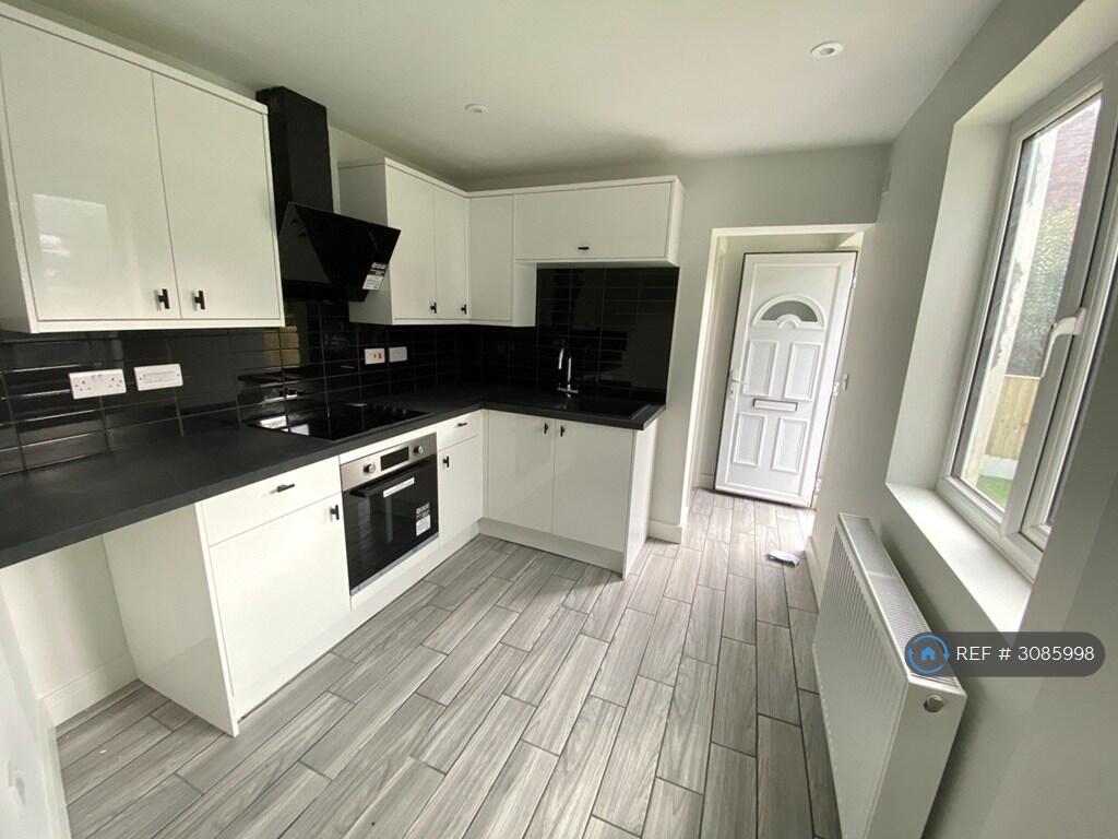
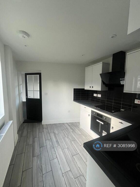
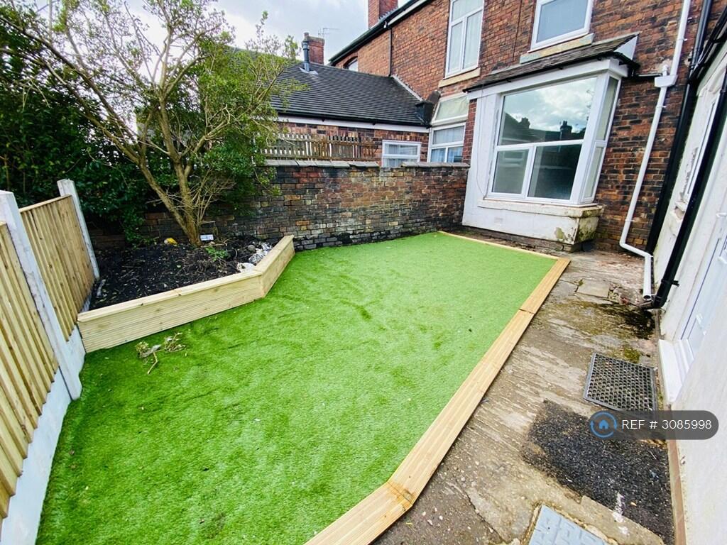
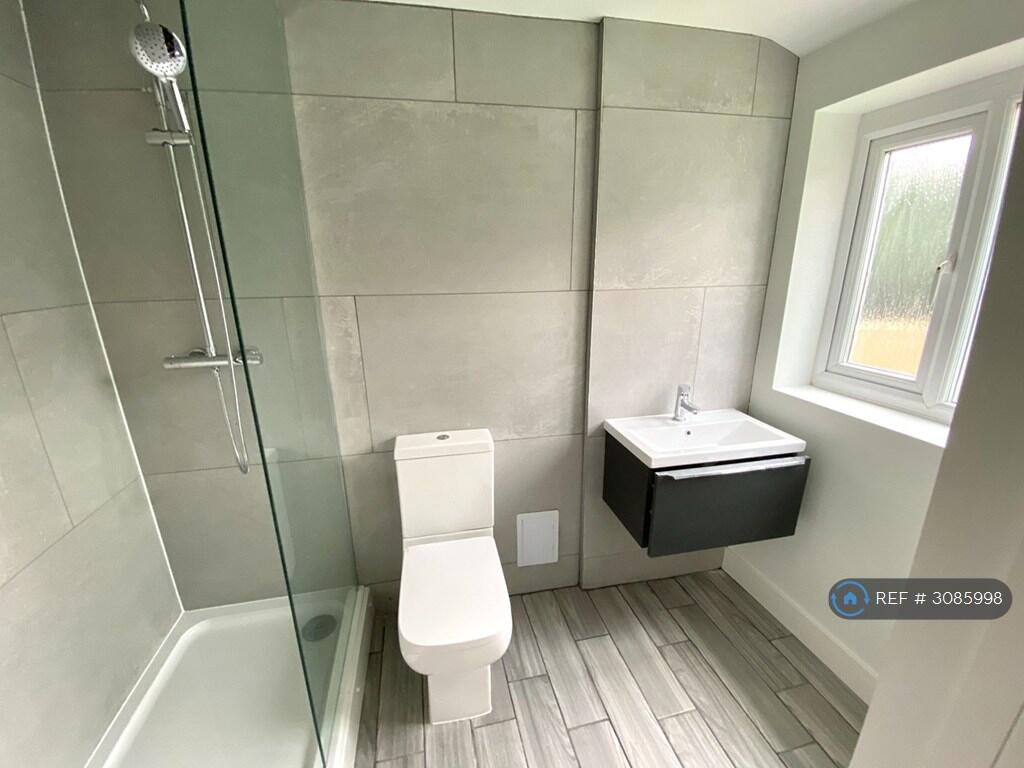
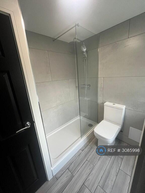
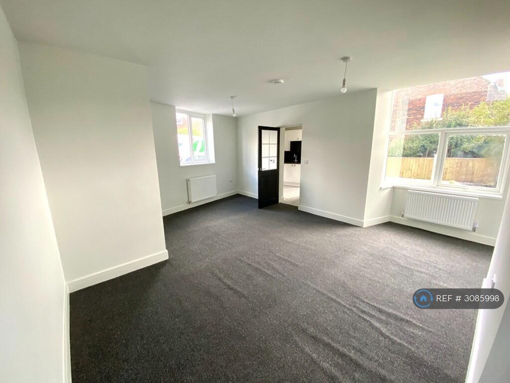
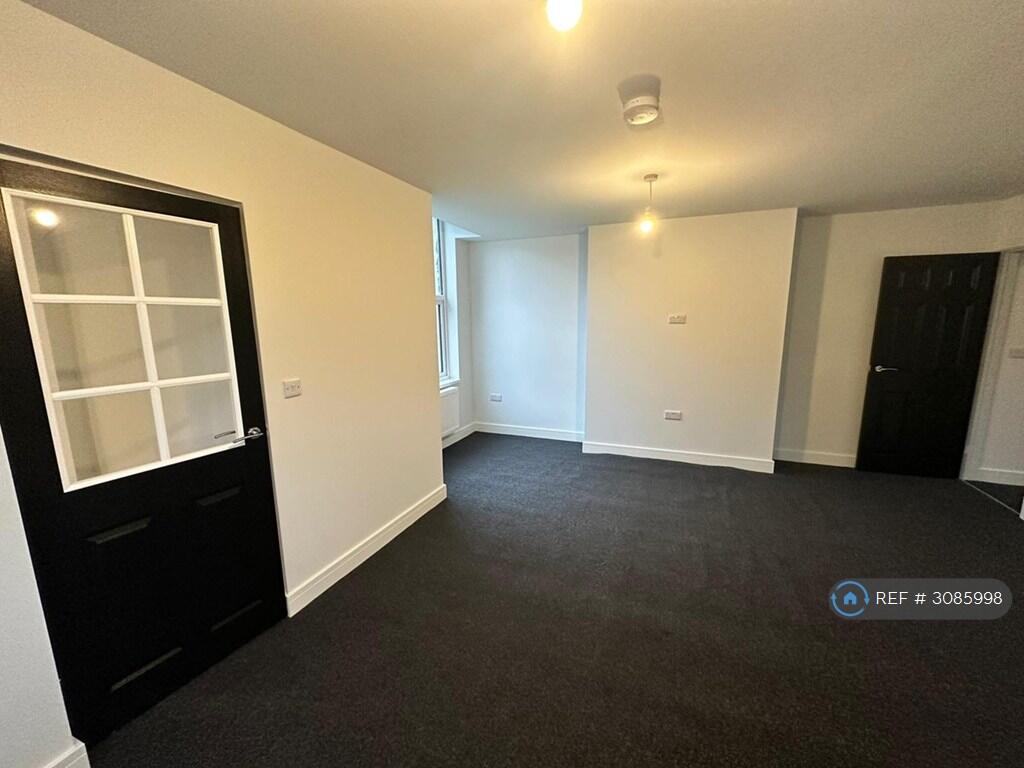
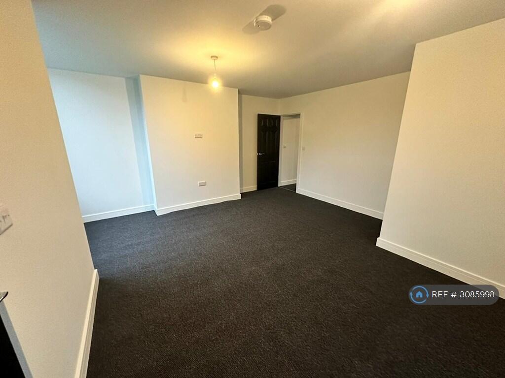
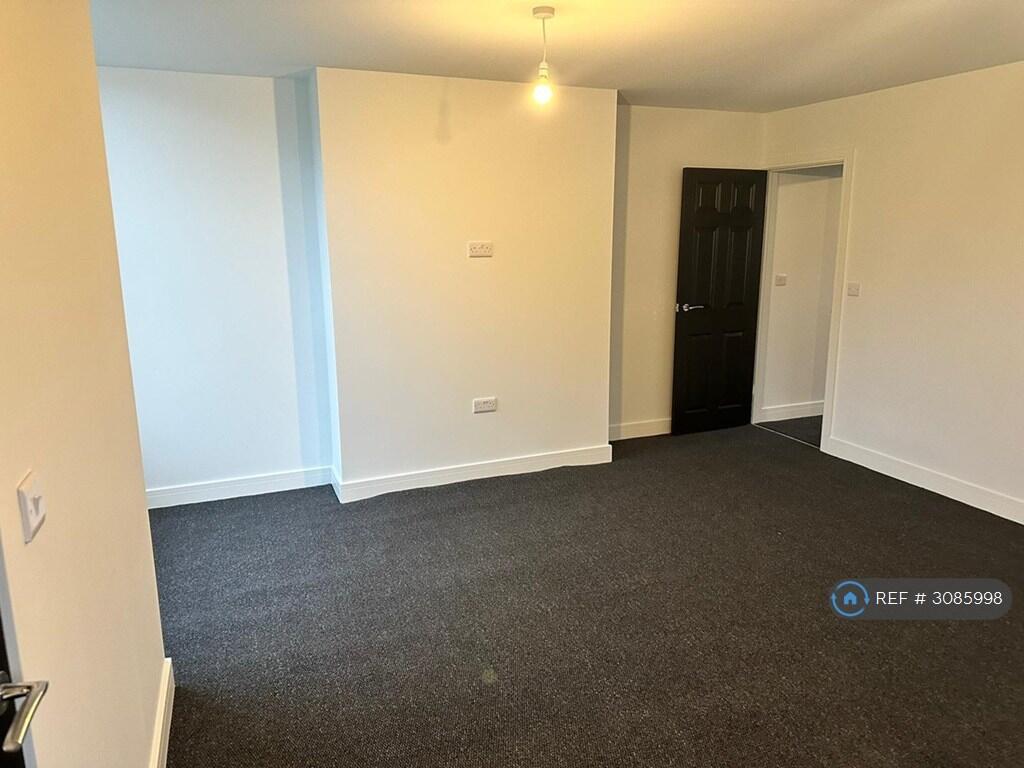
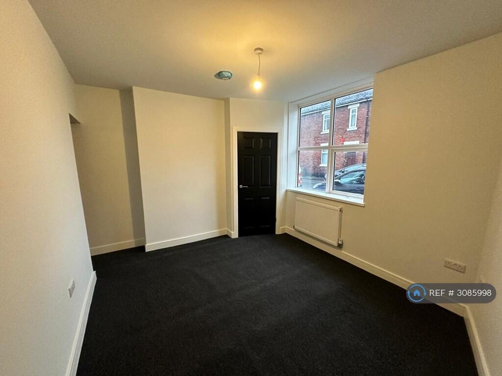
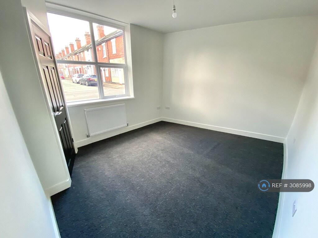
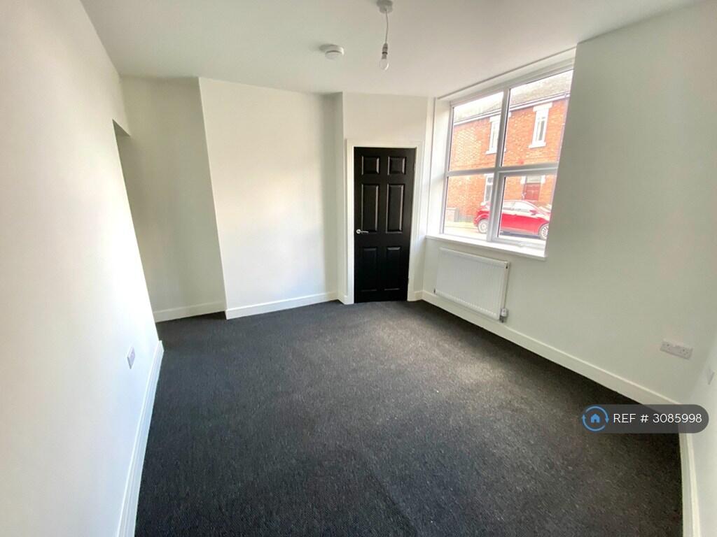
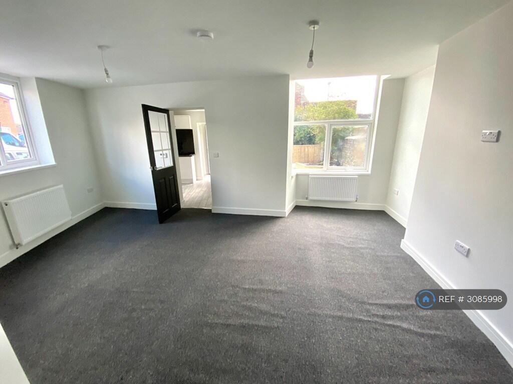
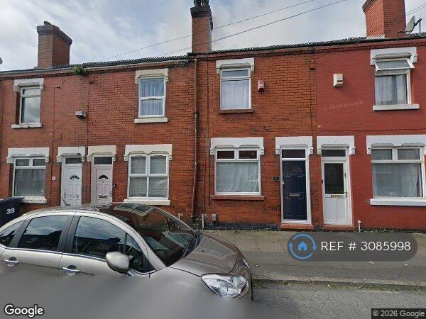
Photo 1 Photo 2 Photo 3 Photo 4 Photo 5 Photo 6 Photo 7 Photo 8 Photo 9 Photo 10 Photo 11 Photo 12 Photo 13 Photo 14
/ 14
Property details
Floor area
78 m²
Deprivation
Decile 2 (5,489 of 33,755)
Street crime
409 incidents within 1 mile (Aug 2026)
Key features
- No Agent Fees
- Students Can Enquire
- Property Reference Number: 3085998
Additional details
- Parking
- Private
- Garden
- Private garden
Description
newly refurbished!
large ground floor flat
modern high end spec.
garden
on road parking
Summary & Exclusions:
- Rent Amount: £715.00 per month (£165.00 per week)
- Deposit / Bond: £715.00
- 1 Bedrooms
- 1 Bathrooms
- Property comes unfurnished
- Available to move in from 28 December 2026
- Maximum number of tenants is 3
- Students welcome to enquire
- Smokers considered
- Bills not included
- Property has parking
- Property has garden access
- EPC Rating: C
If calling, please quote reference: 3085998
Fees:
You will not be charged any admin fees.
Contact today to book a viewing and have the landlord show you round!
Request Details form responded to 24/7, with phone bookings available 9am-9pm, 7 days a week.
Listed by
London
Techbeard Ltd
Reference: 94712862
Flood risk
Zone: 1
Risk: Low
Job (default Low)
Registered land (INSPIRE)
This location falls inside an HM Land Registry INSPIRE registered freehold polygon.
Building plot (shared): ~82 m² (0.02 acres) (area is for the building, not the flat)
Source: HM Land Registry INSPIRE Index Polygons.
Rental Range
Estimated market rent for Stoke-on-Trent. Low = conservative, Realistic = average, Optimistic = best case.
Based on Local Authority from postcode lookup → Stoke-on-Trent.
LHA (30th percentile) floor for Staffordshire North: £424/mo (Apr 2025 – Mar 2026)
Location
Nearby
Nearest stations, universities and amenities (distance from property).
| Type | Name | Distance |
|---|---|---|
| Shop | UK Barbers | 0.2 miles |
| Shop | The Van Depot | 0.2 miles |
| Bus stop | Unknown | 0.2 miles |
| Train station | Longton | 0.4 miles |
| Train station | Stoke-on-Trent | 1.9 miles |
| Hospital | Royal Stoke University Hospital | 3.0 miles |
| Hospital | North Staffordshire Hospital | 3.4 miles |
| University | Keele University | 5.4 miles |
| University | Buxton & Leek College | 9.2 miles |
Street-level crime
| Category | Count |
|---|---|
| Violence and sexual offences | 112 |
| Anti-social behaviour | 90 |
| Shoplifting | 69 |
| Criminal damage and arson | 39 |
| Public order | 30 |
| Burglary | 19 |
| Other theft | 10 |
| Vehicle crime | 9 |
| Other crime | 8 |
| Drugs | 6 |
| Possession of weapons | 6 |
| Robbery | 6 |
| Bicycle theft | 3 |
| Theft from the person | 2 |
| Total incidents | 409 |
Within 1 mile during Aug 2026. Source: data.police.uk (England & Wales).
Schools nearby
Nearest open schools with Ofsted ratings (England). Closed schools are not shown. Data from Get Information about Schools and Ofsted.
| Name | Type | Distance | Ofsted |
|---|---|---|---|
| Co-Op Academy Clarice Cliff | Primary | 0.2 miles | Requires improvement — 18 Jan 2024 |
| St Thomas More Catholic Academy | Secondary | 0.5 miles | Good — 8 Jun 2017 |
| Sandford Hill Primary School | Primary | 0.6 miles | Good — 15 Nov 2023 |
| Gladstone Primary Academy | Primary | 0.6 miles | Good — 18 Apr 2013 |
| Co-op Academy Glebe | Primary | 0.7 miles | Outstanding — 16 Jul 2024 |
Rental Comparables
Residential lets from OpenRent and Rightmove for the area (same bedroom count). Use to validate rent estimates. Student lets are excluded.
Average rent: £727/mo (33 listings)