11 LIME TREE WALK
AMERSHAM, BUCKINGHAMSHIRE HP7 9HY
£2,600 pcm
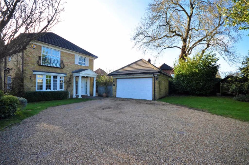
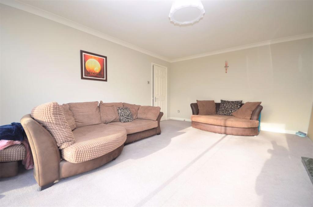
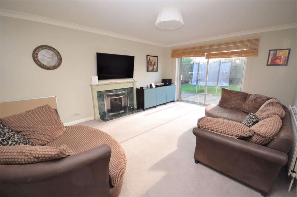
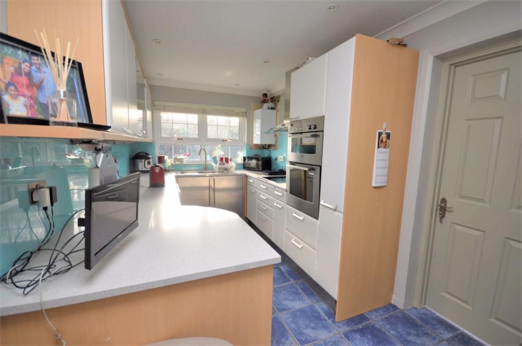
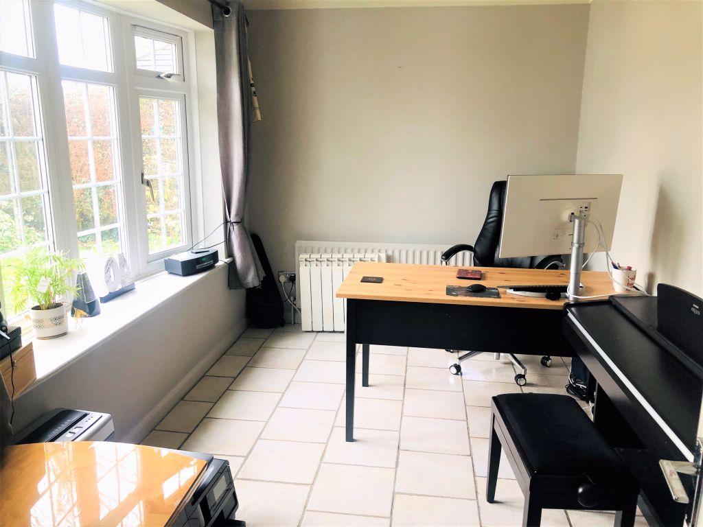
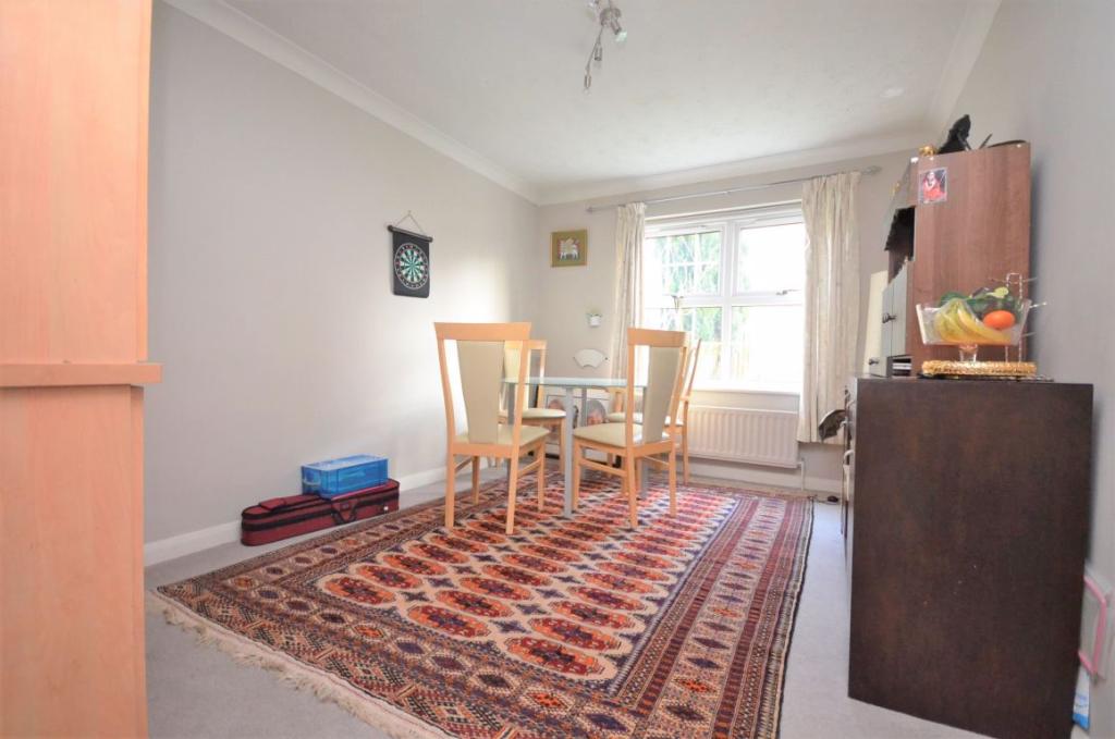
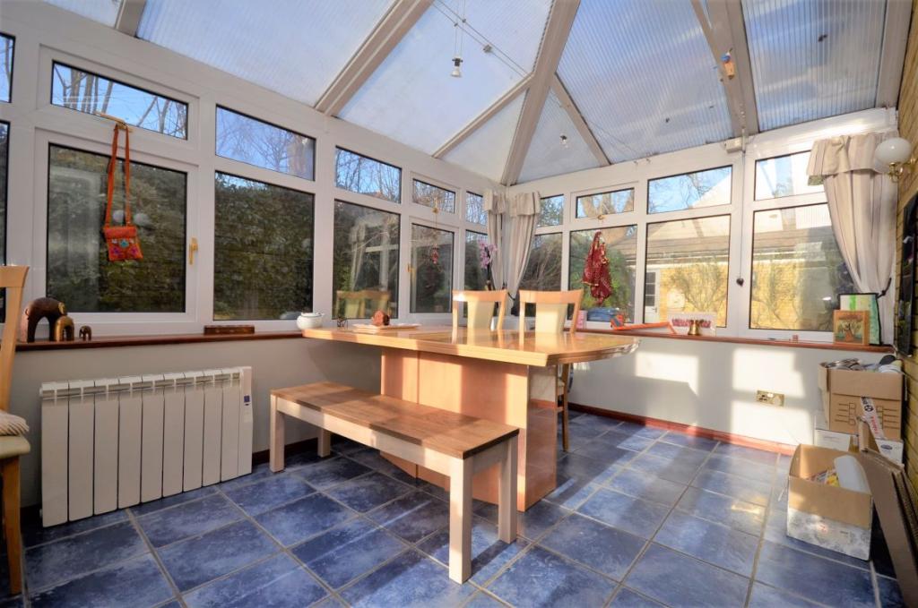
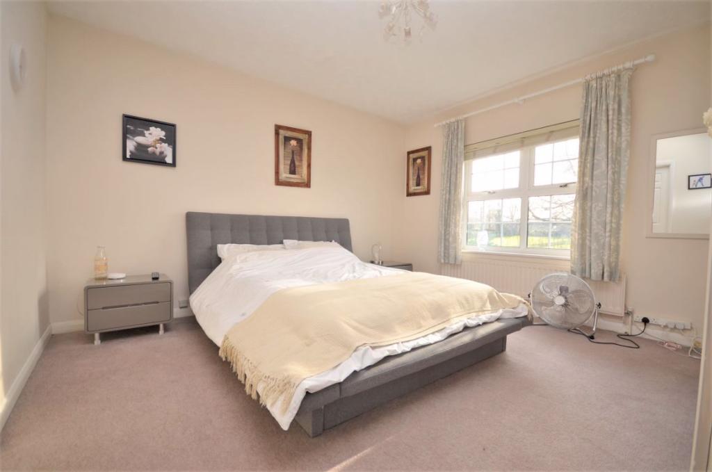
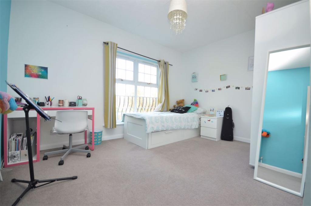
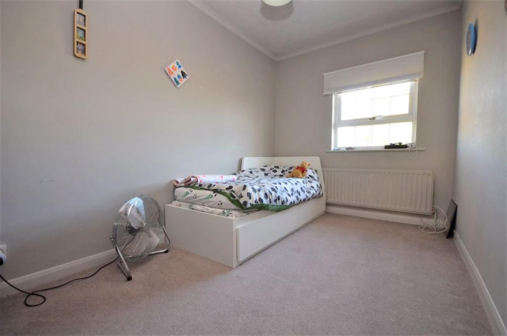
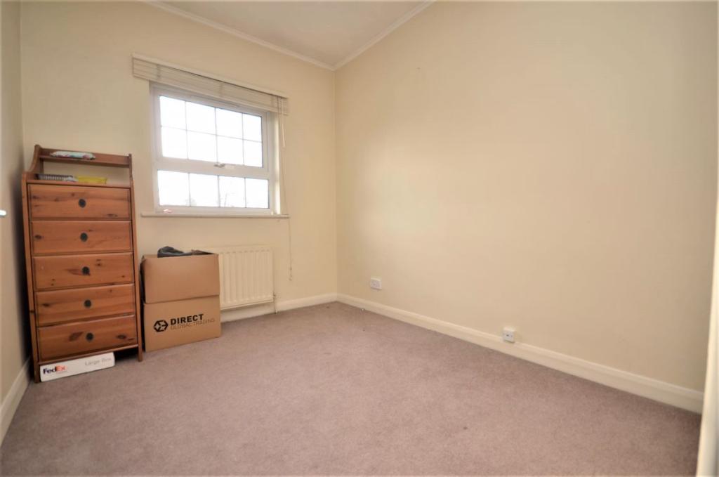
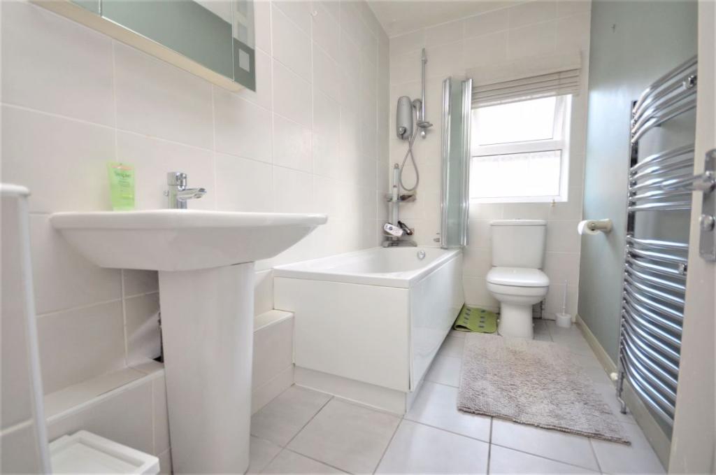
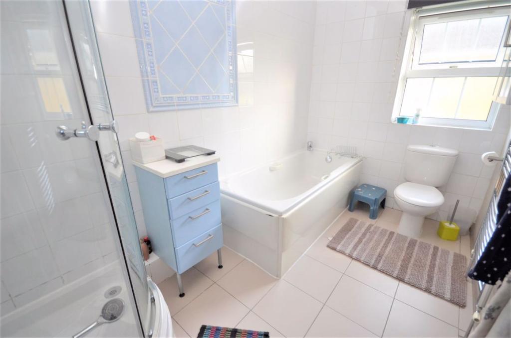
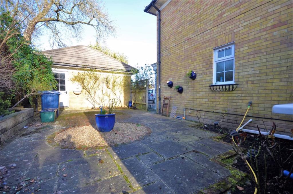
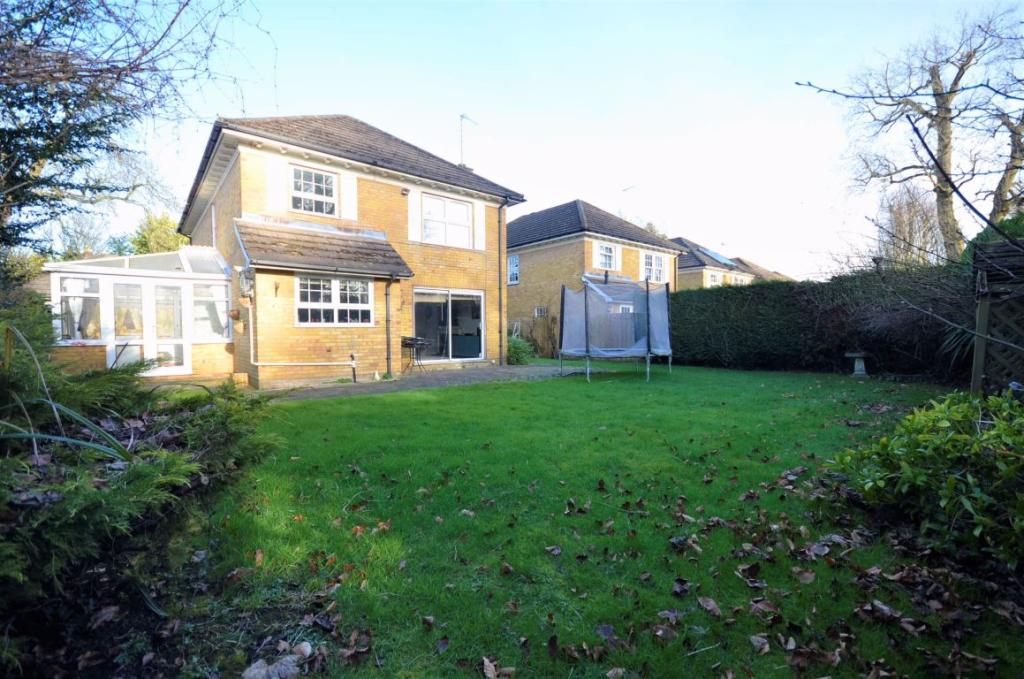
Photo 1 Photo 2 Photo 3 Photo 4 Photo 5 Photo 6 Photo 7 Photo 8 Photo 9 Photo 10 Photo 11 Photo 12 Photo 13 Photo 14 Photo 15
/ 15
Property details
Floor area
141 m²
EPC rating
D
Year built
England and Wales: 1976-1982
Deprivation
Decile 10 (33,599 of 33,755)
Street crime
71 incidents within 1 mile (Apr 2026)
Additional details
- Parking
- Yes
- Garden
- Yes
Description
Entrance Hall * Living Room * Dining Room * Kitchen * Study * Conservatory * Cloakroom * Bathroom * 4 bedrooms (master with en-suite * Private Enclosed Garden * Off-Street Parking and Detached Double Garage
Listed by
Amersham
AIG (KH) LTD - LSL Franchise
Reference: 77478703
EPC Rating & Upgrade Cost
Current rating: D
Potential rating: B
Inspection date: 08/02/2018
Expiry date: 07/02/2028
Current heating cost: £917/year
Potential heating cost: £647/year
Est. upgrade cost to C: £17,500
Recommendations
- Cavity wall insulation (£500 - £1,500)
- Floor insulation (solid floor) (£4,000 - £6,000)
- Solar water heating (£4,000 - £6,000)
- Solar photovoltaic panels, 2.5 kWp (£5,000 - £8,000)
Flood risk
Zone: 1
Risk: Low
Job (default Low)
FENSA Certificates
This property has 1 FENSA certificate(s) on record, indicating window/door installations by FENSA-approved installers.
FENSA Certificate #291415
Property Details
Street: 11 Lime Tree Walk
Town: AMERSHAM
Postcode: HP7 9HY
Installation Details
Items: 6 windows
Certificate Issued: 16/01/2003
Work Completed: 15/11/2002
This certificate data was retrieved from FENSA's database
What is FENSA? FENSA (Fenestration Self-Assessment Scheme) is a government-authorised scheme that monitors building regulation compliance for replacement windows and doors. Certificates indicate that work was completed by FENSA-approved installers.
Rental Range
Estimated market rent for Buckinghamshire. Low = conservative, Realistic = average, Optimistic = best case.
Based on Local Authority from postcode lookup → Buckinghamshire.
LHA (30th percentile) floor for Chilterns: £1,995/mo (Apr 2025 – Mar 2026)
Location
Nearby
Nearest stations, universities and amenities (distance from property).
| Type | Name | Distance |
|---|---|---|
| Bus stop | Unknown | 0.0 miles |
| Shop | One Stop | 0.1 miles |
| Shop | Prestige Tool and Plant Hire | 0.1 miles |
| Bus stop | Plantation Road | 0.2 miles |
| Train station | Amersham | 0.7 miles |
| Train station | Chalfont & Latimer | 1.3 miles |
| Hospital | Amersham Hospital | 1.5 miles |
| University | Buckinghamshire New University | 2.5 miles |
| Hospital | Chalfont Centre for Epilepsy | 3.9 miles |
| University | National Film and Television School | 5.0 miles |
Street-level crime
| Category | Count |
|---|---|
| Violence and sexual offences | 36 |
| Shoplifting | 7 |
| Vehicle crime | 7 |
| Anti-social behaviour | 6 |
| Public order | 6 |
| Other crime | 4 |
| Criminal damage and arson | 3 |
| Other theft | 2 |
| Total incidents | 71 |
Within 1 mile during Apr 2026. Source: data.police.uk (England & Wales).
Schools nearby
Nearest open schools with Ofsted ratings (England). Closed schools are not shown. Data from Get Information about Schools and Ofsted.
| Name | Type | Distance | Ofsted |
|---|---|---|---|
| St George's Church of England Infant School | Primary | 0.0 miles | Good — 25 Jun 2012 |
| Stony Dean School | Other | 0.2 miles | Outstanding — 21 Jan 2015 |
| Henry Allen Nursery School | Nursery | 0.3 miles | Outstanding — 1 Jul 2024 |
| Woodside Junior School | Primary | 0.3 miles | Good — 27 Feb 2012 |
| Amersham School | Secondary | 0.3 miles | Good — 21 Apr 2016 |
Rental Comparables
Loading rental comparables for this postcode. Refresh in a few minutes.