63 CROMWELL ROAD
BANBURY, OXFORDSHIRE OX16 0HE
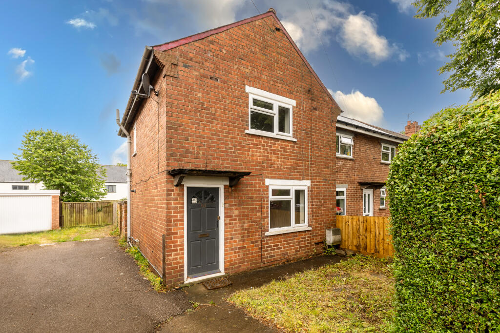
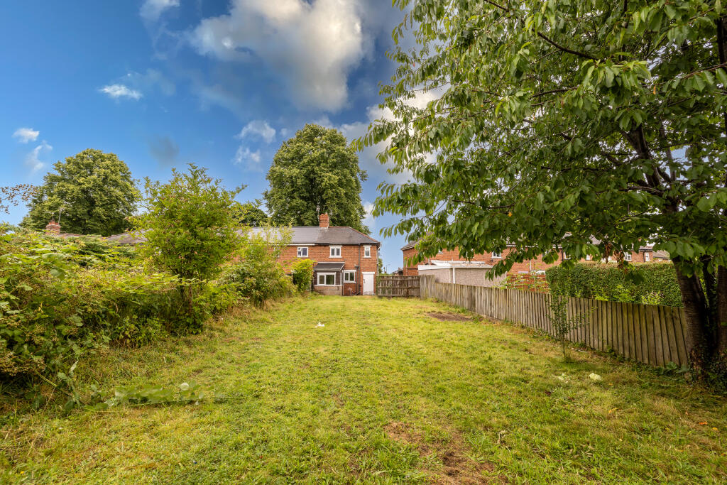
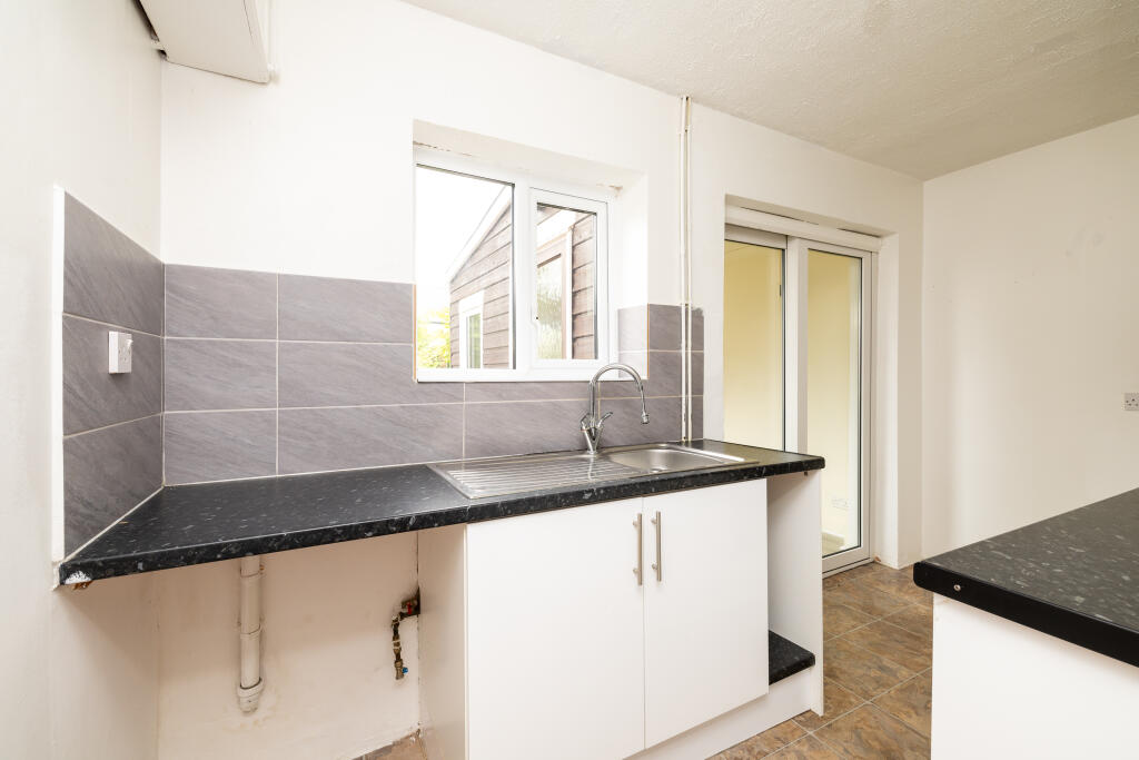
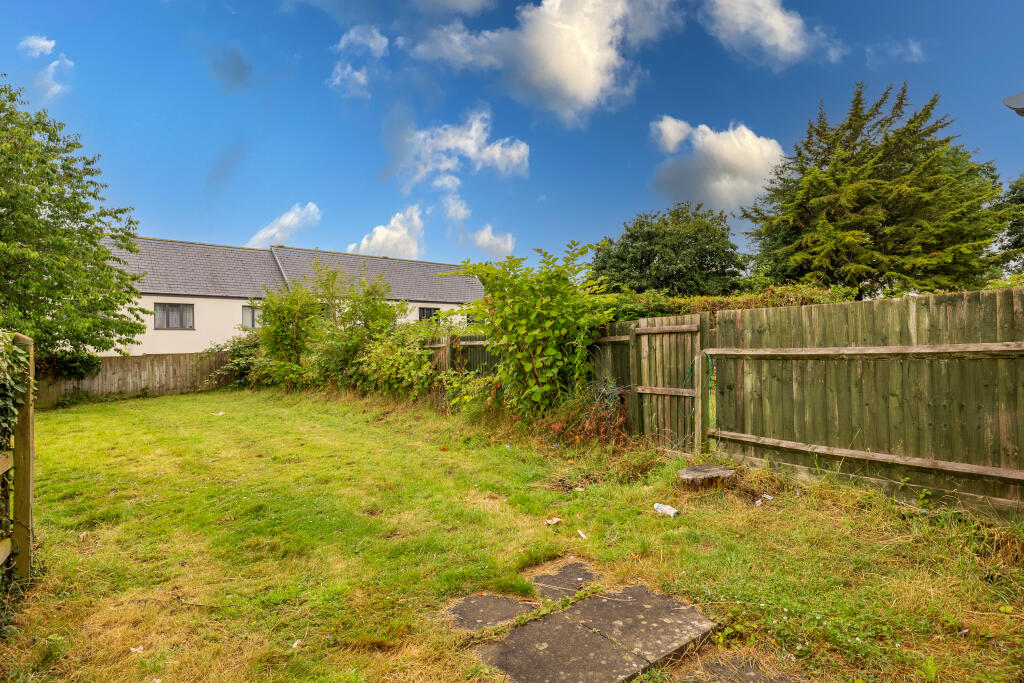
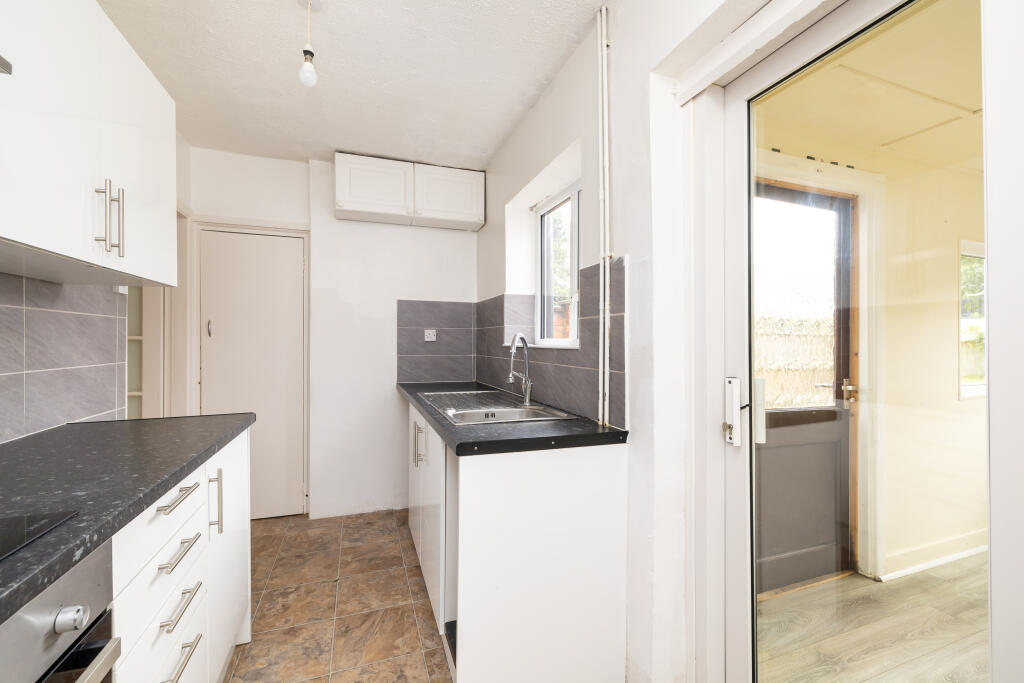
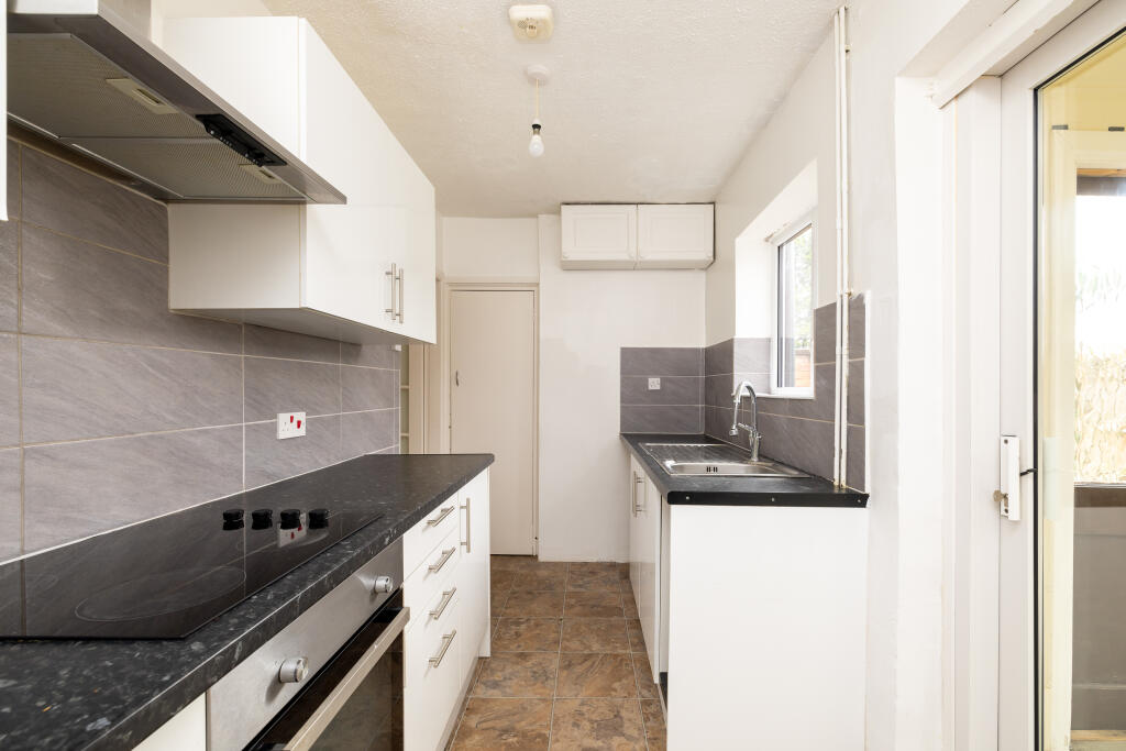
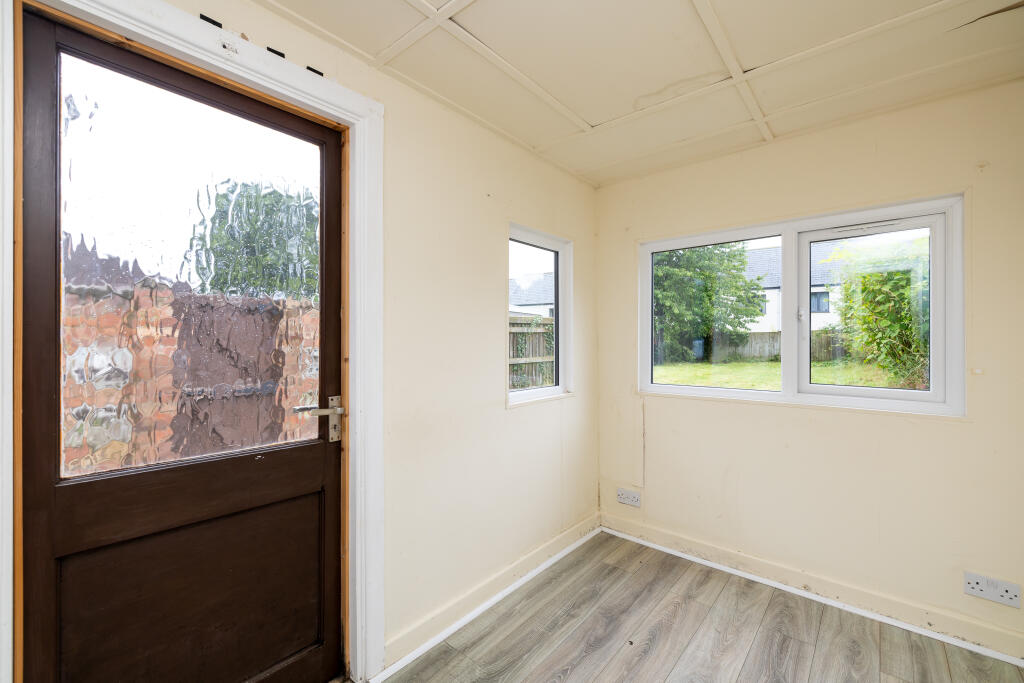
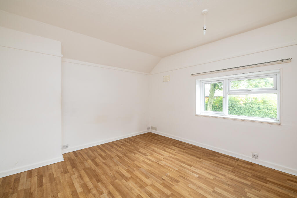
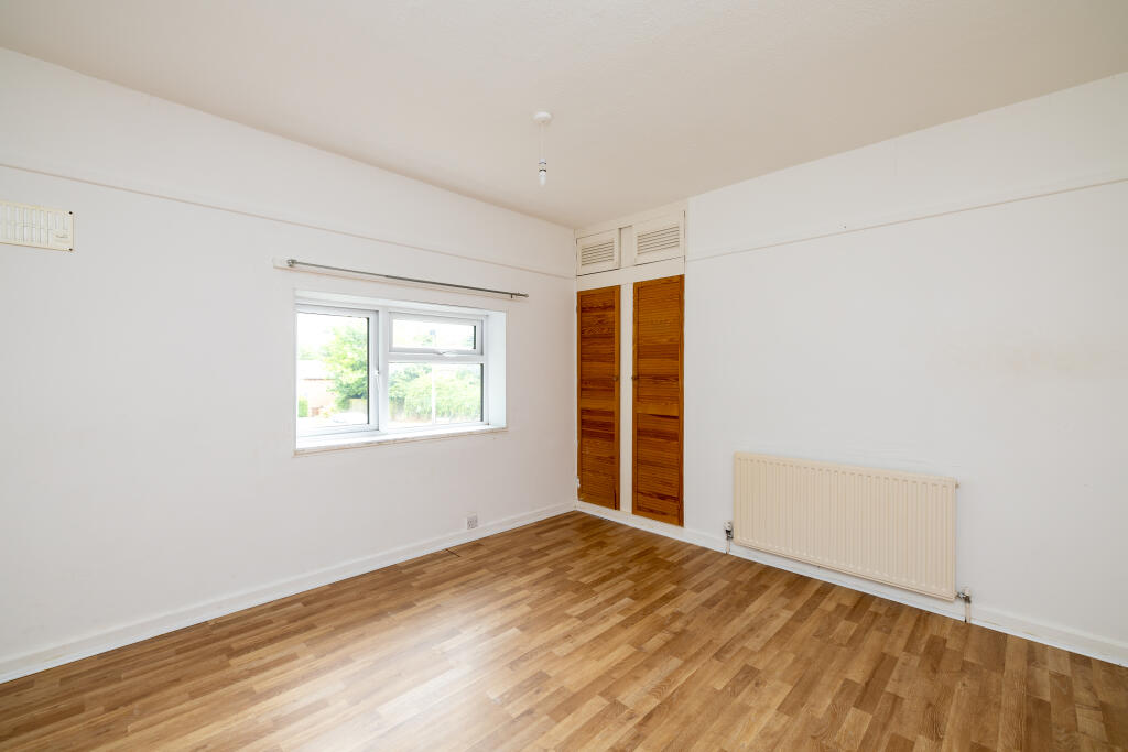
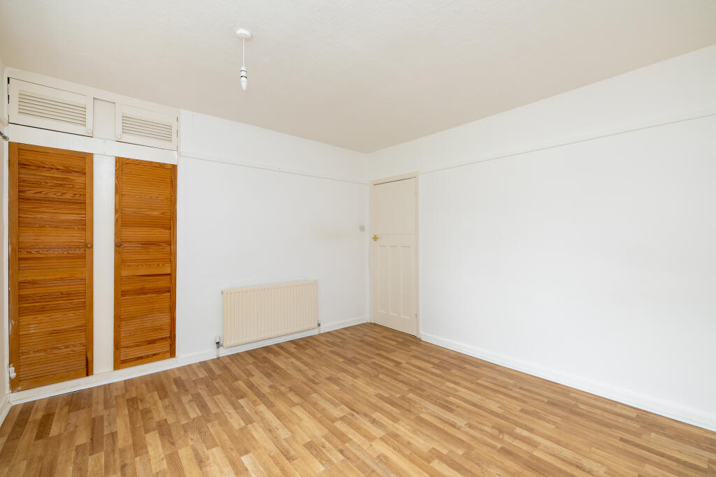
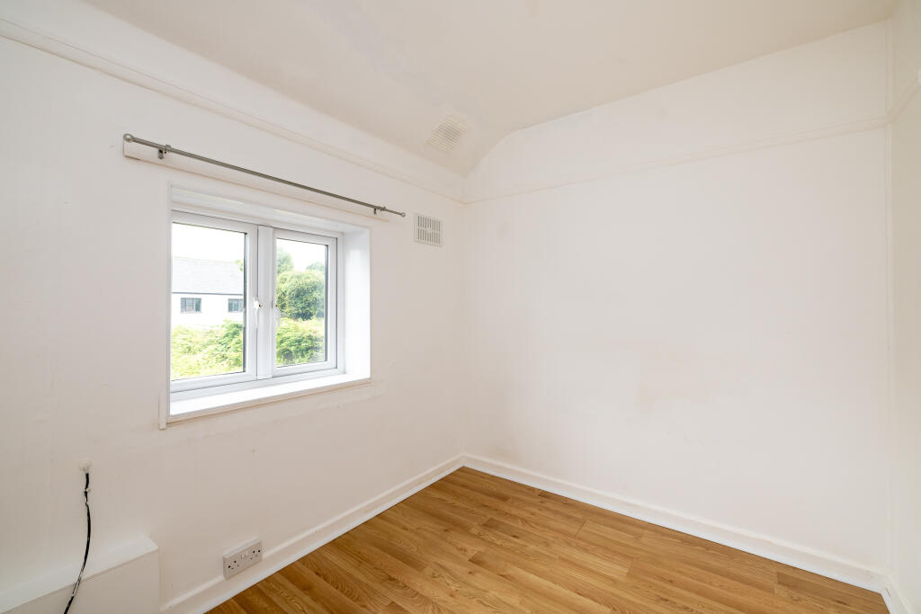
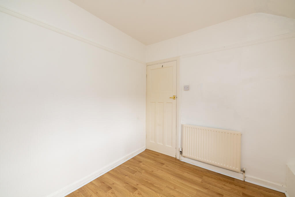
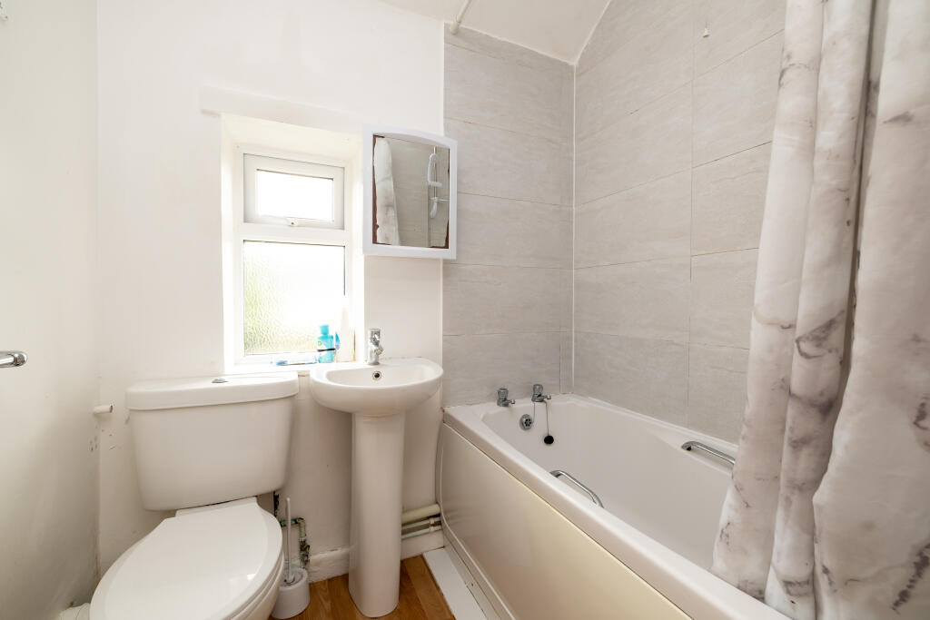
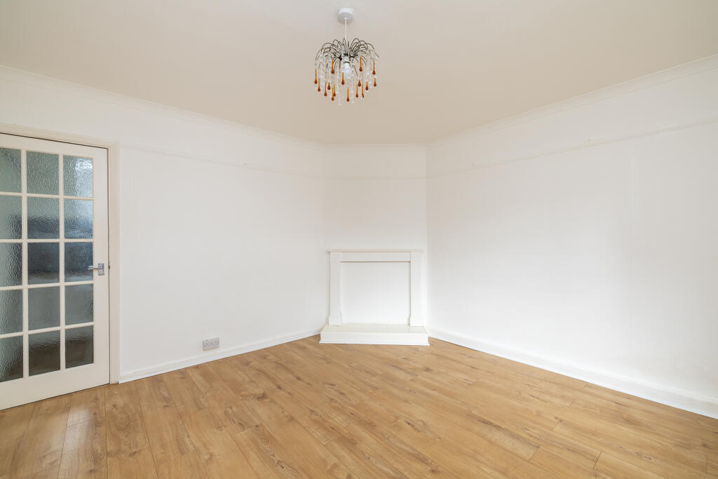
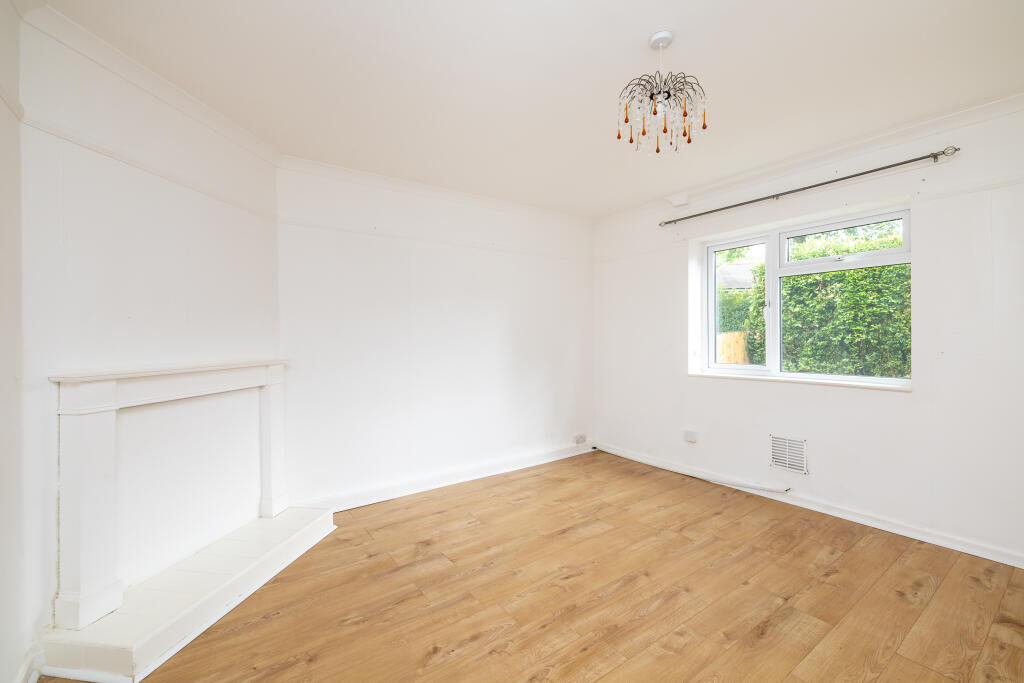
Photo 1 Photo 2 Photo 3 Photo 4 Photo 5 Photo 6 Photo 7 Photo 8 Photo 9 Photo 10 Photo 11 Photo 12 Photo 13 Photo 14 Photo 15
/ 15
Property details
Floor area
64 m²
EPC rating
C
Year built
England and Wales: 1950-1966
Last sold
£212,000 Nov 2024
Price per m²
£3,281/m²
Local average
£241,273 (-13%)
Deprivation
Decile 3 (8,140 of 33,755)
Street crime
281 incidents within 1 mile (Apr 2026)
Key features
- NO ONWARD CHAIN
- GENEROUS SIZED ENCLOSED REAR GARDEN
- DRIVEWAY PARKING
- MODERN KITCHEN
- CLOSE TO TOWN CENTRE
Additional details
- Parking
- Yes
- Garden
- Yes
Description
The property features a spacious enclosed rear garden, perfect for outdoor entertaining or gardening. The driveway parking space provides convenience.
Inside, you'll find a well-maintained interior a modern kitchen, two double bedrooms, a bright and airy living room and family bathroom. There is also garden room/dining room off the kitchen.
Located just off the Warwick Road, this property offers a perfect location for commuters or those without a car as Banbury town centre and Railway Station is close by. Don't miss out on this opportunity to own a piece of Banbury!
Contact us today for more information or to schedule a viewing. Offered at Offers Over £210,000, this property won't last long!
Listed by
Mayfair
Maurice MacNeill Iona Limited
Reference: 150286757
EPC Rating & Upgrade Cost
Current rating: C
Potential rating: B
Inspection date: 23/05/2023
Expiry date: 22/05/2033
Current heating cost: £1,001/year
Potential heating cost: £921/year
Est. upgrade cost to C: £10,500
Recommendations
- Floor insulation (suspended floor) (£800 - £1,200)
- Solar water heating (£4,000 - £6,000)
- Solar photovoltaic panels, 2.5 kWp (£3,500 - £5,500)
Flood risk
Zone: 1
Risk: Low
Job (default Low)
Floorplans
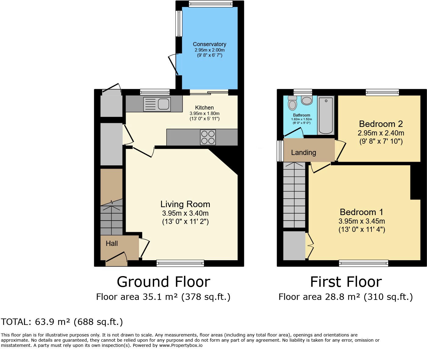
Floorplan 1
Price history
| Event | Date | Price | % change |
|---|---|---|---|
| Sold | 08/11/2024 (1 year ago) | £212,000 | — |
Source: HM Land Registry Price Paid Data. Crown copyright.
Sold Comparables
Same street and nearby sales within 0.25 miles (last 5 years). Data from Land Registry Price Paid.
| Address | Price | Date | Type |
|---|---|---|---|
| 43 CROMWELL ROAD, BANBURY, CHERWELL, OXFORDSHIRE, OX16 0HE | £212,000 | 31/05/2023 | Terraced |
| 8 PRESCOTT CLOSE, BANBURY, CHERWELL, OXFORDSHIRE, OX16 0RD | £275,000 | 21/02/2023 | Terraced |
| 114 THE FAIRWAY, BANBURY, CHERWELL, OXFORDSHIRE, OX16 0RB | £170,000 | 08/10/2021 | Terraced |
| 59 THE FAIRWAY, BANBURY, CHERWELL, OXFORDSHIRE, OX16 0RR | £260,000 | 30/09/2021 | Terraced |
| 28 ABBEY ROAD, BANBURY, CHERWELL, OXFORDSHIRE, OX16 0HQ | £220,000 | 01/07/2021 | Terraced |
Area average: £227,400 (5 sales)
Capital growth trend
Land Registry outcode average: last 12 months vs 5y and 10y ago (from sold prices).
House Price Index (HM Land Registry — official index, not sold-price averages): Cherwell. Series: Terraced. As of March 2026.
Rental Range
Estimated market rent for Cherwell. Low = conservative, Realistic = average, Optimistic = best case.
Based on Local Authority from postcode lookup → Cherwell.
LHA (30th percentile) floor for Cherwell Valley: £947/mo (Apr 2025 – Mar 2026)
Location
Nearby
Nearest stations, universities and amenities (distance from property).
| Type | Name | Distance |
|---|---|---|
| Bus stop | Abbey Road | 0.1 miles |
| Bus stop | The Link | 0.1 miles |
| Shop | Unknown | 0.2 miles |
| Shop | Dhwanee Supermarkets | 0.2 miles |
| Train station | Banbury | 1.2 miles |
| Hospital | Horton Midwifery-led Unit | 1.2 miles |
| Train station | King's Sutton | 4.4 miles |
| Hospital | Brackley Medical Centre & Community Hospital | 9.4 miles |
Street-level crime
| Category | Count |
|---|---|
| Violence and sexual offences | 124 |
| Anti-social behaviour | 50 |
| Shoplifting | 26 |
| Public order | 21 |
| Other theft | 20 |
| Criminal damage and arson | 15 |
| Drugs | 7 |
| Burglary | 5 |
| Vehicle crime | 4 |
| Robbery | 3 |
| Bicycle theft | 2 |
| Theft from the person | 2 |
| Other crime | 1 |
| Possession of weapons | 1 |
| Total incidents | 281 |
Within 1 mile during Apr 2026. Source: data.police.uk (England & Wales).
Schools nearby
Nearest open schools with Ofsted ratings (England). Closed schools are not shown. Data from Get Information about Schools and Ofsted.
| Name | Type | Distance | Ofsted |
|---|---|---|---|
| Hill View Primary School | Primary | 0.3 miles | Good — 9 Mar 2022 |
| St Joseph's Catholic Primary School, Banbury | Primary | 0.3 miles | Requires improvement — 7 Mar 2023 |
| Orchard Fields Community School | Primary | 0.4 miles | Good — 14 Mar 2019 |
| William Morris Primary School | Primary | 0.4 miles | Outstanding — 18 Oct 2018 |
| Frank Wise School | Other | 0.5 miles | Outstanding — 26 Mar 2015 |
Rental Comparables
Rental listings exist nearby, but none matched the 2-bedroom count for this property.
Rent-driven metrics
Based on Area rent estimate.
- Rent ratio — Monthly rent ÷ purchase price (1% rule). 1%+ = strong, 0.8–1% = okay, <0.8% = weak for cashflow.
- Max investor price — Rent ÷ 0.8%; the price at which rent would be 0.8% of price (Stoke-style target).
- Target investor price — Rent ÷ 1%; the price at which rent would be 1% of price (strong cashflow band).
- Gross yield — Annual rent as % of purchase price (no costs).