THE BANKHOUSE
STAFFORD STREET, STAFFORD, ECCLESHALL, STAFFORDSHIRE ST21 6BH
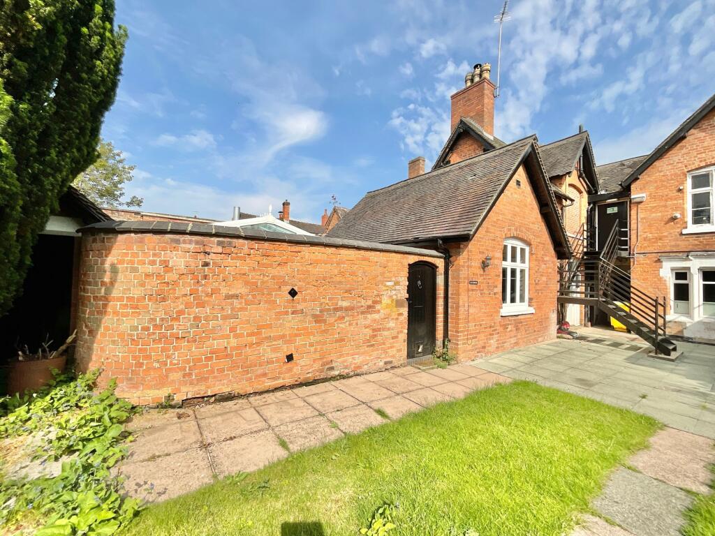
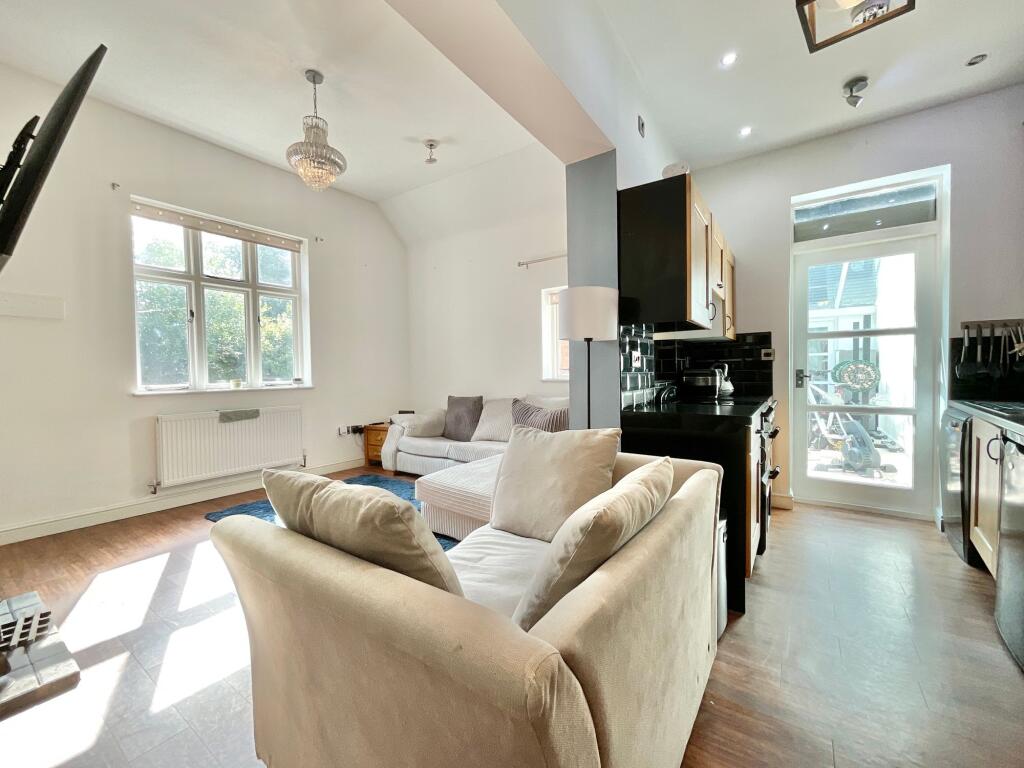
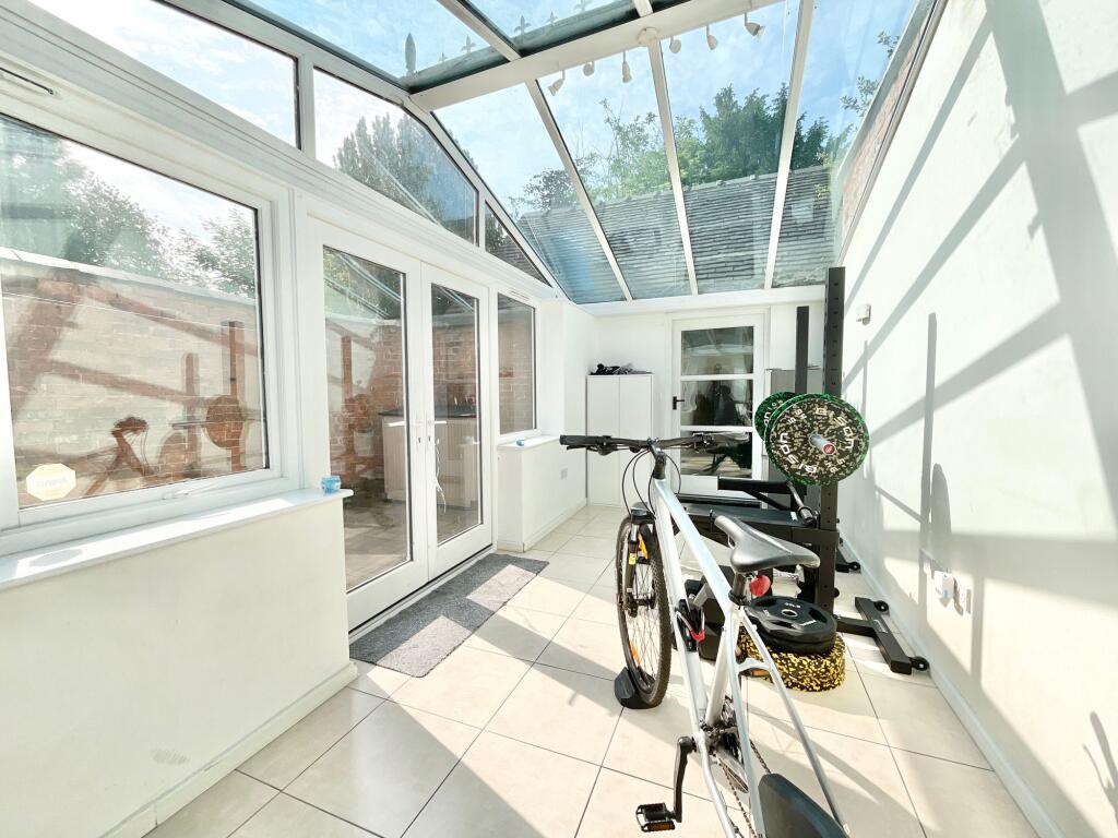
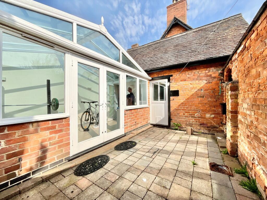
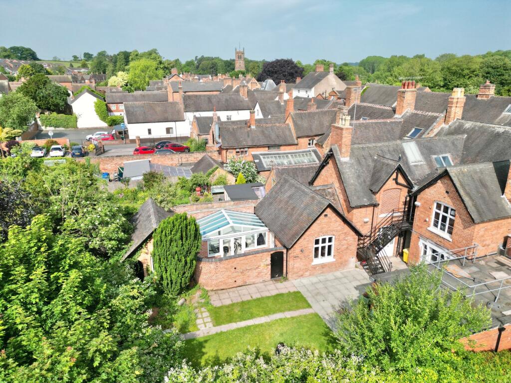
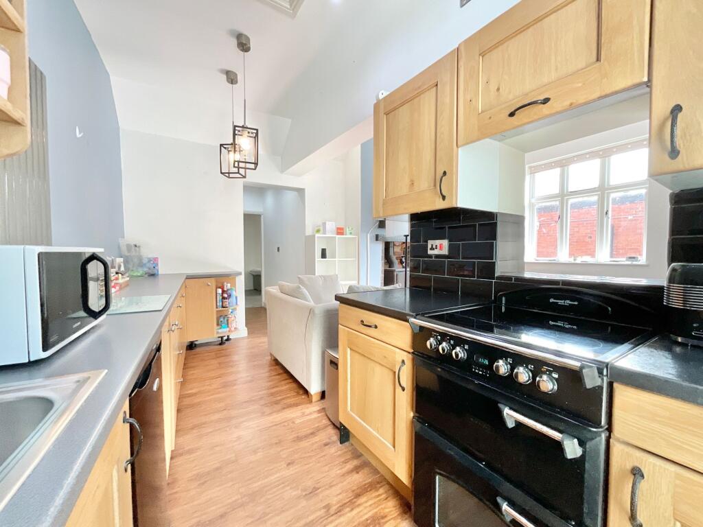
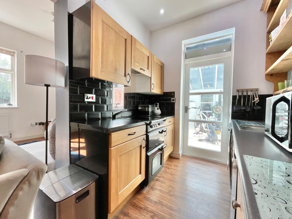
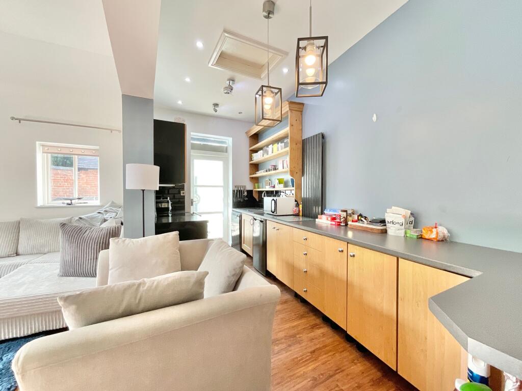
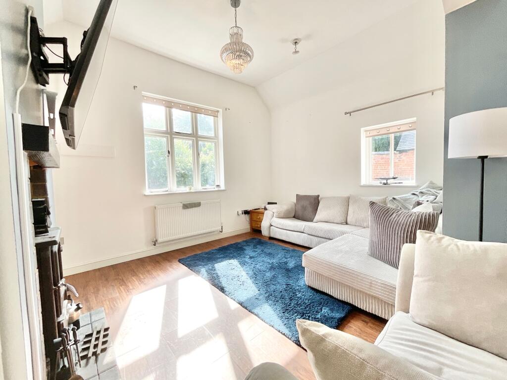
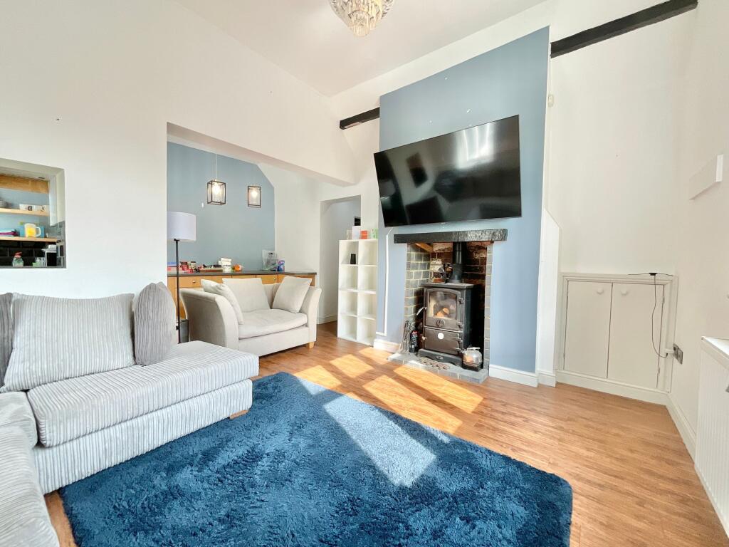
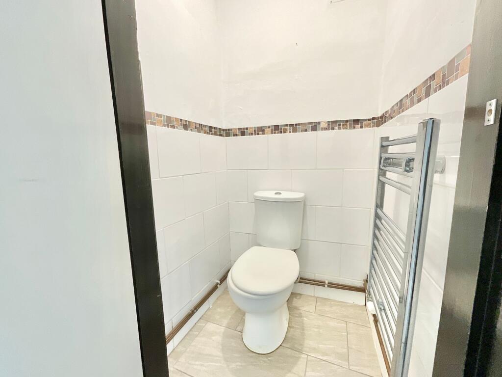
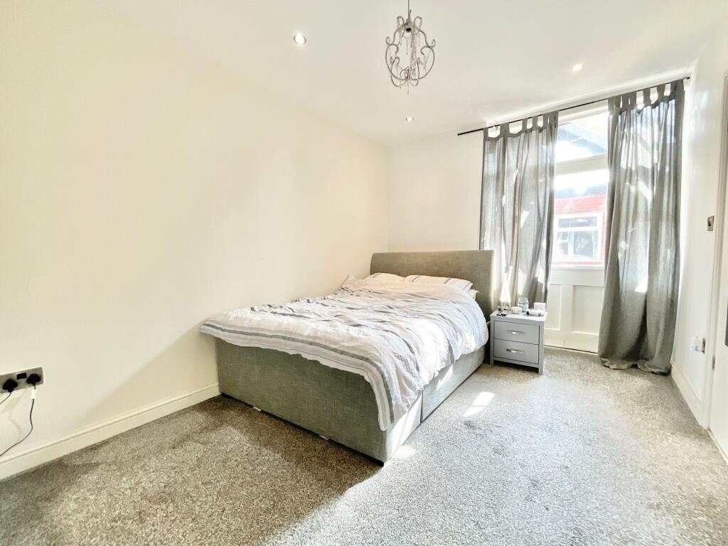
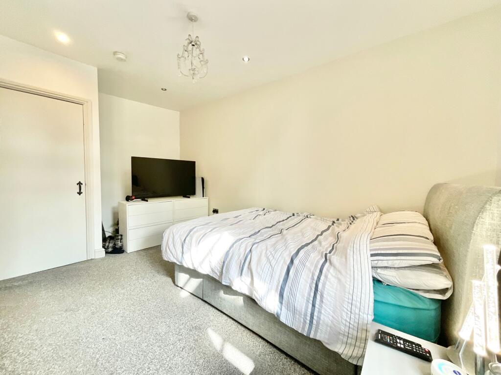
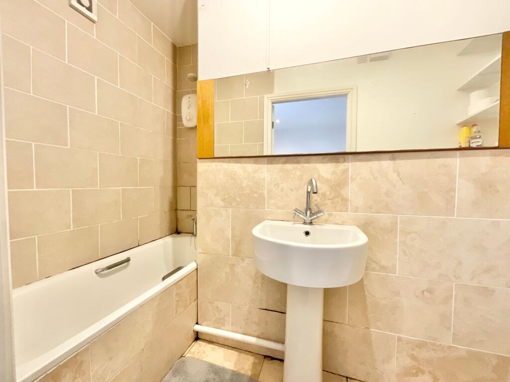
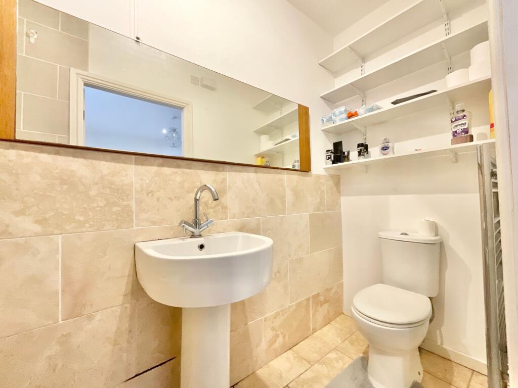
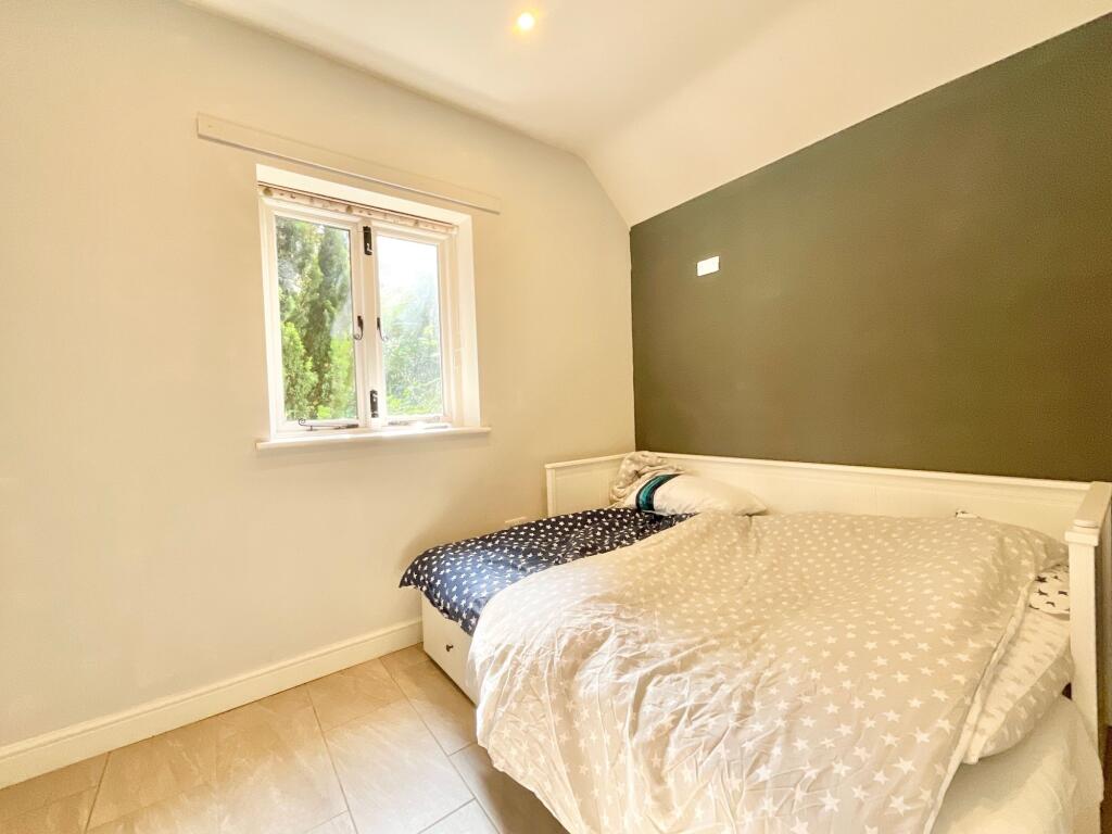
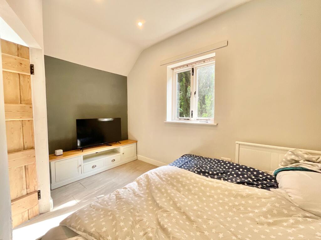
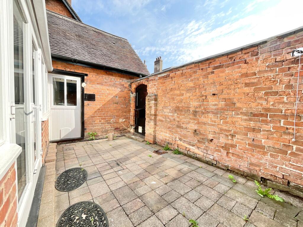
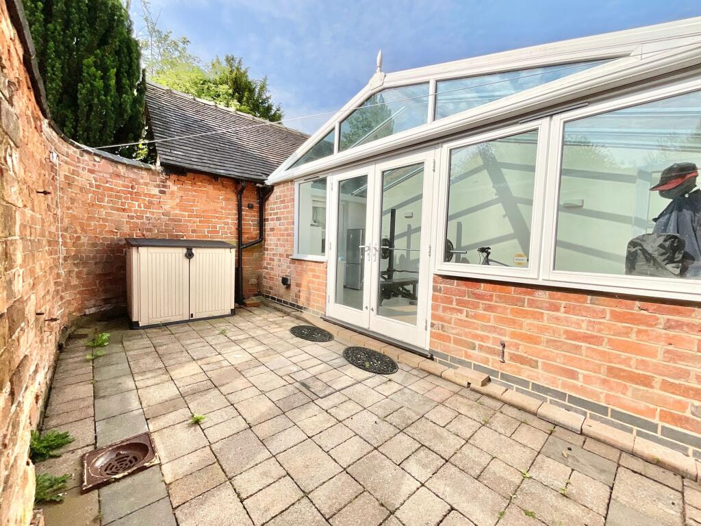
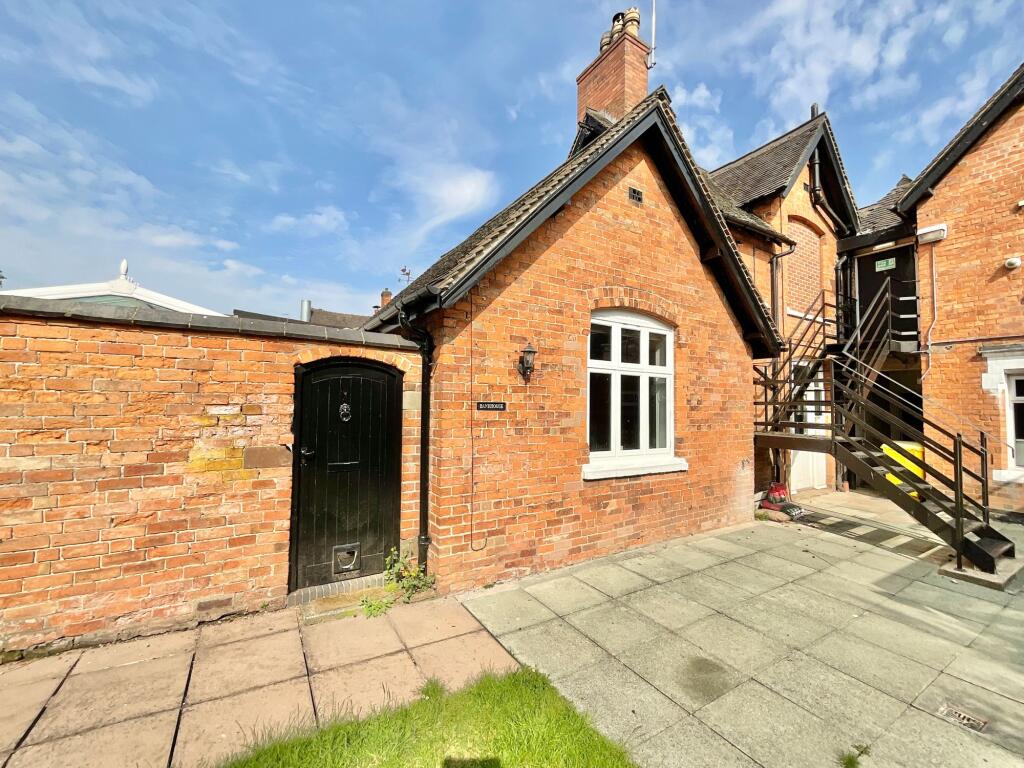
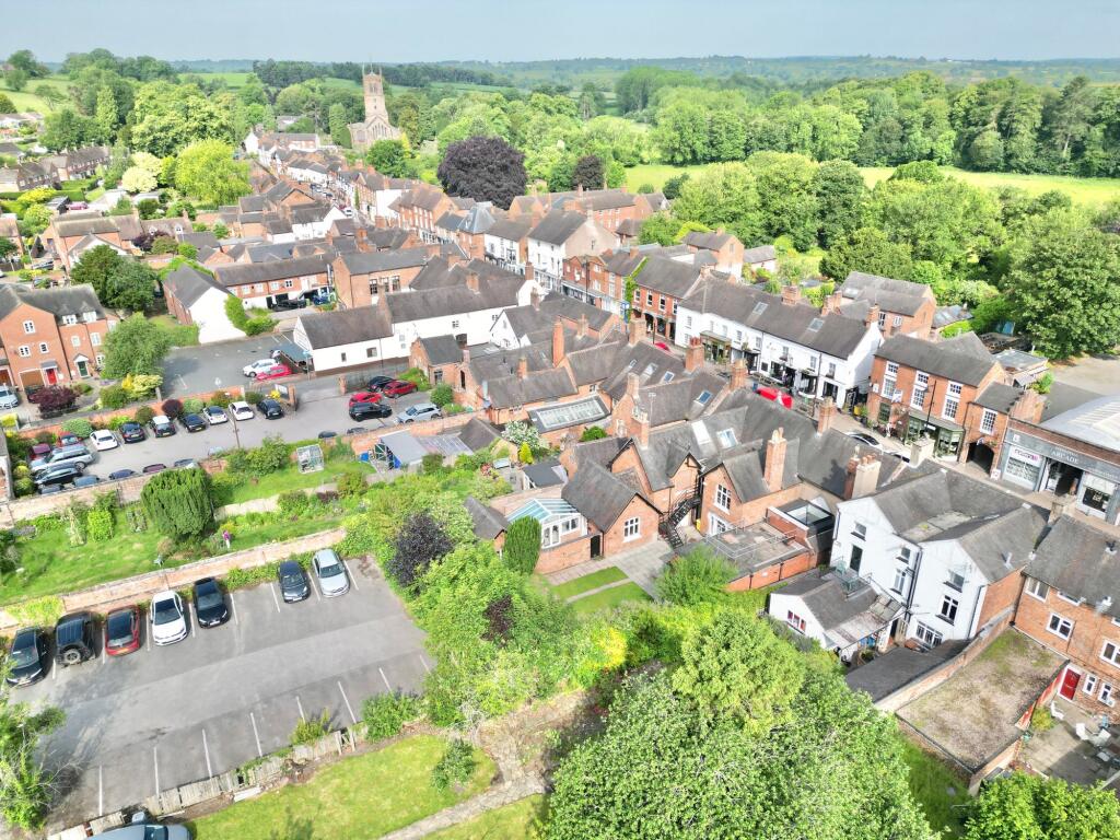
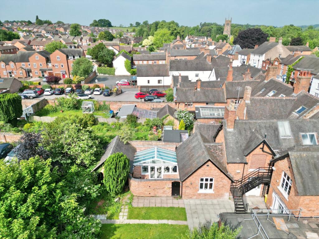
Photo 1 Photo 2 Photo 3 Photo 4 Photo 5 Photo 6 Photo 7 Photo 8 Photo 9 Photo 10 Photo 11 Photo 12 Photo 13 Photo 14 Photo 15 Photo 16 Photo 17 Photo 18 Photo 19 Photo 20 Photo 21 Photo 22 Photo 23
/ 23
Property details
Tenure
FREEHOLD
Floor area
65 m²
Council tax band
A
EPC rating
E
Year built
England and Wales: 2007-2011
Last sold
£175,000 Aug 2020
Price per m²
£3,231/m²
Local average
£342,988 (-38.8%)
Deprivation
Decile 7 (21,944 of 33,755)
Street crime
13 incidents within 1 mile (Aug 2026)
Key features
- Sat within the heart of the lovely Eccleshall High Street, a real hidden gem! Perfect for downsizing, lockup & leave? Or first time buyers.
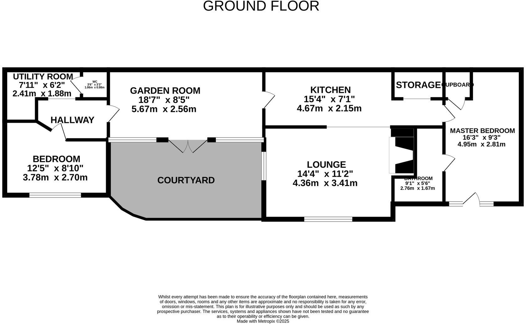
- A lovely period property with two double bedrooms, one having an en-suite bathroom, a further W.C next to bedroom two.
- Pretty little walled courtyard garden, prefect spot for entertaining friends or family, or a safe haven for little ones or your fury friends!
- A fabulous conservatory joining up the two halves of this lovely little cottage, an excellent additional space for a multitude of uses.
- The open plan kitchen/dining/living room is a cosy but roomy space that is welcomed with a warming log burning stove.
Additional details
- Electricity
- Mains supply
- Water
- Mains supply
- Sewerage
- Mains supply
- Heating
- Electric
- Parking
- Yes
- Garden
- Yes
- Listed property
- No
- Restrictions
- No
- Required access
- No
- Rights of way
- No
- Flooded in last 5 years
- No
- Flood defences
- No
Description
Listed by
Eccleshall
James Du Pavey Ltd
Reference: 94950366
EPC Rating & Upgrade Cost
Current rating: E
Potential rating: D
Inspection date: 21/04/2023
Expiry date: 20/04/2033
Current heating cost: £2,068/year
Potential heating cost: £2,088/year
Est. upgrade cost to C: £9,500
Recommendations
- Solar water heating (£4,000 - £6,000)
- Solar photovoltaic panels, 2.5 kWp (£3,500 - £5,500)
Flood risk
Zone: 1
Risk: Low
Job (default Low)
Registered land (INSPIRE)
This location falls inside an HM Land Registry INSPIRE registered freehold polygon.
Plot: ~76 m² (0.02 acres)
Source: HM Land Registry INSPIRE Index Polygons.
Floorplans
All
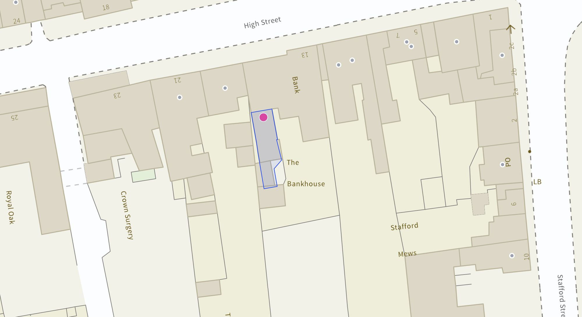
Site Plan
Price history
40% since 2016
| Event | Date | Price | % change |
|---|---|---|---|
| Listed for sale | — | £210,000 | +20% |
| Sold | 28/08/2020 (6 years ago) | £175,000 | +40% |
| Sold | 24/10/2016 (10 years ago) | £125,000 | — |
Source: HM Land Registry Price Paid Data. Crown copyright.
Sold Comparables
Same street and nearby sales within 0.25 miles (last 5 years). Data from Land Registry Price Paid.
| Address | Price | Date | Type |
|---|---|---|---|
| 11 SPRING HOLLOW, ECCLESHALL, STAFFORD, STAFFORDSHIRE, ST21 6EQ | £318,000 | 12/10/2023 | Semi-detached |
| 25 CLAREMONT ROAD, ECCLESHALL, STAFFORD, STAFFORDSHIRE, ST21 6DP | £270,000 | 06/10/2023 | Semi-detached |
| 20 CLAREMONT ROAD, ECCLESHALL, STAFFORD, STAFFORDSHIRE, ST21 6DP | £275,000 | 08/08/2023 | Semi-detached |
| 14 SPRING HOLLOW, ECCLESHALL, STAFFORD, STAFFORDSHIRE, ST21 6EQ | £240,000 | 22/05/2023 | Semi-detached |
| 47 SOUTHWELL ESTATE, ECCLESHALL, STAFFORD, STAFFORDSHIRE, ST21 6EB | £195,000 | 05/04/2023 | Semi-detached |
| 15 SPRING HOLLOW, ECCLESHALL, STAFFORD, STAFFORDSHIRE, ST21 6EQ | £260,000 | 02/09/2022 | Semi-detached |
| 9 LINACRE ROAD, ECCLESHALL, STAFFORD, STAFFORDSHIRE, ST21 6DZ | £261,000 | 06/07/2022 | Semi-detached |
| 24 LINACRE ROAD, ECCLESHALL, STAFFORD, STAFFORDSHIRE, ST21 6DZ | £245,000 | 25/05/2022 | Semi-detached |
| 6 CLAREMONT ROAD, ECCLESHALL, STAFFORD, STAFFORDSHIRE, ST21 6DP | £250,000 | 29/04/2022 | Semi-detached |
| 38 TRINITY ROAD, ECCLESHALL, STAFFORD, STAFFORDSHIRE, ST21 6AP | £258,000 | 08/04/2022 | Semi-detached |
| 33 CHURCHFIELD ROAD, ECCLESHALL, STAFFORD, STAFFORDSHIRE, ST21 6AQ | £231,000 | 17/12/2021 | Semi-detached |
Area average: £254,818 (11 sales)
Capital growth trend
House Price Index (HM Land Registry — official index, not sold-price averages): Stafford. Series: Semi-detached. As of August 2026.
Rental Range
Estimated market rent for Stafford. Low = conservative, Realistic = average, Optimistic = best case.
Based on Local Authority from postcode lookup → Stafford.
LHA (30th percentile) floor for Mid Staffs: £623/mo (Apr 2025 – Mar 2026)
Location
Address
High Street
Nearby
Nearest stations, universities and amenities (distance from property).
| Type | Name | Distance |
|---|---|---|
| Bus stop | Post Office | 0.0 miles |
| Shop | Bramble Lane Interiors | 0.1 miles |
| Train station | Unknown | 0.7 miles |
| Shop | Staffordshire Shutters | 1.0 miles |
| Train station | Stone | 5.3 miles |
| Hospital | St George's Hospital | 6.9 miles |
| Hospital | County Hospital | 7.3 miles |
| University | Staffordshire University Centre for Health Innovation | 8.1 miles |
| University | Harper Adams University | 9.2 miles |
Street-level crime
| Category | Count |
|---|---|
| Violence and sexual offences | 6 |
| Anti-social behaviour | 2 |
| Public order | 2 |
| Other crime | 1 |
| Other theft | 1 |
| Shoplifting | 1 |
| Total incidents | 13 |
Within 1 mile during Aug 2026. Source: data.police.uk (England & Wales).
Schools nearby
Nearest open schools with Ofsted ratings (England). Closed schools are not shown. Data from Get Information about Schools and Ofsted.
| Name | Type | Distance | Ofsted |
|---|---|---|---|
| Bishop Lonsdale Church of England Primary Academy | Primary | 0.4 miles | — (Inspected (no overall grade)) |
| Walton Hall Academy | Other | 1.3 miles | Good — 9 May 2017 |
| Woodseaves CE Primary Academy | Primary | 3.0 miles | Good — 16 Nov 2023 |
| Springfields First School | Primary | 3.2 miles | Good — 21 May 2023 |
| All Saints Church of England Primary School and Nursery | Primary | 3.2 miles | Requires improvement — 18 May 2022 |
Rental Comparables
Rental listings exist nearby, but none matched the 2-bedroom count for this property.
Rent-driven metrics
Based on Area rent estimate.
- Rent ratio — Monthly rent ÷ purchase price (1% rule). 1%+ = strong, 0.8–1% = okay, <0.8% = weak for cashflow.
- Max investor price — Rent ÷ 0.8%; the price at which rent would be 0.8% of price (Stoke-style target).
- Target investor price — Rent ÷ 1%; the price at which rent would be 1% of price (strong cashflow band).
- Gross yield — Annual rent as % of purchase price (no costs).