45 ST MICHAELS ROAD
STOKE-ON-TRENT, STOKE-ON-TRENT ST6 6LE
£450 pcm
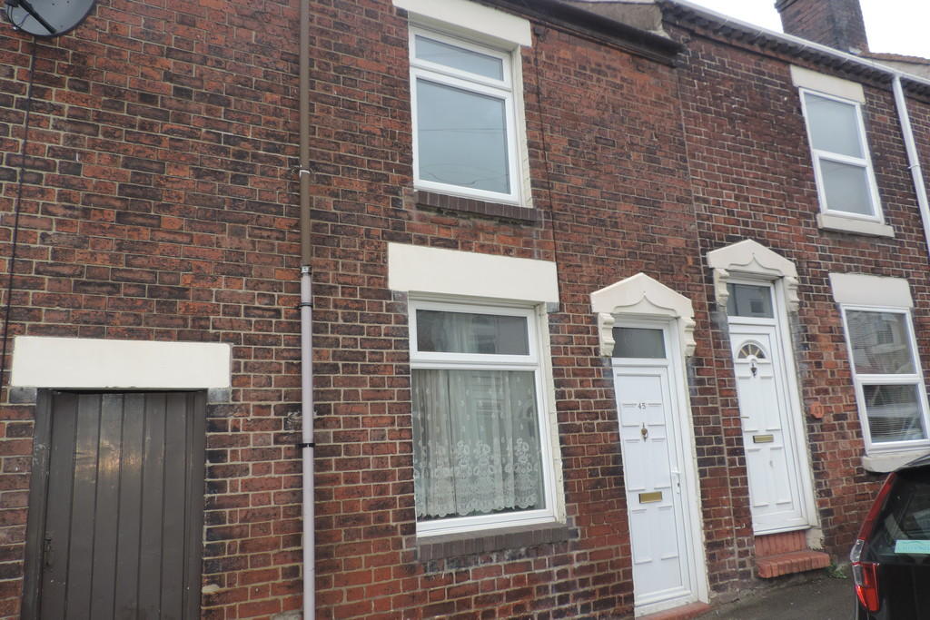
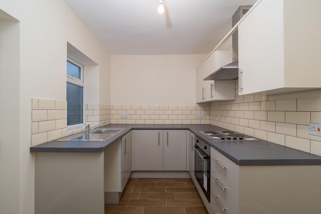
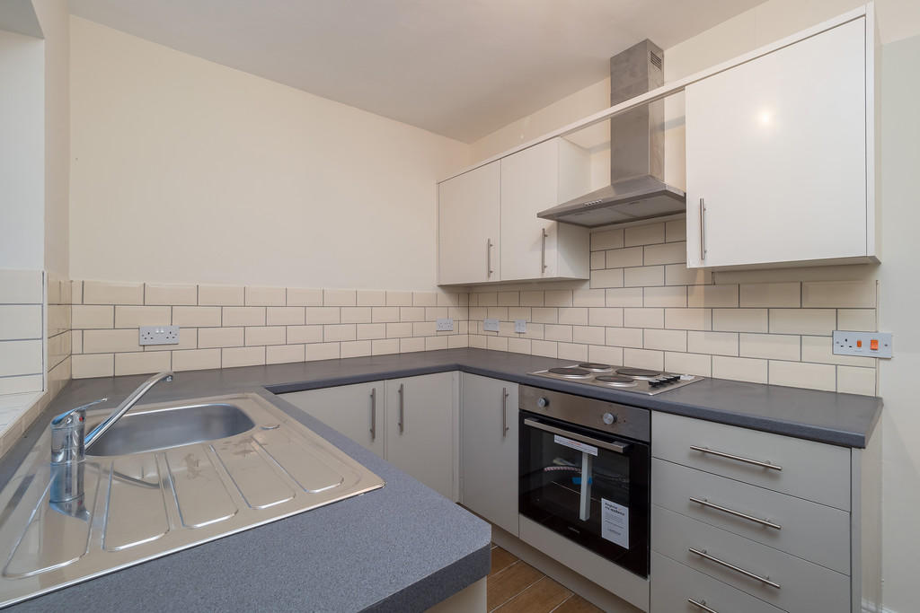
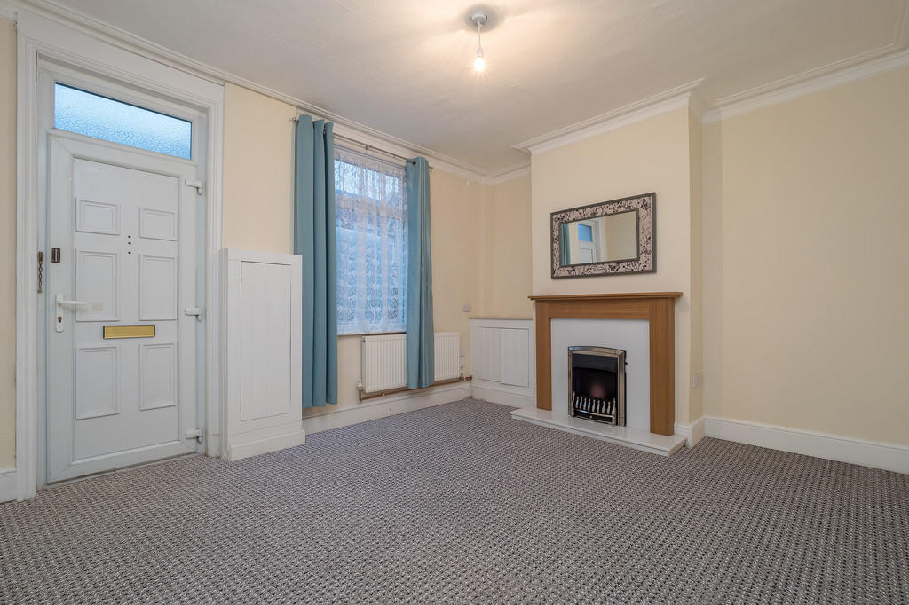
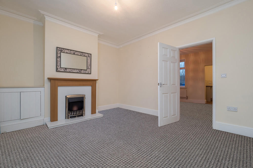
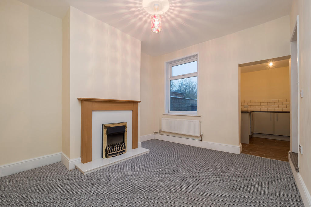
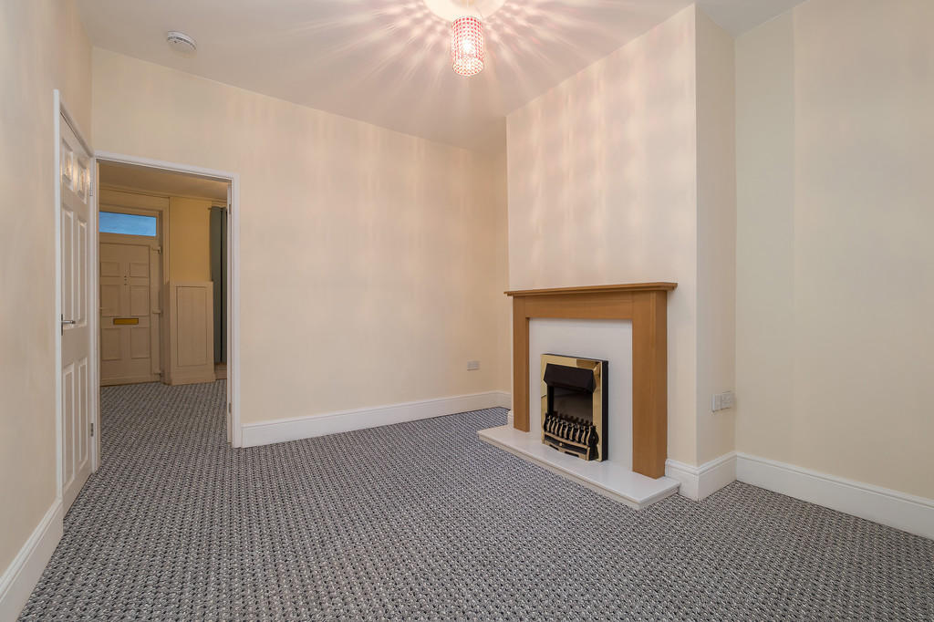
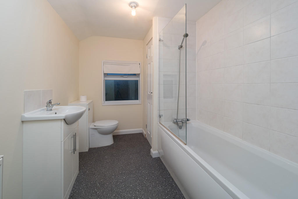
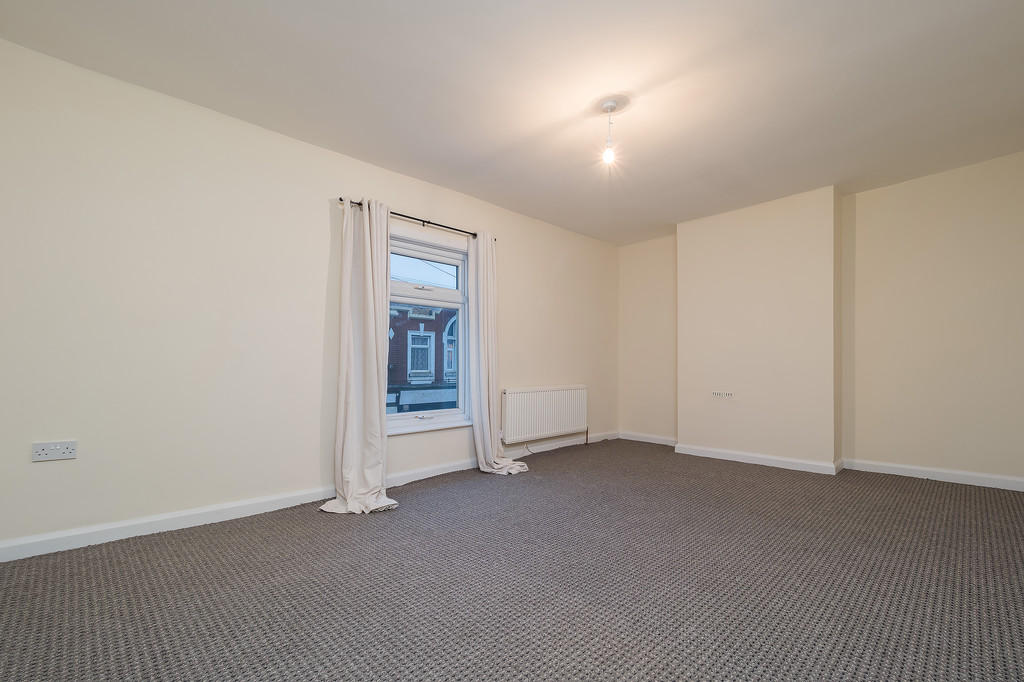
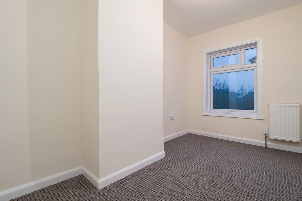
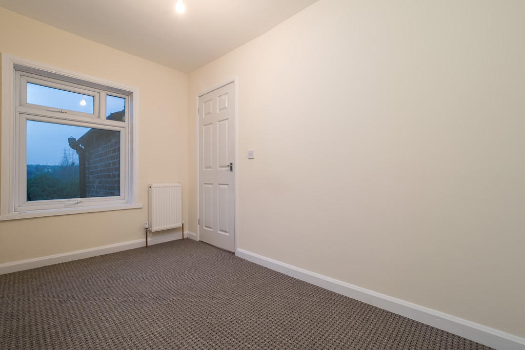
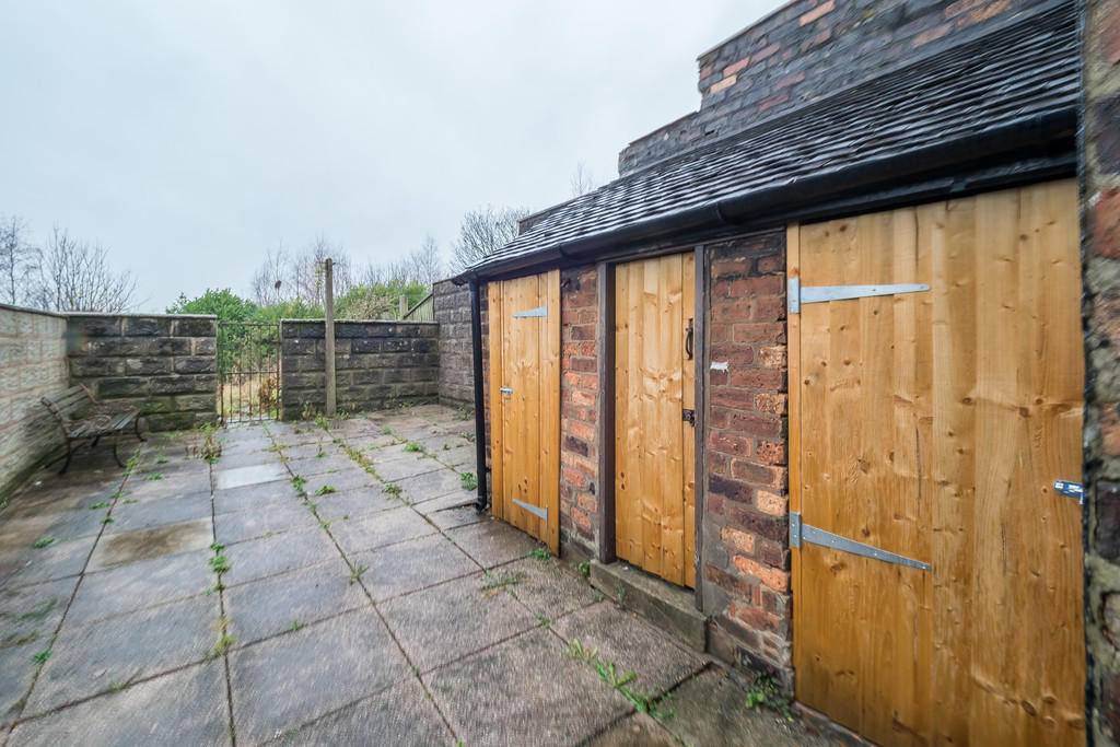
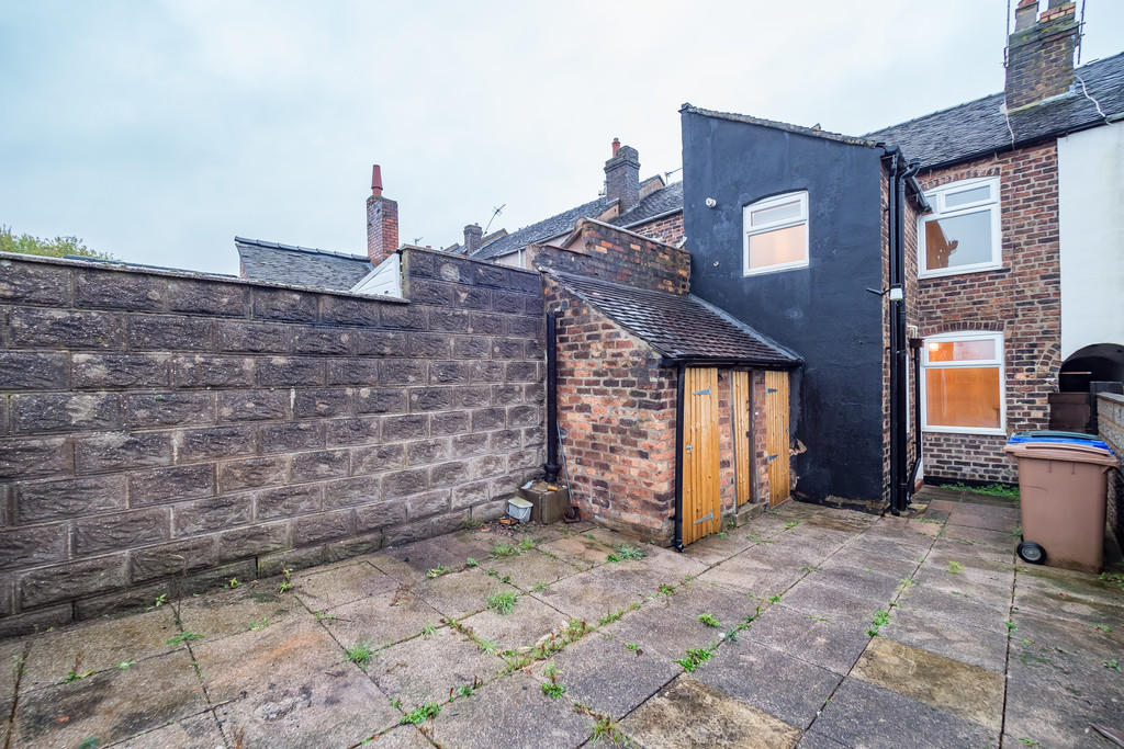
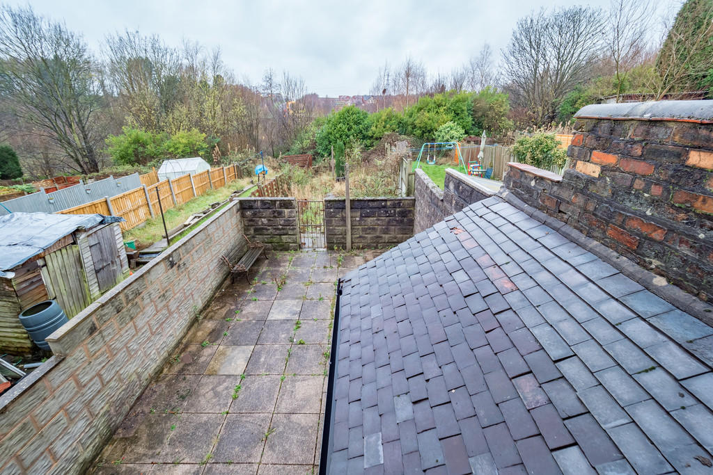
Photo 1 Photo 2 Photo 3 Photo 4 Photo 5 Photo 6 Photo 7 Photo 8 Photo 9 Photo 10 Photo 11 Photo 12 Photo 13 Photo 14
/ 14
Property details
Deprivation
Decile 2 (5,003 of 33,755)
Street crime
355 incidents within 1 mile (Apr 2026)
Key features
- Two Reception Rooms
- Two Bedrooms
- Great Location
- Large Garden
- Newly Fitted Bathroom
- Newly Fitted Kitchen
Additional details
- Parking
- On street
- Garden
- Yes
Description
Listed by
Stafford
The Property Franchise Group
Reference: 75924483
EPC Rating & Upgrade Cost
Fetching EPC data… Refresh this page in a moment.
Flood risk
Zone: 1
Risk: Low
Job (default Low)
EPC Graphs

EPC Front Page
FENSA Certificates
This property has 1 FENSA certificate(s) on record, indicating window/door installations by FENSA-approved installers.
FENSA Certificate #3767531
Property Details
Street: 45 St. Michaels Road
Town: STOKE-ON-TRENT
Postcode: ST6 6LE
Installation Details
Items: 6 windows and 2 doors
Certificate Issued: 05/06/2006
Work Completed: 05/05/2006
This certificate data was retrieved from FENSA's database
What is FENSA? FENSA (Fenestration Self-Assessment Scheme) is a government-authorised scheme that monitors building regulation compliance for replacement windows and doors. Certificates indicate that work was completed by FENSA-approved installers.
Rental Range
Estimated market rent for Stoke-on-Trent. Low = conservative, Realistic = average, Optimistic = best case.
Based on Local Authority from postcode lookup → Stoke-on-Trent.
LHA (30th percentile) floor for Staffordshire North: £479/mo (Apr 2025 – Mar 2026)
Location
Nearby
Nearest stations, universities and amenities (distance from property).
| Type | Name | Distance |
|---|---|---|
| Bus stop | Pittshill, St Michael's Road / Benson Street | 0.0 miles |
| Shop | Copy-CAD | 0.7 miles |
| Shop | Premier | 0.8 miles |
| Hospital | Haywood Hospital Walk-in Centre | 0.9 miles |
| Train station | Longport | 1.9 miles |
| Train station | Kidsgrove | 2.2 miles |
| Hospital | Royal Stoke University Hospital | 4.5 miles |
| University | Keele University | 5.5 miles |
| University | Buxton & Leek College | 7.8 miles |
Street-level crime
| Category | Count |
|---|---|
| Violence and sexual offences | 114 |
| Anti-social behaviour | 63 |
| Vehicle crime | 38 |
| Criminal damage and arson | 33 |
| Other theft | 25 |
| Shoplifting | 20 |
| Burglary | 15 |
| Public order | 15 |
| Robbery | 10 |
| Drugs | 9 |
| Other crime | 5 |
| Possession of weapons | 5 |
| Bicycle theft | 2 |
| Theft from the person | 1 |
| Total incidents | 355 |
Within 1 mile during Apr 2026. Source: data.police.uk (England & Wales).
Schools nearby
Nearest open schools with Ofsted ratings (England). Closed schools are not shown. Data from Get Information about Schools and Ofsted.
| Name | Type | Distance | Ofsted |
|---|---|---|---|
| St Margaret Ward Catholic Academy | Secondary | 0.2 miles | Good — 4 Mar 2013 |
| Watermill School | Other | 0.3 miles | Good — 30 May 2013 |
| Ormiston Horizon Academy | Secondary | 0.3 miles | Good — 18 Jan 2024 |
| Mill Hill Primary Academy | Primary | 0.4 miles | Outstanding — 24 Jan 2024 |
| St Wilfrid's Catholic Primary School | Primary | 0.7 miles | Good — 12 Jun 2017 |
Rental Comparables
Residential lets from OpenRent and Rightmove for the area (same bedroom count). Use to validate rent estimates. Student lets are excluded.
| Title | Rent | Beds | Distance | As seen on |
|---|---|---|---|---|
| St Aidans Street, Stoke-on-trent | £750/mo | 2 | 0.65 miles | Rightmove |
| Newfield Street, Tunstall | £750/mo | 2 | 0.67 miles | Rightmove |
| Bond Street, Tunstall | £750/mo | 2 | 0.68 miles | Rightmove |
| The Boulevard, Stoke-on-Trent, ST6 | £595/mo | — | 0.7 miles | Rightmove |
| Bank Street, Tunstall | £700/mo | 2 | 0.71 miles | Rightmove |
| King William Street, Stoke-on-trent | £750/mo | 2 | 0.76 miles | Rightmove |
| King William Street, Tunstall | £750/mo | 2 | 0.82 miles | Rightmove |
| Pinnox Street, Stoke-On-Trent | £850/mo | 2 | 0.94 miles | Rightmove |
| High Street, Tunstall | £550/mo | — | 0.96 miles | Rightmove |
| Chatterley Street, Burslem, Stoke-on-Trent, Staffordshire, ST6 | £850/mo | 2 | 1.19 miles | Rightmove |
| Stanfield Road, Stoke-On-Trent, ST6 | £700/mo | 2 | 1.29 miles | Rightmove |
| Hamil Road, Burslem | £745/mo | 2 | 1.32 miles | Rightmove |
| Gordon Street, Stoke-on-Trent | £40/mo | 2 | 1.32 miles | Rightmove |
| May Street, Burslem, Stoke-on-Trent, Staffordshire, ST6 | £625/mo | 2 | 1.33 miles | Rightmove |
| Gordon Street, Stoke-On-Trent, ST6 | £700/mo | 2 | 1.35 miles | Rightmove |
| Jackfield Street,Burslem, Stoke-on-Trent | £700/mo | 2 | 1.39 miles | Rightmove |
| Wade Street Burslem | £750/mo | 2 | 1.4 miles | Rightmove |
| Manchester Court, Federation Road, ST6 | £695/mo | 2 | 1.4 miles | Rightmove |
| Dartmouth Street, STOKE-ON-TRENT | £750/mo | 2 | 1.44 miles | Rightmove |
| Macclesfield Street, Stoke-On-Trent, ST6 | £725/mo | 2 | 1.47 miles | Rightmove |
Average rent: £733/mo (36 listings)