High Street
Skelmersdale, Lancashire, WN8, WN8 8EP
£530 pcm
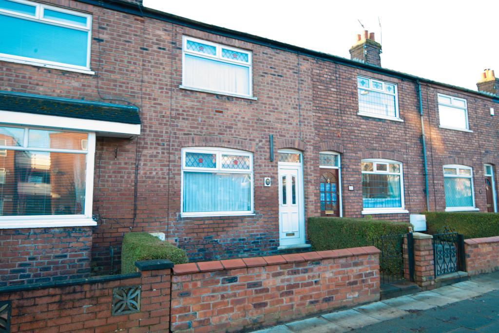
Photo 1
/ 1
Property details
Deprivation
Decile 2 (3,686 of 33,755)
Street crime
78 incidents within 1 mile (Apr 2026)
Key features
- Newly Fitted Bathroom
- Gas Central Heating
- Double Glazing
- Convenient Location
Additional details
- Garden
- Yes
Description
Application Fees
Transparency is extremely important to us and our application fees are outlined below. There are no hidden fees or extras and the fees below are only payable if you wish to apply for a property. £125 (inc VAT) for one person, £25 (inc VAT) for each additional tenant and £25 (inc VAT) for a guarantor. Please note all fees are non-refundable.
Property Details
Available: March 2014
Bedrooms: 3
Living/Reception: 1
Rent: £530.00 Per Calendar Month
Deposit: £530.00
Listed by
Ormskirk - Lettings
NSW Properties Ltd
Reference: 29165289
EPC ratings on this postcode
We don't have a matched EPC for this property yet. Below are efficiency scores and details for other addresses on this postcode.
| Address | Current | Potential | Floor area | Age band | Type |
|---|---|---|---|---|---|
| 10 Cambridge Road, Skelmersdale, Lancashire | 71 | 86 | 62 m² | England and Wales: 1950-1966 | Detached |
| 12 Cambridge Road, Skelmersdale, Lancashire | 60 | 77 | 56 m² | England and Wales: 1950-1966 | Detached |
| 2a Cambridge Road, SKELMERSDALE | 69 | 87 | 49 m² | England and Wales: 1950-1966 | Terraced |
| 2A Cambridge Road, Skelmersdale, Lancashire | 62 | 82 | 36 m² | England and Wales: 1950-1966 | Terraced |
| 2a, Cambridge Road, SKELMERSDALE | 67 | 87 | 48 m² | England and Wales: 1976-1982 | Terraced |
| 2B Cambridge Road, Skelmersdale, Lancashire | 71 | 74 | 36 m² | England and Wales: 1950-1966 | Terraced |
| 2b, Cambridge Road, SKELMERSDALE | 65 | 83 | 45 m² | England and Wales: 1967-1975 | Terraced |
| 2C Cambridge Road, Skelmersdale, Lancashire | 71 | 76 | 36 m² | England and Wales: 1950-1966 | Detached |
| 2D Cambridge Road, Skelmersdale, Lancashire | 70 | 74 | 36 m² | England and Wales: 1950-1966 | Terraced |
| 2d, Cambridge Road, SKELMERSDALE | 66 | 85 | 50 m² | England and Wales: 1950-1966 | Terraced |
| 3, Cambridge Road, SKELMERSDALE | 71 | 86 | 85 m² | England and Wales: 1950-1966 | Terraced |
| 7, Cambridge Road, SKELMERSDALE | 49 | 70 | 91 m² | England and Wales: 1950-1966 | Terraced |
| 7, Cambridge Road, SKELMERSDALE | 65 | 84 | 81 m² | England and Wales: 1950-1966 | Terraced |
Flood risk
Zone: 1
Risk: Low
Job (default Low)
Rental Range
Estimated market rent for West Lancashire. Low = conservative, Realistic = average, Optimistic = best case.
Based on Local Authority from postcode lookup → West Lancashire.
LHA (30th percentile) floor for Lancaster: £648/mo (Apr 2025 – Mar 2026)
Location
Address
Cambridge Road
Nearby
Nearest stations, universities and amenities (distance from property).
| Type | Name | Distance |
|---|---|---|
| Bus stop | Pennylands opp Tancaster | 0.1 miles |
| Bus stop | Pennylands o/s Tancaster | 0.1 miles |
| Shop | Co-op Food | 0.2 miles |
| Shop | Unknown | 0.3 miles |
| Train station | Rainford | 2.4 miles |
| Train station | Upholland | 2.9 miles |
| University | Edge Hill University | 2.9 miles |
| Hospital | Children's Outpatients Department | 3.1 miles |
| Hospital | Children's A&E | 3.1 miles |
| University | Milton House | 3.1 miles |
Street-level crime
| Category | Count |
|---|---|
| Violence and sexual offences | 32 |
| Anti-social behaviour | 11 |
| Criminal damage and arson | 9 |
| Other theft | 9 |
| Public order | 6 |
| Other crime | 3 |
| Possession of weapons | 3 |
| Vehicle crime | 2 |
| Burglary | 1 |
| Robbery | 1 |
| Shoplifting | 1 |
| Total incidents | 78 |
Within 1 mile during Apr 2026. Source: data.police.uk (England & Wales).
Schools nearby
Nearest open schools with Ofsted ratings (England). Closed schools are not shown. Data from Get Information about Schools and Ofsted.
| Name | Type | Distance | Ofsted |
|---|---|---|---|
| Kingsbury Primary Special School | Other | 0.1 miles | Outstanding — 11 Nov 2013 |
| Brookfield Park Primary School | Primary | 0.2 miles | Requires improvement — 26 Nov 2023 |
| Trinity Church of England/Methodist School | Primary | 0.2 miles | Good — 4 Dec 2015 |
| West Lancashire Community High School | Other | 0.3 miles | Good — 10 Dec 2014 |
| St Richard's Catholic Primary School, Skelmersdale | Primary | 0.3 miles | — (Inspected (no overall grade)) |
Rental Comparables
Loading rental comparables for this postcode. Refresh in a few minutes.
Enter House Number
Enter the house number to help us retrieve more accurate pricing history and property data.
Please log in to submit or correct the house number for this listing.
Log in to continue