18 SEVERN STREET
WORCESTER, WORCESTERSHIRE WR1 2ND
£695 pcm
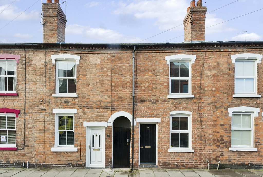
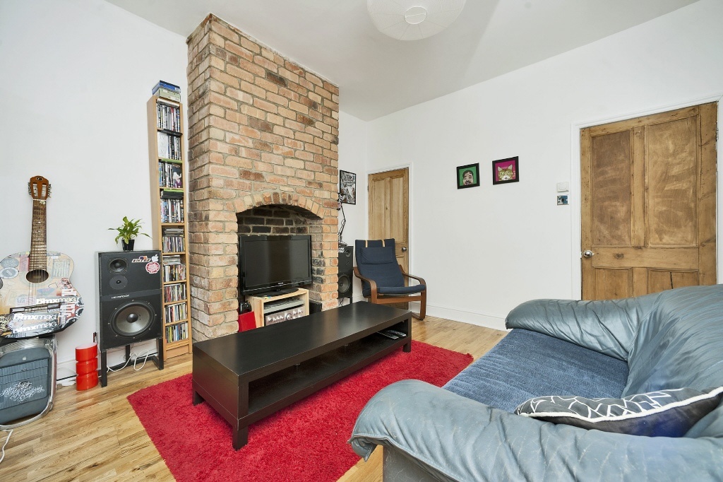
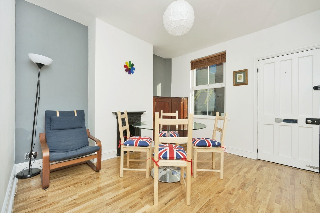
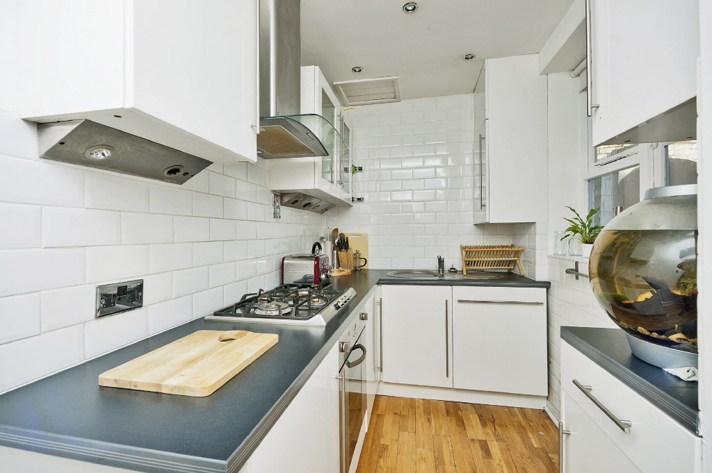
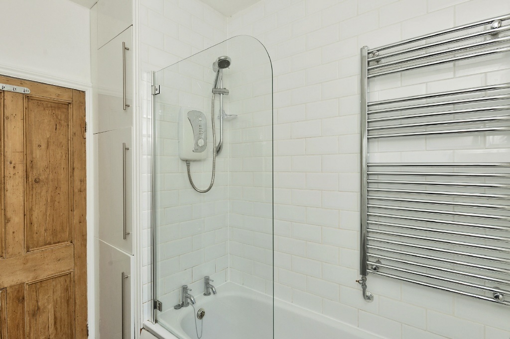
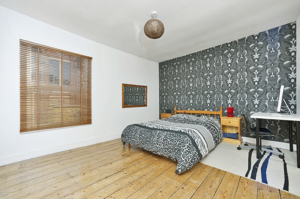
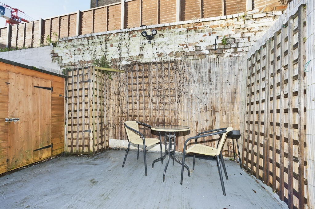
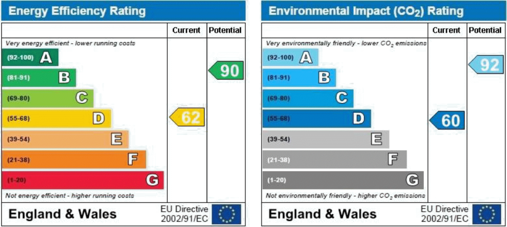
Photo 1 Photo 2 Photo 3 Photo 4 Photo 5 Photo 6 Photo 7 EPC
/ 8
Property details
Floor area
69 m²
EPC rating
D
Year built
England and Wales: 1900-1929
Deprivation
Decile 3 (7,956 of 33,755)
Street crime
379 incidents within 1 mile (Apr 2026)
Additional details
- Garden
- Yes
Description
Listed by
Ledbury
Hayes
Reference: 44542580
EPC Rating & Upgrade Cost
Current rating: D
Potential rating: B
Inspection date: 20/01/2014
Expiry date: 19/01/2024 (expired)
Current heating cost: £626/year
Potential heating cost: £339/year
Est. upgrade cost to C: £31,650
Recommendations
- Increase loft insulation to 270 mm (£100 - £350)
- 50 mm internal or external wall insulation (£4,000 - £14,000)
- Floor insulation (£800 - £1,200)
- Low energy lighting for all fixed outlets (£25)
- Solar water heating (£4,000 - £6,000)
- Replace single glazed windows with low-E double glazing (£3,300 - £6,500)
- Solar photovoltaic panels, 2.5 kWp (£9,000 - £14,000)
Flood risk
Zone: 1
Risk: Low
Job (default Low)
Floorplans
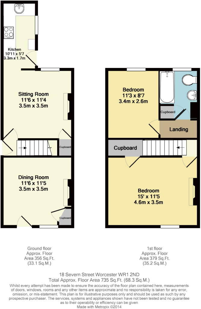
Floorplan 1
FENSA Certificates
This property has 1 FENSA certificate(s) on record, indicating window/door installations by FENSA-approved installers.
FENSA Certificate #2845309
Property Details
Street: 18 Severn Street
Town: WORCESTER
Postcode: WR1 2ND
Installation Details
Items: 2 windows
Certificate Issued: 05/07/2005
Work Completed: 08/06/2005
This certificate data was retrieved from FENSA's database
What is FENSA? FENSA (Fenestration Self-Assessment Scheme) is a government-authorised scheme that monitors building regulation compliance for replacement windows and doors. Certificates indicate that work was completed by FENSA-approved installers.
Rental Range
Estimated market rent for Worcester. Low = conservative, Realistic = average, Optimistic = best case.
Based on Local Authority from postcode lookup → Worcester.
LHA (30th percentile) floor for South Cheshire: £573/mo (Apr 2025 – Mar 2026)
Location
Nearby
Nearest stations, universities and amenities (distance from property).
| Type | Name | Distance |
|---|---|---|
| Bus stop | King's School | 0.1 miles |
| Shop | Londis | 0.1 miles |
| Shop | Airora Tansells | 0.1 miles |
| Bus stop | Sidbury | 0.1 miles |
| Hospital | Spire Southbank Hospital | 0.4 miles |
| Train station | Worcester Foregate Street | 0.6 miles |
| Train station | Worcester Shrub Hill | 0.8 miles |
| Hospital | Worcestershire Royal Hospital | 1.7 miles |
| University | University of Worcester Lakeside Campus | 4.9 miles |
Street-level crime
| Category | Count |
|---|---|
| Violence and sexual offences | 144 |
| Shoplifting | 50 |
| Criminal damage and arson | 45 |
| Burglary | 33 |
| Public order | 29 |
| Other theft | 24 |
| Vehicle crime | 14 |
| Drugs | 11 |
| Bicycle theft | 10 |
| Robbery | 8 |
| Other crime | 4 |
| Possession of weapons | 4 |
| Theft from the person | 3 |
| Total incidents | 379 |
Within 1 mile during Apr 2026. Source: data.police.uk (England & Wales).
Schools nearby
Nearest open schools with Ofsted ratings (England). Closed schools are not shown. Data from Get Information about Schools and Ofsted.
| Name | Type | Distance | Ofsted |
|---|---|---|---|
| The King's School | Other | 0.1 miles | — (No rating) |
| Fort Royal | Other | 0.4 miles | Good — 27 Feb 2013 |
| Newbridge School | Other | 0.5 miles | Good — 30 Nov 2023 |
| Stanley Road Primary School | Primary | 0.5 miles | Requires improvement — 2 Aug 2023 |
| Blessed Edward Oldcorne Catholic College | Secondary | 0.5 miles | Good — 6 Mar 2013 |
Rental Comparables
Loading rental comparables for this postcode. Refresh in a few minutes.