49 LIGHT HALL LANE
SOLIHULL, SHIRLEY, WEST MIDLANDS B90 4FS
£1,350 pcm
Property details
Floor area
57 m²
EPC rating
B
Deprivation
Decile 7 (22,898 of 33,755)
Street crime
155 incidents within 1 mile (Apr 2026)
Key features
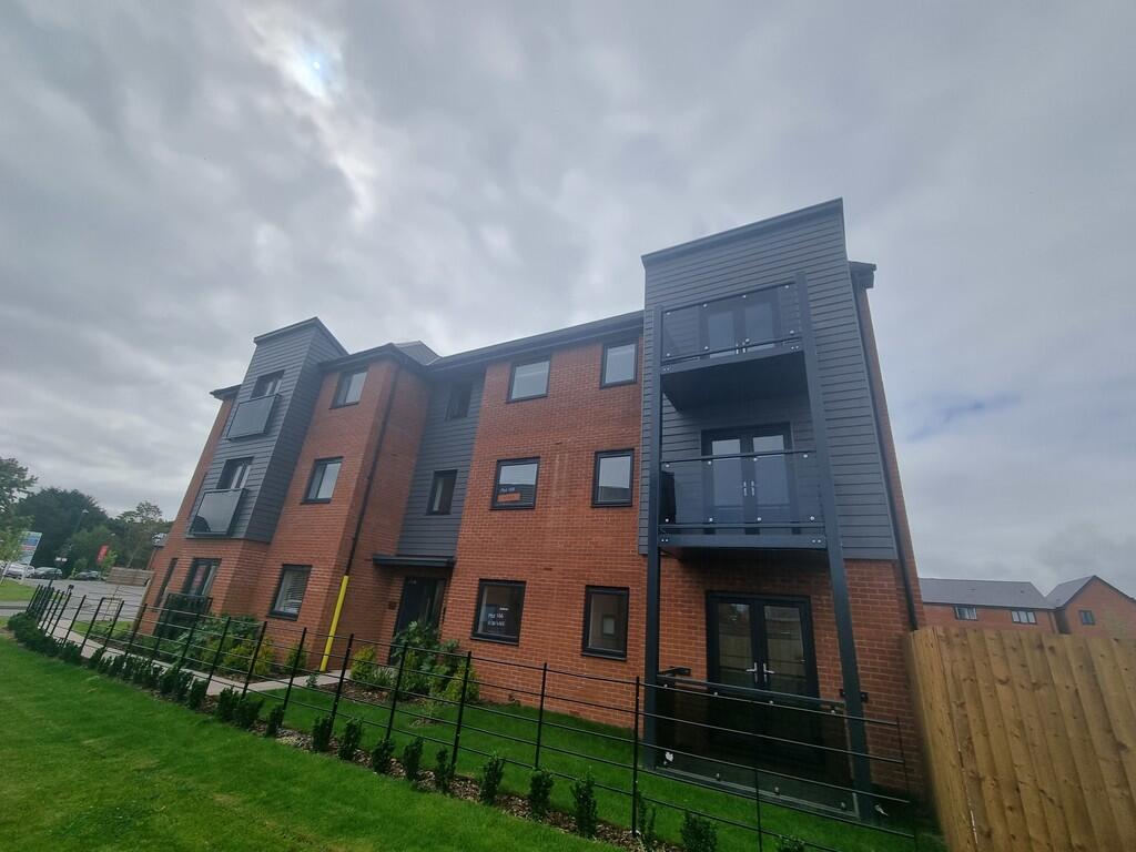
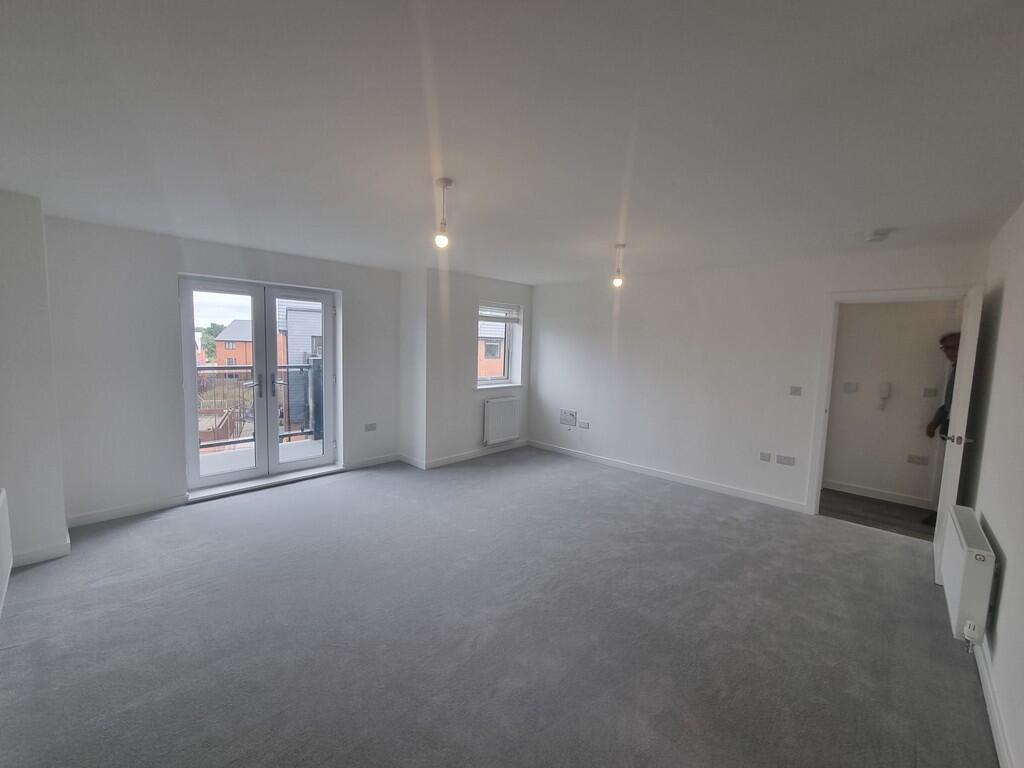
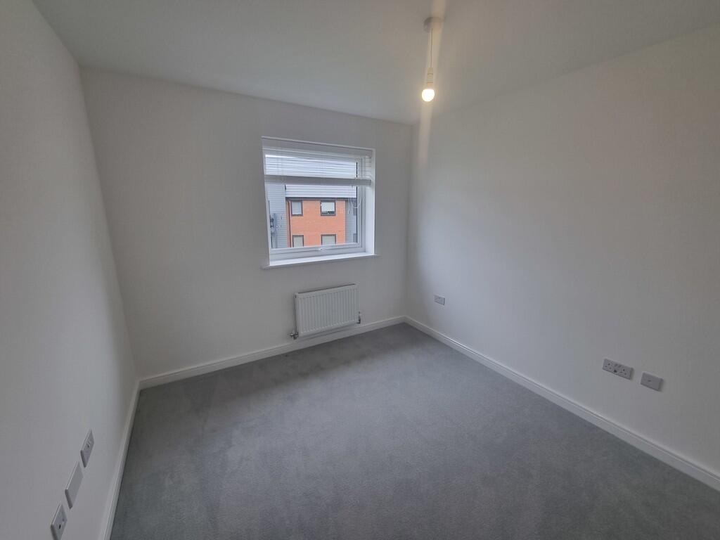
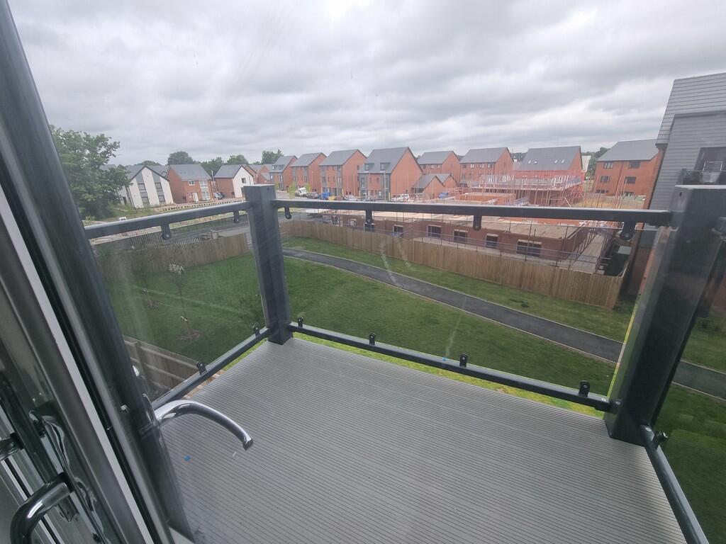
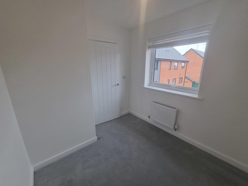
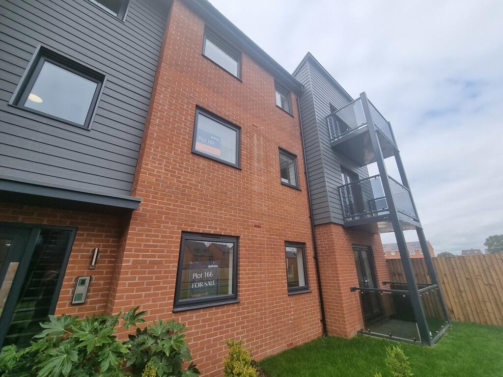
- Top Floor Apartment
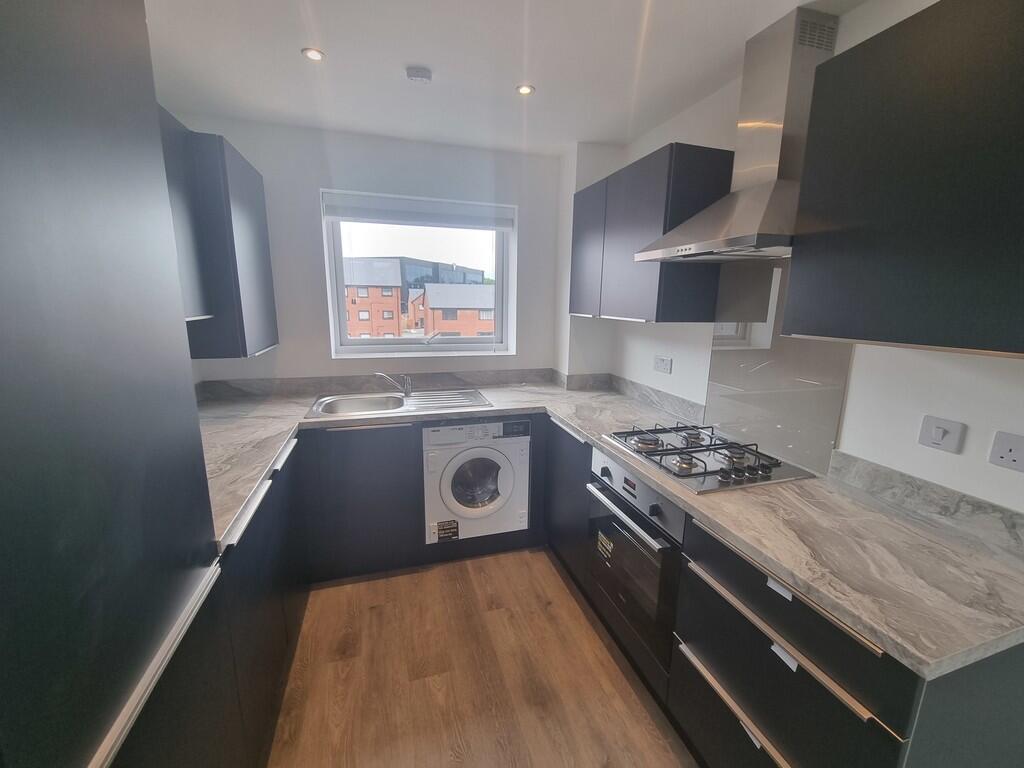
- Contemporary Kitchen with Appliances
- Allocated Parking, Tandem Space
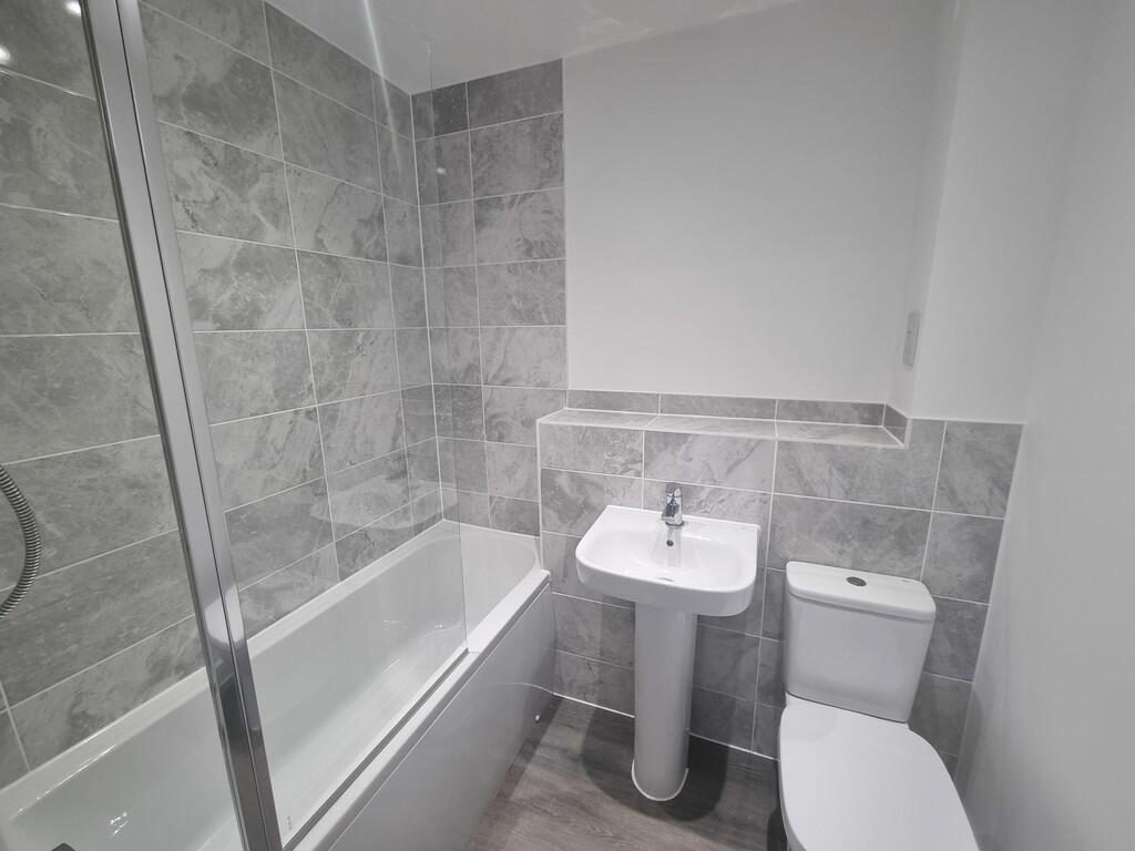
- Luxury Bathroom with Shower
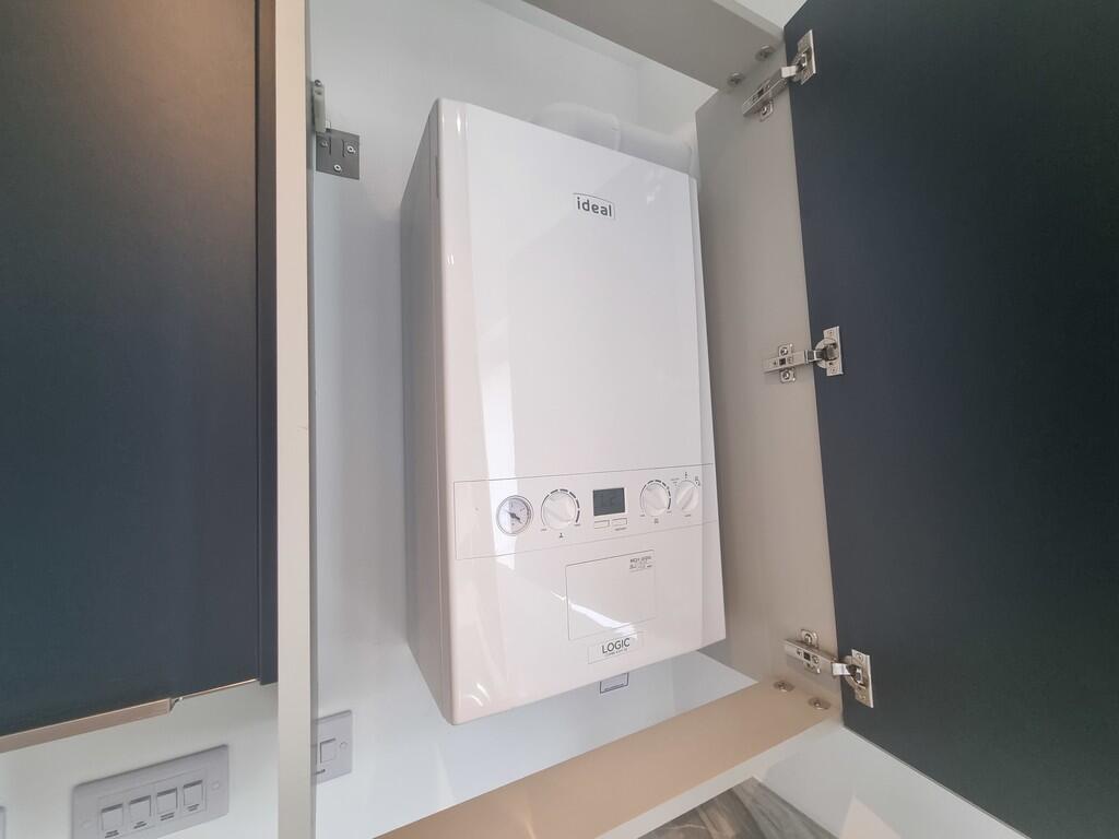
- Gas central heating
- Unfurnished
- Walking Distance to Shirley
- Double Glazed & Energy Efficient
Additional details
- Parking
- Allocated
Description
Lucas Green is a sought-after development of homes in the town of Solihull, which is just 30 minutes' drive away from central Birmingham. Offering a wonderful range of 2-bedroom apartments and 2, 3, and 4-bedroom homes, Lucas Green is an ideal location for a variety of potential renters, including families, young professionals, and commuters.
Listed by
Olton
ENCASA SALES & LETTINGS LIMITED
Reference: 166643930
EPC Rating & Upgrade Cost
Current rating: B
Potential rating: B
Inspection date: 27/06/2024
Expiry date: 26/06/2034
Current heating cost: £309/year
Potential heating cost: £309/year
Flood risk
Zone: 1
Risk: Low
Job (default Low)
Rental Range
Estimated market rent for Solihull. Low = conservative, Realistic = average, Optimistic = best case.
Based on Local Authority from postcode lookup → Solihull.
LHA (30th percentile) floor for Solihull: £823/mo (Apr 2025 – Mar 2026)
Location
Nearby
Nearest stations, universities and amenities (distance from property).
| Type | Name | Distance |
|---|---|---|
| Shop | Porcelanosa | 0.1 miles |
| Bus stop | Stratford Rd / Cranmore Boulevard | 0.1 miles |
| Bus stop | Blackford Rd / Our Lady Of The Wayside School | 0.1 miles |
| Shop | Kwik Fit | 0.2 miles |
| Train station | Shirley | 1.3 miles |
| Train station | Whitlocks End | 1.4 miles |
| Hospital | Solihull Hospital | 2.4 miles |
| Hospital | Marie Curie Hospice | 2.7 miles |
| University | Birmingham City University, Bournville Campus | 5.5 miles |
| University | University of Birmingham School of Dentistry | 5.5 miles |
Street-level crime
| Category | Count |
|---|---|
| Shoplifting | 53 |
| Violence and sexual offences | 34 |
| Vehicle crime | 17 |
| Public order | 14 |
| Other theft | 10 |
| Possession of weapons | 7 |
| Anti-social behaviour | 6 |
| Criminal damage and arson | 6 |
| Other crime | 3 |
| Burglary | 2 |
| Drugs | 2 |
| Robbery | 1 |
| Total incidents | 155 |
Within 1 mile during Apr 2026. Source: data.police.uk (England & Wales).
Schools nearby
Nearest open schools with Ofsted ratings (England). Closed schools are not shown. Data from Get Information about Schools and Ofsted.
| Name | Type | Distance | Ofsted |
|---|---|---|---|
| Our Lady of the Wayside Catholic Primary School | Primary | 0.2 miles | Good — 17 Jul 2013 |
| Woodlands Infant School | Primary | 0.5 miles | Good — 10 Nov 2022 |
| Shirley Heath Junior School | Primary | 0.6 miles | — (Inspected (no overall grade)) |
| Solihull Alternative Provision Academy | Other | 0.6 miles | Good — 13 Oct 2022 |
| Light Hall School | Secondary | 0.6 miles | Good — 10 Nov 2021 |
Rental Comparables
Rental listings exist nearby, but none matched the 2-bedroom count for this property.