36 HAZELDEAN ROAD
LONDON, GREATER LONDON NW10 8QU
£2,200 pcm
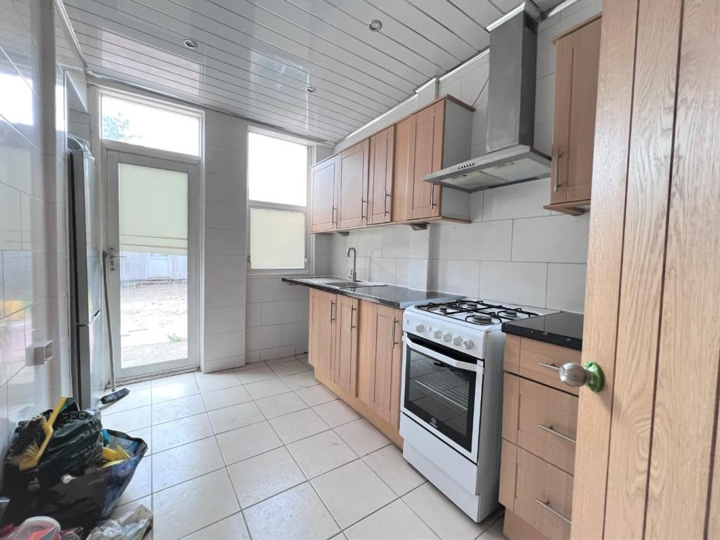
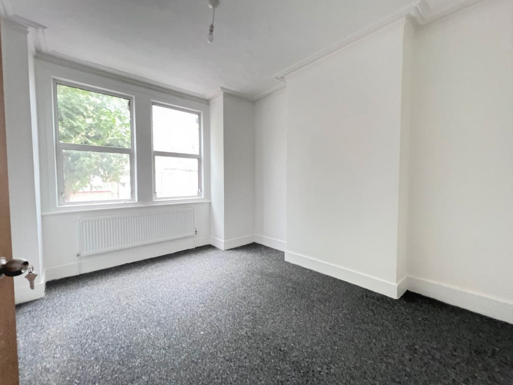

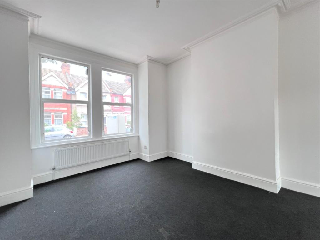
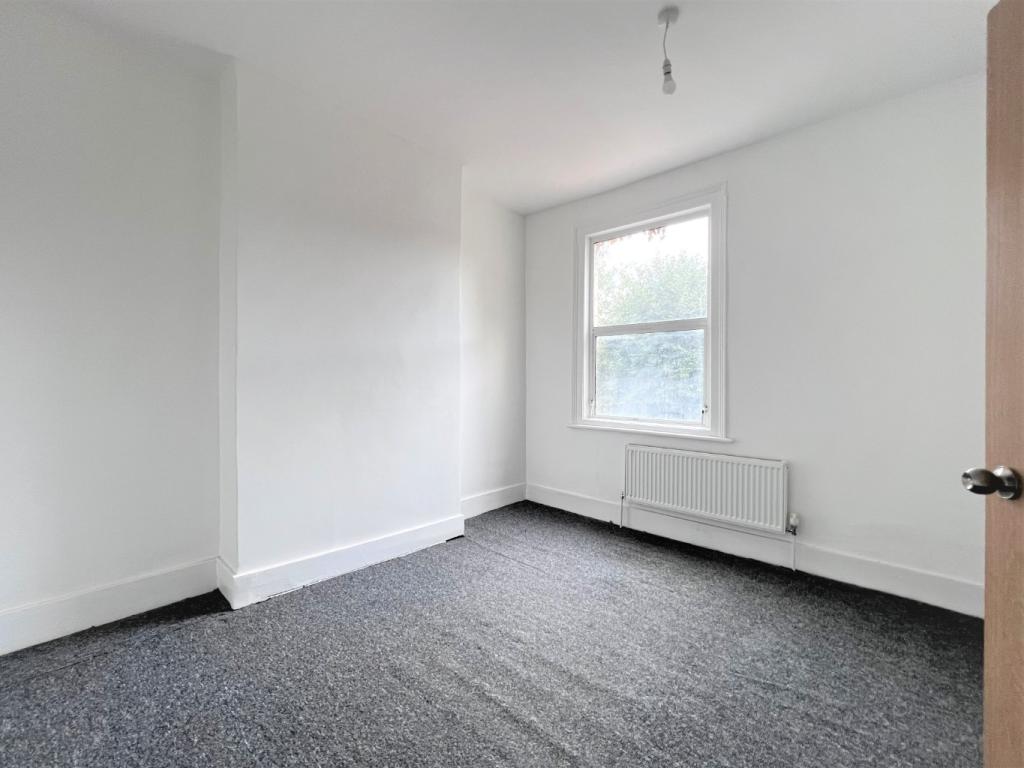
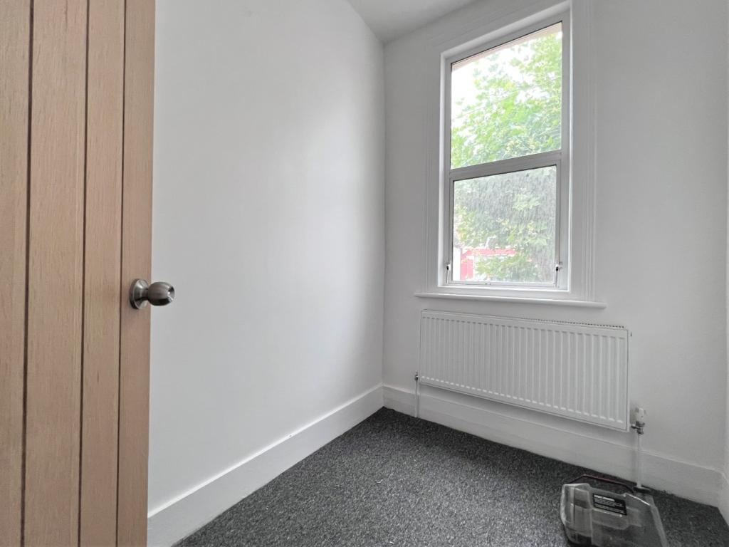
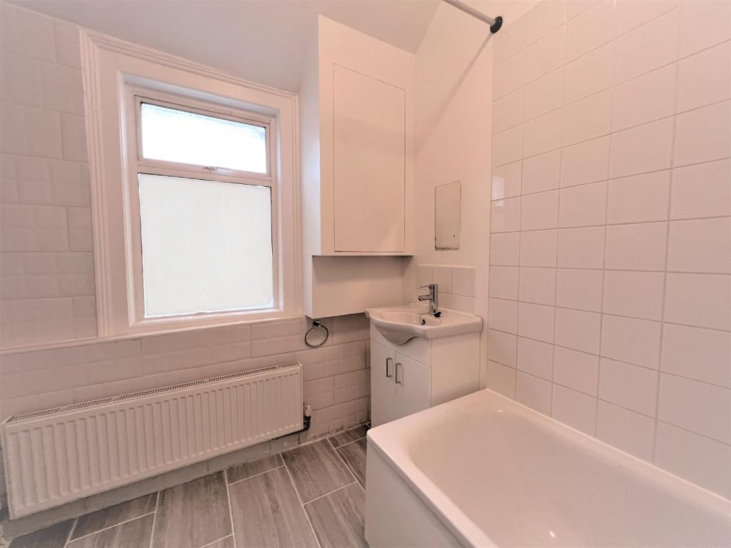
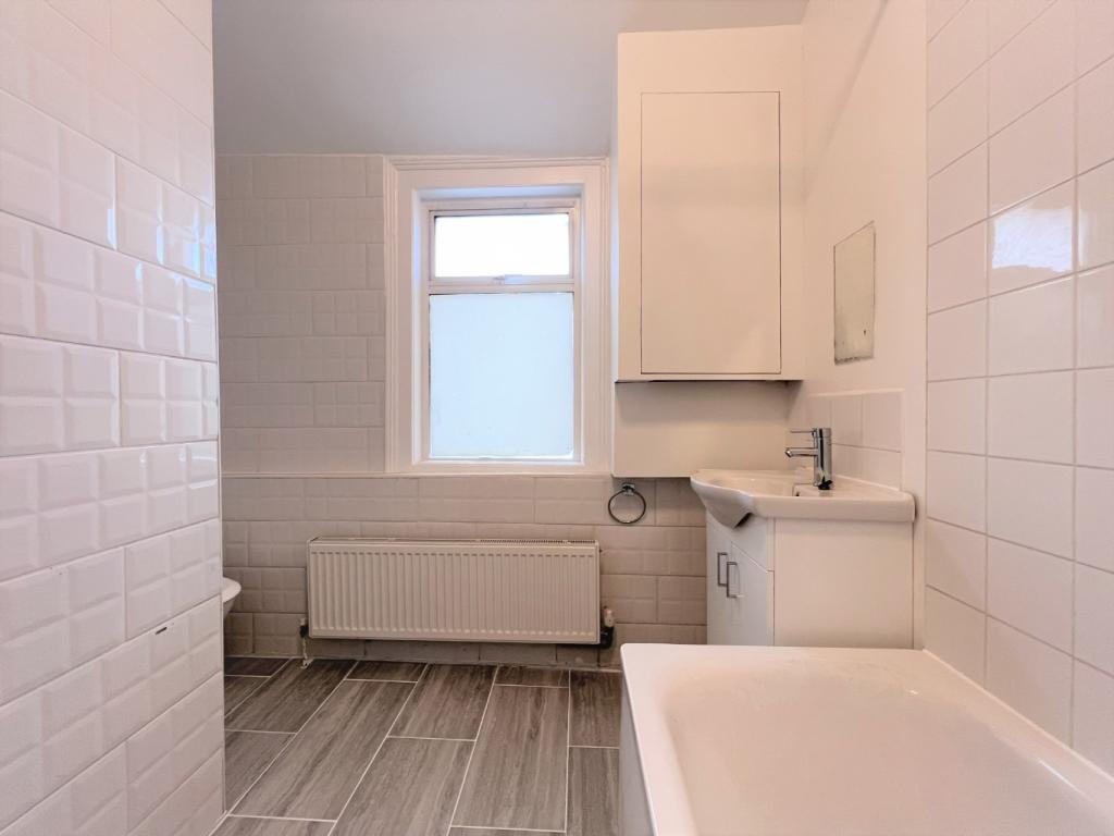
Photo 1 Photo 2 Photo 3 Photo 4 Photo 5 Photo 6 Photo 7 Photo 8 Photo 9
/ 9
Property details
Floor area
81 m²
Council tax band
D
EPC rating
C
Year built
England and Wales: 1900-1929
Deprivation
Decile 1 (2,078 of 33,755)
Street crime
870 incidents within 1 mile (Apr 2026)
Key features
- Newly decorated
- 3 Bedroom Terraced House
- Located just of Bruce Grove near Craven Park
- Through Lounge with Access to Rear Garden
- 3 Good Size Bedrooms
- Large Family Bathroom on The First Floor
- Separate Kitchen with Appliances with Access to Rear Garden
- Unfurnished
- Available Now
- EPC Rating C
Additional details
- Parking
- On street
- Garden
- Yes
Description
1 month rent and 5 weeks deposit is required.EPC Rating CBrent Council Tax Band D (£1815.07 per annum)
Listed by
Wembley
Grey & Co
Reference: 126641978
EPC Rating & Upgrade Cost
Current rating: C
Potential rating: B
Inspection date: 26/01/2021
Expiry date: 25/01/2031
Current heating cost: £467/year
Potential heating cost: £333/year
Est. upgrade cost to C: £19,520
Recommendations
- 50 mm internal or external wall insulation (£4,000 - £14,000)
- Floor insulation (suspended floor) (£800 - £1,200)
- Low energy lighting for all fixed outlets (£20)
- Solar water heating (£4,000 - £6,000)
- Solar photovoltaic panels, 2.5 kWp (£3,500 - £5,500)
Flood risk
Zone: 1
Risk: Low
Job (default Low)
Rental Range
Estimated market rent for Brent. Low = conservative, Realistic = average, Optimistic = best case.
Based on Local Authority from postcode lookup → Brent.
Location
Nearby
Nearest stations, universities and amenities (distance from property).
| Type | Name | Distance |
|---|---|---|
| Bus stop | Fawood Avenue | 0.1 miles |
| Shop | Londis | 0.2 miles |
| Shop | Tesco Express | 0.2 miles |
| Train station | Harlesden | 0.5 miles |
| Train station | Neasden | 0.8 miles |
| University | Scale Space White City | 2.5 miles |
| University | Kennet West Skills Centre | 2.7 miles |
| Hospital | The Portland Hospital | 5.1 miles |
| Hospital | Sleep & Health Clinic | 5.2 miles |
Street-level crime
| Category | Count |
|---|---|
| Anti-social behaviour | 244 |
| Violence and sexual offences | 233 |
| Vehicle crime | 75 |
| Criminal damage and arson | 57 |
| Other theft | 45 |
| Drugs | 41 |
| Burglary | 36 |
| Public order | 34 |
| Robbery | 29 |
| Theft from the person | 20 |
| Possession of weapons | 17 |
| Shoplifting | 16 |
| Other crime | 13 |
| Bicycle theft | 10 |
| Total incidents | 870 |
Within 1 mile during Apr 2026. Source: data.police.uk (England & Wales).
Schools nearby
Nearest open schools with Ofsted ratings (England). Closed schools are not shown. Data from Get Information about Schools and Ofsted.
| Name | Type | Distance | Ofsted |
|---|---|---|---|
| Brent KS2 PRU | Other | 0.2 miles | — (No rating) |
| Fawood Nursery School & Family Wellbeing Centre | Nursery | 0.2 miles | Good — 22 Oct 2019 |
| St Joseph's Roman Catholic Primary School | Primary | 0.3 miles | Outstanding — 12 Mar 2024 |
| Edith Kay Independent School | Other | 0.3 miles | Good — 19 Mar 2024 |
| Curzon Nursery School & Family Wellbeing Centre | Nursery | 0.3 miles | Good — 18 Mar 2020 |
Rental Comparables
Residential lets from OpenRent and Rightmove for the area (same bedroom count). Use to validate rent estimates. Student lets are excluded.
| Title | Rent | Beds | Distance | As seen on |
|---|---|---|---|---|
| 3 Bed Flat, Milton Avenue, NW10 | £600/mo | 3 | 0.41 miles | OpenRent |
Average rent: £600/mo (1 listing)