7 CROXTETH ROAD
BOOTLE, BOOTLE, MERSEYSIDE L20 5EA
£500 pcm
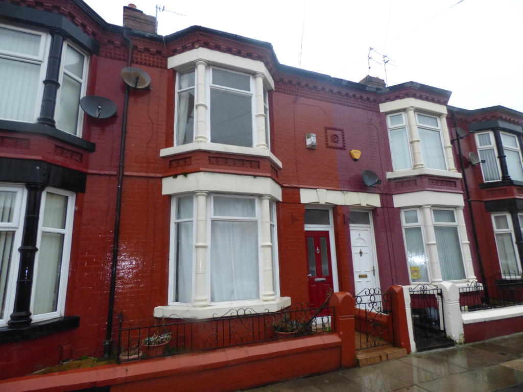
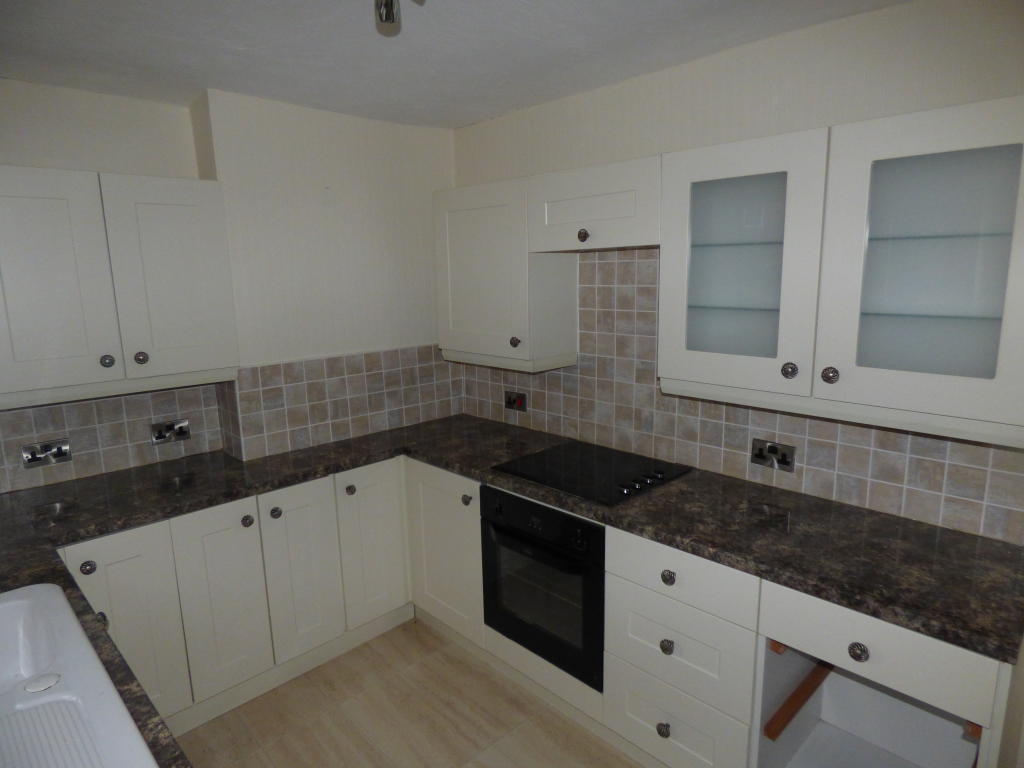
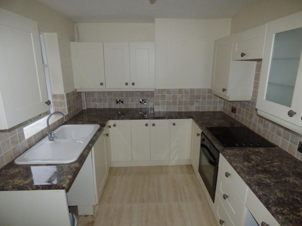
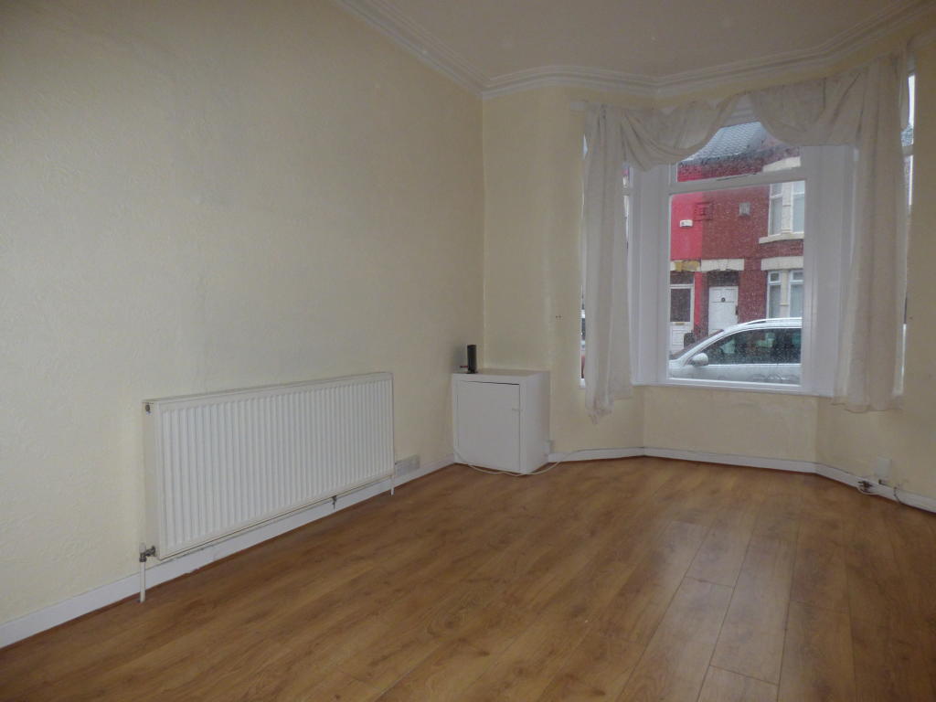
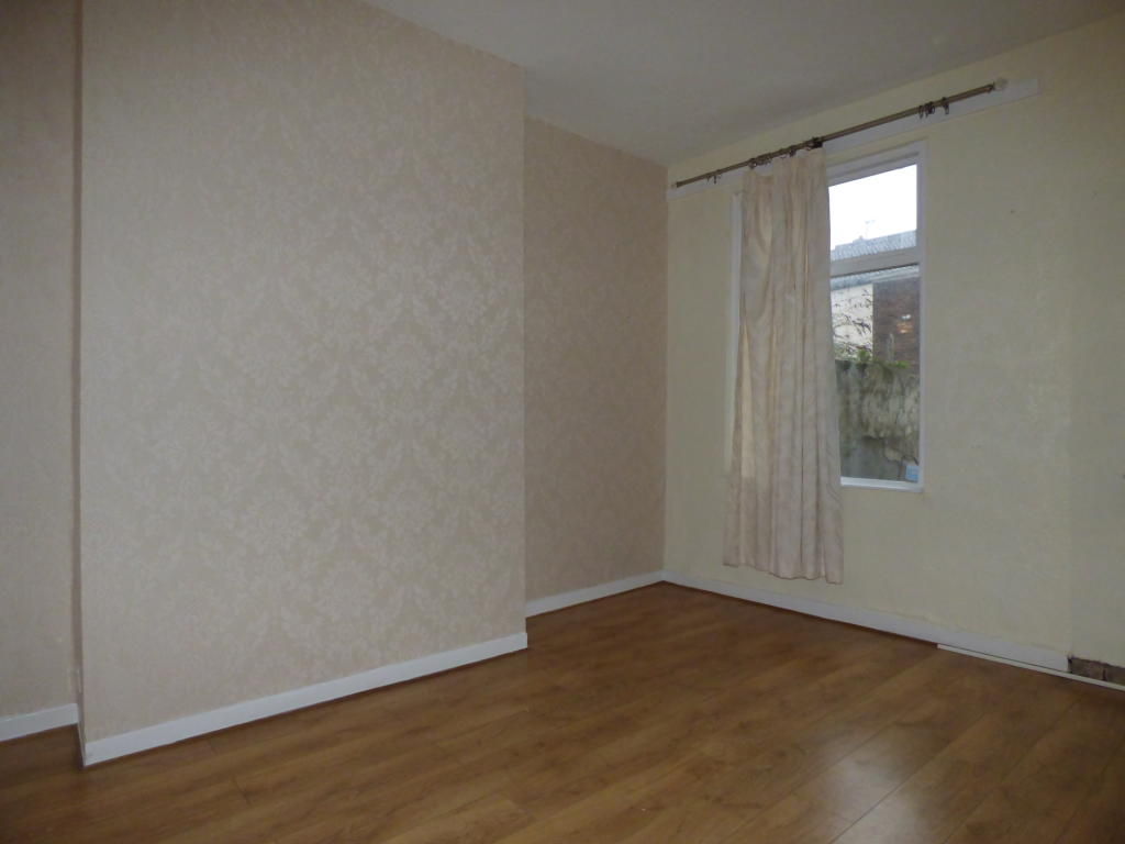
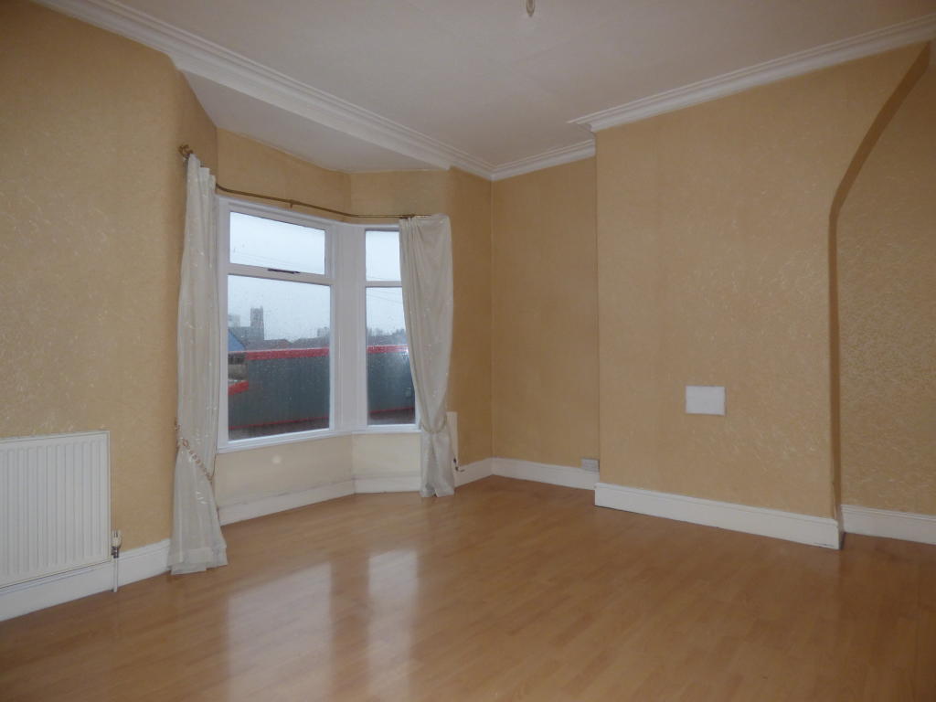
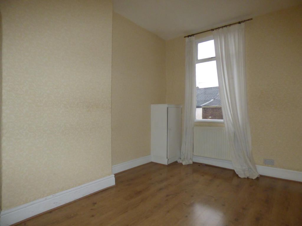
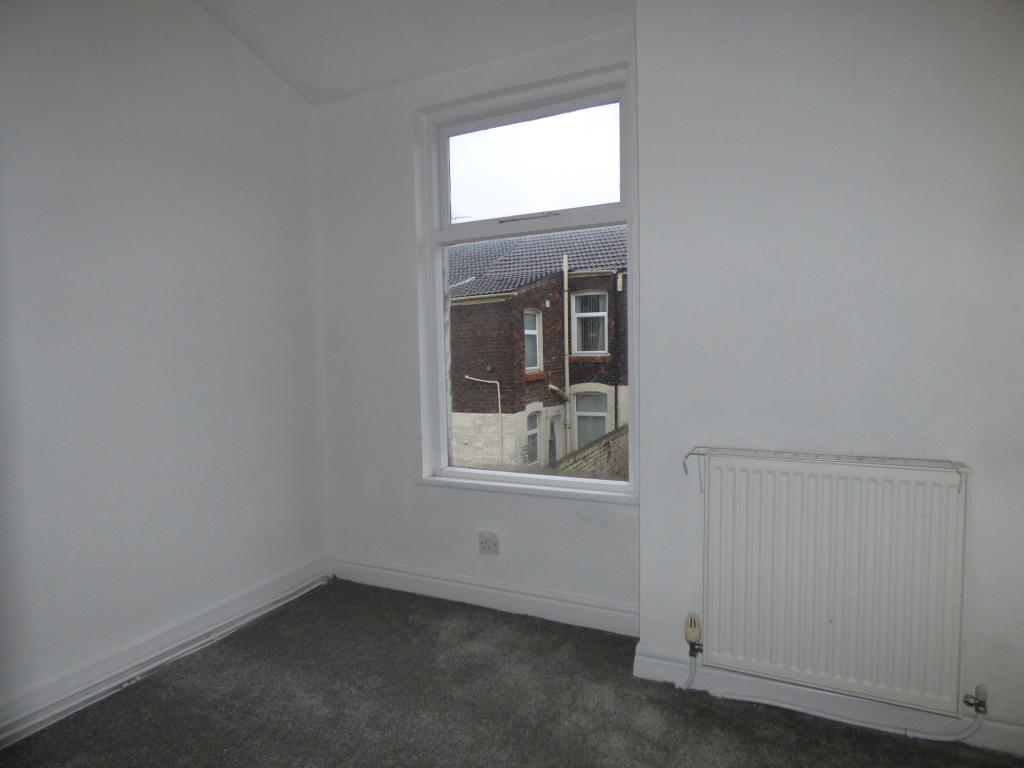
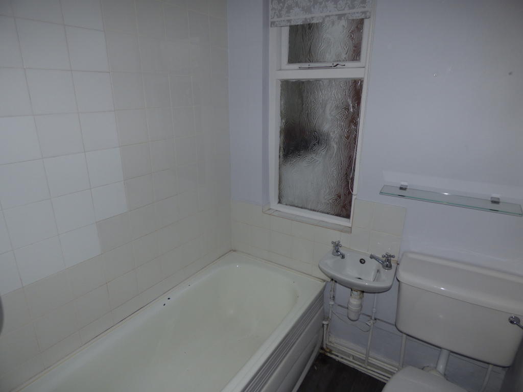
Photo 1 Photo 2 Photo 3 Photo 4 Photo 5 Photo 6 Photo 7 Photo 8 Photo 9
/ 9
Property details
Floor area
97 m²
EPC rating
D
Year built
England and Wales: 1900-1929
Deprivation
Decile 1 (409 of 33,755)
Street crime
459 incidents within 1 mile (Mar 2026)
Key features
- Excellent location with good transport links
- Modern living
- Spacious rooms
- Rear yard
- Close to schools
- Available to move in November
Additional details
- Garden
- Yes
Description
Offered on an unfurnished basis and briefly comprises of the following:
- Two separate reception rooms to the front and rear of the property offering a living room with a rear dining room leading to the kitchen
- Modern family sized kitchen with integrated oven/ hob, modern wall and base units and room for additional white goods
- Three upstairs bedrooms with two large doubles and a further single room all neutrally decorated throughout
- Upstairs family sized bathroom with bath/ shower, wash basin and toilet
- Rear yard, on - street parking and gas central heating throughout
Situated close to all local amenities and within walking distance of a number of highly recommended primary and secondary schools, this property is in an excellent location and could be an ideal family home. For any further information or to arrange your viewing, call our team today on .
Listed by
Maghull
Countrywide UK Lettings - Connells
Reference: 75799471
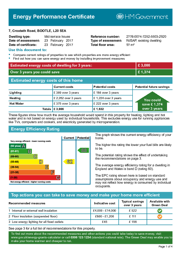
EPC Rating & Upgrade Cost
Current rating: D
Potential rating: B
Inspection date: 23/02/2017
Current heating cost: £754/year
Potential heating cost: £408/year
Est. upgrade cost to C: £29,445
Recommendations
- 50 mm internal or external wall insulation (£4,000 - £14,000)
- Floor insulation (suspended floor) (£800 - £1,200)
- Low energy lighting for all fixed outlets (£45)
- Upgrade heating controls (£350 - £450)
- Replace boiler with new condensing boiler (£2,200 - £3,000)
- Solar water heating (£4,000 - £6,000)
- Replace single glazed windows with low-E double glazing (£3,300 - £6,500)
- Solar photovoltaic panels, 2.5 kWp (£5,000 - £8,000)
Flood risk
Zone: 1
Risk: Low
Job (default Low)
EPC Graphs
EPC Image
Rental Range
Estimated market rent for Sefton. Low = conservative, Realistic = average, Optimistic = best case.
Based on Local Authority from postcode lookup → Sefton.
LHA (30th percentile) floor for Greater Liverpool: £648/mo (Apr 2025 – Mar 2026)
Location
Nearby
Nearest stations, universities and amenities (distance from property).
| Type | Name | Distance |
|---|---|---|
| Bus stop | KNOWSLEY ROAD/HORNBY ROAD | 0.1 miles |
| Shop | Bitcoin Hoodies | 0.2 miles |
| Shop | Hawthorne Local | 0.4 miles |
| Train station | Bootle New Strand | 0.5 miles |
| Train station | Seaforth & Litherland | 0.5 miles |
| Hospital | DRIVE THROUGH PHLEBOTOMY | 2.6 miles |
| Hospital | Rathbone Hospital | 4.9 miles |
| University | Liverpool Hope University | 6.4 miles |
| University | Edge Hill University | 8.6 miles |
Street-level crime
| Category | Count |
|---|---|
| Violence and sexual offences | 231 |
| Anti-social behaviour | 40 |
| Shoplifting | 40 |
| Criminal damage and arson | 38 |
| Public order | 27 |
| Other theft | 25 |
| Drugs | 19 |
| Vehicle crime | 18 |
| Other crime | 6 |
| Bicycle theft | 4 |
| Burglary | 4 |
| Possession of weapons | 3 |
| Robbery | 3 |
| Theft from the person | 1 |
| Total incidents | 459 |
Within 1 mile during Mar 2026. Source: data.police.uk (England & Wales).
Schools nearby
Nearest open schools with Ofsted ratings (England). Closed schools are not shown. Data from Get Information about Schools and Ofsted.
| Name | Type | Distance | Ofsted |
|---|---|---|---|
| Thomas Gray Primary School | Primary | 0.2 miles | Good — 15 Jan 2023 |
| King's Lander Primary Academy | Primary | 0.2 miles | Good — 2 May 2018 |
| Linacre Primary School | Primary | 0.3 miles | — (No rating) |
| All Saints Catholic Primary School | Primary | 0.3 miles | Good — 11 Jul 2016 |
| St Elizabeth's Catholic Primary School | Primary | 0.3 miles | Good — 12 Jul 2017 |
Rental Comparables
Rental listings exist nearby, but none matched the 3-bedroom estimate from EPC for this property.