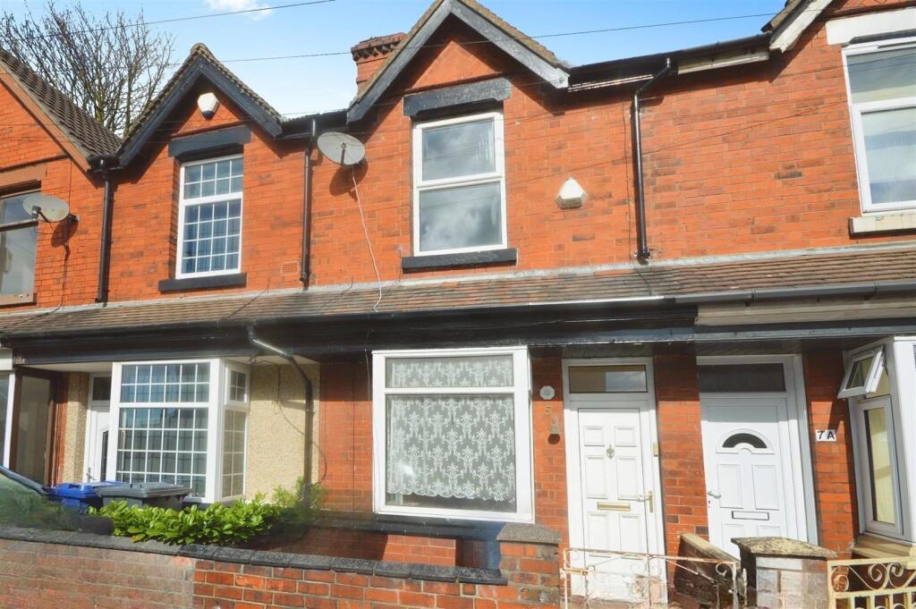
5 KIMBERLEY ROAD
NEWCASTLE, NEWCASTLE, STAFFORDSHIRE ST5 9EG
£750 pcm
user_edited_photo-c53ef562_user-edited-1c1b01c4-22 user_edited_photo-86451564_user-edited-5b7ac374-d8 user_edited_photo-1bd2196a_user-edited-05760acc-b9 dae29a4e-DSC_0378.JPG user_edited_photo-65e52482_user-edited-44820e60-19 Photo 6 user_edited_photo-1b677a67_user-edited-c39efd1d-54 user_edited_photo-de2377dc_user-edited-f8f87e55-ba Photo 9 user_edited_photo-f5f16b0a_user-edited-5fd6242b-8f Photo 11 user_edited_photo-ad746b00_user-edited-1d391d49-cb user_edited_photo-7e86a787_user-edited-7a2db663-5c
/ 13
Property details
Floor area
77 m²
Council tax band
A
Deprivation
Decile 4 (10,529 of 33,755)
Street crime
332 incidents within 1 mile (Apr 2026)
Key features
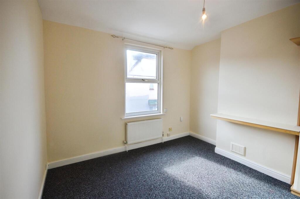
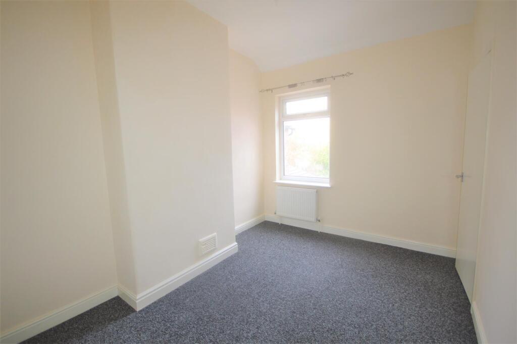
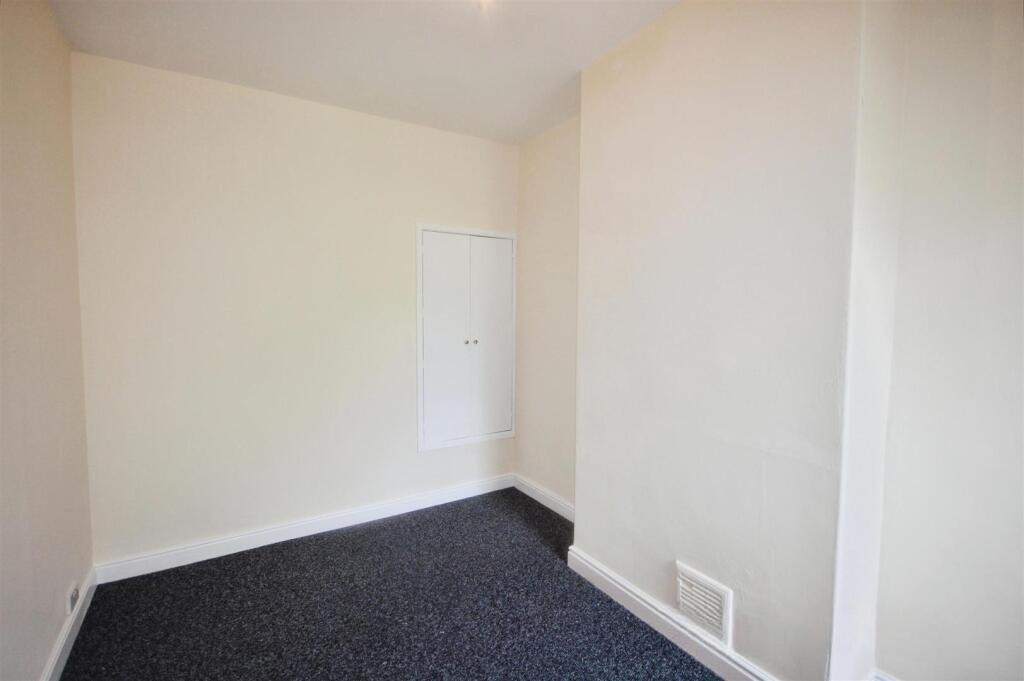
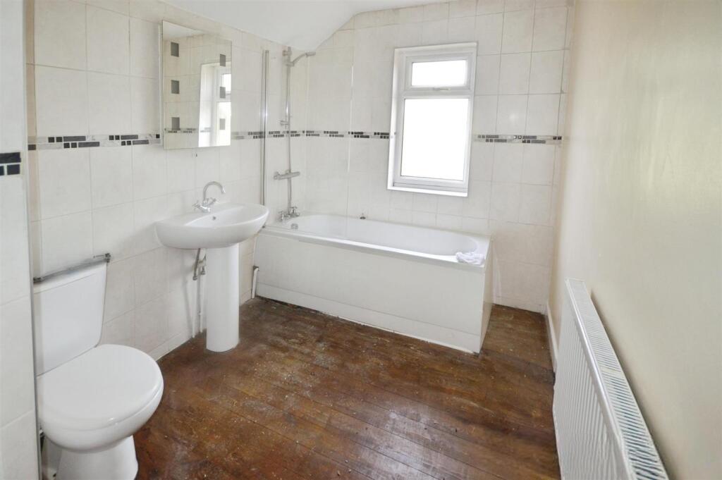
- Two bedroom mid terraced house
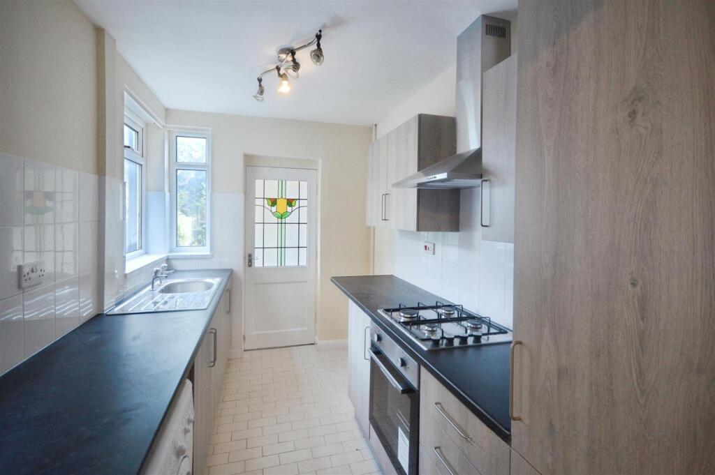
- Recently fitted attractive kitchen
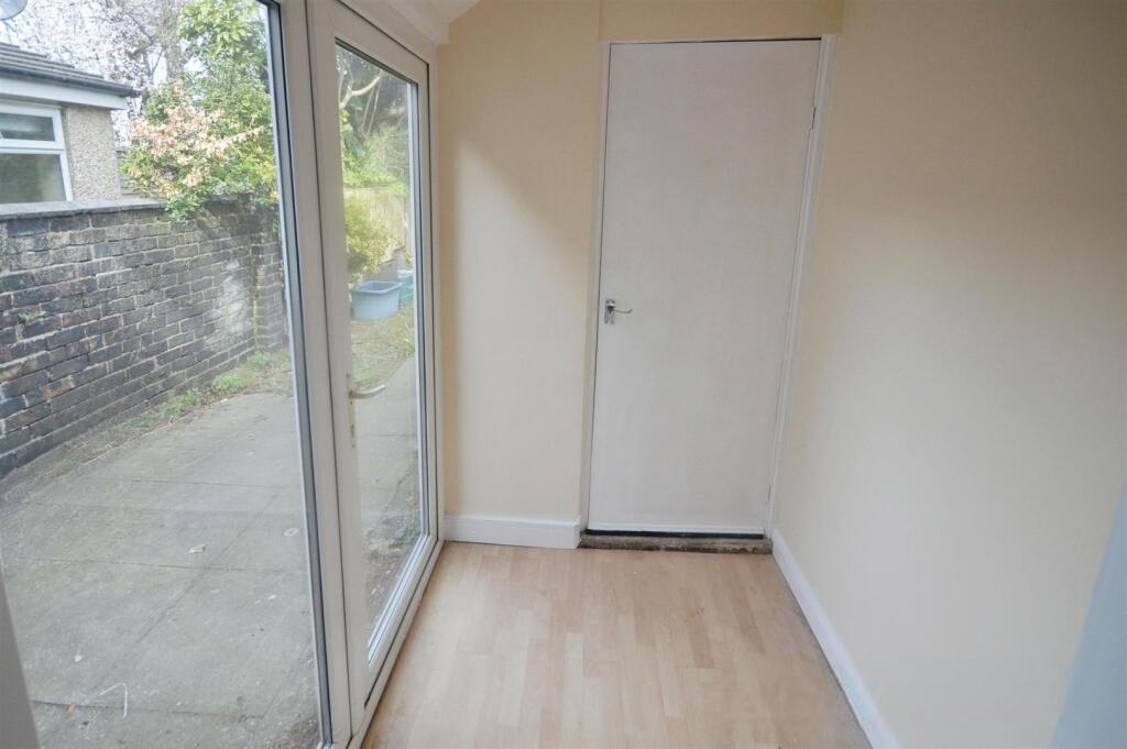
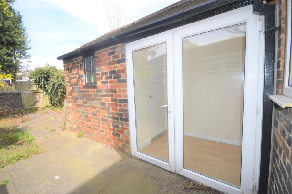
- Rear garden room
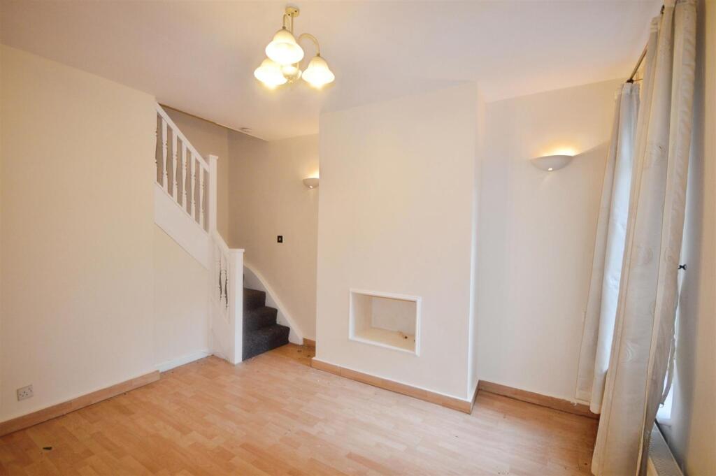
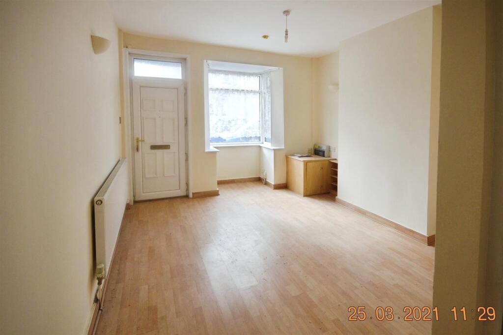
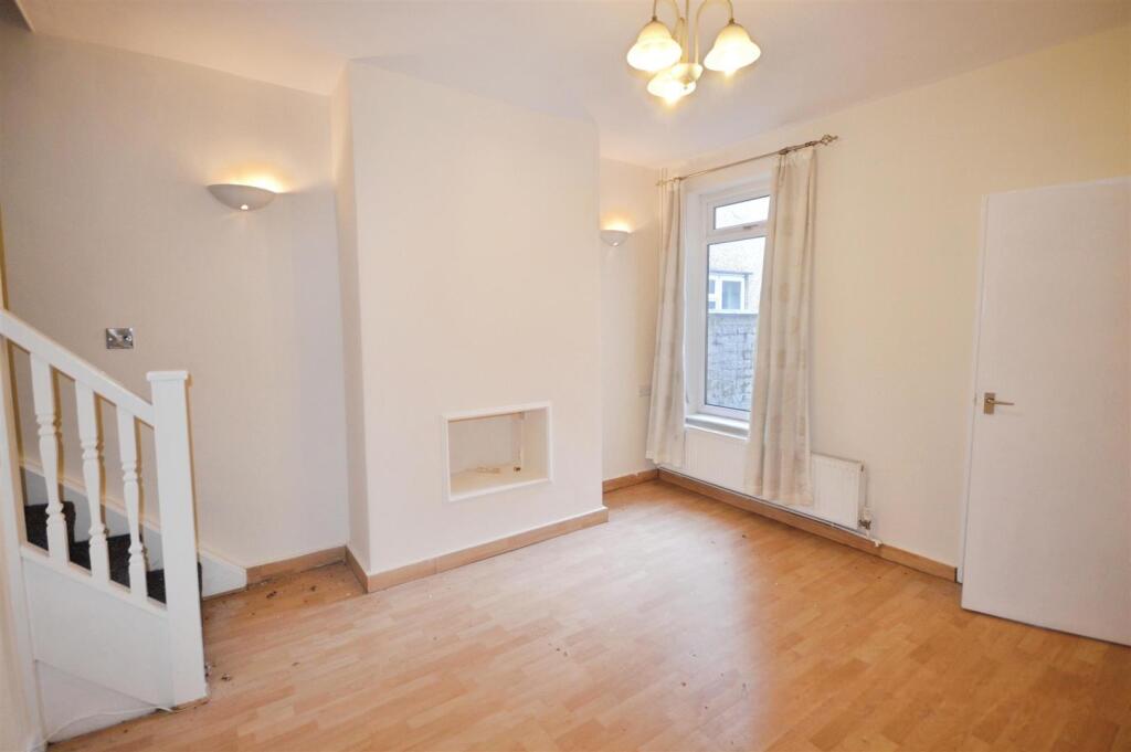
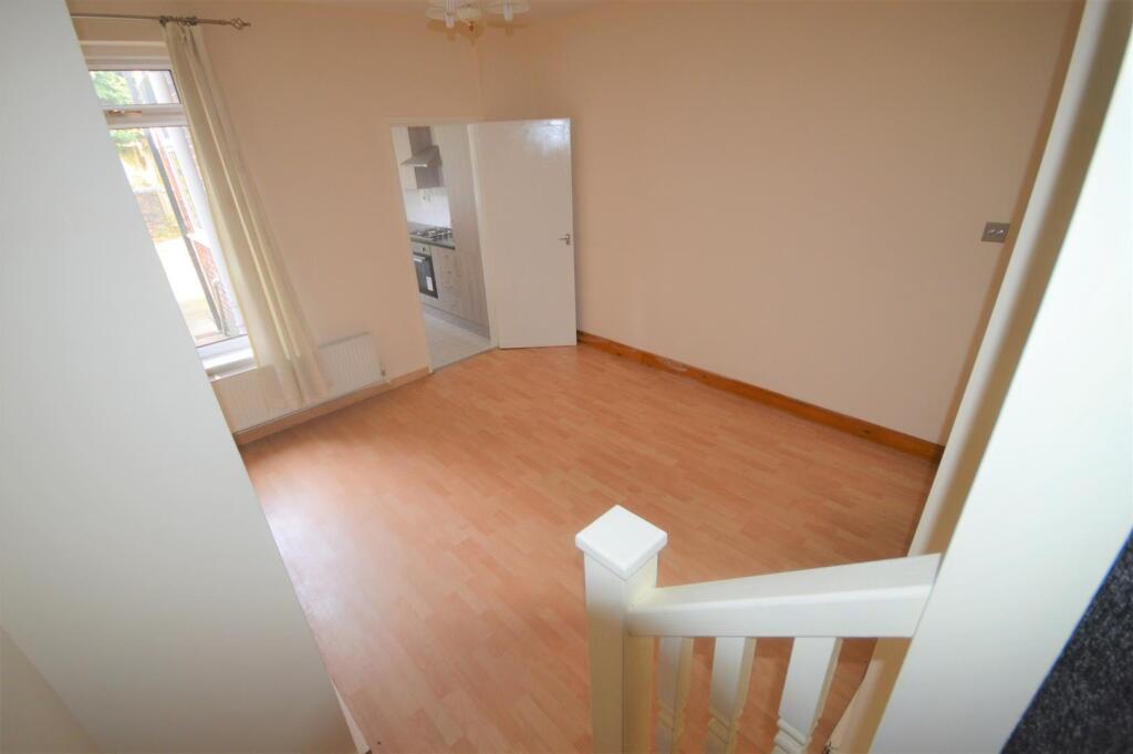
- Two reception rooms
- Walking distance to town centre
- Close to amenities and shops
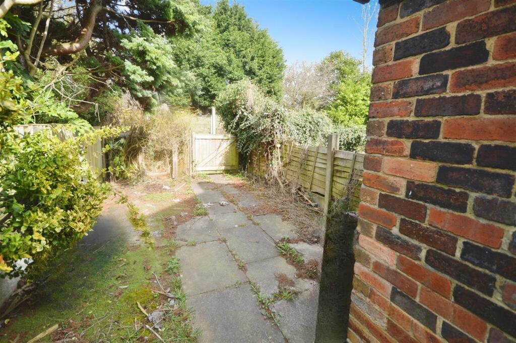
- Rear garden/patio
Additional details
- Garden
- Yes
Description
Important Notice - Whilst we endeavor to ensure accuracy of our lettings descriptions, it is the responsibility of the viewer to ask anymore specific questions in any area of importance before making a formal application. Services are not tested prior to move in. All tenancies are available initially for a minimum term which will be confirmed by property by the agent. With the exception of shared accommodation, the tenant is responsible for the council tax, water, gas and electric plus TV/media where applicable - please note we can not confirm the cost of these as they are different from person to person usage. Rent is paid one month in advance at all times. No cash alternative deposit scheme is offered.
Listed by
Newcastle Under Lyme
Stephenson Browne Ltd
Reference: 172565897
EPC Rating & Upgrade Cost
Fetching EPC data… Refresh this page in a moment.
Flood risk
Zone: 1
Risk: Low
Job (default Low)
Floorplans
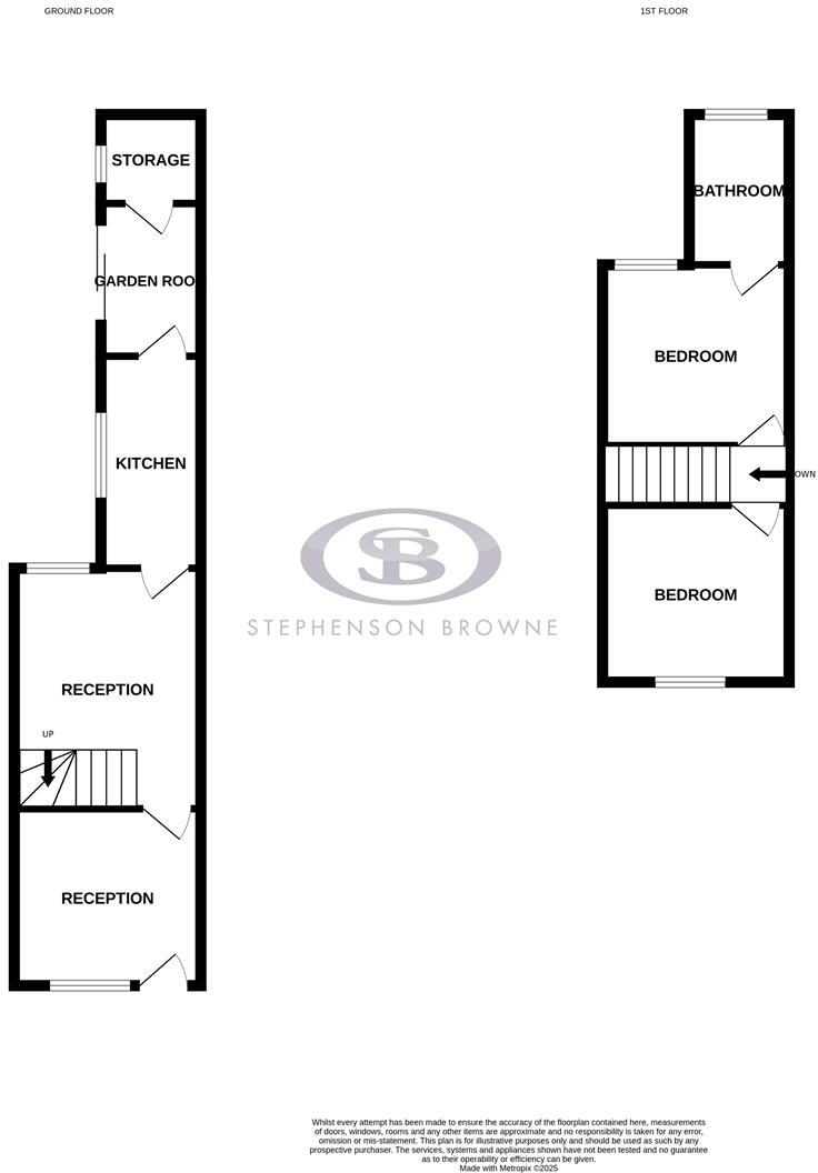
5KimberleyRoad-High.jpg
Rental Range
Estimated market rent for Newcastle-under-Lyme. Low = conservative, Realistic = average, Optimistic = best case.
Based on Local Authority from postcode lookup → Newcastle-under-Lyme.
LHA (30th percentile) floor for Staffordshire North: £479/mo (Apr 2025 – Mar 2026)
Location
Nearby
Nearest stations, universities and amenities (distance from property).
| Type | Name | Distance |
|---|---|---|
| Bus stop | Hanging Gate PH | 0.0 miles |
| Bus stop | Hassam Avenue | 0.1 miles |
| Shop | Betd | 0.2 miles |
| Shop | CTD Tiles | 0.2 miles |
| Hospital | Royal Stoke University Hospital | 1.3 miles |
| Train station | Longport | 1.7 miles |
| Train station | Silverdale | 1.8 miles |
| University | Keele University | 2.1 miles |
| University | University of Staffordshire Stoke Campus | 2.1 miles |
| Hospital | North Staffordshire Nuffield Hospital | 2.1 miles |
Street-level crime
| Category | Count |
|---|---|
| Violence and sexual offences | 98 |
| Anti-social behaviour | 69 |
| Public order | 33 |
| Shoplifting | 30 |
| Criminal damage and arson | 22 |
| Other theft | 22 |
| Burglary | 13 |
| Drugs | 13 |
| Other crime | 11 |
| Vehicle crime | 11 |
| Possession of weapons | 4 |
| Robbery | 3 |
| Theft from the person | 2 |
| Bicycle theft | 1 |
| Total incidents | 332 |
Within 1 mile during Apr 2026. Source: data.police.uk (England & Wales).
Schools nearby
Nearest open schools with Ofsted ratings (England). Closed schools are not shown. Data from Get Information about Schools and Ofsted.
| Name | Type | Distance | Ofsted |
|---|---|---|---|
| St John Fisher Catholic College | Secondary | 0.3 miles | Requires improvement — 5 Mar 2024 |
| Hempstalls Primary School | Primary | 0.3 miles | — (Inspected (no overall grade)) |
| Newcastle and Stafford Colleges Group | Other | 0.4 miles | — (No rating) |
| St Mary's Catholic Primary School | Primary | 0.4 miles | Good — 17 Feb 2017 |
| Merryfields School | Other | 0.5 miles | Good — 30 Apr 2014 |
Rental Comparables
Residential lets from OpenRent and Rightmove for the area (same bedroom count). Use to validate rent estimates. Student lets are excluded.
Average rent: £842/mo (54 listings)