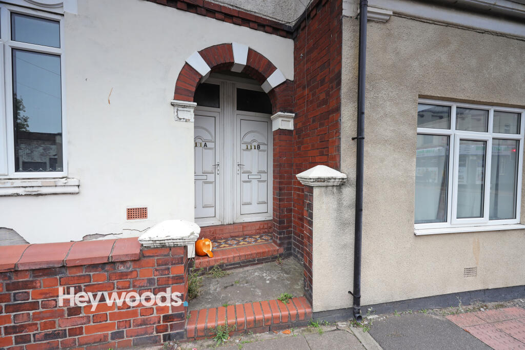
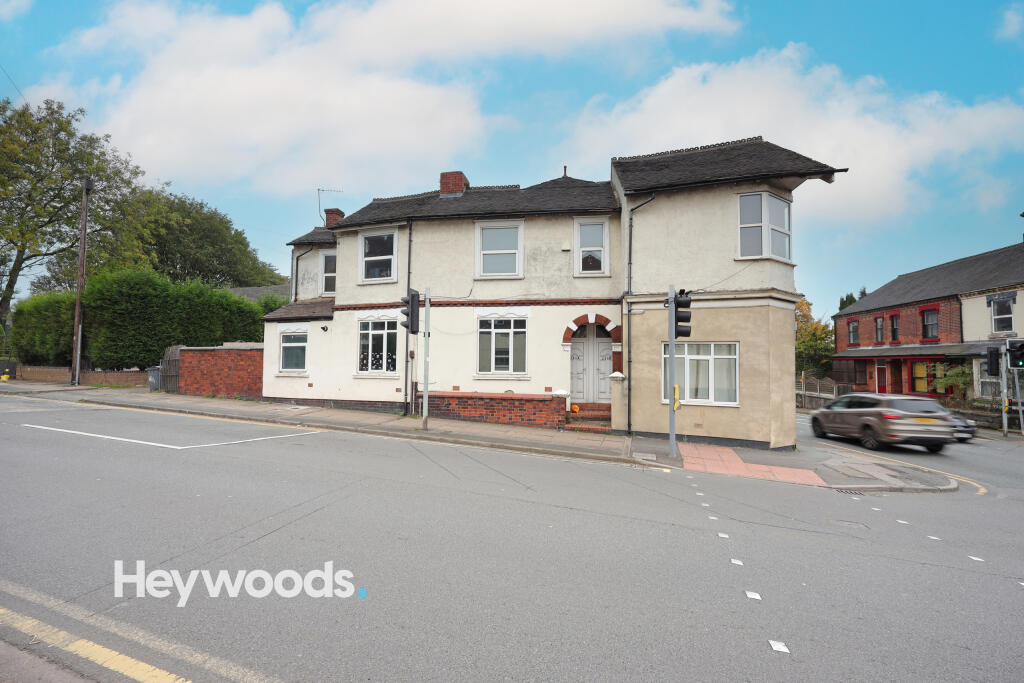
111B
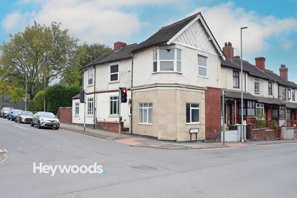
VICTORIA STREET, STOKE-ON-TRENT, STOKE-ON-TRENT ST4 6EH
£575 pcm
Property details
Floor area
42 m²
Council tax band
A
Deprivation
Decile 4 (11,573 of 33,755)
Street crime
422 incidents within 1 mile (Mar 2026)
Key features
- Available Now
- Grounder Floor Flat (steps to front door)
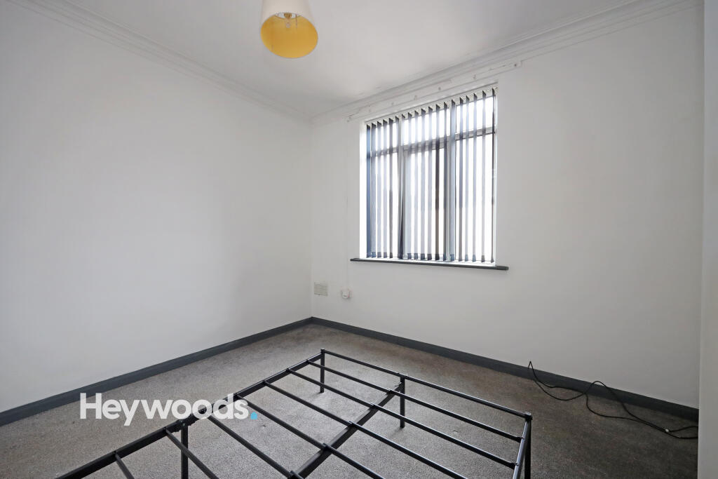
- One Bedroom
- Walking Distance to Royal Stoke Hospital
- Walking Distance to Bet365
Additional details
- Accessibility
- No wheelchair access
- Parking
- Yes
Description
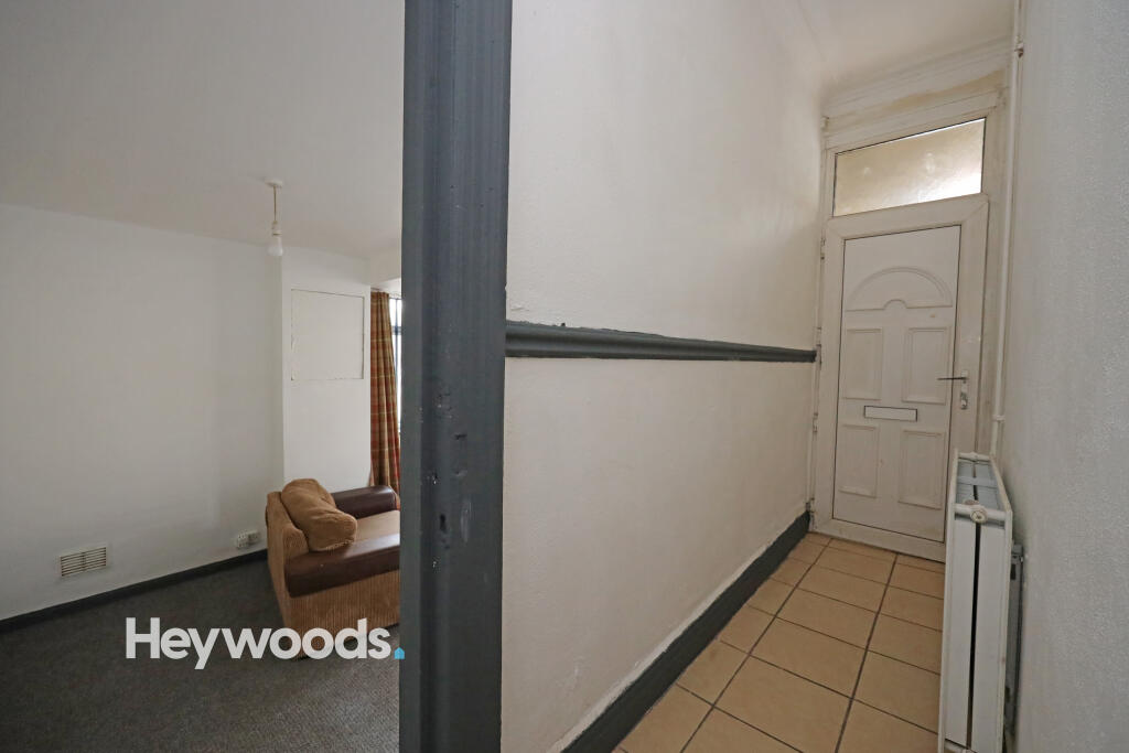
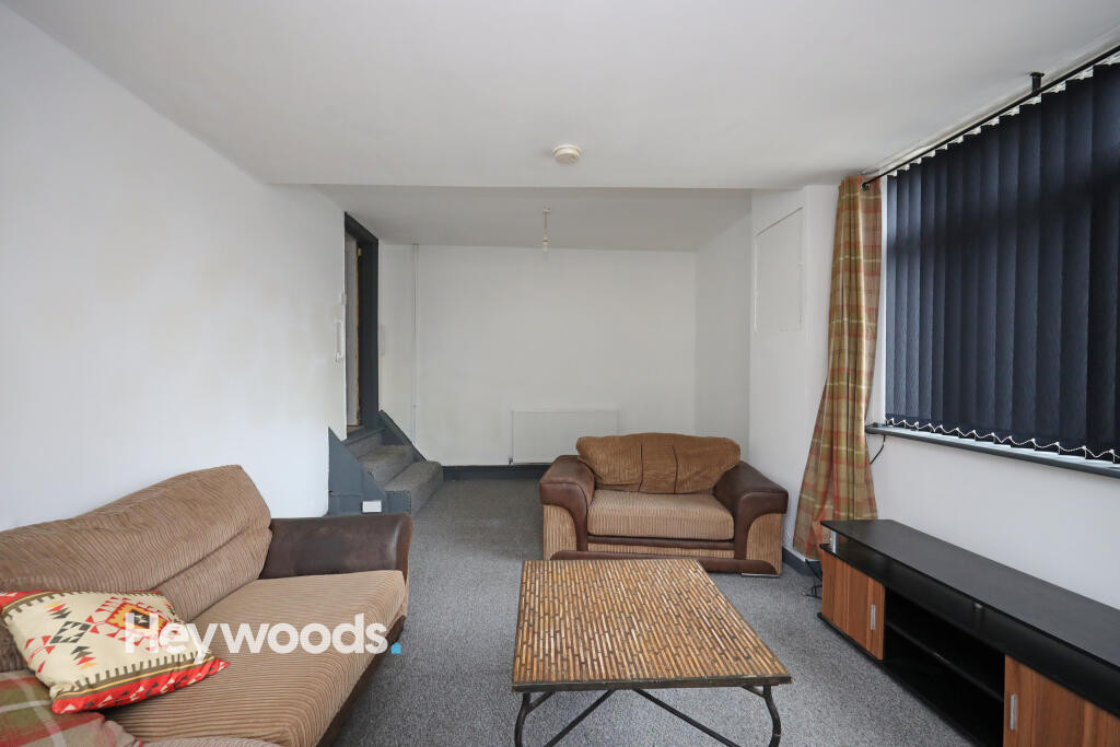
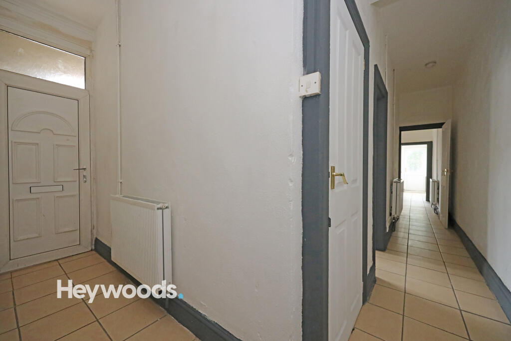
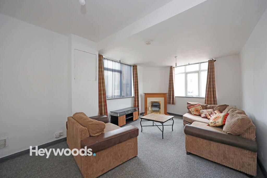
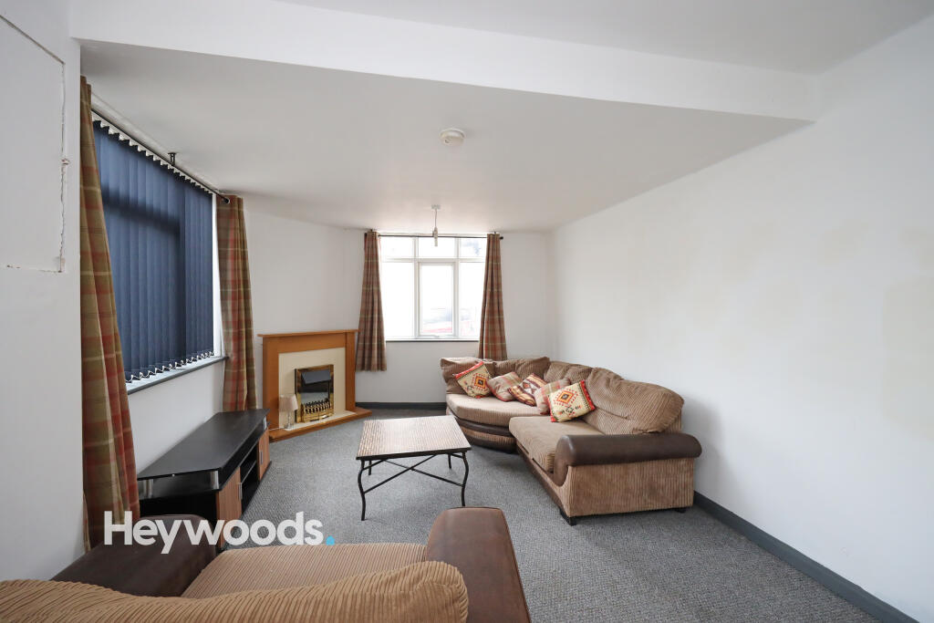
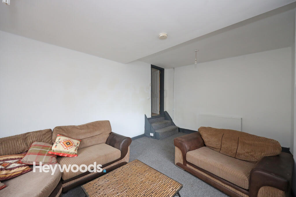
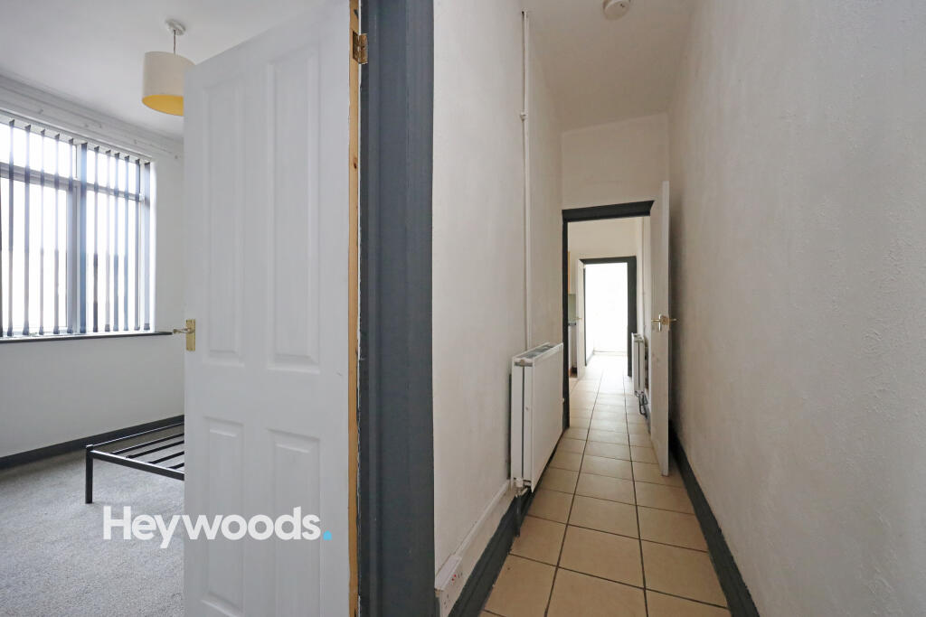
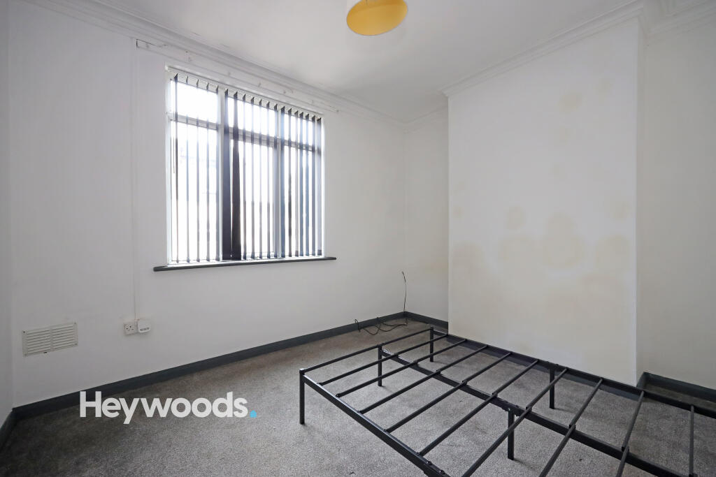
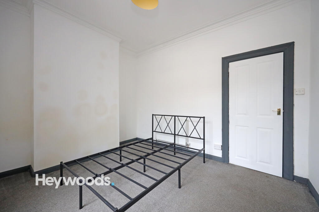
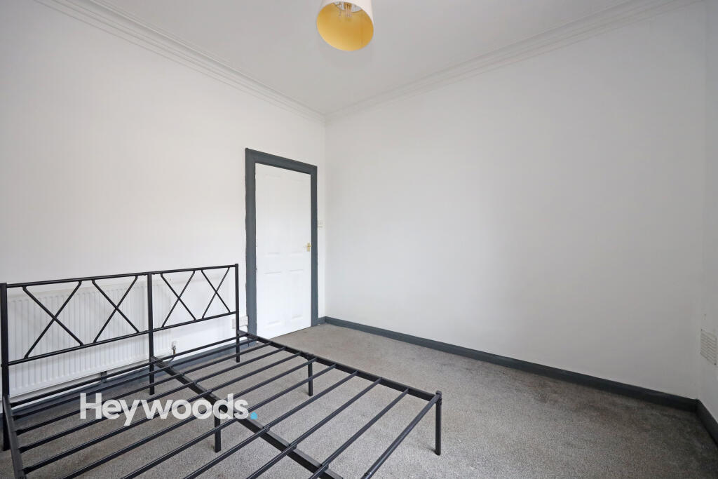
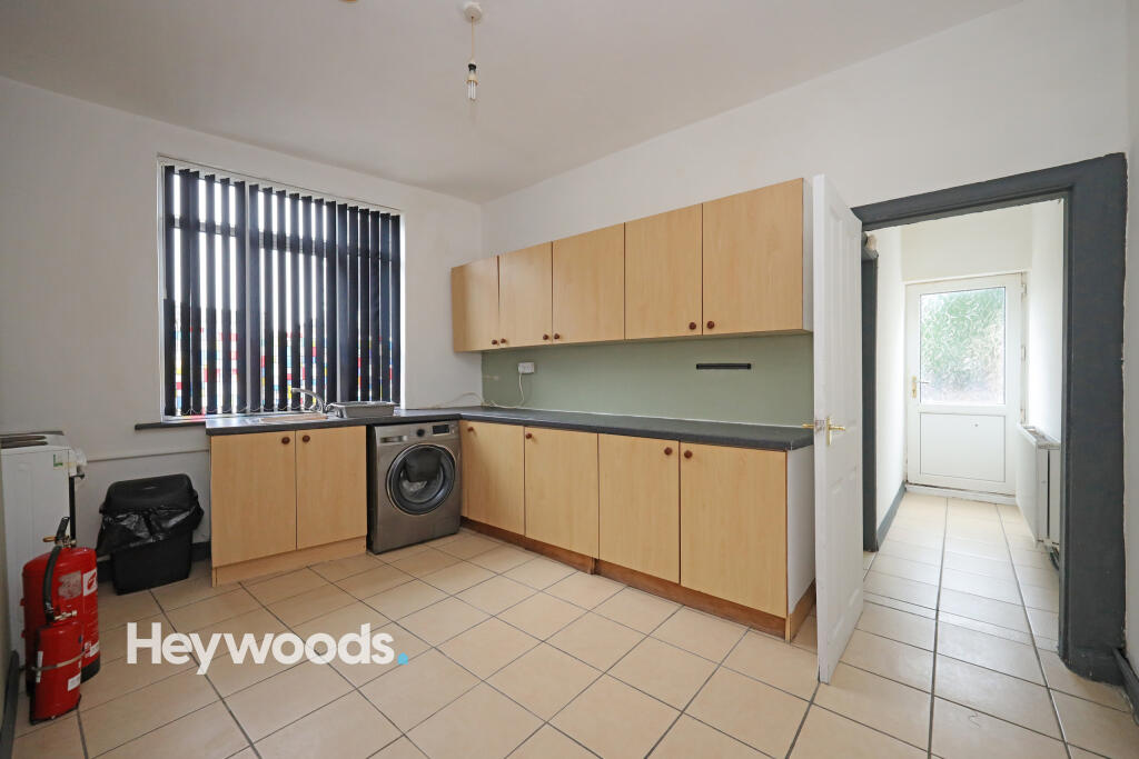
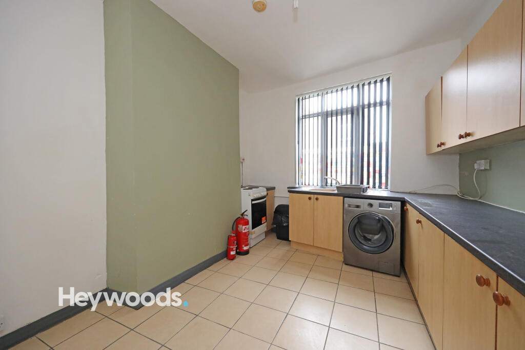
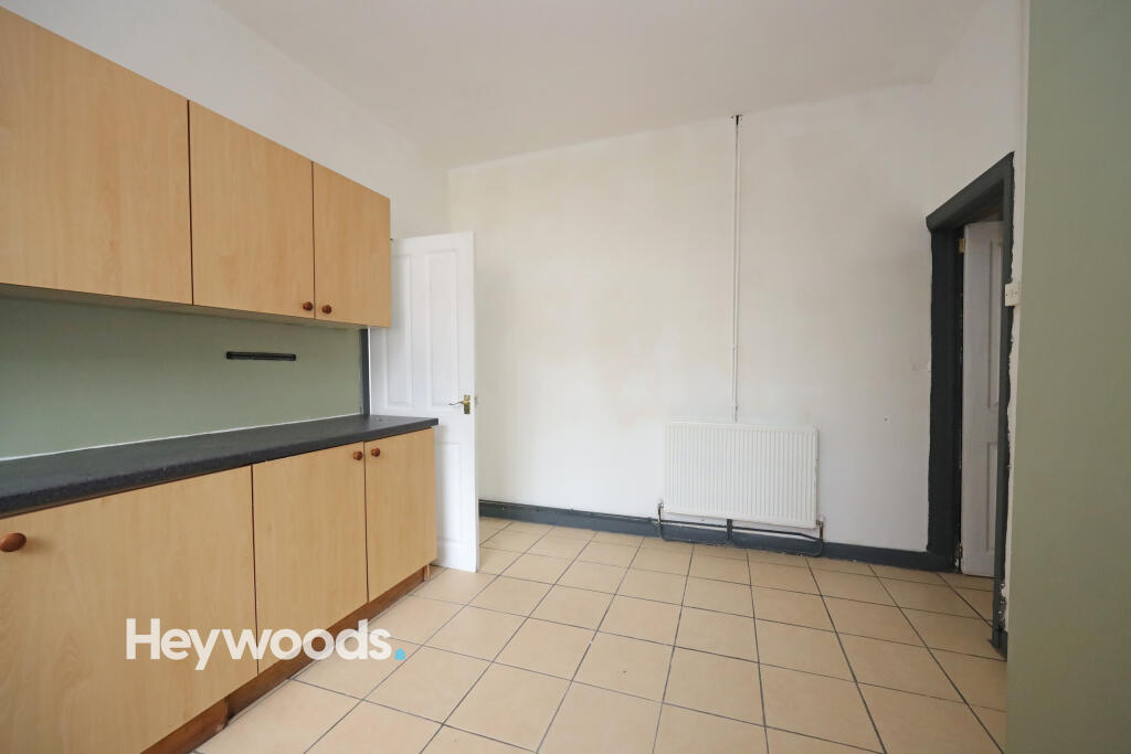
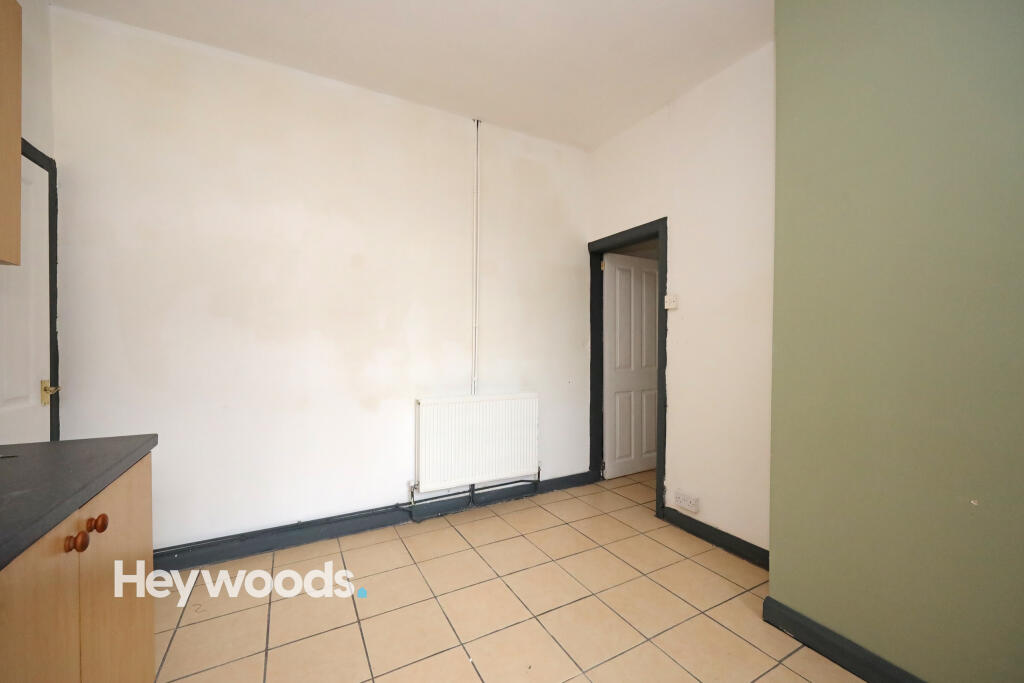
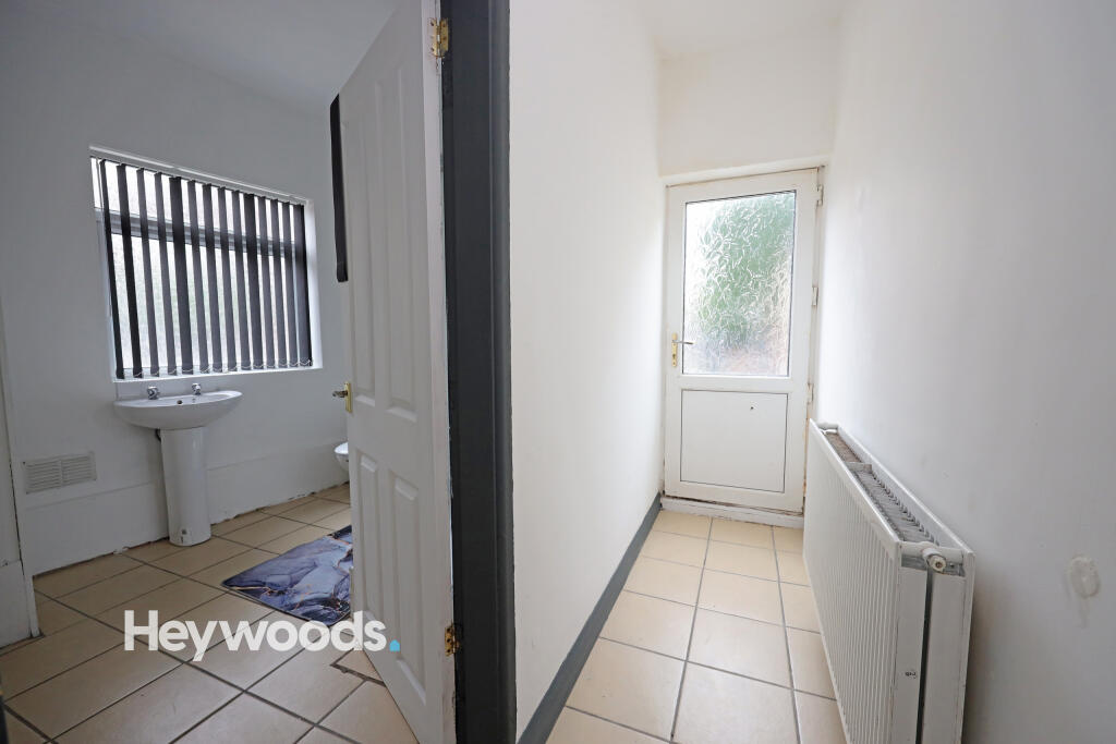
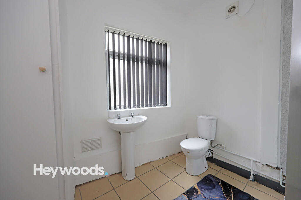
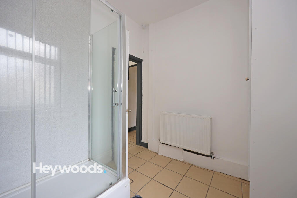
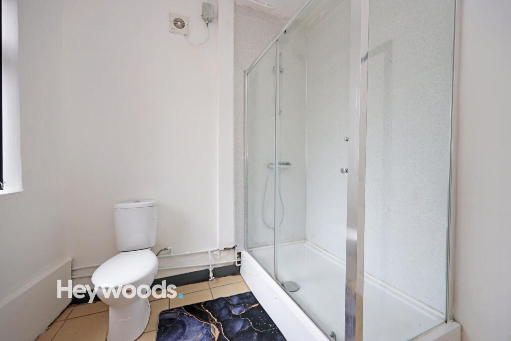
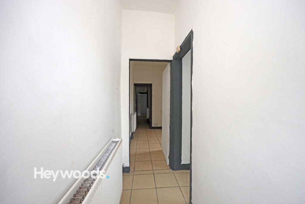
The flat features a spacious bedroom, a bathroom, and a cozy living room and the kitchen, which has ample storage space. The property is available to move in immediately, making it a great option for those looking for a quick and easy relocation.
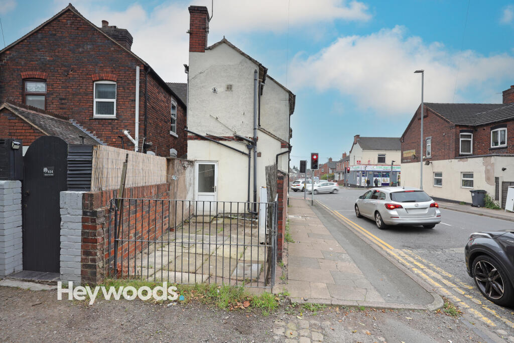
There is space to the rear for one parking space, which is locked via a gated entry.
Listed by
Newcastle-under-Lyme
Heywoods
Reference: 87345363
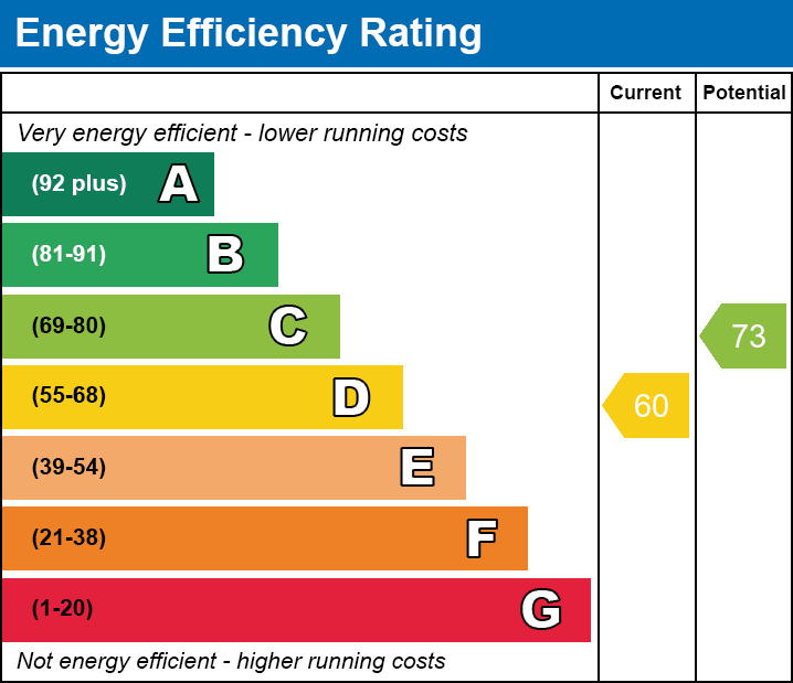
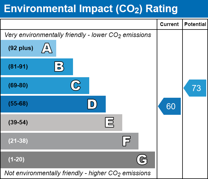
EPC Rating & Upgrade Cost
Fetching EPC data… Refresh this page in a moment.
Flood risk
Zone: 1
Risk: Low
Job (default Low)
EPC Graphs

EPC
EE
EI
Rental Range
Estimated market rent for Stoke-on-Trent. Low = conservative, Realistic = average, Optimistic = best case.
Based on Local Authority from postcode lookup → Stoke-on-Trent.
LHA (30th percentile) floor for Staffordshire North: £424/mo (Apr 2025 – Mar 2026)
Location
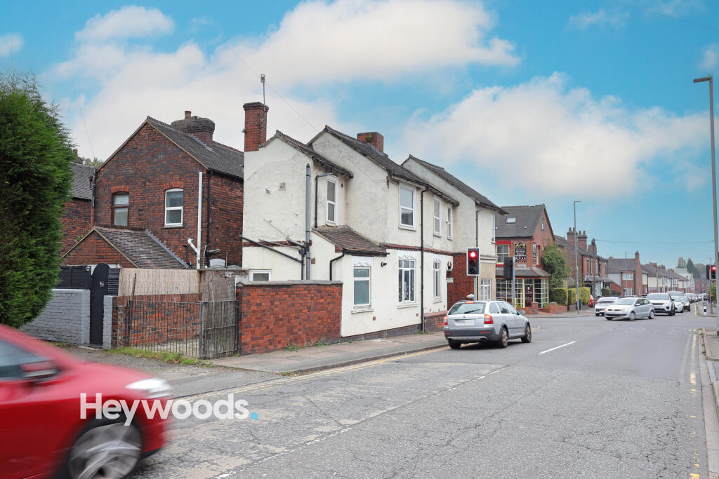
Address
2B Victoria Street
Nearby
Nearest stations, universities and amenities (distance from property).
| Type | Name | Distance |
|---|---|---|
| Shop | Decisions Hair Studio | 0.0 miles |
| Shop | M.E. Cotton | 0.0 miles |
| Bus stop | The Avenue | 0.1 miles |
| Bus stop | Methodist Church | 0.1 miles |
| Hospital | Hartshill Medical Centre | 0.4 miles |
| Hospital | North Staffordshire Hospital | 0.6 miles |
| University | University of Staffordshire Stoke Campus | 1.3 miles |
| Train station | Stoke-on-Trent | 1.3 miles |
| Train station | Longport | 1.8 miles |
Street-level crime
| Category | Count |
|---|---|
| Violence and sexual offences | 147 |
| Anti-social behaviour | 85 |
| Public order | 45 |
| Shoplifting | 29 |
| Criminal damage and arson | 26 |
| Other theft | 26 |
| Vehicle crime | 16 |
| Burglary | 15 |
| Drugs | 12 |
| Other crime | 10 |
| Possession of weapons | 4 |
| Robbery | 3 |
| Bicycle theft | 2 |
| Theft from the person | 2 |
| Total incidents | 422 |
Within 1 mile during Mar 2026. Source: data.police.uk (England & Wales).
Schools nearby
Nearest open schools with Ofsted ratings (England). Closed schools are not shown. Data from Get Information about Schools and Ofsted.
| Name | Type | Distance | Ofsted |
|---|---|---|---|
| Lyme Brook Independent School | Other | 0.3 miles | Good — 22 Oct 2023 |
| Demetae Academy | Other | 0.4 miles | Good — 30 Jun 2022 |
| Harpfield Primary Academy | Primary | 0.4 miles | Good — 10 Feb 2015 |
| Newcastle-under-Lyme School | Other | 0.5 miles | — (No rating) |
| May Bank Infants' School | Primary | 0.6 miles | Good — 21 Jan 2024 |
Rental Comparables
Residential lets from OpenRent and Rightmove for the area (same bedroom count). Use to validate rent estimates. Student lets are excluded.
Average rent: £618/mo (48 listings)