B6
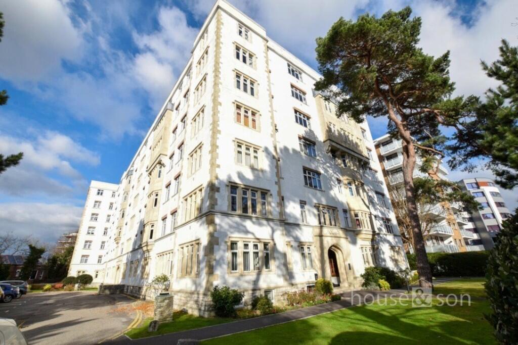
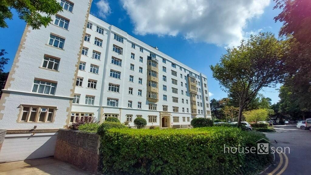
PINE GRANGE, BATH ROAD, BOURNEMOUTH, BOURNEMOUTH, CHRISTCHURCH AND POOLE BH1 2PQ
£950 pcm
Property details
Floor area
54 m²
Council tax band
B
Year built
England and Wales: 1900-1929
Street crime
646 incidents within 1 mile (Apr 2026)
Key features
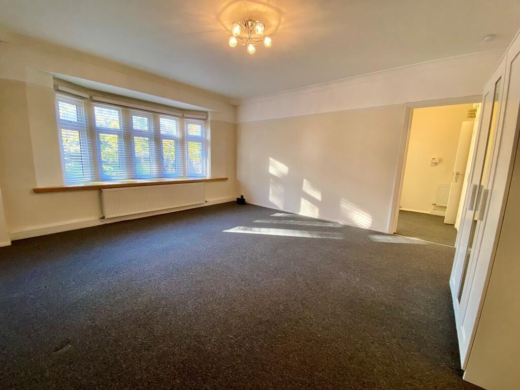
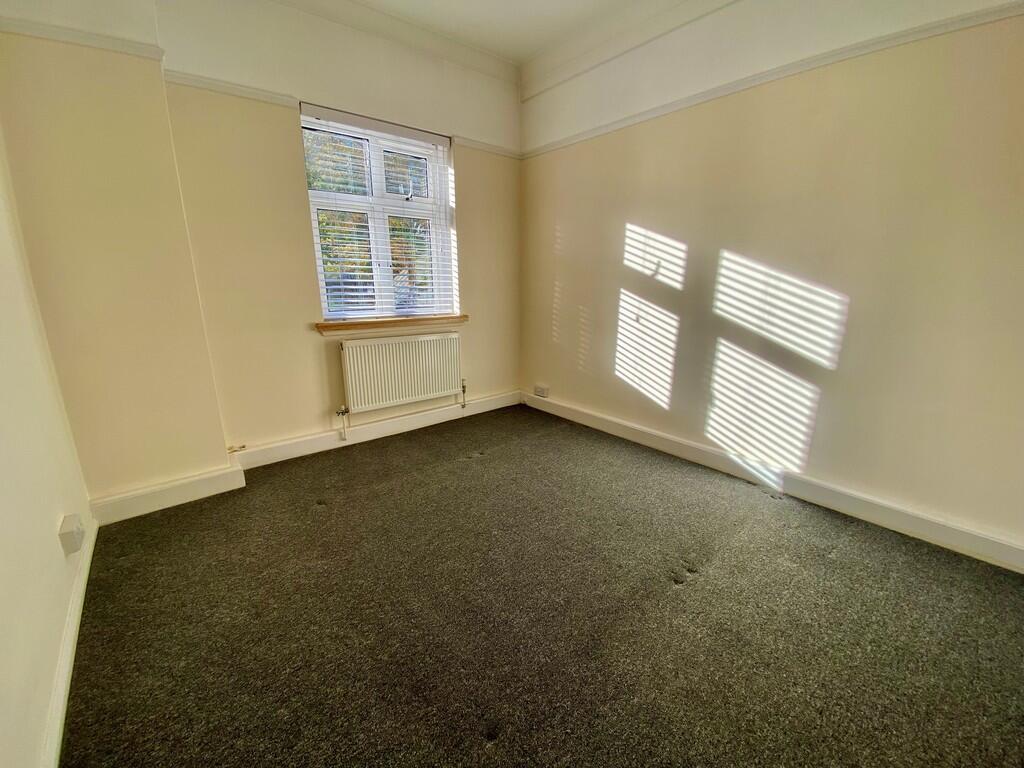
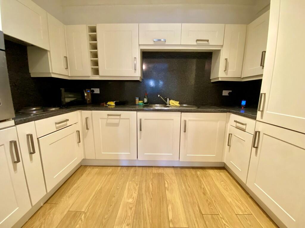
- ONE DOUBLE BEDROOM
- UNFURNISHED
- RENT INCLUDES SEASONAL HEATING & CONSTANT HOT WATER
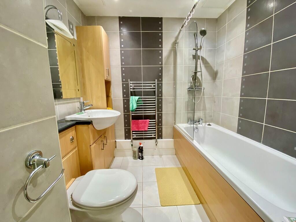
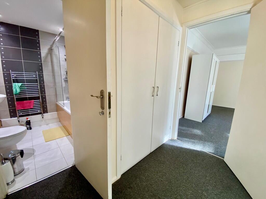
- EN-SUITE BATHROOM
- RESIDENTS' PARKING FACILITY
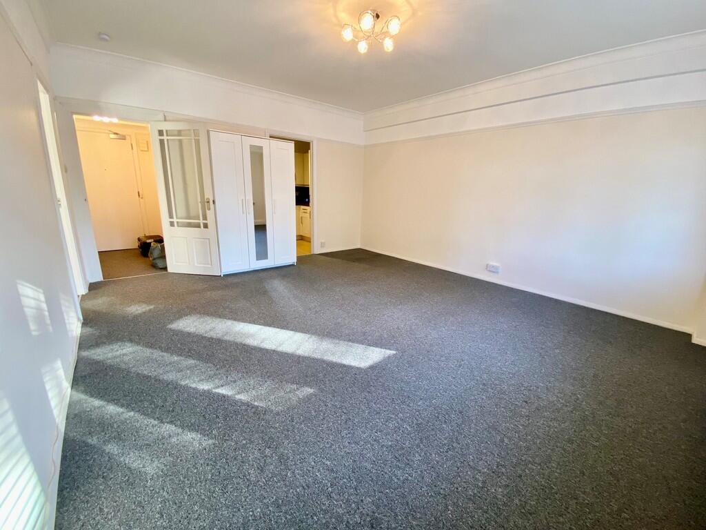
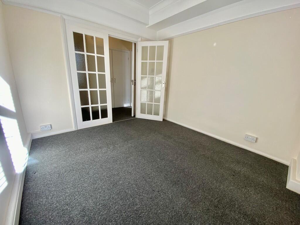
- BRIGHT & SPACIOUS
- GREAT LOCATION
Additional details
- Electricity
- Mains supply
- Water
- Mains supply
- Sewerage
- Mains supply
- Heating
- Gas central
- Accessibility
- Lateral living, Lift access
- Parking
- Off street
Description
Listed by
Bournemouth
House & Son
Reference: 169505717
EPC ratings on this postcode
We don't have a matched EPC for this property yet. Below are efficiency scores and details for other addresses on this postcode.
| Address | Current | Potential | Floor area | Age band | Type |
|---|---|---|---|---|---|
| B6, PINE GRANGE, BATH ROAD, BOURNEMOUTH | 76 | 76 | 54 m² | England and Wales: 1900-1929 | Flat |
Flood risk
Zone: 1
Risk: Low
Job (default Low)
EPC Graphs

EPC Front Page
Rental Range
Estimated market rent for Bournemouth, Christchurch and Poole. Low = conservative, Realistic = average, Optimistic = best case.
Based on Local Authority from postcode lookup → Bournemouth, Christchurch and Poole.
LHA (30th percentile) floor for Salisbury: £648/mo (Apr 2025 – Mar 2026)
Location
Address
Bath Road
Nearby
Nearest stations, universities and amenities (distance from property).
| Type | Name | Distance |
|---|---|---|
| Bus stop | Lansdowne, Bath Road | 0.0 miles |
| Shop | Asda Express | 0.1 miles |
| Shop | Unknown | 0.1 miles |
| Train station | Bournemouth | 0.4 miles |
| Hospital | Nuffield Health Bournemouth Hospital | 0.6 miles |
| Hospital | Dorset HealthCare | 1.6 miles |
| University | Health Services University | 1.8 miles |
| Train station | Pokesdown | 2.0 miles |
Street-level crime
| Category | Count |
|---|---|
| Anti-social behaviour | 216 |
| Violence and sexual offences | 190 |
| Other theft | 42 |
| Criminal damage and arson | 39 |
| Public order | 33 |
| Vehicle crime | 30 |
| Drugs | 27 |
| Shoplifting | 27 |
| Burglary | 13 |
| Robbery | 11 |
| Bicycle theft | 6 |
| Possession of weapons | 6 |
| Other crime | 3 |
| Theft from the person | 3 |
| Total incidents | 646 |
Within 1 mile during Apr 2026. Source: data.police.uk (England & Wales).
Schools nearby
Nearest open schools with Ofsted ratings (England). Closed schools are not shown. Data from Get Information about Schools and Ofsted.
| Name | Type | Distance | Ofsted |
|---|---|---|---|
| Livingstone Academy Bournemouth | Other | 0.1 miles | Good — 20 May 2024 |
| Kings Bournemouth | Other | 0.6 miles | Good — 6 Mar 2023 |
| Malmesbury Park Primary School | Primary | 0.8 miles | Good — 11 May 2022 |
| St Michael's Church of England Primary School | Primary | 0.9 miles | — (Inspected (no overall grade)) |
| Bethany Church of England Junior School | Primary | 0.9 miles | Good — 18 May 2022 |
Rental Comparables
Residential lets from OpenRent and Rightmove for the area (same bedroom count). Use to validate rent estimates. Student lets are excluded.
| Title | Rent | Beds | Distance | As seen on |
|---|---|---|---|---|
| 1 Bed Flat, Bournemouth House, BH1 | £1,250/mo | 1 | 0.31 miles | OpenRent |
| 1 Bed Flat, Turay Court, BH1 | £995/mo | 1 | 0.37 miles | OpenRent |
| Studio Flat, Southcote Road, BH1 | £850/mo | 1 | 0.43 miles | OpenRent |
Average rent: £1,032/mo (3 listings)
Enter House Number
Enter the house number to help us retrieve more accurate pricing history and property data.
Please log in to submit or correct the house number for this listing.
Log in to continue