FLAT 6
PARK HOUSE, 83, CHURCHFIELDS, LONDON, GREATER LONDON E18 2RB
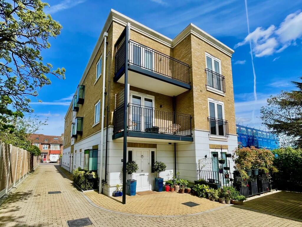
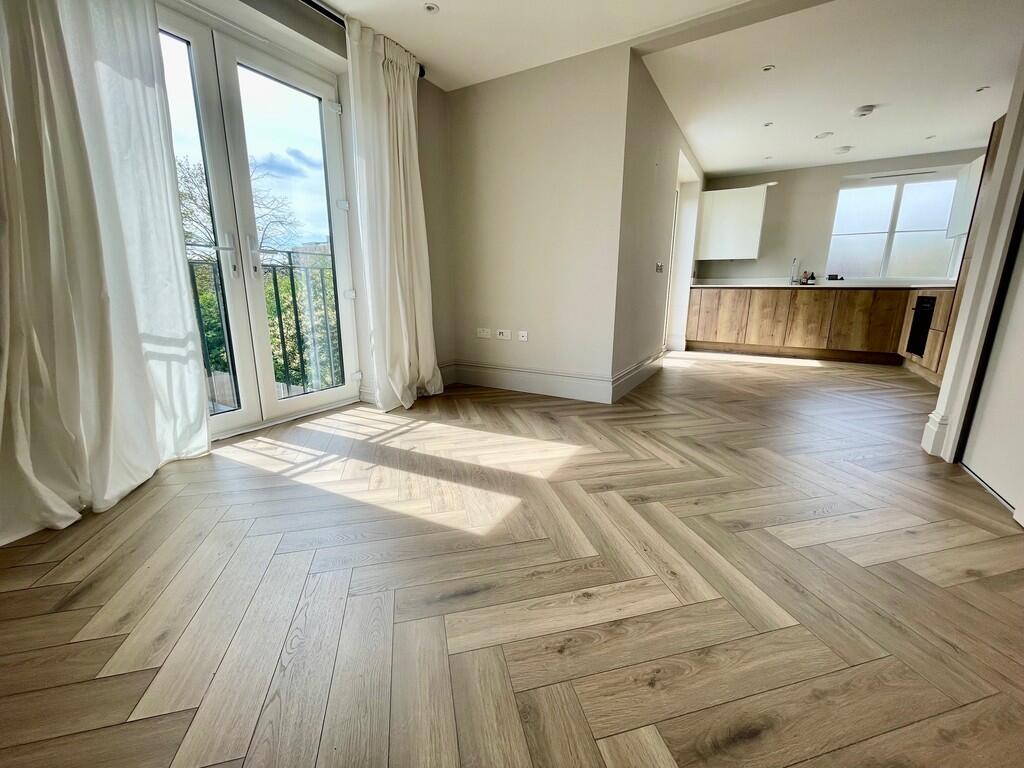
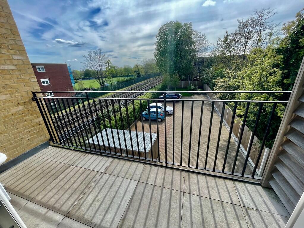
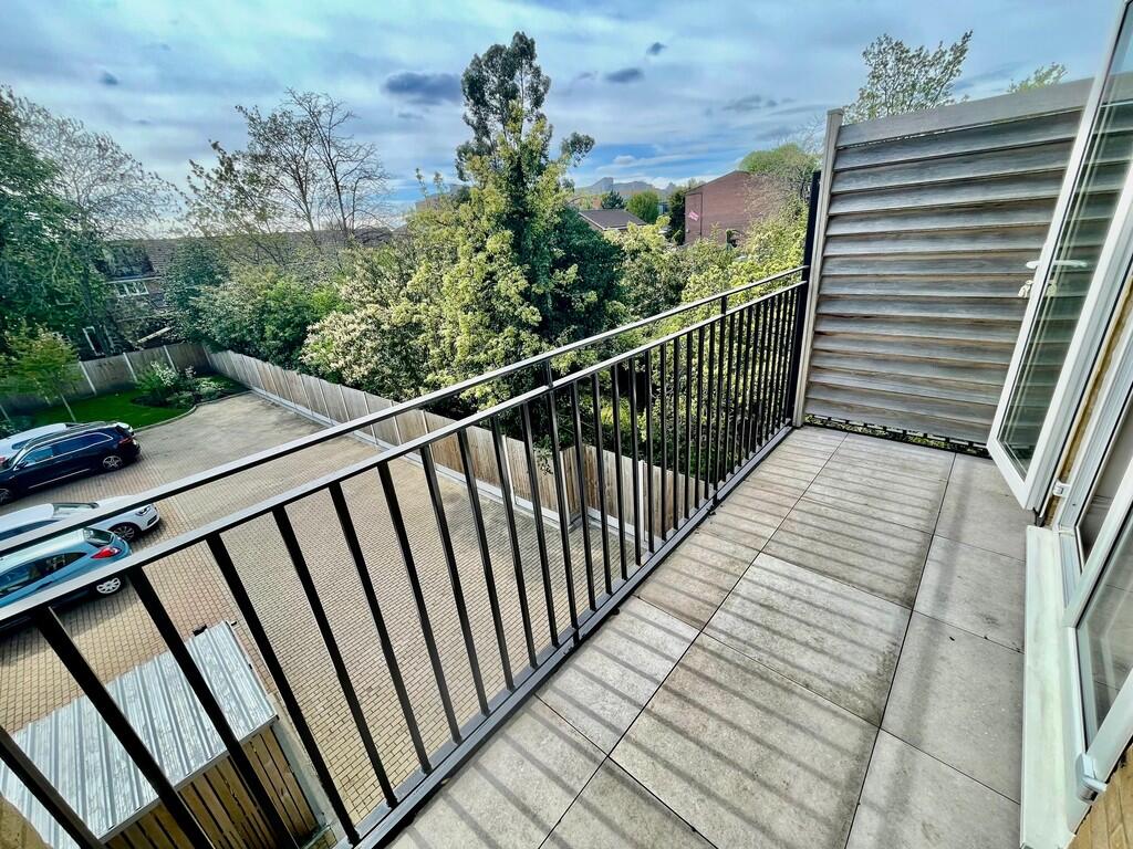
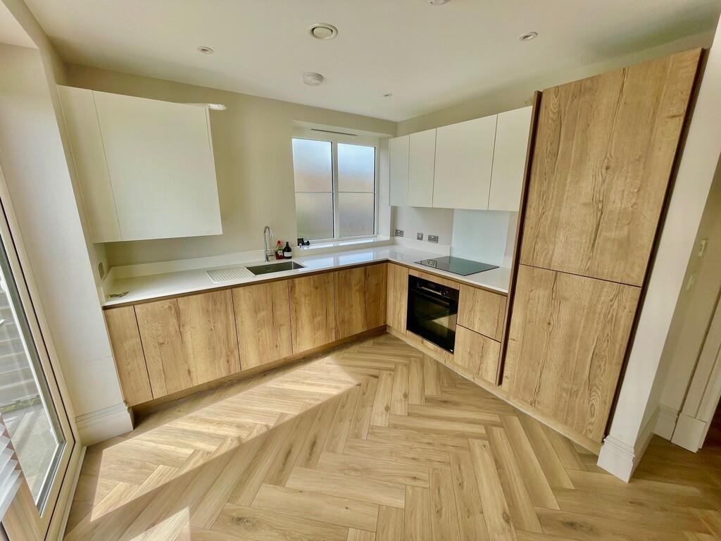
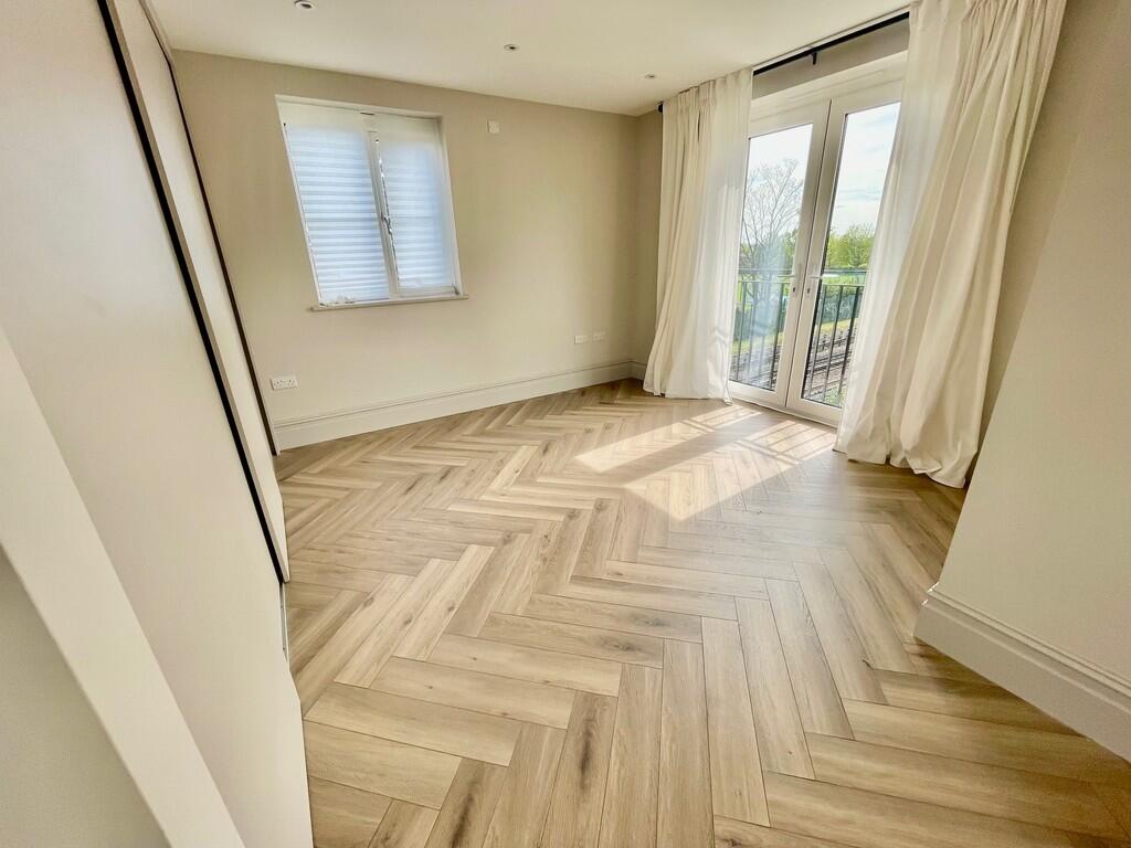
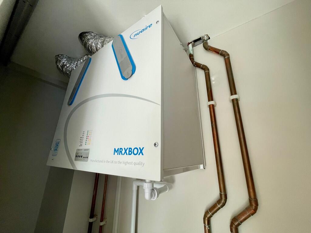
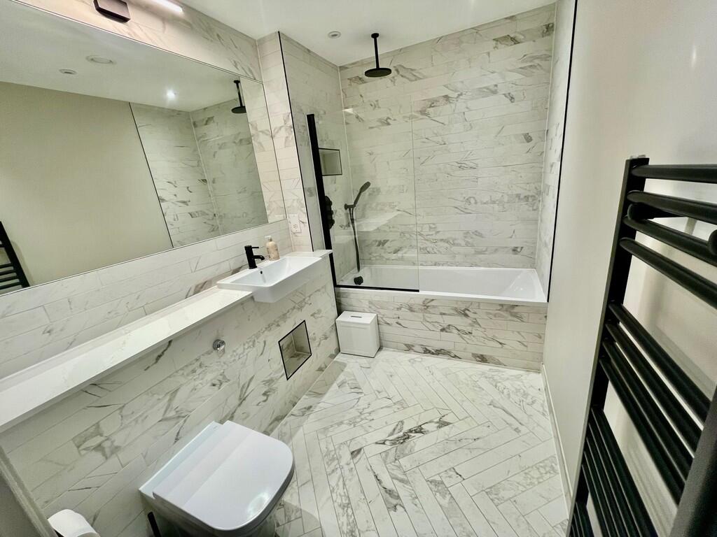
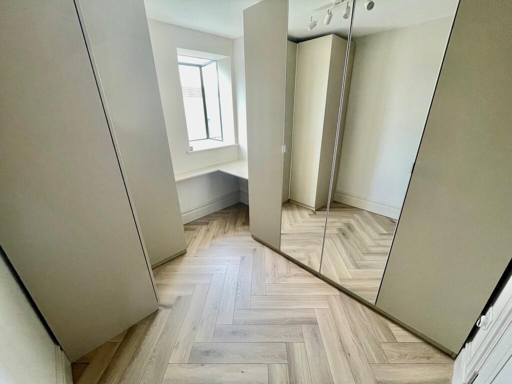
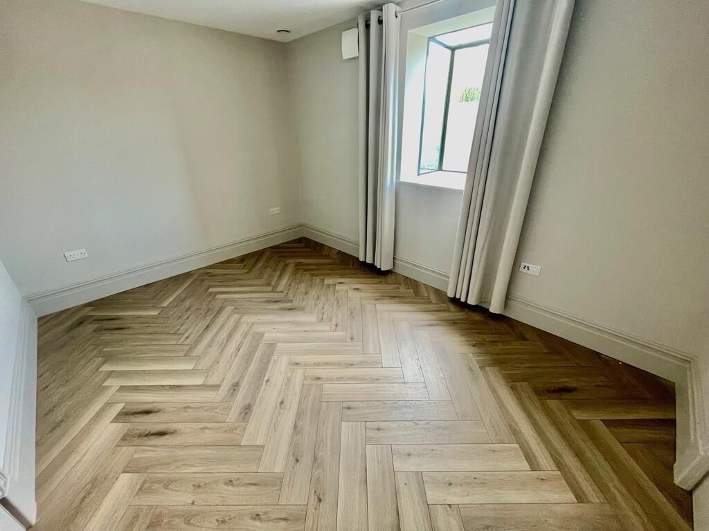
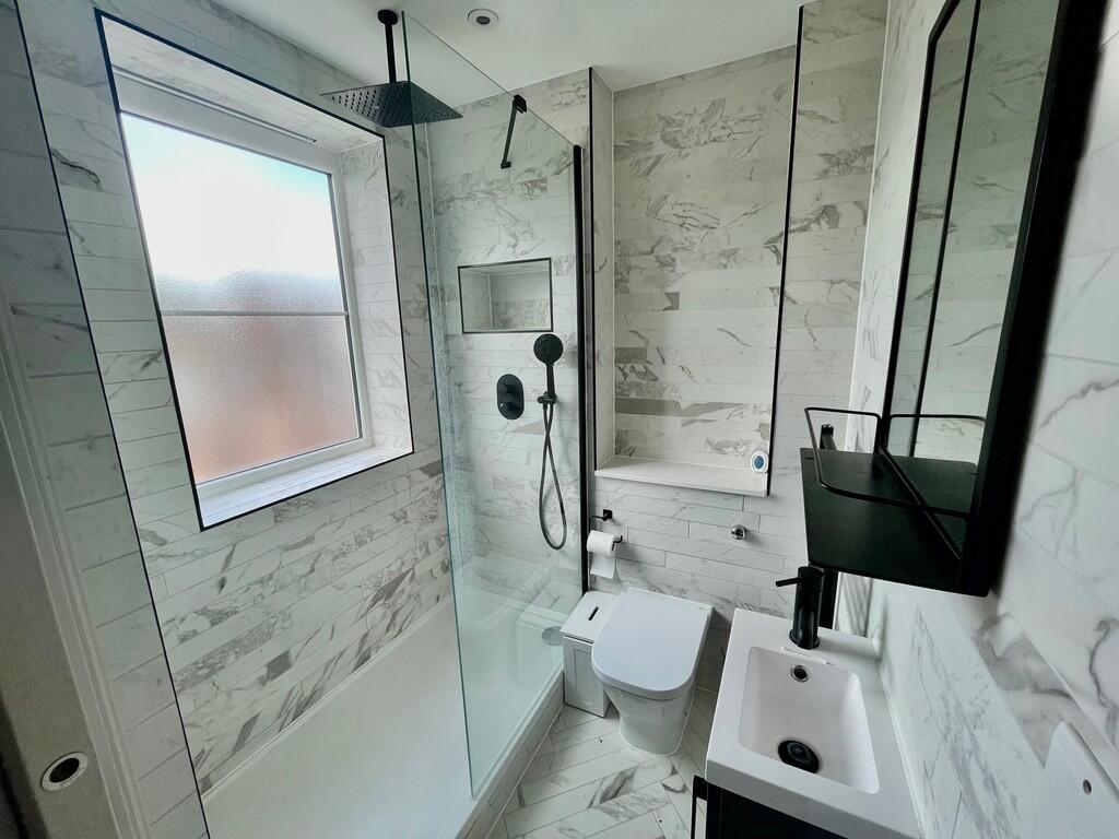
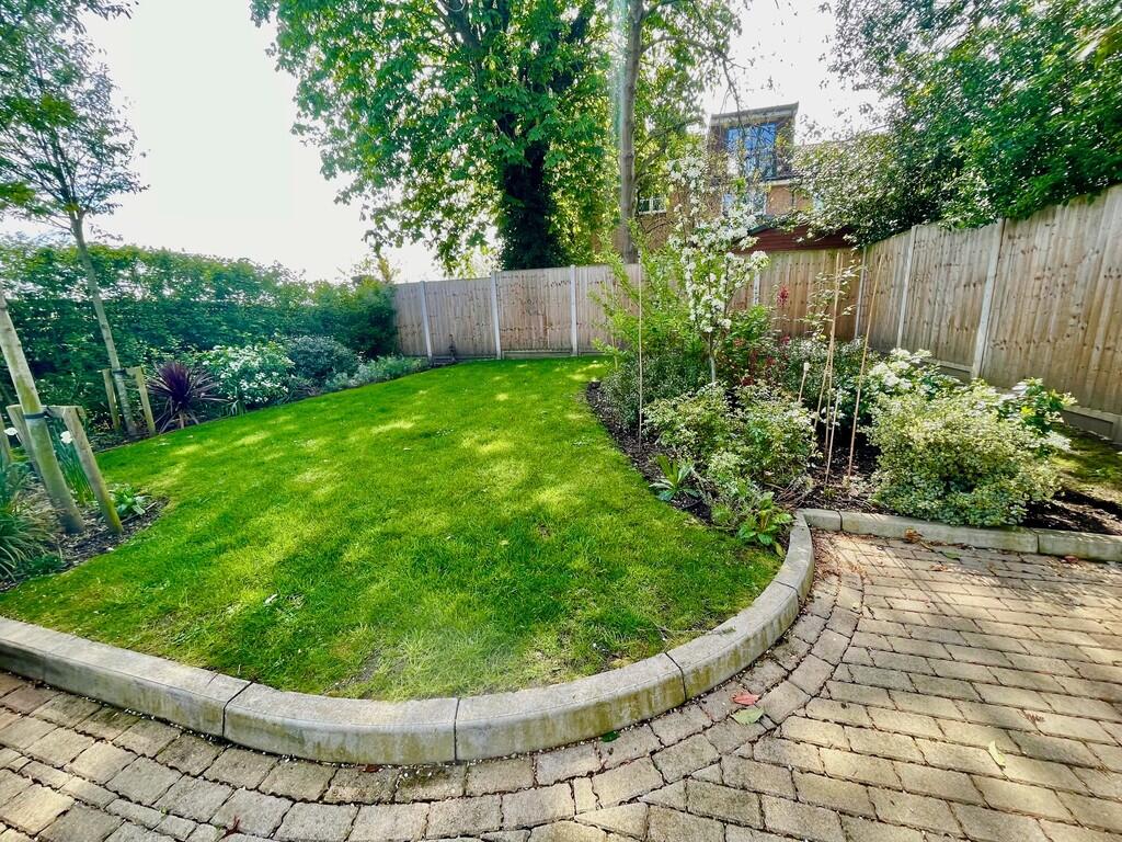
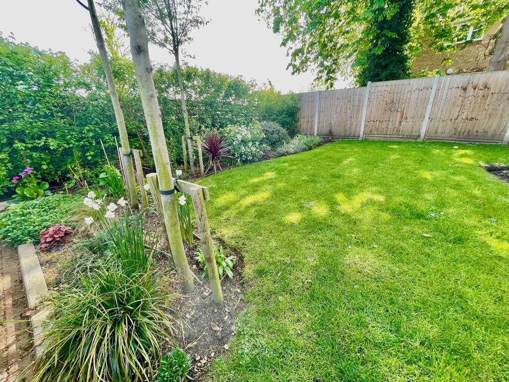
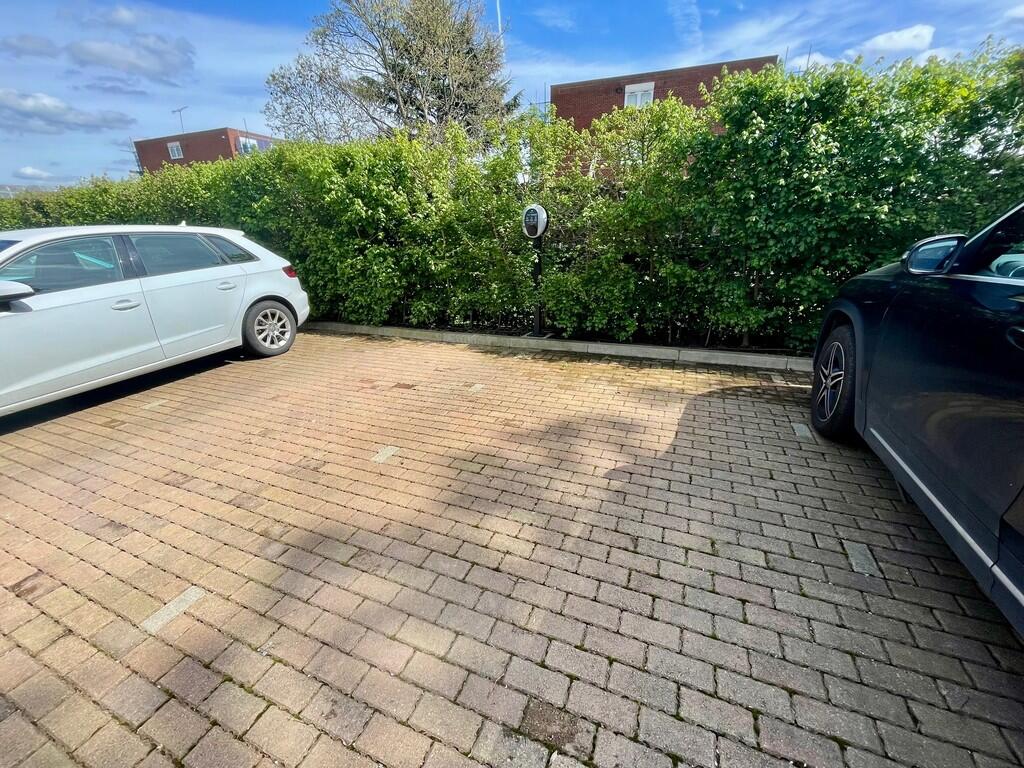
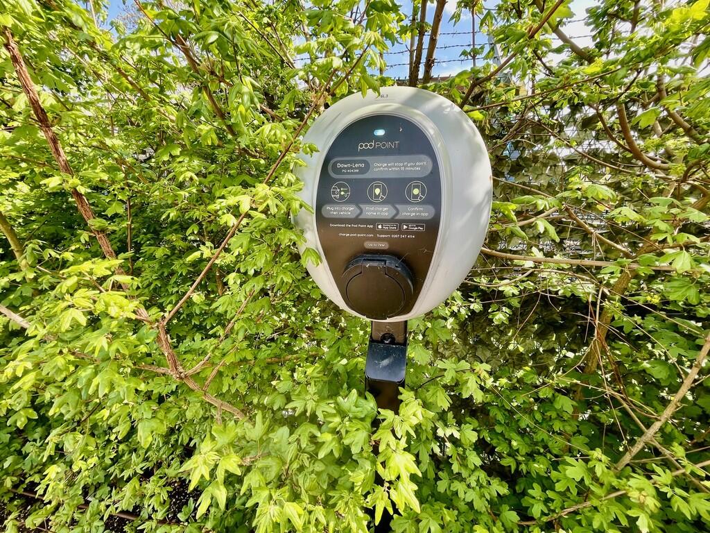
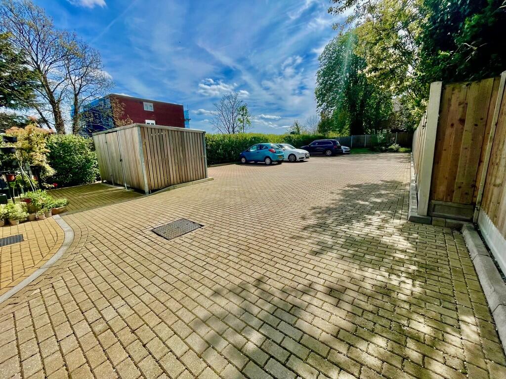
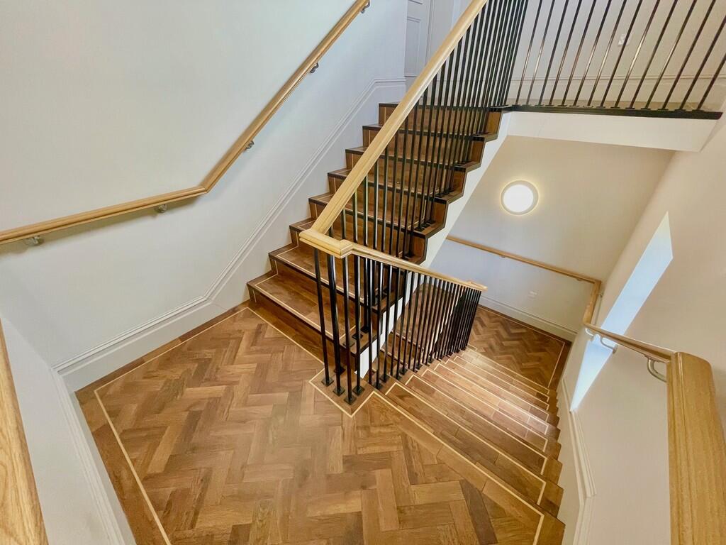
Photo 1 Photo 2 Photo 3 Photo 4 Photo 5 Photo 6 Photo 7 Photo 8 Photo 9 Photo 10 Photo 11 Photo 12 Photo 13 Photo 14 Photo 15 Photo 16 Photo 17 Photo 18 Photo 19 Photo 20 Photo 21
/ 21
Property details
Floor area
64 m²
Council tax band
B
Deprivation
Decile 7 (21,462 of 33,755)
Street crime
234 incidents within 1 mile (Jun 2026)
Key features
- Modern 'New Build'
- Two Bedrooms, Two Bathrooms
- 'L' Shape Living/Dining Room
- Alocated Parking Bay With EV Charger
- Second Bedroom Is Currently Walk-in Wardrobe
- Gas Fired Underfloor Heating Throughout
- Air Purification System
- Balcony
- Top Floor (2nd) No Lift
- Council Tax Band 'B' Currently £1,784.67 P/A.
Additional details
- Parking
- Yes
Description
Listed by
London
Iglu Property Management Limited
Reference: 174453341
EPC Rating & Upgrade Cost
Fetching EPC data… Refresh this page in a moment.
Flood risk
Zone: 1
Risk: Low
Job (default Low)
Floorplans
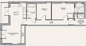
Floorplan 1
EPC Graphs

EPC Front Page
Rental Range
Estimated market rent for Redbridge. Low = conservative, Realistic = average, Optimistic = best case.
Based on Local Authority from postcode lookup → Redbridge.
LHA (30th percentile) floor for Kings Lynn: £648/mo (Apr 2025 – Mar 2026)
Location
Address
34 Churchfields
Nearby
Nearest stations, universities and amenities (distance from property).
| Type | Name | Distance |
|---|---|---|
| Shop | Artisan | 0.3 miles |
| Shop | Oxfam | 0.3 miles |
| Bus stop | Southend Road | 0.3 miles |
| Bus stop | Churchfields | 0.3 miles |
| Train station | South Woodford | 0.5 miles |
| Train station | Woodford | 0.7 miles |
| University | University of Portsmouth Walthamstow Campus | 2.2 miles |
| University | Arden University Stratford Campus | 4.2 miles |
| Hospital | Rainbow Ward | 5.2 miles |
| Hospital | A&E Department | 5.2 miles |
Street-level crime
| Category | Count |
|---|---|
| Violence and sexual offences | 58 |
| Anti-social behaviour | 47 |
| Vehicle crime | 35 |
| Other theft | 24 |
| Shoplifting | 19 |
| Burglary | 13 |
| Drugs | 11 |
| Theft from the person | 9 |
| Public order | 8 |
| Robbery | 8 |
| Bicycle theft | 1 |
| Possession of weapons | 1 |
| Total incidents | 234 |
Within 1 mile during Jun 2026. Source: data.police.uk (England & Wales).
Schools nearby
Nearest open schools with Ofsted ratings (England). Closed schools are not shown. Data from Get Information about Schools and Ofsted.
| Name | Type | Distance | Ofsted |
|---|---|---|---|
| Churchfields Infants' School | Primary | 0.1 miles | Outstanding — 15 Sep 2024 |
| Churchfields Junior School | Primary | 0.2 miles | — (Inspected (no overall grade)) |
| Woodbridge High School | Secondary | 0.3 miles | Outstanding — 26 Apr 2023 |
| Oakdale Infants' School | Primary | 0.4 miles | Good — 31 Jan 2014 |
| Snaresbrook Prep School | Other | 0.5 miles | — (No rating) |
Rental Comparables
Residential lets from OpenRent and Rightmove for the area (same bedroom count). Use to validate rent estimates. Student lets are excluded.
| Title | Rent | Beds | Distance | As seen on |
|---|---|---|---|---|
| 2 Bed Flat, Rectory Court, E18 | £1,950/mo | 2 | 0.31 miles | OpenRent |
| 2 Bed Flat, Regency Court, E18 | £1,850/mo | 2 | 0.32 miles | OpenRent |
| 2 Bed Flat, Maybank Road, E18 | £1,875/mo | 2 | 0.32 miles | OpenRent |
| 2 Bed Flat, Maybank Road, E18 | £1,900/mo | 2 | 0.32 miles | OpenRent |
| 2 Bed Flat, Gordon Road, E18 | £2,000/mo | 2 | 0.41 miles | OpenRent |
| 2 Bed Flat, Stanley Road, E18 | £1,750/mo | 2 | 0.46 miles | OpenRent |
| 2 Bed End Terrace, Underwood Road, IG8 | £1,900/mo | 2 | 0.66 miles | OpenRent |
| 2 Bed Flat, Glengall Road, IG8 | £1,700/mo | 2 | 0.66 miles | OpenRent |
| 2 Bed Flat, Chalford Walk, IG8 | £2,000/mo | 2 | 0.73 miles | OpenRent |
Average rent: £1,881/mo (9 listings)