1 BURGESS PLACE
CONGLETON, CHESHIRE EAST CW12 4PJ
£1,400 pcm
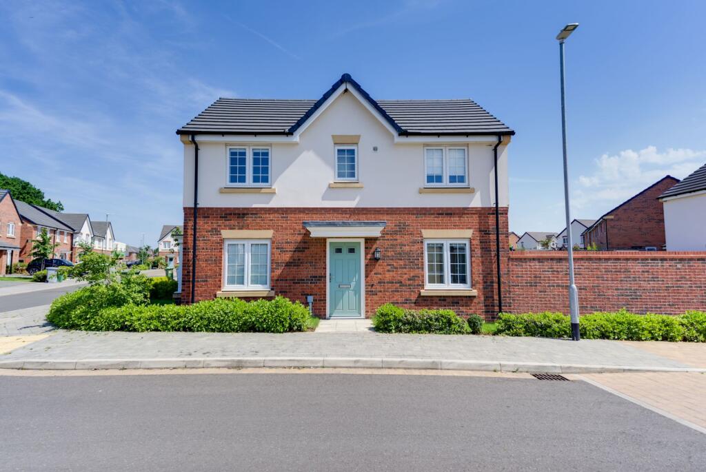
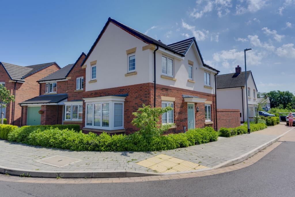

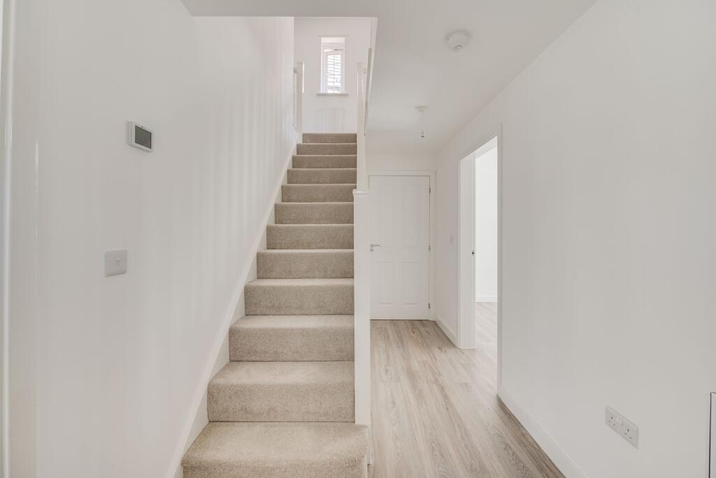
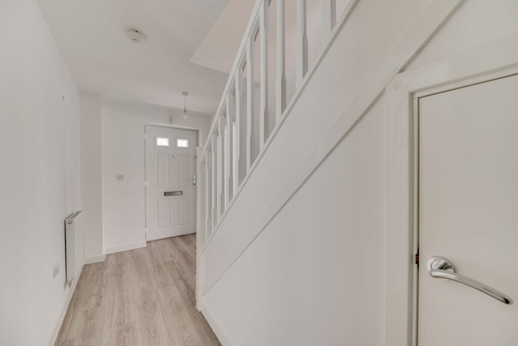
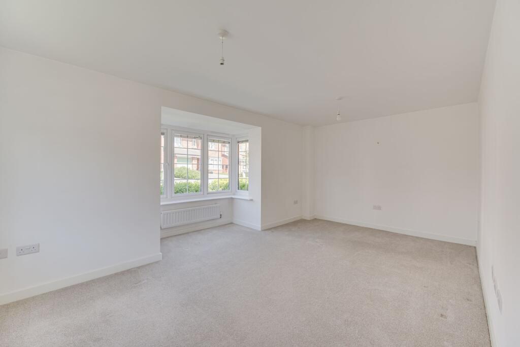
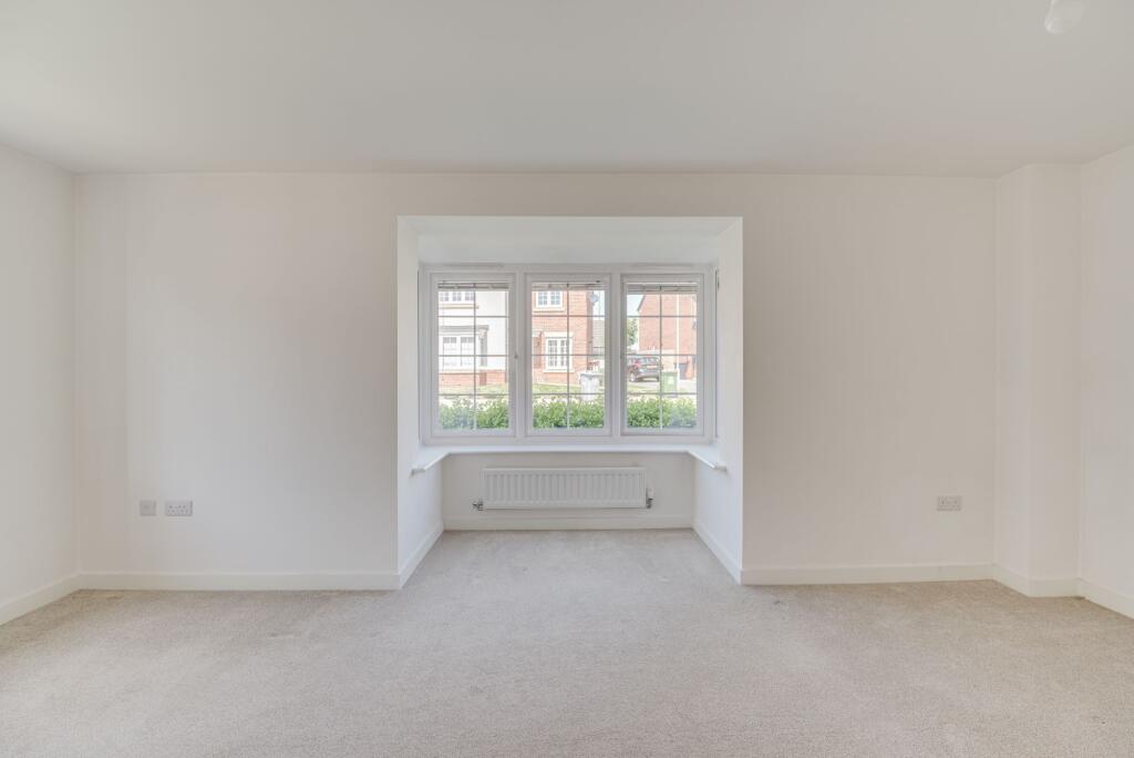
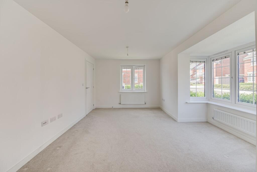
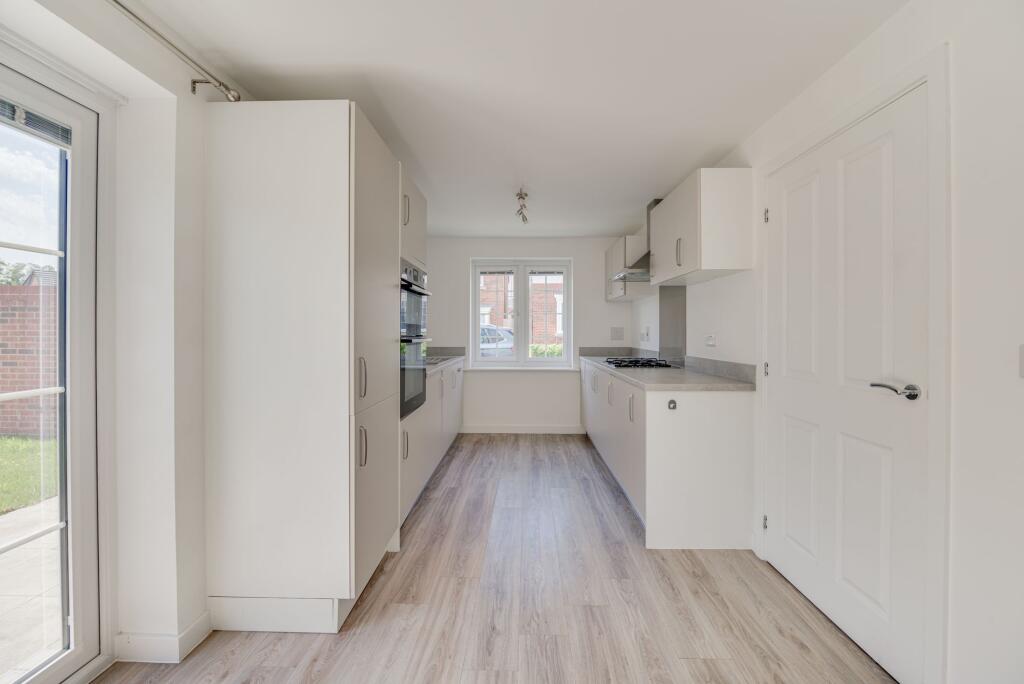

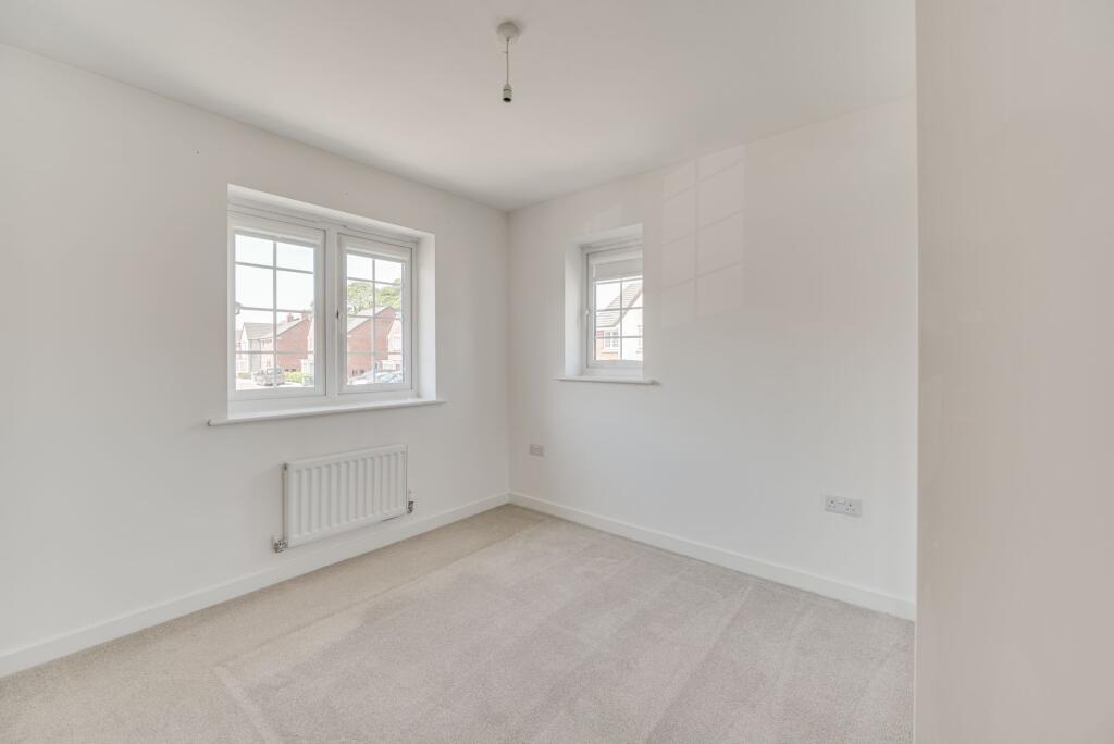
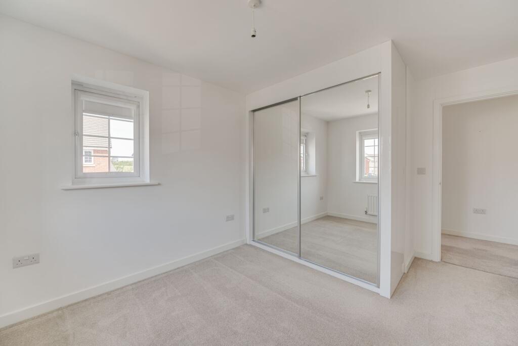
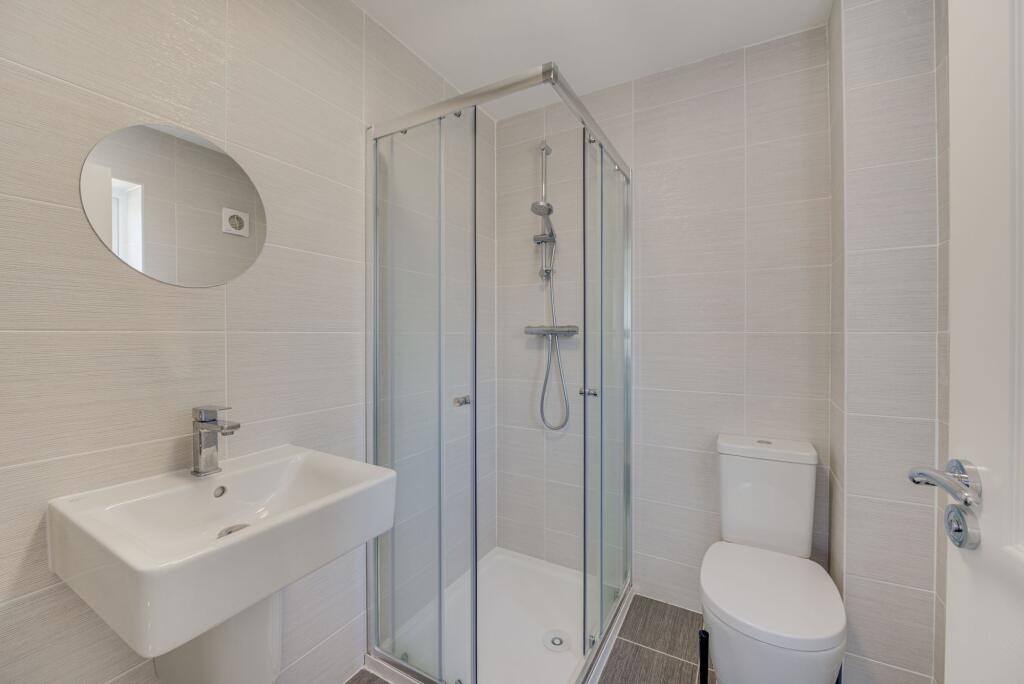
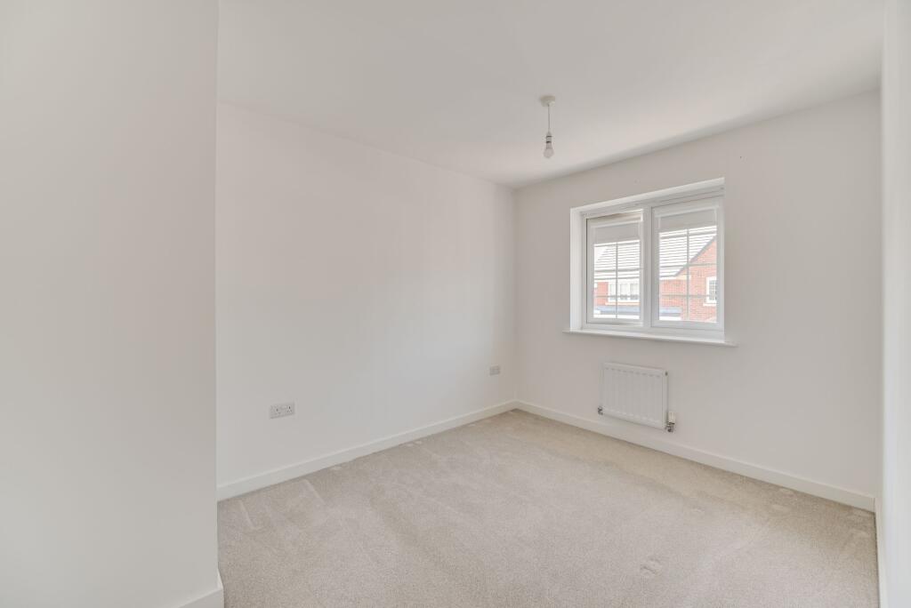
Photo 1 Photo 2 Photo 3 Photo 4 Photo 5 Photo 6 Photo 7 Photo 8 Photo 9 Photo 10 Photo 11 Photo 12 Photo 13 Photo 14 Photo 15 Photo 16 Photo 17 Photo 18 Photo 19 Photo 20 Photo 21 Photo 22
/ 22
Property details
Floor area
87 m²
Council tax band
D
Deprivation
Decile 10 (31,784 of 33,755)
Street crime
26 incidents within 1 mile (Apr 2026)
Additional details
- Listed property
- No
- Restrictions
- No
- Required access
- No
- Rights of way
- No
- Flooded in last 5 years
- No
- Flood defences
- No
Description
All photographs, measurements, floor plans and distances referred to are given as a guide only. Lease details, service charges and ground rent (where applicable) and council tax are given as a guide only and any prospective tenant should ensure they are satisfied prior to applying to a property. The copyright of all details, photographs and floorplans remain the possession of Chris Hamriding Lettings & Estates.
Listed by
Congleton
Chris Hamriding Lettings & Estates
Reference: 88990797
EPC Rating & Upgrade Cost
Fetching EPC data… Refresh this page in a moment.
Flood risk
Zone: 1
Risk: Low
Job (default Low)
Rental Range
Estimated market rent for Cheshire East. Low = conservative, Realistic = average, Optimistic = best case.
Based on Local Authority from postcode lookup → Cheshire East.
LHA (30th percentile) floor for Oldham & Rochdale: £693/mo (Apr 2025 – Mar 2026)
Location
Nearby
Nearest stations, universities and amenities (distance from property).
| Type | Name | Distance |
|---|---|---|
| Bus stop | Unknown | 0.1 miles |
| Shop | Constantinos | 0.7 miles |
| Shop | Bargain Booze | 0.7 miles |
| Train station | Congleton | 2.3 miles |
| Train station | Goostrey | 4.9 miles |
| Hospital | Rosemount Resource Centre | 7.1 miles |
| Hospital | John Munroe Hospital | 7.4 miles |
| University | University of Buckingham Crewe Campus | 9.4 miles |
| University | Buxton & Leek College | 10.1 miles |
Street-level crime
| Category | Count |
|---|---|
| Violence and sexual offences | 15 |
| Shoplifting | 5 |
| Bicycle theft | 1 |
| Criminal damage and arson | 1 |
| Drugs | 1 |
| Other crime | 1 |
| Public order | 1 |
| Vehicle crime | 1 |
| Total incidents | 26 |
Within 1 mile during Apr 2026. Source: data.police.uk (England & Wales).
Schools nearby
Nearest open schools with Ofsted ratings (England). Closed schools are not shown. Data from Get Information about Schools and Ofsted.
| Name | Type | Distance | Ofsted |
|---|---|---|---|
| Black Firs Primary School | Primary | 0.4 miles | Good — 27 Nov 2013 |
| Congleton High School | Secondary | 0.7 miles | Good — 15 Jan 2015 |
| The Quinta Primary School | Primary | 0.8 miles | Good — 12 Sep 2023 |
| Saint Mary's Catholic Primary School | Primary | 1.1 miles | Requires improvement — 1 Jul 2024 |
| Aidenswood School | Other | 1.1 miles | Good — 24 Apr 2024 |
Rental Comparables
Residential lets from OpenRent and Rightmove for the area (same bedroom count). Use to validate rent estimates. Student lets are excluded.
| Title | Rent | Beds | Distance | As seen on |
|---|---|---|---|---|
| Burgess Place, Congleton, CW12 | £1,400/mo | 3 | 0 miles | Rightmove |
| Pine Way, Somerford, Congleton | £1,200/mo | 3 | 0.61 miles | Rightmove |
| Giantswood Lane, Somerford Booths | £1,900/mo | 3 | 0.85 miles | Rightmove |
| Loachbrook Farm Way, Congleton, CW12 | £1,300/mo | 3 | 0.91 miles | Rightmove |
| Dobson Way, Congleton, CW12 | £2,200/mo | 3 | 1.42 miles | Rightmove |
| Canal Road, Congleton, CW12 | £1,300/mo | 3 | 2.02 miles | Rightmove |
| Wallhill Lane, Brownlow, CW12 | £1,500/mo | 3 | 2.08 miles | Rightmove |
| Annan Close, Congleton | £1,300/mo | 3 | 2.23 miles | Rightmove |
| Moss Road, Astbury, CW12 | £1,500/mo | 3 | 2.39 miles | Rightmove |
| Brindley Way, Congleton, CW12 | £1,795/mo | 3 | 2.48 miles | Rightmove |
| Boundary Lane, Congleton | £1,350/mo | 3 | 2.7 miles | Rightmove |
| Overton Road, Congleton, CW12 | £1,350/mo | 3 | 3.89 miles | Rightmove |
| Congleton, Staffordshire | £2,000/mo | 3 | 4.18 miles | Rightmove |
Average rent: £1,546/mo (13 listings)