3 CHARLOTTE ROAD
WALLASEY, MERSEYSIDE CH44 0DN
£475 pcm
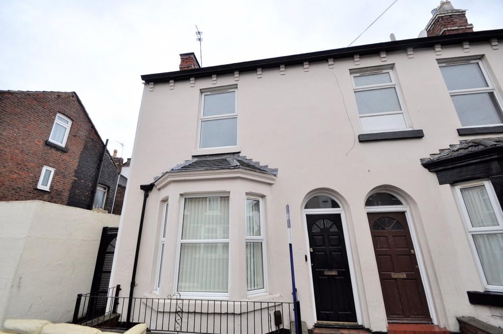
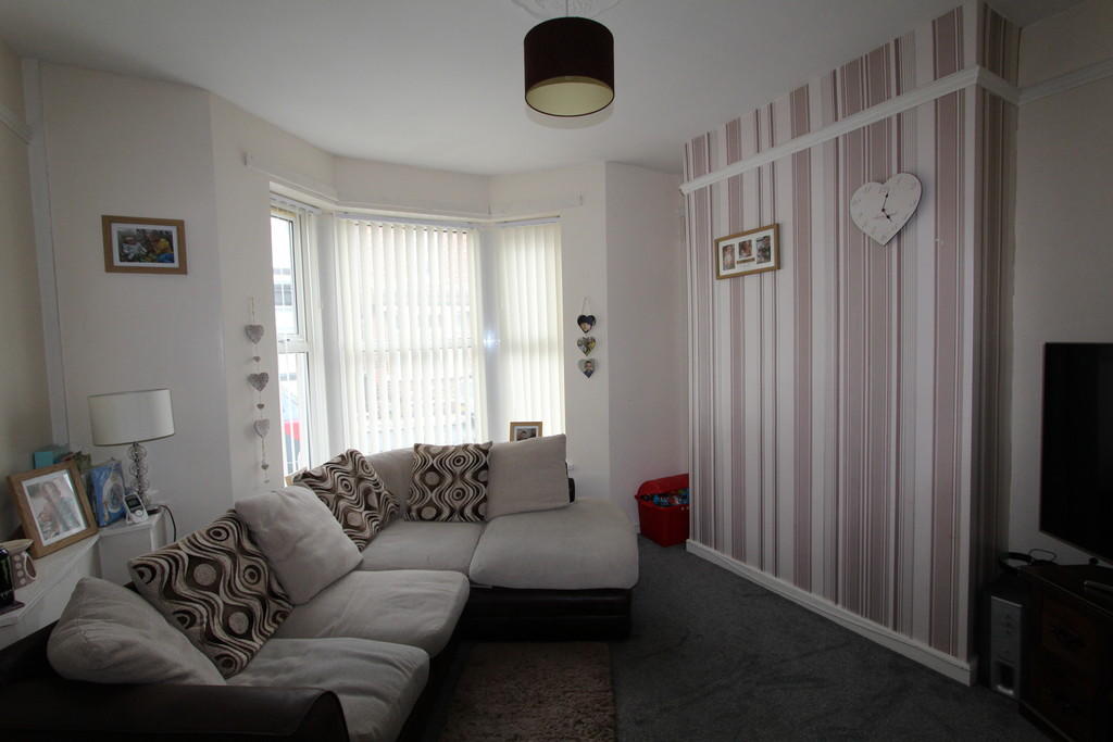
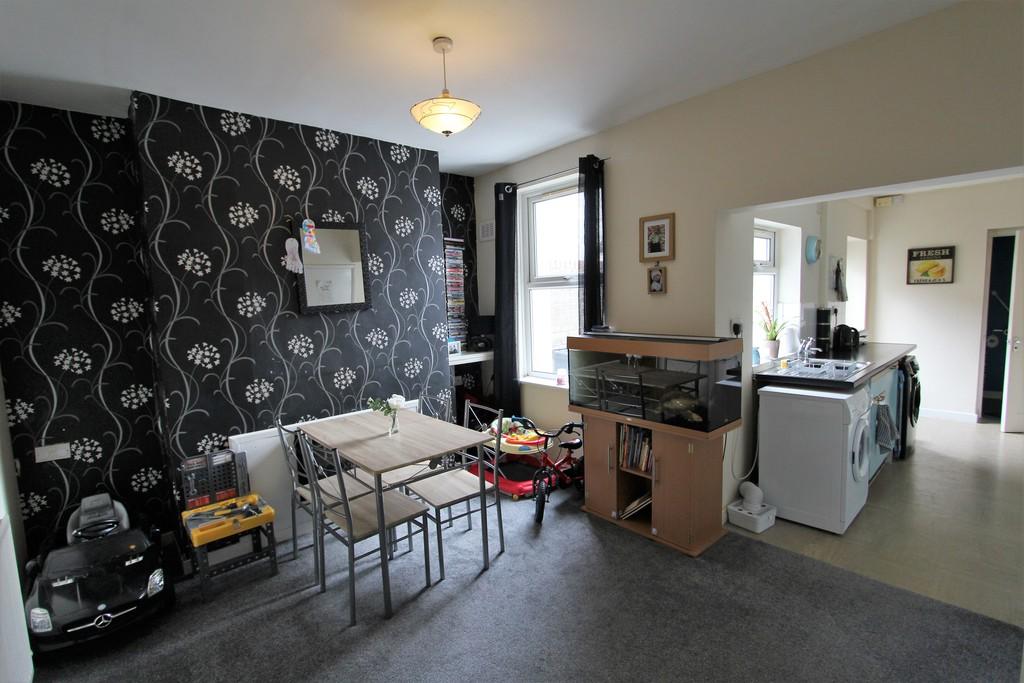
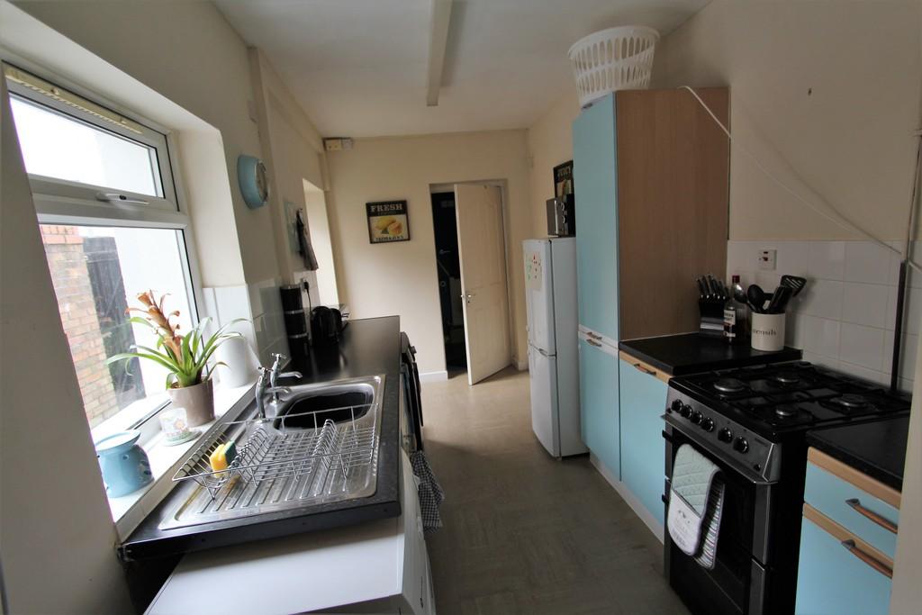
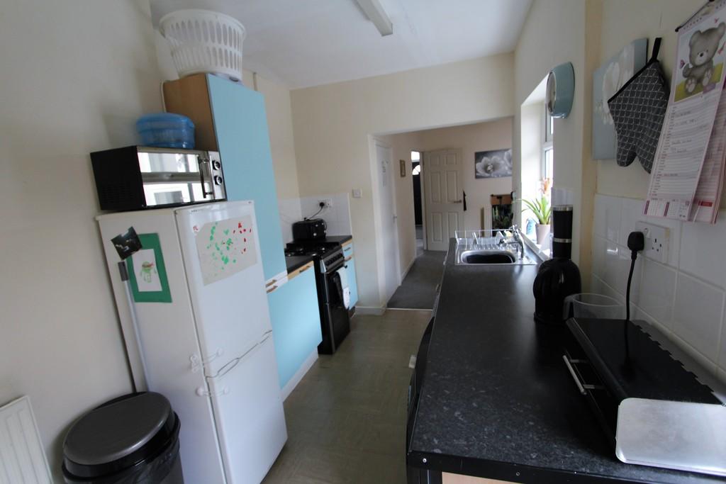
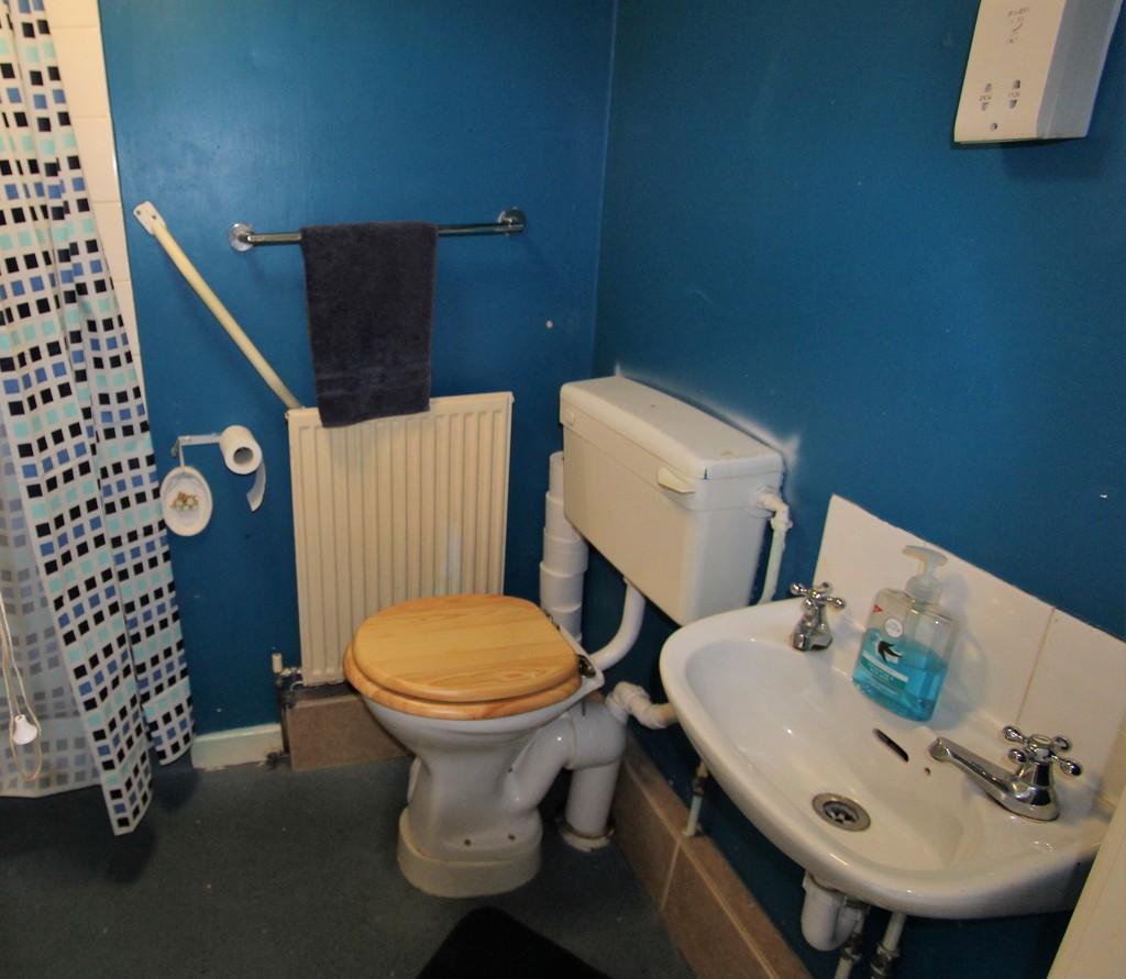
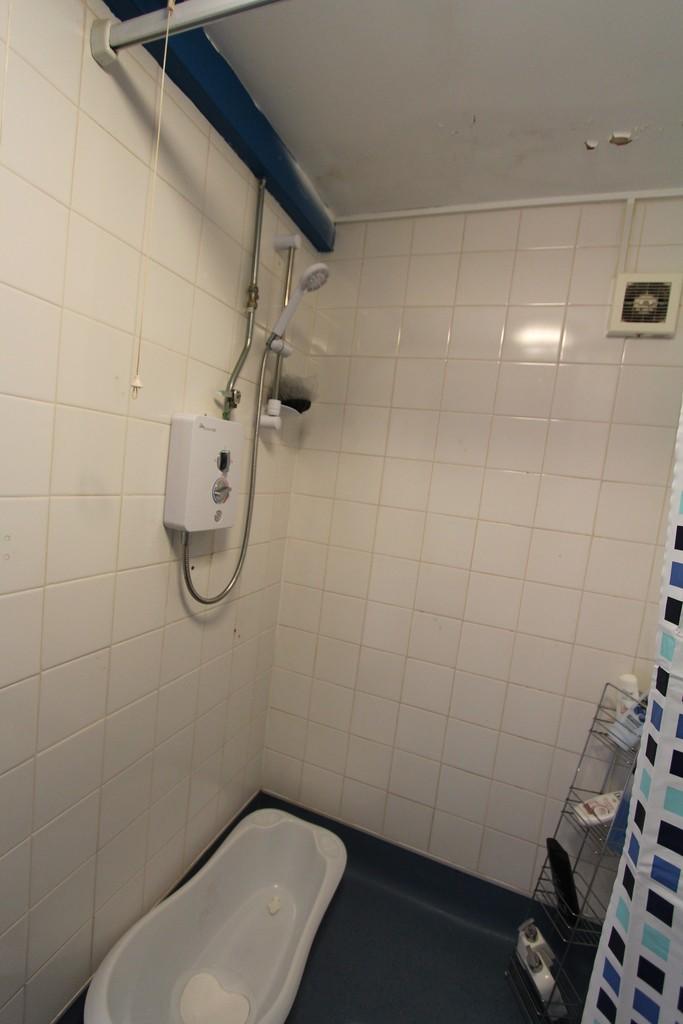
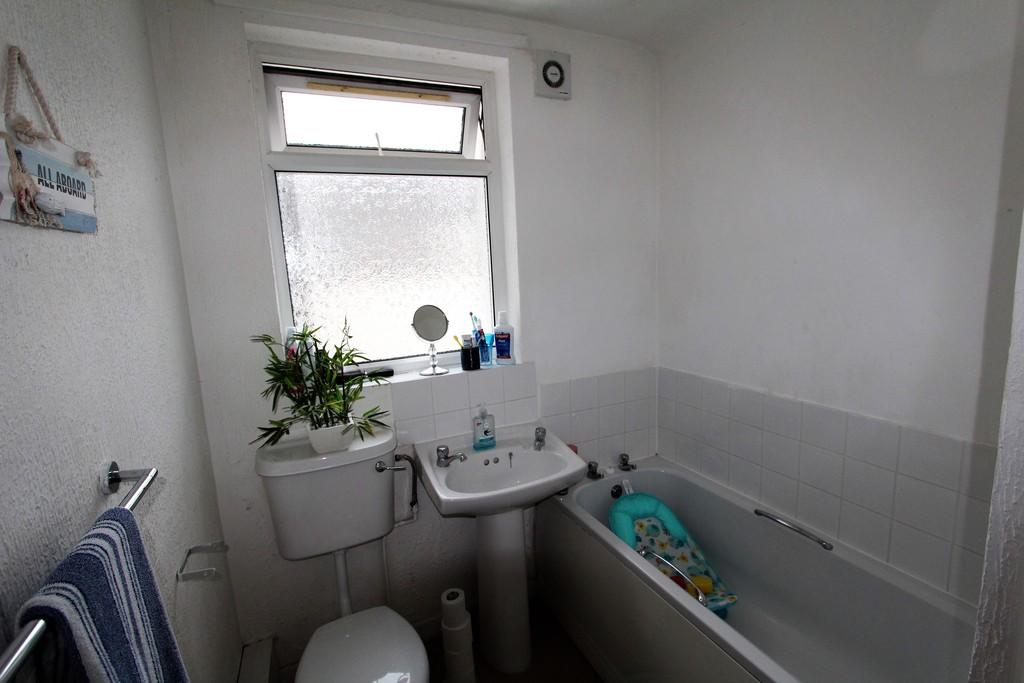
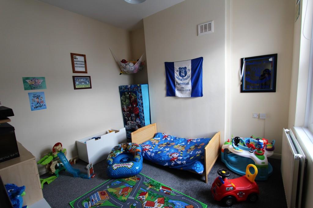
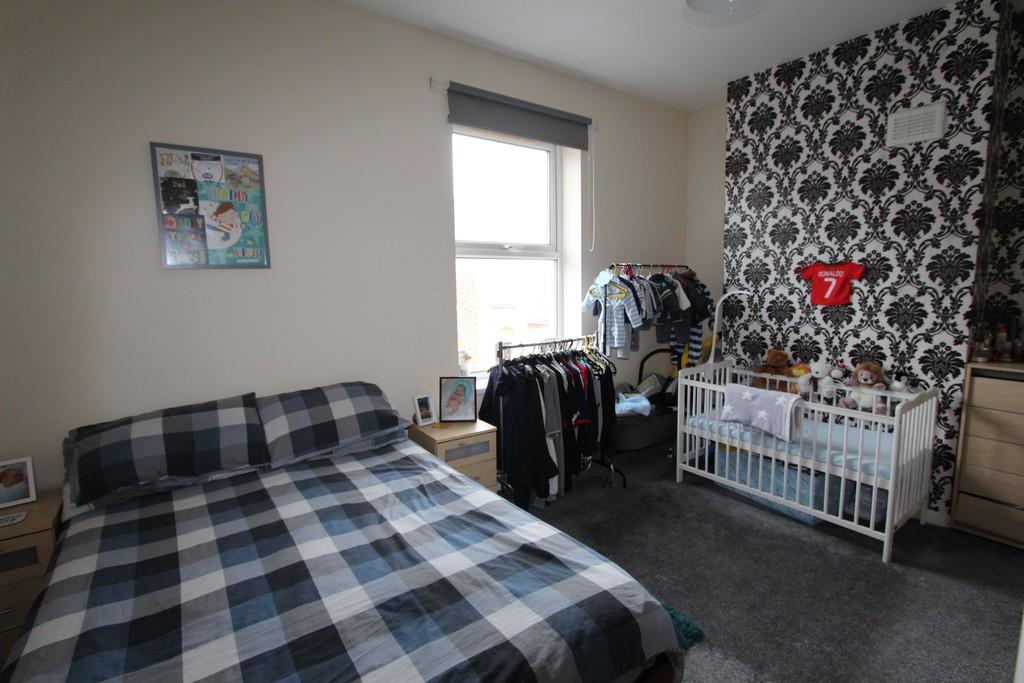
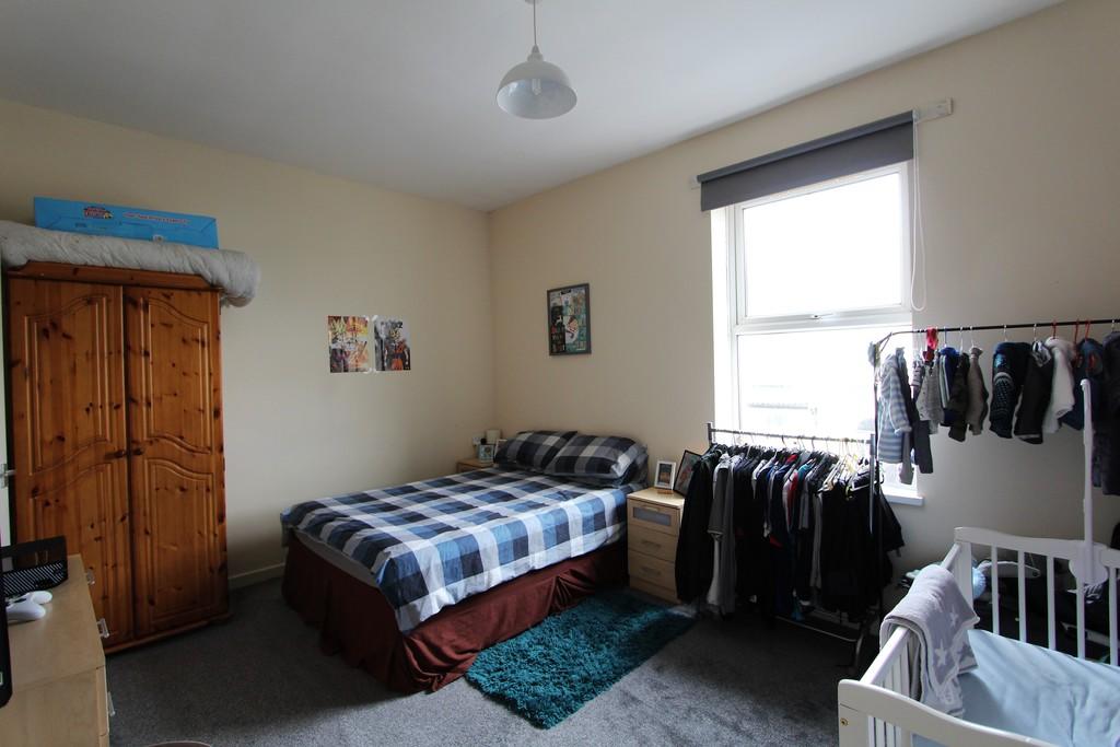
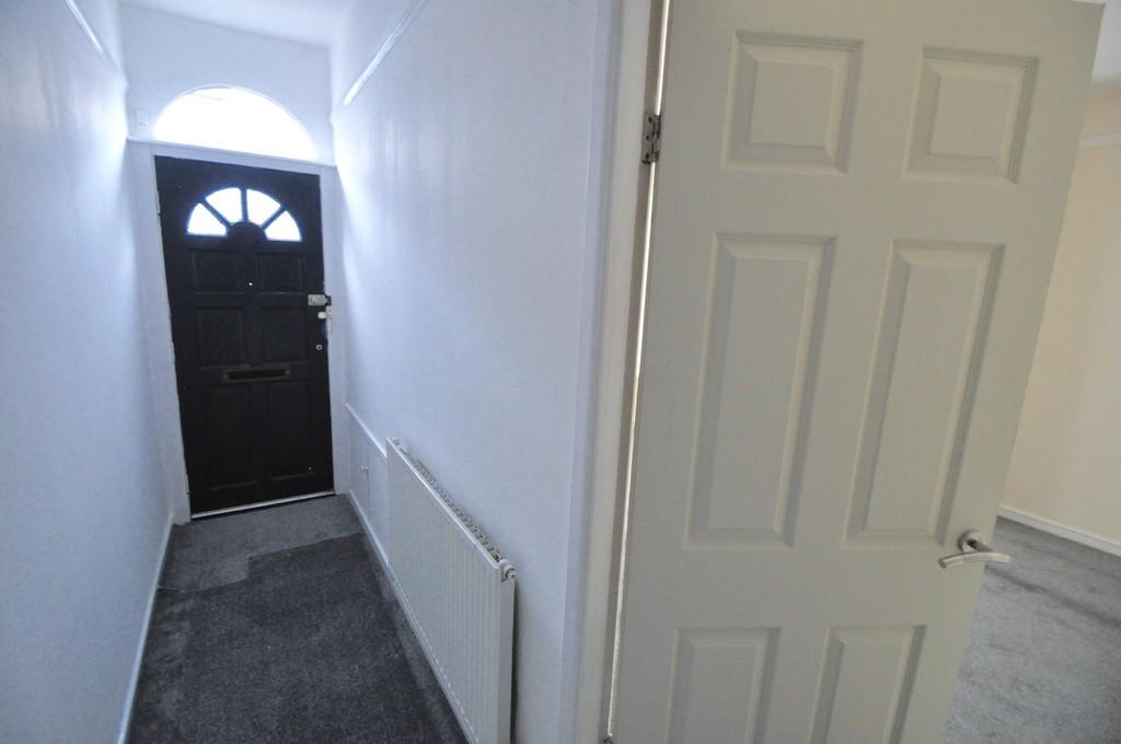
Photo 1 Photo 2 Photo 3 Photo 4 Photo 5 Photo 6 Photo 7 Photo 8 Photo 9 Photo 10 Photo 11 Photo 12
/ 12
Property details
Floor area
73 m²
Year built
England and Wales: 1900-1929
Deprivation
Decile 1 (602 of 33,755)
Street crime
322 incidents within 1 mile (Apr 2026)
Key features
- Two Bed End Terrace
- Well Presented
- Double Glazing & GCH
- No Chain
- EPC Rating TBC
Description
Listed by
Wallasey
Harper & Woods Ltd
Reference: 72285959
EPC Rating & Upgrade Cost
Fetching EPC data… Refresh this page in a moment.
Flood risk
Zone: 1
Risk: Low
Job (default Low)
Rental Range
Estimated market rent for Wirral. Low = conservative, Realistic = average, Optimistic = best case.
Based on Local Authority from postcode lookup → Wirral.
LHA (30th percentile) floor for Wirral: £524/mo (Apr 2025 – Mar 2026)
Location
Nearby
Nearest stations, universities and amenities (distance from property).
| Type | Name | Distance |
|---|---|---|
| Shop | Launderette Revolution | 0.1 miles |
| Shop | Go Local | 0.1 miles |
| Bus stop | TRAFALGAR ROAD/LEA ROAD | 0.1 miles |
| Bus stop | King Street/ St Brides Road | 0.1 miles |
| Train station | New Brighton | 1.4 miles |
| Train station | Birkenhead North | 1.5 miles |
| Hospital | Parkfield Medical Centre | 4.1 miles |
| Hospital | Greenbank Drive Surgery | 4.7 miles |
| University | Liverpool Hope University | 6.1 miles |
| University | Edge Hill University | 11.6 miles |
Street-level crime
| Category | Count |
|---|---|
| Violence and sexual offences | 144 |
| Anti-social behaviour | 51 |
| Criminal damage and arson | 47 |
| Public order | 33 |
| Drugs | 18 |
| Other theft | 6 |
| Burglary | 5 |
| Other crime | 5 |
| Possession of weapons | 4 |
| Shoplifting | 3 |
| Vehicle crime | 3 |
| Bicycle theft | 1 |
| Robbery | 1 |
| Theft from the person | 1 |
| Total incidents | 322 |
Within 1 mile during Apr 2026. Source: data.police.uk (England & Wales).
Schools nearby
Nearest open schools with Ofsted ratings (England). Closed schools are not shown. Data from Get Information about Schools and Ofsted.
| Name | Type | Distance | Ofsted |
|---|---|---|---|
| Egremont Primary School | Primary | 0.2 miles | Good — 17 Jan 2022 |
| Liscard Primary School | Primary | 0.4 miles | Good — 11 Dec 2023 |
| Somerville Primary School | Primary | 0.5 miles | Good — 19 Oct 2023 |
| Riverside Primary School | Primary | 0.6 miles | Good — 19 Jun 2023 |
| St Alban's Catholic Primary School | Primary | 0.6 miles | — (Inspected (no overall grade)) |
Rental Comparables
Residential lets from OpenRent and Rightmove for the area (same bedroom count). Use to validate rent estimates. Student lets are excluded.
| Title | Rent | Beds | Distance | As seen on |
|---|---|---|---|---|
| 2 Bed Flat, Clarendon Road, CH44 | £495/mo | 2 | 0.31 miles | OpenRent |
| 2 Bed Flat, Clarendon Road, CH44 | £595/mo | 2 | 0.32 miles | OpenRent |
| 2 Bed Flat, Wallasey, CH45 | £825/mo | 2 | 0.58 miles | OpenRent |
| 2 Bed Terraced House, Primrose Grove, CH44 | £2,340/mo | 2 | 0.85 miles | OpenRent |
| 2 Bed End Terrace, Acacia Grove, CH44 | £750/mo | 2 | 0.92 miles | OpenRent |
Average rent: £1,001/mo (5 listings)