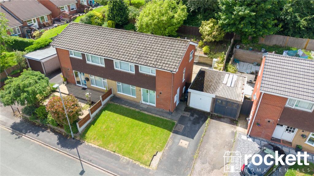
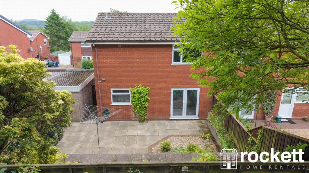
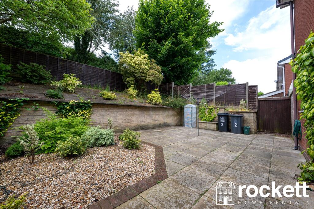
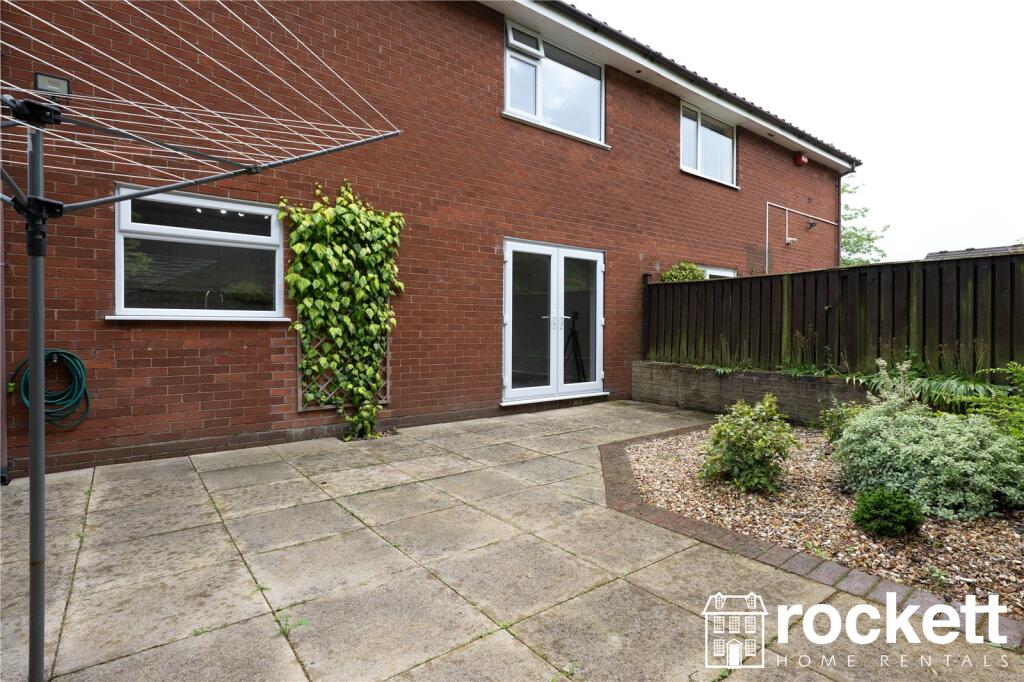
2 DORRIDGE GROVE
NEWCASTLE, STAFFORDSHIRE ST5 0HX
£1,295 pcm

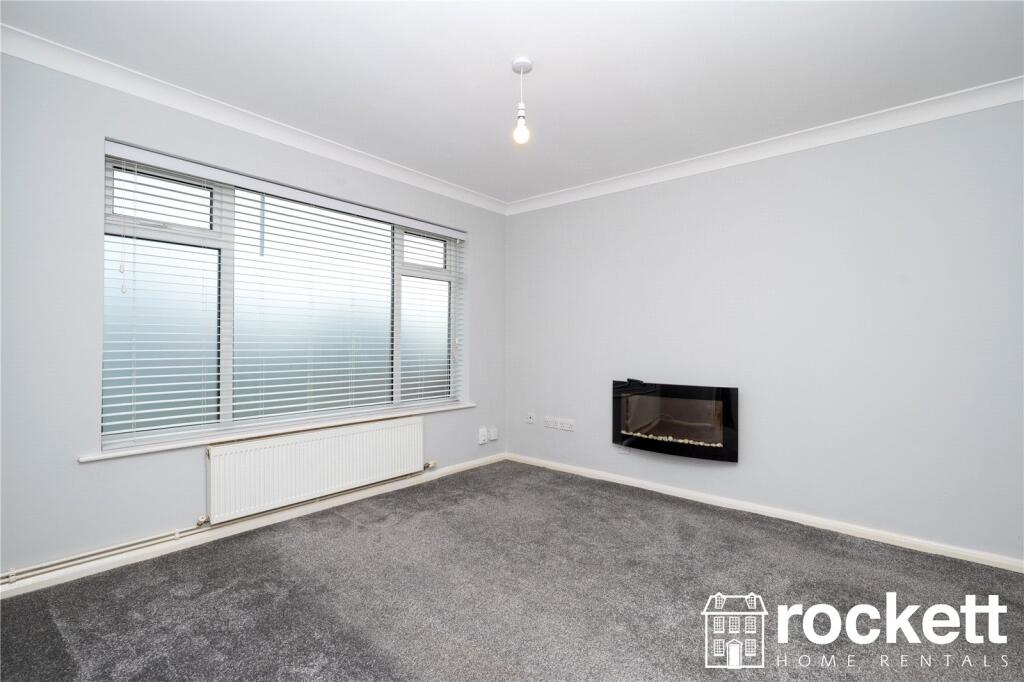
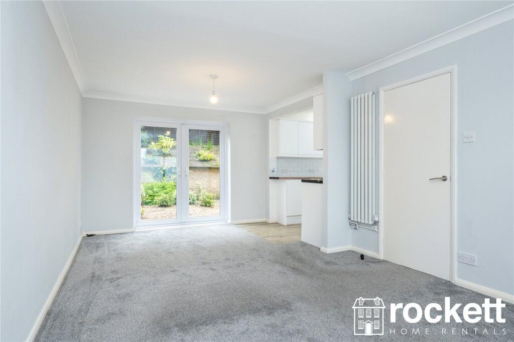
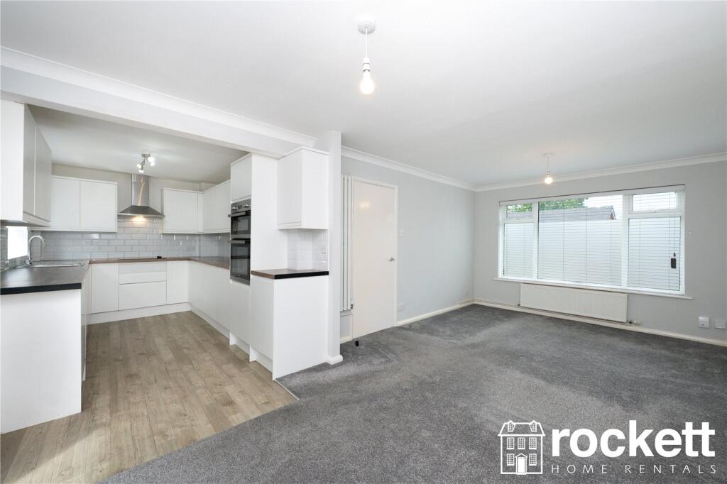
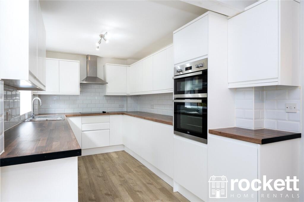
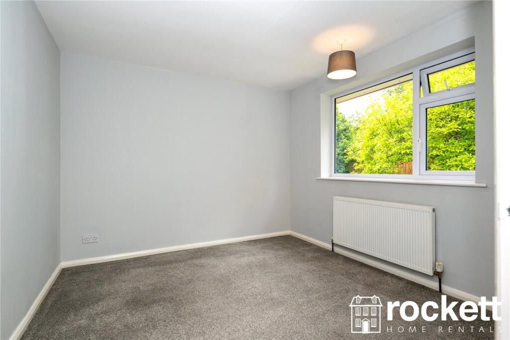
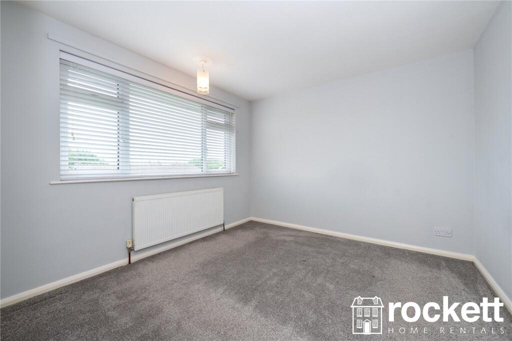
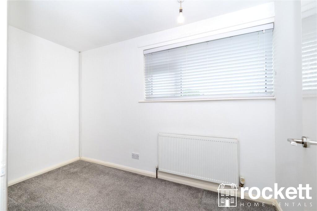
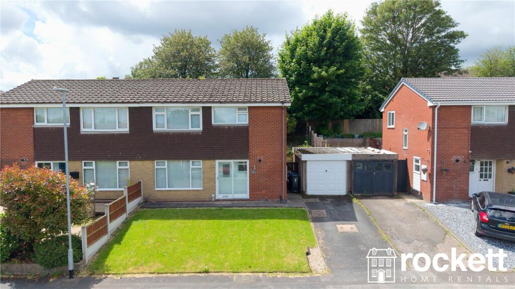
Picture No. 17 Picture No. 02 Picture No. 03 Picture No. 04 Picture No. 05 Picture No. 06 Picture No. 07 Picture No. 08 Picture No. 09 Picture No. 10 Picture No. 11 Picture No. 12 Picture No. 13 Picture No. 14 Picture No. 15 Picture No. 16 Picture No. 01 Picture No. 18 Picture No. 19 Picture No. 20 Picture No. 21 Picture No. 22
/ 22
Property details
Floor area
86 m²
Council tax band
TBC
Deprivation
Decile 8 (25,661 of 33,755)
Street crime
269 incidents within 1 mile (Mar 2026)
Additional details
- Parking
- Garage
- Garden
- Yes
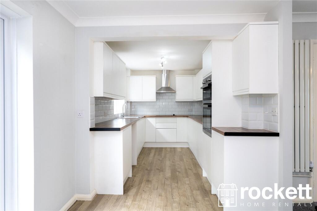
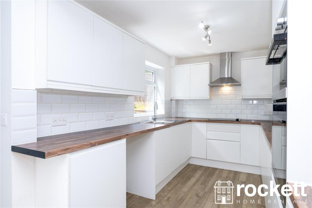
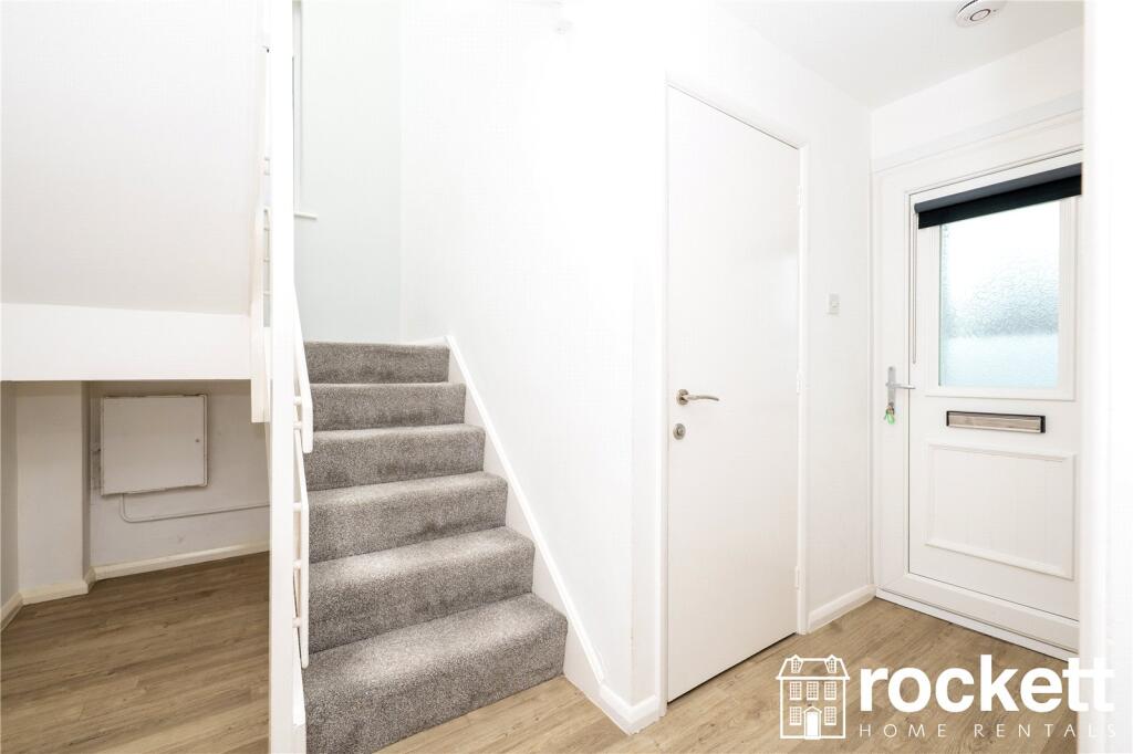
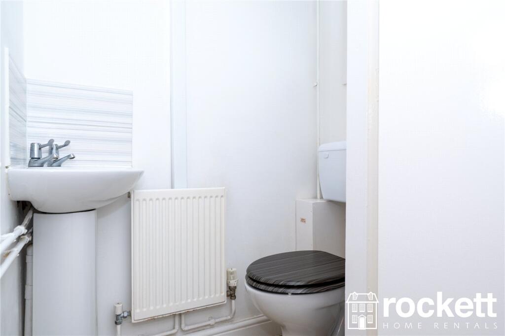
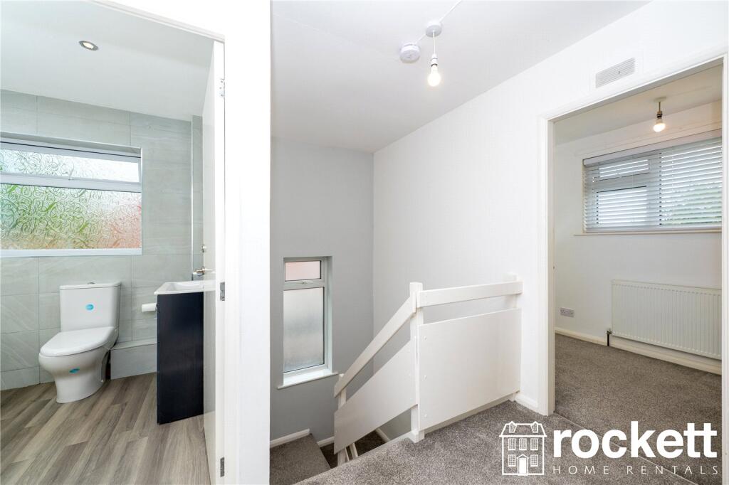
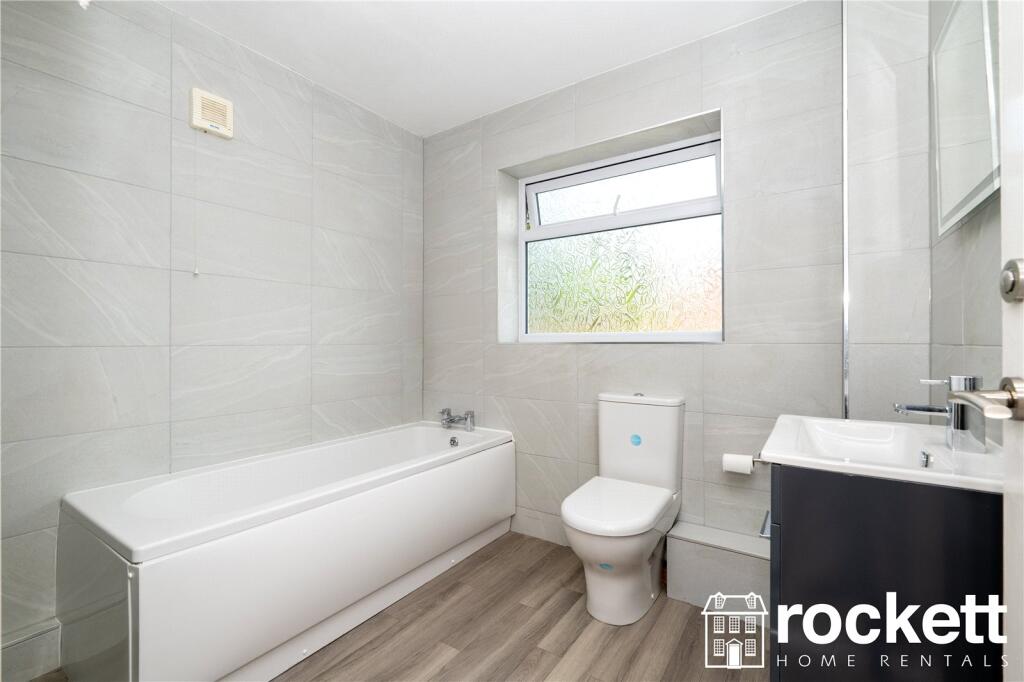
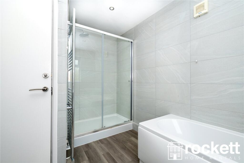
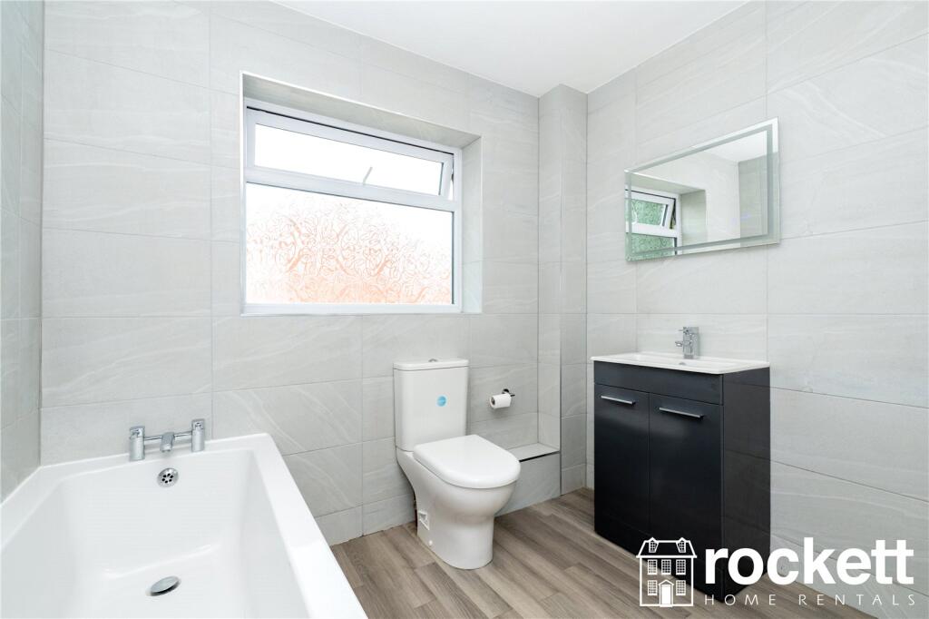
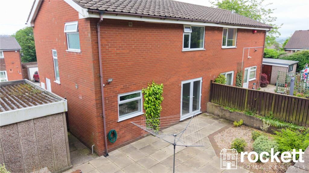
Description
Listed by
Wolstanton
Rockett Home Rentals Ltd
Reference: 89223264
EPC Rating & Upgrade Cost
Fetching EPC data… Refresh this page in a moment.
Flood risk
Zone: 1
Risk: Low
Job (default Low)
FENSA Certificates
This property has 1 FENSA certificate(s) on record, indicating window/door installations by FENSA-approved installers.
FENSA Certificate #13146197
Property Details
Street: 2 Dorridge Grove
Town: NEWCASTLE
Postcode: ST5 0HX
Installation Details
Items: 3 windows and 2 doors
Certificate Issued: 24/09/2018
Work Completed: 06/08/2018
This certificate data was retrieved from FENSA's database
What is FENSA? FENSA (Fenestration Self-Assessment Scheme) is a government-authorised scheme that monitors building regulation compliance for replacement windows and doors. Certificates indicate that work was completed by FENSA-approved installers.
Rental Range
Estimated market rent for Newcastle-under-Lyme. Low = conservative, Realistic = average, Optimistic = best case.
Based on Local Authority from postcode lookup → Newcastle-under-Lyme.
LHA (30th percentile) floor for Staffordshire North: £593/mo (Apr 2025 – Mar 2026)
Location
Nearby
Nearest stations, universities and amenities (distance from property).
| Type | Name | Distance |
|---|---|---|
| Bus stop | Unknown | 0.2 miles |
| Shop | B&M | 0.2 miles |
| Bus stop | Jubilee Road | 0.2 miles |
| Shop | Morrisons Daily | 0.4 miles |
| Train station | Longport | 1.2 miles |
| Hospital | Royal Stoke University Hospital | 1.6 miles |
| Train station | Stoke-on-Trent | 1.7 miles |
| Hospital | Haywood Hospital Walk-in Centre | 2.3 miles |
| University | Keele University | 3.1 miles |
| University | Buxton & Leek College | 9.6 miles |
Street-level crime
| Category | Count |
|---|---|
| Anti-social behaviour | 70 |
| Violence and sexual offences | 67 |
| Shoplifting | 29 |
| Public order | 27 |
| Criminal damage and arson | 20 |
| Vehicle crime | 13 |
| Other theft | 12 |
| Burglary | 8 |
| Drugs | 8 |
| Other crime | 5 |
| Robbery | 4 |
| Theft from the person | 3 |
| Possession of weapons | 2 |
| Bicycle theft | 1 |
| Total incidents | 269 |
Within 1 mile during Mar 2026. Source: data.police.uk (England & Wales).
Schools nearby
Nearest open schools with Ofsted ratings (England). Closed schools are not shown. Data from Get Information about Schools and Ofsted.
| Name | Type | Distance | Ofsted |
|---|---|---|---|
| May Bank Infants' School | Primary | 0.3 miles | Good — 21 Jan 2024 |
| St Wulstan's Catholic Primary School | Primary | 0.3 miles | Good — 19 Jul 2013 |
| St Margaret's CofE (VC) Junior School | Primary | 0.4 miles | Good — 1 May 2014 |
| The Orme Academy | Secondary | 0.6 miles | Good — 9 Jul 2024 |
| Ellison Primary Academy | Primary | 0.6 miles | Good — 14 Sep 2023 |
Rental Comparables
Residential lets from OpenRent and Rightmove for the area (same bedroom count). Use to validate rent estimates. Student lets are excluded.
Average rent: £935/mo (32 listings)