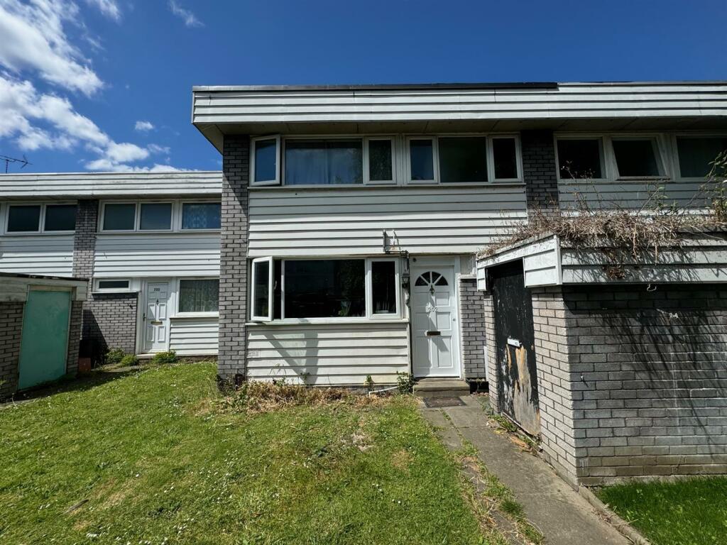
202 WHEATLANDS
HOUNSLOW, GREATER LONDON TW5 0SQ
Property details
Tenure
FREEHOLD
Floor area
106 m²
Council tax band
D
Last sold
£400,000 Oct 2024
Local average
£420,815 (-4.9%)
Deprivation
Decile 2 (5,796 of 33,755)
Street crime
328 incidents within 1 mile (Apr 2026)
Key features
- QUIET LOCATION
- FAMILY HOME WITH POTENTIAL
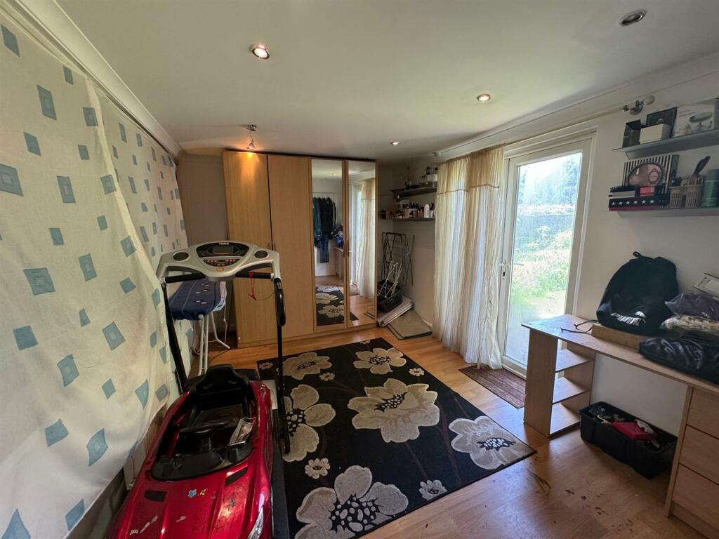
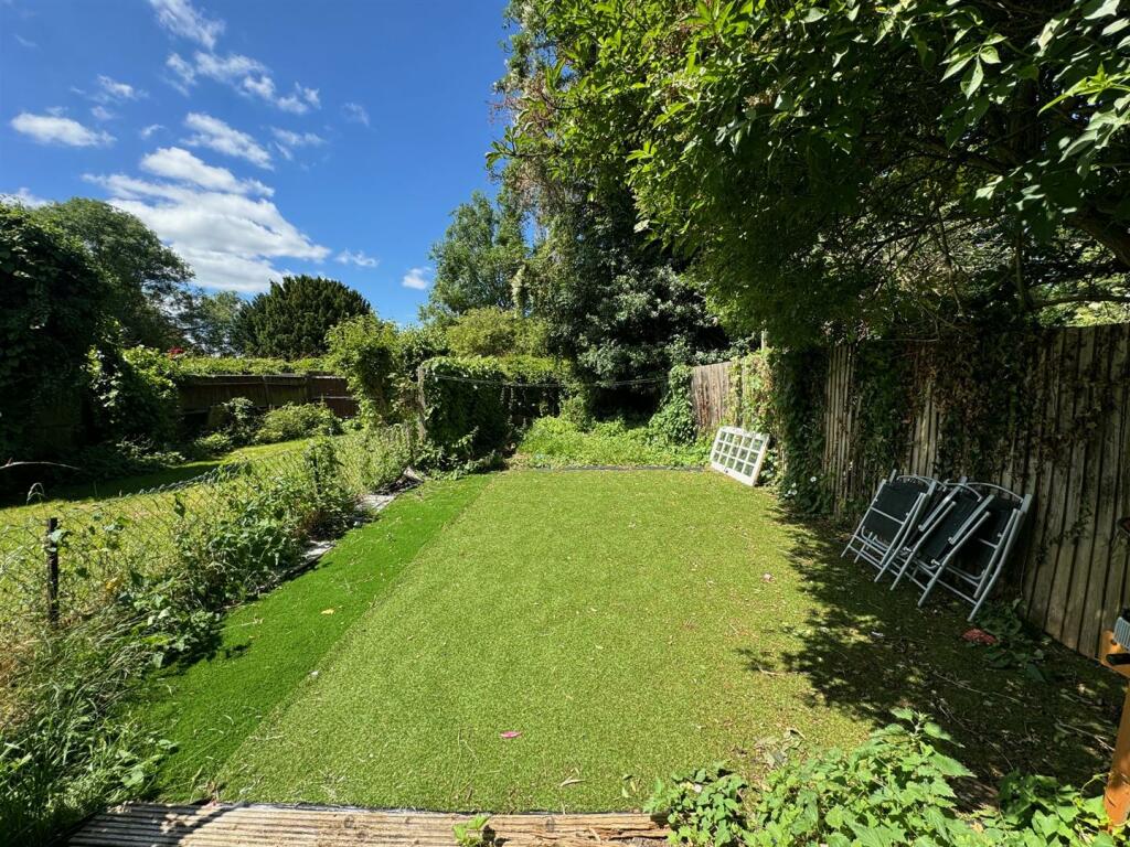
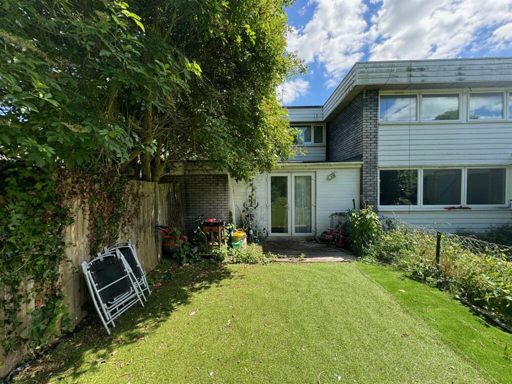
- GROUND FLOOR BEDROOM OVERLOOKING PRIVATE GARDENS
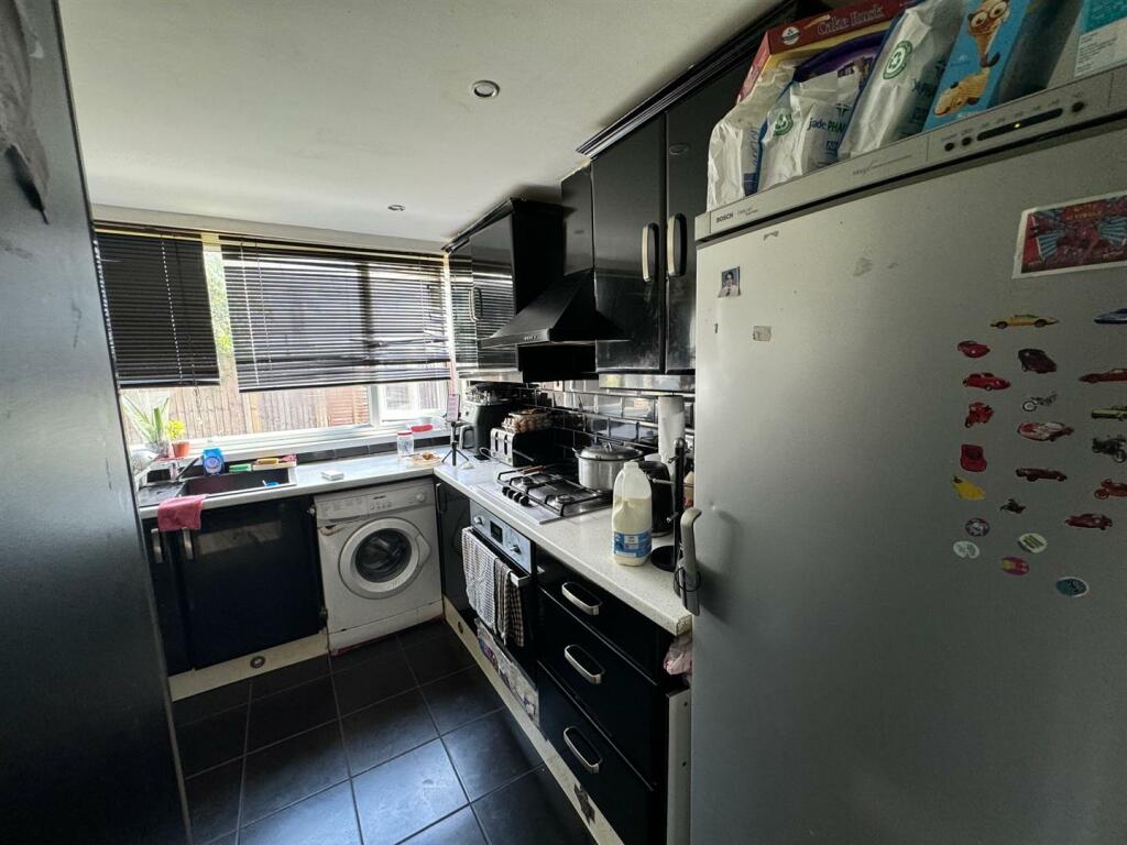
- KITCHEN
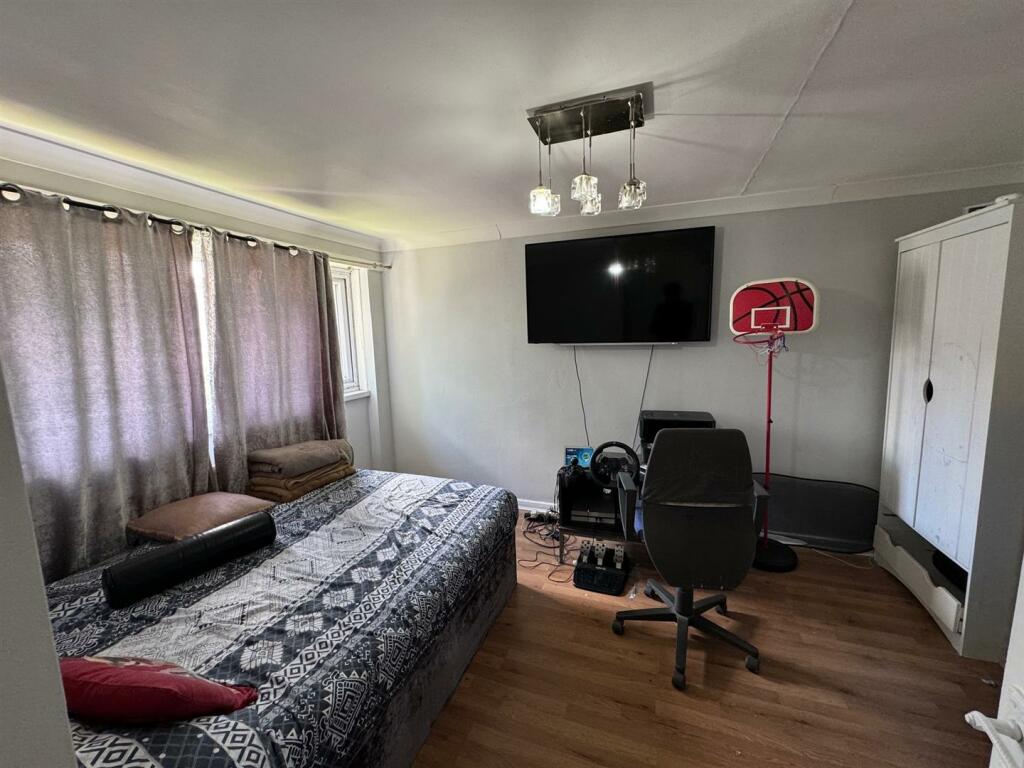
- THREE BEDROOMS
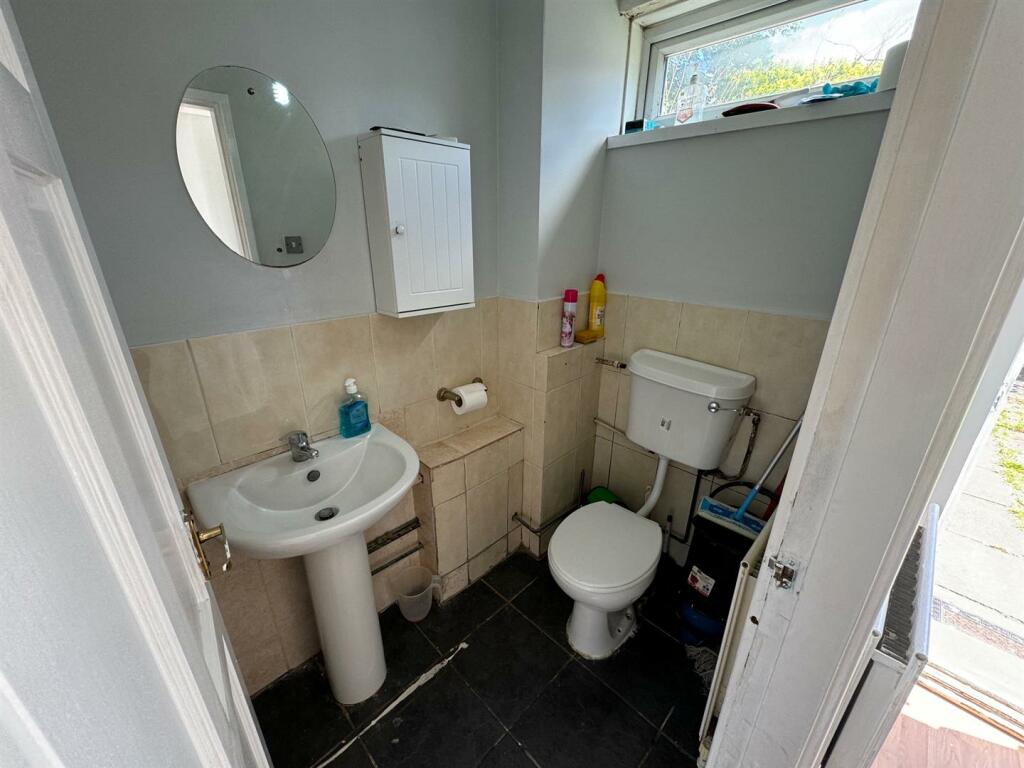
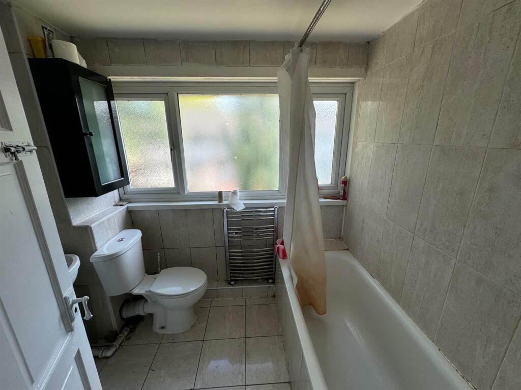
- GROUND FLOOR CLOAKROOM
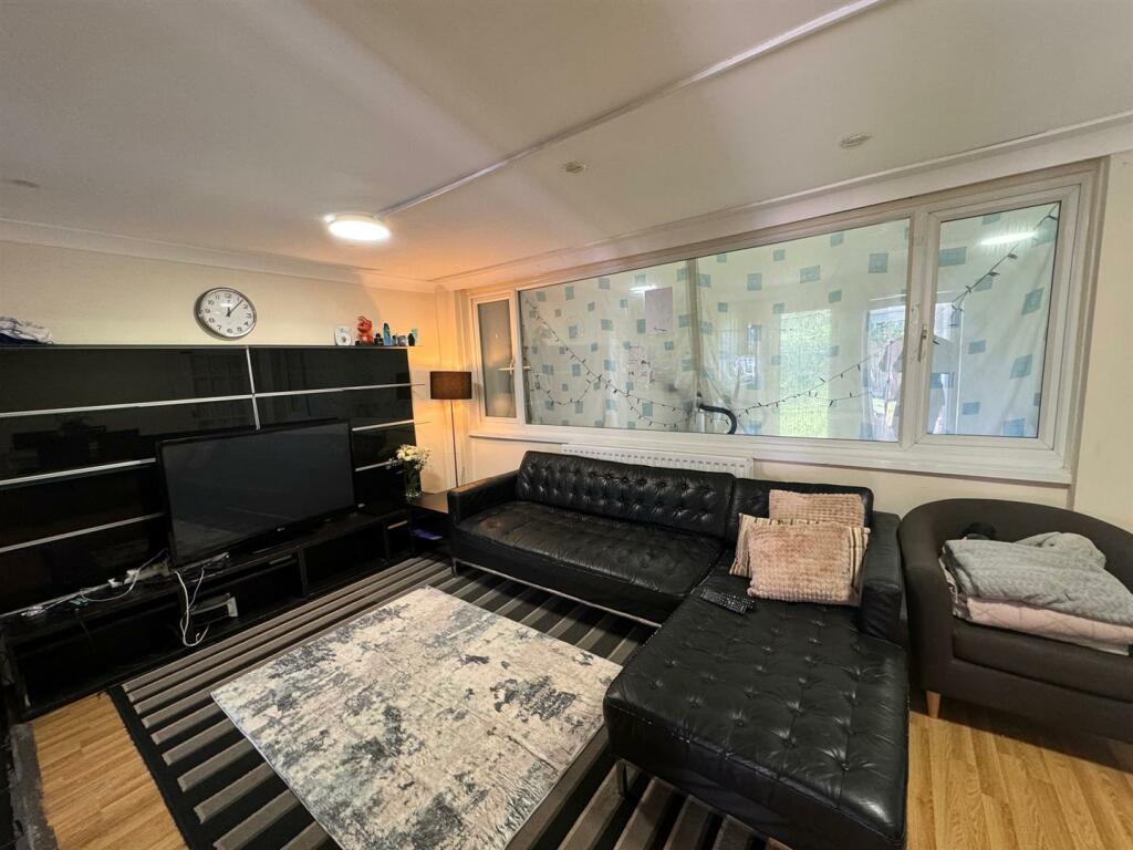
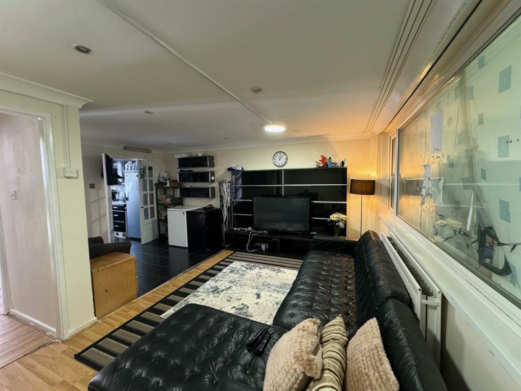
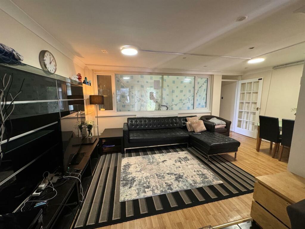
- OPEN PLAN LOUNGE
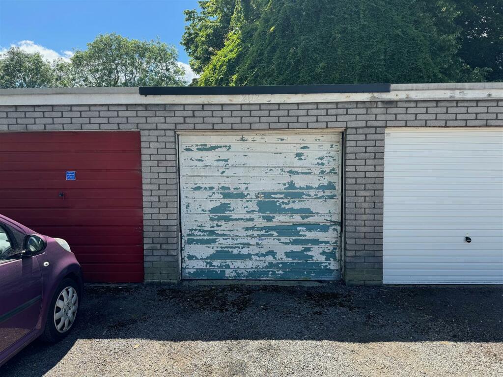
- GARAGE IN A BLOCK
- NO CHAIN
Additional details
- Parking
- Yes
- Garden
- Yes
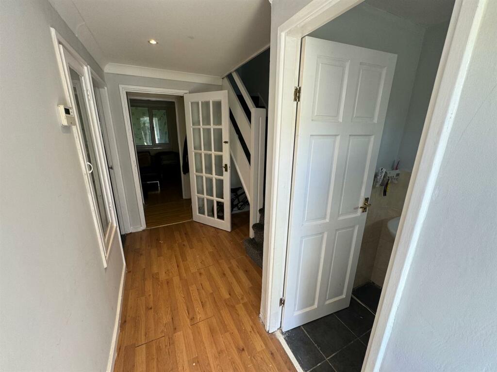
Description
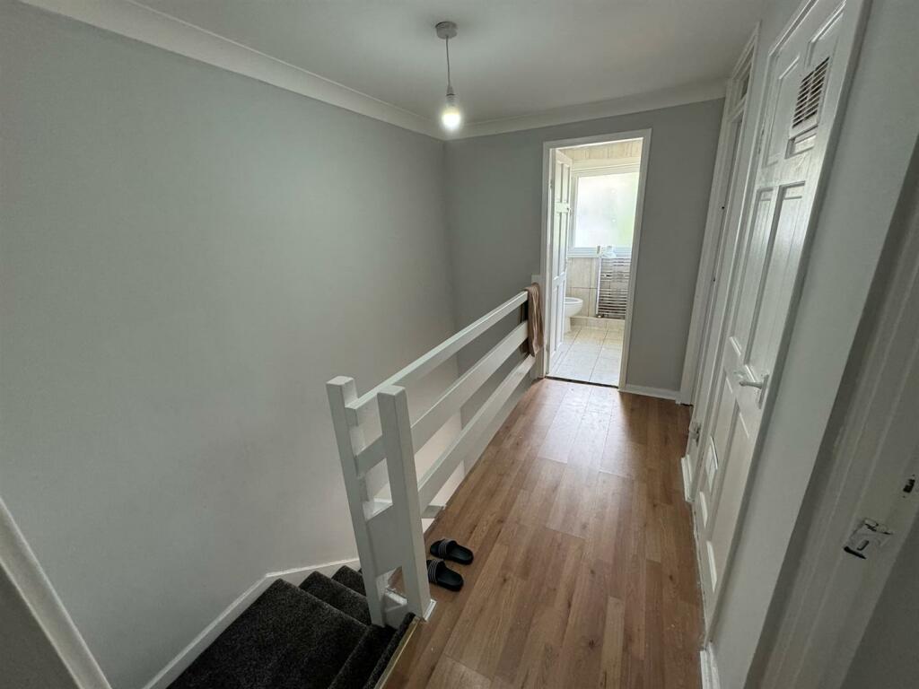
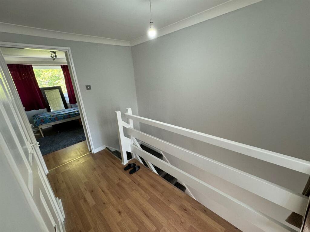
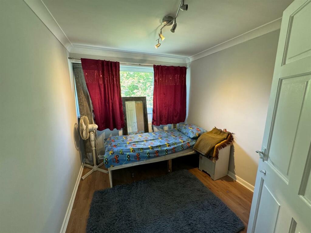
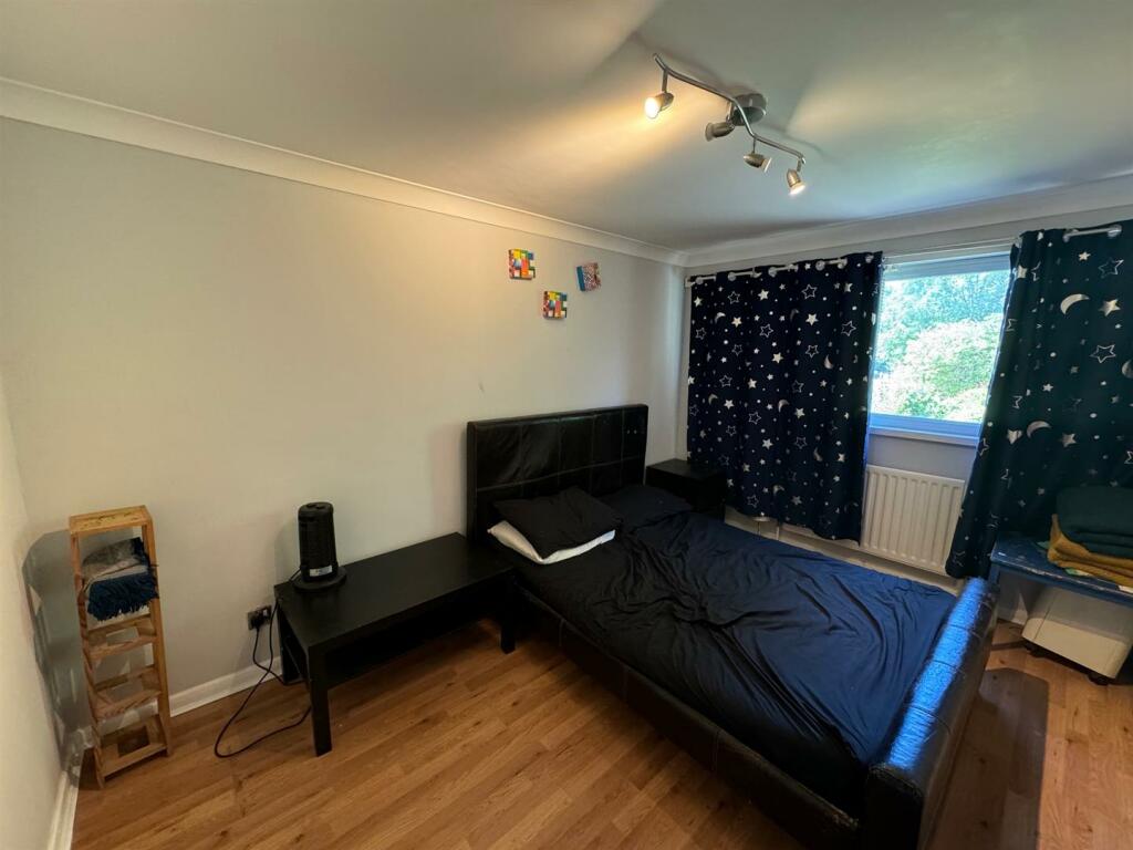
Upon entering, you are greeted by a cosy reception room, ideal for relaxing with loved ones. The property features three lovely bedrooms, offering ample space for rest and relaxation. Additionally, there is a further bedroom downstairs, providing flexibility for various living arrangements.
Situated in a quiet location, this home offers a serene environment away from the hustle and bustle of the city. With easy access to Heston Village, you can enjoy the convenience of local amenities, shops, and eateries just a stone's throw away.
This property is a fantastic opportunity for those looking to settle in a peaceful neighbourhood with the added benefit of no chain, making the buying process smoother and more straightforward. Don't miss out on the chance to make this lovely house your new home in Wheatlands!
Local Authority: London Borough of Hounslow
Council Tax Band: D
Size: 1113.43 SQ FT
EPC Rating: C
Listed by
Southall
Parkfields Estates Ltd
Reference: 149380673
EPC Rating & Upgrade Cost
Fetching EPC data… Refresh this page in a moment.
Flood risk
Zone: 1
Risk: Low
Job (default Low)
Floorplans
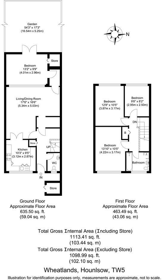
FP133045_0_Wheatlands, Hounlsow, TW5.jpg
EPC Graphs
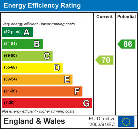
EE Rating
Price history
63% since 2005
| Event | Date | Price | % change |
|---|---|---|---|
| Sold | 31/10/2024 (1 year ago) | £400,000 | +62.6% |
| Sold | 30/11/2005 (20 years ago) | £246,000 | — |
Source: HM Land Registry Price Paid Data. Crown copyright.
Sold Comparables
Same street and nearby sales within 0.25 miles (last 5 years). Data from Land Registry Price Paid.
| Address | Price | Date | Type |
|---|---|---|---|
| Same street 204 WHEATLANDS, HOUNSLOW, GREATER LONDON, TW5 0SQ | £395,000 | 30/05/2023 | Terraced |
| 1 FERRARO CLOSE, HOUNSLOW, GREATER LONDON, TW5 0UQ | £480,000 | 05/04/2023 | Terraced |
| 63 WHEATLANDS, HOUNSLOW, GREATER LONDON, TW5 0SG | £470,000 | 24/08/2022 | Terraced |
| WESTBOURNE HOUSE FLAT 38 WHEATLANDS, HOUNSLOW, GREATER LONDON, TW5 0SL | £325,000 | 21/12/2021 | Terraced |
| WESTBOURNE HOUSE FLAT 38 WHEATLANDS, HOUNSLOW, GREATER LONDON, TW5 0SL | £235,000 | 21/12/2021 | Terraced |
Street average: £395,000 (1 sale)
Area average: £377,500 (4 sales)
Capital growth trend
Land Registry outcode average: last 12 months vs 5y and 10y ago (from sold prices).
House Price Index (HM Land Registry — official index, not sold-price averages): Hounslow. Series: Terraced. As of March 2026.
Rental Range
Estimated market rent for Hounslow. Low = conservative, Realistic = average, Optimistic = best case.
Based on Local Authority from postcode lookup → Hounslow.
LHA (30th percentile) floor for Outer West London: £1,471/mo (Apr 2025 – Mar 2026)
Location
Nearby
Nearest stations, universities and amenities (distance from property).
| Type | Name | Distance |
|---|---|---|
| Bus stop | St Leonard's Church | 0.1 miles |
| Shop | Heston Florist | 0.2 miles |
| Shop | Nisa Local | 0.2 miles |
| Train station | Osterley | 0.8 miles |
| Train station | Hounslow Central | 1.0 miles |
| Hospital | Hounslow Medical Centre | 1.2 miles |
| University | University of West London | 3.2 miles |
| University | University of West London - Hellenic Institute Of Maritime Studies | 3.2 miles |
| Hospital | Bridge Lane Health Centre | 8.8 miles |
Street-level crime
| Category | Count |
|---|---|
| Violence and sexual offences | 103 |
| Anti-social behaviour | 89 |
| Vehicle crime | 27 |
| Criminal damage and arson | 21 |
| Public order | 20 |
| Shoplifting | 18 |
| Other theft | 16 |
| Burglary | 9 |
| Drugs | 8 |
| Other crime | 6 |
| Theft from the person | 4 |
| Bicycle theft | 3 |
| Robbery | 3 |
| Possession of weapons | 1 |
| Total incidents | 328 |
Within 1 mile during Apr 2026. Source: data.police.uk (England & Wales).
Schools nearby
Nearest open schools with Ofsted ratings (England). Closed schools are not shown. Data from Get Information about Schools and Ofsted.
| Name | Type | Distance | Ofsted |
|---|---|---|---|
| Heston Primary School | Primary | 0.1 miles | Good — 6 Dec 2023 |
| Heston Community School | Secondary | 0.2 miles | Good — 6 Feb 2023 |
| The Rosary Catholic Primary School | Primary | 0.2 miles | Good — 10 Dec 2023 |
| Tarbiyyah Primary School | Other | 0.2 miles | Good — 18 Mar 2024 |
| Westbrook Primary School | Primary | 0.3 miles | — (Inspected (no overall grade)) |
Rental Comparables
Rental listings exist nearby, but none matched the 3-bedroom count for this property.
Rent-driven metrics
Based on Area rent estimate.
- Rent ratio — Monthly rent ÷ purchase price (1% rule). 1%+ = strong, 0.8–1% = okay, <0.8% = weak for cashflow.
- Max investor price — Rent ÷ 0.8%; the price at which rent would be 0.8% of price (Stoke-style target).
- Target investor price — Rent ÷ 1%; the price at which rent would be 1% of price (strong cashflow band).
- Gross yield — Annual rent as % of purchase price (no costs).