FLAT 30
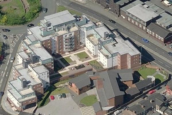
TOWER COURT, LONDON ROAD, NEWCASTLE, STAFFORDSHIRE ST5 1LT
£1,045 pcm
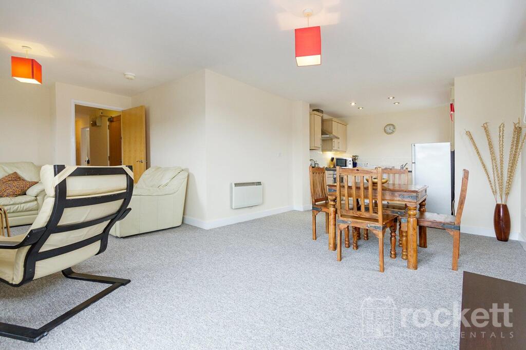
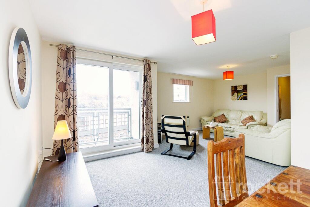
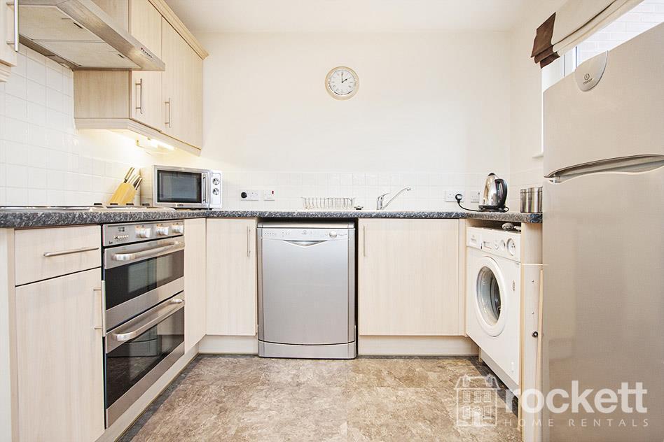
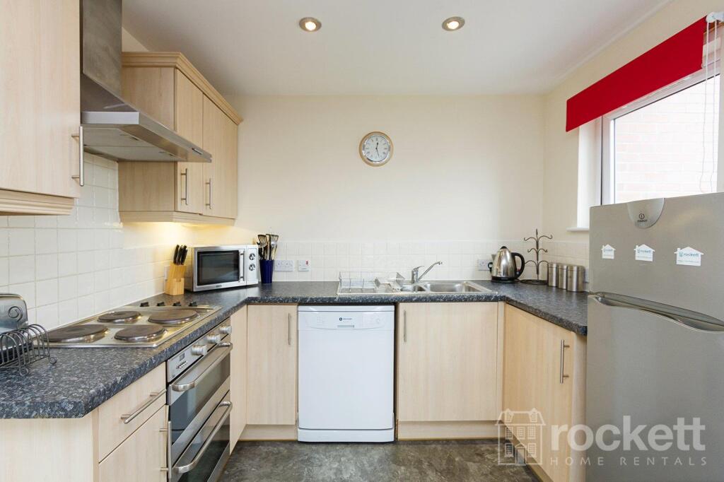
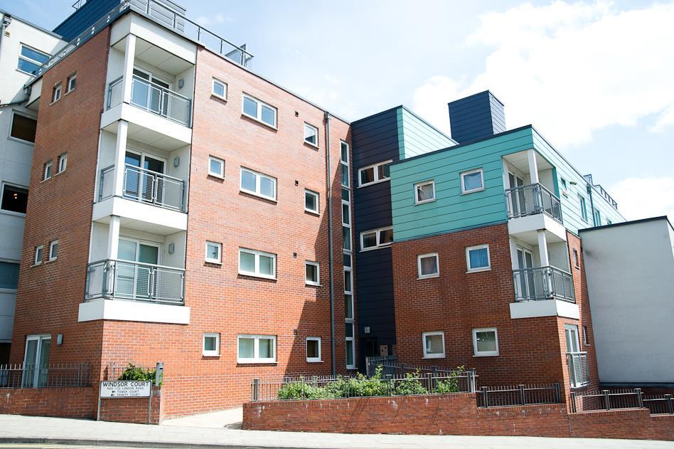
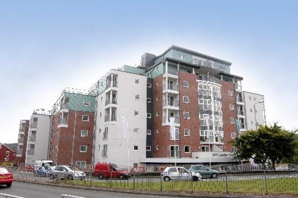
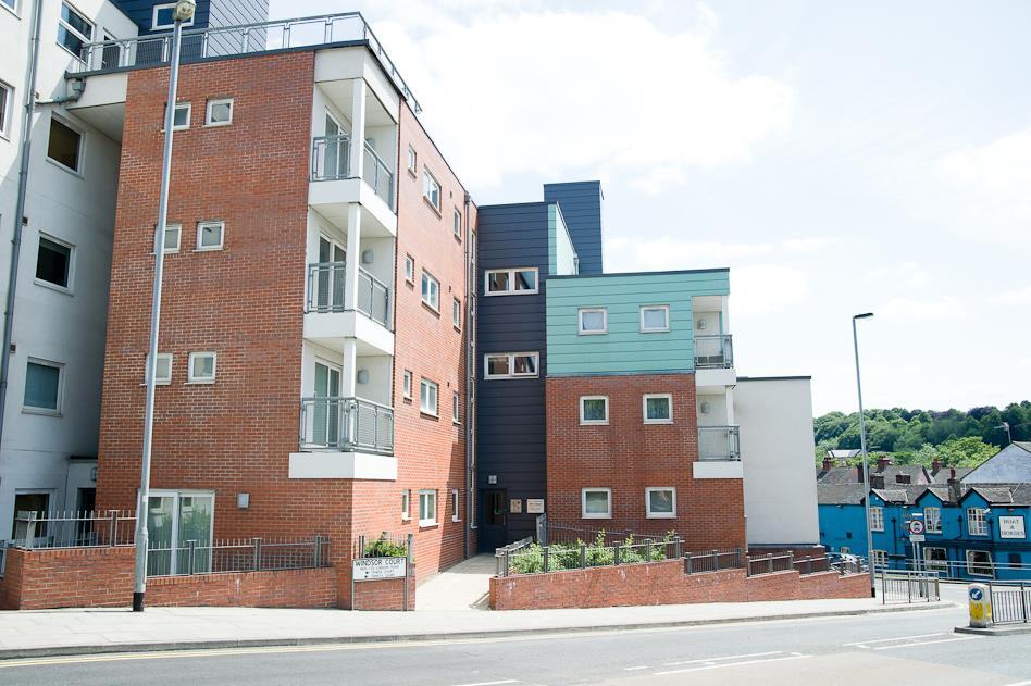
Picture 1 Picture 2 Picture 3 Picture 4 Picture 5 Picture 6 Picture 7 Picture 8 Picture 9 Picture 10 Picture 11 Picture 12 Picture 13 Picture 14 Picture 15 Picture 16 Picture 17 Picture 18 Picture 19 Picture 20 Picture 21 Picture 22 Picture 23 Picture 24 Picture 25 Picture 26 Picture 27 Picture 28 Picture 29 Picture 30 Picture 31 Picture 32 Picture 33 Picture 34 Picture 35 Picture 36 Google Maps Image
/ 37
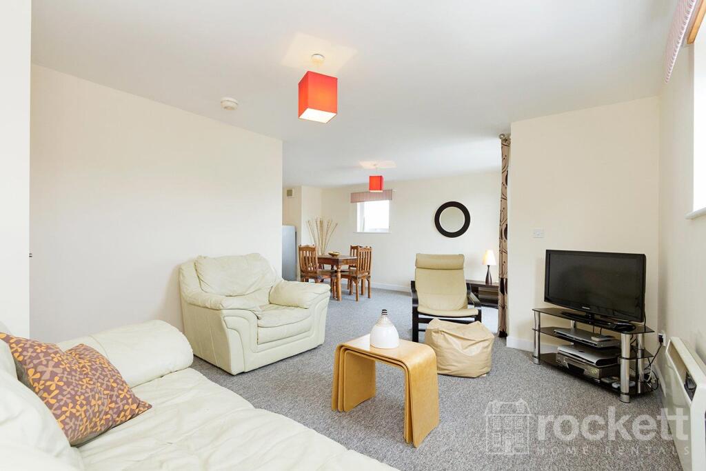
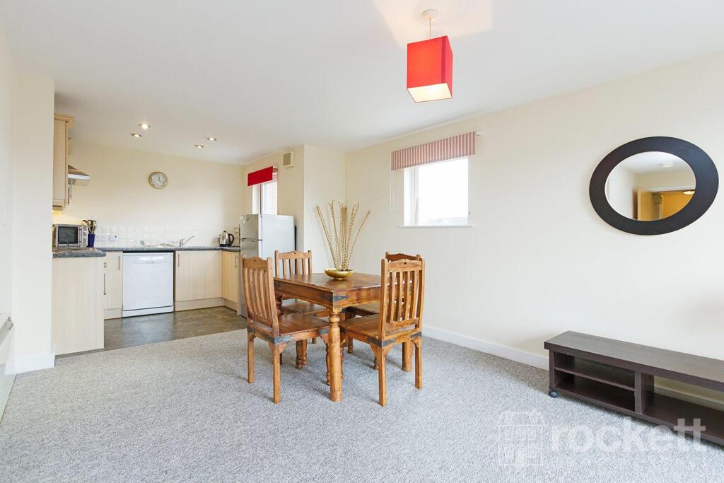
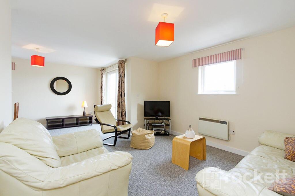
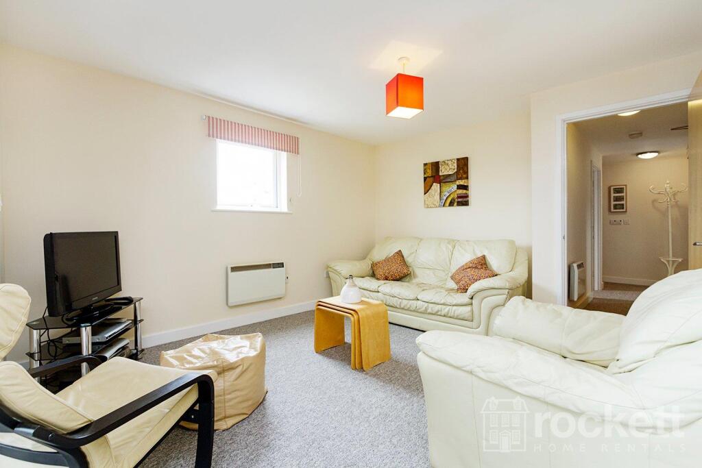
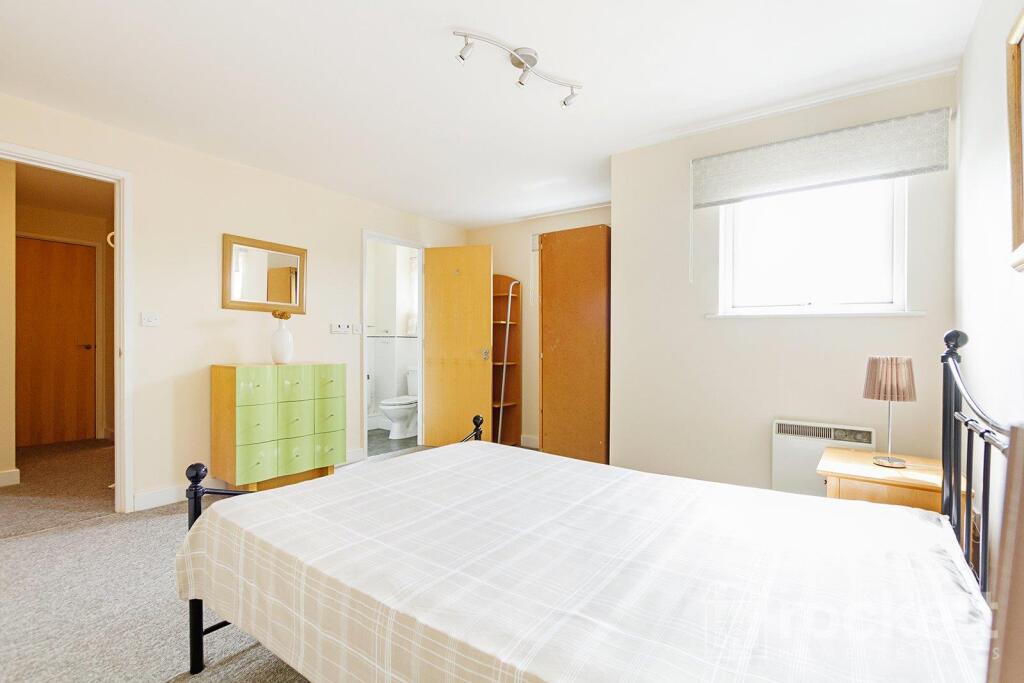
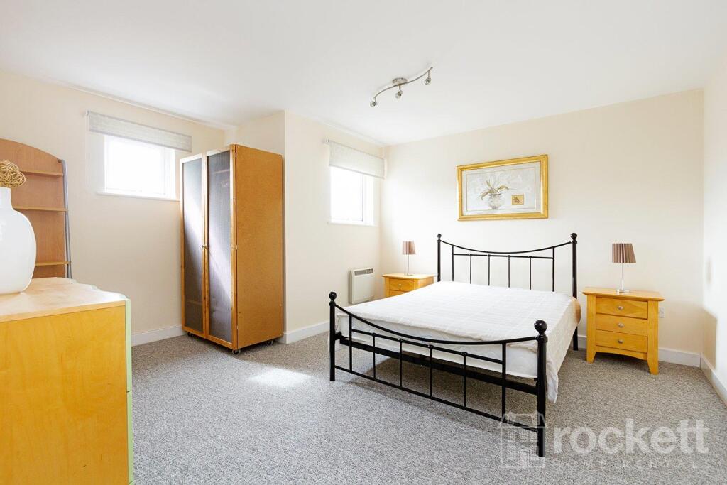
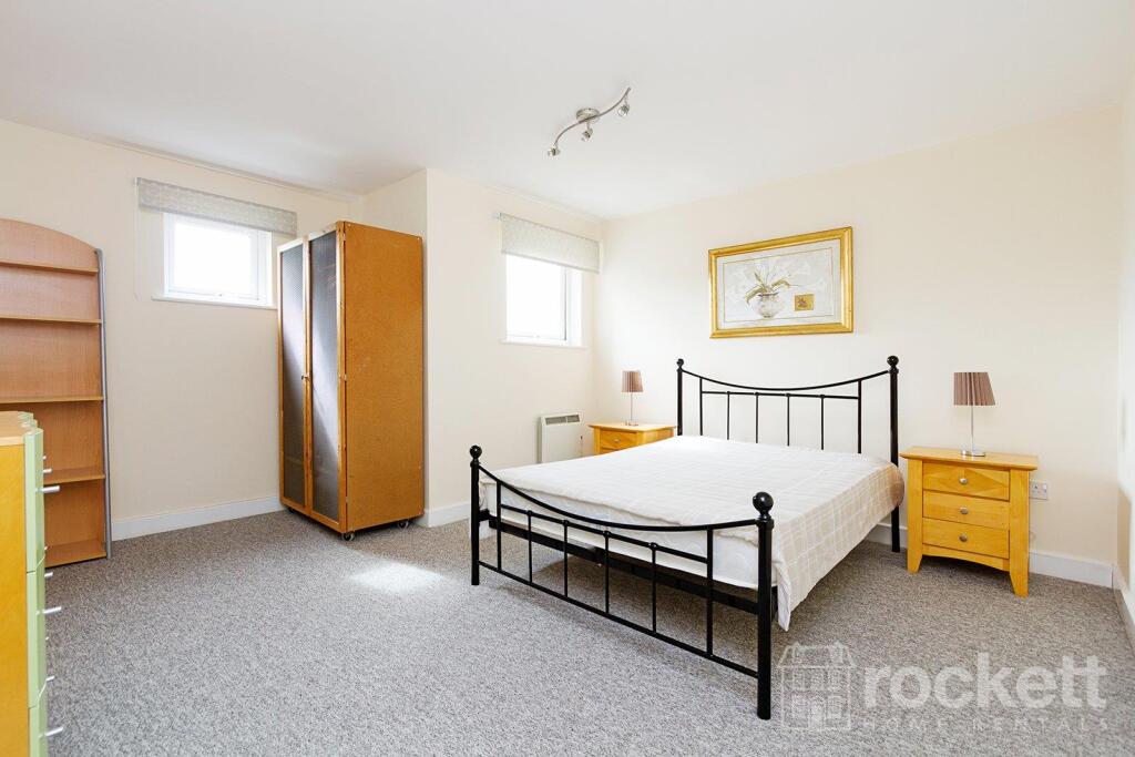
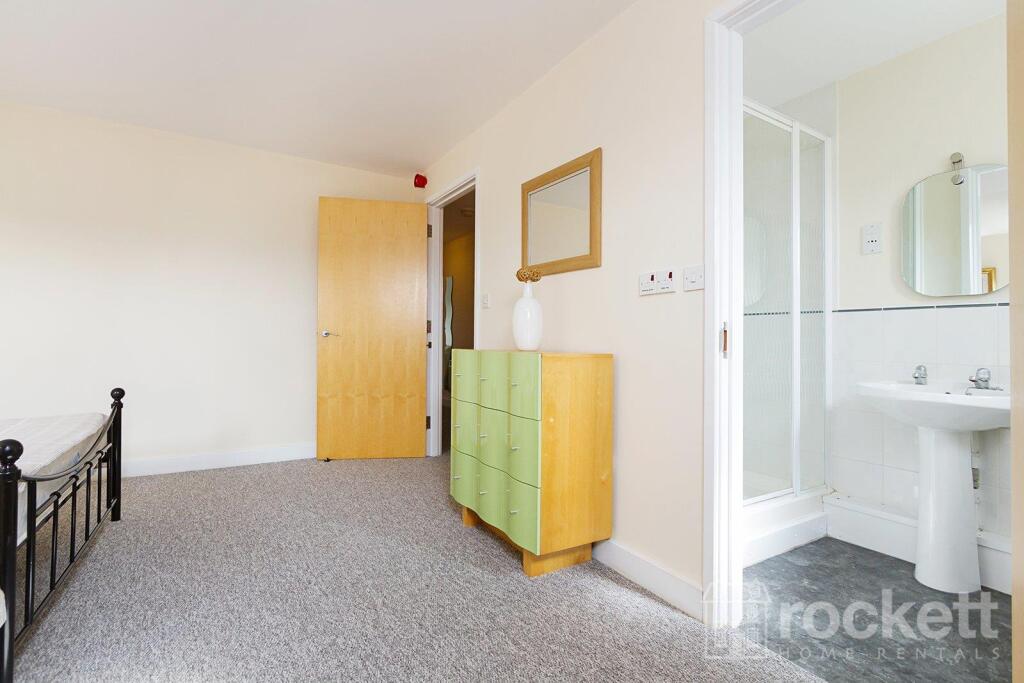
Property details
Floor area
76 m²
Council tax band
D
Deprivation
Decile 4 (10,391 of 33,755)
Street crime
331 incidents within 1 mile (Apr 2026)
Additional details
- Parking
- Allocated
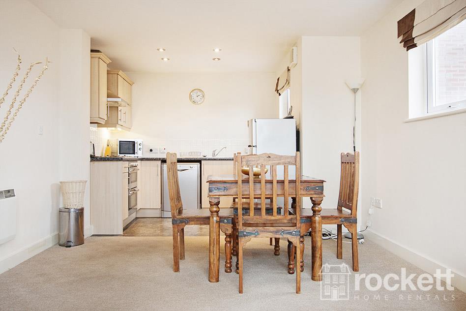
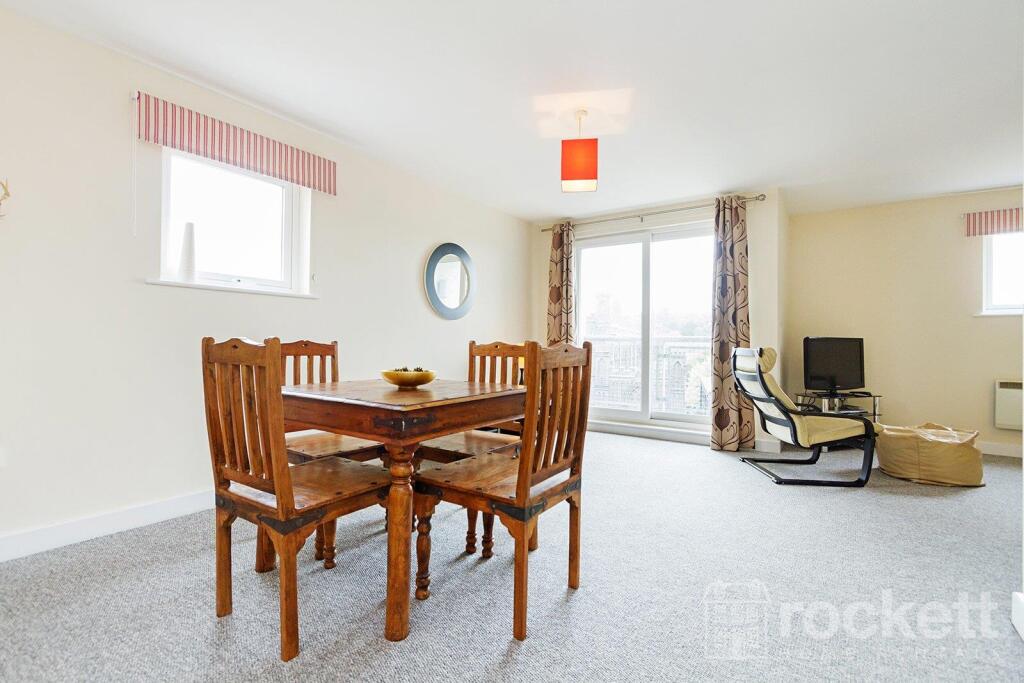
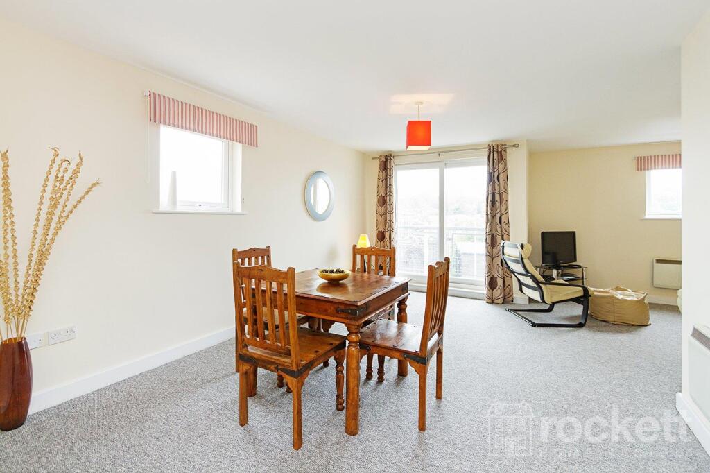
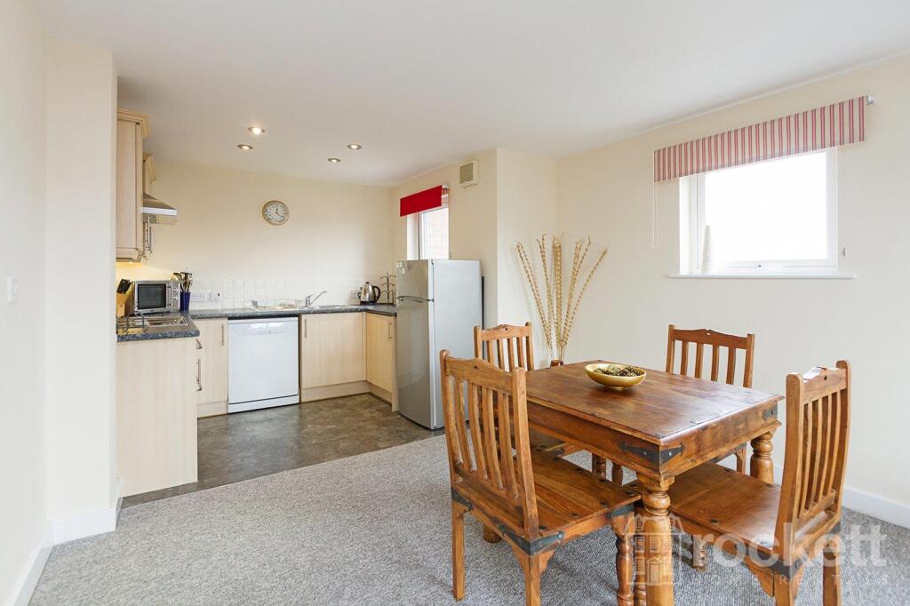
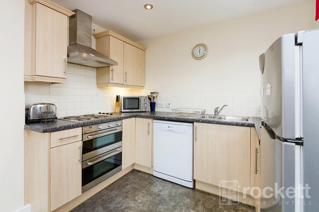
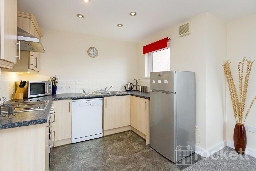
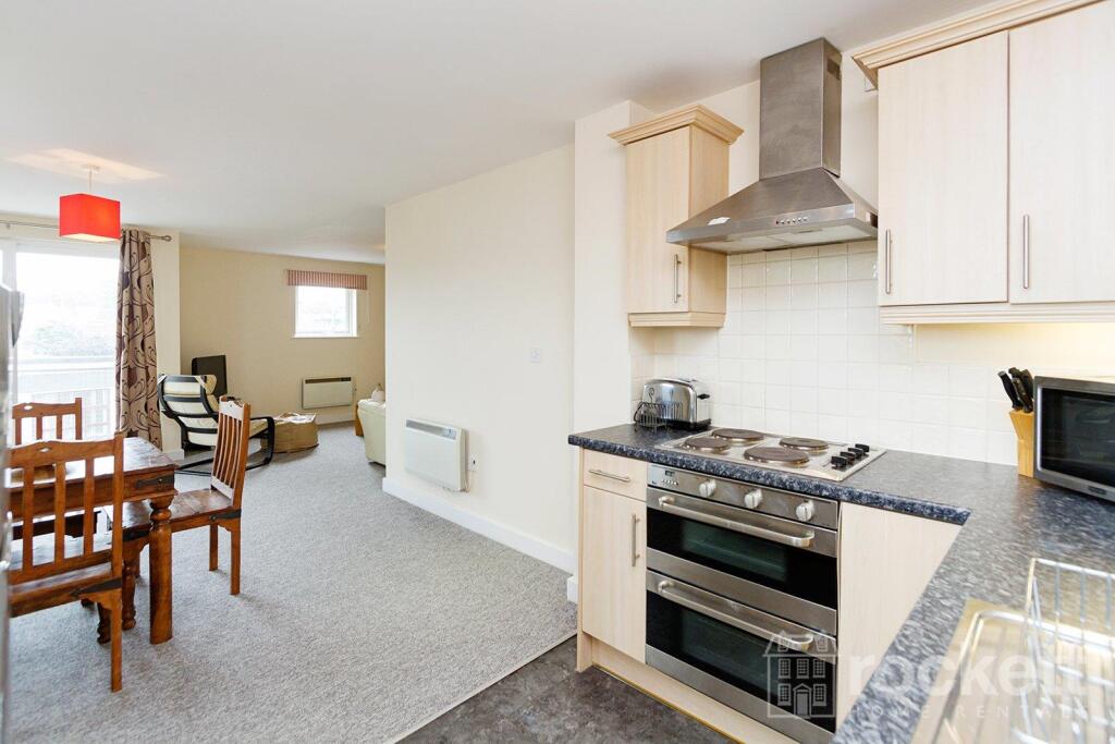
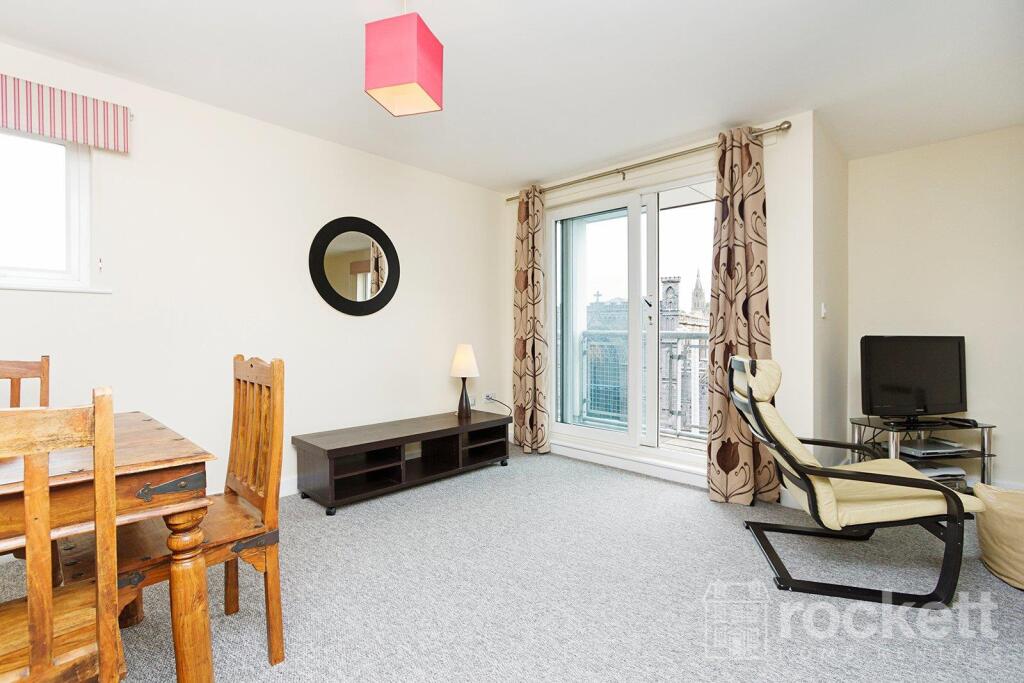
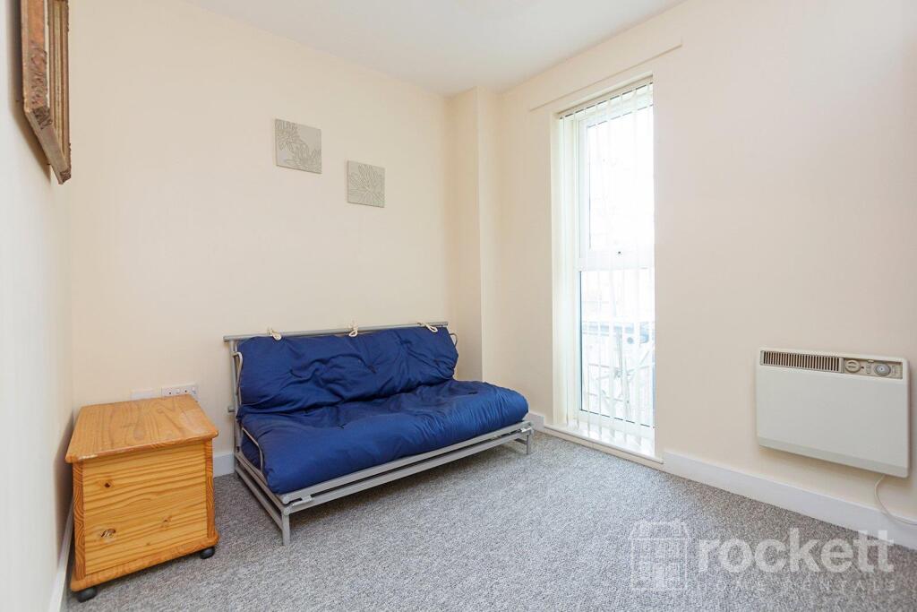
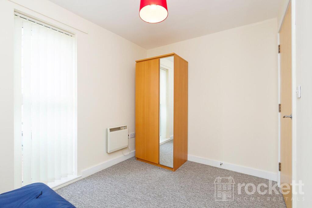
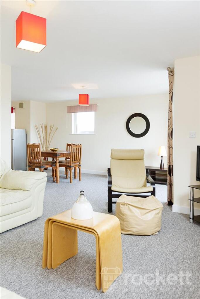
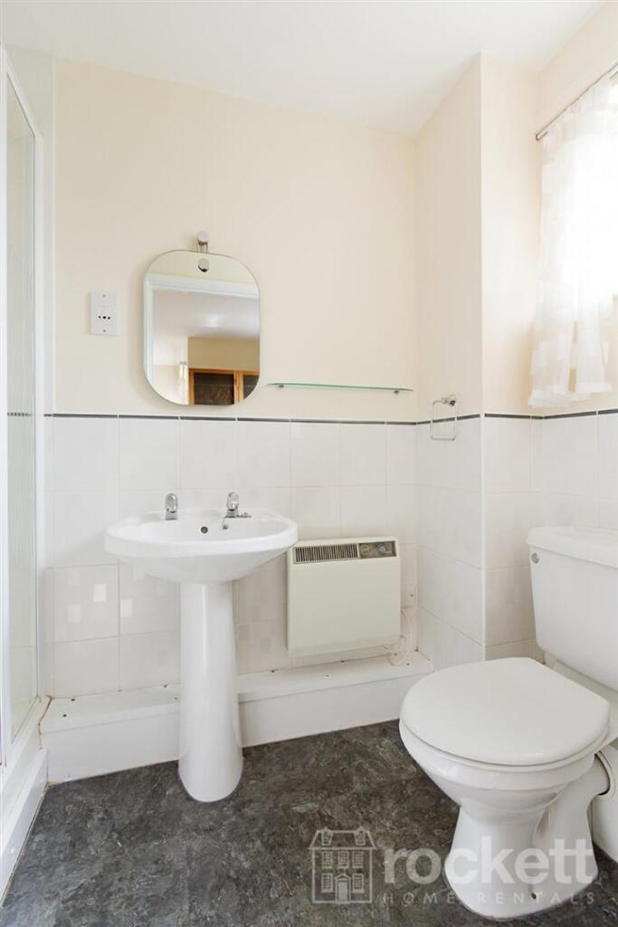
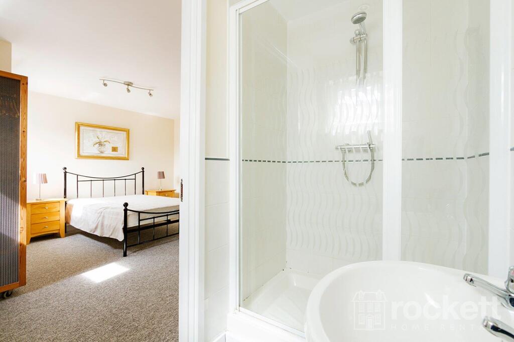
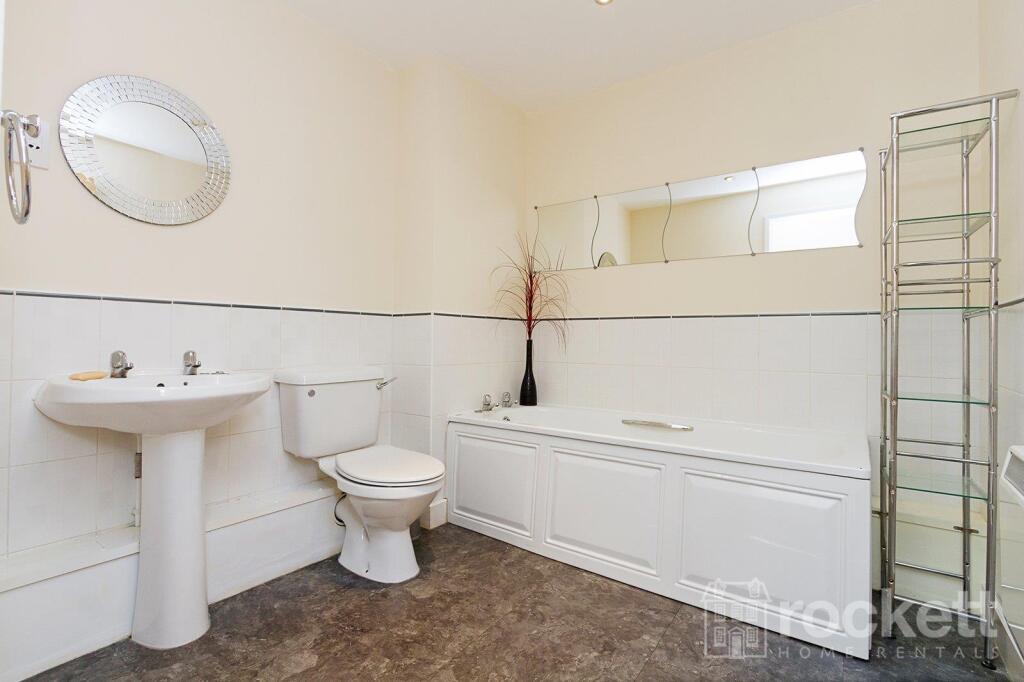
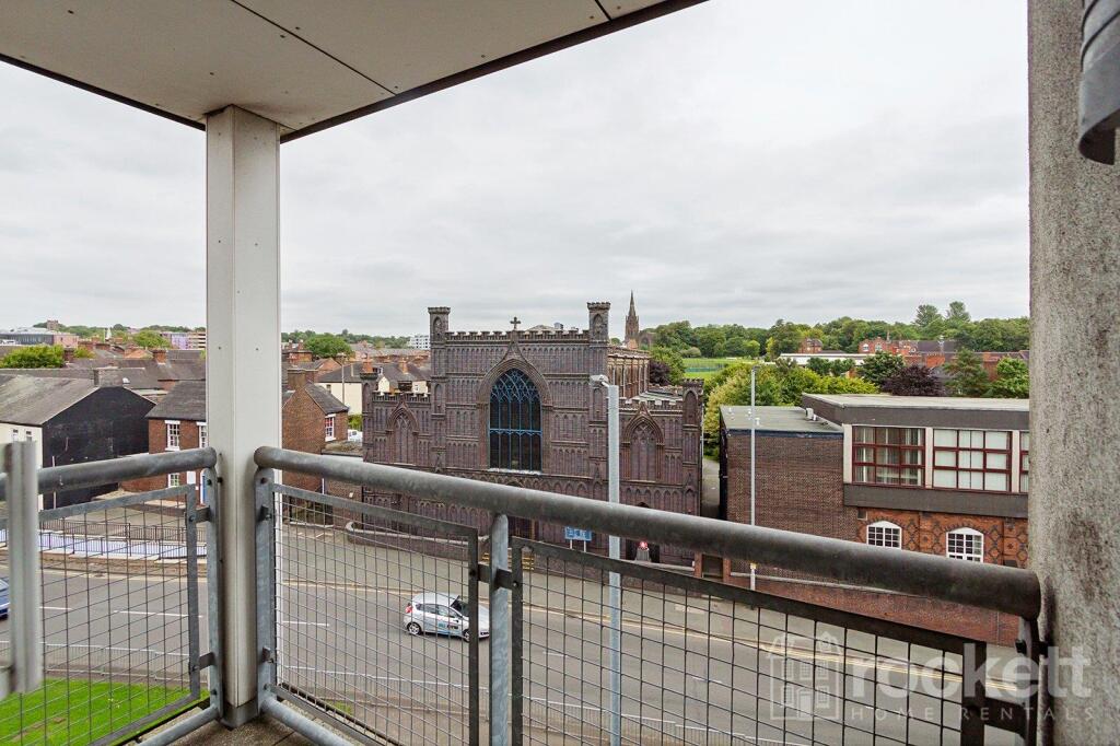
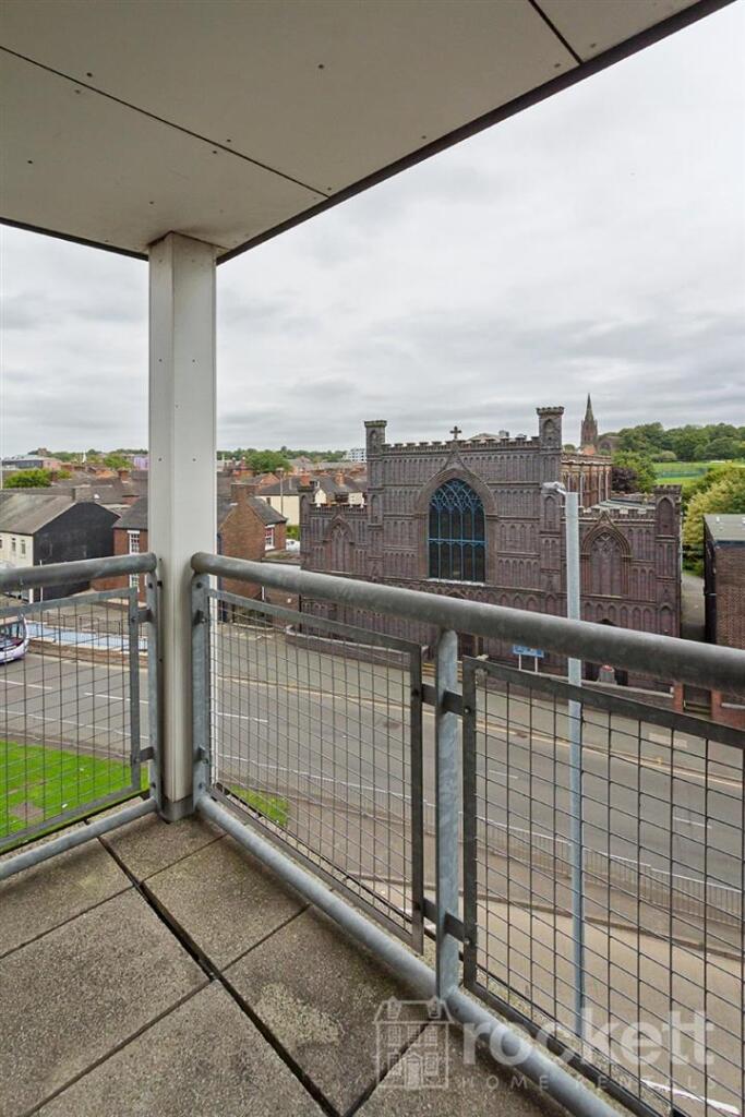
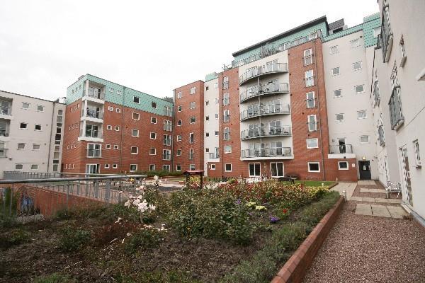
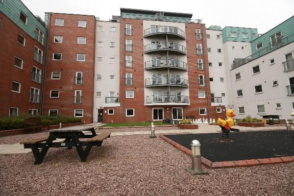
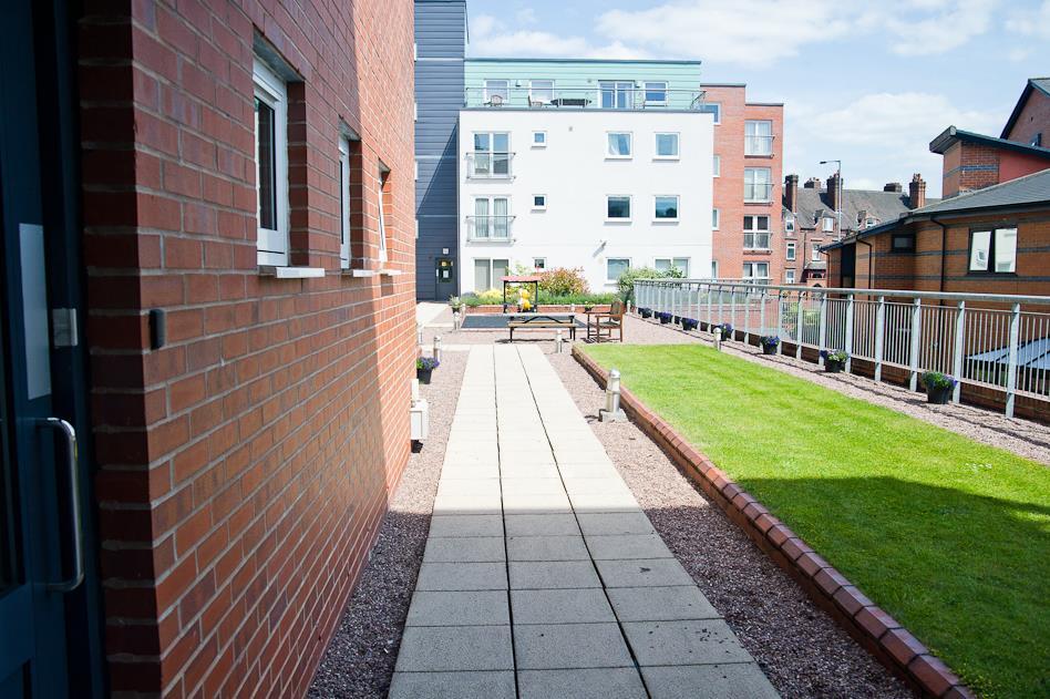
Description
ROC050126
Please see a walkthrough video:
We have created a brochure full of lots of information on the property for you:
Listed by
Wolstanton
Rockett Home Rentals Ltd
Reference: 88999086
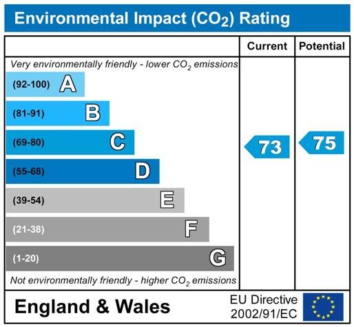
EPC Rating & Upgrade Cost
Fetching EPC data… Refresh this page in a moment.
Flood risk
Zone: 1
Risk: Low
Job (default Low)
EPC Graphs
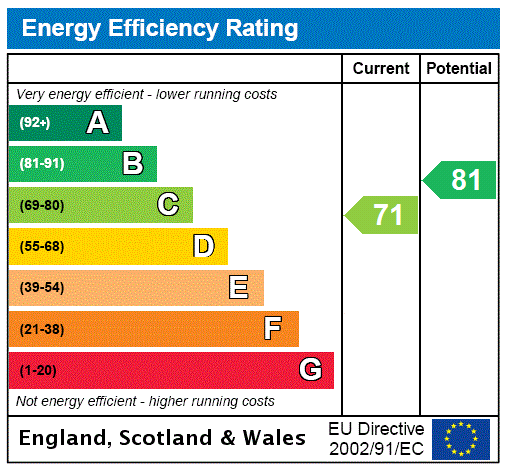
EPC Rating Graph
Rental Range
Estimated market rent for Newcastle-under-Lyme. Low = conservative, Realistic = average, Optimistic = best case.
Based on Local Authority from postcode lookup → Newcastle-under-Lyme.
LHA (30th percentile) floor for Staffordshire North: £479/mo (Apr 2025 – Mar 2026)
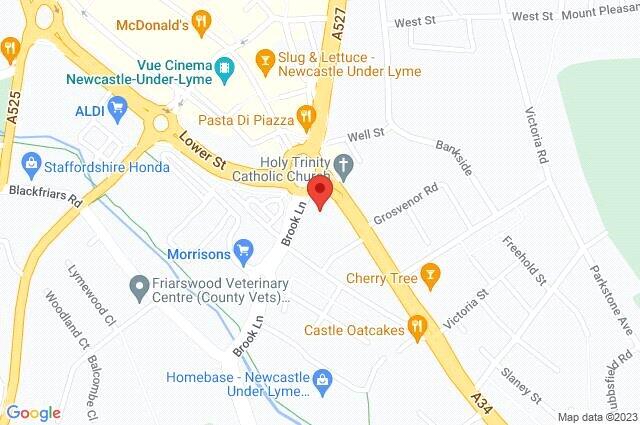
Location
Address
1 London Road
Nearby
Nearest stations, universities and amenities (distance from property).
| Type | Name | Distance |
|---|---|---|
| Bus stop | Cherry Tree PH | 0.1 miles |
| Bus stop | Lyme Valley Road | 0.1 miles |
| Shop | Timpson | 0.1 miles |
| Shop | Sports Direct | 0.2 miles |
| Hospital | Royal Stoke University Hospital | 0.6 miles |
| Hospital | North Staffordshire Nuffield Hospital | 1.4 miles |
| Train station | Stoke-on-Trent | 1.8 miles |
| University | Keele University | 2.0 miles |
| Train station | Longport | 2.4 miles |
| University | University of Buckingham Crewe Campus | 10.1 miles |
Street-level crime
| Category | Count |
|---|---|
| Violence and sexual offences | 100 |
| Anti-social behaviour | 62 |
| Public order | 35 |
| Criminal damage and arson | 25 |
| Shoplifting | 23 |
| Other theft | 20 |
| Burglary | 16 |
| Drugs | 16 |
| Vehicle crime | 11 |
| Other crime | 8 |
| Robbery | 6 |
| Possession of weapons | 5 |
| Theft from the person | 3 |
| Bicycle theft | 1 |
| Total incidents | 331 |
Within 1 mile during Apr 2026. Source: data.police.uk (England & Wales).
Schools nearby
Nearest open schools with Ofsted ratings (England). Closed schools are not shown. Data from Get Information about Schools and Ofsted.
| Name | Type | Distance | Ofsted |
|---|---|---|---|
| Hassell Primary School | Primary | 0.1 miles | Good — 25 Oct 2023 |
| Blackfriars Academy | Other | 0.3 miles | Outstanding — 6 Feb 2013 |
| Newcastle-under-Lyme School | Other | 0.3 miles | — (No rating) |
| St Giles' and St George's Church of England Academy | Primary | 0.4 miles | Good — 21 May 2023 |
| Co-op Academy Friarswood | Primary | 0.4 miles | Good — 8 Mar 2013 |
Rental Comparables
Residential lets from OpenRent and Rightmove for the area (same bedroom count). Use to validate rent estimates. Student lets are excluded.
Average rent: £839/mo (48 listings)