4 NEWTOWN
HENLOW, HENLOW, BEDFORDSHIRE SG16 6AJ
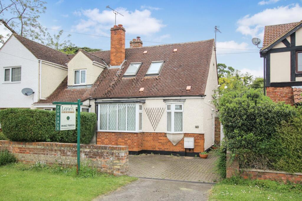
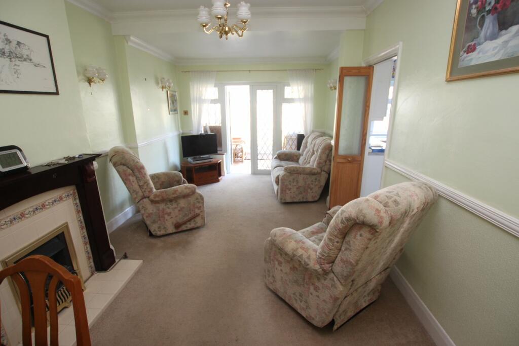
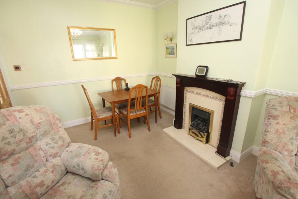
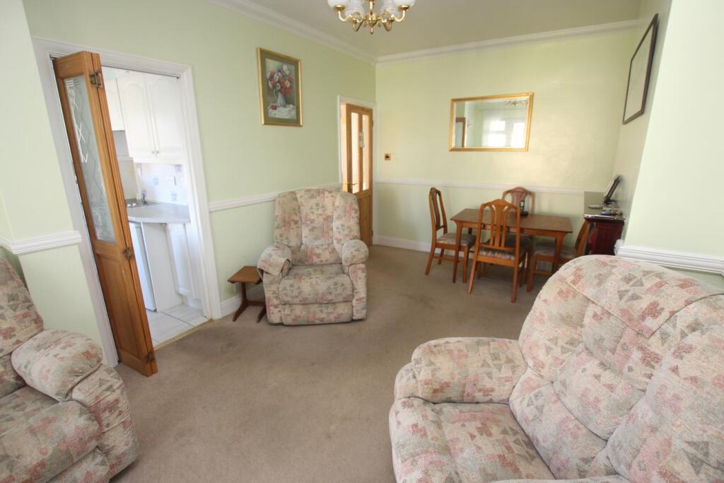
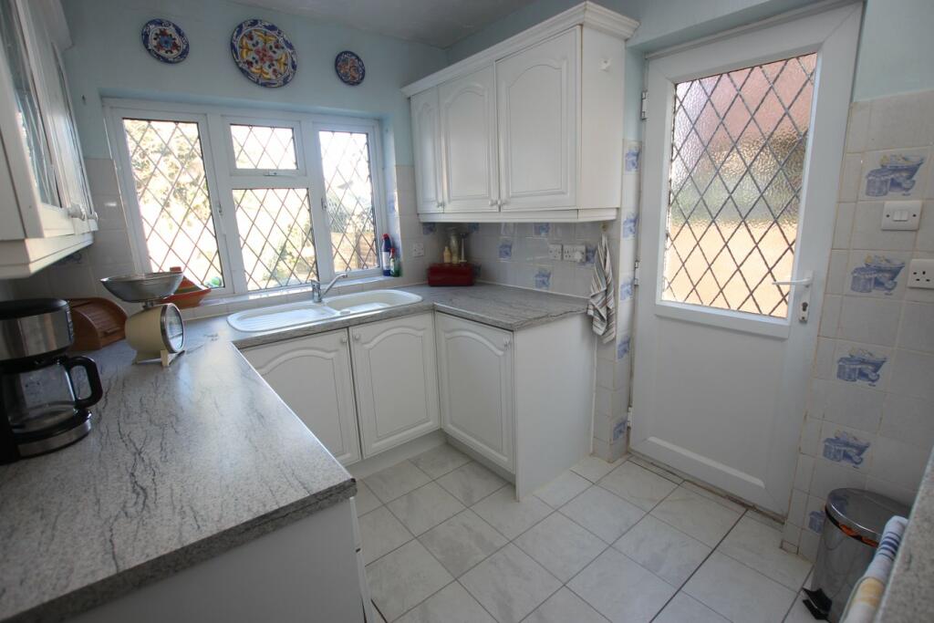
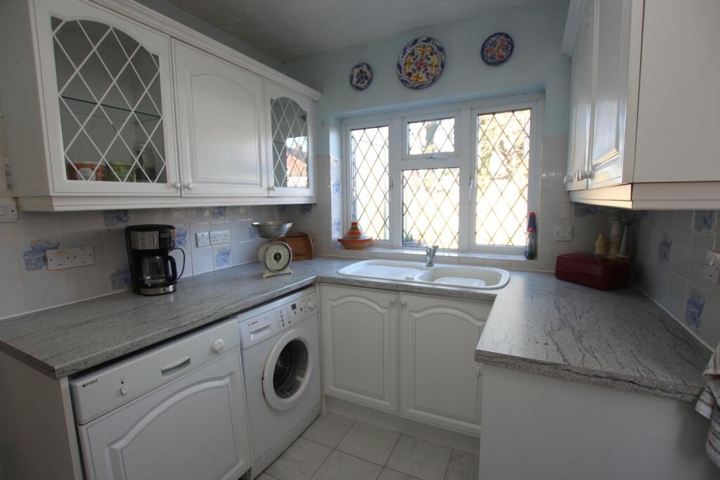
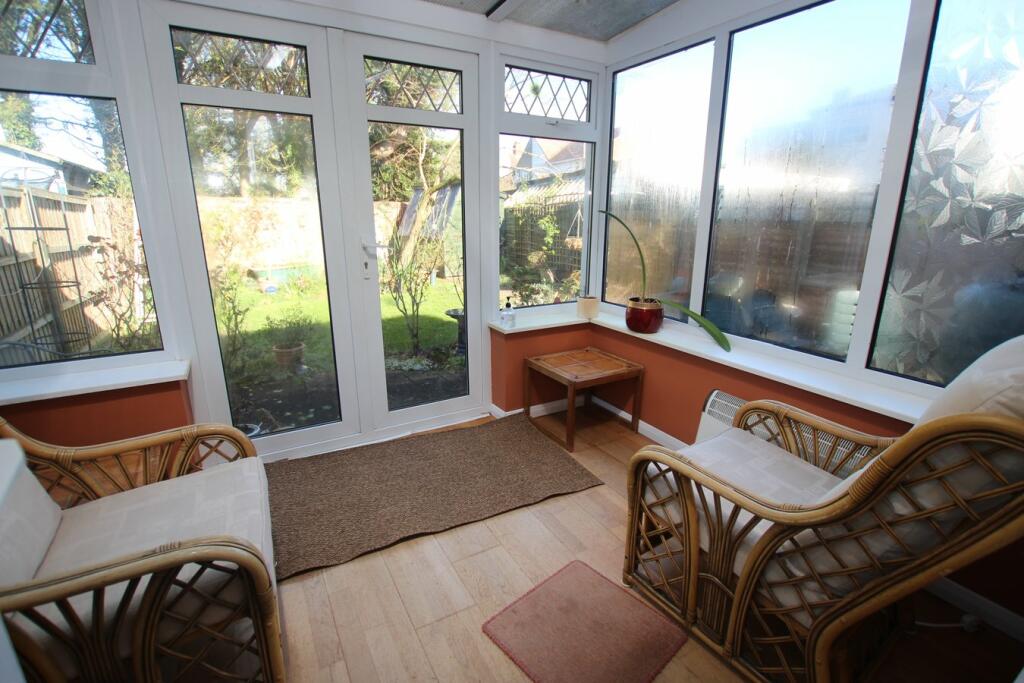
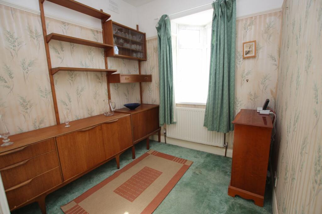
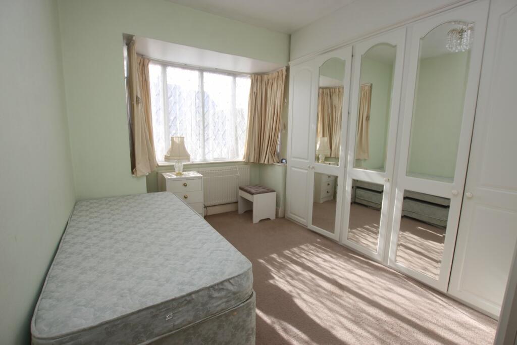
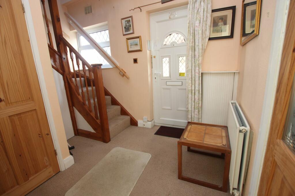
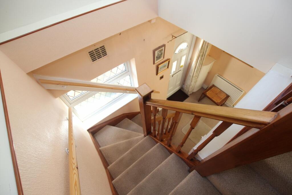
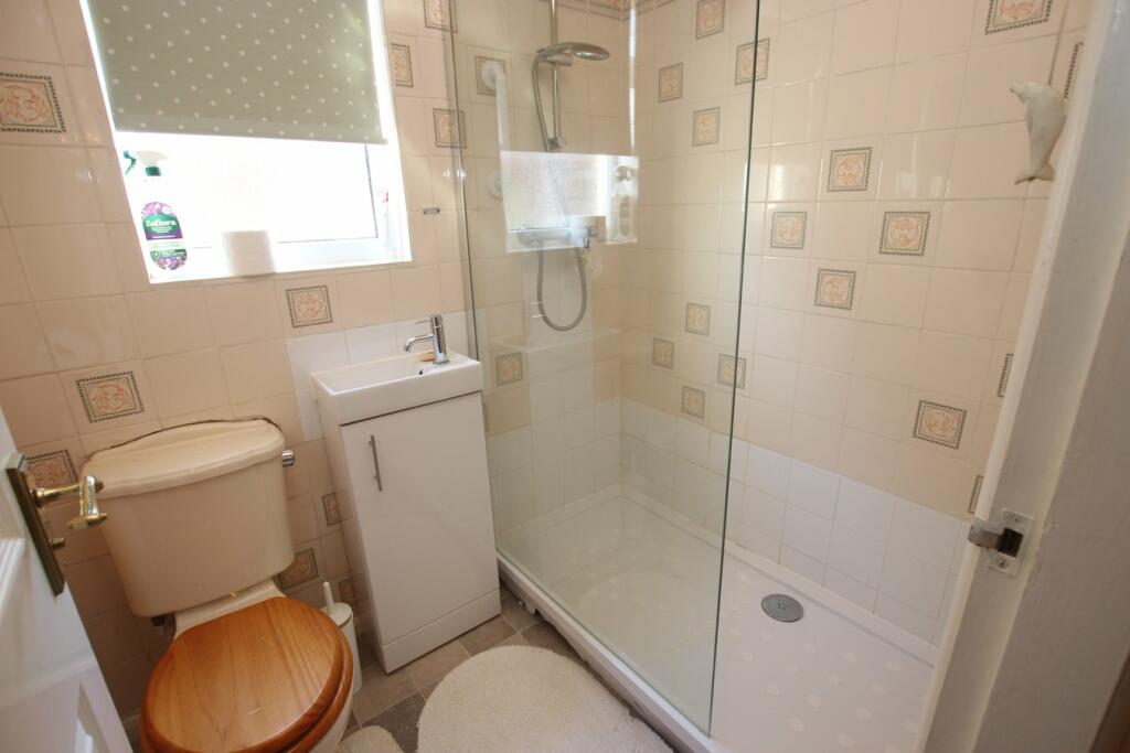
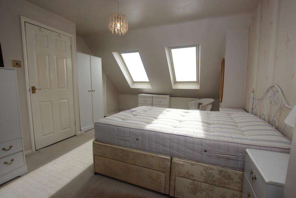
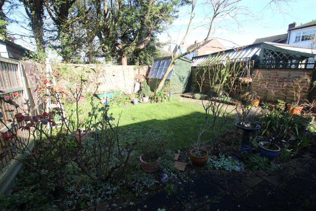
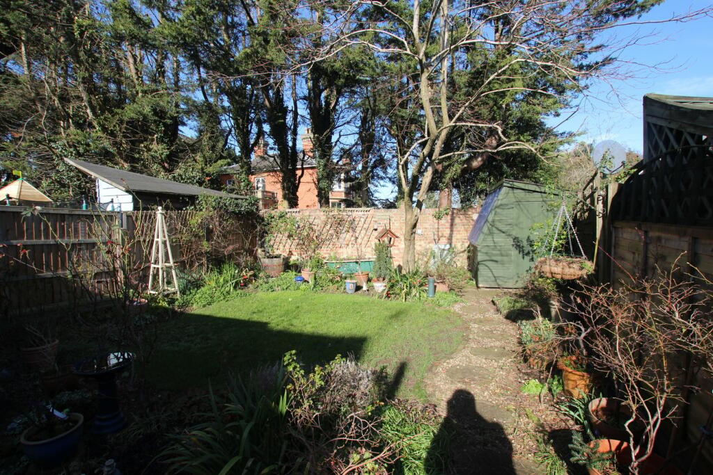
Photo 1 Photo 2 Photo 3 Photo 4 Photo 5 Photo 6 Photo 7 Photo 8 Photo 9 Photo 10 Photo 11 Photo 12 Photo 13 Photo 14 Photo 15
/ 15
Property details
Tenure
FREEHOLD
Floor area
202 m²
Council tax band
C
EPC rating
B
Last sold
£105,000 Jun 2001
Price per m²
£1,708/m²
Local average
£363,082 (-5%)
Deprivation
Decile 8 (26,838 of 33,755)
Street crime
43 incidents within 1 mile (Mar 2026)
Key features
- SEMI-DETATCHED CHALET-BUNGALOW
- NO CHAIN
- TWO BEDROOMS & STUDY/BED 3
- SPACIOUS LIVING/DINING ROOM
- KITCHEN & CONSERVATORY
- CLOAKROOM & SHOWER ROOM
- MATURE/PRIVATE REAR GARDEN
- OFF ROAD PARKING VIA DRIVEWAY
- EASY WALKING DISTANCE TO LOCAL AMENITIES
- A1 MOTORWAY & TRAIN STATION JUST A SHORT DRIVE AWAY
Additional details
- Parking
- Yes
- Garden
- Yes
Description
Listed by
Langford
Lane & Bennetts Ltd
Reference: 145208924
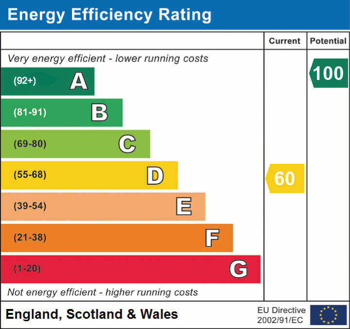
EPC Rating & Upgrade Cost
Current rating: B
Potential rating: B
Inspection date: 14/01/2026
Current heating cost: £750/year
Potential heating cost: £750/year
Est. upgrade cost to C: £9,000
Recommendations
- Solar photovoltaic panels, 2.5 kWp (£8,000 - £10,000)
Flood risk
Zone: 1
Risk: Low
Job (default Low)
Floorplans
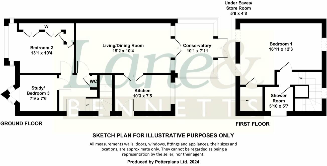
Floorplan 1
EPC Graphs
EPC 1
Price history
95% since 1997
| Event | Date | Price | % change |
|---|---|---|---|
| Sold | 25/06/2001 (24 years ago) | £105,000 | +94.6% |
| Sold | 19/12/1997 (28 years ago) | £53,950 | — |
Source: HM Land Registry Price Paid Data. Crown copyright.
Sold Comparables
Same street and nearby sales within 0.25 miles (last 5 years). Data from Land Registry Price Paid.
| Address | Price | Date | Type |
|---|---|---|---|
| Same street 20 NEWTOWN, HENLOW, CENTRAL BEDFORDSHIRE, SG16 6AJ | £250,000 | 09/05/2025 | Terraced |
| Same street 22 NEWTOWN, HENLOW, CENTRAL BEDFORDSHIRE, SG16 6AJ | £270,000 | 27/03/2025 | Terraced |
| Same street 36 NEWTOWN, HENLOW, CENTRAL BEDFORDSHIRE, SG16 6AJ | £440,000 | 17/05/2024 | Terraced |
| Same street 7 NEWTOWN, HENLOW, CENTRAL BEDFORDSHIRE, SG16 6AJ | £450,000 | 31/10/2023 | Detached |
| Same street 12 NEWTOWN, HENLOW, CENTRAL BEDFORDSHIRE, SG16 6AJ | £1,155,000 | 31/07/2023 | Detached |
| 17 LANGFORD ROAD, HENLOW, CENTRAL BEDFORDSHIRE, SG16 6AF | £385,000 | 30/06/2022 | Semi-detached |
| Same street 21 NEWTOWN, HENLOW, CENTRAL BEDFORDSHIRE, SG16 6AJ | £285,000 | 26/11/2021 | Terraced |
| 15 THE HAWTHORNS, HENLOW, CENTRAL BEDFORDSHIRE, SG16 6BW | £325,000 | 28/10/2021 | Semi-detached |
| Same street 34 NEWTOWN, HENLOW, CENTRAL BEDFORDSHIRE, SG16 6AJ | £445,000 | 21/09/2021 | Semi-detached |
| 113 HIGH STREET, HENLOW, CENTRAL BEDFORDSHIRE, SG16 6AE | £370,000 | 25/08/2021 | Semi-detached |
| Same street 72 NEWTOWN, HENLOW, CENTRAL BEDFORDSHIRE, SG16 6AJ | £252,500 | 07/06/2021 | Terraced |
Street average: £443,438 (8 sales)
Area average: £360,000 (3 sales)
Capital growth trend
Land Registry outcode average: last 12 months vs 5y and 10y ago (from sold prices).
House Price Index (HM Land Registry — official index, not sold-price averages): Central Bedfordshire. Series: Semi-detached. As of February 2026.
Rental Range
Estimated market rent for Central Bedfordshire. Low = conservative, Realistic = average, Optimistic = best case.
Based on Local Authority from postcode lookup → Central Bedfordshire.
LHA (30th percentile) floor for Bedford: £997/mo (Apr 2025 – Mar 2026)
Location
Nearby
Nearest stations, universities and amenities (distance from property).
| Type | Name | Distance |
|---|---|---|
| Shop | Capellis | 0.1 miles |
| Shop | Henlow Village Stores | 0.6 miles |
| Bus stop | Stagecoach | 0.6 miles |
| Bus stop | 9A | 0.6 miles |
| Train station | Arlesey | 1.2 miles |
| Train station | Biggleswade | 3.5 miles |
| Hospital | Biggleswade Hospital | 4.6 miles |
| University | University of Bedfordshire | 5.5 miles |
| Hospital | Courtenay House Surgery | 6.0 miles |
| University | University of Bedfordshire : Putteridge Bury Campus | 9.5 miles |
Street-level crime
| Category | Count |
|---|---|
| Vehicle crime | 22 |
| Violence and sexual offences | 6 |
| Anti-social behaviour | 5 |
| Burglary | 3 |
| Criminal damage and arson | 3 |
| Other theft | 2 |
| Drugs | 1 |
| Possession of weapons | 1 |
| Total incidents | 43 |
Within 1 mile during Mar 2026. Source: data.police.uk (England & Wales).
Schools nearby
Nearest open schools with Ofsted ratings (England). Closed schools are not shown. Data from Get Information about Schools and Ofsted.
| Name | Type | Distance | Ofsted |
|---|---|---|---|
| Raynsford Church of England Academy | Primary | 0.4 miles | Good — 23 Feb 2015 |
| Henlow Church of England Academy | Secondary | 0.4 miles | Good — 27 Oct 2019 |
| Clifton All Saints Academy | Primary | 0.6 miles | Good — 1 Feb 2023 |
| Samuel Whitbread Academy | Secondary | 1.3 miles | Good — 11 Dec 2017 |
| Langford Village Academy | Primary | 1.7 miles | Good — 11 Jun 2024 |
Rental Comparables
Rental listings exist nearby, but none matched the 3-bedroom estimate from EPC for this property.
Rent-driven metrics
Based on Area rent estimate.
- Rent ratio — Monthly rent ÷ purchase price (1% rule). 1%+ = strong, 0.8–1% = okay, <0.8% = weak for cashflow.
- Max investor price — Rent ÷ 0.8%; the price at which rent would be 0.8% of price (Stoke-style target).
- Target investor price — Rent ÷ 1%; the price at which rent would be 1% of price (strong cashflow band).
- Gross yield — Annual rent as % of purchase price (no costs).