42 WILLOW TREE FIELDS
BRISTOL, NAILSEA, NORTH SOMERSET BS48 4PS
£1,375 pcm
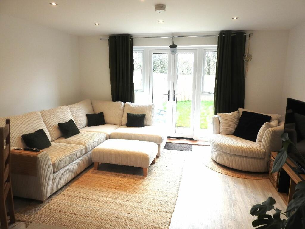
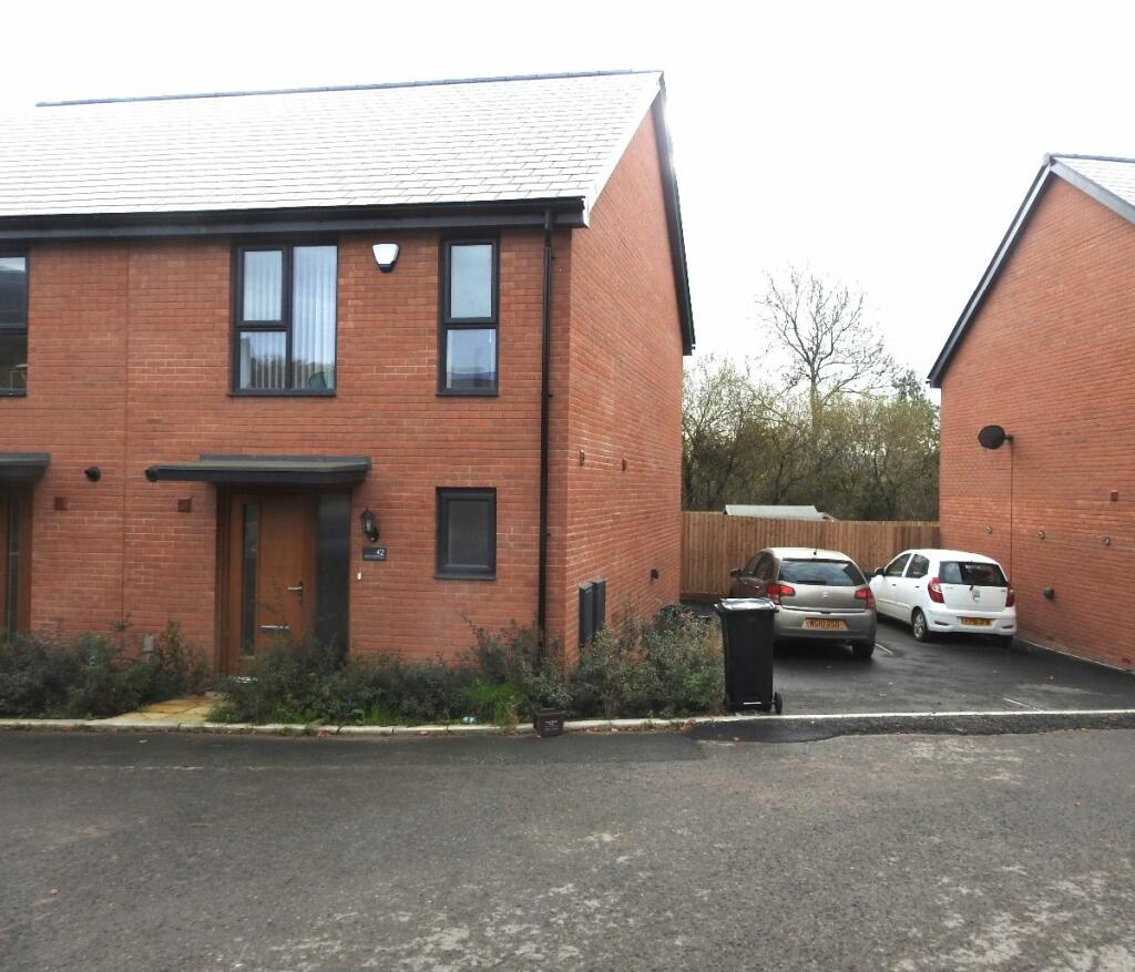
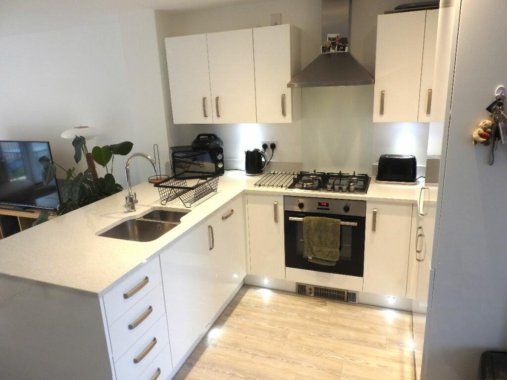
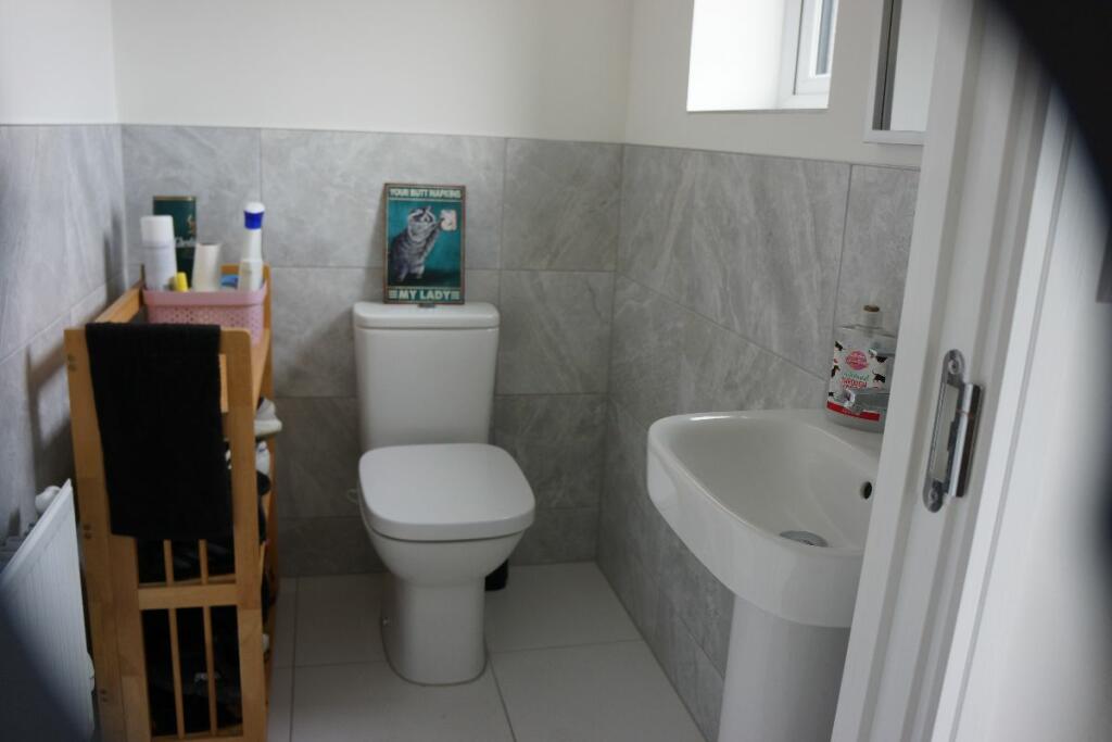
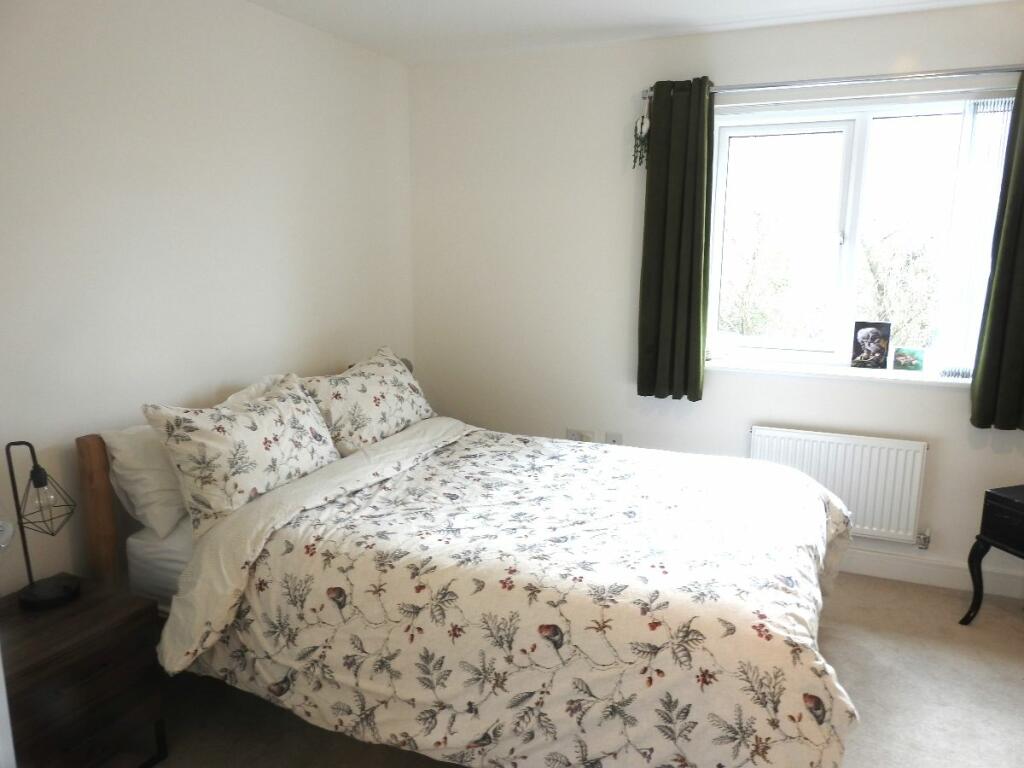
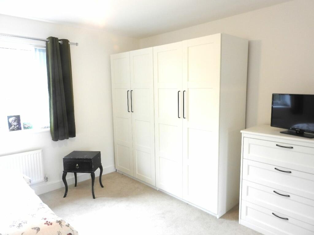
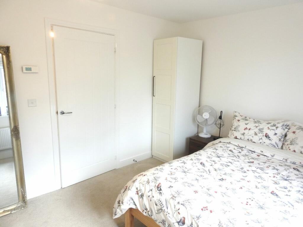
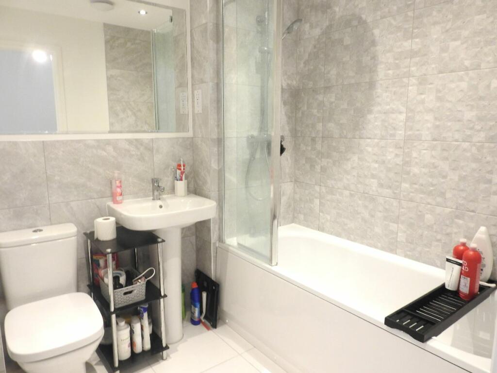
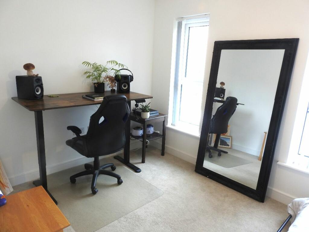
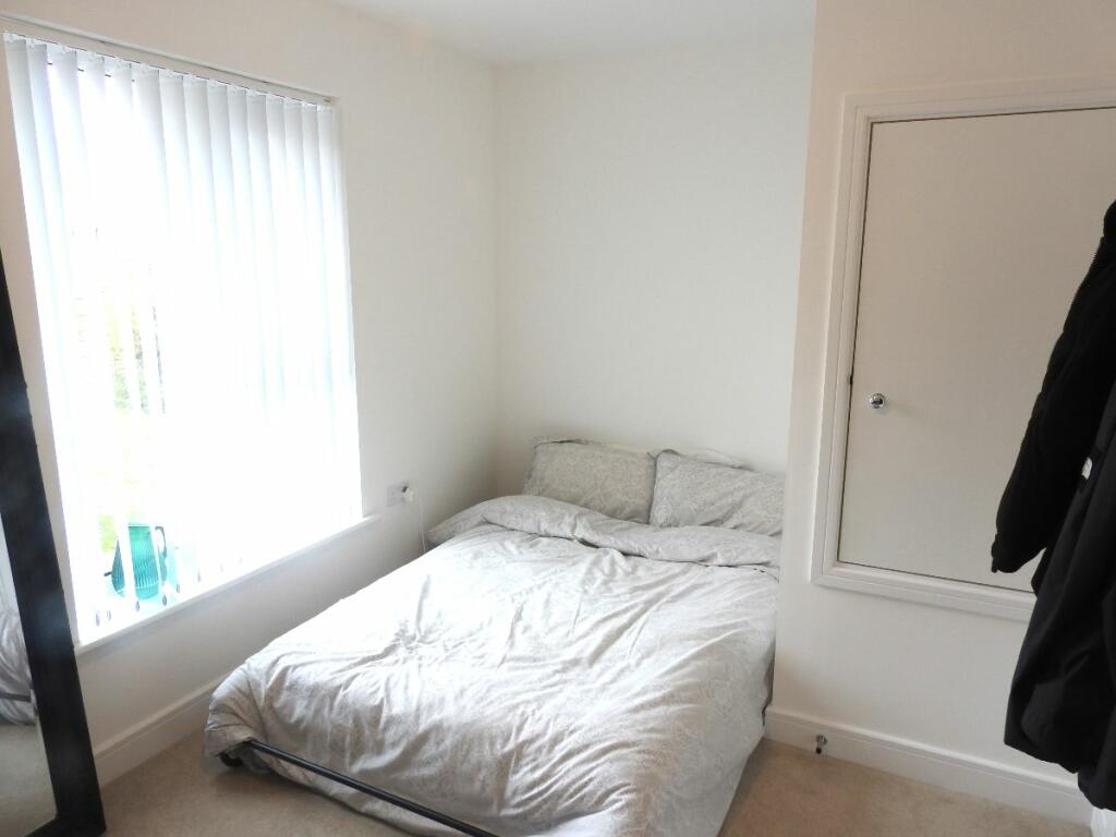
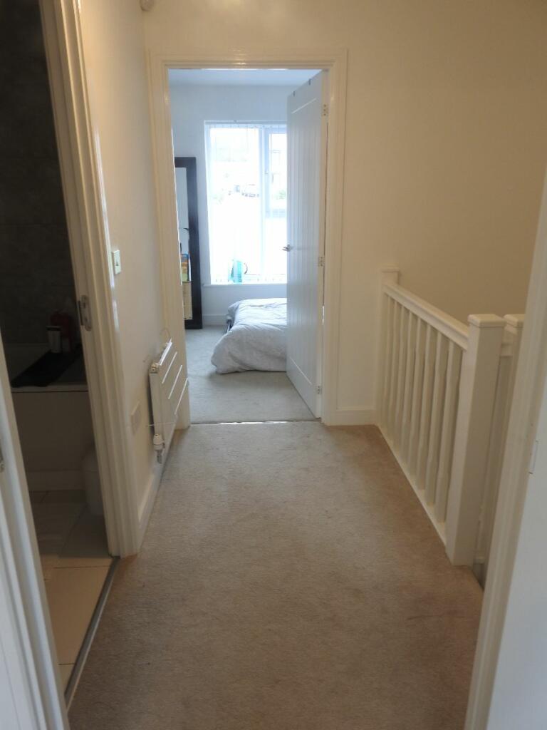
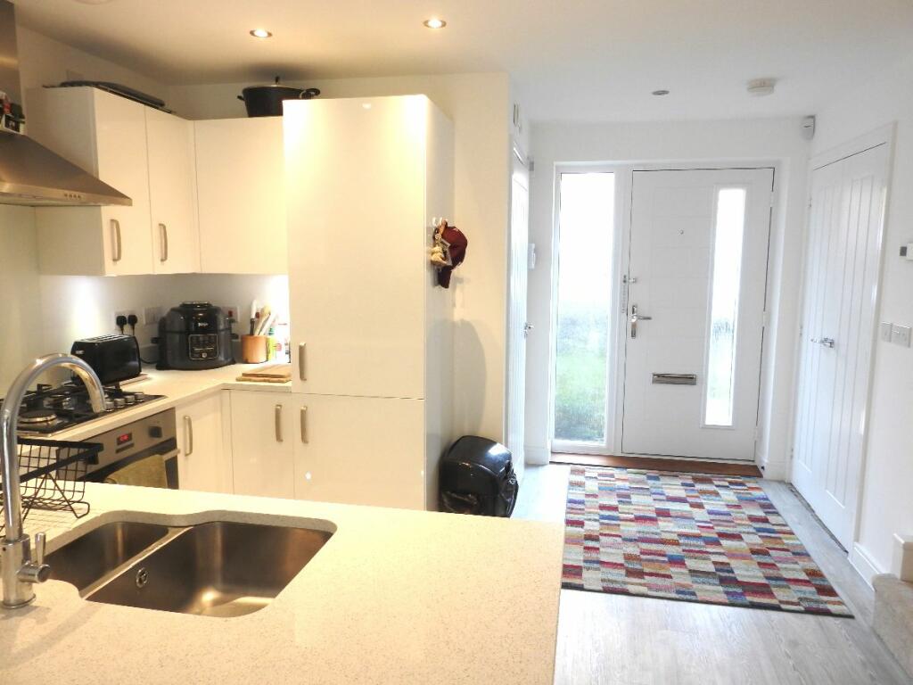
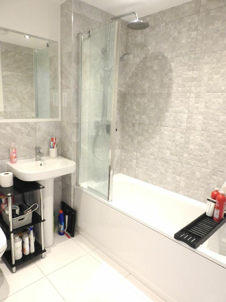
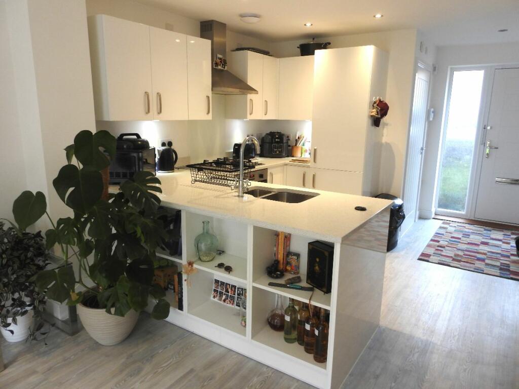
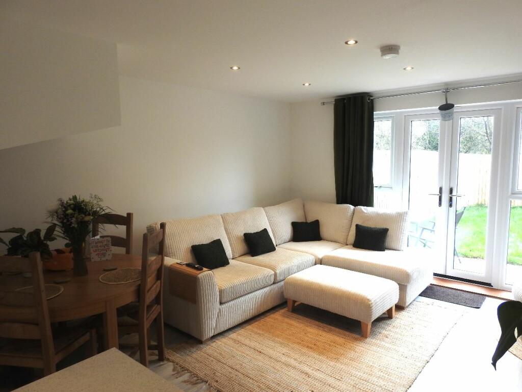
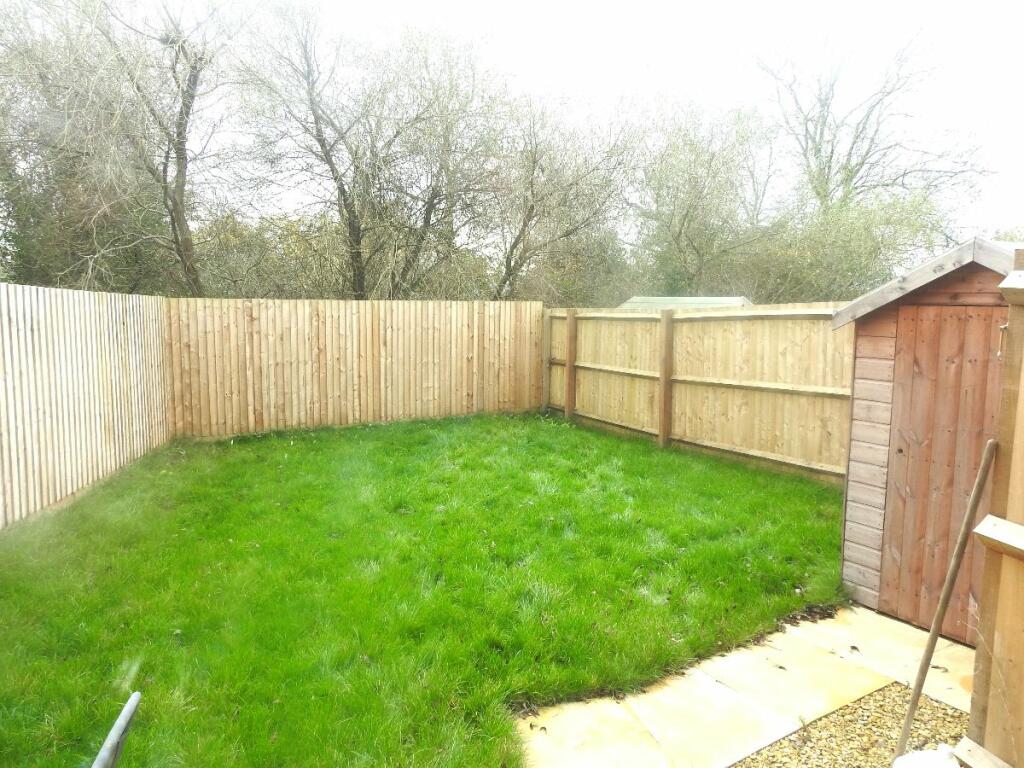
Photo 1 Photo 2 Photo 3 Photo 4 Photo 5 Photo 6 Photo 7 Photo 8 Photo 9 Photo 10 Photo 11 Photo 12 Photo 13 Photo 14 Photo 15 Photo 16 Photo 17
/ 17
Property details
Floor area
70 m²
Council tax band
B
EPC rating
B
Street crime
30 incidents within 1 mile (Apr 2026)
Key features
- 2 Double Bedrooms
- Allocated parking
- Car parking space
- Enclosed private garden
- Fitted Bathroom
- Fitted Kitchen
- Integrated Appliances
- living room with dining area
- shed
- unfurnished
Additional details
- Parking
- Yes
- Garden
- Yes
Description
Upstairs there are two double bedrooms and a high standard bathroom with shower over the bath. Available NOW on an unfurnished basis for £1375.00 pcm with a 5 week deposit of £1586 which includes 1 week holding fee £317.00. EPC band B/Council tax band B.
VIEWINGS HIGHLY RECOMMENDED.
Council Tax Band: B (North Somerset Council)
Holding Deposit: £317
Listed by
Bristol
Bespoke Lettings and Management Ltd
Reference: 154997510
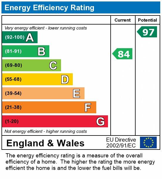
EPC Rating & Upgrade Cost
Current rating: B
Potential rating: A
Inspection date: 11/08/2023
Expiry date: 10/08/2033
Current heating cost: £349/year
Potential heating cost: £349/year
Est. upgrade cost to C: £9,500
Recommendations
- Solar water heating (£4,000 - £6,000)
- Solar photovoltaic panels, 2.5 kWp (£3,500 - £5,500)
Flood risk
Zone: 1
Risk: Low
Job (default Low)
EPC Graphs

EPC
EPC
Rental Range
Estimated market rent for South West. Low = conservative, Realistic = average, Optimistic = best case.
Based on Postcode area BS → South West.
LHA (30th percentile) floor for Herefordshire: £598/mo (Apr 2025 – Mar 2026)
Location
Nearby
Nearest stations, universities and amenities (distance from property).
| Type | Name | Distance |
|---|---|---|
| Bus stop | St Marys Grove | 0.2 miles |
| Shop | Walnut Garage | 0.9 miles |
| Train station | Nailsea and Backwell | 1.1 miles |
| Shop | Hidden Beauty | 1.1 miles |
| Train station | Yatton | 3.1 miles |
| University | University of Bristol | 3.9 miles |
| University | University of Bristol Langford Campus | 5.2 miles |
| Hospital | Spire Bristol | 7.8 miles |
| Hospital | South West Regional Laboratories | 8.0 miles |
Street-level crime
| Category | Count |
|---|---|
| Violence and sexual offences | 13 |
| Anti-social behaviour | 4 |
| Criminal damage and arson | 4 |
| Public order | 3 |
| Robbery | 2 |
| Burglary | 1 |
| Drugs | 1 |
| Other crime | 1 |
| Other theft | 1 |
| Total incidents | 30 |
Within 1 mile during Apr 2026. Source: data.police.uk (England & Wales).
Schools nearby
Nearest open schools with Ofsted ratings (England). Closed schools are not shown. Data from Get Information about Schools and Ofsted.
| Name | Type | Distance | Ofsted |
|---|---|---|---|
| Grove Junior School | Primary | 0.4 miles | Good — 21 May 2014 |
| Hannah More Infant School | Primary | 0.5 miles | Good — 15 Oct 2014 |
| Nailsea School | Secondary | 1.0 miles | Good — 6 May 2024 |
| St Francis Catholic Primary School | Primary | 1.1 miles | — (Inspected (no overall grade)) |
| West Leigh Infant School | Primary | 1.2 miles | Good — 29 Nov 2022 |
Rental Comparables
Rental listings exist nearby, but none matched the 2-bedroom count for this property.