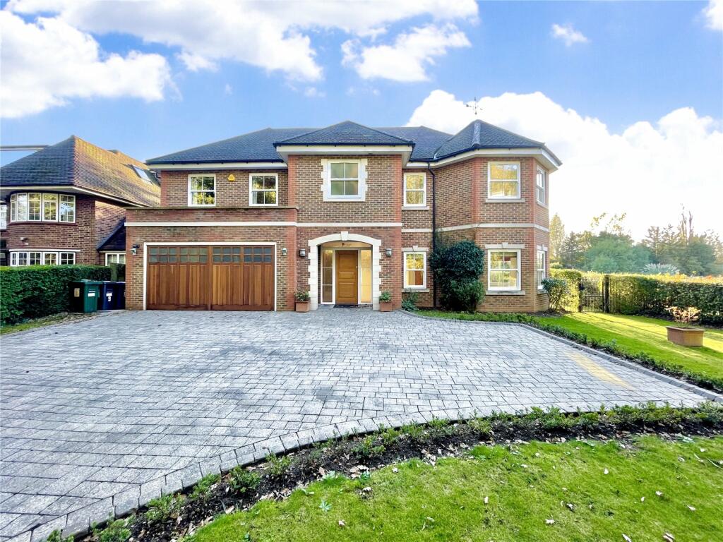
9 ARKLEY LANE
BARNET, GREATER LONDON EN5 3JR
£7,250 pcm

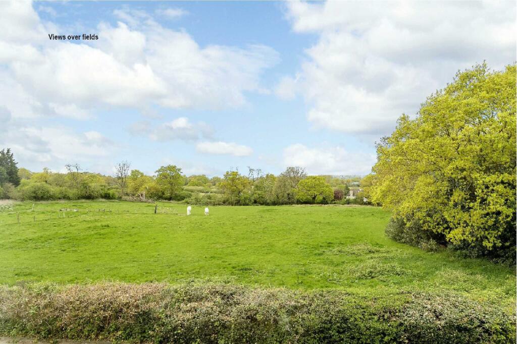
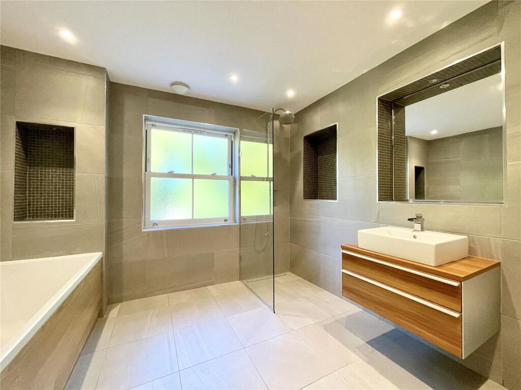
Picture No. 32 Picture No. 20 Picture No. 19 Picture No. 21 Picture No. 22 Picture No. 23 Picture No. 24 Picture No. 31 Picture No. 18 Picture No. 25 Picture No. 30 Picture No. 33 Picture No. 36 Picture No. 37 Picture No. 38 Photo Picture No. 39 Picture No. 29 Picture No. 28 Photo Photo Photo Picture No. 34
/ 23
Property details
Floor area
381 m²
Council tax band
H
Deprivation
Decile 9 (30,230 of 33,755)
Street crime
76 incidents within 1 mile (Apr 2026)
Key features
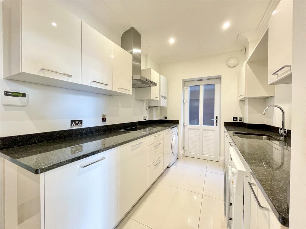
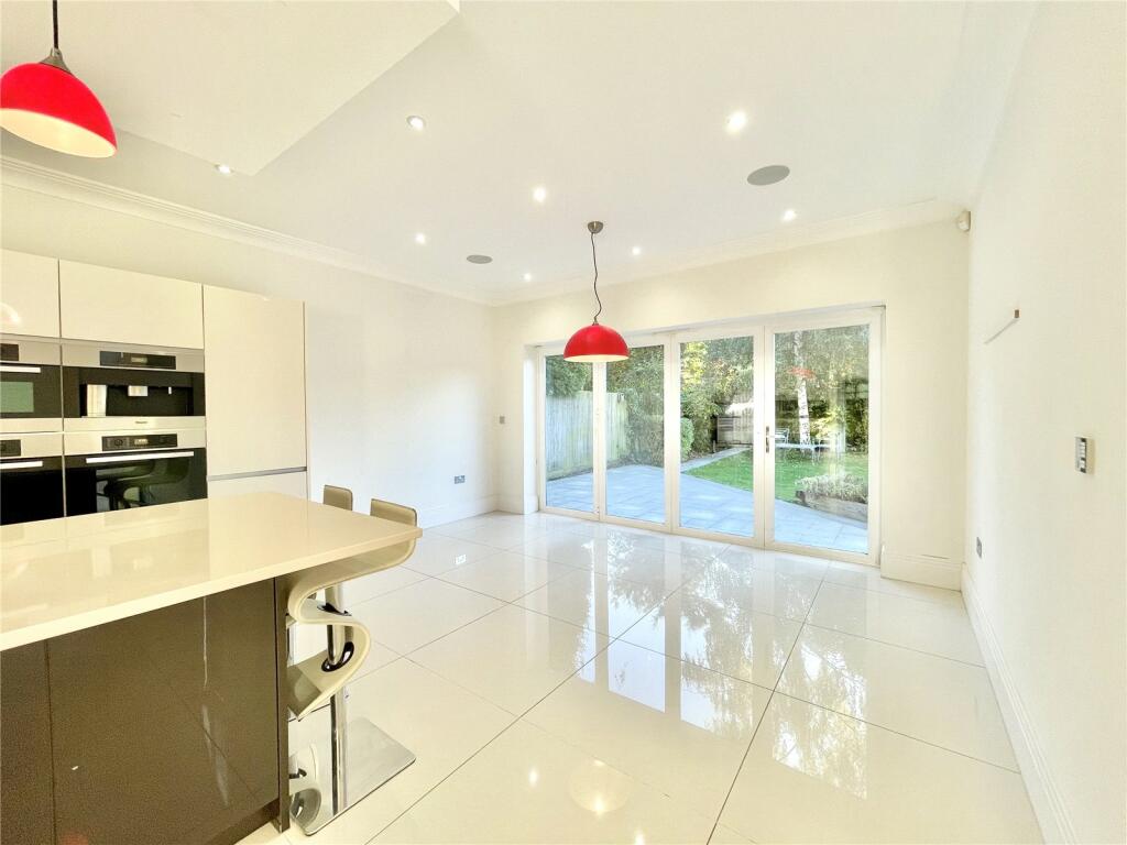
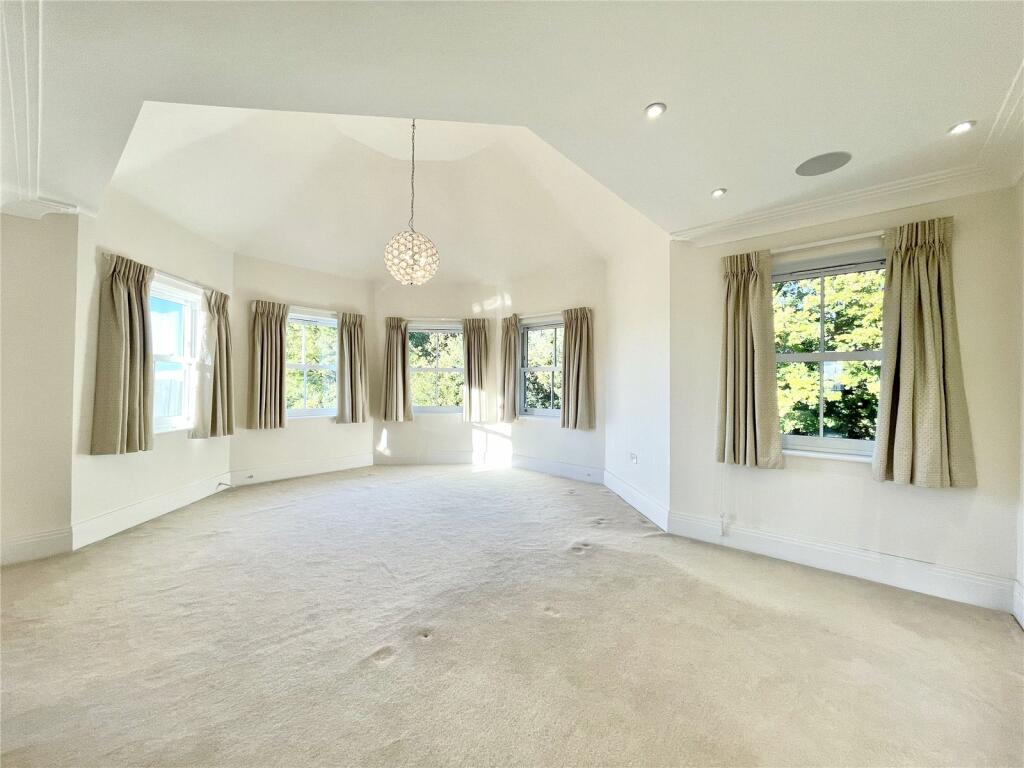
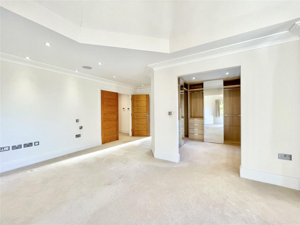
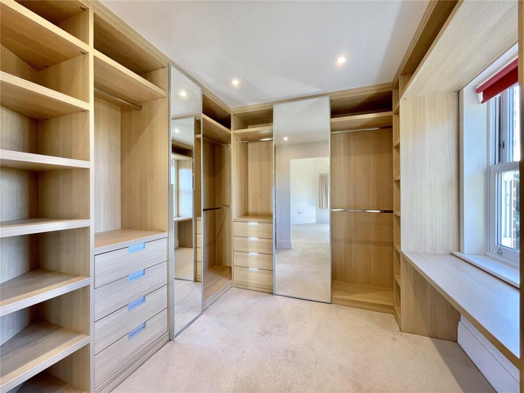
- 5 Bedrooms
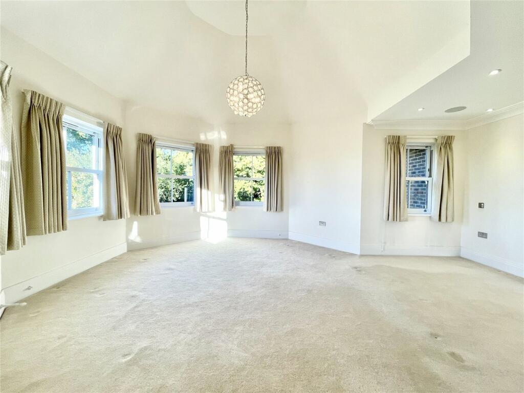
- 4 Receptions
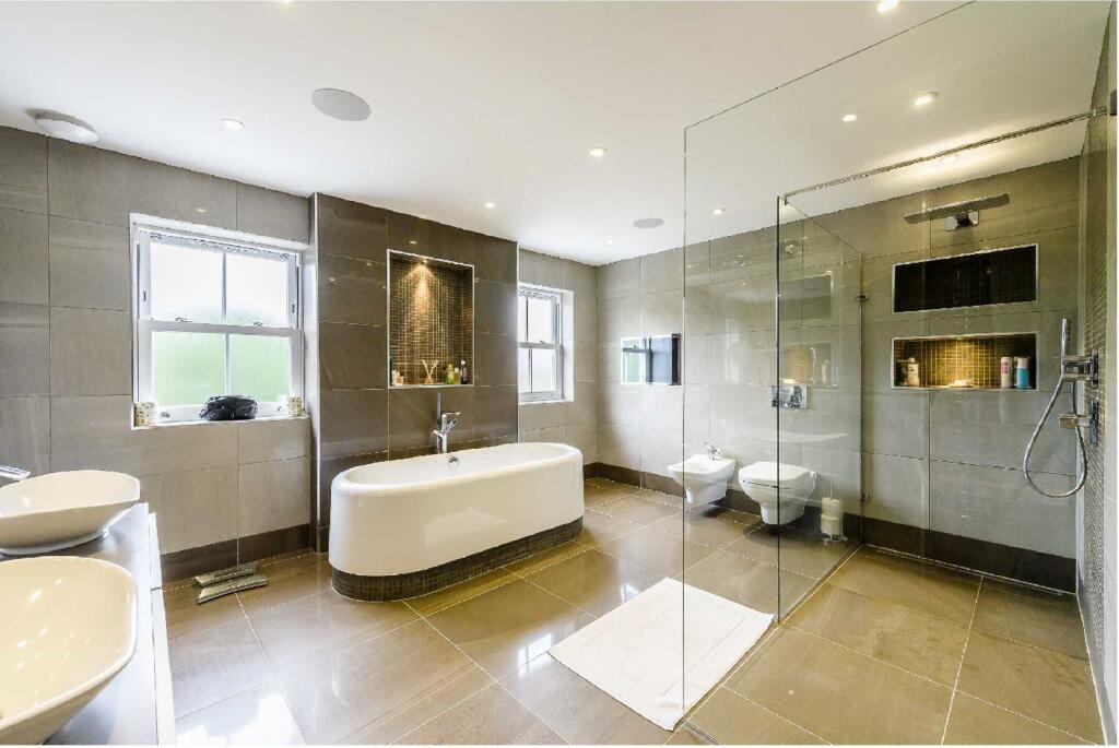
- 4 Bathrooms
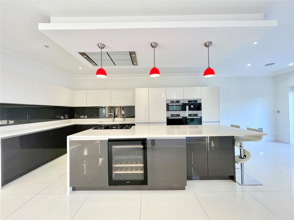
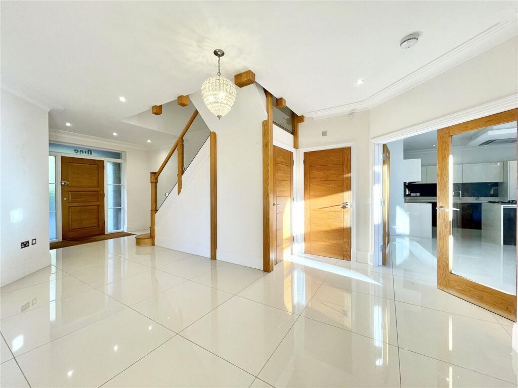
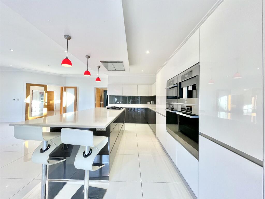
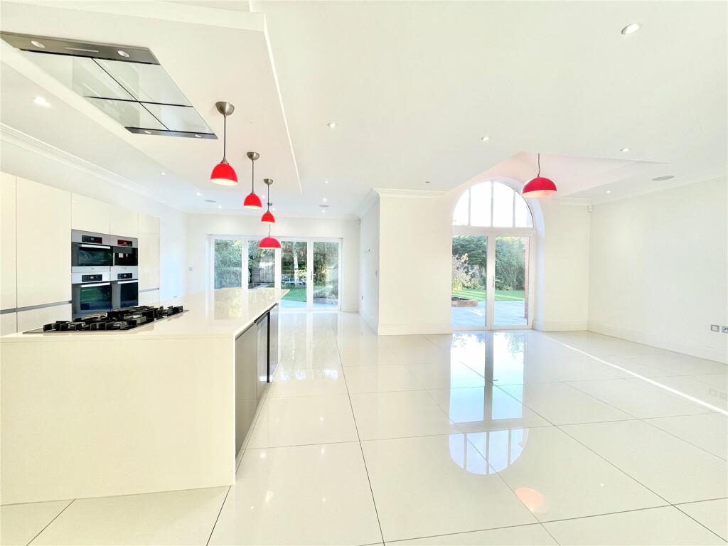
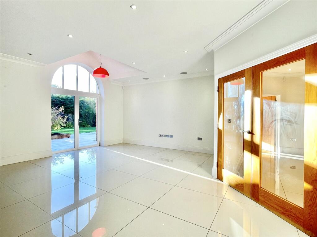
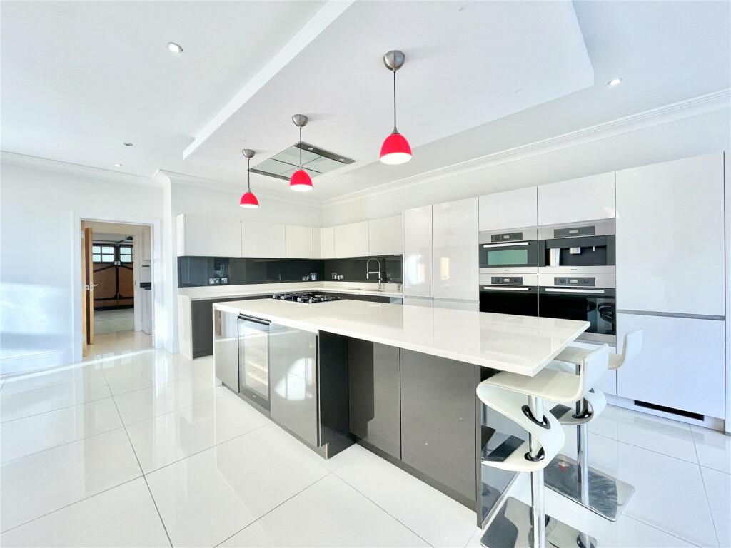
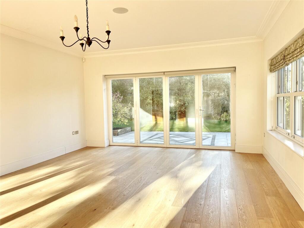
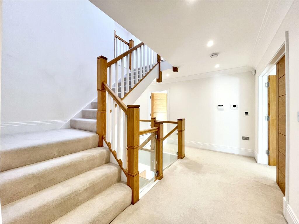
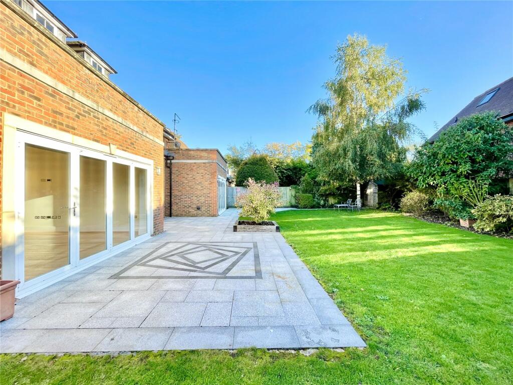
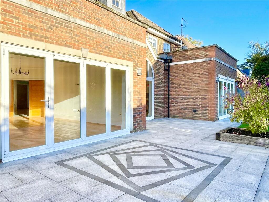
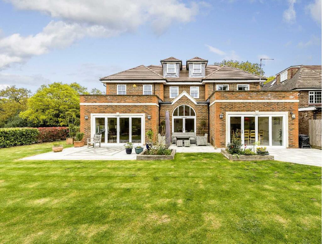
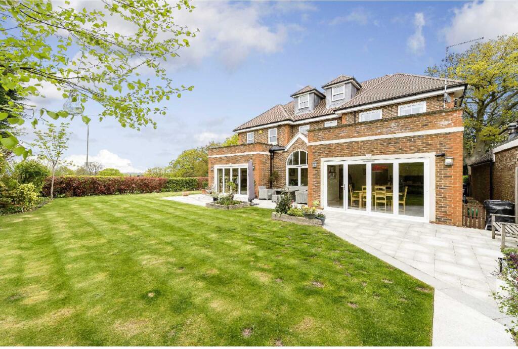
Description
VIDEO TOUR AVAILABLE...
Council Tax Band H
London Borough of Barnet
Listed by
Barnet - Lettings
Statons
Reference: 153556601
Flood risk
Zone: 1
Risk: Low
Job (default Low)
Floorplans

Floorplan
EPC Graphs
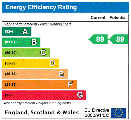
EPC Rating Graph
FENSA Certificates
This property has 1 FENSA certificate(s) on record, indicating window/door installations by FENSA-approved installers.
FENSA Certificate #9230121
Property Details
Street: 9 Arkley Lane
Town: BARNET
Postcode: EN5 3JR
Installation Details
Items: 27 windows and 4 doors
Certificate Issued: 04/12/2012
Work Completed: 15/10/2012
This certificate data was retrieved from FENSA's database
What is FENSA? FENSA (Fenestration Self-Assessment Scheme) is a government-authorised scheme that monitors building regulation compliance for replacement windows and doors. Certificates indicate that work was completed by FENSA-approved installers.
Rental Range
Estimated market rent for Barnet. Low = conservative, Realistic = average, Optimistic = best case.
Based on Local Authority from postcode lookup → Barnet.
LHA (30th percentile) floor for Outer North London: £2,194/mo (Apr 2025 – Mar 2026)
Location
Nearby
Nearest stations, universities and amenities (distance from property).
| Type | Name | Distance |
|---|---|---|
| Bus stop | Quinta Drive | 0.3 miles |
| Shop | Quinta Stores | 0.5 miles |
| Shop | Chesterfield Wines | 0.8 miles |
| Train station | High Barnet | 1.6 miles |
| Train station | Elstree & Borehamwood | 2.1 miles |
| University | Middlesex University | 3.9 miles |
| University | Flood Hazard Research Centre | 3.9 miles |
| Hospital | Priory Hospital | 5.0 miles |
| Hospital | North London Hospice Winchmore Hill | 6.2 miles |
Street-level crime
| Category | Count |
|---|---|
| Violence and sexual offences | 22 |
| Anti-social behaviour | 17 |
| Other theft | 10 |
| Vehicle crime | 8 |
| Burglary | 4 |
| Criminal damage and arson | 4 |
| Public order | 4 |
| Drugs | 3 |
| Other crime | 2 |
| Bicycle theft | 1 |
| Robbery | 1 |
| Total incidents | 76 |
Within 1 mile during Apr 2026. Source: data.police.uk (England & Wales).
Schools nearby
Nearest open schools with Ofsted ratings (England). Closed schools are not shown. Data from Get Information about Schools and Ofsted.
| Name | Type | Distance | Ofsted |
|---|---|---|---|
| Whitings Hill Primary School | Primary | 0.7 miles | Outstanding — 24 Jan 2024 |
| Queen Elizabeth's School, Barnet | Secondary | 0.8 miles | Outstanding — 5 Jul 2022 |
| Christ Church Primary School | Primary | 0.9 miles | Good — 27 Nov 2022 |
| Foulds School | Primary | 0.9 miles | Good — 5 Feb 2019 |
| Saffron Green Primary School | Primary | 1.0 miles | Requires improvement — 18 May 2023 |
Rental Comparables
Rental comparables are temporarily unavailable while listing-site fetches are paused. Try again later.