46 MAES DERWYDD
LLANGEFNI, ISLE OF ANGLESEY LL77 7GA
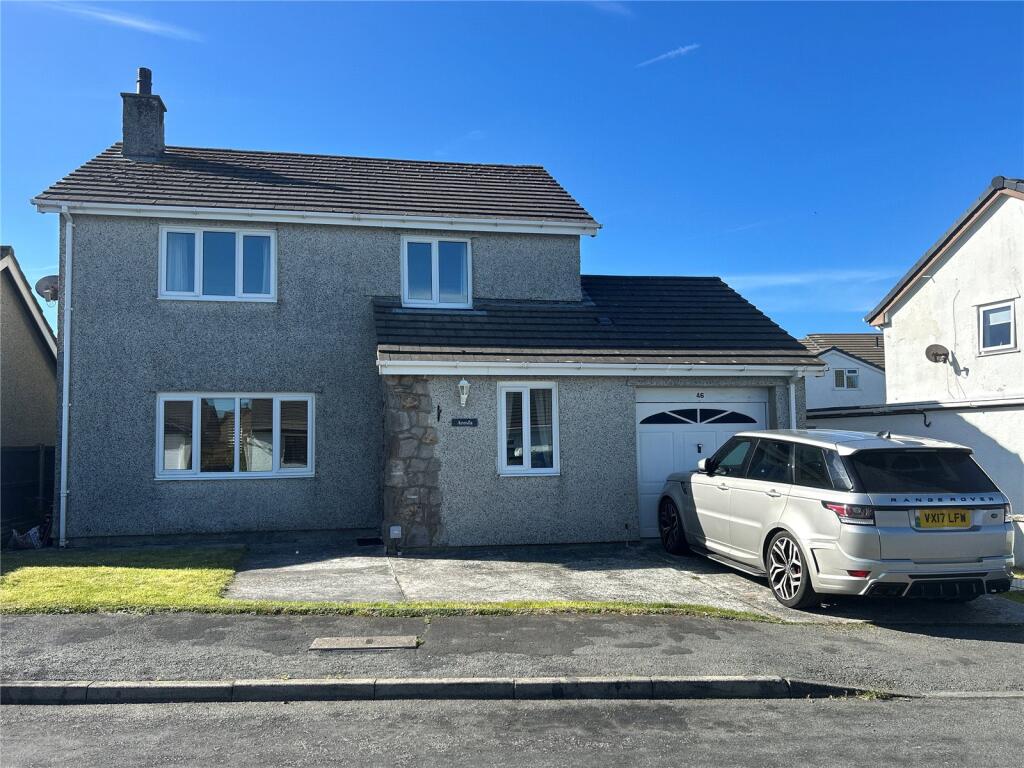
Property details
Tenure
FREEHOLD
Floor area
106 m²
Council tax band
F
EPC rating
D
Year built
England and Wales: 1983-1990
Last sold
£260,000 Dec 2025
Price per m²
£2,500/m²
Local average
£317,136 (-16.4%)
Street crime
31 incidents within 1 mile (Apr 2026)
Additional details
- Parking
- Yes
- Garden
- Yes
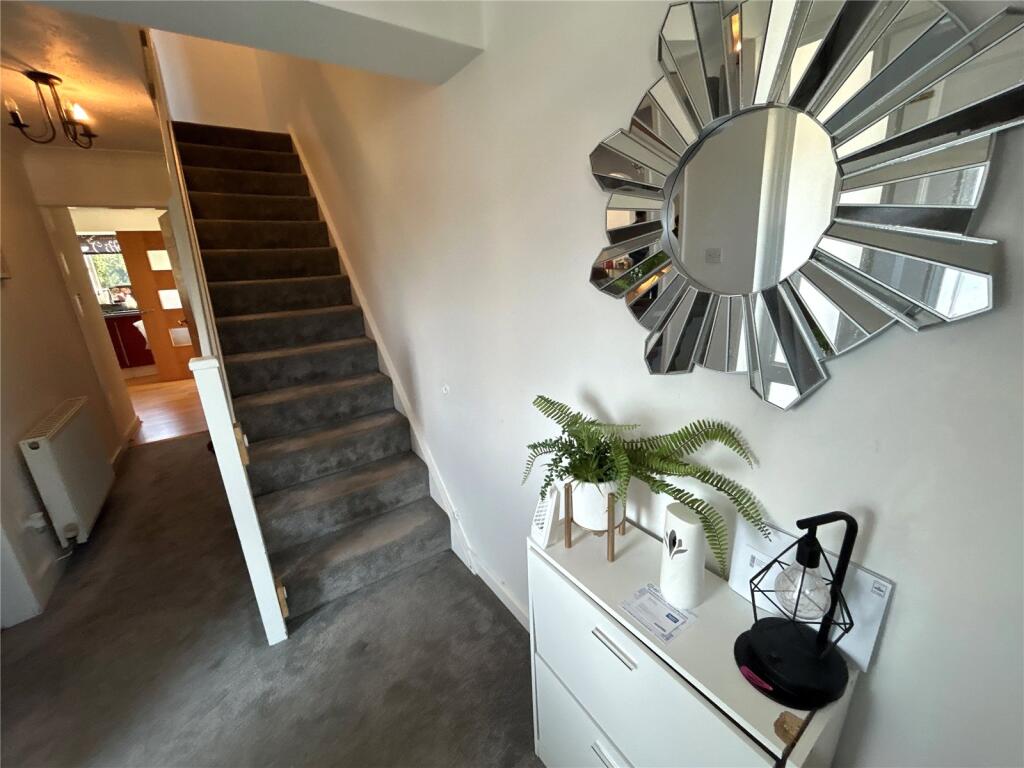
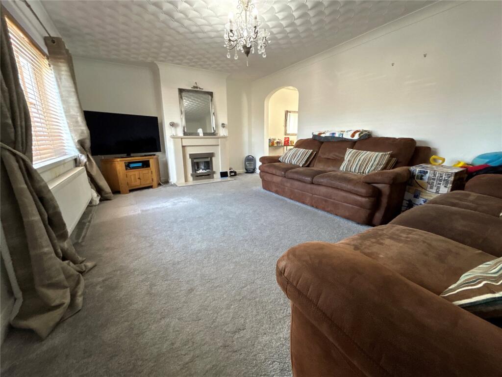
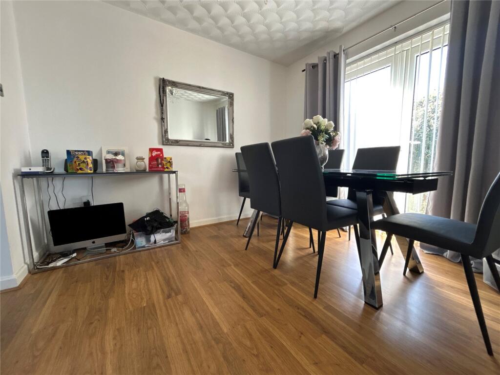
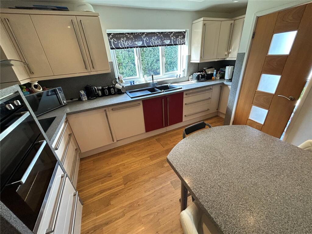
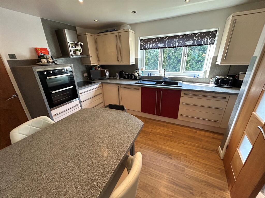
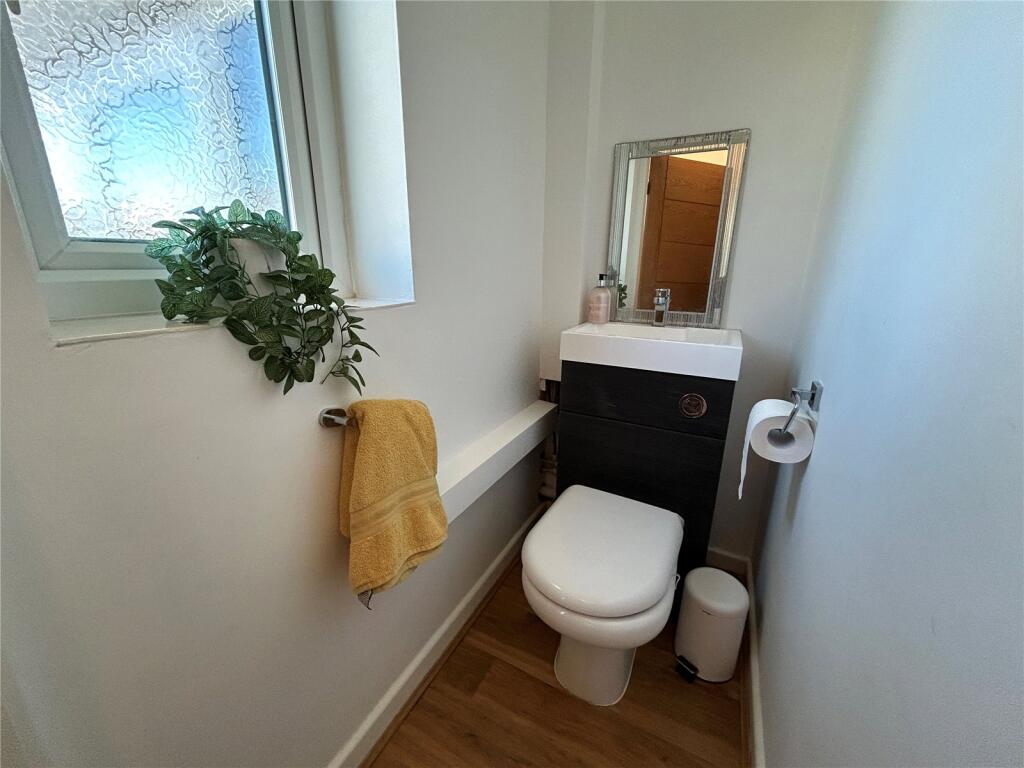
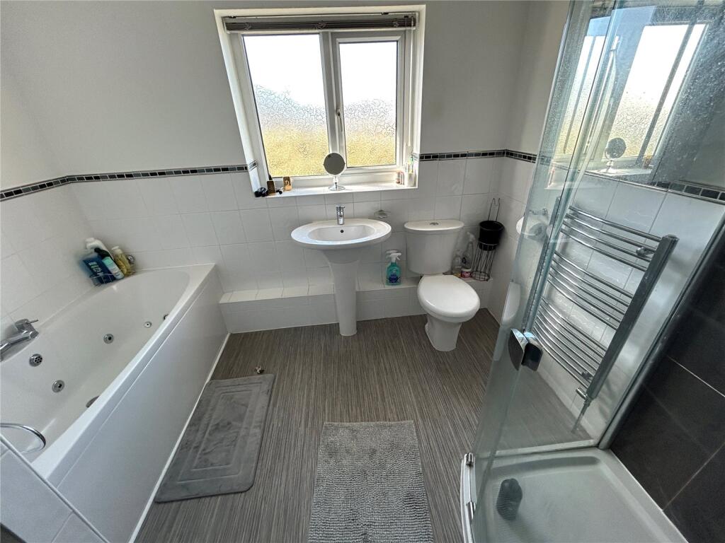
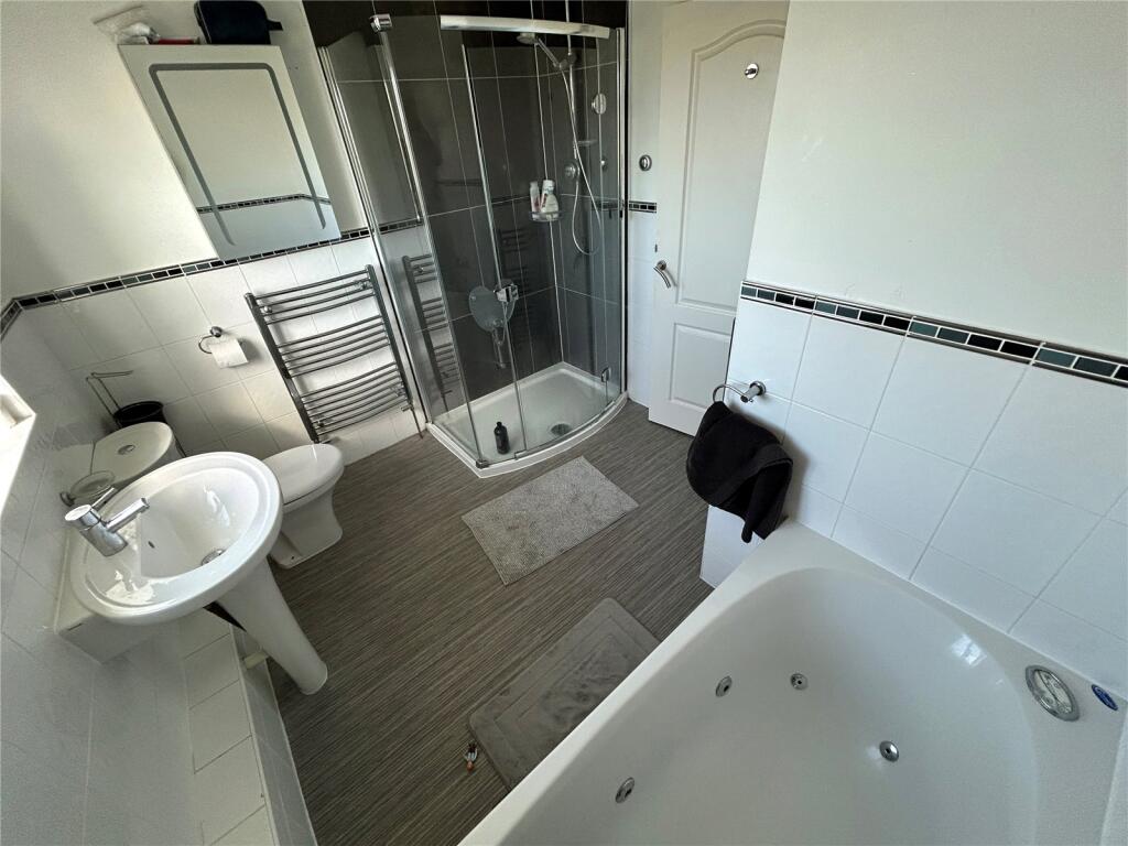
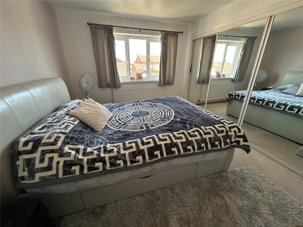
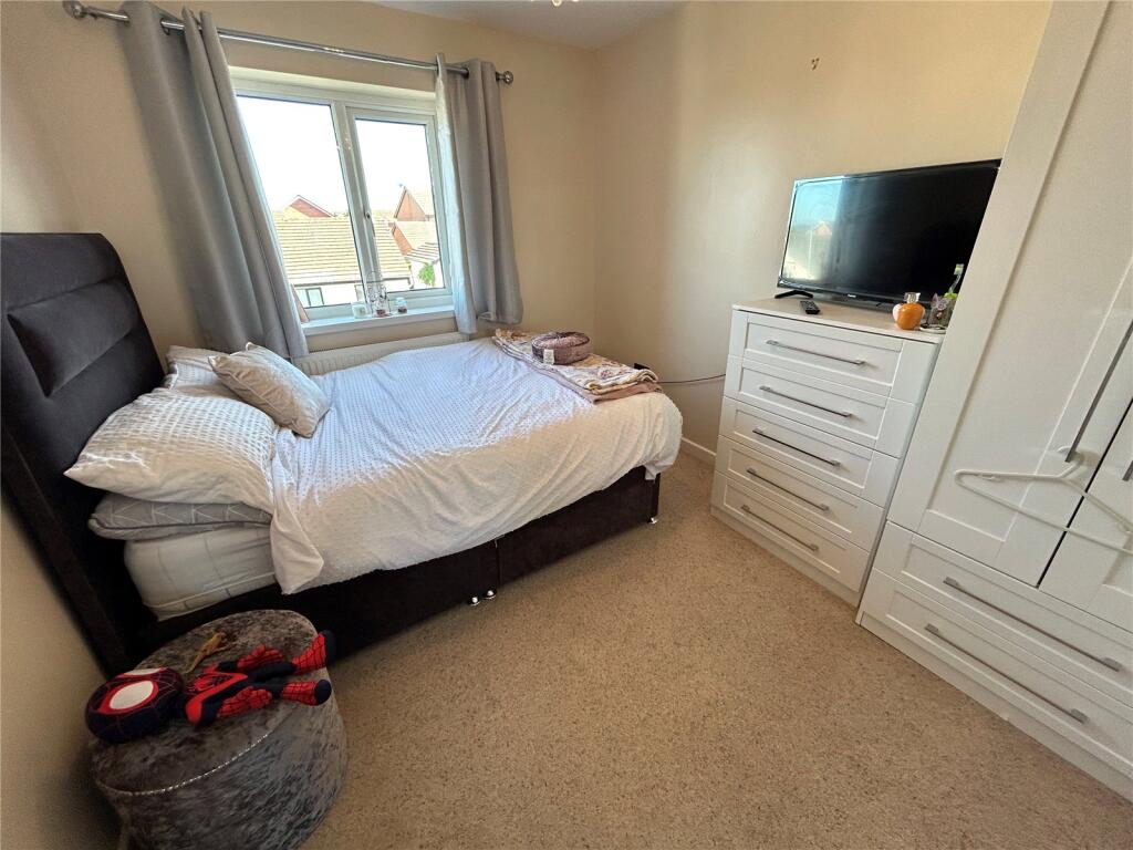
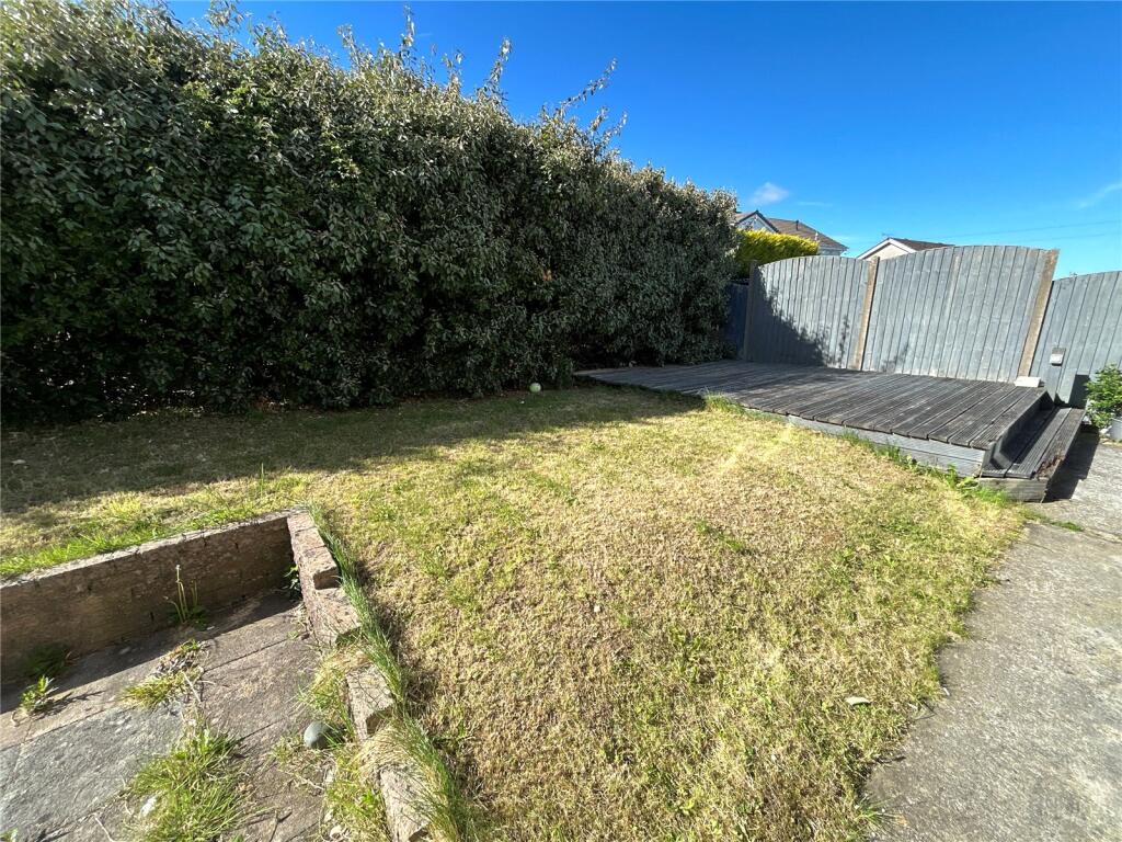
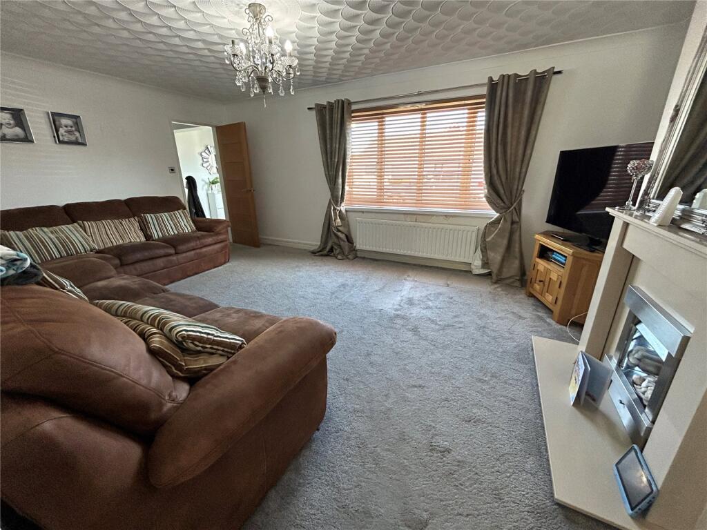
Description
Listed by
Menai Bridge
Countrywide UK Sales - Connells
Reference: 164146664
EPC Rating & Upgrade Cost
Current rating: D
Potential rating: C
Inspection date: 17/06/2025
Expiry date: 16/06/2035
Current heating cost: £1,178/year
Potential heating cost: £988/year
Est. upgrade cost to C: £18,985
Recommendations
- Increase loft insulation to 270 mm (£900 - £1,200)
- Floor insulation (solid floor) (£5,000 - £10,000)
- Upgrade heating controls (£220 - £250)
- Flue gas heat recovery in conjunction with boiler (£900 - £1,500)
- Solar photovoltaic panels, 2.5 kWp (£8,000 - £10,000)
Flood risk
Zone: 1
Risk: Low
Job (default Low)
Floorplans
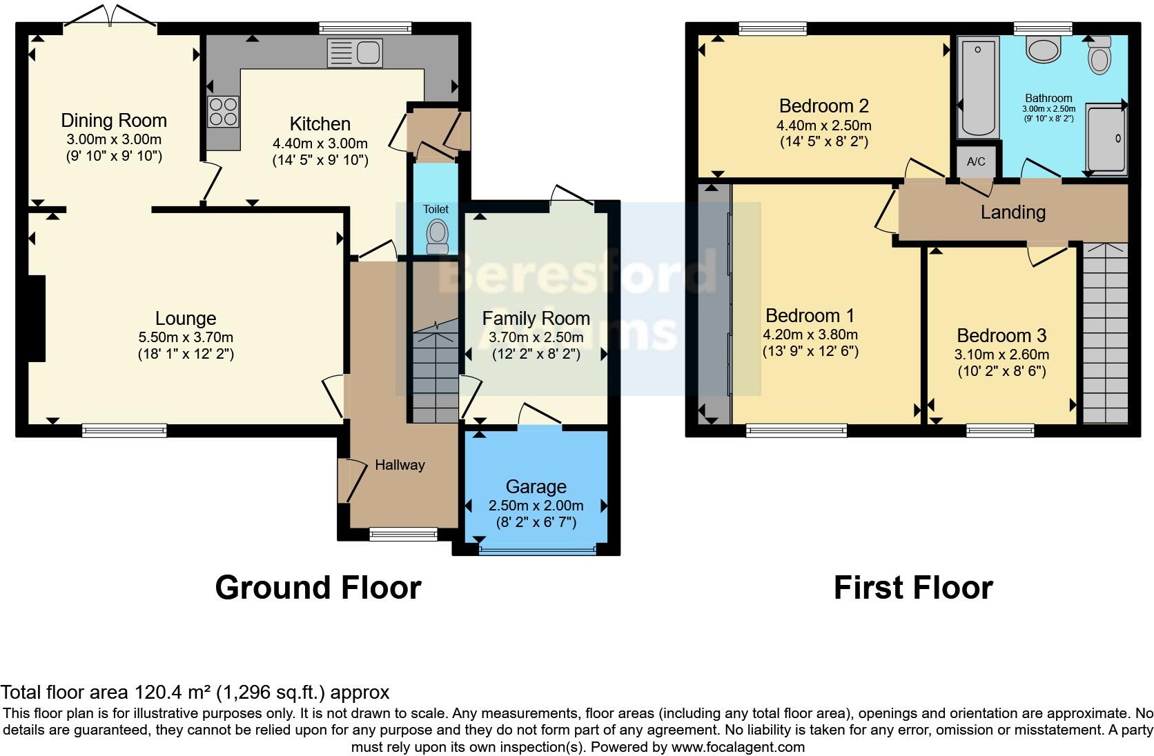
Floorplan
EPC Graphs
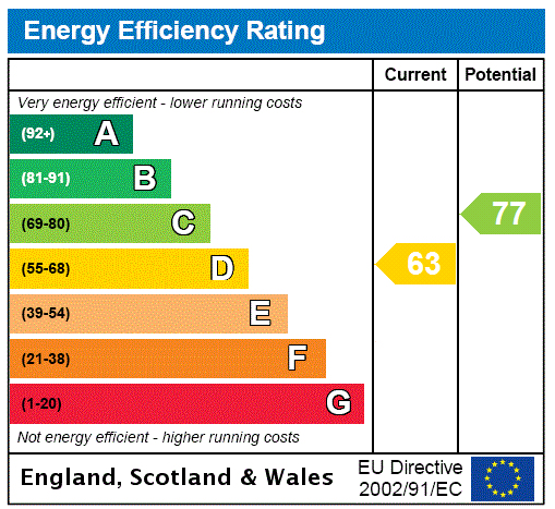
EPC Rating Graph
Price history
| Event | Date | Price | % change |
|---|---|---|---|
| Sold | 03/12/2025 (6 months ago) | £260,000 | — |
Source: HM Land Registry Price Paid Data. Crown copyright.
Sold Comparables
Same street and nearby sales within 0.25 miles (last 5 years). Data from Land Registry Price Paid.
| Address | Price | Date | Type |
|---|---|---|---|
| BRO AWEL, RHOSTREHWFA, LLANGEFNI, ISLE OF ANGLESEY, LL77 7YP | £415,000 | 08/12/2023 | Detached |
| Same street 70 MAES DERWYDD, LLANGEFNI, ISLE OF ANGLESEY, LL77 7GA | £288,000 | 13/04/2023 | Semi-detached |
| Same street 75 MAES DERWYDD, LLANGEFNI, ISLE OF ANGLESEY, LL77 7GA | £395,000 | 28/10/2022 | Detached |
| GWYNANT, RHOSTREHWFA, LLANGEFNI, ISLE OF ANGLESEY, LL77 7YP | £210,000 | 28/10/2022 | Detached |
| GRUGFAN, RHOSTREHWFA, LLANGEFNI, ISLE OF ANGLESEY, LL77 7YP | £190,000 | 09/09/2022 | Detached |
| BRONANT FFORDD CORN HIR, LLANGEFNI, ISLE OF ANGLESEY, LL77 7NW | £310,000 | 27/07/2022 | Detached |
| BRYN Y DELYN, RHOSTREHWFA, LLANGEFNI, ISLE OF ANGLESEY, LL77 7YP | £279,950 | 04/04/2022 | Detached |
| 1 PERTH Y PAEN, LLANGEFNI, ISLE OF ANGLESEY, LL77 7EX | £250,000 | 04/04/2022 | Detached |
| LLANERCH, RHOSTREHWFA, LLANGEFNI, ISLE OF ANGLESEY, LL77 7YP | £375,000 | 10/02/2022 | Detached |
| Same street 20 MAES DERWYDD, LLANGEFNI, ISLE OF ANGLESEY, LL77 7GA | £245,000 | 18/01/2022 | Detached |
| Same street 43 MAES DERWYDD, LLANGEFNI, ISLE OF ANGLESEY, LL77 7GA | £255,000 | 15/10/2021 | Detached |
| BELL HEATH, RHOSTREHWFA, LLANGEFNI, ISLE OF ANGLESEY, LL77 7YP | £275,000 | 15/10/2021 | Detached |
| MALVERN, RHOSTREHWFA, LLANGEFNI, ISLE OF ANGLESEY, LL77 7YP | £218,000 | 14/10/2021 | Detached |
Street average: £295,750 (4 sales)
Area average: £280,328 (9 sales)
Capital growth trend
Land Registry outcode average: last 12 months vs 5y and 10y ago (from sold prices).
House Price Index (HM Land Registry — official index, not sold-price averages): Isle of Anglesey. Series: Detached. As of March 2026.
Rental Range
Estimated market rent for Isle of Anglesey. Low = conservative, Realistic = average, Optimistic = best case.
Based on Local Authority from postcode lookup → Isle of Anglesey.
Location
Nearby
Nearest stations, universities and amenities (distance from property).
| Type | Name | Distance |
|---|---|---|
| Bus stop | Unknown | 0.1 miles |
| Bus stop | Ffordd Corn Hir | 0.1 miles |
| Shop | Alaw Stores | 0.2 miles |
| Shop | Electrical Supplies Anglesey | 0.2 miles |
| Hospital | Ysbyty Cefni | 0.9 miles |
| Train station | Bodorgan | 5.2 miles |
| Train station | Llanfairpwll | 5.4 miles |
| Hospital | Ysbyty Gwynedd | 7.6 miles |
| University | Brambell Building / Brambell Laboritories / Natural History Musem | 8.3 miles |
| University | Bangor University | 8.3 miles |
Street-level crime
| Category | Count |
|---|---|
| Violence and sexual offences | 11 |
| Anti-social behaviour | 10 |
| Shoplifting | 4 |
| Public order | 3 |
| Criminal damage and arson | 2 |
| Drugs | 1 |
| Total incidents | 31 |
Within 1 mile during Apr 2026. Source: data.police.uk (England & Wales).
Schools nearby
Nearest open schools with Ofsted ratings (England). Closed schools are not shown. Data from Get Information about Schools and Ofsted.
| Name | Type | Distance | Ofsted |
|---|---|---|---|
| Ysgol Gyfun Llangefni | Other | 0.2 miles | — (No rating) |
| Ysgol Corn Hir | Other | 0.4 miles | — (No rating) |
| Ysgol Y Graig | Other | 0.8 miles | — (No rating) |
| Canolfan Addysg Y Bont | Other | 0.8 miles | — (No rating) |
| Uned Gyfeirio | Other | 0.8 miles | — (No rating) |
Rental Comparables
Residential lets from OpenRent and Rightmove for the area (same bedroom count). Use to validate rent estimates. Student lets are excluded.
| Title | Rent | Beds | Distance | As seen on |
|---|---|---|---|---|
| 3 Bed Terraced House, Ucheldre, LL77 | £750/mo | 3 | 0.97 miles | OpenRent |
Average rent: £750/mo (1 listing)
Rent-driven metrics
Based on OpenRent comparables.
- Rent ratio — Monthly rent ÷ purchase price (1% rule). 1%+ = strong, 0.8–1% = okay, <0.8% = weak for cashflow.
- Max investor price — Rent ÷ 0.8%; the price at which rent would be 0.8% of price (Stoke-style target).
- Target investor price — Rent ÷ 1%; the price at which rent would be 1% of price (strong cashflow band).
- Gross yield — Annual rent as % of purchase price (no costs).
- Cost-to-rent — Price ÷ annual rent (from OpenRent comparables). Under 14× = strong, 14–16× = acceptable, 17×+ = compressed.
- Cashflow — Rent minus mortgage, 10% maintenance, £25/mo compliance. Assumes 75% LTV, 3.95% APR (5yr fixed), 25yr term.
- ROI — Annual profit ÷ cash in (deposit + 4% purchase costs).