Glebe Farm
Scampton, LN1 2SZ
Property details
Tenure
FREEHOLD
Council tax band
C
Local average
£362,861 (+58.5%)
Deprivation
Decile 6 (20,040 of 33,755)
Street crime
7 incidents within 1 mile (Aug 2026)
Key features
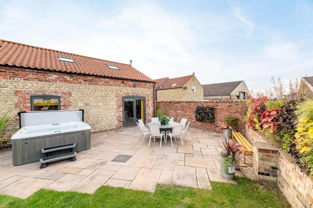
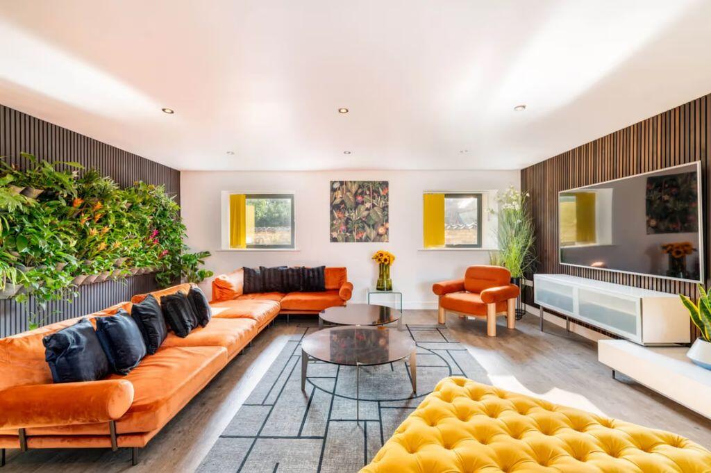
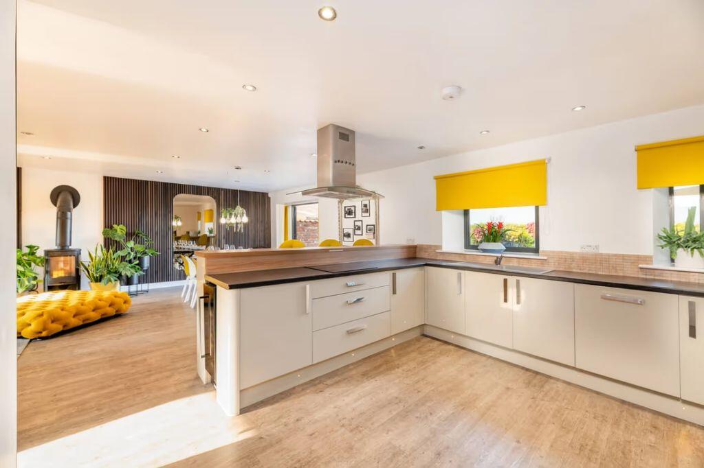
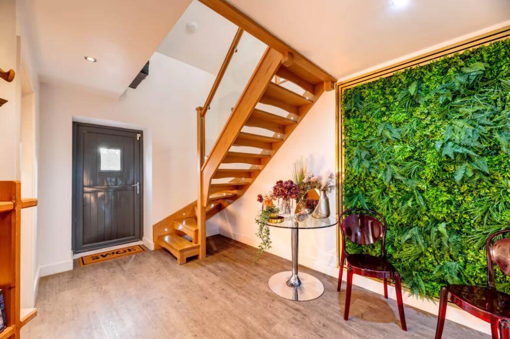
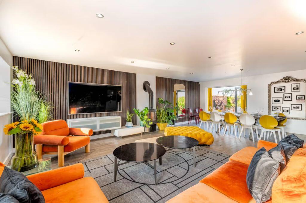
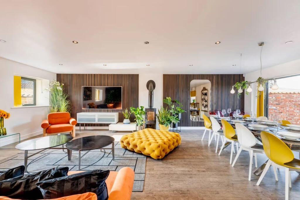
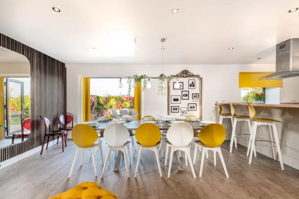
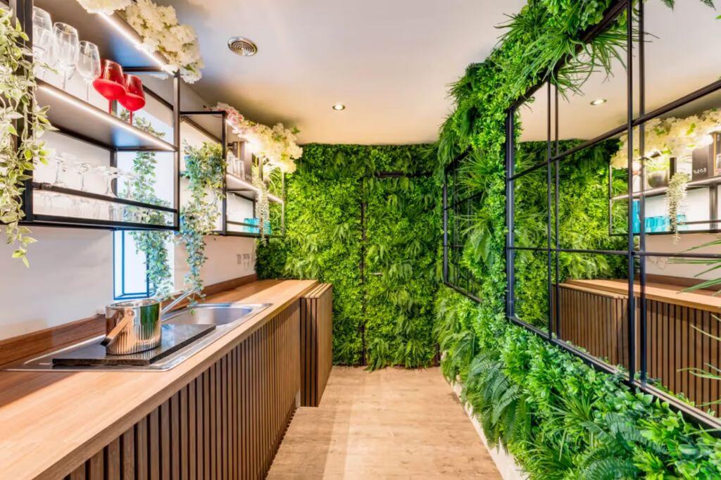
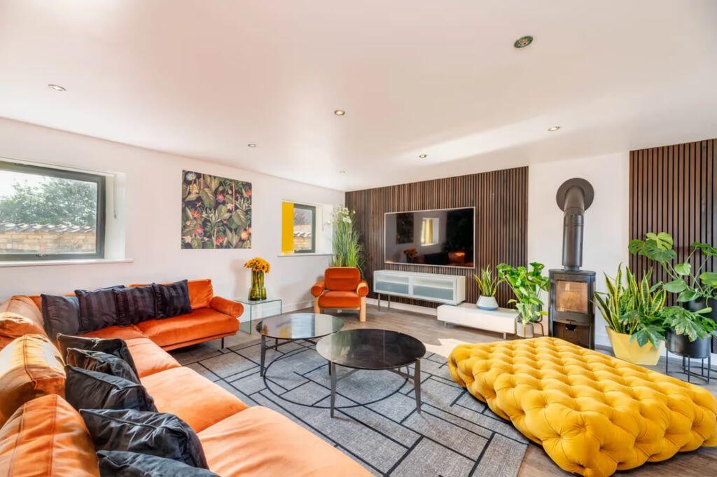
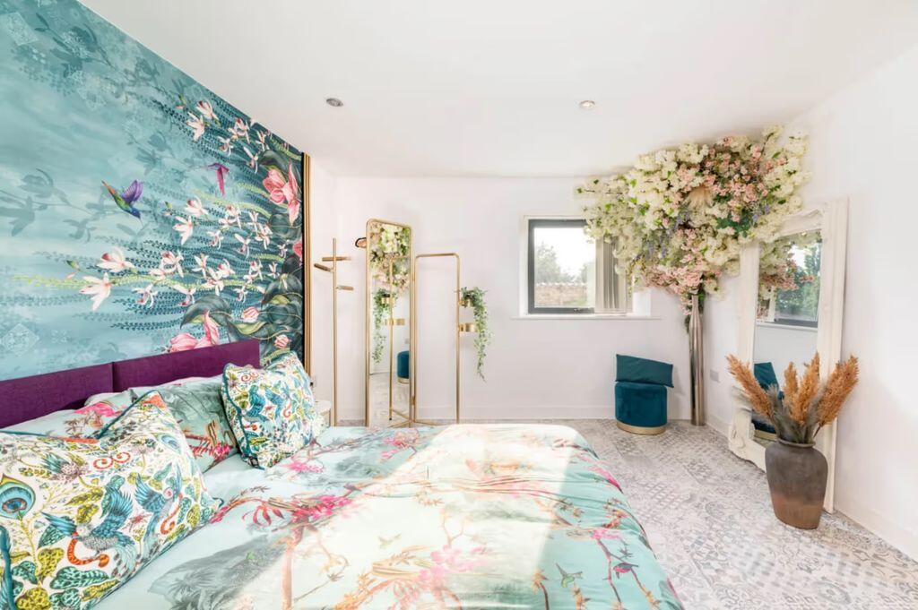
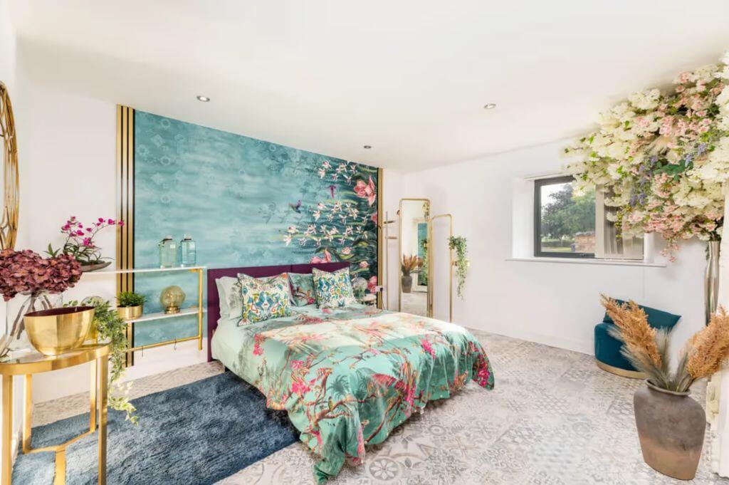
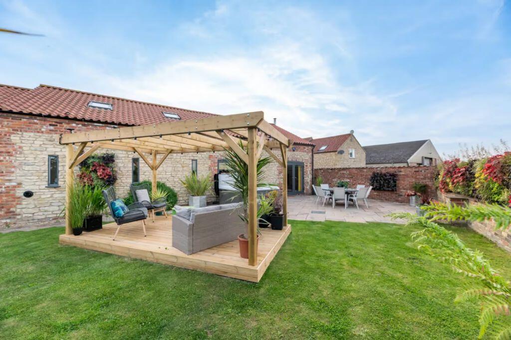
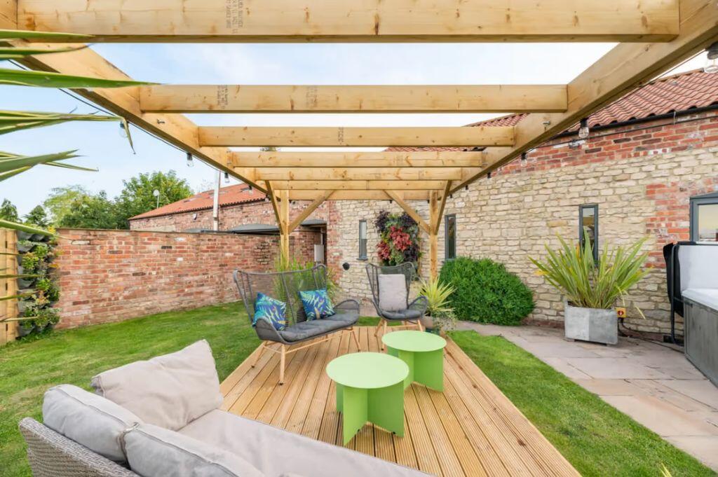
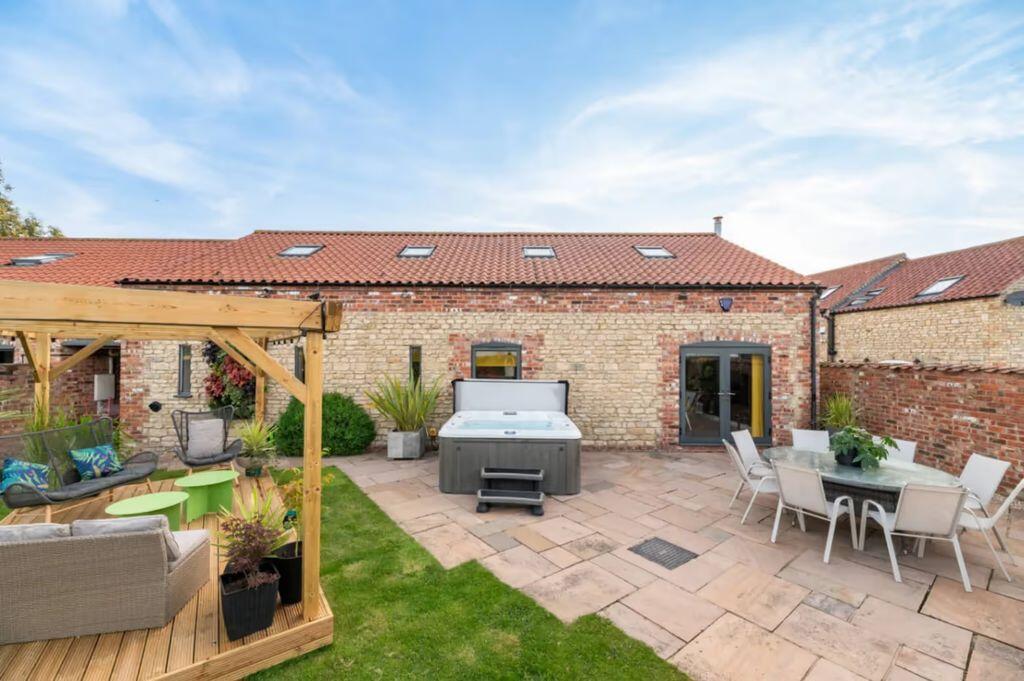
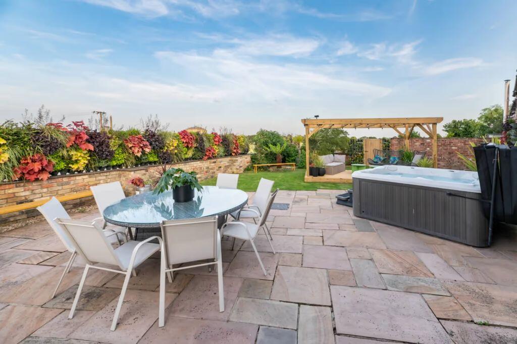
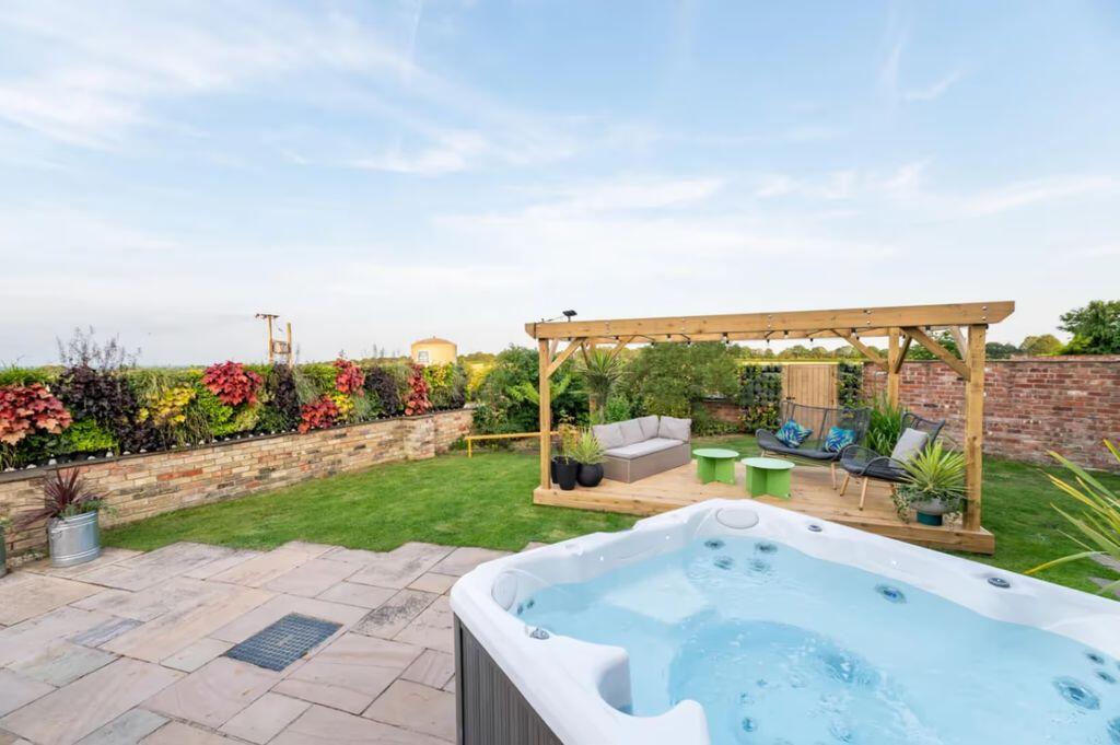
- Immaculate barn conversion holiday let
- Generates circa £85,000 per annum
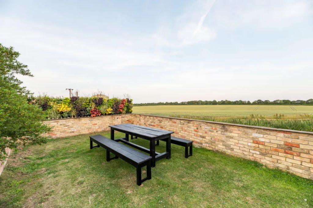
- Peaceful rural setting near Lincoln
- 1 mile from Lincolnshire Showground (year-round events)
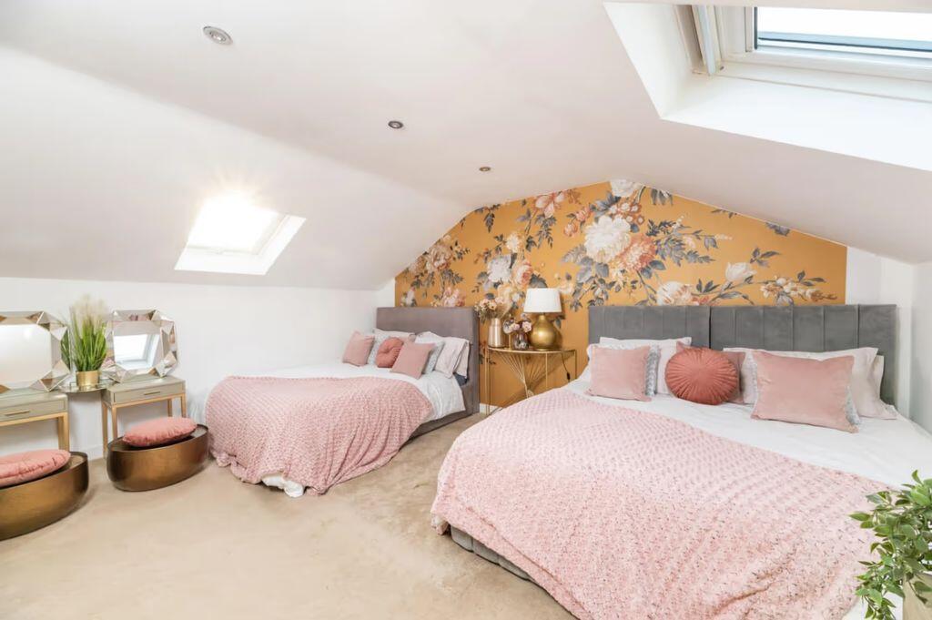
- Sleeps up to 13 guests
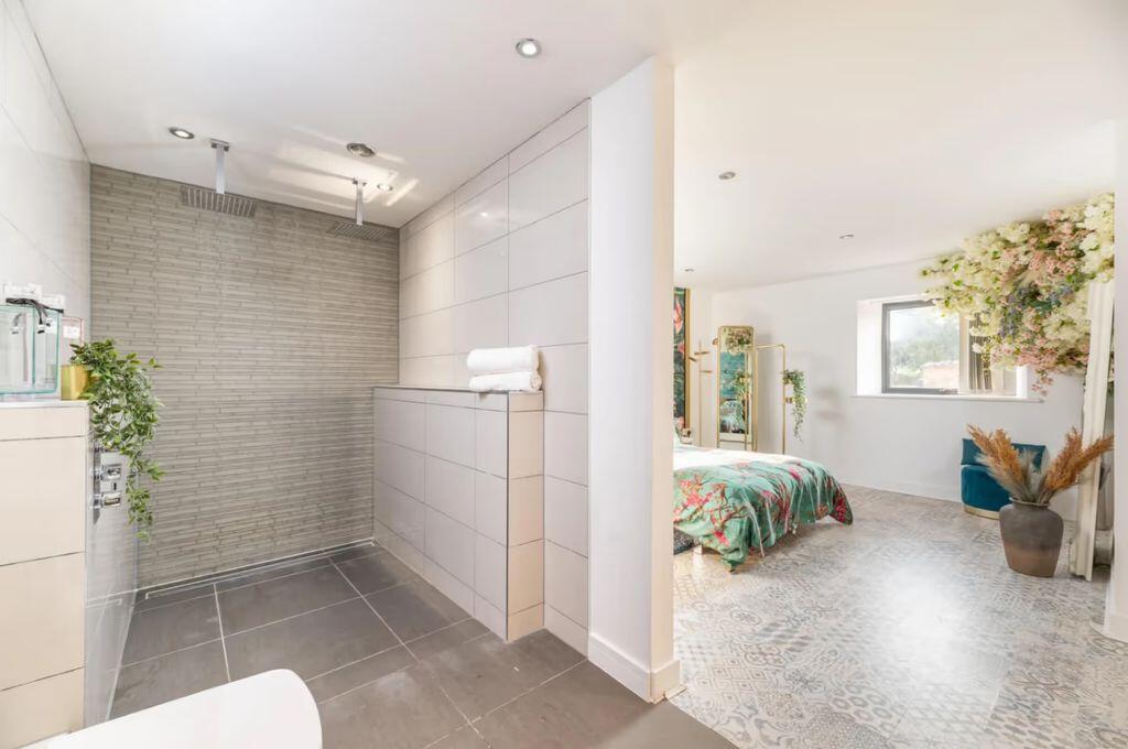
- 4 bedrooms and 3 bathrooms
- Impressive open-plan living area
- Potential for revenue growth
Additional details
- Parking
- Yes
- Garden
- Yes
Description
Listed by
Lincoln
Starkey & Brown
Reference: 174125285
EPC ratings on this postcode
We don't have a matched EPC for this property yet. Below are efficiency scores and details for other addresses on this postcode.
| Address | Current | Potential | Floor area | Age band | Type |
|---|---|---|---|---|---|
| 1, Horncastle Lane, Scampton, LINCOLN | 82 | 87 | 120 m² | England and Wales: 1930-1949 | Detached |
| Barn One Glebe Farm, Horncastle Lane, Scampton, LINCOLN | 54 | 75 | 237 m² | England and Wales: before 1900 | Terraced |
| Cliff House, Horncastle Lane, Scampton, LINCOLN | 47 | 87 | 149 m² | England and Wales: 1950-1966 | Detached |
| End Barn, Horncastle Lane, Scampton, LINCOLN | 66 | 77 | 110 m² | England and Wales: 2007-2011 | Terraced |
| Glebe Farm, Horncastle Lane, Scampton, LINCOLN | 34 | 36 | — | England and Wales: before 1900 | — |
| Glebe Farm, Horncastle Lane, Scampton, LINCOLN | 38 | 54 | — | England and Wales: 1950-1966 | — |
| Hayloft, Horncastle Lane, Scampton, LINCOLN | 76 | 81 | 272 m² | England and Wales: 2012 onwards | Detached |
| Hideaway, Horncastle Lane, Scampton, LINCOLN | 74 | 90 | 238 m² | England and Wales: 2012 onwards | Detached |
Flood risk
Zone: 1
Risk: Low
Job (default Low)
Registered land (INSPIRE)
This location falls inside an HM Land Registry INSPIRE registered freehold polygon.
Plot: ~20,179 m² (4.99 acres)
Source: HM Land Registry INSPIRE Index Polygons.
Floorplans
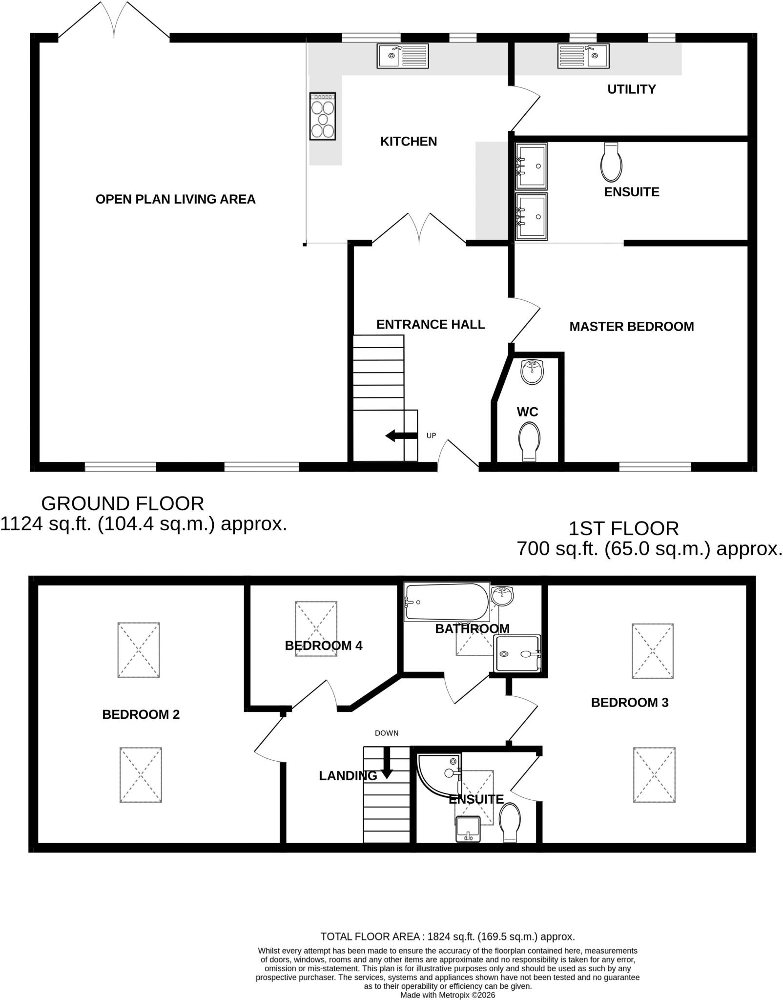
Floorplan 1
EPC Graphs
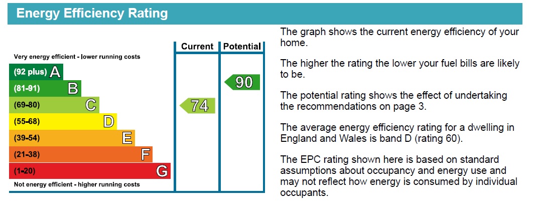
Energy Performance Certificate
Price history
| Event | Date | Price | % change |
|---|---|---|---|
| Listed for sale | — | £575,000 | — |
Source: HM Land Registry Price Paid Data. Crown copyright.
Sold Comparables
Same street and nearby sales within 0.25 miles (last 5 years). Data from Land Registry Price Paid.
| Address | Price | Date | Type |
|---|---|---|---|
| GRAMARYE COTTAGE, BRATTLEBY, LINCOLN, WEST LINDSEY, LINCOLNSHIRE, LN1 2SQ | £365,000 | 06/02/2026 | Detached |
| 2 STABLE YARD, SAXILBY, LINCOLN, WEST LINDSEY, LINCOLNSHIRE, LN1 2WD | £400,000 | 17/12/2025 | Detached |
| 8 PARK FARM COTTAGES, KETTLETHORPE, LINCOLN, WEST LINDSEY, LINCOLNSHIRE, LN1 2LD | £284,000 | 16/12/2025 | Detached |
| 11 617 COURT, SCAMPTON, LINCOLN, WEST LINDSEY, LINCOLNSHIRE, LN1 2TT | £595,000 | 08/12/2025 | Detached |
| 1 MILLFIELD AVENUE, SAXILBY, LINCOLN, WEST LINDSEY, LINCOLNSHIRE, LN1 2QN | £230,000 | 05/12/2025 | Detached |
| 26 THE CLOSE, STURTON BY STOW, LINCOLN, WEST LINDSEY, LINCOLNSHIRE, LN1 2AG | £275,000 | 05/12/2025 | Detached |
| 17 TILLBRIDGE ROAD, STURTON BY STOW, LINCOLN, WEST LINDSEY, LINCOLNSHIRE, LN1 2BP | £300,000 | 05/12/2025 | Detached |
| 2 ELM CLOSE, SAXILBY, LINCOLN, WEST LINDSEY, LINCOLNSHIRE, LN1 2QH | £295,000 | 05/12/2025 | Detached |
| 20 MEADOW RISE, SAXILBY, LINCOLN, WEST LINDSEY, LINCOLNSHIRE, LN1 2HW | £352,000 | 28/11/2025 | Detached |
| 7 WARWICK CLOSE, SAXILBY, LINCOLN, WEST LINDSEY, LINCOLNSHIRE, LN1 2FT | £432,500 | 25/11/2025 | Detached |
| 12 COCKERELS ROOST, NEWTON ON TRENT, LINCOLN, WEST LINDSEY, LINCOLNSHIRE, LN1 2FY | £367,500 | 19/11/2025 | Detached |
| 53 CHURCH LANE, SAXILBY, LINCOLN, WEST LINDSEY, LINCOLNSHIRE, LN1 2PE | £395,000 | 07/11/2025 | Detached |
| ROSE COTTAGE, TORKSEY LOCK, LINCOLN, WEST LINDSEY, LINCOLNSHIRE, LN1 2EH | £205,000 | 07/11/2025 | Detached |
| TWO MAGPIES LINCOLN ROAD, FENTON, LINCOLN, WEST LINDSEY, LINCOLNSHIRE, LN1 2EP | £262,500 | 31/10/2025 | Detached |
| STADDLESTONES, CAMMERINGHAM, LINCOLN, WEST LINDSEY, LINCOLNSHIRE, LN1 2SH | £500,000 | 31/10/2025 | Detached |
| 1 QUEENSWAY COURT, SAXILBY, LINCOLN, WEST LINDSEY, LINCOLNSHIRE, LN1 2QT | £177,000 | 31/10/2025 | Detached |
| 6 WESTCROFT DRIVE, SAXILBY, LINCOLN, WEST LINDSEY, LINCOLNSHIRE, LN1 2PT | £190,000 | 15/08/2025 | Detached |
| 31 TILLBRIDGE ROAD, STURTON BY STOW, LINCOLN, WEST LINDSEY, LINCOLNSHIRE, LN1 2BP | £550,000 | 10/07/2025 | Detached |
| CLIFTON HOUSE MAIN ROAD, LAUGHTERTON, LINCOLN, WEST LINDSEY, LINCOLNSHIRE, LN1 2JZ | £225,000 | 04/07/2025 | Detached |
| THORPE LANE FARM, BRATTLEBY, LINCOLN, WEST LINDSEY, LINCOLNSHIRE, LN1 2YN | £1,525,000 | 25/03/2025 | Detached |
Area average: £396,275 (20 sales)
Capital growth trend
Land Registry outcode average: last 12 months vs 5y and 10y ago (from sold prices).
House Price Index (HM Land Registry — official index, not sold-price averages): West Lindsey. Series: Detached. As of July 2026.
Rental Range
Estimated market rent for West Lindsey. Low = conservative, Realistic = average, Optimistic = best case.
Based on Local Authority from postcode lookup → West Lindsey.
LHA (30th percentile) floor for Lincoln: £922/mo (Apr 2025 – Mar 2026)
Location
Nearby
Nearest stations, universities and amenities (distance from property).
| Type | Name | Distance |
|---|---|---|
| Bus stop | Tennis Courts | 0.7 miles |
| Bus stop | Bus Layby | 0.7 miles |
| University | University of Lincoln - Riseholme Campus | 1.8 miles |
| Shop | Welton Paper Shop | 2.1 miles |
| Shop | Hair Sense | 2.1 miles |
| University | Lincoln Bishop University | 3.5 miles |
| Train station | Lincoln | 4.7 miles |
| Train station | Saxilby | 5.8 miles |
Street-level crime
| Category | Count |
|---|---|
| Anti-social behaviour | 3 |
| Violence and sexual offences | 3 |
| Criminal damage and arson | 1 |
| Total incidents | 7 |
Within 1 mile during Aug 2026. Source: data.police.uk (England & Wales).
Schools nearby
Nearest open schools with Ofsted ratings (England). Closed schools are not shown. Data from Get Information about Schools and Ofsted.
| Name | Type | Distance | Ofsted |
|---|---|---|---|
| Pollyplatt Primary School | Primary | 0.6 miles | Good — 13 Dec 2011 |
| Scampton Church of England Primary School | Primary | 1.9 miles | Good — 10 Mar 2011 |
| Welton St Mary's Church of England Primary Academy | Primary | 2.1 miles | Good — 19 Jul 2013 |
| William Farr CofE Comprehensive School | Secondary | 2.1 miles | Good — 5 Dec 2022 |
| The Nettleham Infant and Nursery School | Primary | 2.5 miles | Good — 30 Jan 2024 |
Rental Comparables
Rental comparables data is not available for this property.
Rent-driven metrics
Based on Area rent estimate.
- Rent ratio — Monthly rent ÷ purchase price (1% rule). 1%+ = strong, 0.8–1% = okay, <0.8% = weak for cashflow.
- Max investor price — Rent ÷ 0.8%; the price at which rent would be 0.8% of price (Stoke-style target).
- Target investor price — Rent ÷ 1%; the price at which rent would be 1% of price (strong cashflow band).
- Gross yield — Annual rent as % of purchase price (no costs).
Enter House Number
Enter the house number to help us retrieve more accurate pricing history and property data.
Please log in to submit or correct the house number for this listing.
Log in to continue