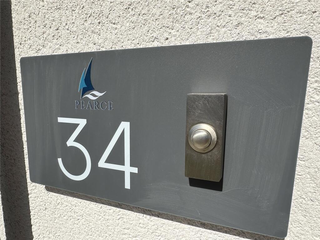
Pl31 2Wq
PL31 2WQ

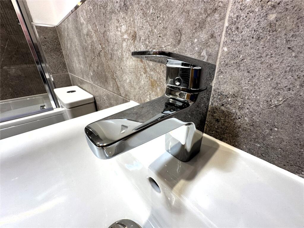
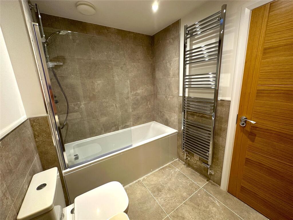
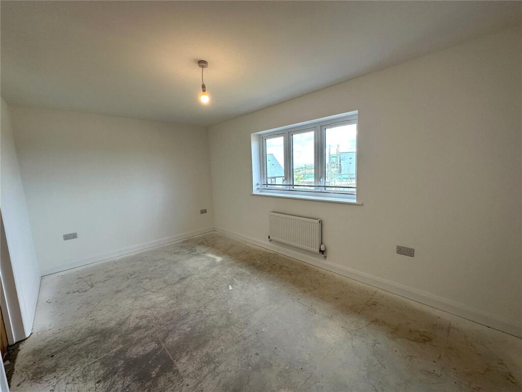
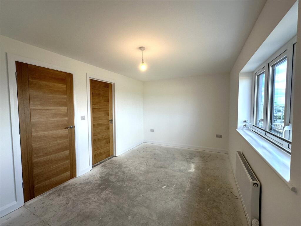
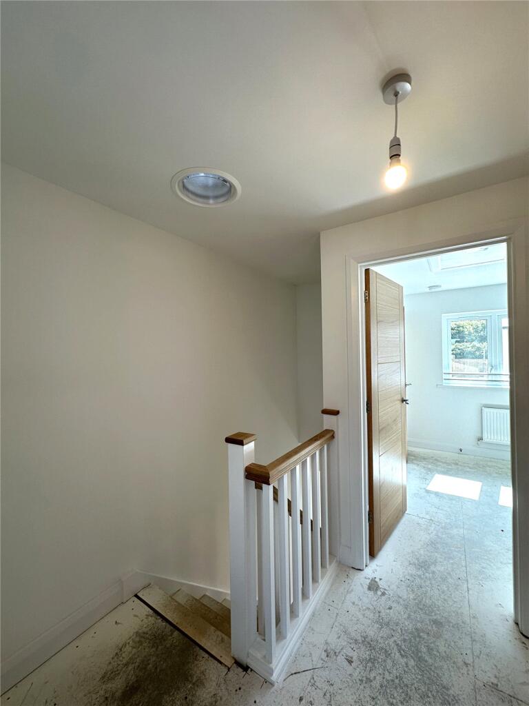
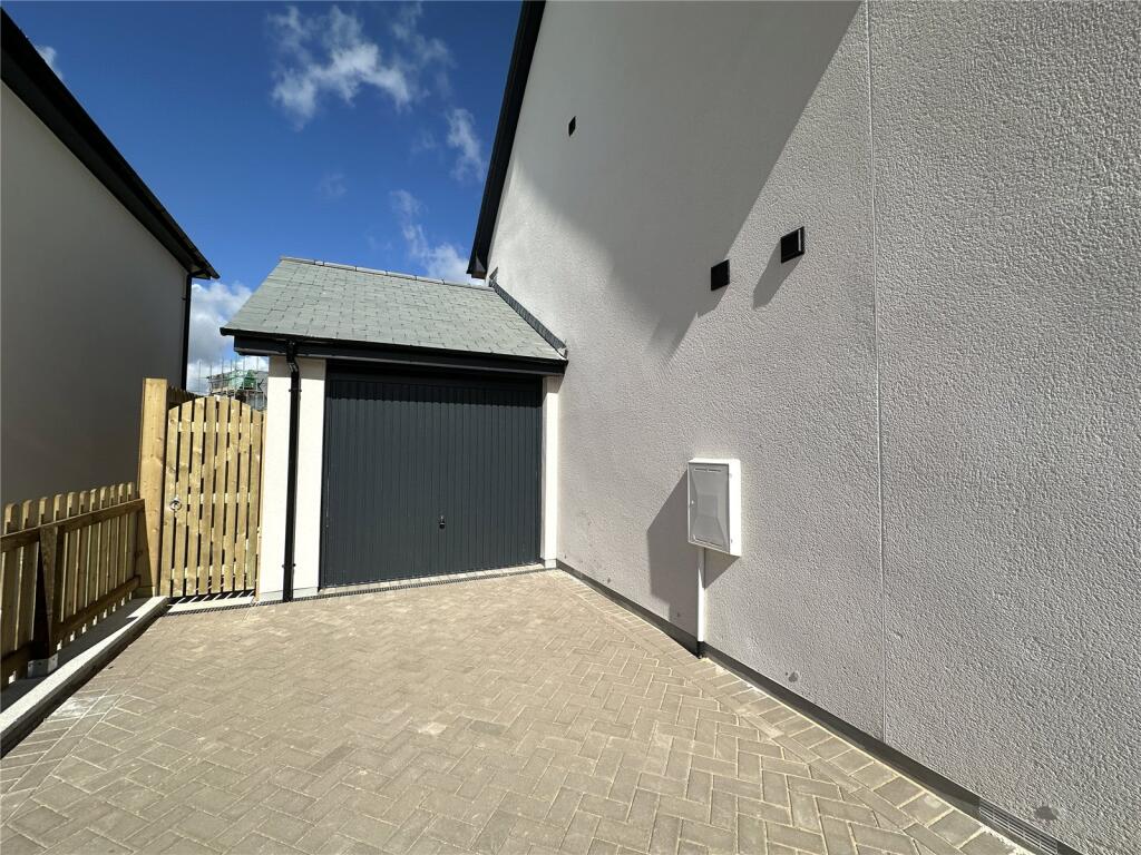
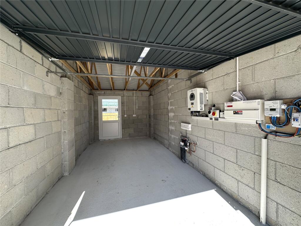
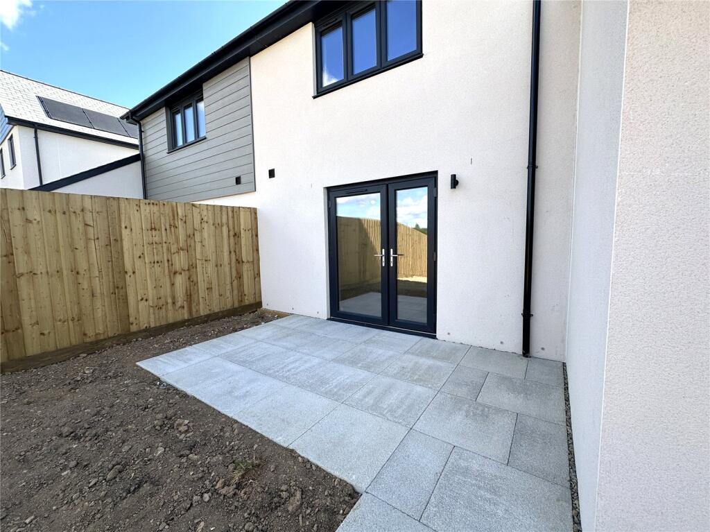

Picture No. 03 Picture No. 39 Picture No. 13 Picture No. 26 Picture No. 27 Picture No. 07 Picture No. 02 Picture No. 20 Picture No. 19 Picture No. 18 Picture No. 10 Picture No. 09 Picture No. 17 Picture No. 14 Picture No. 33 Picture No. 12 Picture No. 34 Picture No. 22 Picture No. 23 Picture No. 11 Picture No. 24 Picture No. 35 Picture No. 25 Picture No. 28 Picture No. 29 Picture No. 21 Picture No. 05 Picture No. 06 Picture No. 08 Picture No. 04 Picture No. 40
/ 31
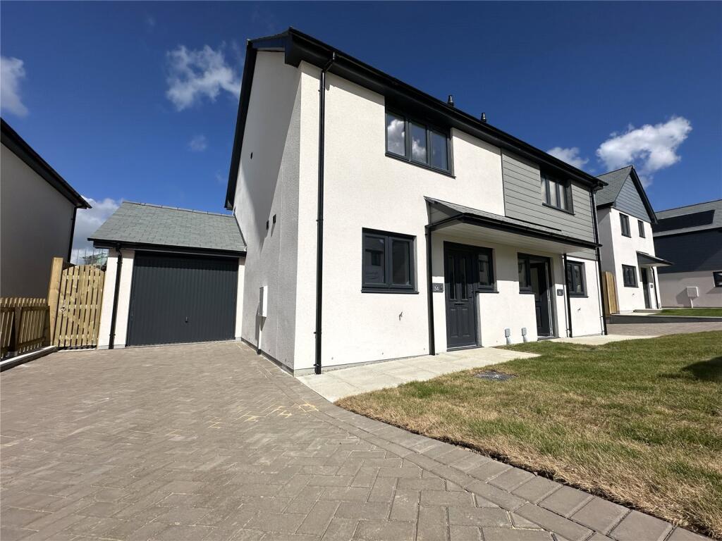
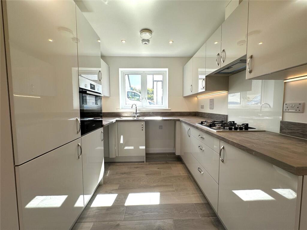
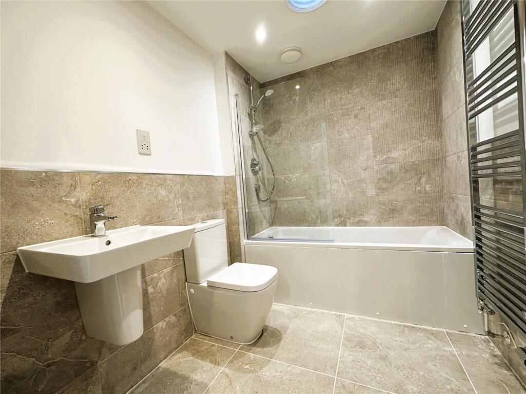
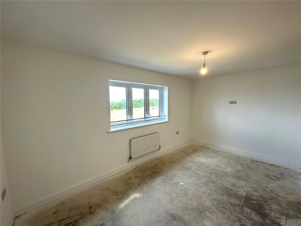
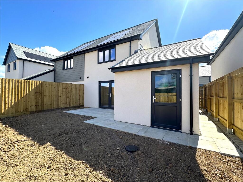
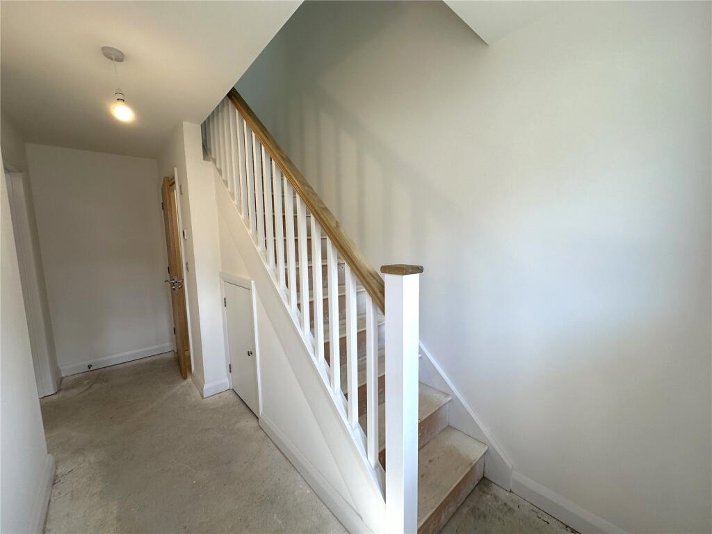
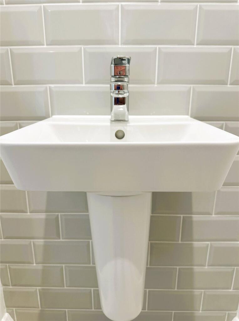
Property details
Council tax band
B
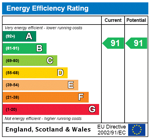
EPC ratings on this postcode
We don't have a matched EPC for this property yet. Below are efficiency scores and details for other addresses on this postcode.
| Address | Current | Potential | Floor area | Age band | Type |
|---|---|---|---|---|---|
| 1 Highfield Park, Bodmin | 83 | 96 | 70 m² | — | Detached |
| 10 Highfield Park, Bodmin | 84 | 96 | 80 m² | — | Detached |
| 11 Highfield Park, Bodmin | 85 | 96 | 91 m² | — | Detached |
| 12 Highfield Park, Bodmin | 85 | 96 | 91 m² | — | Detached |
| 13 Highfield Park, Bodmin | 84 | 84 | 56 m² | — | Flat |
| 14 Highfield Park, Bodmin | 83 | 83 | 56 m² | — | Flat |
| 15 Highfield Park, Bodmin | 85 | 96 | 91 m² | — | Detached |
| 16 Highfield Park, Bodmin | 85 | 96 | 91 m² | — | Detached |
| 17 Highfield Park, Bodmin | 85 | 96 | 91 m² | — | Detached |
| 18 Highfield Park, Bodmin | 85 | 96 | 91 m² | — | Detached |
| 19 Highfield Park, BODMIN | 84 | 96 | 80 m² | — | Detached |
| 2 Highfield Park, Bodmin | 83 | 96 | 70 m² | — | Detached |
| 20 Highfield Park, Bodmin | 84 | 96 | 80 m² | — | Detached |
| 21 Highfield Park, Bodmin | 84 | 96 | 80 m² | — | Detached |
| 22 Highfield Park, Bodmin | 84 | 96 | 80 m² | — | Detached |
Flood risk
Zone: 1
Risk: Low
Not in Flood Risk Area (no data)
Floorplans
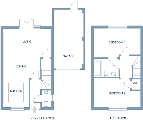
Floorplan
EPC Graphs
EPC Rating Graph
Rental Range
Estimated market rent for South West. Low = conservative, Realistic = average, Optimistic = best case.
Based on Postcode area PL → South West.
Location
Nearby
Nearest stations, universities and amenities (distance from property).
| Type | Name | Distance |
|---|---|---|
| Bus stop | Newtons Margate | 0.0 miles |
| Shop | Homebase | 0.1 miles |
| Shop | Halfords | 0.1 miles |
| Bus stop | Cooksland Industrial Estate | 0.1 miles |
| Train station | Bodmin General | 0.7 miles |
| Train station | Colesloggett Halt | 1.4 miles |
| Hospital | Bodmin Hospital | 1.8 miles |
| Hospital | St Austell Community Hospital | 10.4 miles |
Street-level crime
Crime data is not yet available for this property.
Rental Comparables
Residential lets from OpenRent and Rightmove for the area (same bedroom count). Use to validate rent estimates. Student lets are excluded.
| Title | Rent | Beds | As seen on |
|---|---|---|---|
| 2 Bed Flat, Castle Street, PL31 | £570/mo | 2 | OpenRent |
| 2 Bed Flat, St. Nicholas Street, PL31 | £725/mo | 2 | OpenRent |
| 2 Bed Flat, Fore Street, PL31 | £750/mo | 2 | OpenRent |
| 2 Bed Flat, Royffe Way, PL31 | £800/mo | 2 | OpenRent |
| 2 Bed Flat, Cross Lane, PL31 | £825/mo | 2 | OpenRent |
| 2 Bed Terraced House, Higher Bore Street, PL31 | £875/mo | 2 | OpenRent |
| 2 Bed Semi-Detached House, Robartes Road, PL31 | £900/mo | 2 | OpenRent |
| 2 Bed Flat, Priory House, PL31 | £1,200/mo | 2 | OpenRent |
Average rent: £831/mo (8 listings)
Enter House Number
Enter the house number to help us retrieve more accurate pricing history and property data.
Please log in to submit or correct the house number for this listing.
Log in to continue