33 MAES Y CROFFT
CARDIFF, MORGANSTOWN, CARDIFF CF15 8FE
£1,300 pcm
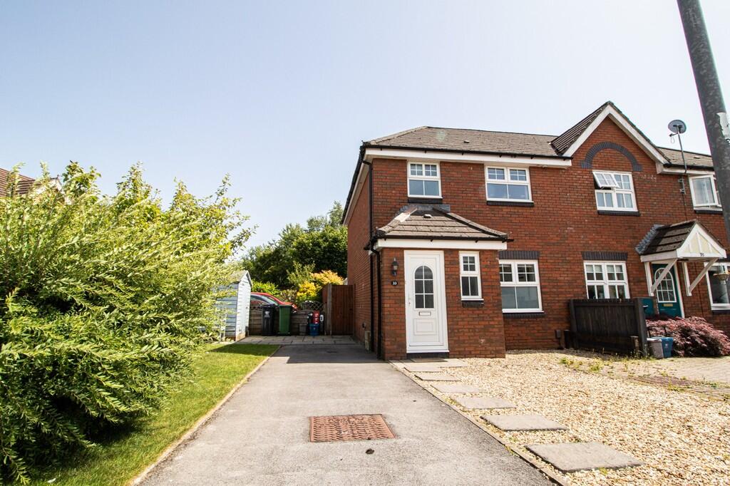
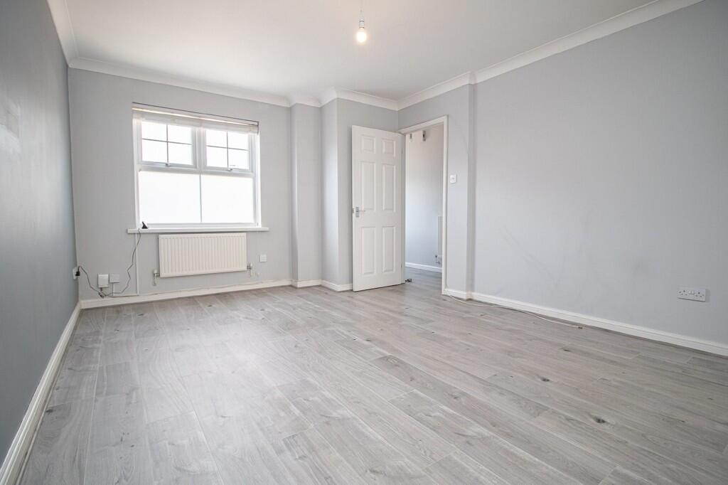
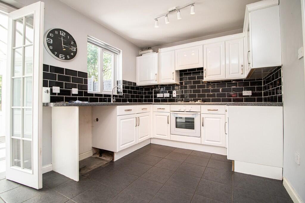
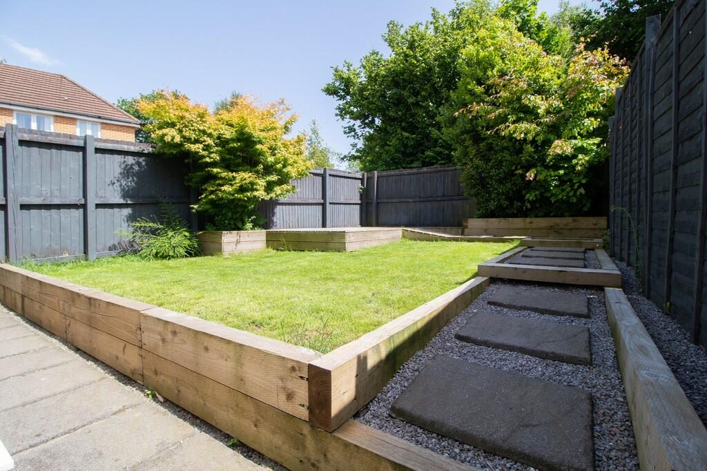
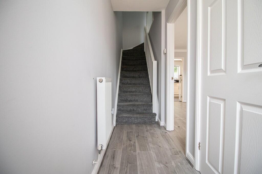
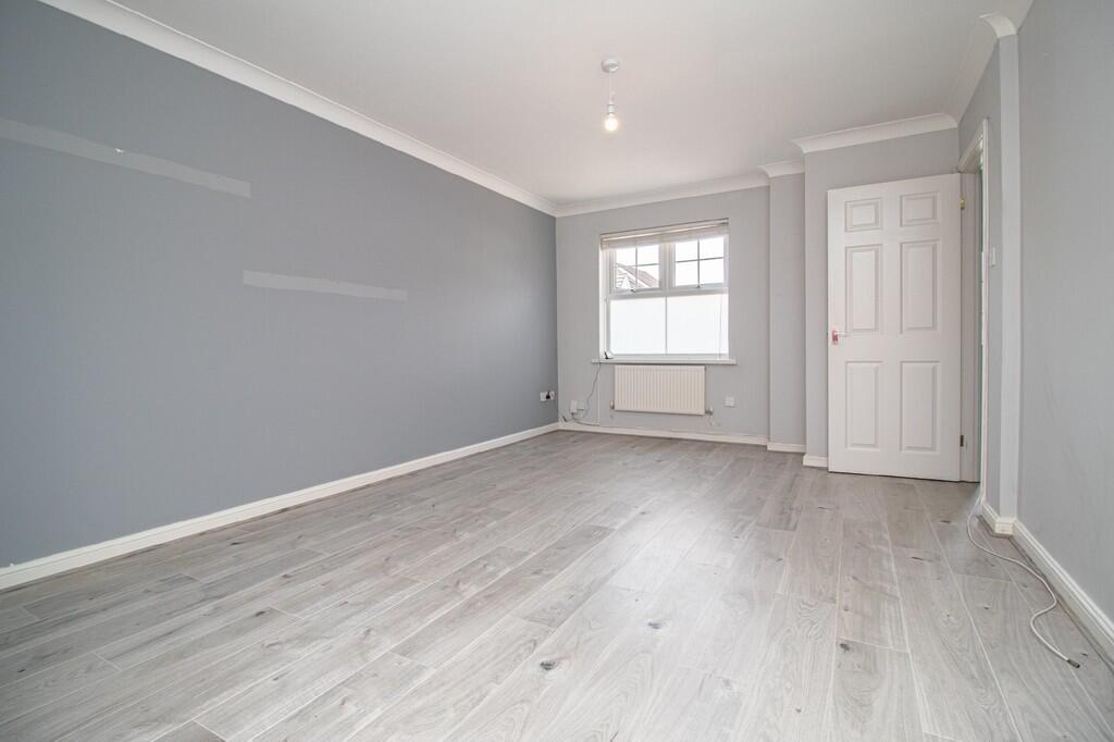
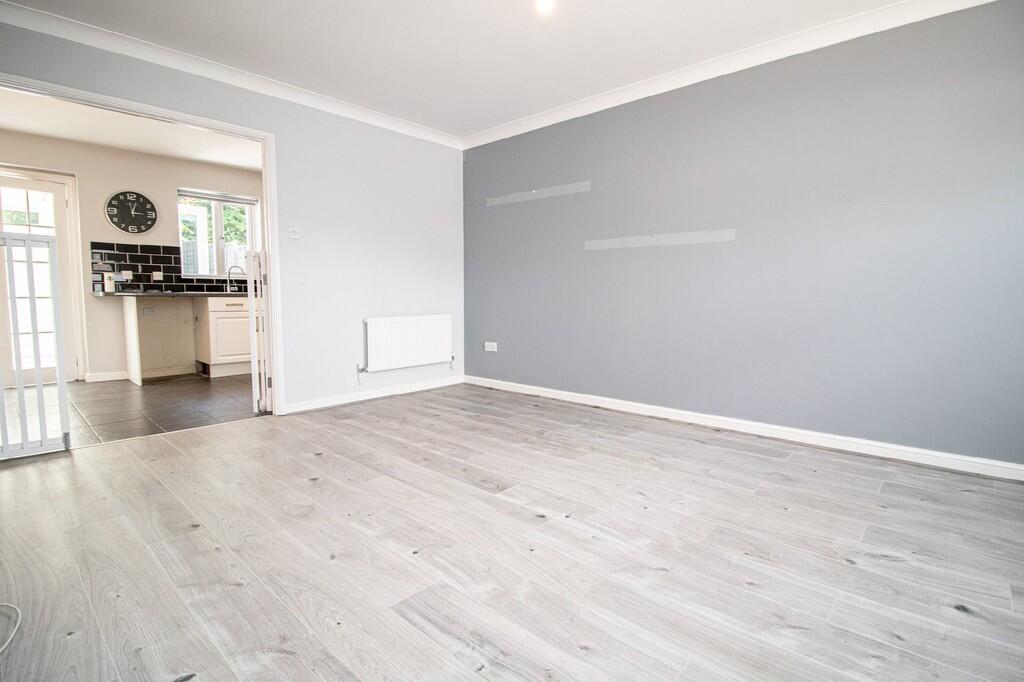
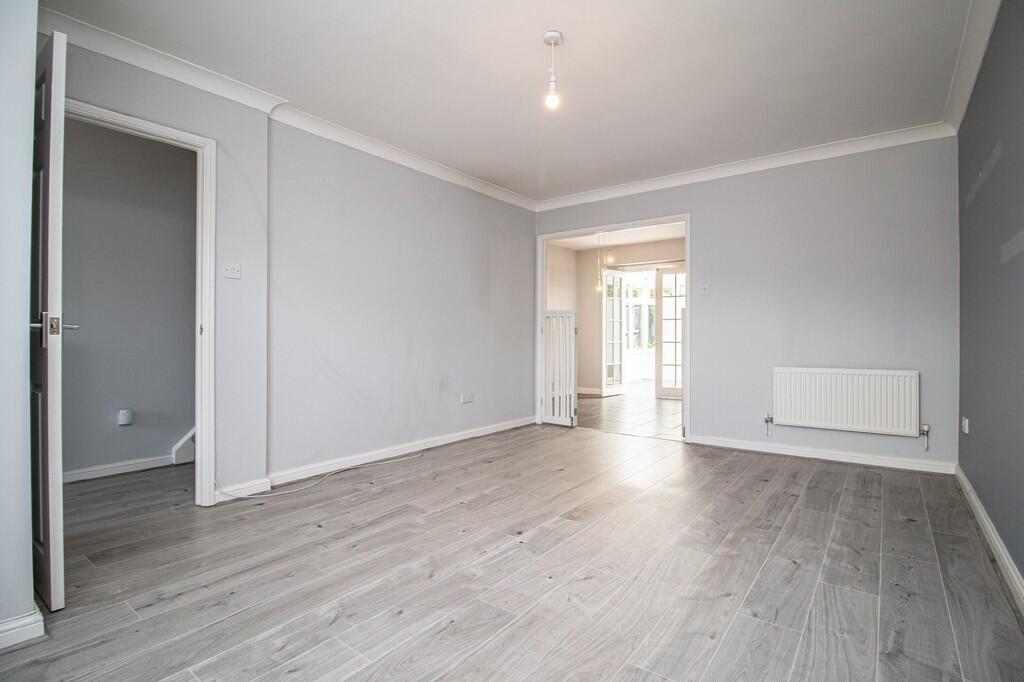
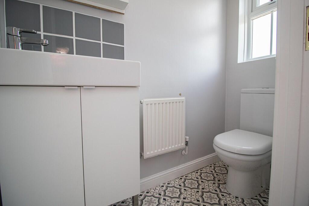
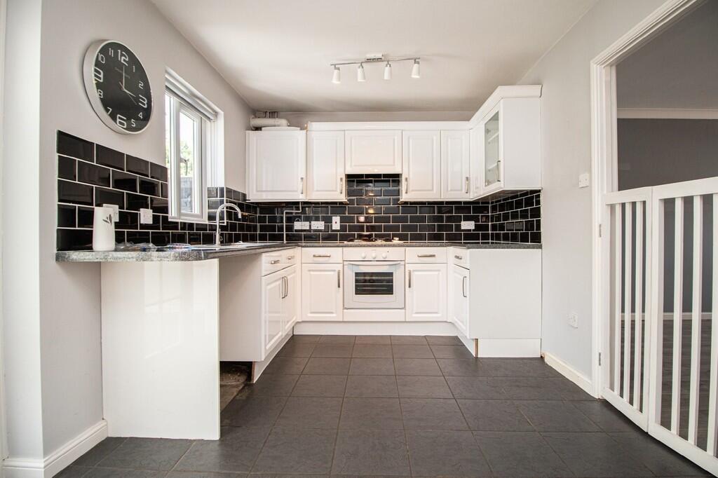
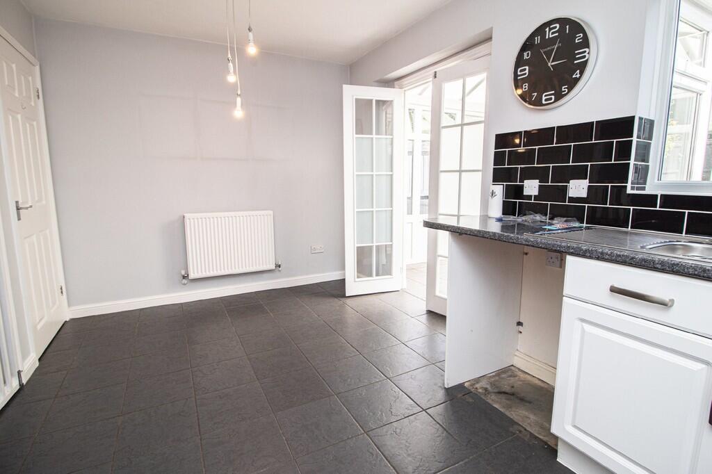
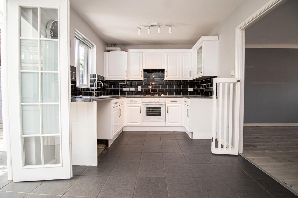
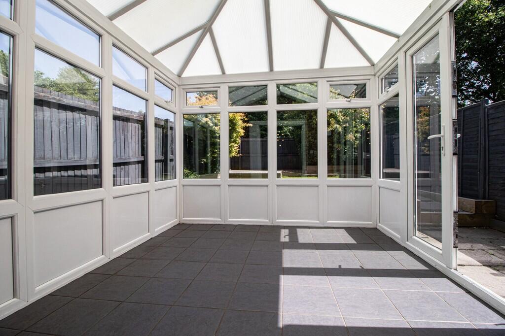
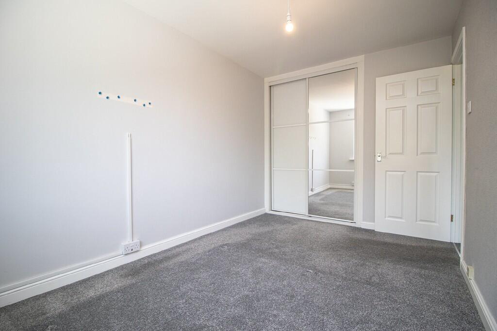
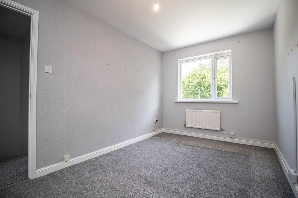
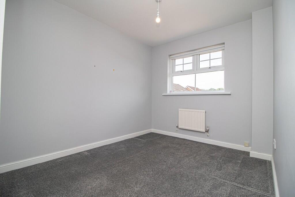
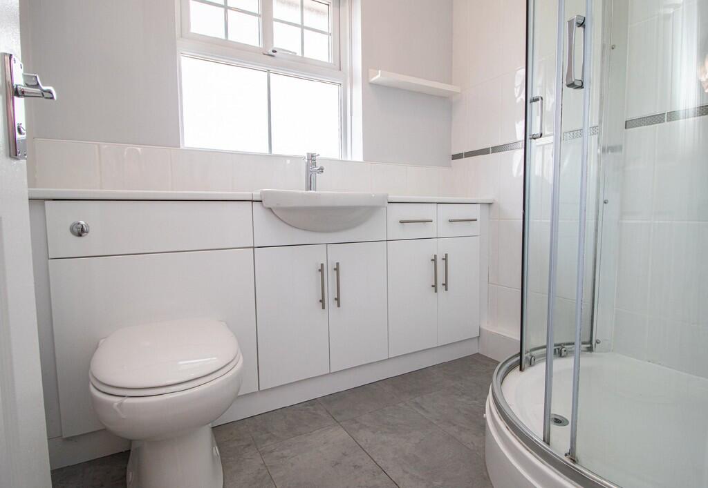
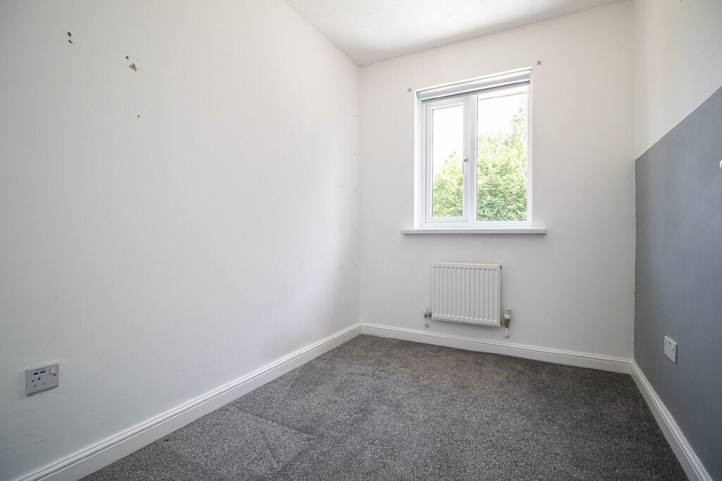
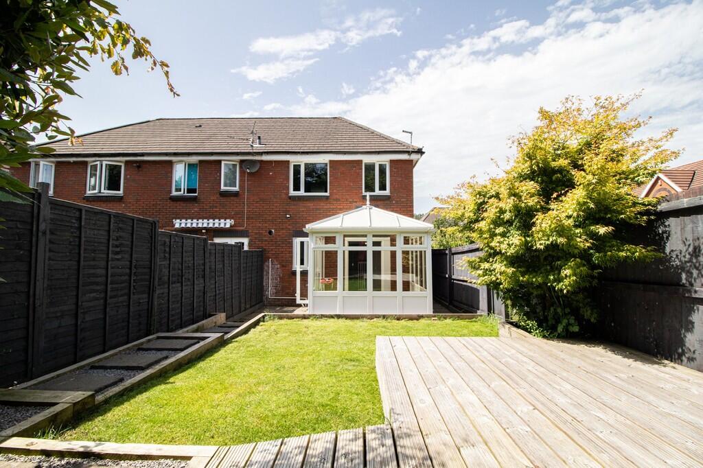
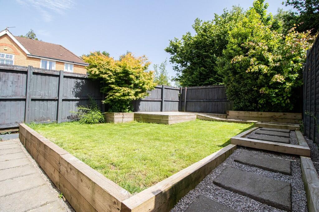
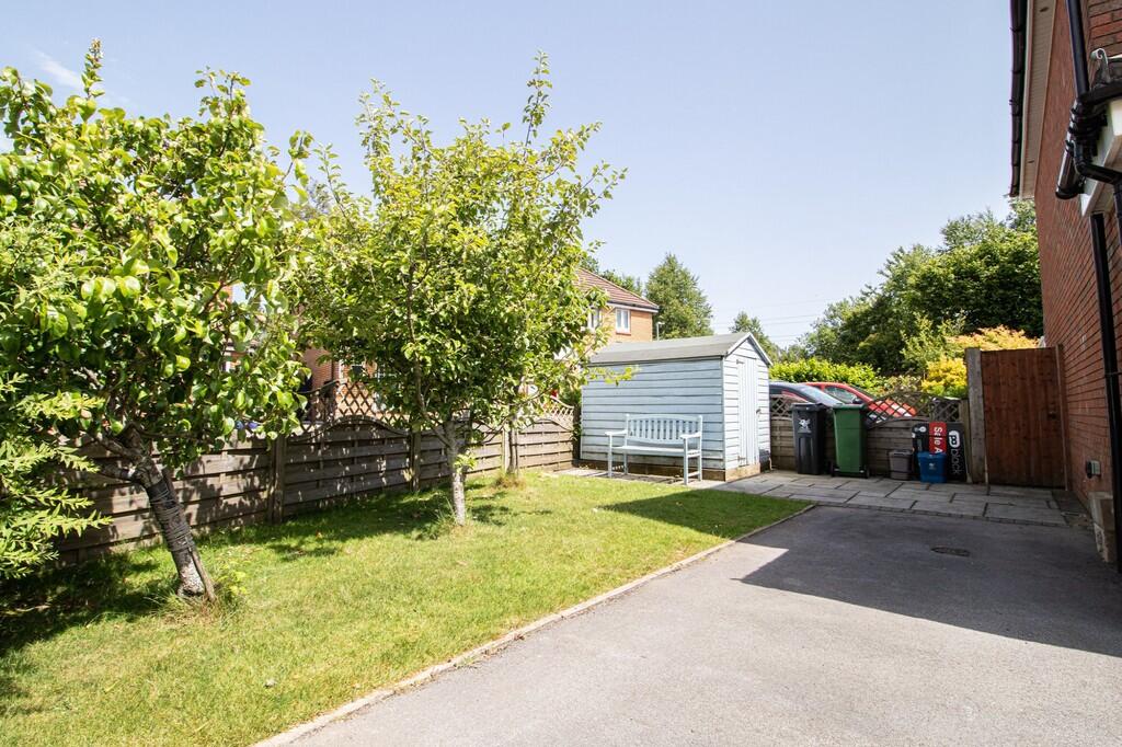
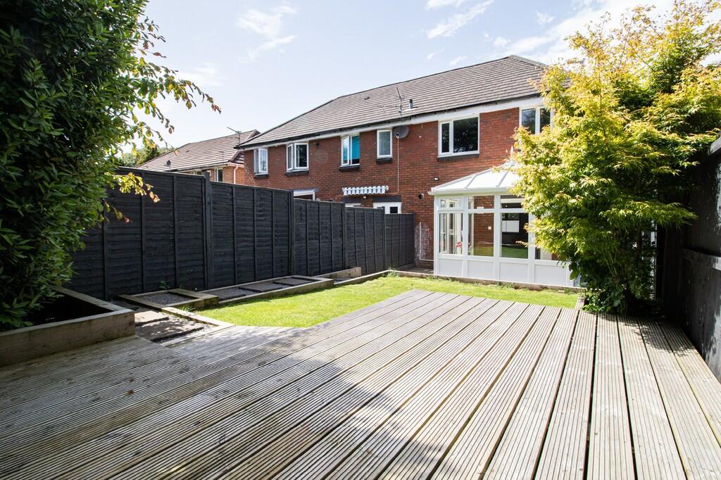
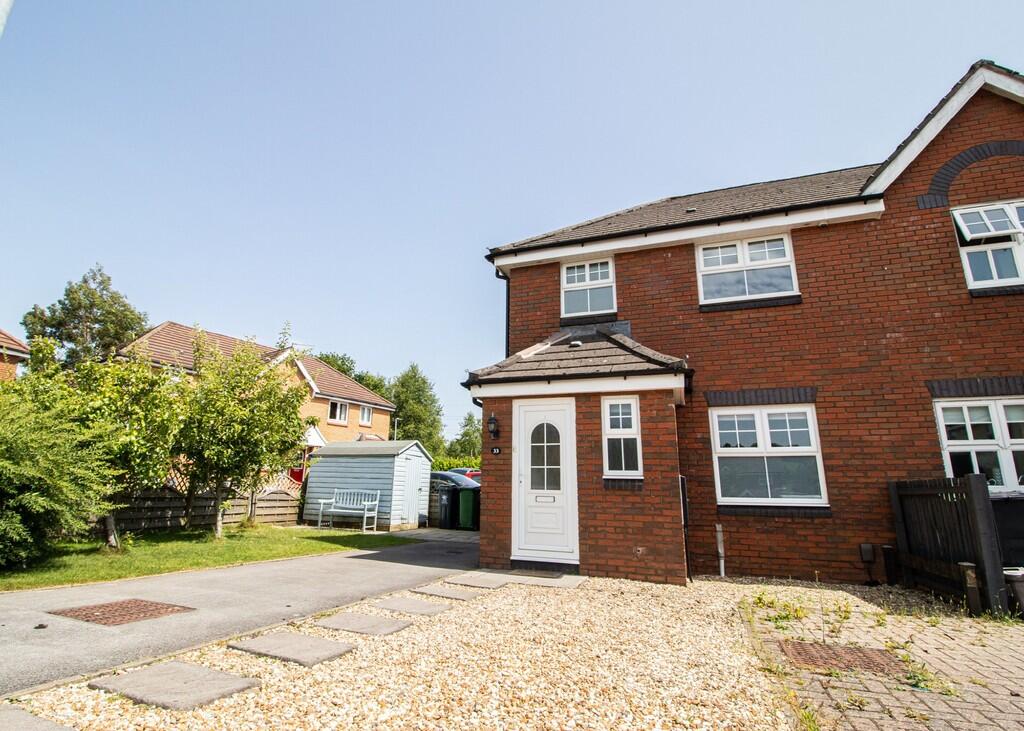
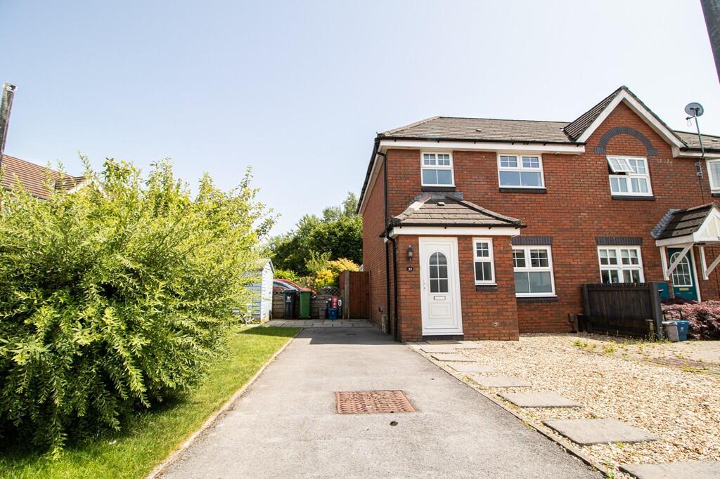
Photo 1 Photo 2 Photo 3 Photo 4 Photo 5 Photo 6 Photo 7 Photo 8 Photo 9 Photo 10 Photo 11 Photo 12 Photo 13 Photo 14 Photo 15 Photo 16 Photo 17 Photo 18 Photo 19 Photo 20 Photo 21 Photo 22 Photo 23 Photo 24
/ 24
Property details
Floor area
79 m²
EPC rating
D
Street crime
19 incidents within 1 mile (Apr 2026)
Key features
- Three Bedroom, End Terraced House
- Immaculately Presented
- Garden to Front, Side & Rear
- Off Road Parking
- Unfurnished
- EPC D
Additional details
- Heating
- Gas central
- Parking
- Off street
- Garden
- Yes
Description
*A holding deposit the equivalent of one weeks rent totalling £300 will be payable to secure the property subject to references and subject to contract*
Listed by
Radyr
Michael Graham Young
Reference: 161259968
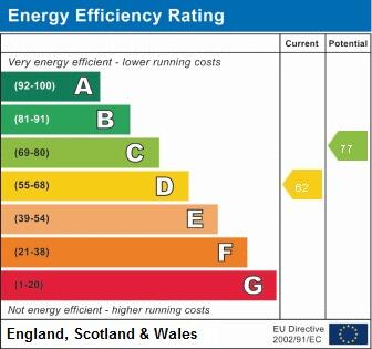
EPC Rating & Upgrade Cost
Current rating: D
Potential rating: B
Inspection date: 30/04/2021
Expiry date: 29/04/2031
Current heating cost: £510/year
Potential heating cost: £367/year
Est. upgrade cost to C: £15,725
Recommendations
- Increase loft insulation to 270 mm (£100 - £350)
- Cavity wall insulation (£500 - £1,500)
- Floor insulation (solid floor) (£4,000 - £6,000)
- Solar water heating (£4,000 - £6,000)
- Solar photovoltaic panels, 2.5 kWp (£3,500 - £5,500)
Flood risk
Zone: 1
Risk: Low
Job (default Low)
EPC Graphs
EPC 1
Rental Range
Estimated market rent for Cardiff. Low = conservative, Realistic = average, Optimistic = best case.
Based on Local Authority from postcode lookup → Cardiff.
Location
Nearby
Nearest stations, universities and amenities (distance from property).
| Type | Name | Distance |
|---|---|---|
| Bus stop | Cardiff Bus - Bws Caerdydd | 0.4 miles |
| Bus stop | Park Road | 0.5 miles |
| Shop | Pugh's Garden Centre | 0.6 miles |
| Shop | Salon Nia | 0.6 miles |
| Train station | Radyr | 0.9 miles |
| Train station | Taffs Well | 1.2 miles |
| University | Royal Welsh College of Music and Drama | 4.4 miles |
| University | University of South Wales | 4.6 miles |
| Hospital | Llandough Hospital | 5.9 miles |
| Hospital | Nuffield Health Cardiff Bay Hospital | 6.0 miles |
Street-level crime
| Category | Count |
|---|---|
| Violence and sexual offences | 5 |
| Anti-social behaviour | 3 |
| Criminal damage and arson | 3 |
| Other theft | 3 |
| Drugs | 2 |
| Public order | 2 |
| Vehicle crime | 1 |
| Total incidents | 19 |
Within 1 mile during Apr 2026. Source: data.police.uk (England & Wales).
Schools nearby
Nearest open schools with Ofsted ratings (England). Closed schools are not shown. Data from Get Information about Schools and Ofsted.
| Name | Type | Distance | Ofsted |
|---|---|---|---|
| Bryn Deri Primary School | Other | 0.3 miles | — (No rating) |
| Radyr Primary School | Other | 0.5 miles | — (No rating) |
| Tongwynlais Primary School | Other | 0.9 miles | — (No rating) |
| Coryton Primary School | Other | 1.3 miles | — (No rating) |
| Radyr Comprehensive School | Other | 1.3 miles | — (No rating) |
Rental Comparables
Residential lets from OpenRent and Rightmove for the area (same bedroom count). Use to validate rent estimates. Student lets are excluded.
| Title | Rent | Beds | Distance | As seen on |
|---|---|---|---|---|
| 3 Bed Semi-Detached House, Queen Street, CF15 | £1,250/mo | 3 | 0.84 miles | OpenRent |
| 3 Bed End Terrace, Hermon House, CF15 | £1,400/mo | 3 | 0.86 miles | OpenRent |
Average rent: £1,325/mo (2 listings)