Corkland Road
Chorlton, M21, M21 8UP
£1,600,000


Picture No. 21 Picture No. 10 Picture No. 11 Picture No. 08 Picture No. 09 Picture No. 07 Picture No. 06 Picture No. 04 Picture No. 03 Picture No. 05 Picture No. 22 Picture No. 20 Picture No. 16 Picture No. 19 Picture No. 17 Picture No. 18 Picture No. 12 Picture No. 13 Picture No. 14 Picture No. 15 Google Maps Image
/ 21
Property details
Tenure
FREEHOLD
Council tax band
A
Local average
£742,500 (+115.5%)
Deprivation
Decile 6 (18,878 of 33,755)
Street crime
0 incidents within 1 mile (Mar 2026)
Key features
- Substantial Investment Opportunity
- Four Self Contained Apartments & Commercial Ground Floor Unit
- Full Planning Permission In Place for Five Further Apartments
- Approx. 6140 Sq.Ft
- Walking Distance Of Chorlton Village
Additional details
- Parking
- Off street, Gated, Residents
Description
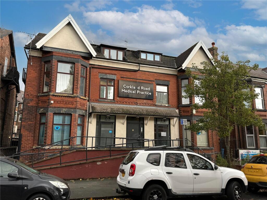
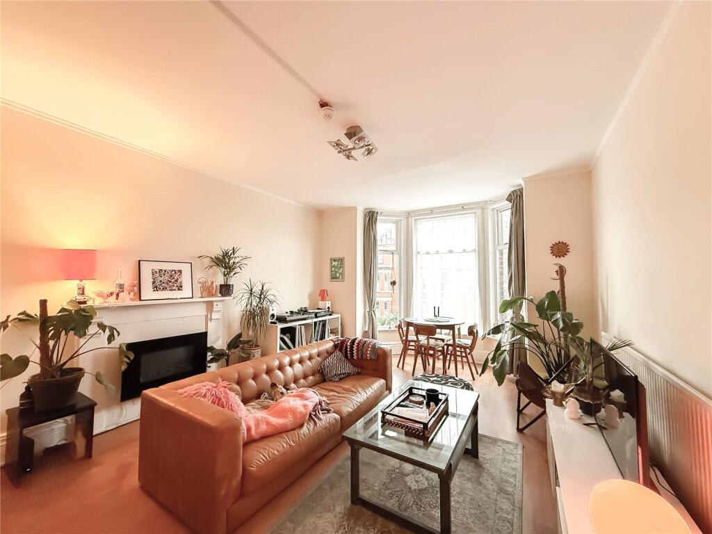
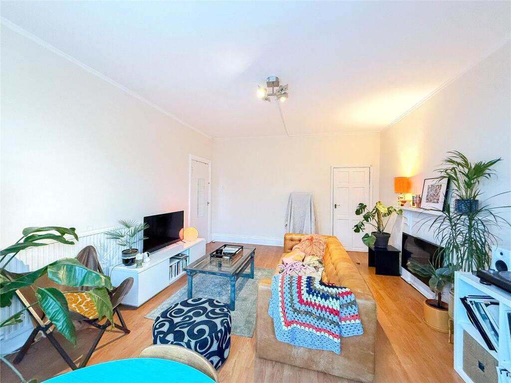
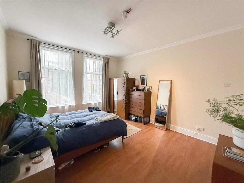
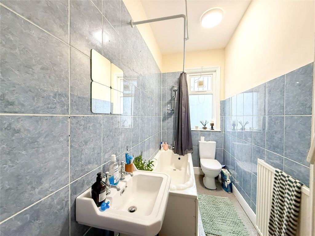
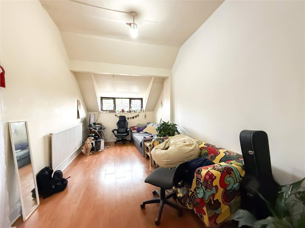
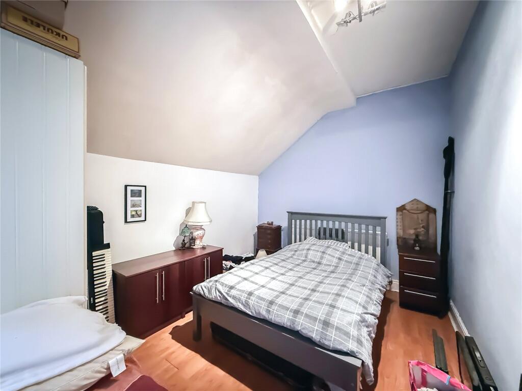
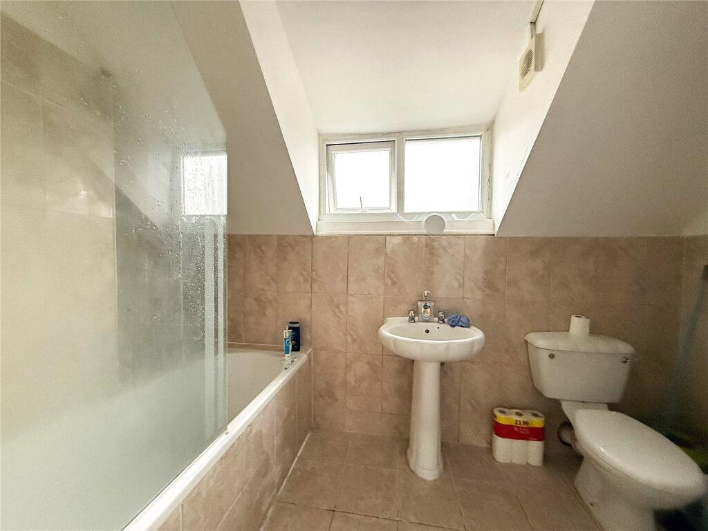
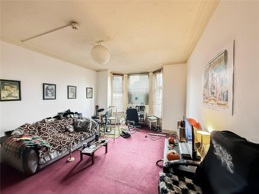
The upper floors of the development consists of two x two bed apartments, two x one bed apartments, all currently let out in their current condition, generating a combined monthly rental of £2,650 which could be potentially increased if upgrades or improvements are made.
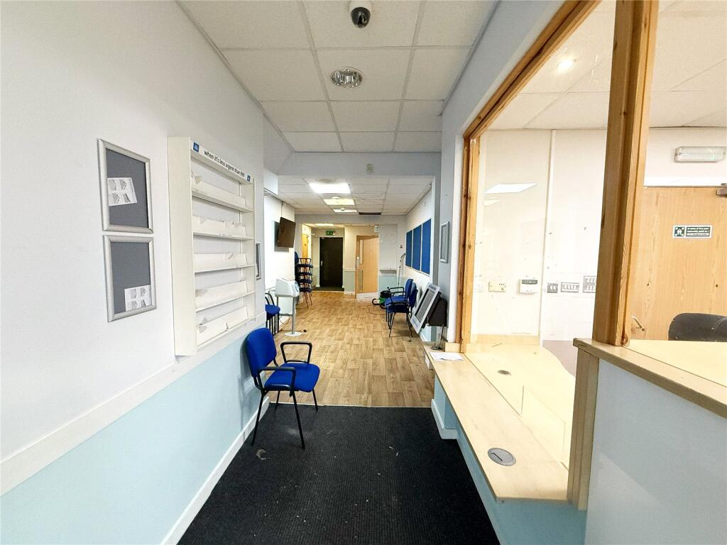
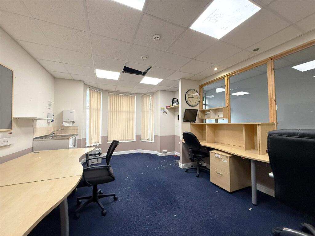
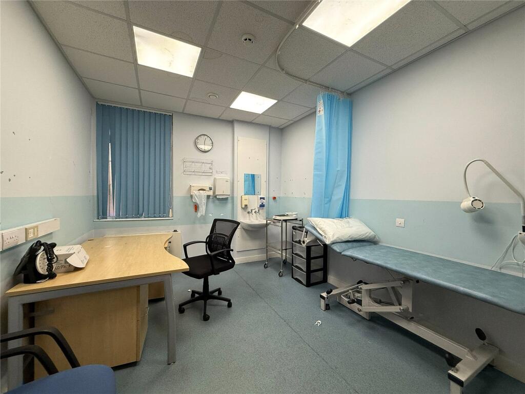
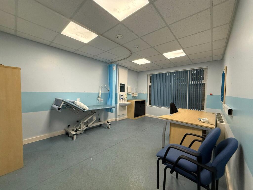
The commercial ground floor unit is currently vacant and was previously used as a doctors practice with access to the converted cellars, spanning the footprint of the property and achieving a yearly income of £33,000. There is full planning permission in place for the ground floor and basement levels to be converted into five self-contained flats (plans available on request).
Ground Floor - Commercial unit - Circa. 2091 Sq.Ft - EPC Rating 63C
First Floor (Circa. 1660 Sq.Ft) – Flats 7a & 9a - two x two bedroom apartments.
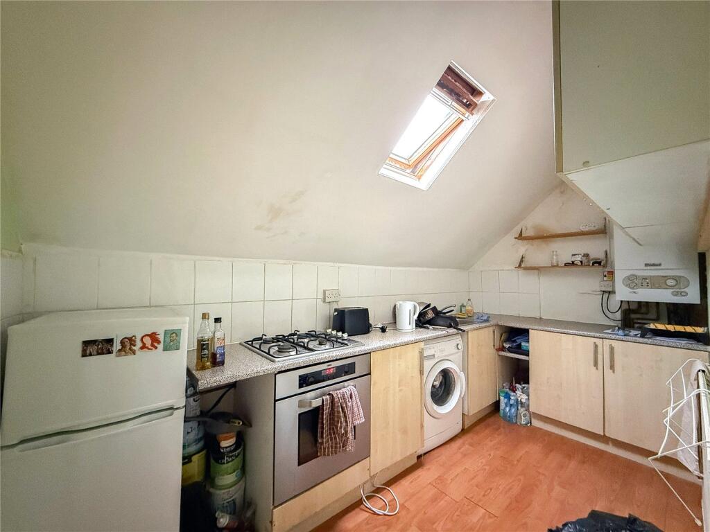
Second Floor (Circa. 1050 Sq.Ft) - Flats 7b & 9B -two x One bedroom apartment
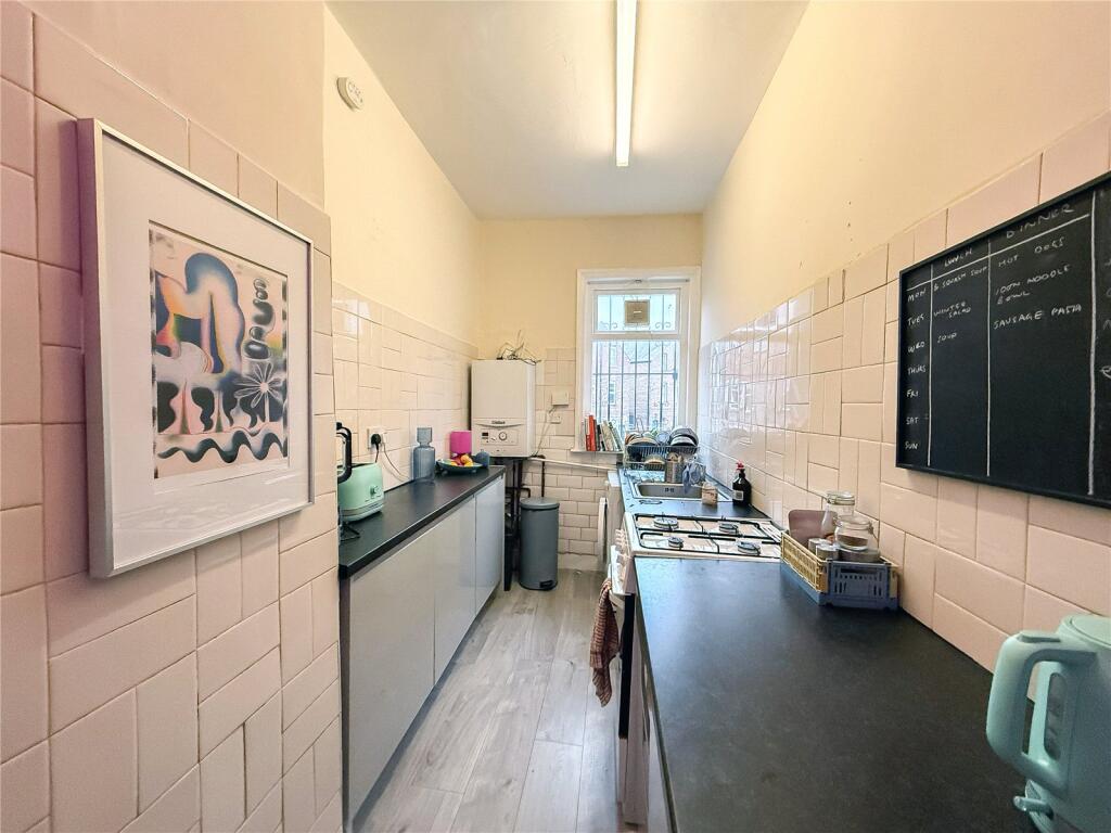
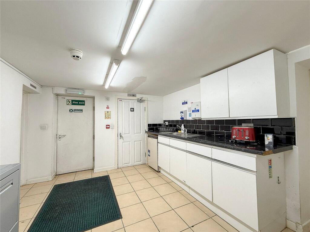
Cellars – kitchen, bathroom, staff room, meeting rooms and store rooms – Approx 1339 Sq.Ft
Additionally, there is residents' parking to the rear of the property, accessed via Wilbraham Road.
Freehold
Council Tax Band: A
Circa. 6140 Sq.Ft
Listed by
Didsbury
Philip James Partnership
Reference: 170337377
EPC ratings on this postcode
We don't have a matched EPC for this property yet. Below are efficiency scores and details for other addresses on this postcode.
| Address | Current | Potential | Floor area | Age band | Type |
|---|---|---|---|---|---|
| 11, Corkland Road | 1 | 76 | 281 m² | England and Wales: before 1900 | House |
| 11, Corkland Road, MANCHESTER | 1 | 76 | 281 m² | England and Wales: before 1900 | Detached |
| 15 Corkland Road | 57 | 86 | 32 m² | England and Wales: 1967-1975 | Bungalow |
| 15 Corkland Road, MANCHESTER | 57 | 86 | 32 m² | England and Wales: 1967-1975 | Detached |
| 15, Corkland Road | 67 | 71 | 33 m² | England and Wales: 1983-1990 | Flat |
| 15, Corkland Road, MANCHESTER | 67 | 71 | 33 m² | England and Wales: 1983-1990 | Flat |
| 25, Corkland Road | 46 | 48 | 154 m² | England and Wales: 1900-1929 | House |
| 25, Corkland Road | 55 | 58 | 197 m² | England and Wales: 1900-1929 | House |
| 29, Corkland Road | 41 | 76 | 197 m² | England and Wales: 1900-1929 | House |
| 29, Corkland Road | 44 | 73 | 250 m² | England and Wales: 1900-1929 | House |
| 29, Corkland Road, MANCHESTER | 44 | 73 | 250 m² | England and Wales: 1900-1929 | Detached |
| 29, Corkland Road, MANCHESTER | 41 | 76 | 197 m² | England and Wales: 1900-1929 | Detached |
| 3, Corkland Road | 57 | 69 | 226 m² | England and Wales: 1900-1929 | House |
| 3, Corkland Road, MANCHESTER | 57 | 69 | 226 m² | England and Wales: 1900-1929 | Detached |
| 3, Corkland Road, MANCHESTER | 57 | 69 | 226 m² | England and Wales: 1900-1929 | Detached |
Flood risk
Zone: 1
Risk: Low
Job (default Low)
Floorplans
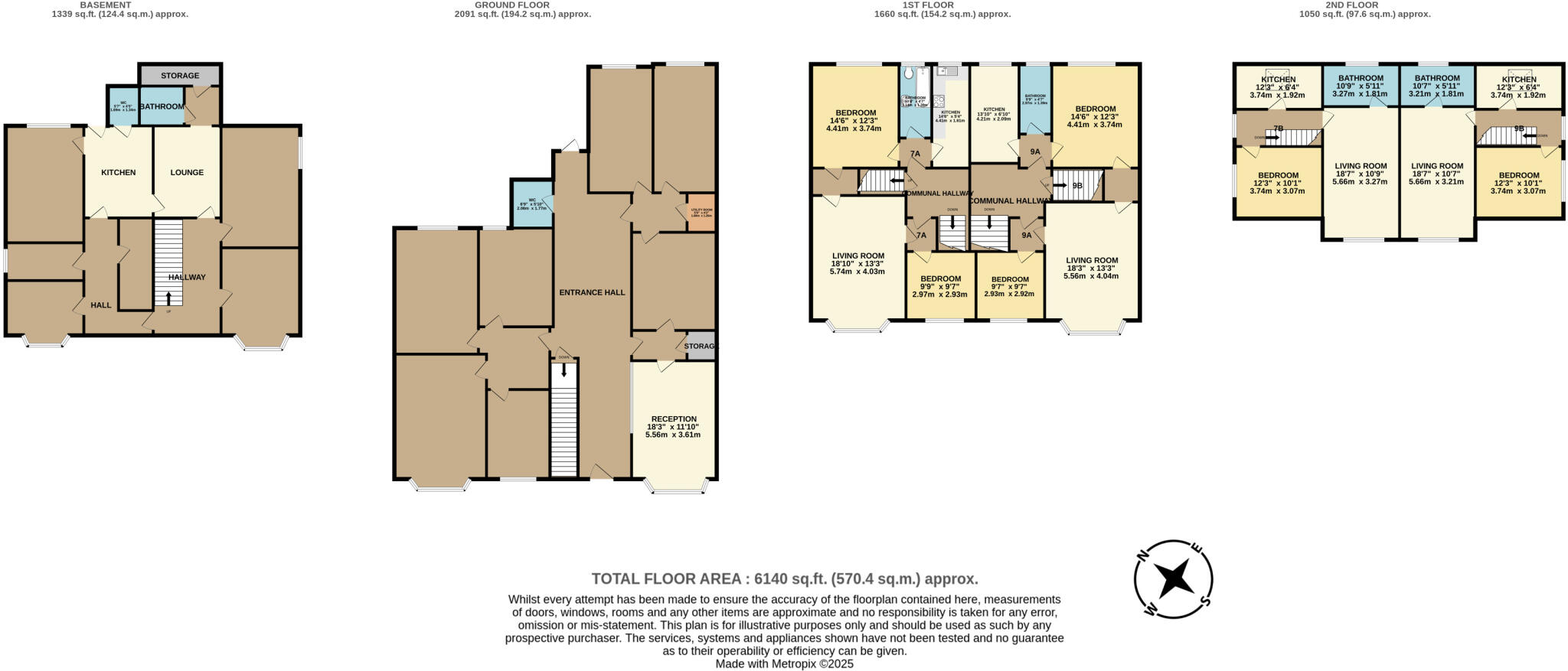
Floorplan
Price history
| Event | Date | Price | % change |
|---|---|---|---|
| Listed for sale | — | £1,600,000 | — |
Source: HM Land Registry Price Paid Data. Crown copyright.
Sold Comparables
Same street and nearby sales within 0.25 miles (last 5 years). Data from Land Registry Price Paid.
| Address | Price | Date | Type |
|---|---|---|---|
| Same street 31 CORKLAND ROAD, MANCHESTER, GREATER MANCHESTER, M21 8UP | £1,070,000 | 18/11/2025 | Detached |
| 535 FLAT WILBRAHAM ROAD, MANCHESTER, GREATER MANCHESTER, M21 0UE | £520,000 | 01/04/2022 | Other |
Street average: £1,070,000 (1 sale)
Area average: £520,000 (1 sale)
Capital growth trend
House Price Index (HM Land Registry — official index, not sold-price averages): Manchester. Series: All dwelling types. As of February 2026.
Rental Range
Estimated market rent for Manchester. Low = conservative, Realistic = average, Optimistic = best case.
Based on Local Authority from postcode lookup → Manchester.
LHA (30th percentile) floor for West Pennine: £760/mo (Apr 2025 – Mar 2026)
Location
Address
Corkland Road
Nearby
Nearest stations, universities and amenities (distance from property).
| Type | Name | Distance |
|---|---|---|
| Shop | Blue Apple Printing | 0.0 miles |
| Shop | Close | 0.0 miles |
| Bus stop | Chorlton, Wilbraham Road / Chorlton Metrolink Stop | 0.0 miles |
| Bus stop | Chorlton, Wilbraham Road / Chorlton Post Office (Stop E) | 0.1 miles |
| University | University Academy 92 | 1.2 miles |
| Hospital | Spire Manchester Hospital | 1.5 miles |
| Hospital | Withington Community Hospital | 1.6 miles |
| Train station | Trafford Park | 1.8 miles |
| University | University of Manchester | 1.9 miles |
| Train station | Humphrey Park | 2.3 miles |
Street-level crime
| Category | Count |
|---|---|
| Total incidents | 0 |
Within 1 mile during Mar 2026. Source: data.police.uk (England & Wales).
Schools nearby
Nearest open schools with Ofsted ratings (England). Closed schools are not shown. Data from Get Information about Schools and Ofsted.
| Name | Type | Distance | Ofsted |
|---|---|---|---|
| Manchester Islamic Grammar School for Girls | Other | 0.3 miles | Outstanding — 3 Apr 2019 |
| Oswald Road Primary School | Primary | 0.3 miles | Good — 18 Oct 2018 |
| Chorlton CofE Primary School | Primary | 0.4 miles | — (Inspected (no overall grade)) |
| St John's RC Primary School | Primary | 0.5 miles | Good — 6 Nov 2019 |
| Brookburn Community School | Primary | 0.6 miles | Good — 25 Apr 2024 |
Rental Comparables
Loading rental comparables for this postcode. Refresh in a few minutes.
Rent-driven metrics
Based on Area rent estimate.
- Rent ratio — Monthly rent ÷ purchase price (1% rule). 1%+ = strong, 0.8–1% = okay, <0.8% = weak for cashflow.
- Max investor price — Rent ÷ 0.8%; the price at which rent would be 0.8% of price (Stoke-style target).
- Target investor price — Rent ÷ 1%; the price at which rent would be 1% of price (strong cashflow band).
- Gross yield — Annual rent as % of purchase price (no costs).
Enter House Number
Enter the house number to help us retrieve more accurate pricing history and property data.
Please log in to submit or correct the house number for this listing.
Log in to continue