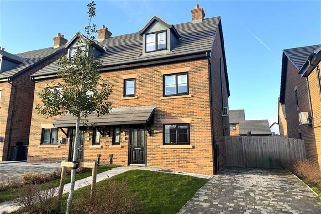
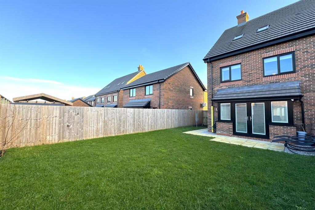
13 HAMMAN DRIVE
KNUTSFORD, CHESHIRE EAST WA16 8FN
£2,200 pcm

Property details
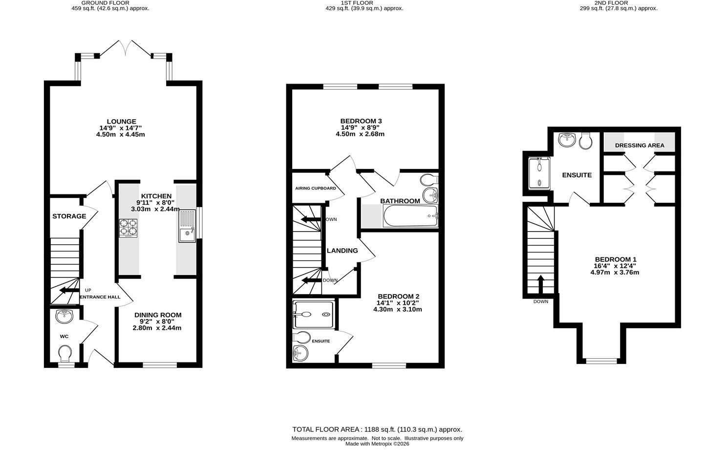
Floor area
113 m²
Council tax band
D
Deprivation
Decile 8 (25,909 of 33,755)
Street crime
34 incidents within 1 mile (Apr 2026)
Key features
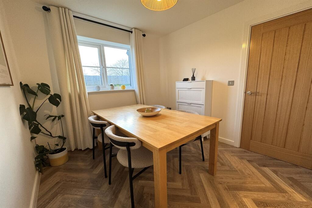
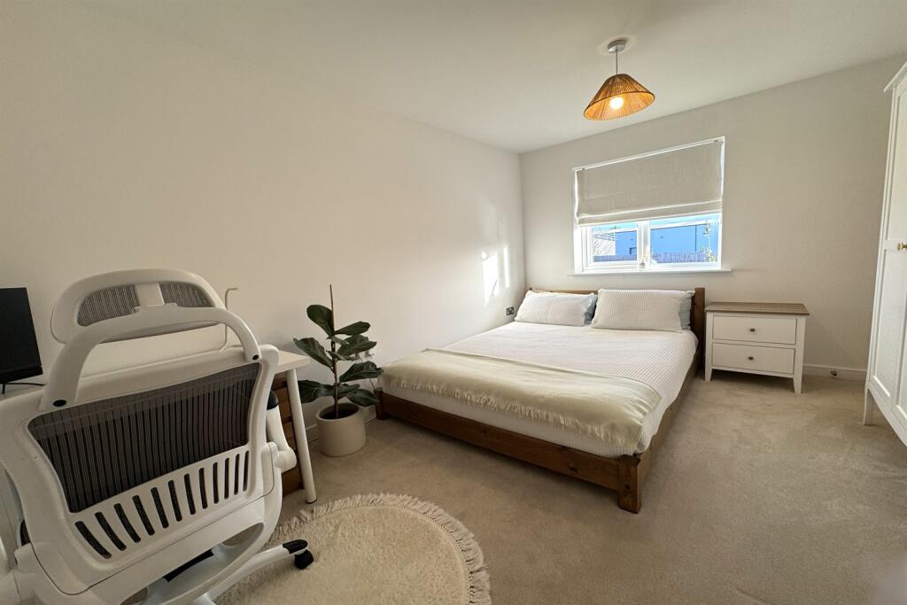
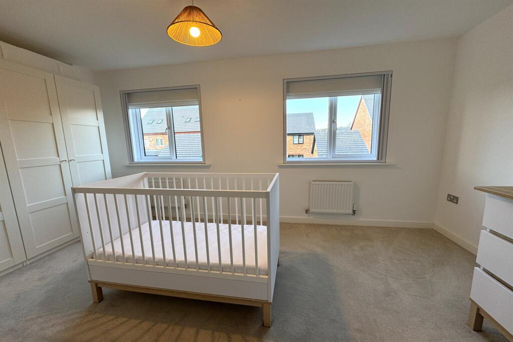
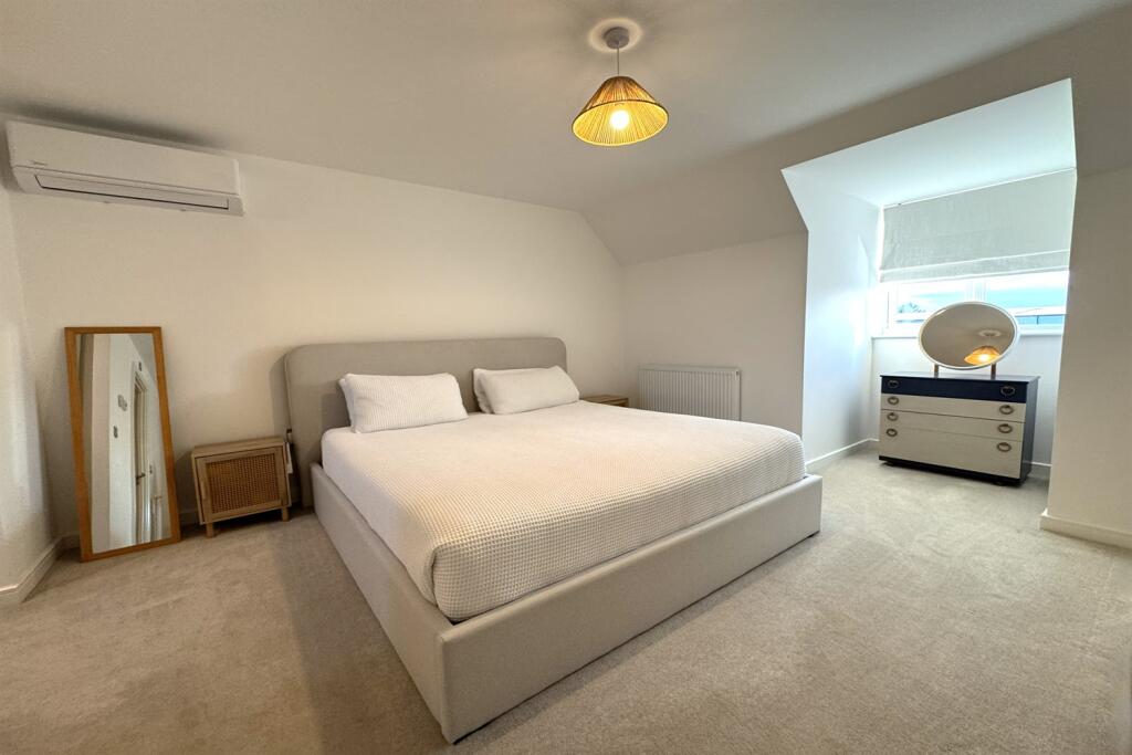
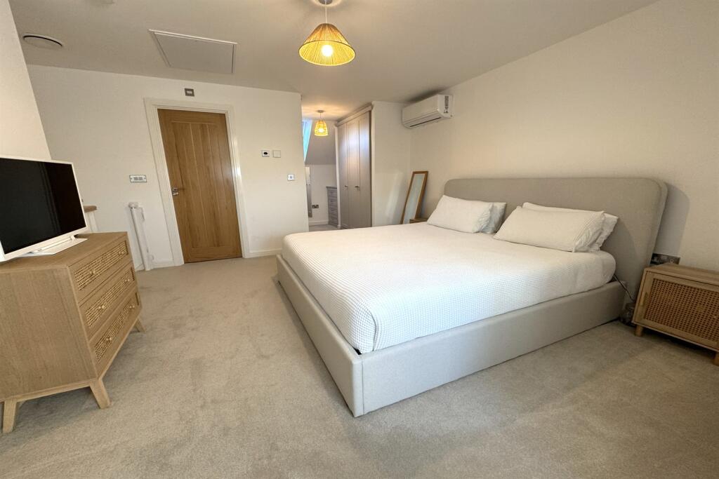
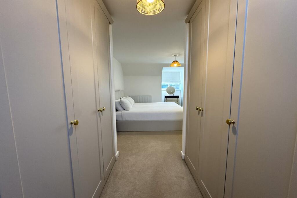
- Three double bedrooms
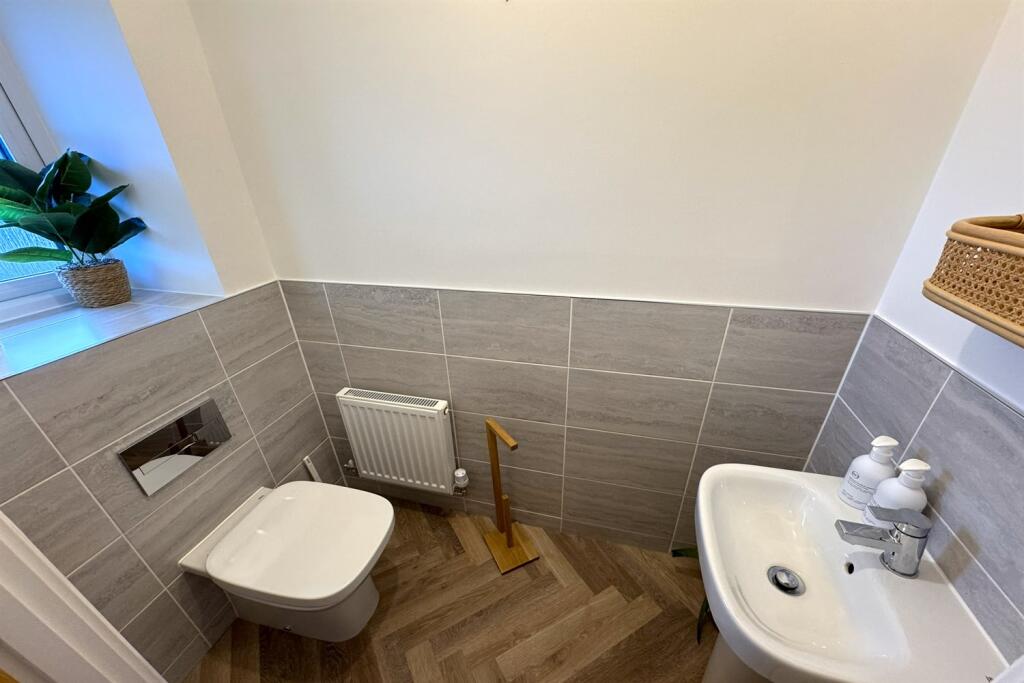
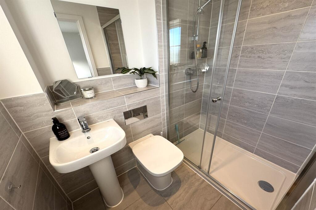
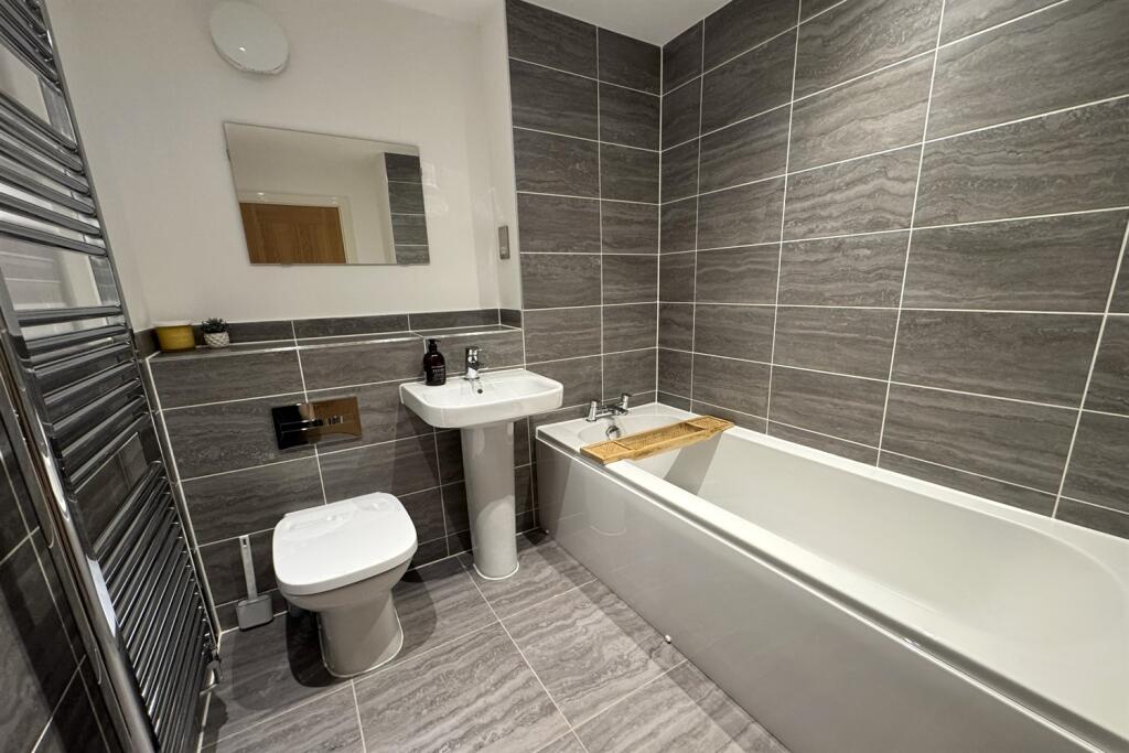
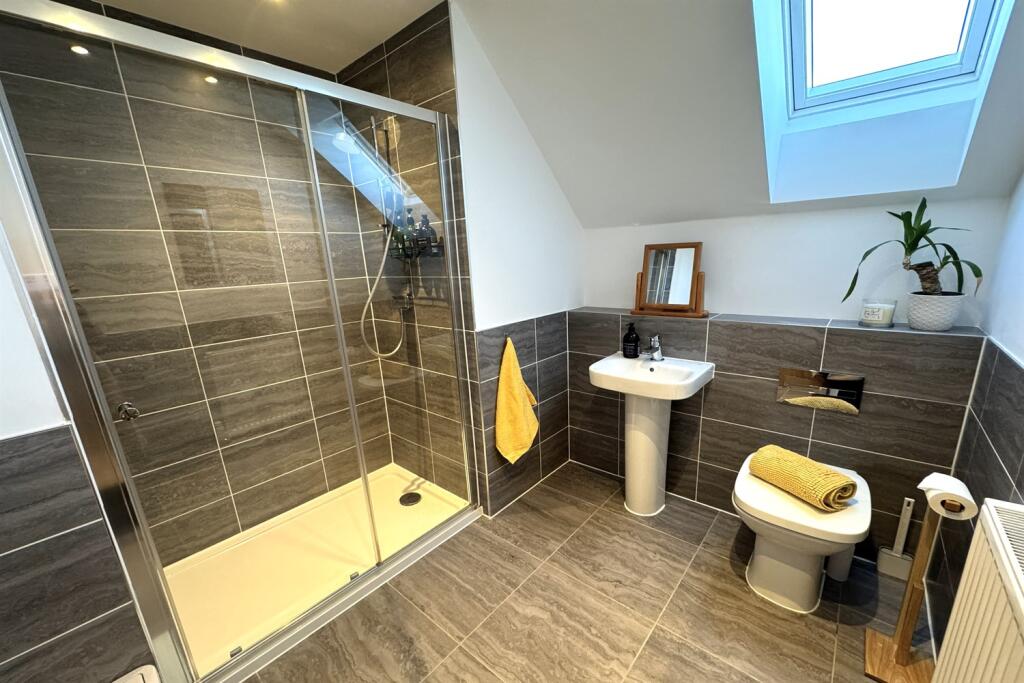
- Family bathroom, two en-suites and ground floor WC
- Off road parking
- EV charging point
- Air conditioning to the second floor
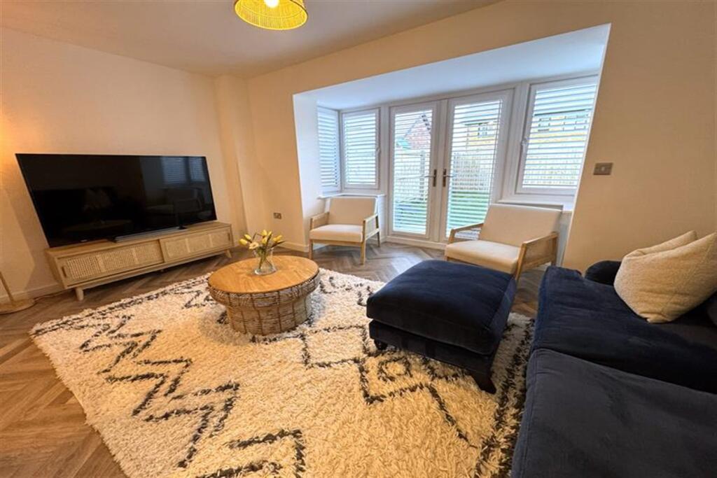
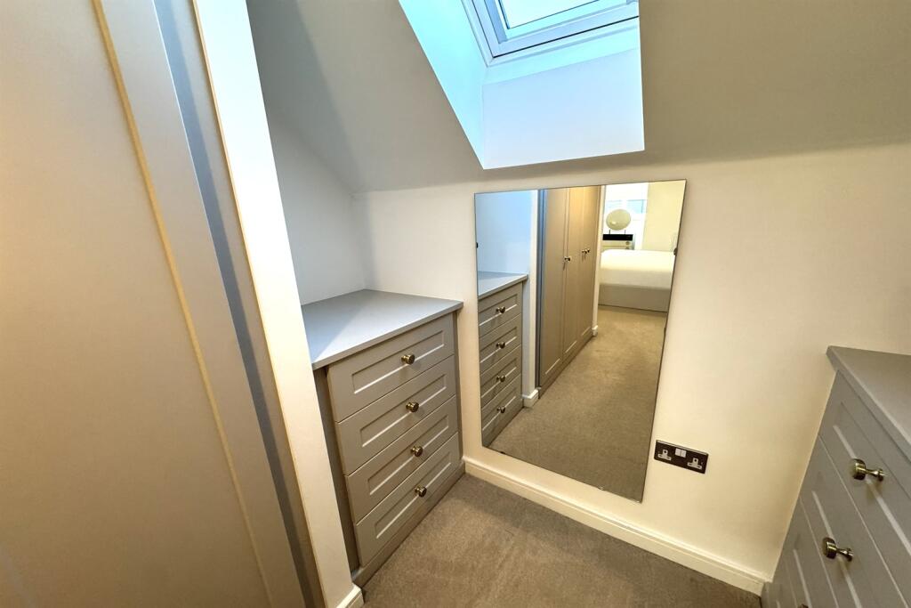
- Furnished
Additional details
- Electricity
- Mains supply
- Water
- Mains supply
- Sewerage
- Mains supply
- Heating
- Gas
- Parking
- Yes
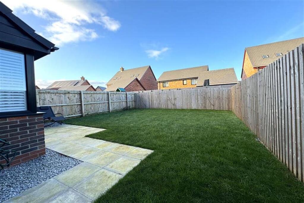
- Garden
- Yes
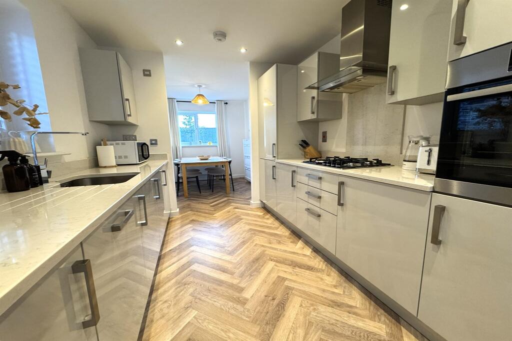
Description
Listed by
Knutsford
Gascoigne Halman - Connells
Reference: 170997698
EPC Rating & Upgrade Cost
Fetching EPC data… Refresh this page in a moment.
Flood risk
Zone: 1
Risk: Low
Job (default Low)
Floorplans
Other
EPC Graphs

EPC Graph
Rental Range
Estimated market rent for Cheshire East. Low = conservative, Realistic = average, Optimistic = best case.
Based on Local Authority from postcode lookup → Cheshire East.
LHA (30th percentile) floor for East Lancs: £593/mo (Apr 2025 – Mar 2026)
Location
Nearby
Nearest stations, universities and amenities (distance from property).
| Type | Name | Distance |
|---|---|---|
| Bus stop | Shaw Heath, Mobberley Road / Post Office | 0.3 miles |
| Shop | Unknown | 0.3 miles |
| Train station | Knutsford | 1.1 miles |
| Train station | Mobberley | 1.4 miles |
| Hospital | Altrincham Hospital | 4.9 miles |
| Hospital | Altrincham Health and Wellbeing Centre | 5.0 miles |
| University | University of Chester - Warrington Campus | 10.6 miles |
| University | Fallowfield Reception and Richmond Amenities Building | 10.8 miles |
Street-level crime
| Category | Count |
|---|---|
| Violence and sexual offences | 22 |
| Public order | 4 |
| Anti-social behaviour | 2 |
| Criminal damage and arson | 2 |
| Drugs | 1 |
| Other theft | 1 |
| Shoplifting | 1 |
| Vehicle crime | 1 |
| Total incidents | 34 |
Within 1 mile during Apr 2026. Source: data.police.uk (England & Wales).
Schools nearby
Nearest open schools with Ofsted ratings (England). Closed schools are not shown. Data from Get Information about Schools and Ofsted.
| Name | Type | Distance | Ofsted |
|---|---|---|---|
| Adelaide Heath Academy | Other | 0.6 miles | Good — 24 Jul 2024 |
| Manor Park Primary School and Nursery | Primary | 0.7 miles | Good — 13 Sep 2023 |
| St Vincent De Paul Catholic Primary School | Primary | 0.8 miles | Good — 6 Jun 2013 |
| Egerton Primary School | Primary | 1.1 miles | Good — 13 Feb 2023 |
| Knutsford Academy | Secondary | 1.4 miles | Good — 25 Nov 2011 |
Rental Comparables
Loading rental comparables for this postcode. Refresh in a few minutes.