ST5 6PG
ST5 6PG
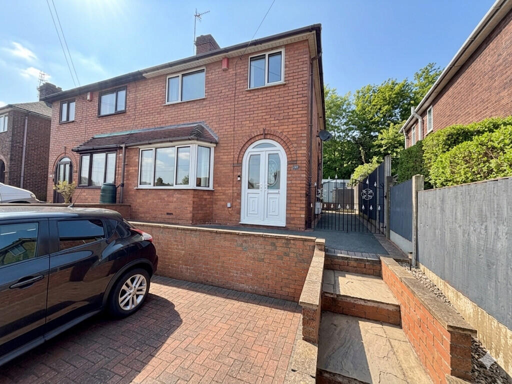
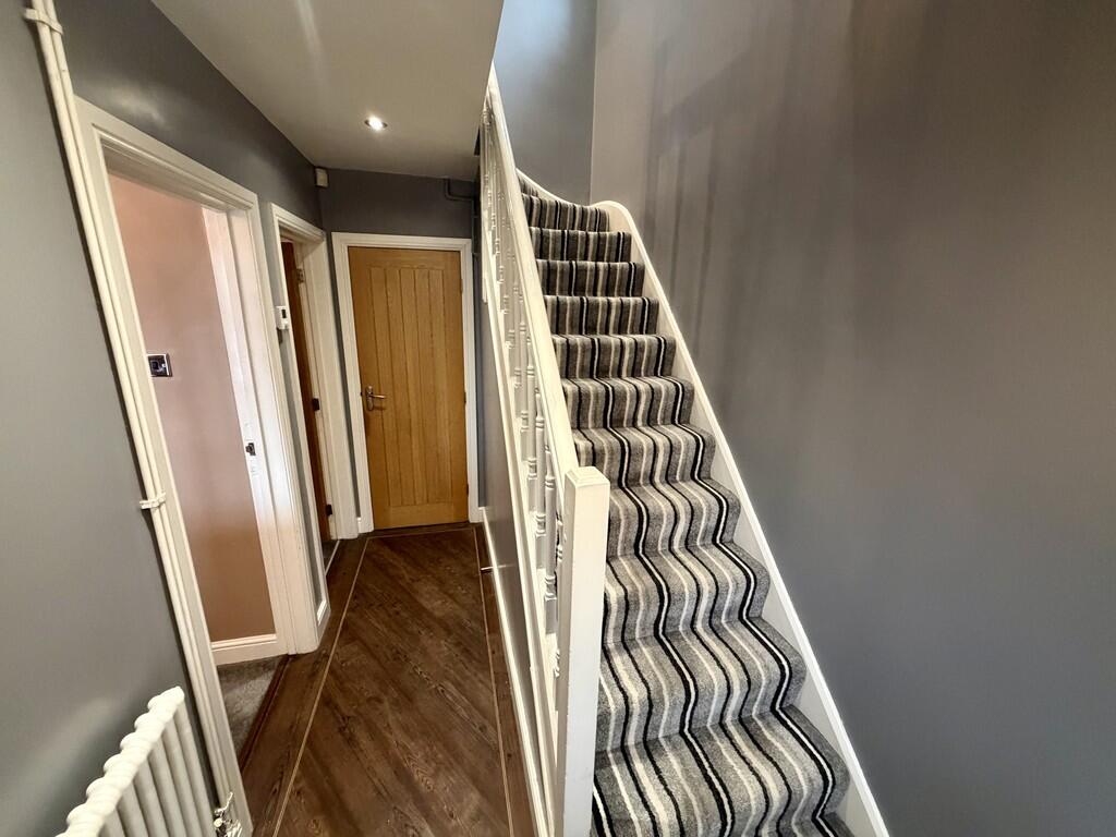
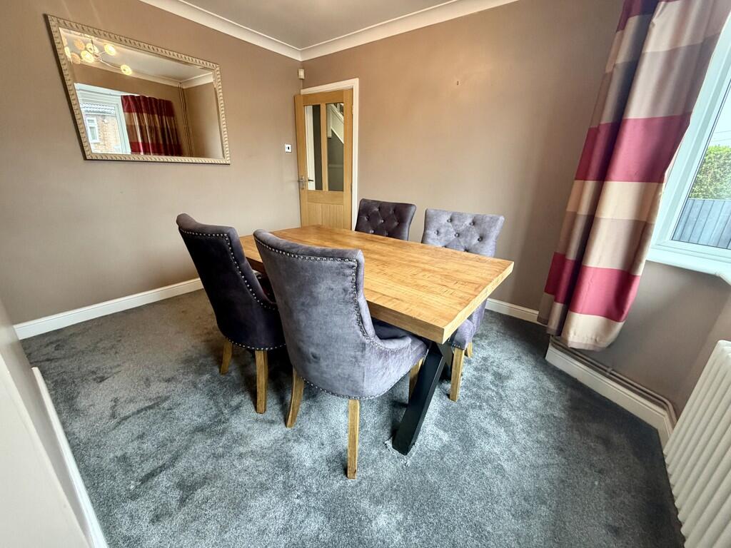
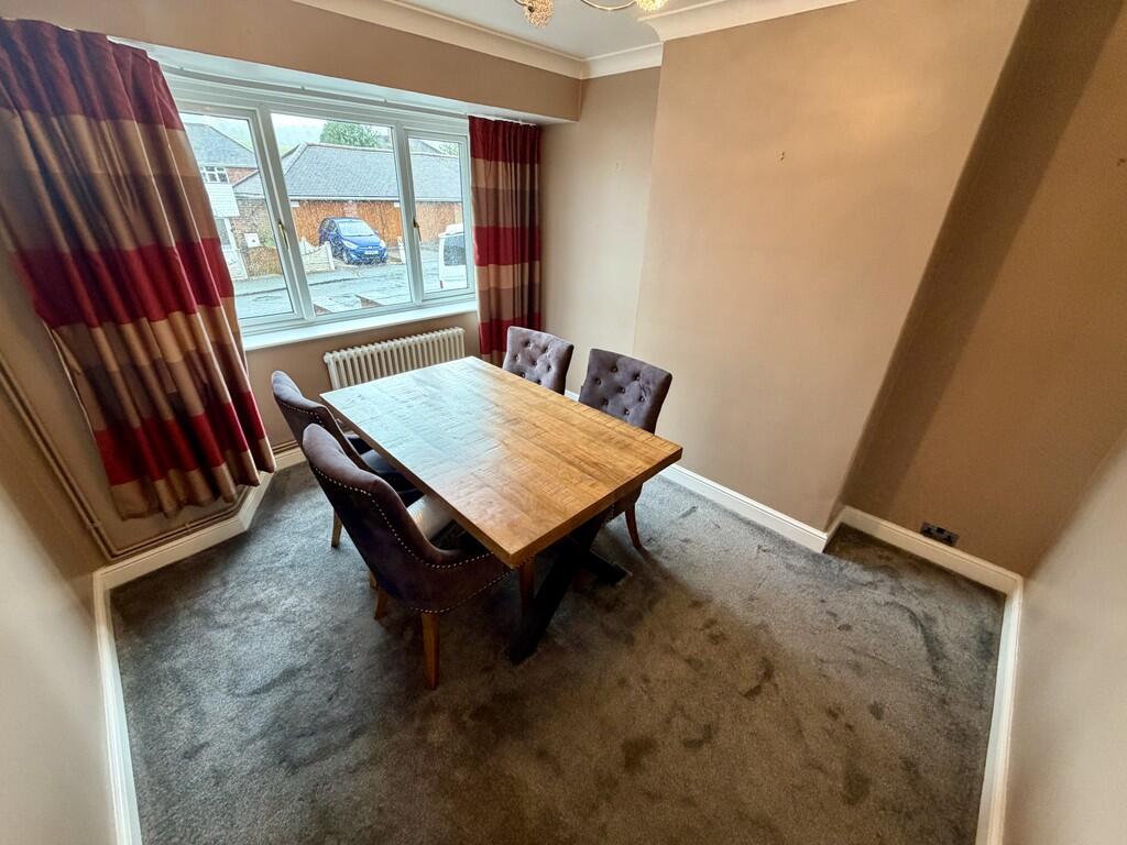
Photo 1 Photo 2 Photo 3 Photo 4 Photo 5 Photo 6 Photo 7 Photo 8 Photo 9 Photo 10 Photo 11 Photo 12 Photo 13 Photo 14 Photo 15 Photo 16
/ 16
Property details
Floor area
85 m²
Council tax band
B
Deprivation
Decile 5 (14,050 of 33,755)
Flood risk
Zone: 1
Risk: Low
Not in Flood Risk Area (no data)
Rental Range
Estimated market rent for Newcastle-under-Lyme. Low = conservative, Realistic = average, Optimistic = best case.
Based on Local Authority from postcode lookup → Newcastle-under-Lyme.
LHA (30th percentile) floor for Staffordshire North: £593/mo (Apr 2025 – Mar 2026)
Location
Nearby
Nearest stations, universities and amenities (distance from property).
| Type | Name | Distance |
|---|---|---|
| Shop | Spinney Caravans & Motorhomes | 0.1 miles |
| Bus stop | Newcastle Road | 0.1 miles |
| Bus stop | Mill Street | 0.1 miles |
| Shop | Garners Garden Centre | 0.3 miles |
| University | Keele University | 1.2 miles |
| Train station | Silverdale | 1.2 miles |
| Train station | Apedale Road | 1.4 miles |
| Hospital | Bradwell Hospital | 1.8 miles |
| Hospital | Hartshill Medical Centre | 2.1 miles |
| University | University of Staffordshire Stoke Campus | 3.3 miles |
Street-level crime
Crime data is not yet available for this property.
Rental Comparables
Residential lets from OpenRent and Rightmove for the area (same bedroom count). Use to validate rent estimates. Student lets are excluded.
Average rent: £948/mo (37 listings)