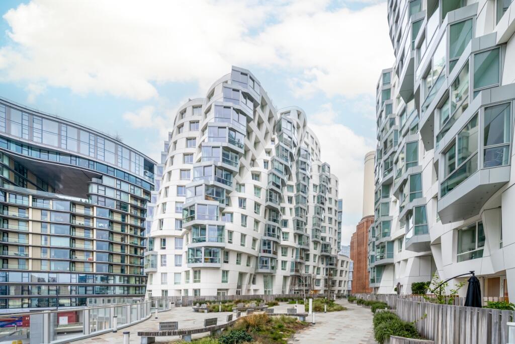
APARTMENT 503
PICO HOUSE, 2, PROSPECT WAY, LONDON, GREATER LONDON SW11 8DL
£7,800 pcm
703-Pico-House-25 503-Pico-House-1 503-Pico-House-2 503-Pico-House-4 503-Pico-House-7 503-Pico-House-5 503-Pico-House-6 503-Pico-House-8 503-Pico-House-9 503-Pico-House-10 503-Pico-House-11 503-Pico-House-12 503-Pico-House-14 503-Pico-House-15 503-Pico-House-16 503-Pico-House-17 503-Pico-House-18 503-Pico-House-19 503-Pico-House-21 503-Pico-House-22
/ 20
Property details
Street crime
1088 incidents within 1 mile (Apr 2026)
Key features
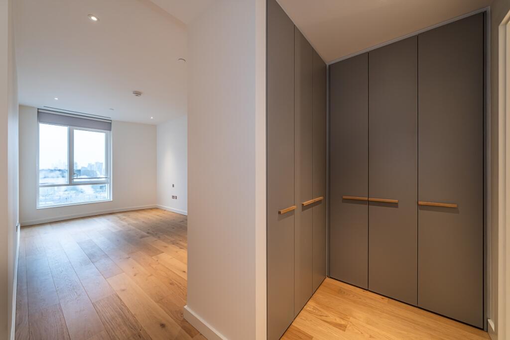
- Unfurnished
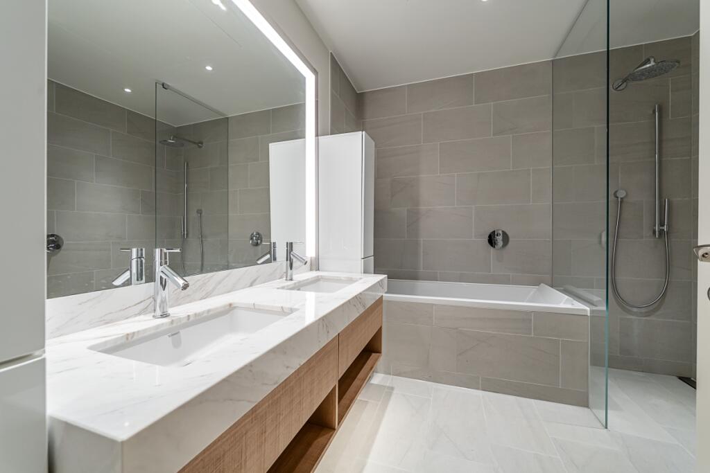
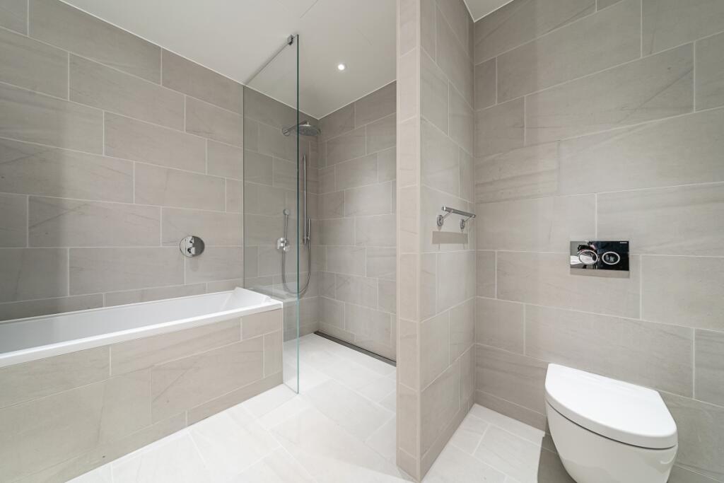
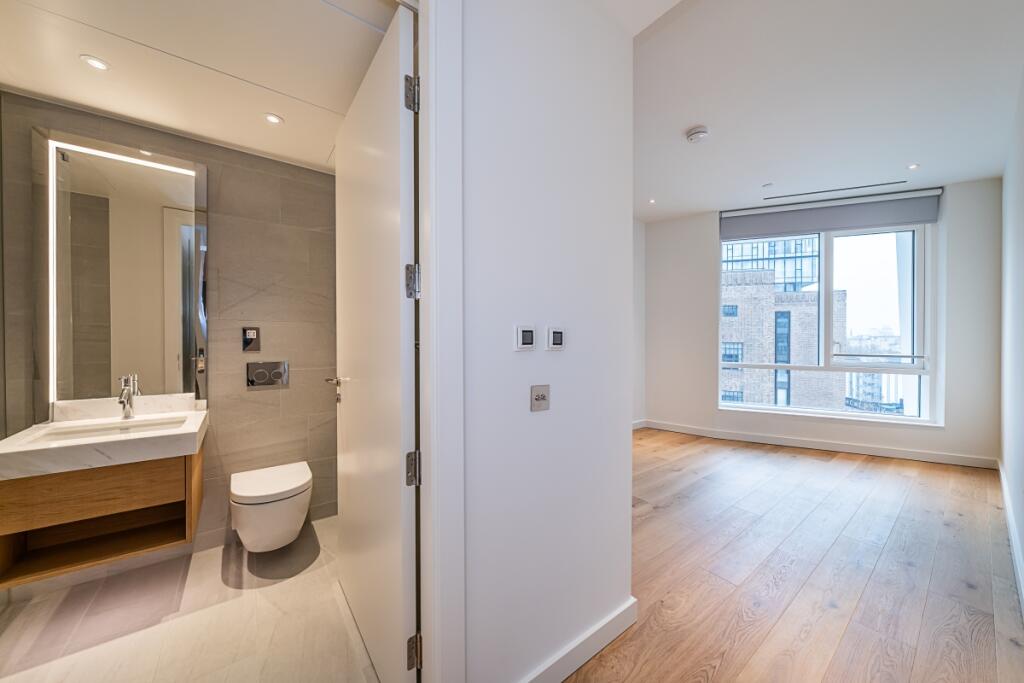
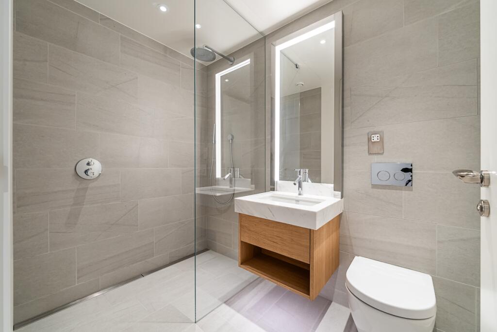
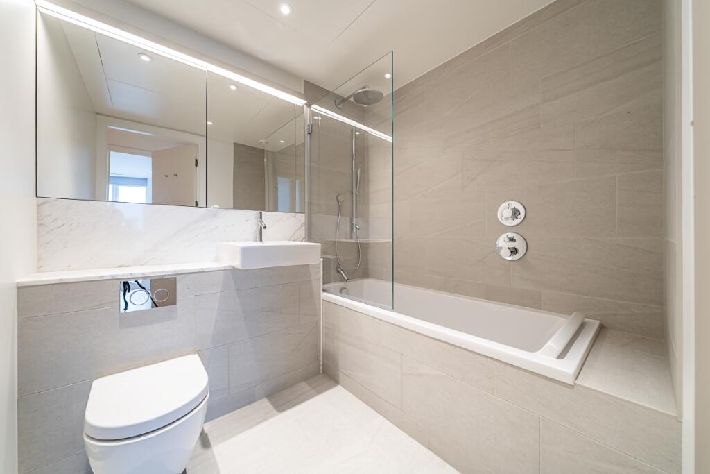
- Three bathrooms
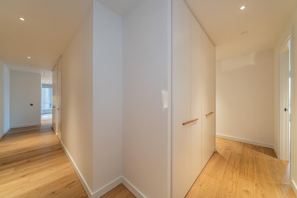
- Plenty of storage
- Battersea Power Station
- Concierge
- Parking
Additional details
- Parking
- Yes
- Garden
- Yes
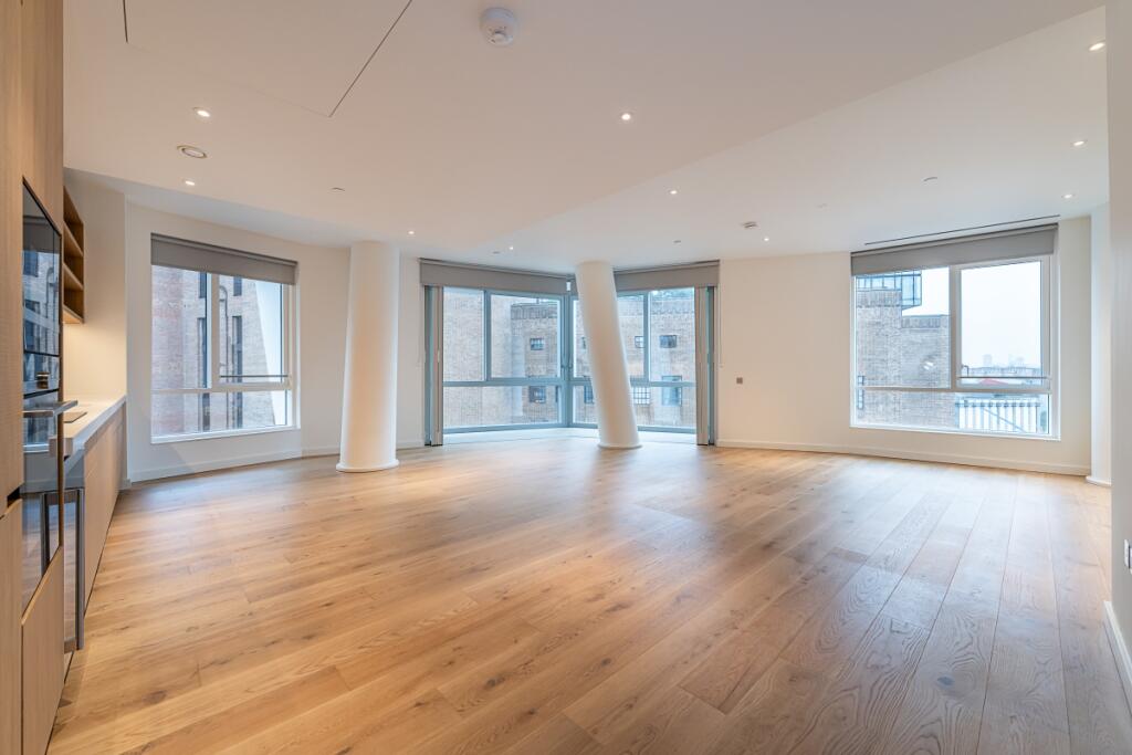
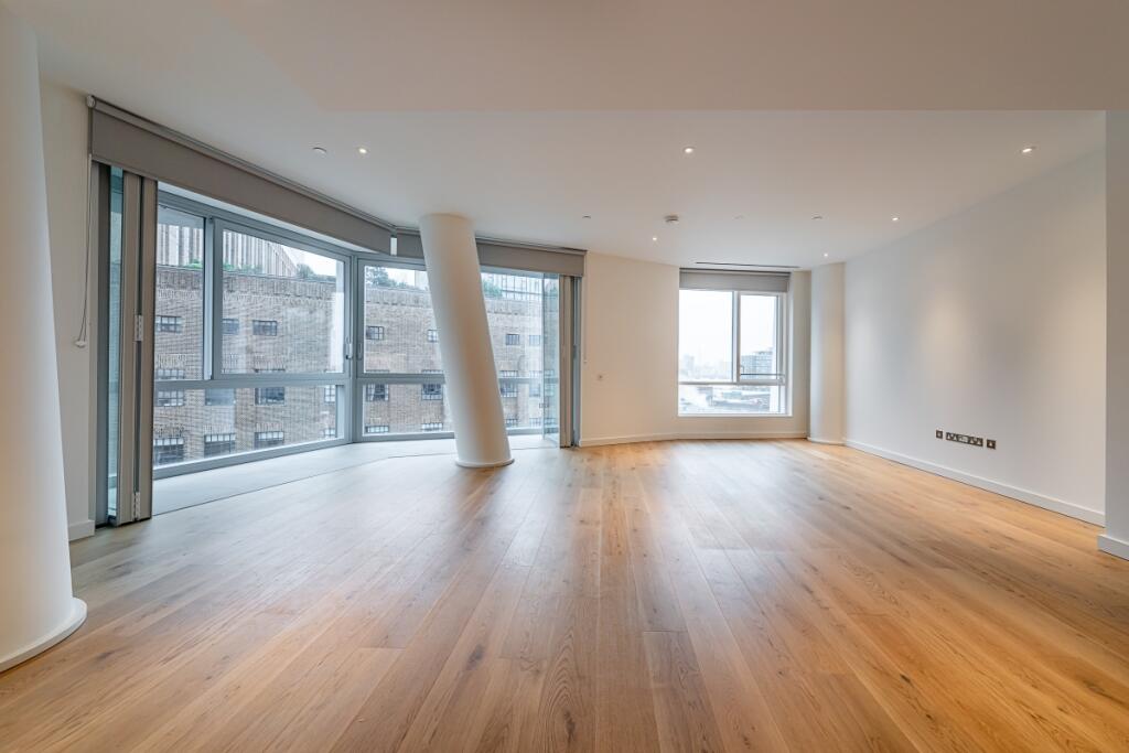
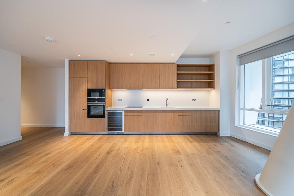
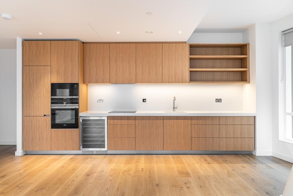
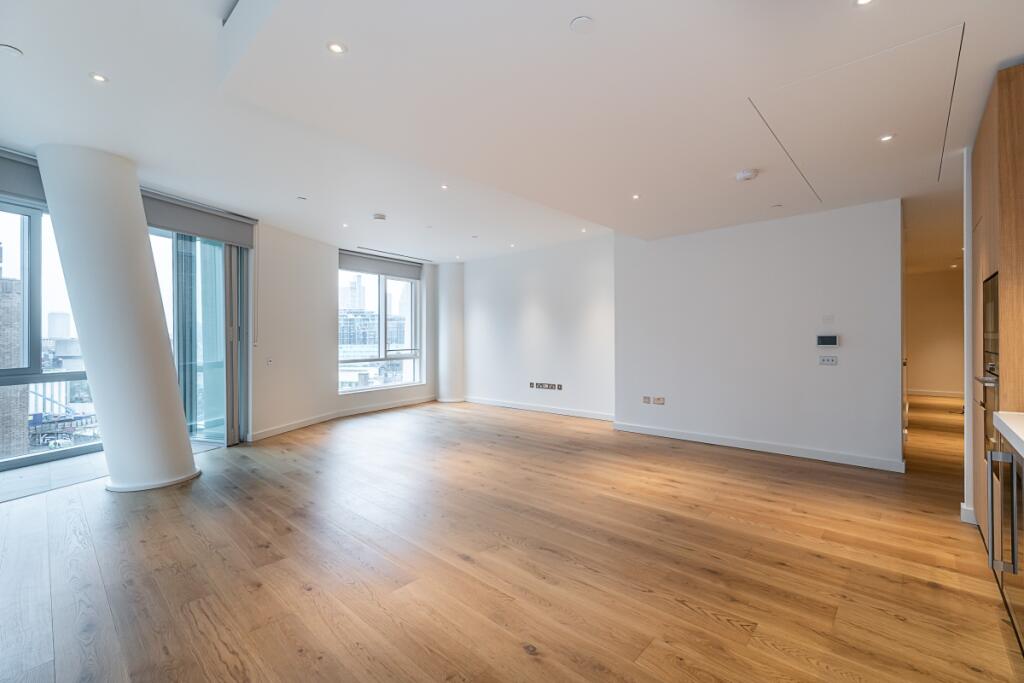
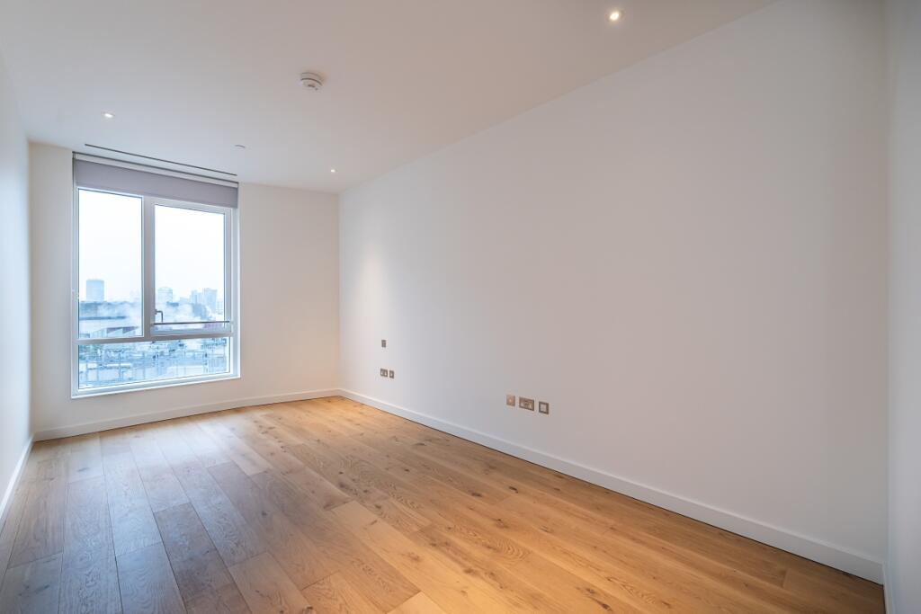
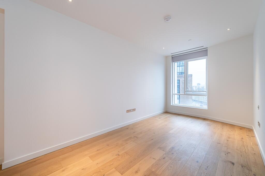
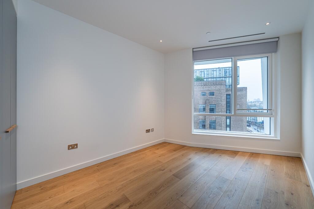
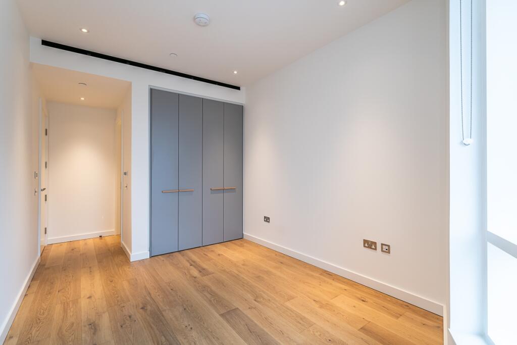
Description
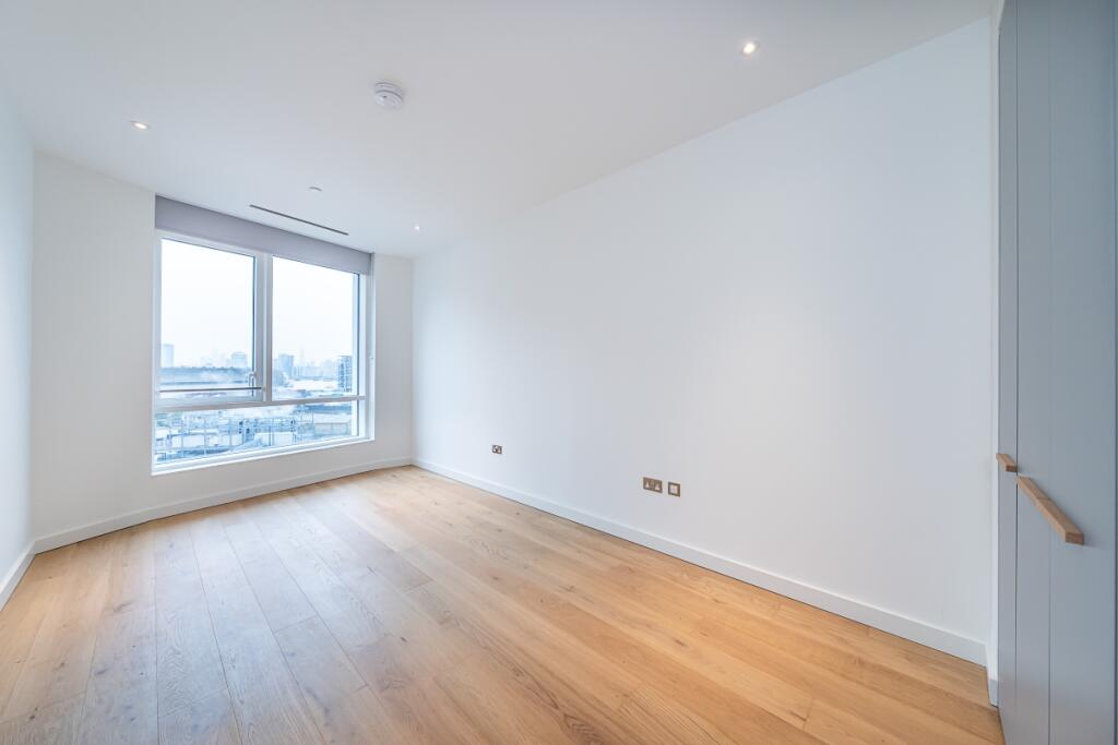
Finished to a high standard throughout, the apartment has a heating and cooling system in the living room and bedrooms and underfloor heating in the bathrooms.
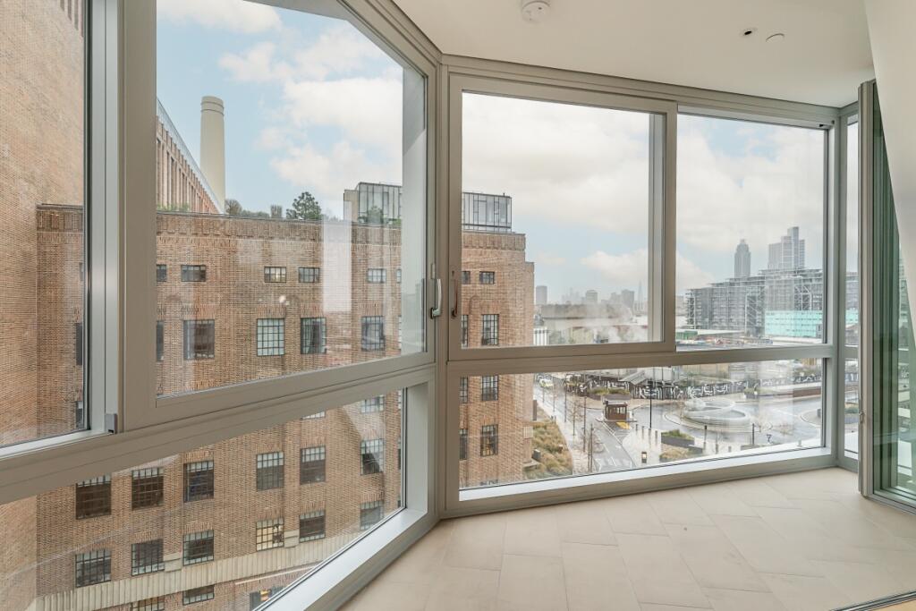
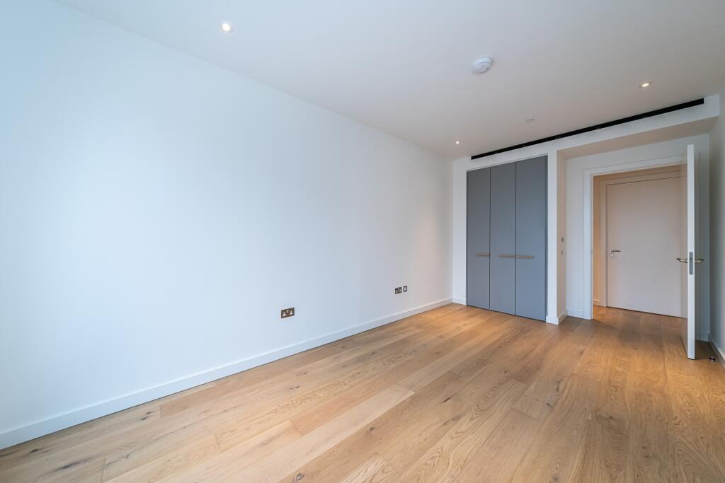
Offering three double bedrooms, with built in wardrobes, the main bedroom has a walk in wardrobe and an en-suite. Three bathrooms in total, open plan kitchen/ dining room and a winter garden. To check broadband and mobile phone coverage please visit Ofcom here ofcom.org.uk/phones-telecoms-and-internet/advice-for-consumers/advice/ofcom-checker
Listed by
Battersea & Wandsworth
Countrywide Hamptons Lettings - Connells
Reference: 158840585
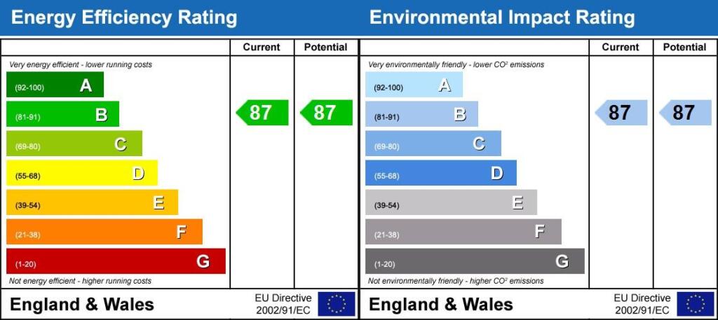
EPC Rating & Upgrade Cost
Fetching EPC data… Refresh this page in a moment.
Flood risk
Zone: 1
Risk: Low
Job (default Low)
Floorplans
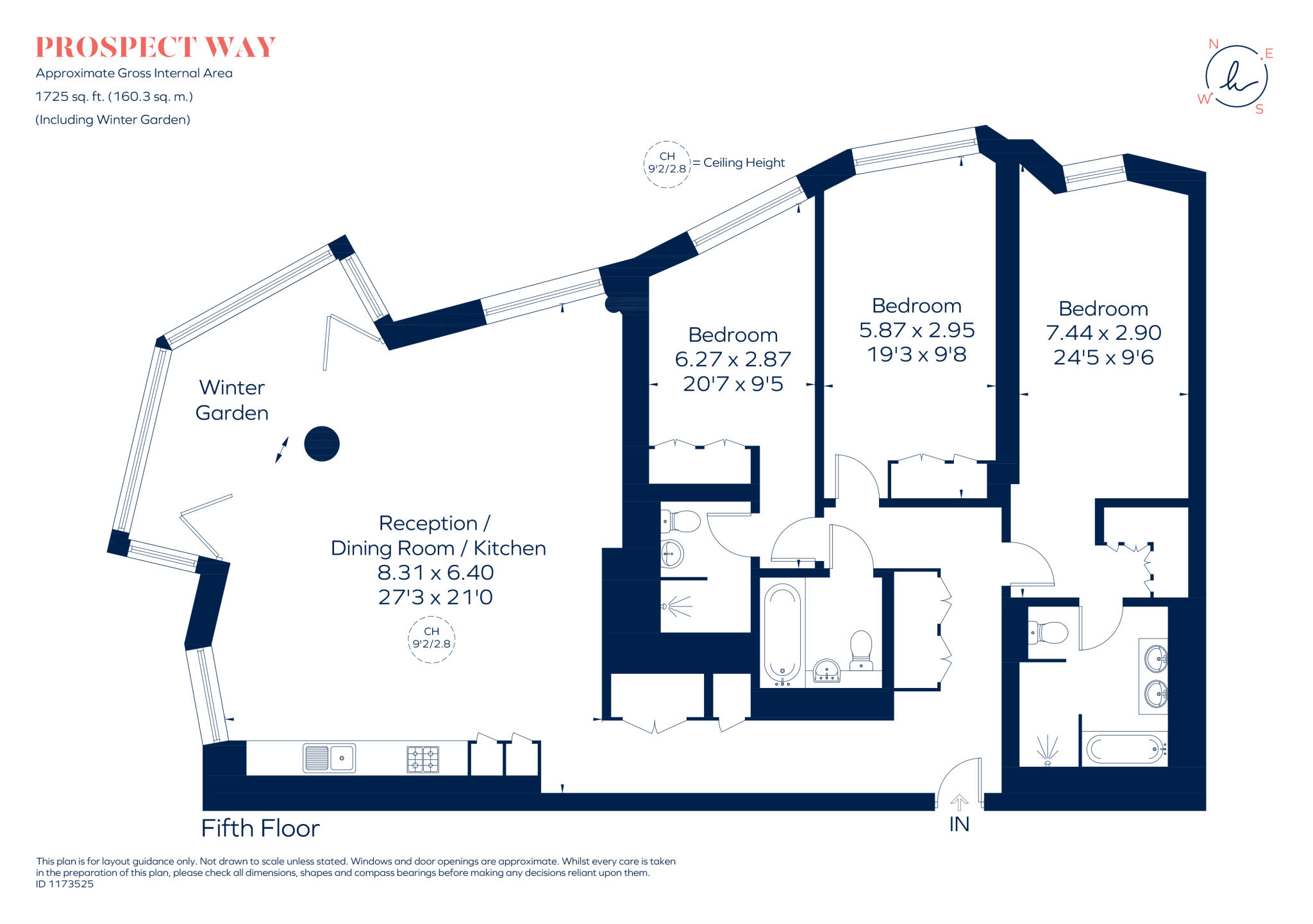
Final_1173525_503...
EPC Graphs
Energy Performanc...
Rental Range
Estimated market rent for London. Low = conservative, Realistic = average, Optimistic = best case.
Based on Postcode area SW → London.
LHA (30th percentile) floor for Stevenage & North Herts: £1,247/mo (Apr 2025 – Mar 2026)
Location
Address
5 Prospect Way
Nearby
Nearest stations, universities and amenities (distance from property).
| Type | Name | Distance |
|---|---|---|
| Shop | Zara | 0.0 miles |
| Shop | M&S Foodhall | 0.0 miles |
| Train station | Battersea Power Station | 0.1 miles |
| Bus stop | Battersea Power Station | 0.1 miles |
| Train station | Battersea Park | 0.3 miles |
| Hospital | Bridge Lane Health Centre | 1.1 miles |
| University | National Heart and Lung Institute | 1.2 miles |
| University | University of Wales Trinity Saint David London Campus | 1.5 miles |
| Hospital | Dental Hospital | 2.3 miles |
Street-level crime
| Category | Count |
|---|---|
| Anti-social behaviour | 257 |
| Violence and sexual offences | 198 |
| Theft from the person | 117 |
| Shoplifting | 115 |
| Other theft | 94 |
| Burglary | 57 |
| Public order | 55 |
| Robbery | 49 |
| Criminal damage and arson | 42 |
| Vehicle crime | 37 |
| Bicycle theft | 29 |
| Drugs | 25 |
| Other crime | 10 |
| Possession of weapons | 3 |
| Total incidents | 1088 |
Within 1 mile during Apr 2026. Source: data.police.uk (England & Wales).
Schools nearby
Nearest open schools with Ofsted ratings (England). Closed schools are not shown. Data from Get Information about Schools and Ofsted.
| Name | Type | Distance | Ofsted |
|---|---|---|---|
| Newton Preparatory School | Other | 0.3 miles | — (No rating) |
| St Mary's RC Voluntary Aided Primary School | Primary | 0.3 miles | Good — 13 Jul 2023 |
| St George's CofE Primary School | Primary | 0.3 miles | Good — 11 Feb 2019 |
| St Gabriel's CofE Primary School | Primary | 0.4 miles | Good — 31 Mar 2014 |
| Griffin Primary School | Primary | 0.5 miles | Requires improvement — 18 Jan 2024 |
Rental Comparables
Residential lets from OpenRent and Rightmove for the area (same bedroom count). Use to validate rent estimates. Student lets are excluded.
| Title | Rent | Beds | Distance | As seen on |
|---|---|---|---|---|
| 3 Bed Flat, Lanchester Way, SW11 | £4,680/mo | 3 | 0.39 miles | OpenRent |
Average rent: £4,680/mo (1 listing)