86 LIVINGSTONE STREET
LEICESTER, LEICESTER LE3 0QY
£595 pcm
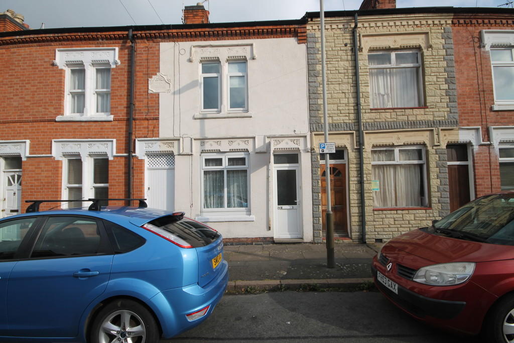
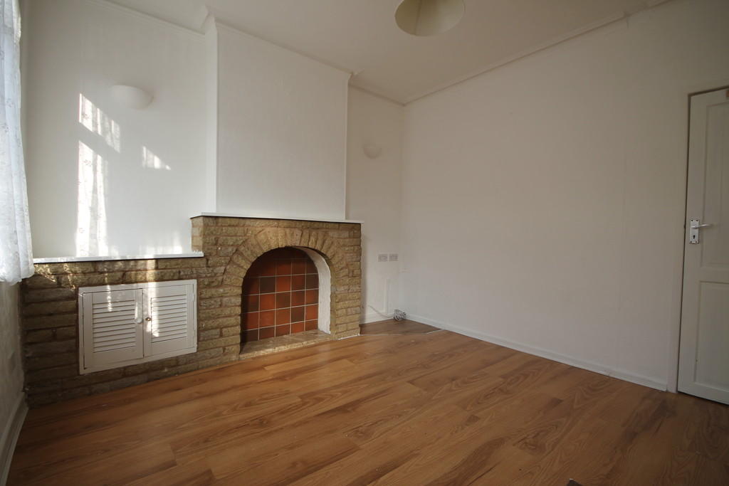
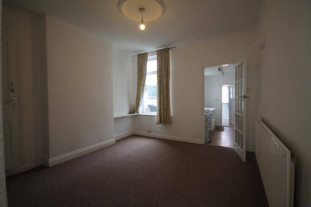
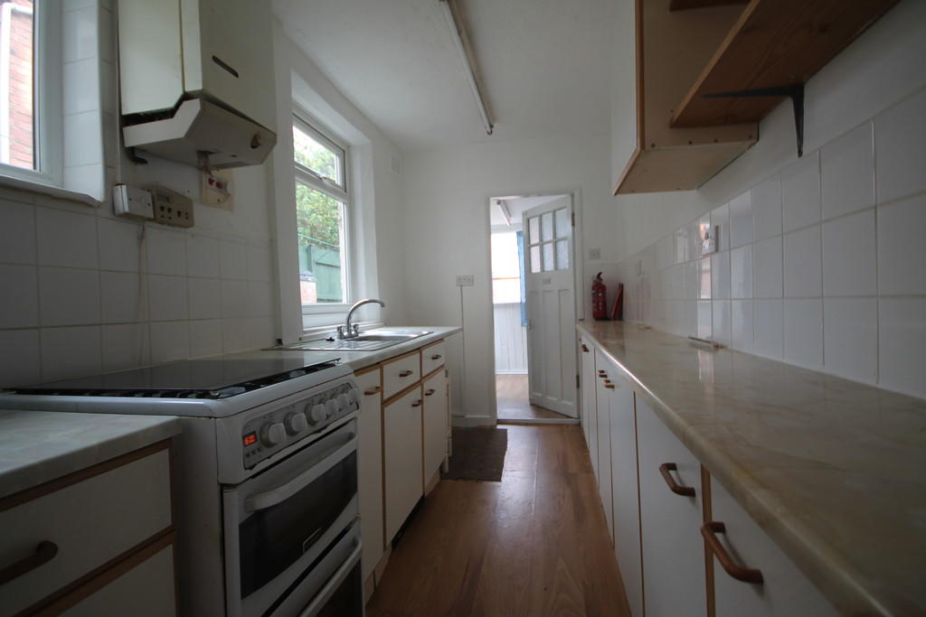
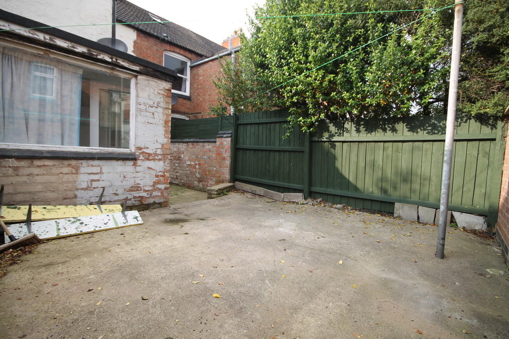
Photo 1 Photo 2 Photo 3 Photo 4 Photo 5 Photo 6 Photo 7 Photo 8 Photo 9
/ 9
Property details
Floor area
69 m²
EPC rating
E
Year built
England and Wales: 1900-1929
Deprivation
Decile 2 (5,611 of 33,755)
Street crime
1184 incidents within 1 mile (Apr 2026)
Key features
- Two Double Bedrooms
- Available To View Immediately
- Low Maintenance Yard To Rear
- Gas Central Heating
- Double Glazed
- Permit Parking
- Kitchen & Utility
- Council Tax Band A
- Close to City Centre
Additional details
- Parking
- Permit
- Garden
- Yes
Description
FREE LANDLORDS RENTAL VALUATIONS-CALL KEYWEST 01162544555
Listed by
Leicester
Keywest Estate Agents
Reference: 62014588
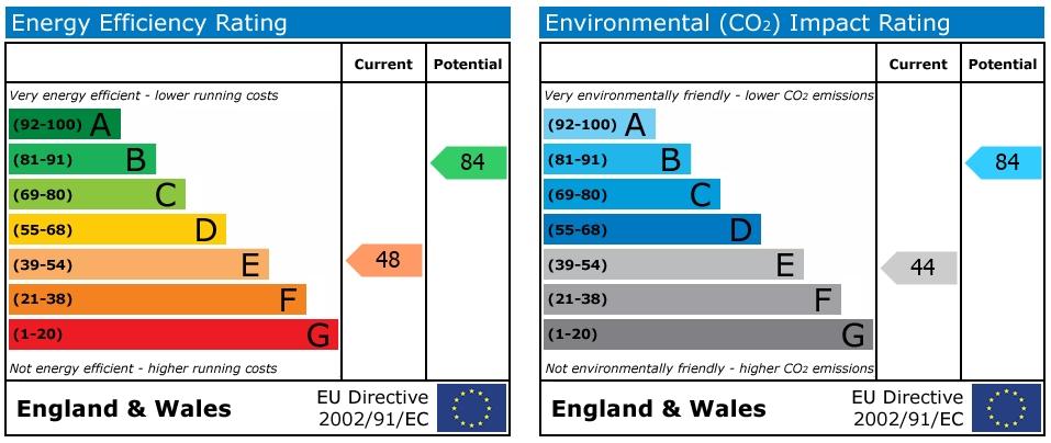
EPC Rating & Upgrade Cost
Current rating: E
Potential rating: B
Inspection date: 03/08/2024
Expiry date: 02/08/2034
Current heating cost: £1,387/year
Potential heating cost: £889/year
Est. upgrade cost to C: £22,500
Recommendations
- 50 mm internal or external wall insulation (£4,000 - £14,000)
- Floor insulation (suspended floor) (£800 - £1,200)
- Upgrade heating controls (£350 - £450)
- Replace boiler with new condensing boiler (£2,200 - £3,000)
- Solar water heating (£4,000 - £6,000)
- Solar photovoltaic panels, 2.5 kWp (£3,500 - £5,500)
Flood risk
Zone: 2
Risk: In flood risk area
Environment Agency Flood Risk Areas (APSFR)
EPC Graphs
EPC 1
Rental Range
Estimated market rent for Leicester. Low = conservative, Realistic = average, Optimistic = best case.
Based on Local Authority from postcode lookup → Leicester.
LHA (30th percentile) floor for Leicester: £648/mo (Apr 2025 – Mar 2026)
Location
Nearby
Nearest stations, universities and amenities (distance from property).
| Type | Name | Distance |
|---|---|---|
| Shop | West-End Laundrette | 0.1 miles |
| Shop | Freedom Mobility | 0.1 miles |
| University | University of Leicester | 0.1 miles |
| Bus stop | Kate Street | 0.3 miles |
| Bus stop | Tudor Road | 0.3 miles |
| University | Unknown | 0.5 miles |
| Hospital | Leicester Royal Infirmary | 0.8 miles |
| Train station | Unknown | 1.1 miles |
| Train station | Leicester | 1.2 miles |
| Hospital | South Entrance | 1.9 miles |
Street-level crime
| Category | Count |
|---|---|
| Violence and sexual offences | 380 |
| Anti-social behaviour | 149 |
| Public order | 146 |
| Shoplifting | 131 |
| Criminal damage and arson | 105 |
| Other theft | 79 |
| Drugs | 51 |
| Vehicle crime | 31 |
| Burglary | 29 |
| Other crime | 22 |
| Bicycle theft | 21 |
| Theft from the person | 15 |
| Robbery | 14 |
| Possession of weapons | 11 |
| Total incidents | 1184 |
Within 1 mile during Apr 2026. Source: data.police.uk (England & Wales).
Schools nearby
Nearest open schools with Ofsted ratings (England). Closed schools are not shown. Data from Get Information about Schools and Ofsted.
| Name | Type | Distance | Ofsted |
|---|---|---|---|
| Shaftesbury Junior School | Primary | 0.1 miles | Good — 22 Mar 2022 |
| King Richard III Infant and Nursery School | Primary | 0.2 miles | Requires improvement — 9 Jun 2024 |
| Cherryleas Assessment Centre | Other | 0.2 miles | — (No rating) |
| Brook Mead Academy | Secondary | 0.4 miles | Outstanding — 7 May 2024 |
| Castle Mead Academy | Secondary | 0.5 miles | Outstanding — 16 Nov 2023 |
Rental Comparables
Rental listings exist nearby, but none matched the 2-bedroom count for this property.