35 RUSSELL STREET
KETTERING, NORTHAMPTONSHIRE NN16 0EL
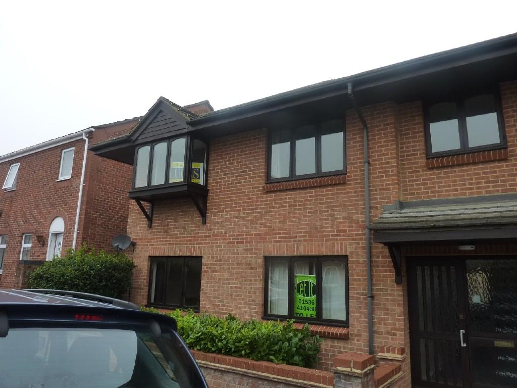
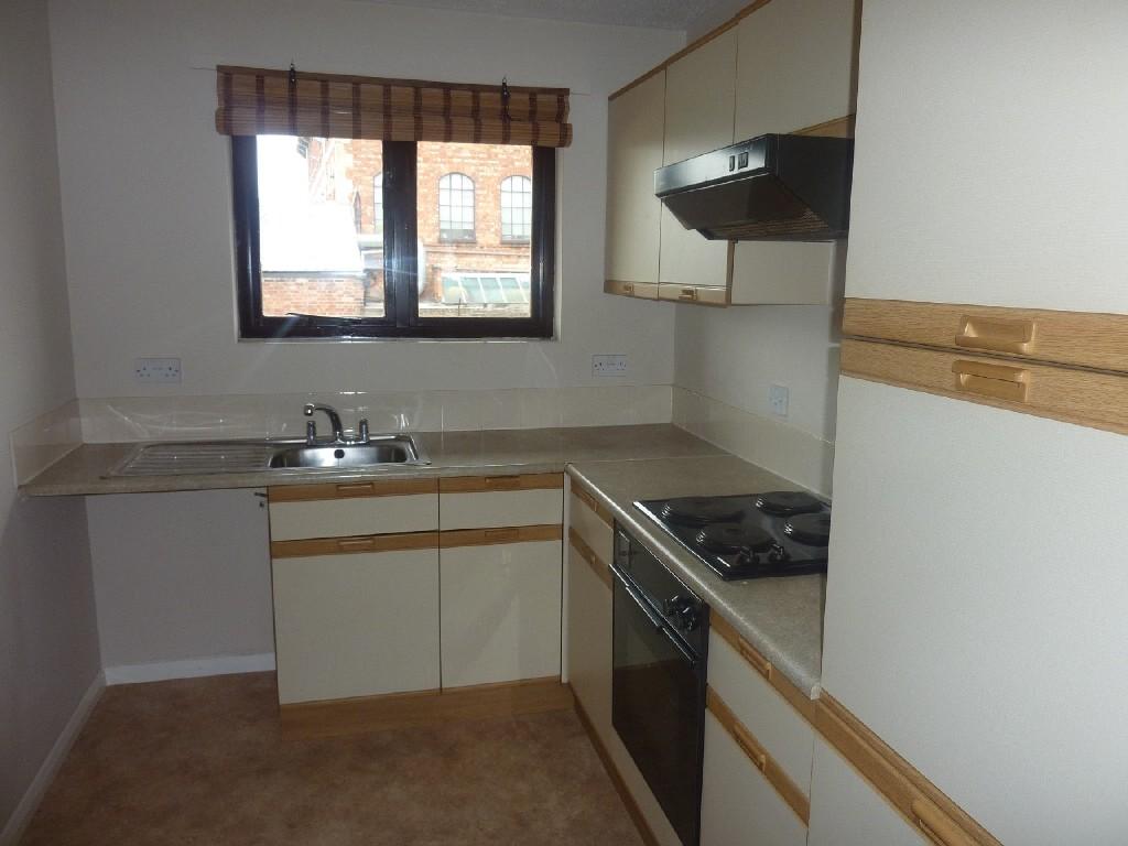
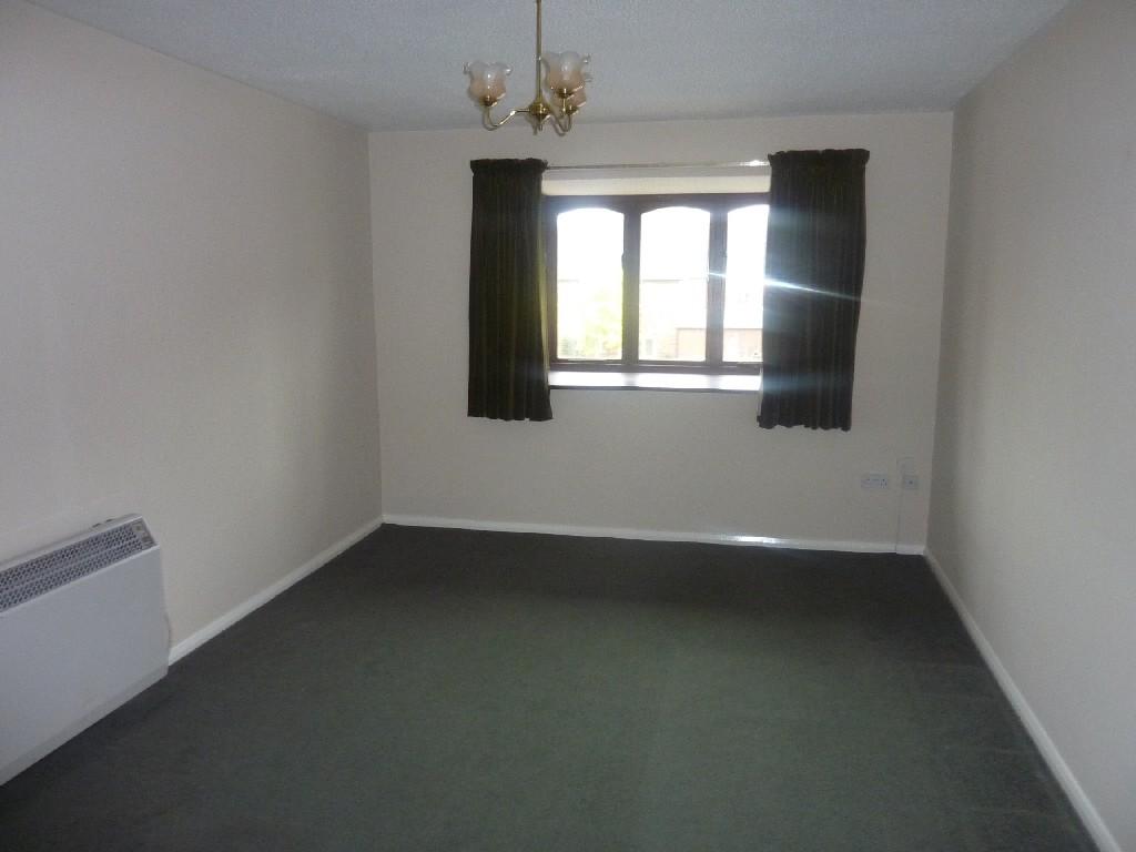
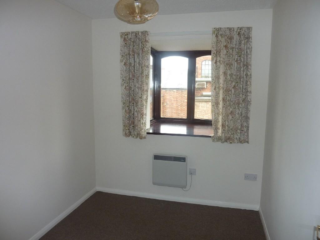
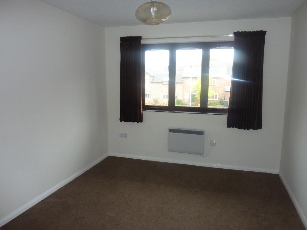
Photo 1 Photo 2 Photo 3 Photo 4 Photo 5
/ 5
Property details
Last sold
£63,000 Mar 2011
Local average
£98,306 (-35.9%)
Deprivation
Decile 3 (9,324 of 33,755)
Street crime
448 incidents within 1 mile (Apr 2026)
Additional details
- Parking
- Yes
Description
Listed by
Kettering
Simpson & Partners
Reference: 17280918
EPC Rating & Upgrade Cost
Fetching EPC data… Refresh this page in a moment.
Flood risk
Zone: 1
Risk: Low
Job (default Low)
FENSA Certificates
This property has 2 FENSA certificate(s) on record, indicating window/door installations by FENSA-approved installers.
FENSA Certificate #12061001
Property Details
Street: 35 Russell Street
Town: KETTERING
Postcode: NN16 0EL
Installation Details
Items: 4 windows
Certificate Issued: 28/11/2016
Work Completed: 27/10/2016
This certificate data was retrieved from FENSA's database
FENSA Certificate #13296712
Property Details
Street: 35 Russell Street
Town: KETTERING
Postcode: NN16 0EL
Installation Details
Items: 3 windows
Certificate Issued: 18/12/2018
Work Completed: 04/11/2018
This certificate data was retrieved from FENSA's database
What is FENSA? FENSA (Fenestration Self-Assessment Scheme) is a government-authorised scheme that monitors building regulation compliance for replacement windows and doors. Certificates indicate that work was completed by FENSA-approved installers.
Price history
| Event | Date | Price | % change |
|---|---|---|---|
| Sold | 31/03/2011 (15 years ago) | £63,000 | — |
Source: HM Land Registry Price Paid Data. Crown copyright.
Sold Comparables
Same street and nearby sales within 0.25 miles (last 5 years). Data from Land Registry Price Paid.
| Address | Price | Date | Type |
|---|---|---|---|
| Same street 24 RUSSELL STREET, KETTERING, NORTH NORTHAMPTONSHIRE, NN16 0EL | £128,000 | 17/05/2024 | Flat |
| Same street 8 RUSSELL STREET, KETTERING, NORTH NORTHAMPTONSHIRE, NN16 0EL | £125,000 | 15/09/2023 | Flat |
| 16 GREEN LANE, KETTERING, NORTH NORTHAMPTONSHIRE, NN16 0DA | £105,000 | 28/07/2023 | Flat |
| 36 GLADSTONE STREET, KETTERING, NORTH NORTHAMPTONSHIRE, NN16 0TE | £122,500 | 14/07/2023 | Flat |
| 26 GLADSTONE STREET, KETTERING, NORTH NORTHAMPTONSHIRE, NN16 0TE | £121,350 | 20/04/2023 | Flat |
| 8 GREEN LANE, KETTERING, NORTH NORTHAMPTONSHIRE, NN16 0DA | £113,000 | 31/03/2023 | Flat |
| Same street 43 RUSSELL STREET, KETTERING, NORTH NORTHAMPTONSHIRE, NN16 0EL | £125,500 | 11/11/2022 | Flat |
| 55A VICTORIA STREET, KETTERING, NORTH NORTHAMPTONSHIRE, NN16 0BU | £110,000 | 04/11/2022 | Flat |
| CHAPMANS COURT FLAT 12 MILL ROAD, KETTERING, NORTH NORTHAMPTONSHIRE, NN16 0RZ | £97,000 | 26/07/2022 | Flat |
| 16 GLADSTONE STREET, KETTERING, NORTH NORTHAMPTONSHIRE, NN16 0TE | £78,000 | 24/06/2022 | Flat |
| Same street 18 RUSSELL STREET, KETTERING, NORTH NORTHAMPTONSHIRE, NN16 0EL | £122,500 | 31/05/2022 | Flat |
| 18 GREEN LANE, KETTERING, NORTH NORTHAMPTONSHIRE, NN16 0DA | £115,000 | 22/04/2022 | Flat |
| CHAPMANS COURT FLAT 10 MILL ROAD, KETTERING, NORTH NORTHAMPTONSHIRE, NN16 0RZ | £80,000 | 15/10/2021 | Flat |
Street average: £125,250 (4 sales)
Area average: £104,650 (9 sales)
Capital growth trend
Land Registry outcode average: last 12 months vs 5y and 10y ago (from sold prices).
House Price Index (HM Land Registry — official index, not sold-price averages): North Northamptonshire. Series: Flats and maisonettes. As of March 2026.
Rental Range
Estimated market rent for North Northamptonshire. Low = conservative, Realistic = average, Optimistic = best case.
Based on Local Authority from postcode lookup → North Northamptonshire.
LHA (30th percentile) floor for Northants Central: £693/mo (Apr 2025 – Mar 2026)
Location
Nearby
Nearest stations, universities and amenities (distance from property).
| Type | Name | Distance |
|---|---|---|
| Shop | Russell Street Off Licence | 0.1 miles |
| Bus stop | Police Station (opp) | 0.1 miles |
| Bus stop | Police Station (o/s) | 0.1 miles |
| Shop | Elisse Tattoo | 0.2 miles |
| Train station | Kettering | 0.5 miles |
| Hospital | Procurement & Supplies Department (Stores) | 0.8 miles |
| Train station | Wicksteed Park | 1.1 miles |
| Hospital | Manfield Health Campus | 10.9 miles |
Street-level crime
| Category | Count |
|---|---|
| Violence and sexual offences | 170 |
| Anti-social behaviour | 117 |
| Public order | 33 |
| Criminal damage and arson | 32 |
| Shoplifting | 20 |
| Other theft | 19 |
| Drugs | 16 |
| Vehicle crime | 11 |
| Burglary | 9 |
| Other crime | 6 |
| Possession of weapons | 6 |
| Robbery | 6 |
| Bicycle theft | 2 |
| Theft from the person | 1 |
| Total incidents | 448 |
Within 1 mile during Apr 2026. Source: data.police.uk (England & Wales).
Schools nearby
Nearest open schools with Ofsted ratings (England). Closed schools are not shown. Data from Get Information about Schools and Ofsted.
| Name | Type | Distance | Ofsted |
|---|---|---|---|
| St Mary's Church of England Voluntary Aided Primary School | Primary | 0.4 miles | Good — 13 Jun 2011 |
| Hawthorn Community Primary School | Primary | 0.4 miles | Good — 4 Oct 2023 |
| Compass Primary Academy | Primary | 0.5 miles | Good — 28 Jun 2023 |
| Kettering Science Academy | Secondary | 0.5 miles | Good — 18 Sep 2023 |
| St Peter's School | Other | 0.6 miles | — (No rating) |
Rental Comparables
Rental comparables are temporarily unavailable while listing-site fetches are paused. Try again later.
Rent-driven metrics
Based on Area rent estimate.
- Rent ratio — Monthly rent ÷ purchase price (1% rule). 1%+ = strong, 0.8–1% = okay, <0.8% = weak for cashflow.
- Max investor price — Rent ÷ 0.8%; the price at which rent would be 0.8% of price (Stoke-style target).
- Target investor price — Rent ÷ 1%; the price at which rent would be 1% of price (strong cashflow band).
- Gross yield — Annual rent as % of purchase price (no costs).