APARTMENT 18
MITCHIAN GRAND UNION BUILDING, 55, NORTHGATE STREET, LEICESTER, LEICESTER LE3 5BZ
Property details
Street crime
1304 incidents within 1 mile (Apr 2026)
Key features
- Grand Mitchian Union Building
- Leicester City Centre
- BRAND NEW DEVELOPMENT
- Rooftop Garden
- Secure Development
- Ultra Modern Apartment
- Executive Living
- Call Set To Let
- Fully Furnished
Additional details
- Garden
- Yes
Description
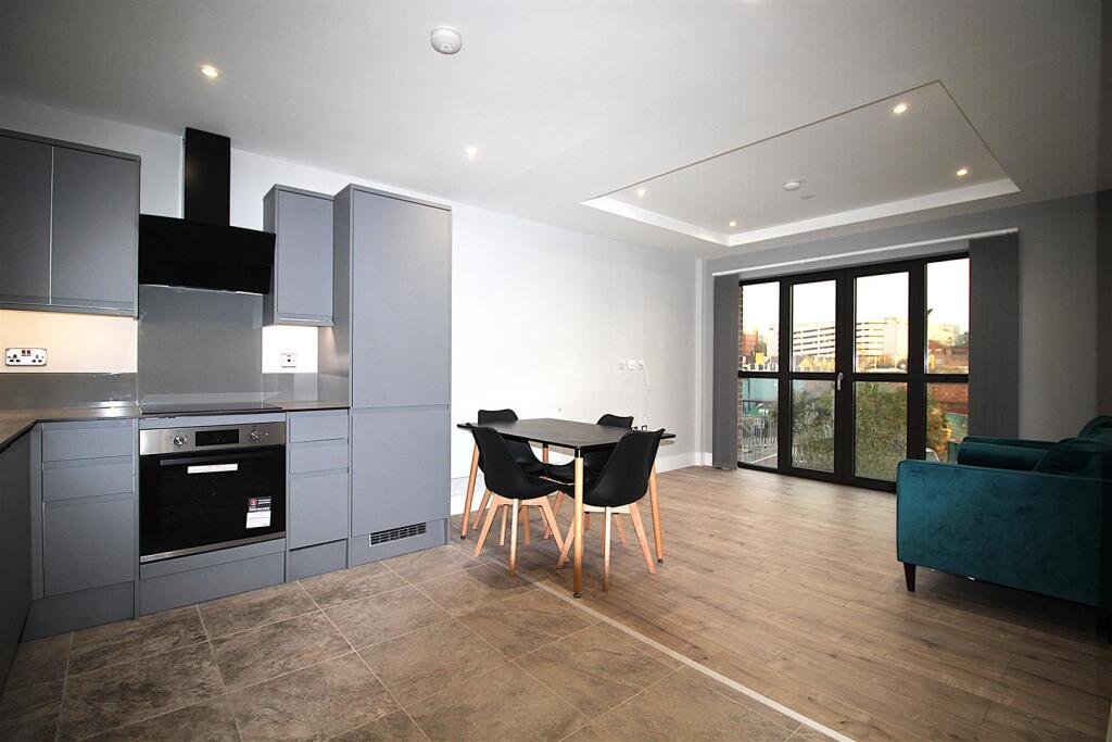
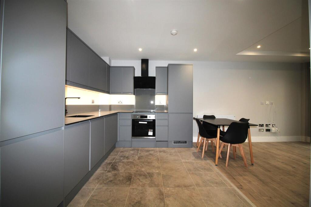
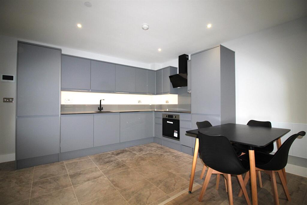
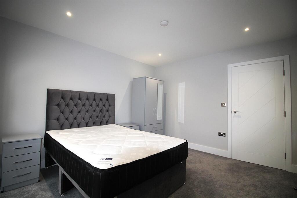
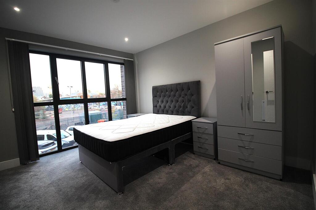
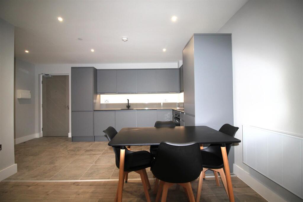
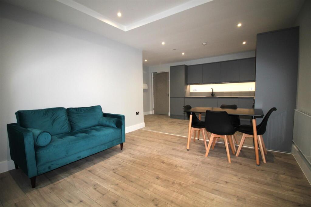
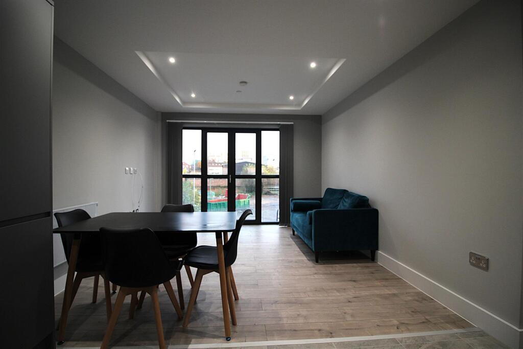
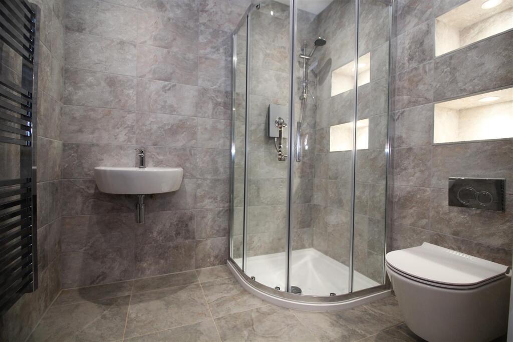
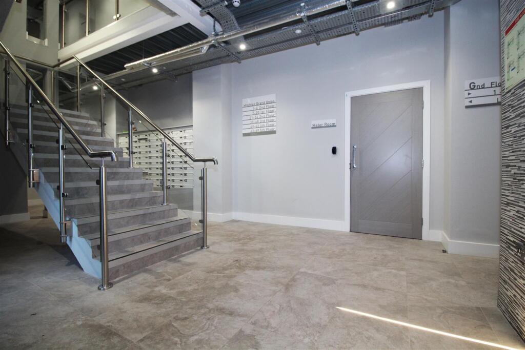
Property comprises in brief, entrance hall leading to open plan lounge with large windows and Juliet balcony allowing plenty of natural light. Sleek modern kitchen with all appliances integrated and a range of wall and base level cupboards. Generous bedroom with large windows and a spacious bathroom fully tiled.
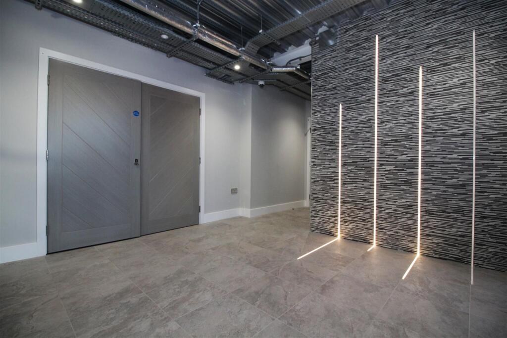
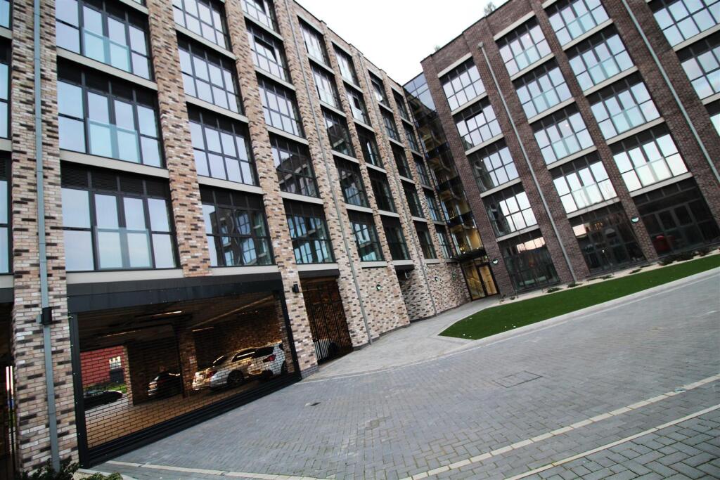
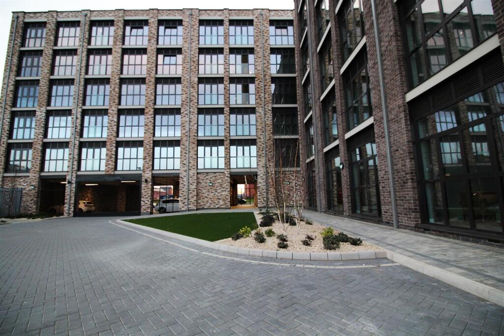
Mitchian Grand Union Building is a BRAND NEW development in City Centre, Leicester. A striking development within secure grounds, video and fob entry systems and lift access to all floors. A rooftop garden with seating available for all residents to enjoy and compliment this spectacular site.
Call Set To Let to arrange a viewing.
Listed by
Leicester
Set To Let Properties Ltd
Reference: 164355314
EPC Rating & Upgrade Cost
Fetching EPC data… Refresh this page in a moment.
Flood risk
Zone: 2
Risk: In flood risk area
Environment Agency Flood Risk Areas (APSFR)
Rental Range
Estimated market rent for Leicester. Low = conservative, Realistic = average, Optimistic = best case.
Based on Local Authority from postcode lookup → Leicester.
LHA (30th percentile) floor for Leicester: £539/mo (Apr 2025 – Mar 2026)
Location
Address
47-55 Northgate Street
Nearby
Nearest stations, universities and amenities (distance from property).
| Type | Name | Distance |
|---|---|---|
| Shop | JC Furniture Warehouse | 0.0 miles |
| Shop | Stayfree Music | 0.0 miles |
| Bus stop | Slater Street | 0.0 miles |
| Train station | Unknown | 0.3 miles |
| University | Unknown | 0.7 miles |
| University | De Montfort University | 0.8 miles |
| Train station | Leicester | 1.0 miles |
| Hospital | Leicester Royal Infirmary | 1.0 miles |
| Hospital | Unknown | 1.2 miles |
Street-level crime
| Category | Count |
|---|---|
| Violence and sexual offences | 396 |
| Shoplifting | 177 |
| Anti-social behaviour | 169 |
| Public order | 162 |
| Criminal damage and arson | 107 |
| Other theft | 88 |
| Drugs | 52 |
| Burglary | 38 |
| Vehicle crime | 37 |
| Other crime | 22 |
| Bicycle theft | 16 |
| Robbery | 14 |
| Possession of weapons | 13 |
| Theft from the person | 13 |
| Total incidents | 1304 |
Within 1 mile during Apr 2026. Source: data.police.uk (England & Wales).
Schools nearby
Nearest open schools with Ofsted ratings (England). Closed schools are not shown. Data from Get Information about Schools and Ofsted.
| Name | Type | Distance | Ofsted |
|---|---|---|---|
| Slater Primary School | Primary | 0.1 miles | Requires improvement — 6 May 2024 |
| Fosse Mead Primary Academy | Primary | 0.3 miles | Good — 8 Sep 2024 |
| Castle Mead Academy | Secondary | 0.3 miles | Outstanding — 16 Nov 2023 |
| Brook Mead Academy | Secondary | 0.4 miles | Outstanding — 7 May 2024 |
| De Montfort University | Other | 0.6 miles | — (No rating) |
Rental Comparables
Rental listings exist nearby, but none matched the 1-bedroom count for this property.