26 STROMA GARDENS
MANCHESTER, URMSTON, GREATER MANCHESTER M41 7ER
£235,000
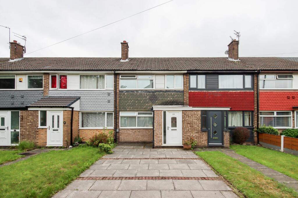
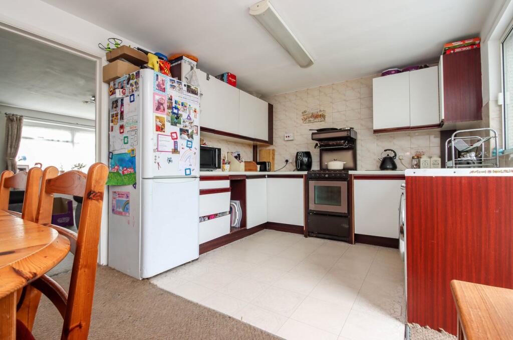
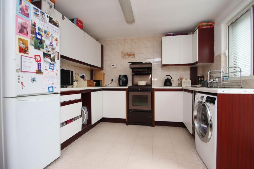
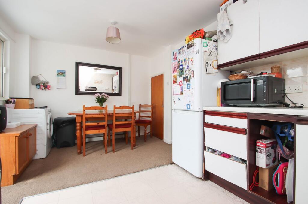
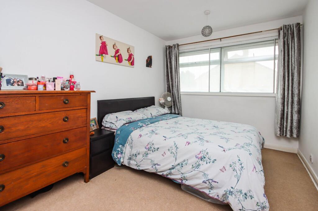
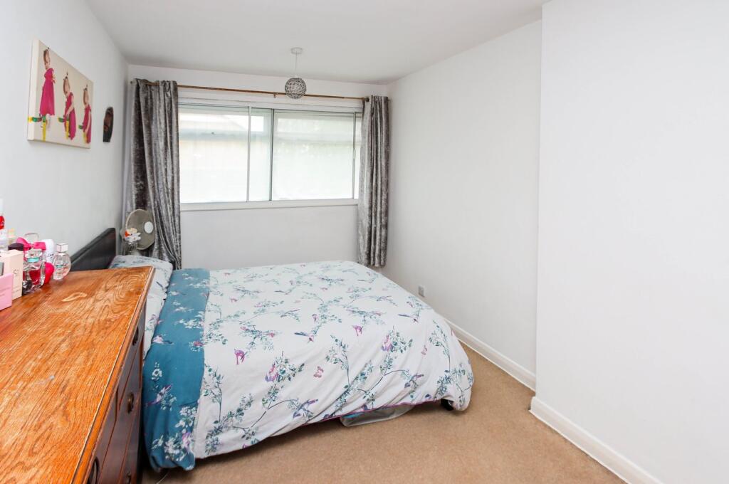
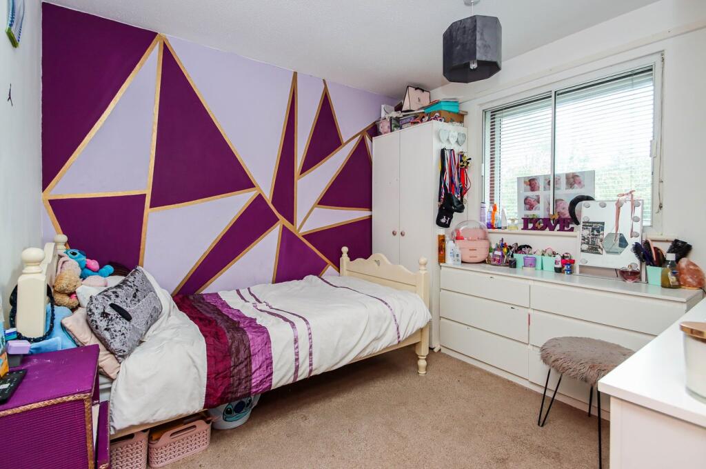
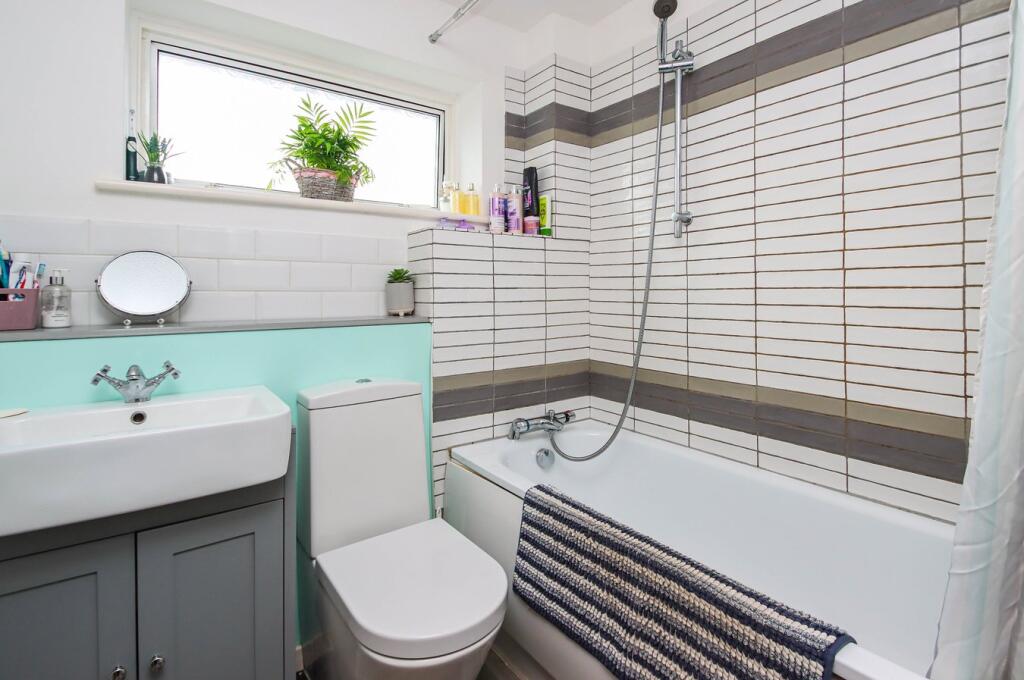
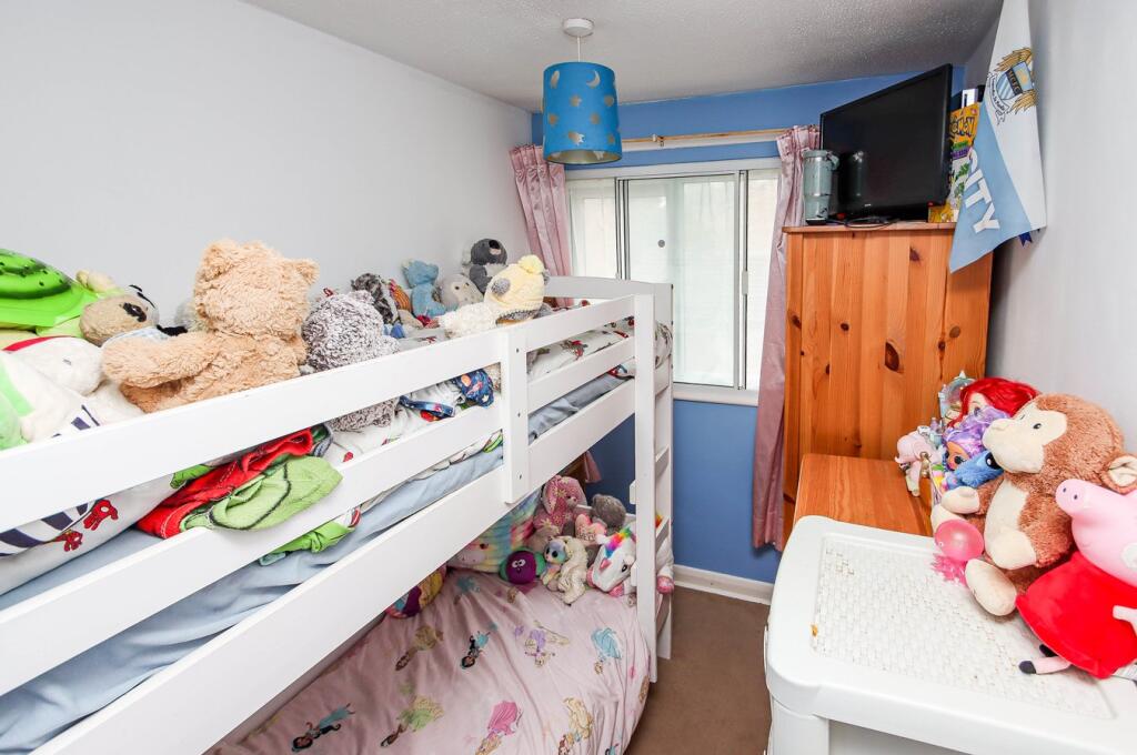
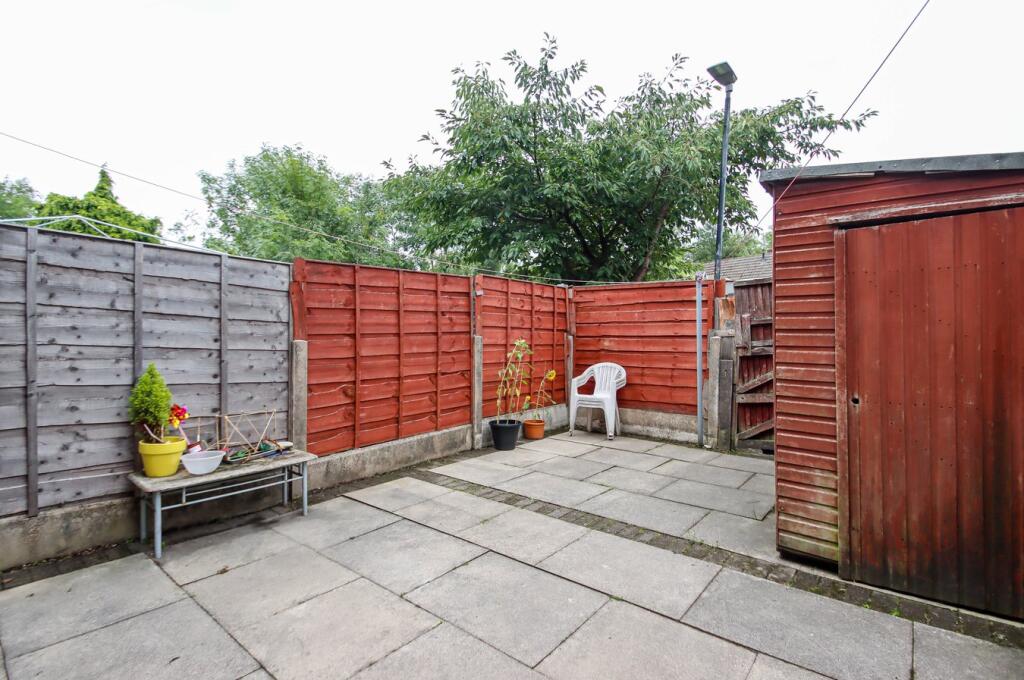
Photo 1 Photo 2 Photo 3 Photo 4 Photo 5 Photo 6 Photo 7 Photo 8 Photo 9 Photo 10 Photo 11 Photo 12
/ 12
Property details
Tenure
FREEHOLD
Floor area
72 m²
Council tax band
B
Last sold
£230,000 Jan 2026
Local average
£310,406 (-24.3%)
Deprivation
Decile 5 (16,681 of 33,755)
Street crime
0 incidents within 1 mile (Apr 2026)
Key features
- Three bedrooms
- Mid terrace townhouse
- Open plan dining kitchen
- Gas central heating
- uPVC double glazing
- Ideal first home
- Ideally placed for amenities
- Detached storage garage
- Modern fitted bathroom
- Viewing essential
Additional details
- Electricity
- Mains supply
- Water
- Mains supply
- Sewerage
- Mains supply
- Heating
- Gas central
- Parking
- Yes
- Garden
- Yes
- Listed property
- No
- Restrictions
- No
- Required access
- No
- Rights of way
- No
- Flooded in last 5 years
- No
- Flood defences
- No
Description
Listed by
South Manchester
VitalSpace
Reference: 165097352
EPC Rating & Upgrade Cost
Fetching EPC data… Refresh this page in a moment.
Flood risk
Zone: 1
Risk: Low
Job (default Low)
Floorplans
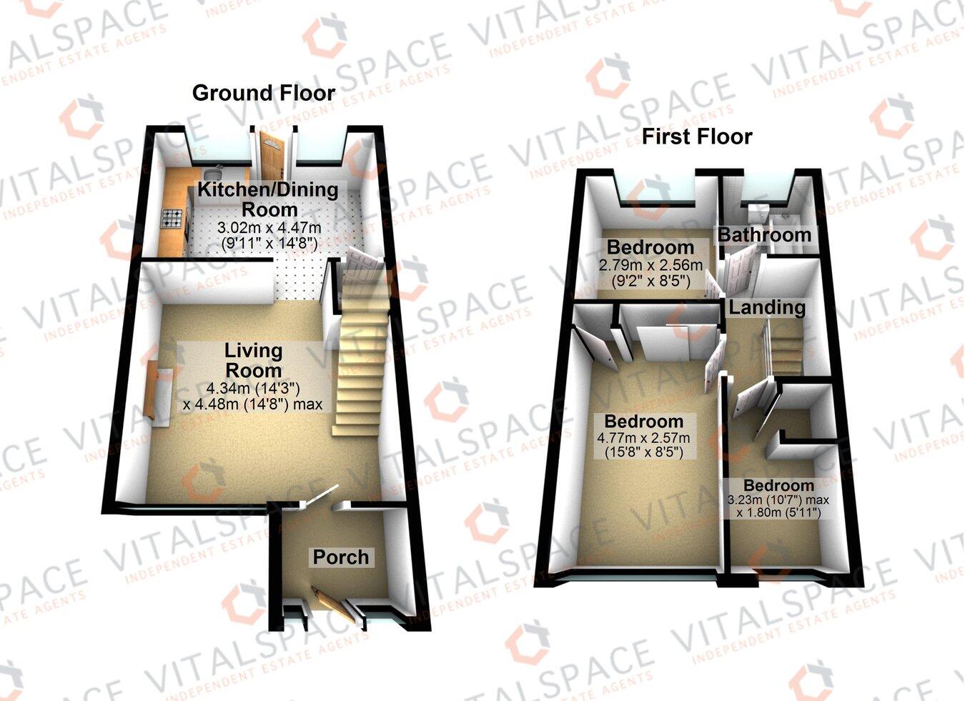
Floorplan 1
EPC Graphs
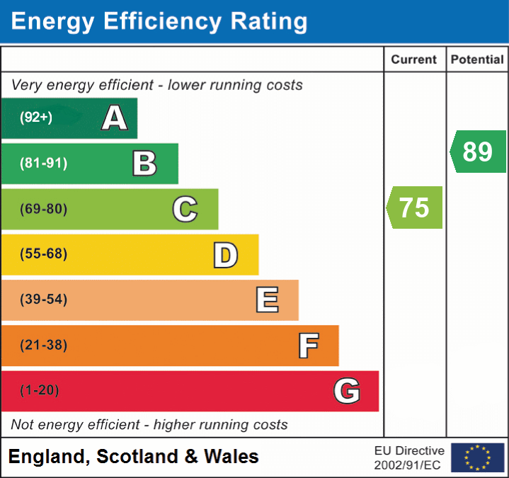
EPC 1
Price history
117% since 2013
| Event | Date | Price | % change |
|---|---|---|---|
| Sold | 30/01/2026 (4 months ago) | £230,000 | +117% |
| Sold | 20/12/2013 (12 years ago) | £106,000 | — |
Source: HM Land Registry Price Paid Data. Crown copyright.
Sold Comparables
Same street and nearby sales within 0.25 miles (last 5 years). Data from Land Registry Price Paid.
| Address | Price | Date | Type |
|---|---|---|---|
| Same street 27 STROMA GARDENS, URMSTON, MANCHESTER, TRAFFORD, GREATER MANCHESTER, M41 7ER | £202,500 | 01/07/2022 | Terraced |
Street average: £202,500 (1 sale)
Capital growth trend
Land Registry outcode average: last 12 months vs 5y and 10y ago (from sold prices).
House Price Index (HM Land Registry — official index, not sold-price averages): Trafford. Series: Terraced. As of March 2026.
Rental Range
Estimated market rent for Trafford. Low = conservative, Realistic = average, Optimistic = best case.
Based on Local Authority from postcode lookup → Trafford.
LHA (30th percentile) floor for Central Greater Manchester: £947/mo (Apr 2025 – Mar 2026)
Location
Nearby
Nearest stations, universities and amenities (distance from property).
| Type | Name | Distance |
|---|---|---|
| Shop | Dunelm | 0.1 miles |
| Bus stop | Shetland Way/Arran Gardens | 0.1 miles |
| Bus stop | Neary Way/Trafford Retail Park | 0.1 miles |
| Shop | Sports Direct | 0.1 miles |
| Train station | Urmston | 1.1 miles |
| Train station | Chassen Road | 1.3 miles |
| Hospital | Salford Gastric Bypass Surgery | 3.0 miles |
| University | Manchester School of Art | 4.9 miles |
| University | UCEN Manchester (City Campus) | 4.9 miles |
| Hospital | Altrincham Health and Wellbeing Centre | 5.3 miles |
Street-level crime
| Category | Count |
|---|---|
| Total incidents | 0 |
Within 1 mile during Apr 2026. Source: data.police.uk (England & Wales).
Schools nearby
Nearest open schools with Ofsted ratings (England). Closed schools are not shown. Data from Get Information about Schools and Ofsted.
| Name | Type | Distance | Ofsted |
|---|---|---|---|
| Our Lady of the Rosary RC Primary School | Primary | 0.5 miles | Good — 9 Dec 2021 |
| St Mary's CofE Primary School | Primary | 0.6 miles | Good — 18 May 2016 |
| Egerton High School | Other | 0.6 miles | Good — 7 Apr 2016 |
| Davyhulme Primary School | Primary | 0.7 miles | Outstanding — 12 May 2024 |
| Woodhouse Primary School | Primary | 0.7 miles | Good — 21 Jun 2023 |
Rental Comparables
Rental listings exist nearby, but none matched the 3-bedroom count for this property.
Rent-driven metrics
Based on Area rent estimate.
- Rent ratio — Monthly rent ÷ purchase price (1% rule). 1%+ = strong, 0.8–1% = okay, <0.8% = weak for cashflow.
- Max investor price — Rent ÷ 0.8%; the price at which rent would be 0.8% of price (Stoke-style target).
- Target investor price — Rent ÷ 1%; the price at which rent would be 1% of price (strong cashflow band).
- Gross yield — Annual rent as % of purchase price (no costs).